Do you want to hike part of the PCT and enjoy the peacefulness of the Sierra Nevada, all do-able as a day-trip from Southern California? Olancha Pass Trail is the right mix of adventure, solitude and beauty, without the need to travel many miles north on Route 395. Plus, there is the option to climb a 12,000+ foot peak with 360 degree views.
After a “short” 2-3 hour drive from Los Angeles, turn left off Route 395 onto Sage Flats Road. This road is paved for a short distance and then becomes gravel as it approaches the Sierra foothills, ending at the Olancha Pass Trailhead.
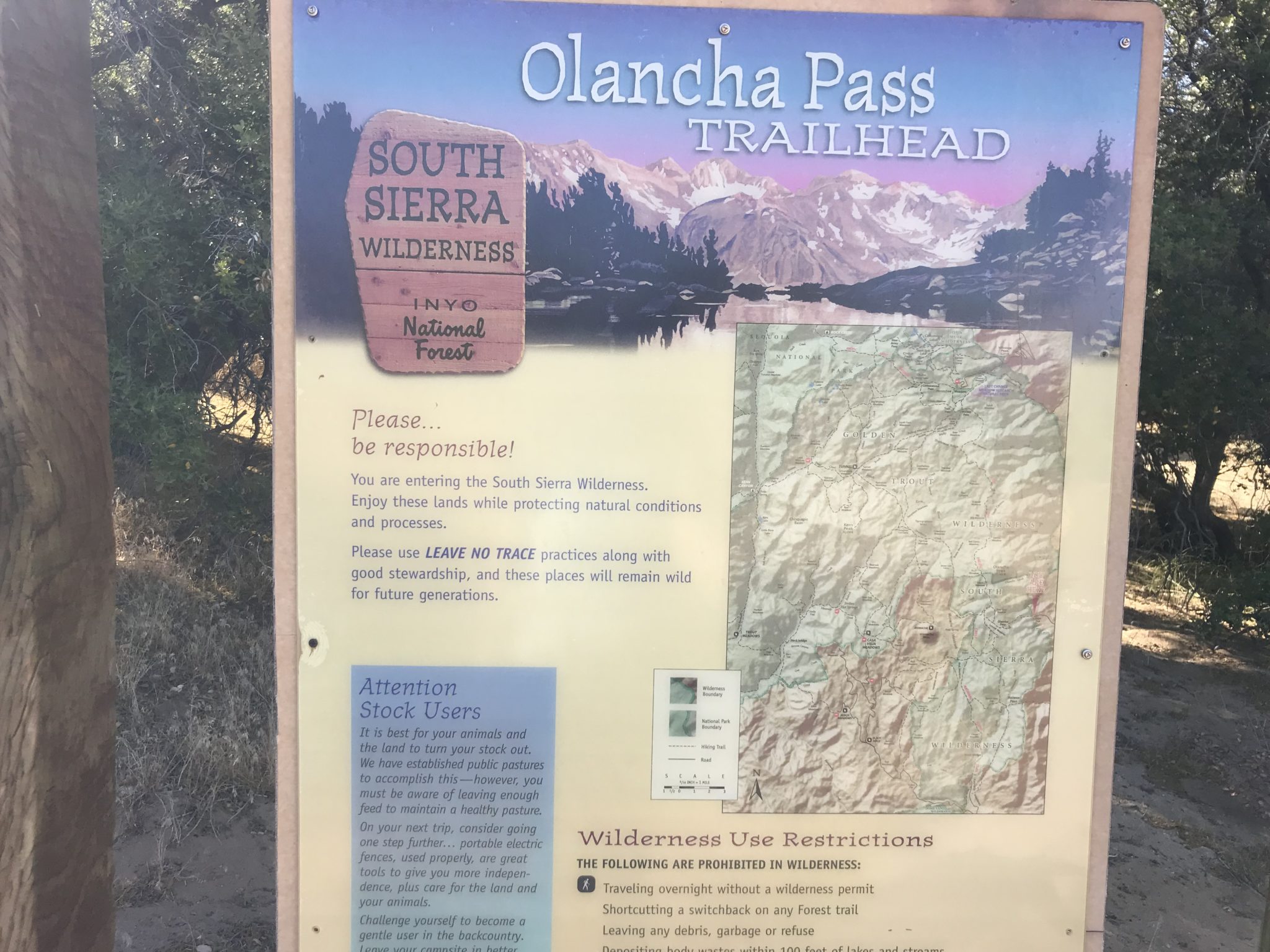
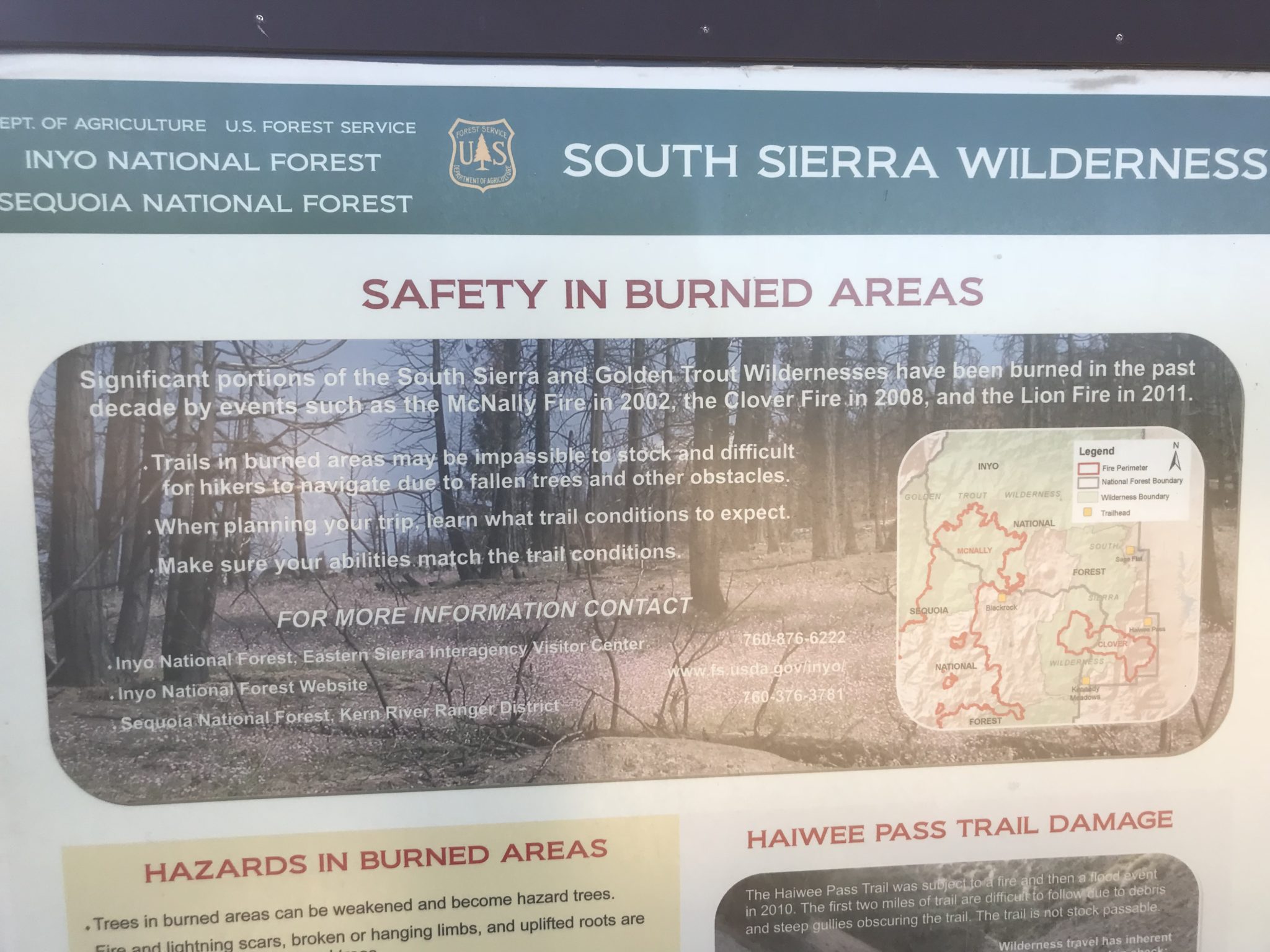
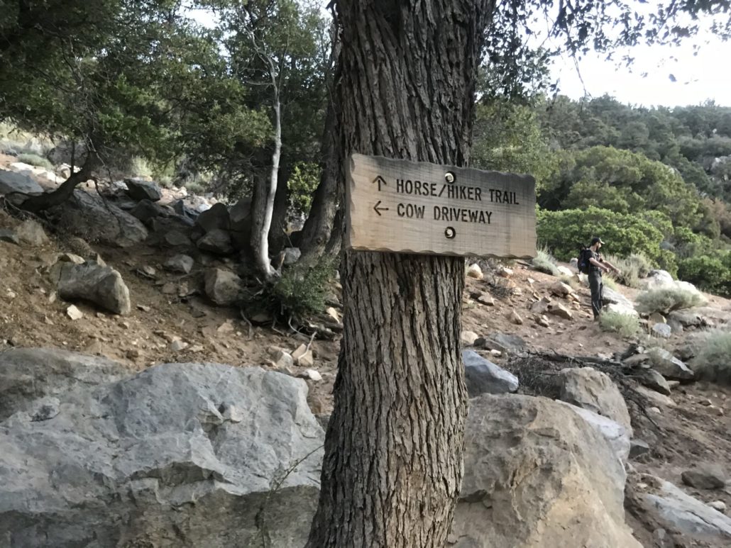
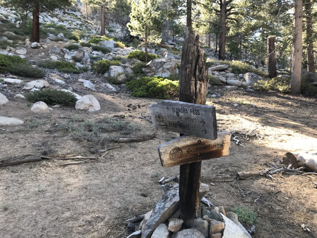
Take a moment to read the trailhead sign, as it provides useful information. This trail is a livestock trail as well; definitely watch where you step to avoid the cow pies!

Trail sign with map
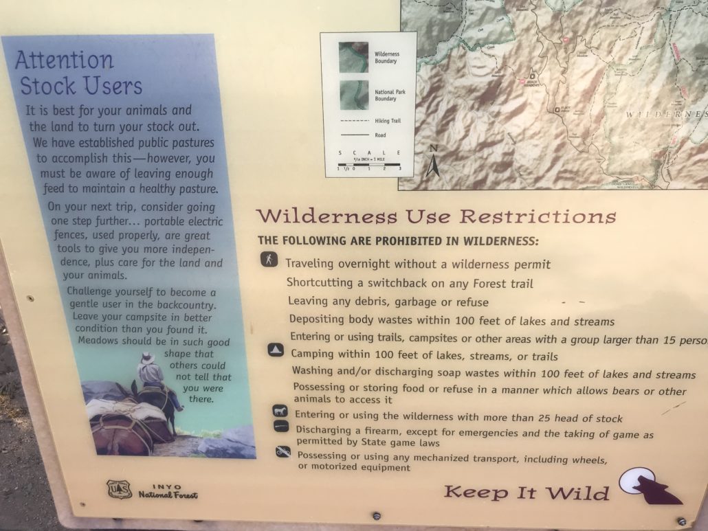
Wilderness use restrictions (close up of previous sign)

Information on burned areas
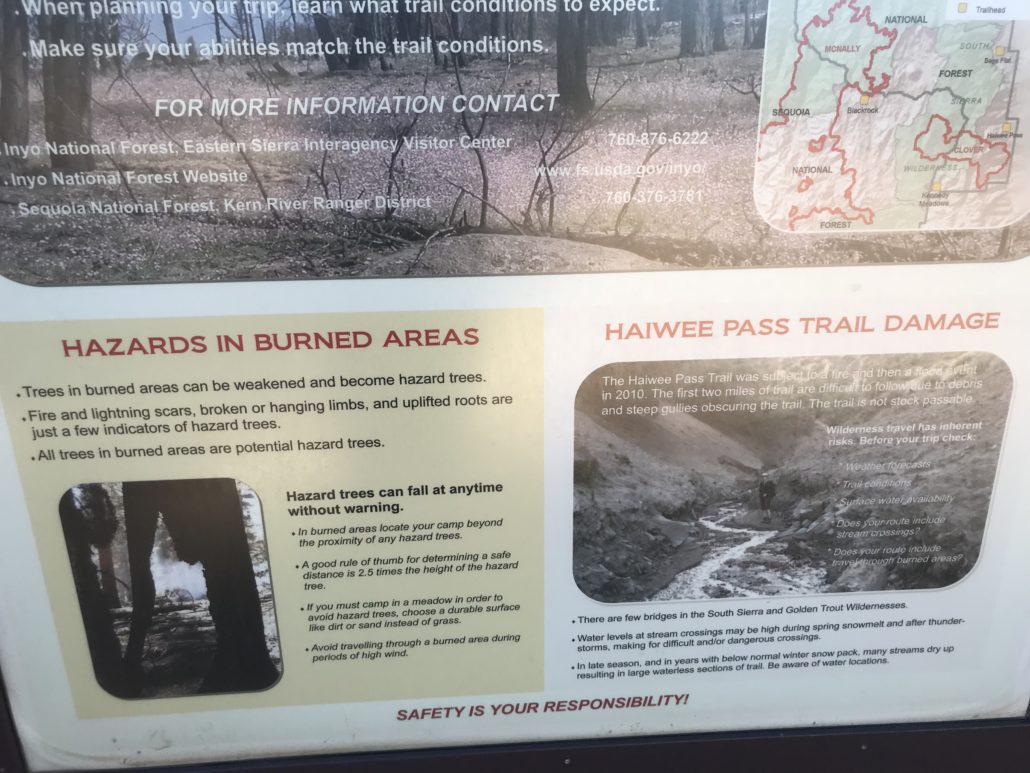
Lower portion of sign about burned areas
The first mile winds uphill adjacent to ranch property along a sandy trail. In fact, the trail is quite sandy and I advise using gaiters to avoid having to frequently empty your shoes.
There is a barbed wire fence on the left. Stay right of the fence until you reach an opening allowing entrance to the canyon. The gap in the fence is large and hard to miss.
Within a short distance, there is a gate which should be open.
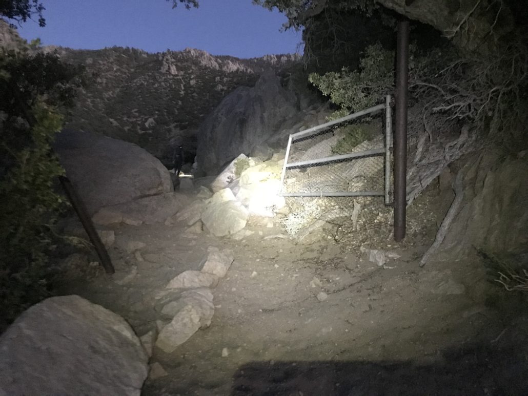
Gate leading into the canyon
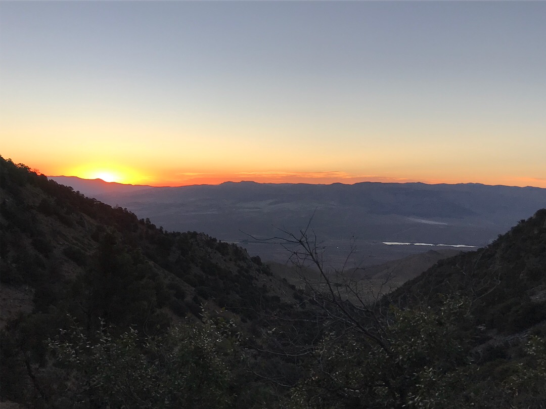
As you may notice from these headlamp-illuminated photos, this hike should be started early due to its length. However, other creatures (bears) are also awake in these early hours, so be aware and act accordingly; we passed fresh bear poop and heard rustling in the bushes nearby. In our group, we spoke loudly and often, made noise, and luckily didn’t encounter any bears or mountain lions.
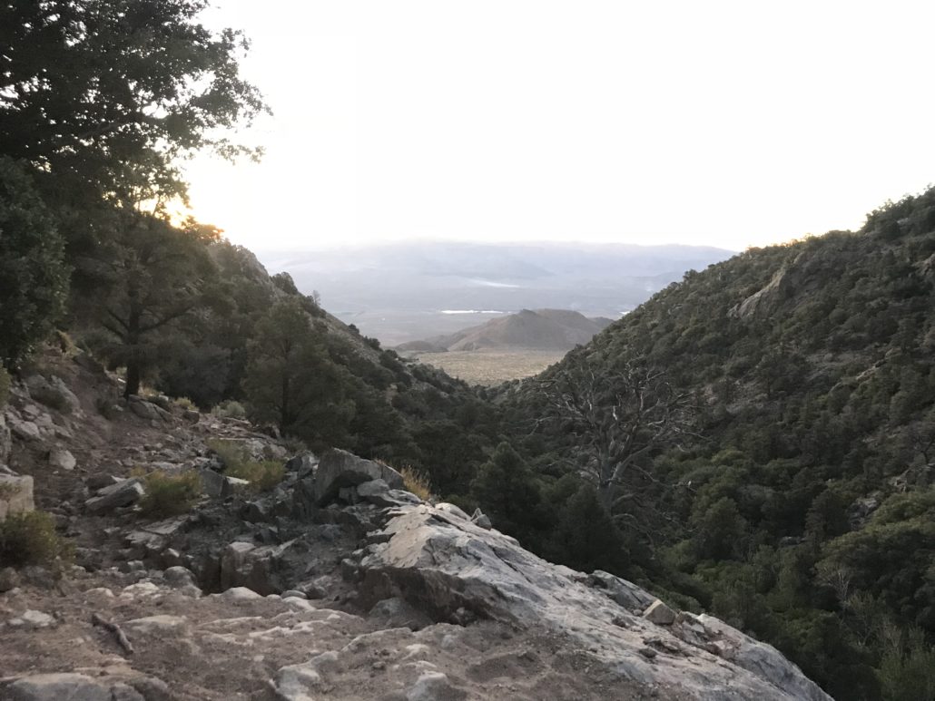
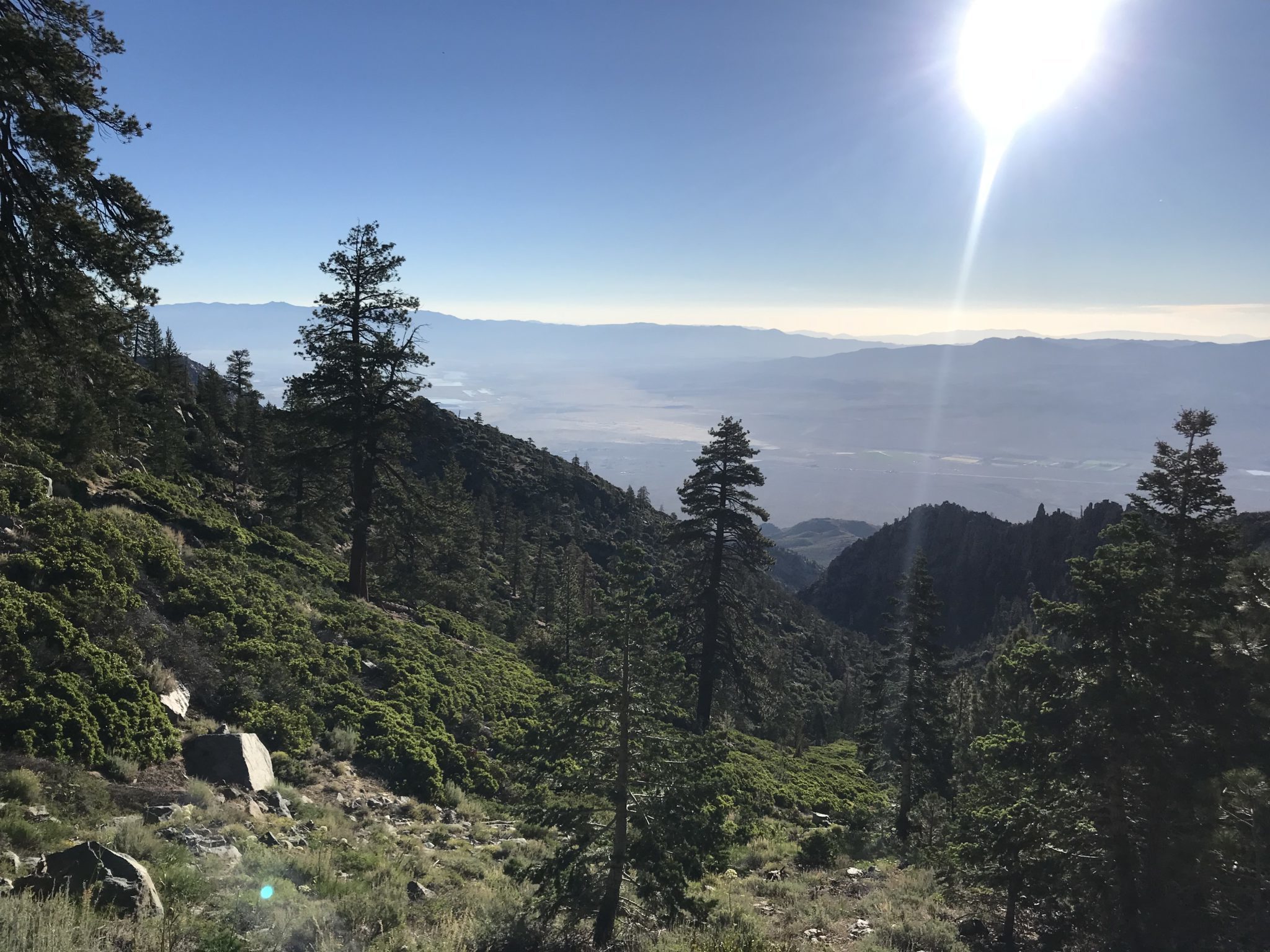
View back out of the canyon toward the Owens Valley
After 1 mile, there is an intersection. Take the horse/hiker trail uphill to the right.
Every now and then, be sure to look back at the Owens Valley for an excellent sunrise.

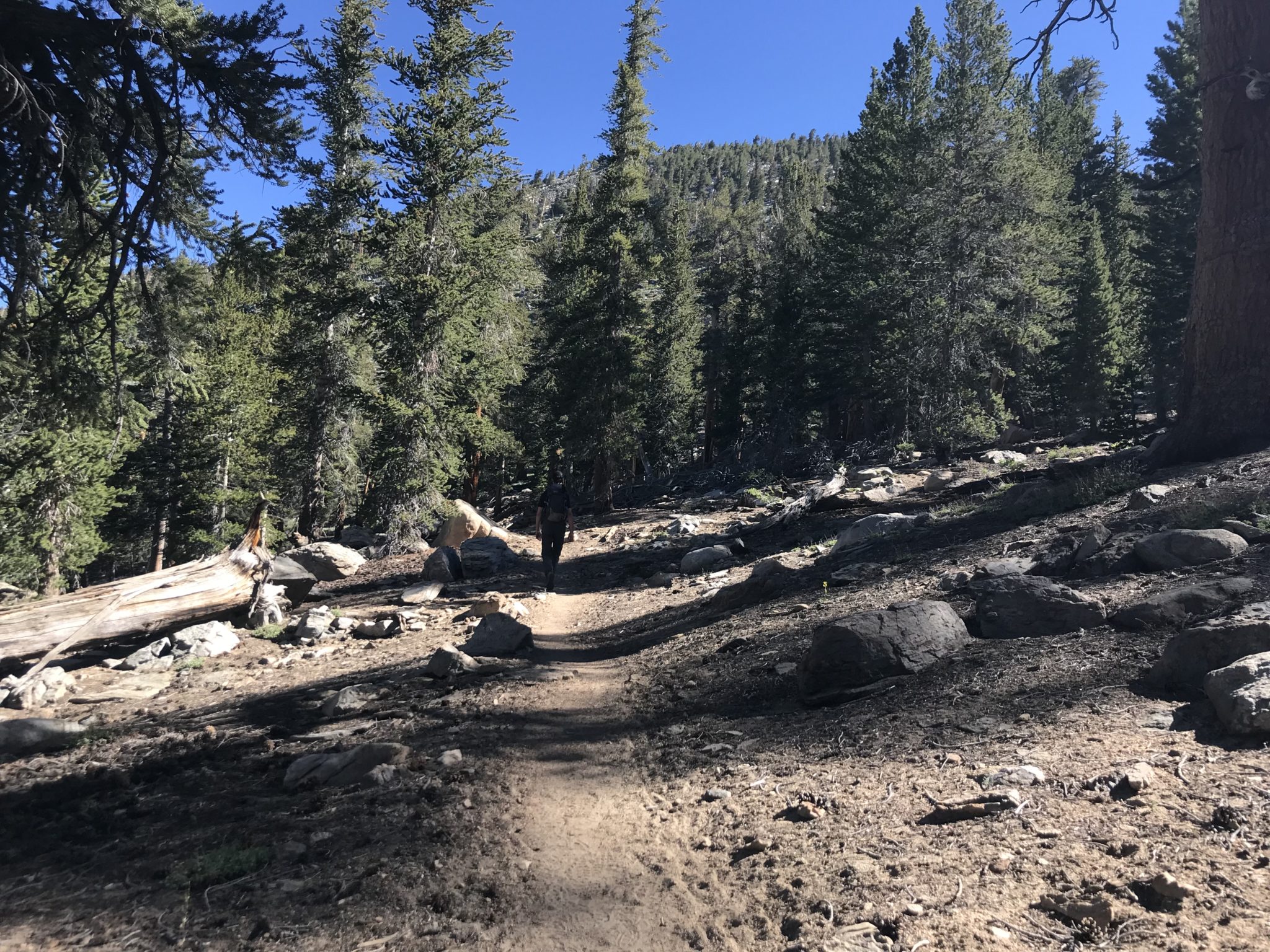
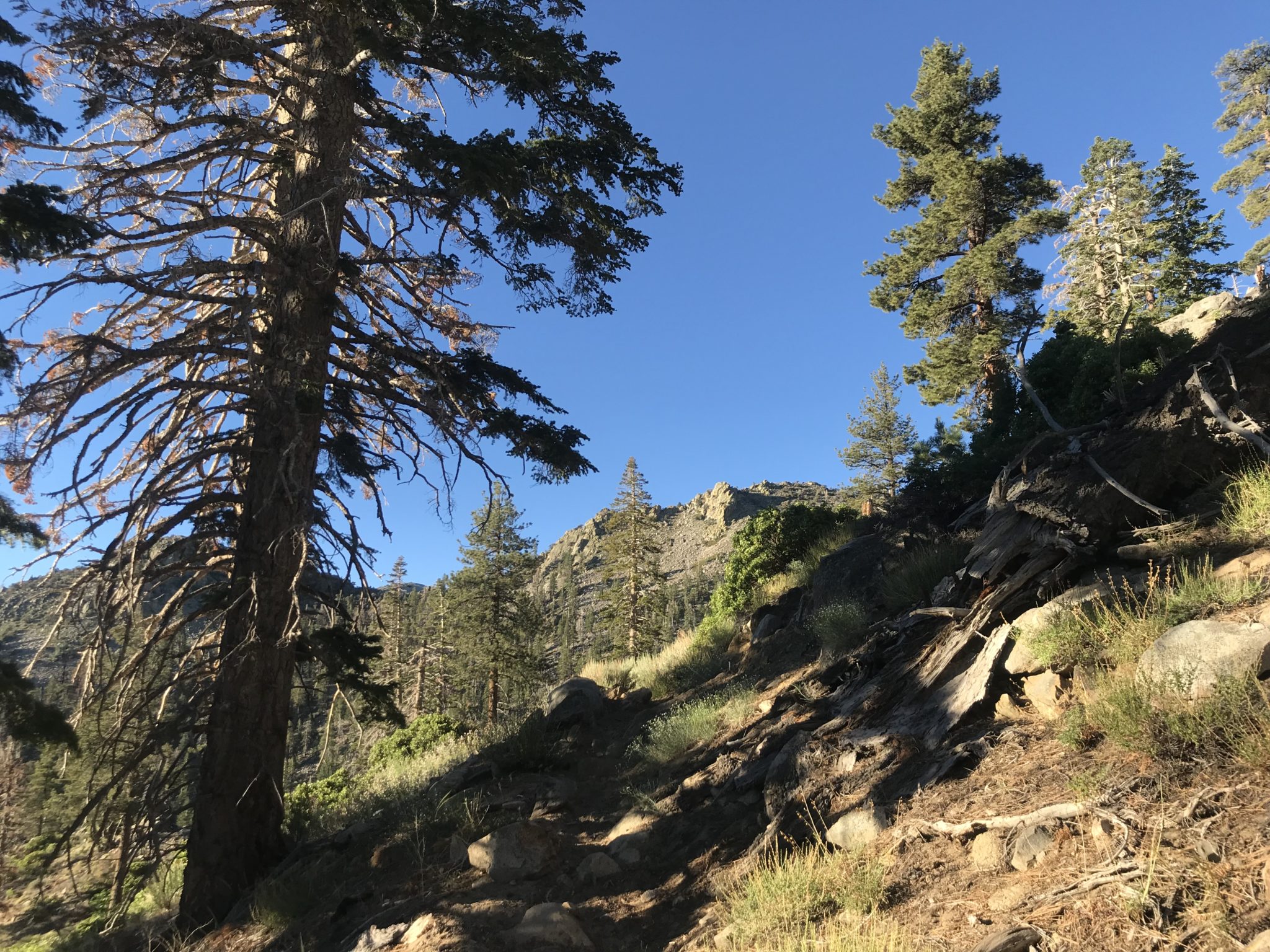
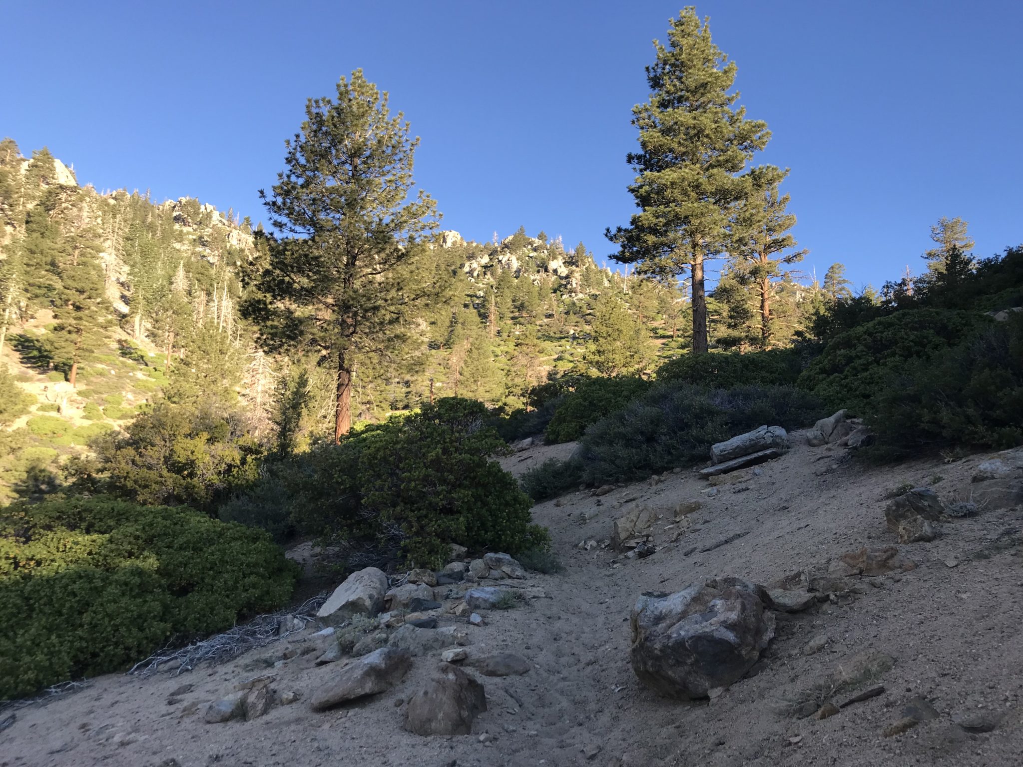
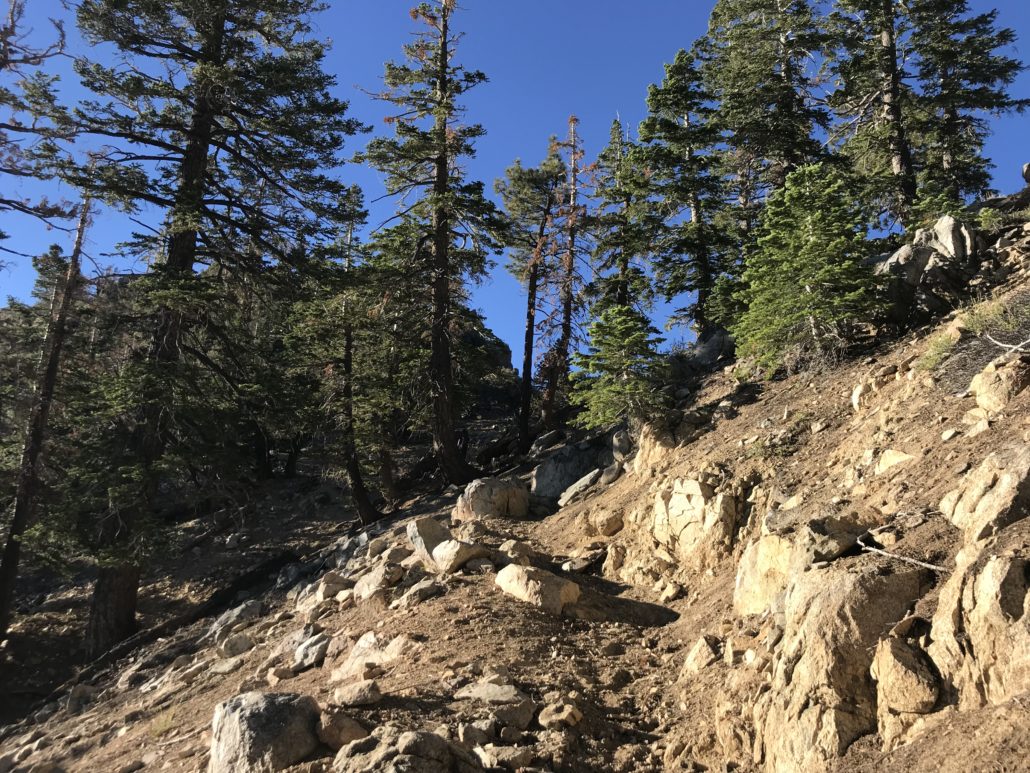
The trail remained sandy as we made our way uphill.
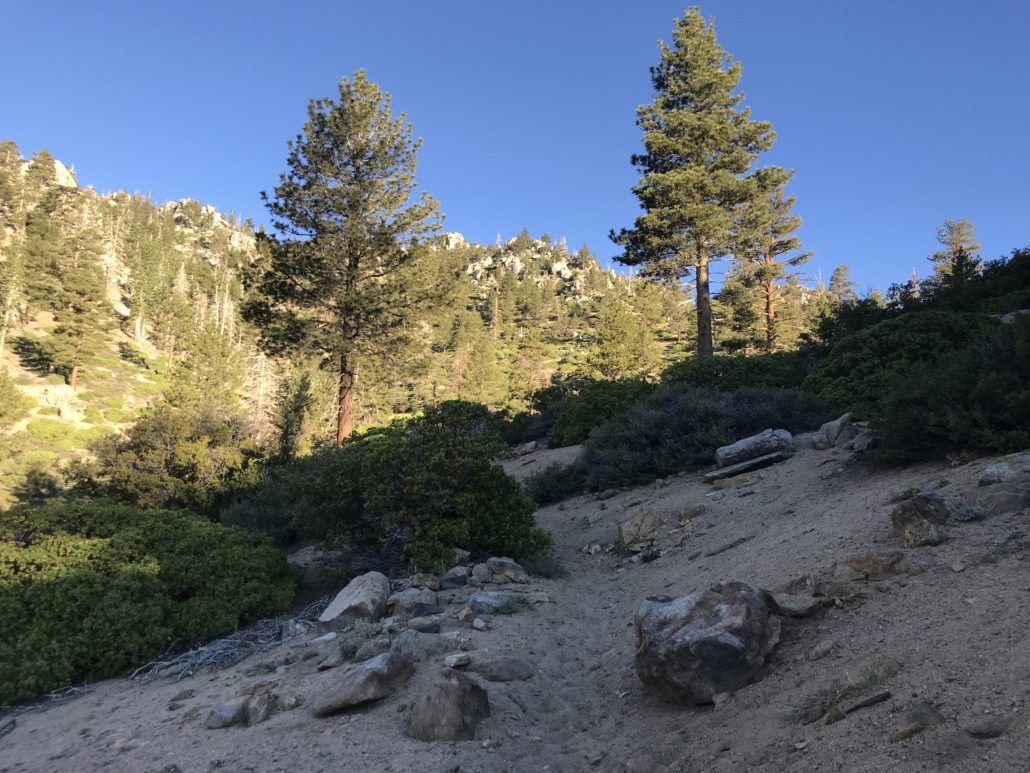
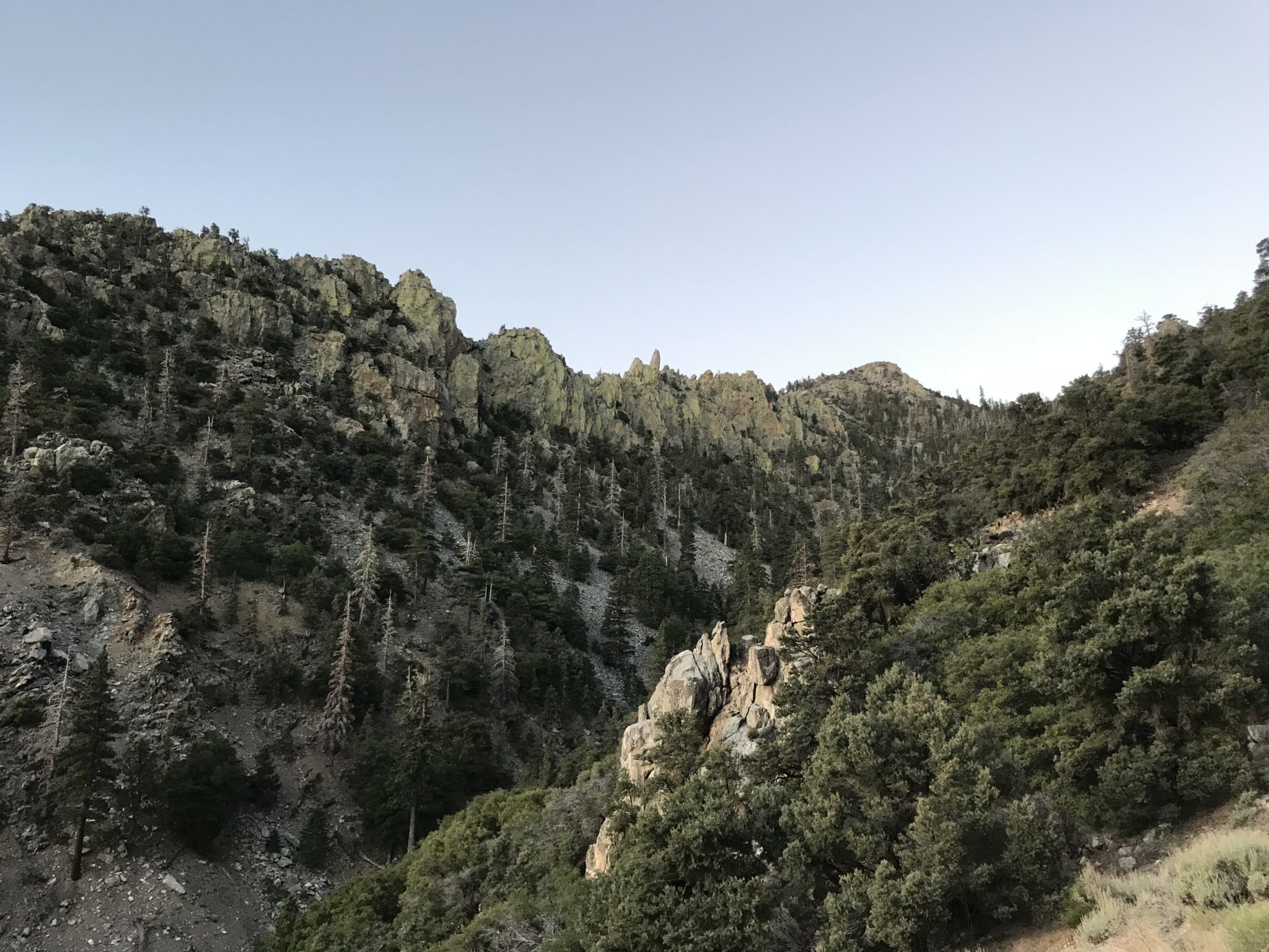
We soon reached the top of a ridge.

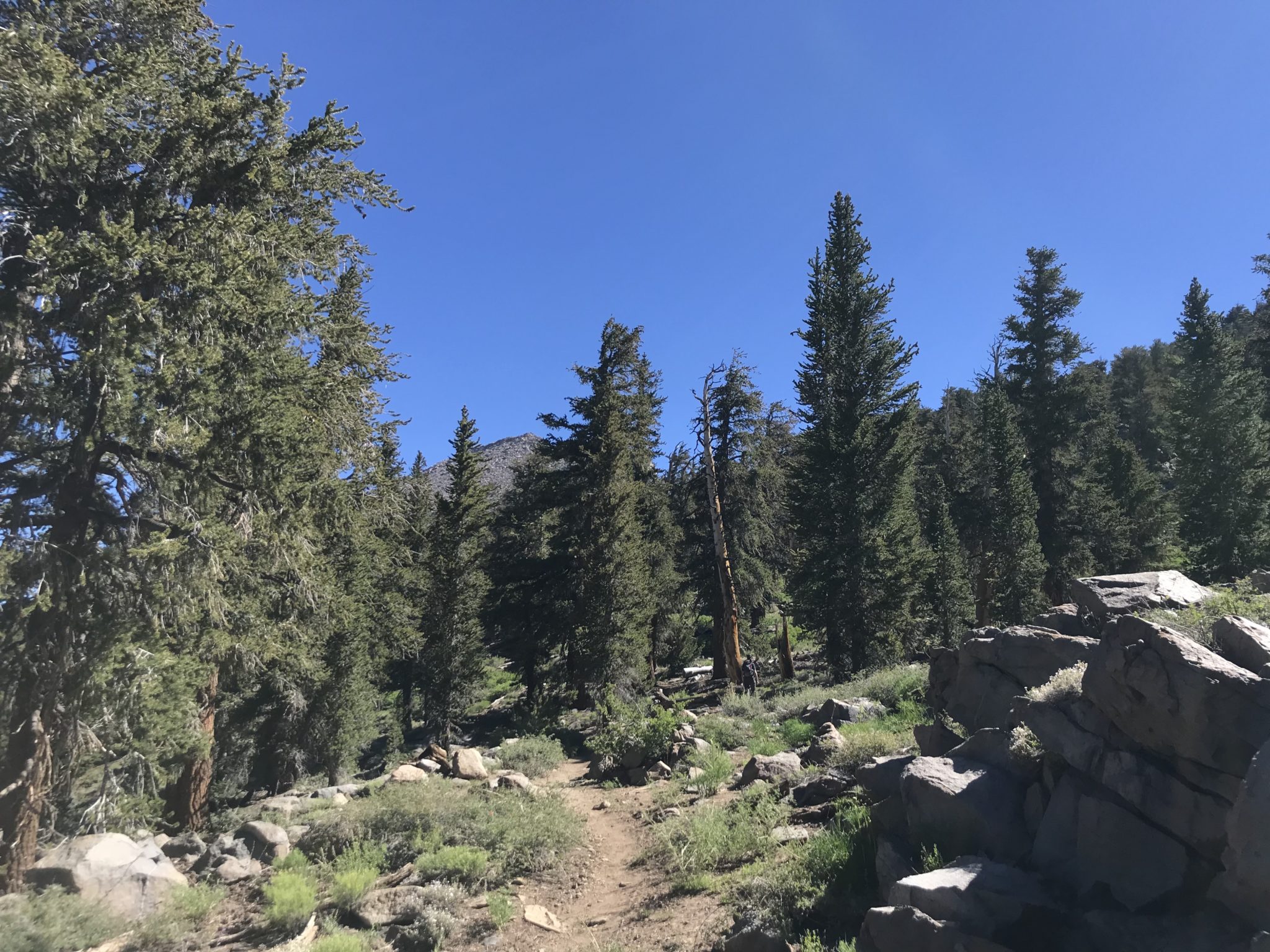
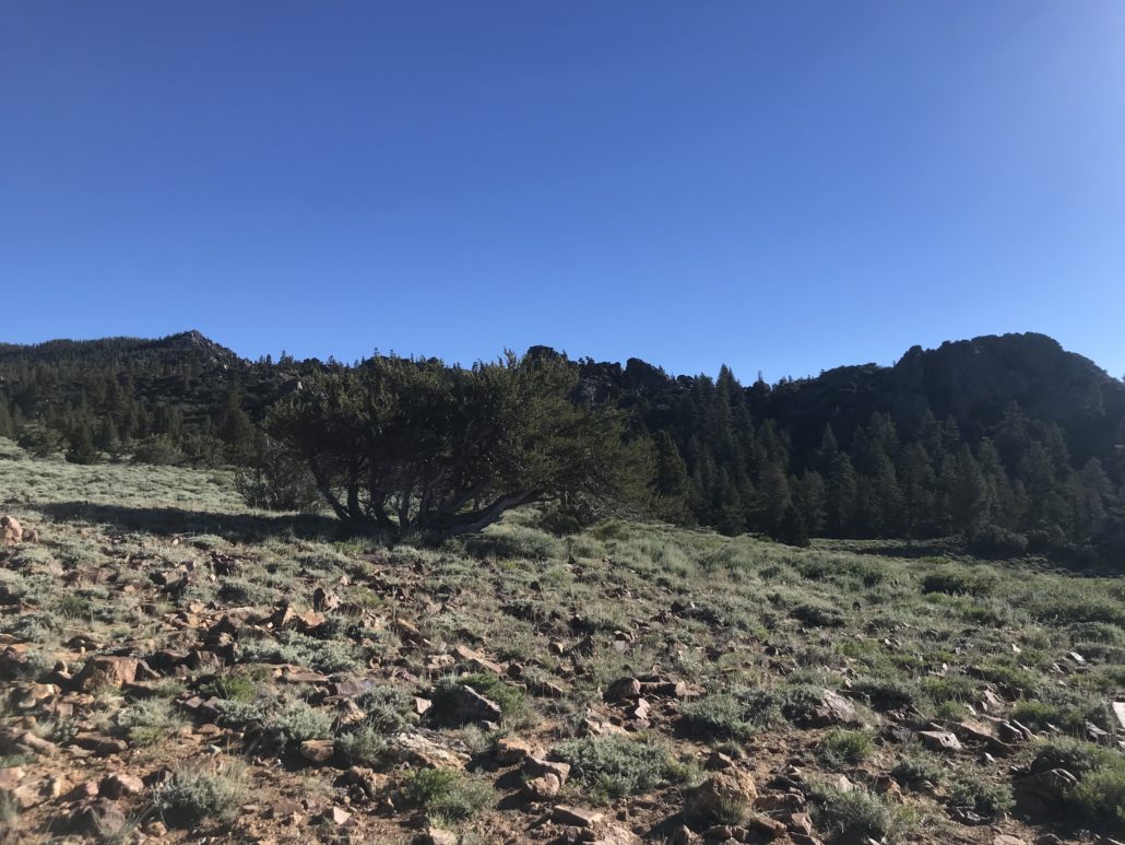
At the top of this ridge at about the 4 mile mark, we were met with views of the backcountry, including Round Mountain to the south. The trail winds uphill to the right, becoming even more sandy. This is where I dumped out my shoes for the first time.
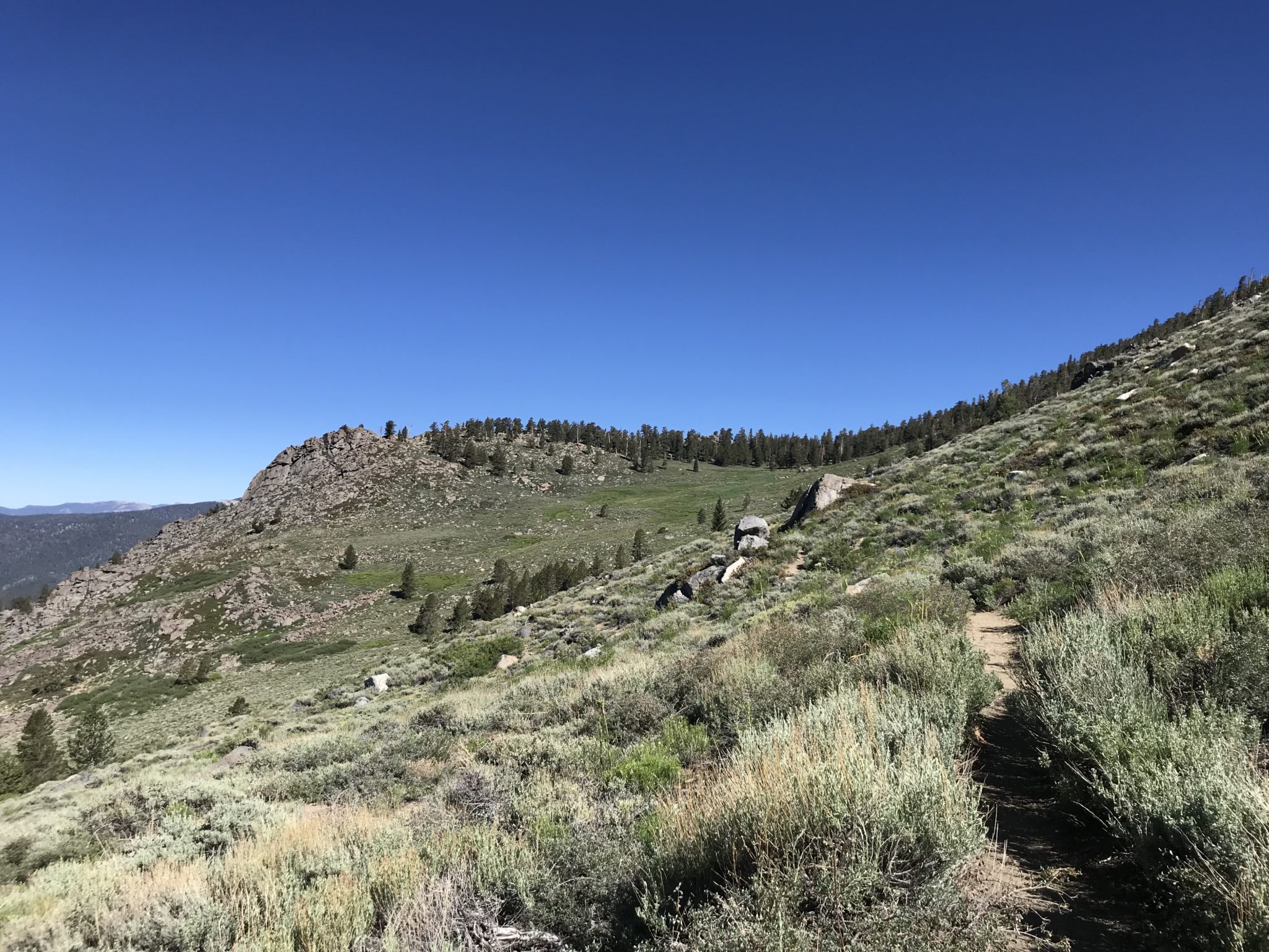
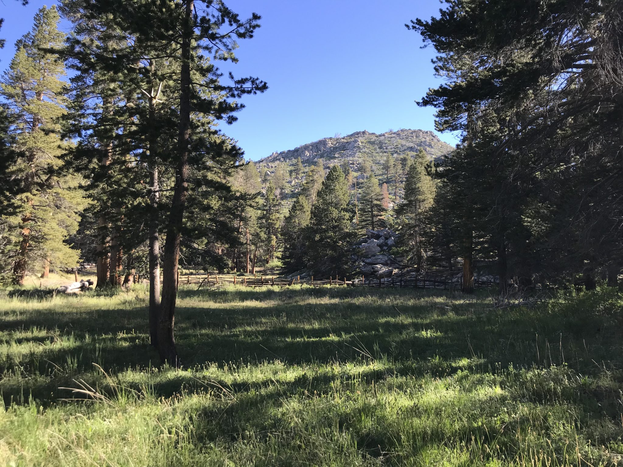
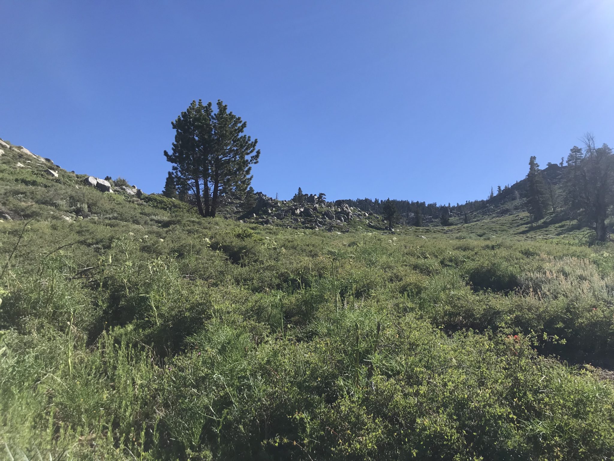
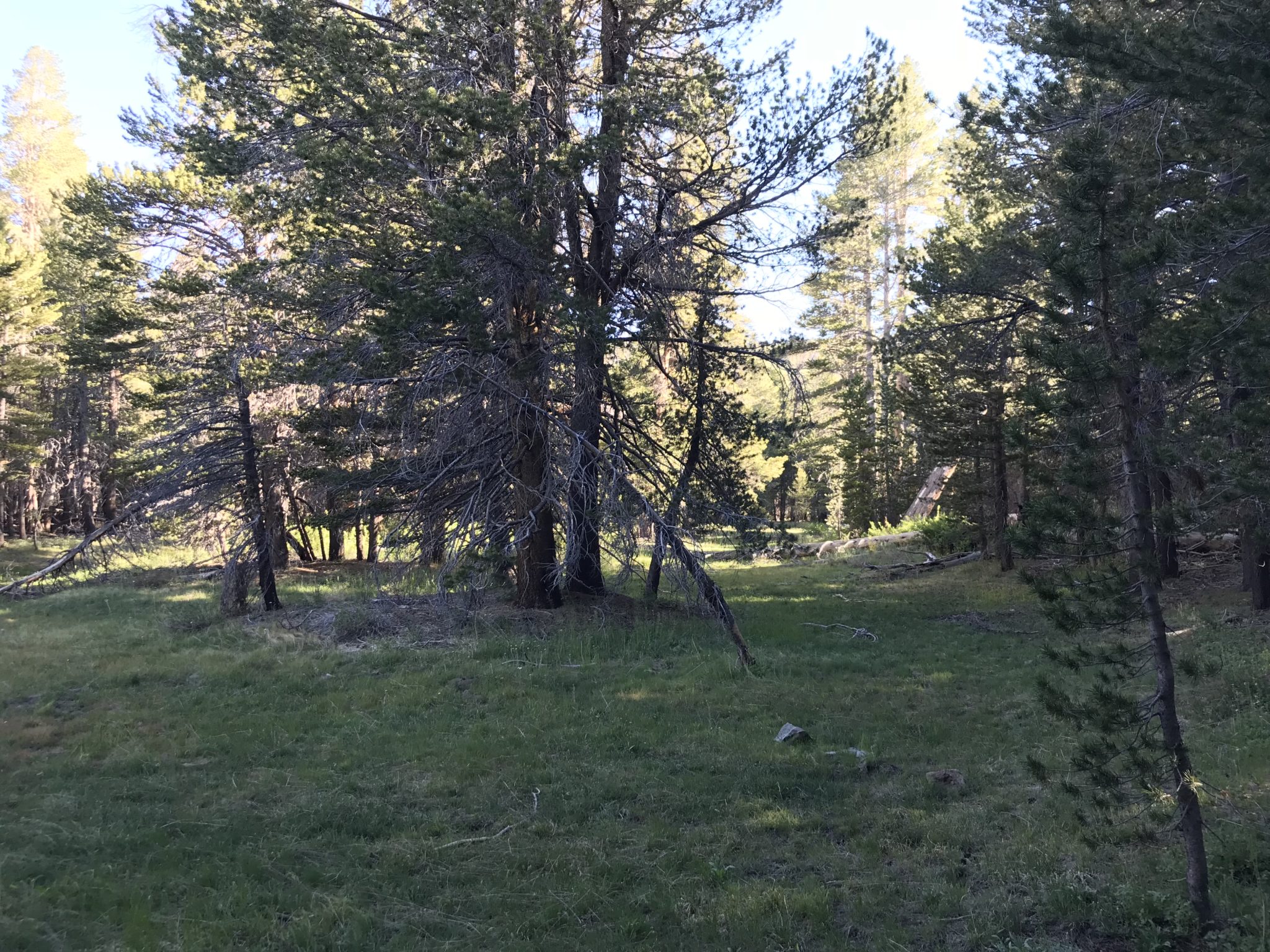
Within the next mile, the trail climbs toward a meadow and crosses over a creek on the way. (This was dry at the time.) This is one of those meadows where you expect to see Julie Andrews singing the “Sound of Music.” It’s likely to have deer near its pine-forested borders.
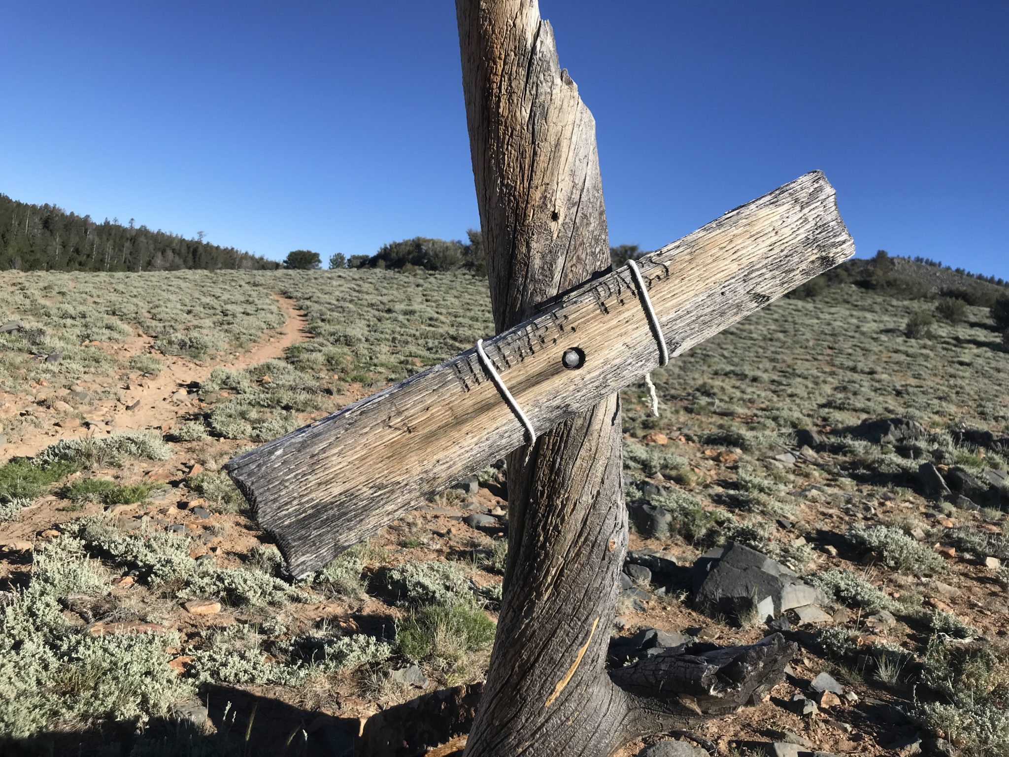
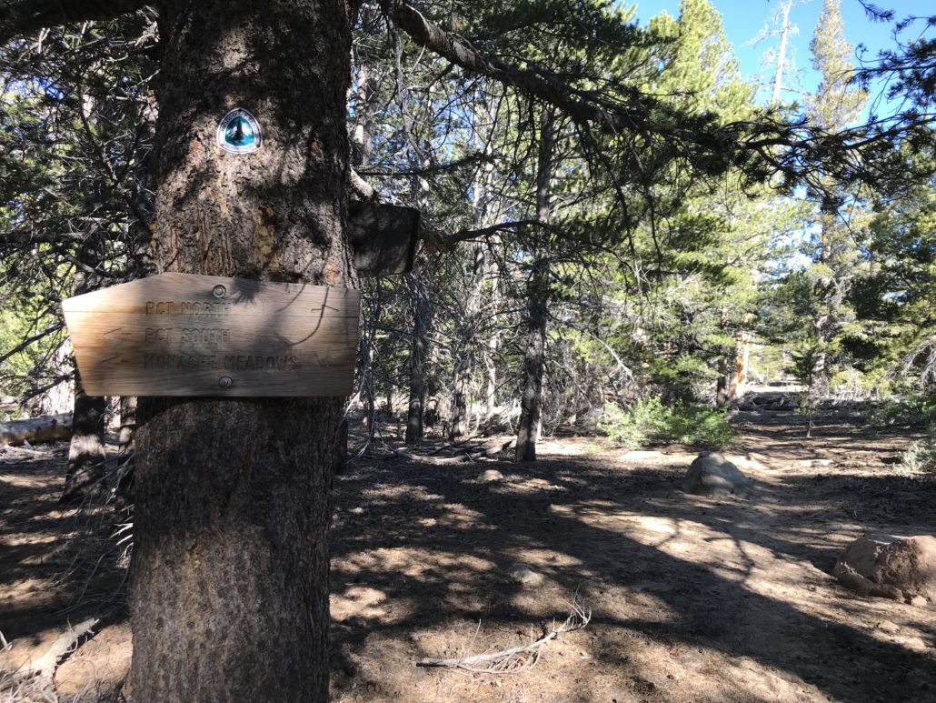
A sign near the top of this meadow points the way to Haiwee Pass. Turn right at the sign to reach the PCT.

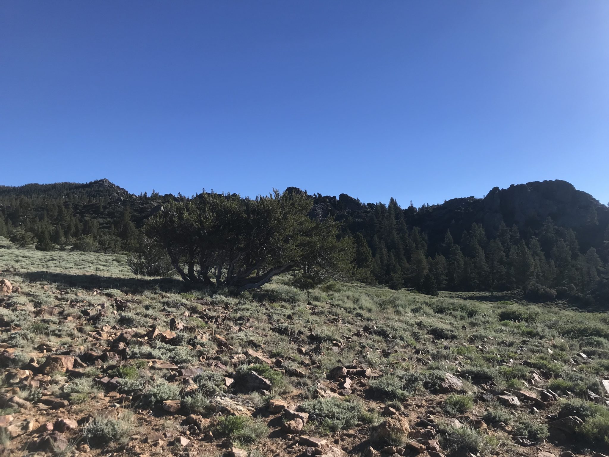
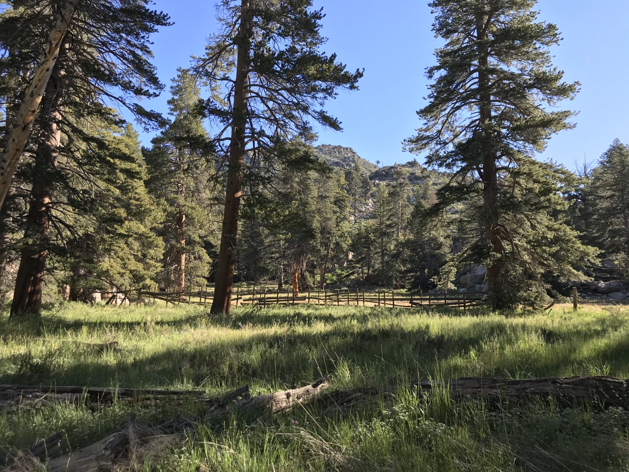
We followed the trail into the woods, eventually encountering a horse corral. The corral was empty at the time, but it’s hard to imagine a more peaceful area for a horse to graze.

At 6.5 miles, we reached the PCT! Travel north toward Olancha Peak.
We traveled this section of the PCT at the end of June – a time when the hills were filled with beautiful wildflowers and PCT thru-hikers making their way north. We passed about 15 hikers during the course of the day. During non-PCT migration times, you probably won’t encounter too many other folks up here.
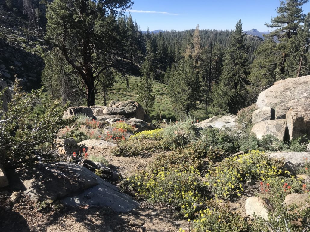
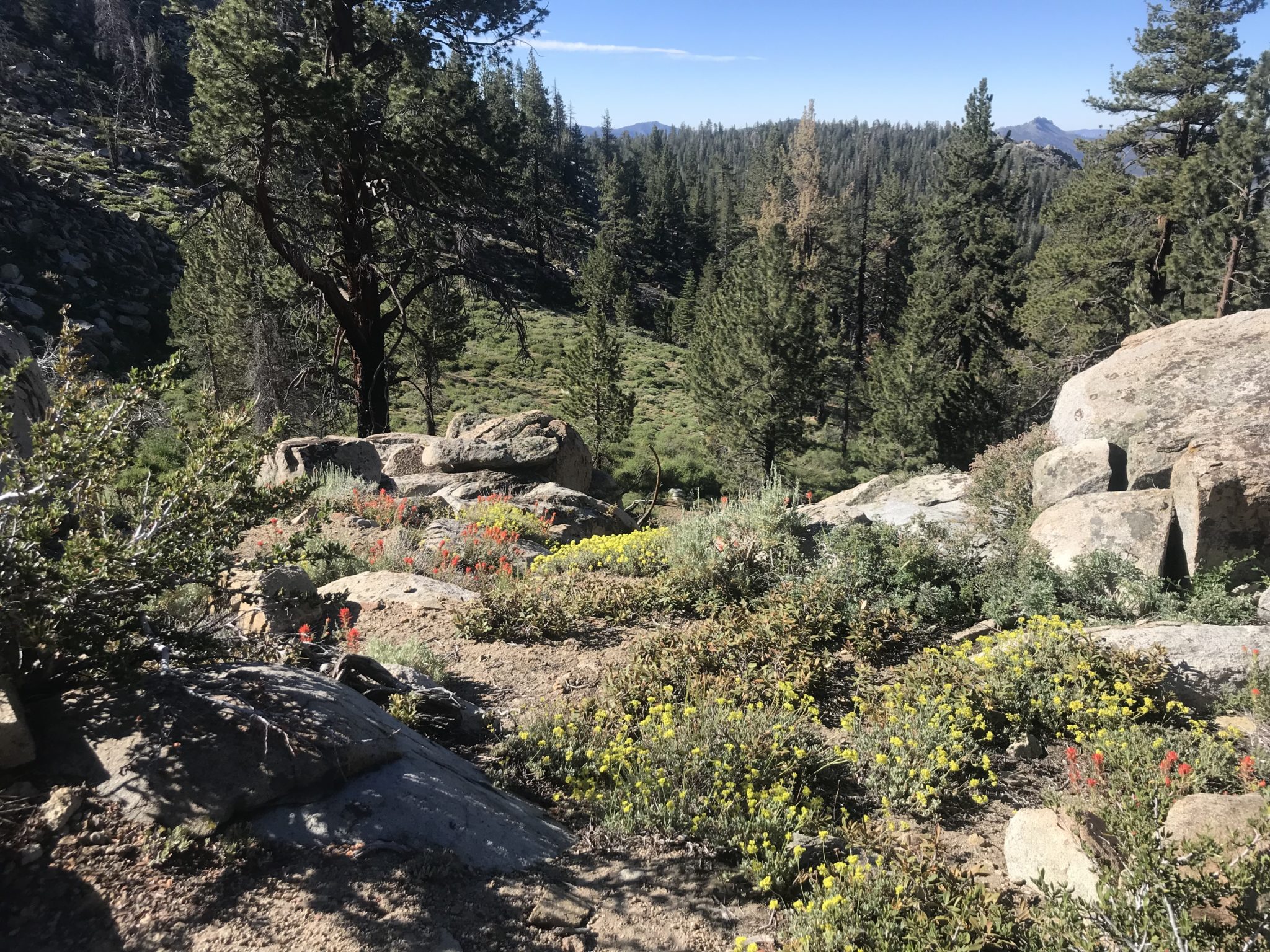
We continued along the PCT through the wildflower-covered meadows and started to slowly gain elevation.


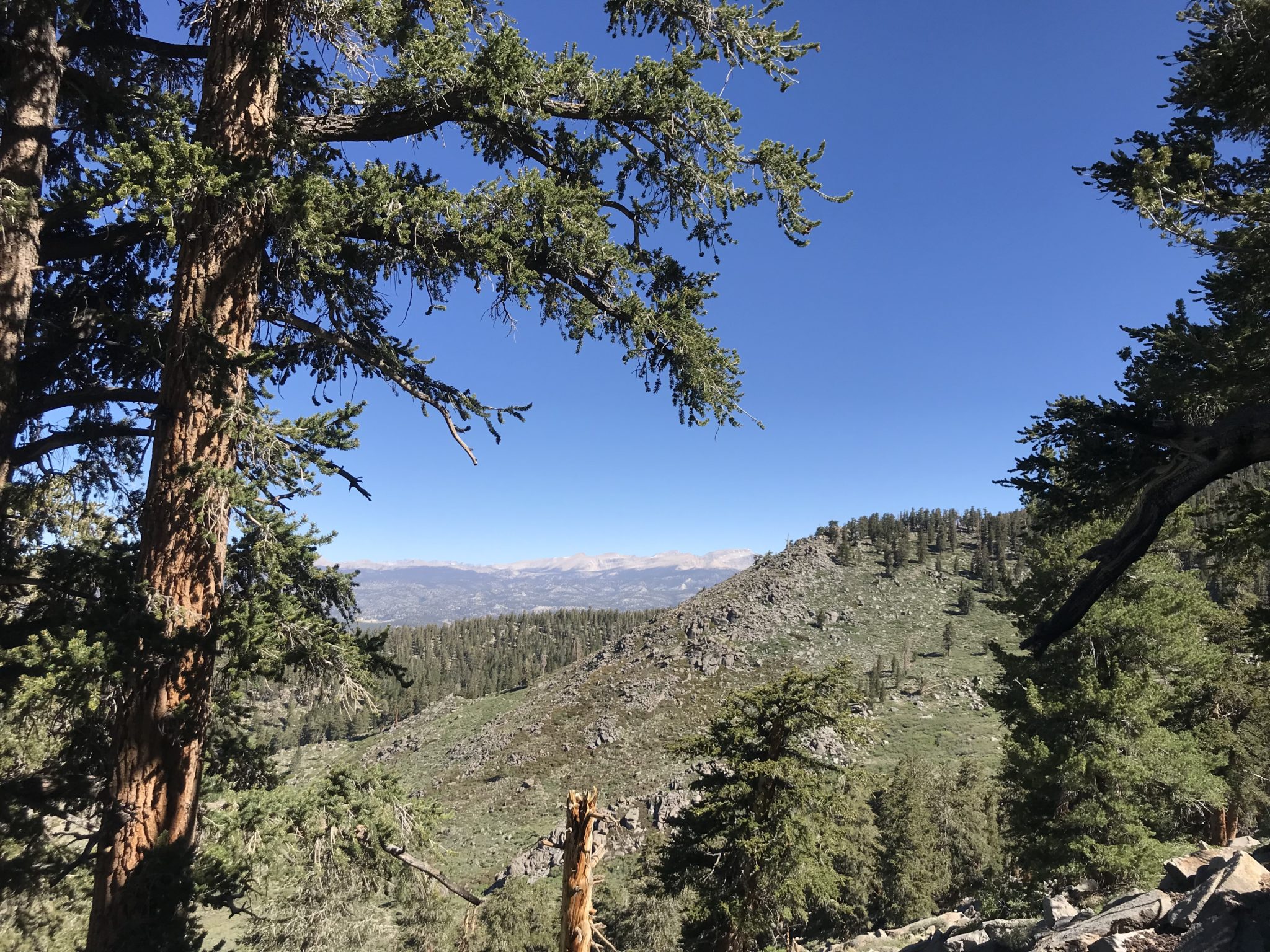
After crossing a meadow with a small stream, we entered an open area with expansive views to the north. We could see Mount Langley and Mount Whitney, and eventually Olancha Peak through the trees.
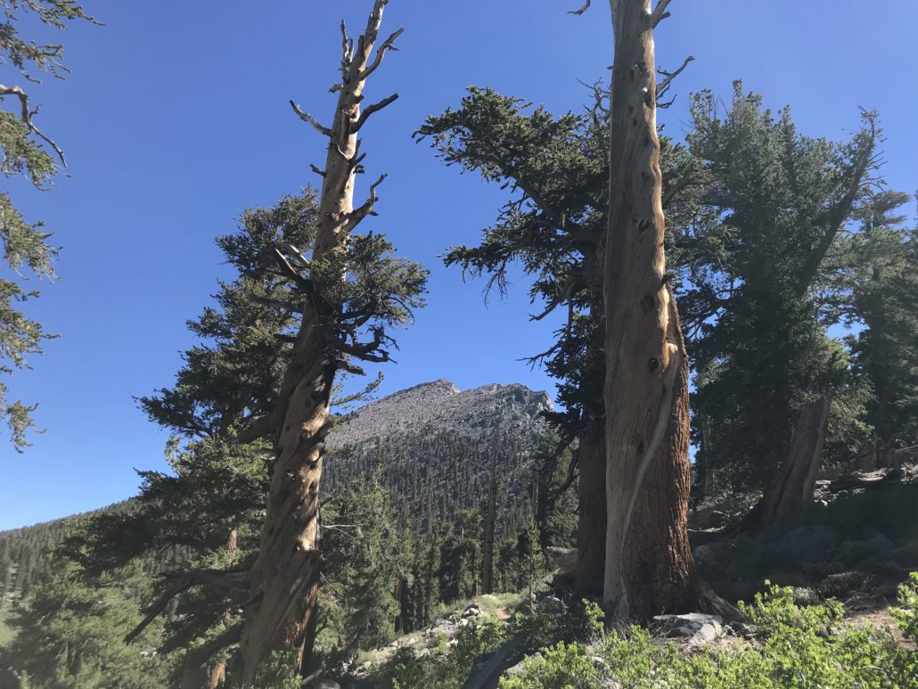
Olancha Peak
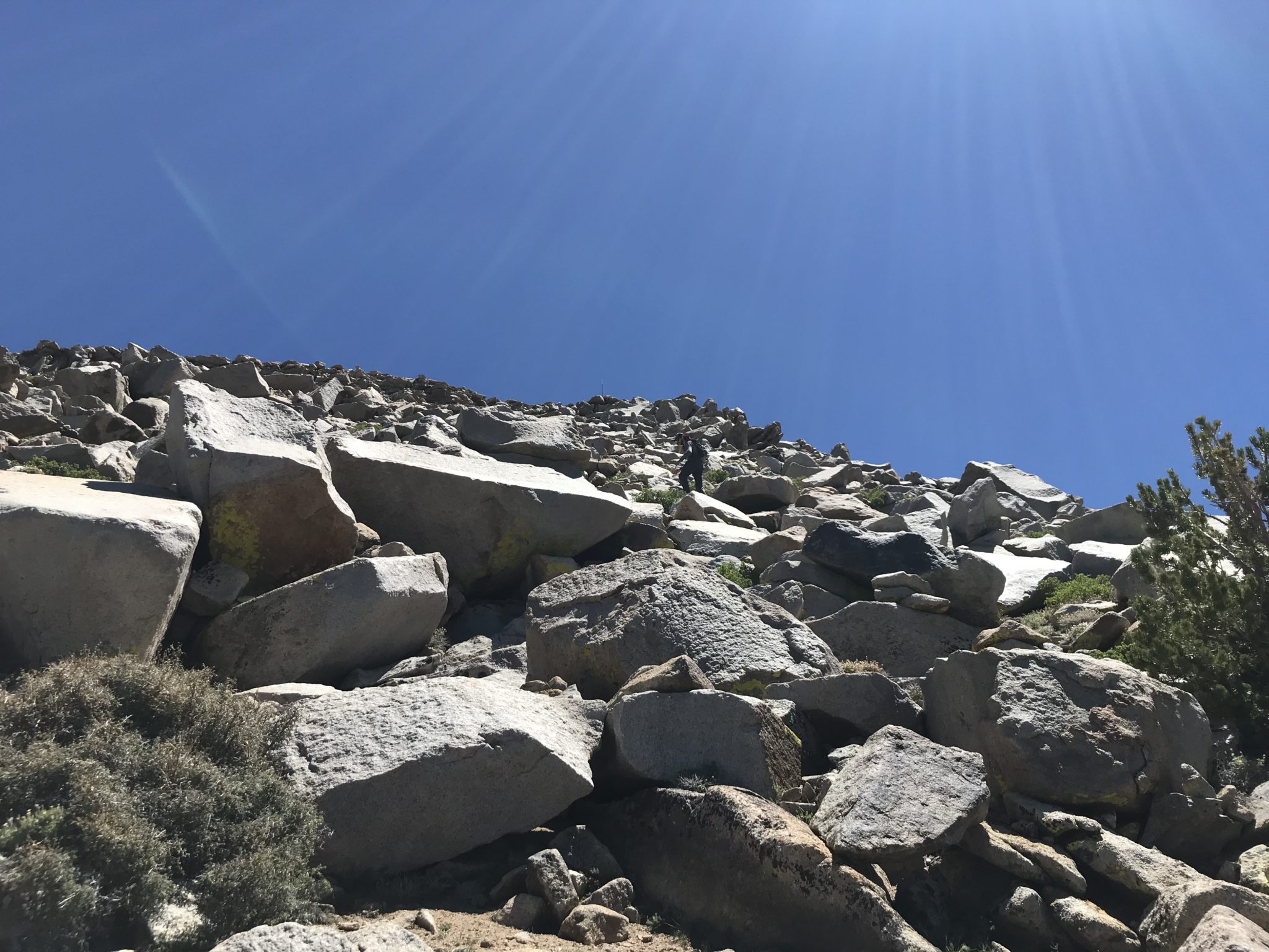
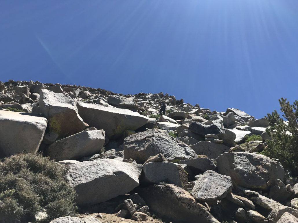
At 10.0 miles, we reached the base of Olancha Peak. Now, here is where I stopped the GPS track for this guide. In order to reach the peak, you must scramble off-trail through trees and up a boulder field for roughly 0.75 miles. There is no defined path. Climb this section only if you are comfortable on this terrain and have enough time left in the day to make the 10+ mile trip back to the trailhead (and the drive home)! Otherwise, turn around and head back the way you came.
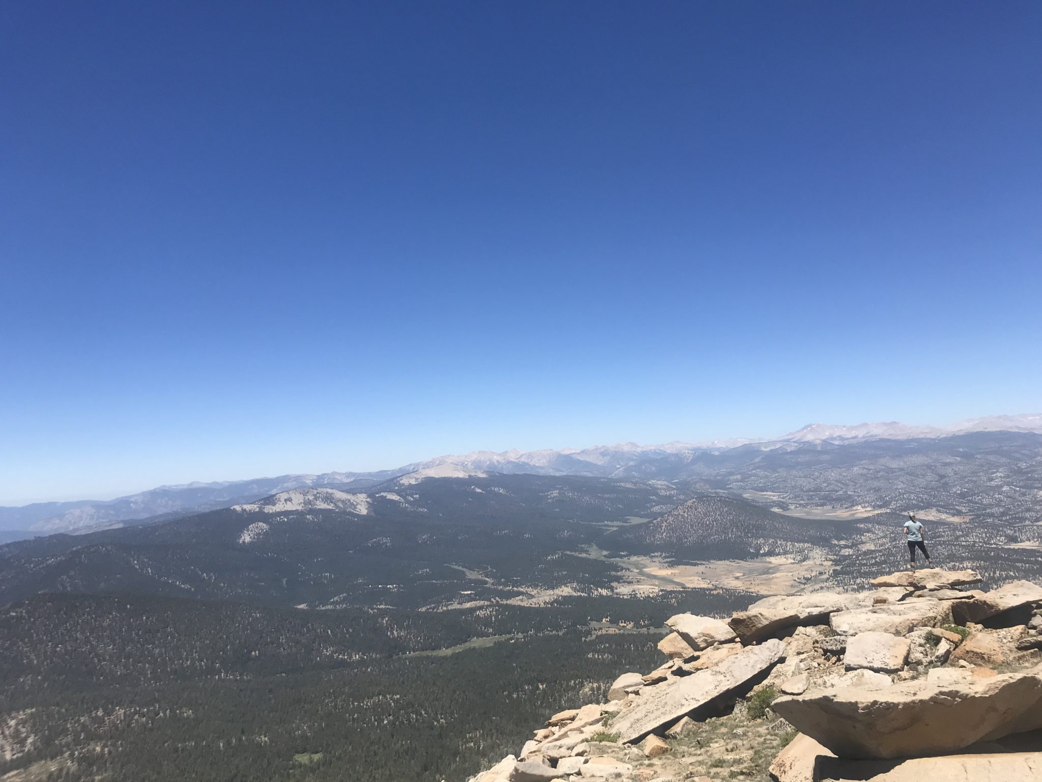
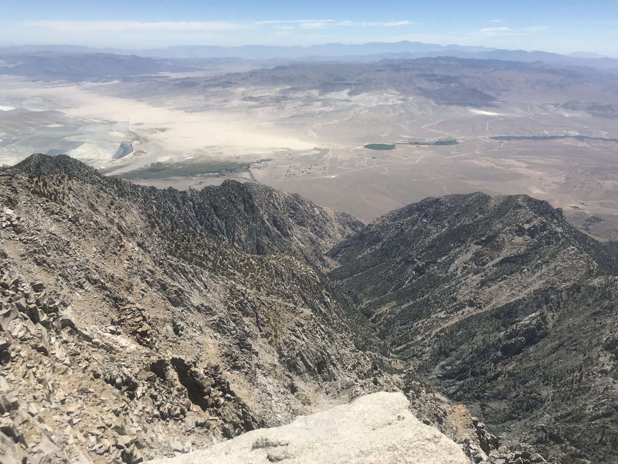
The views from the top of Olancha encompass a 360 degree view of Owens Valley, the town of Olancha, Mt. Whitney and Mt. Langley. The views are well worth the extra climb and 1-2 additional hours of hiking time.
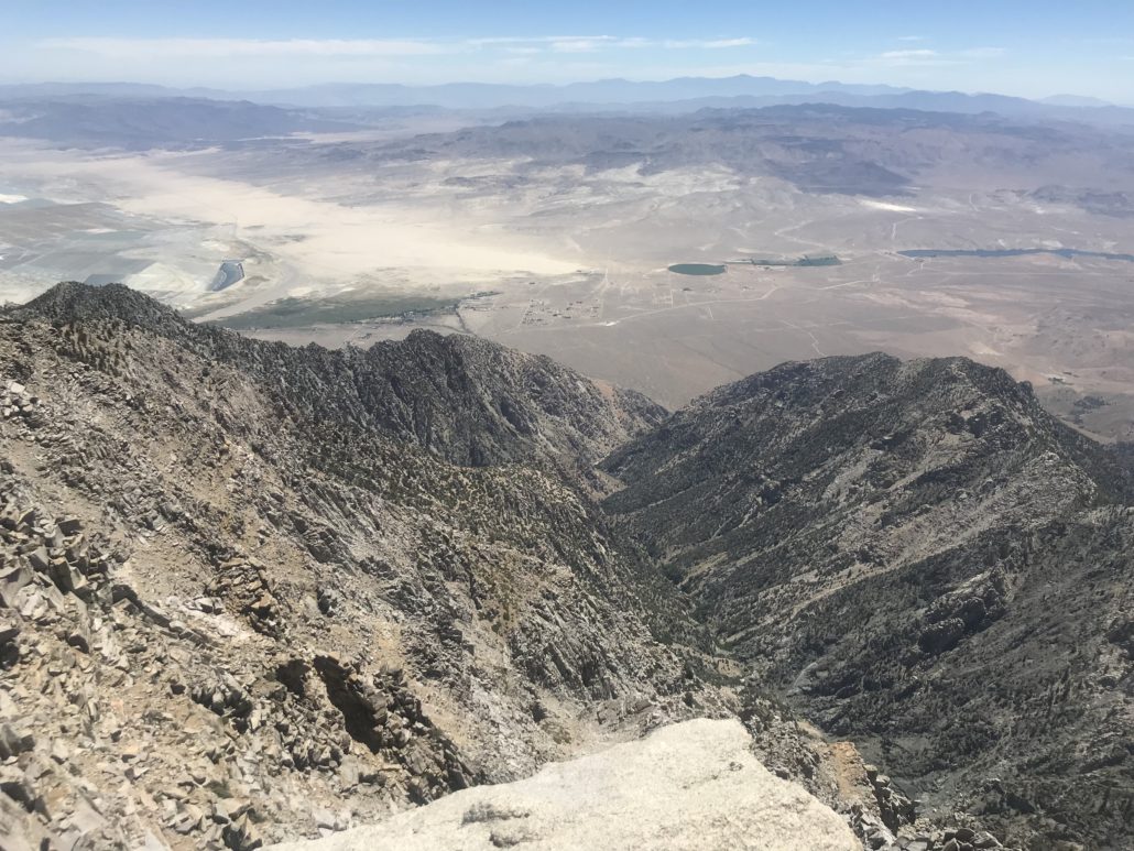
Views from Olancha toward Owens Valley
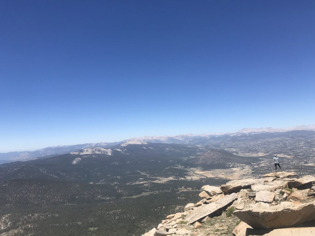
View north from Olancha Peak toward Mt. Whitney
Tags: Inyo National Forest, olancha peak, Pacific Crest Trail, PCT, southern sierras