Black Canyon of the Gunnison National Park is truly a sight to behold. Located in southwestern Colorado, this scar on the Earth’s crust gives you a glimpse of some of the most ancient rocks in the continent. Two million years of erosion and weathering by the Gunnison River exposed the canyon walls, which feature brightly colored bands of mostly igneous and metamorphic rock squeezed between the blacker schist and gneiss (hence the park’s name). Due to the precipitous nature of the landscape, trails are few and hard to come by. However, the 1.5-mile Oak Flat Loop Trail gives visitors an up close and personal experience with this wonder of nature and may be your best choice if you’re looking to get an idea what this park is all about but don’t want to do a more strenuous hike down to the river itself.
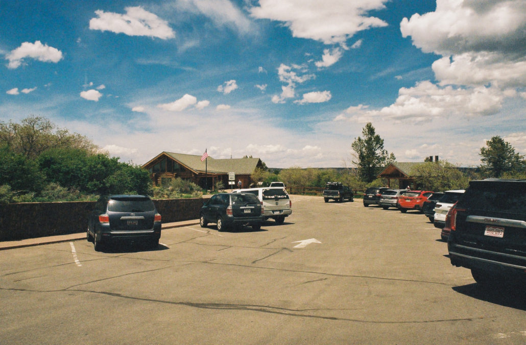
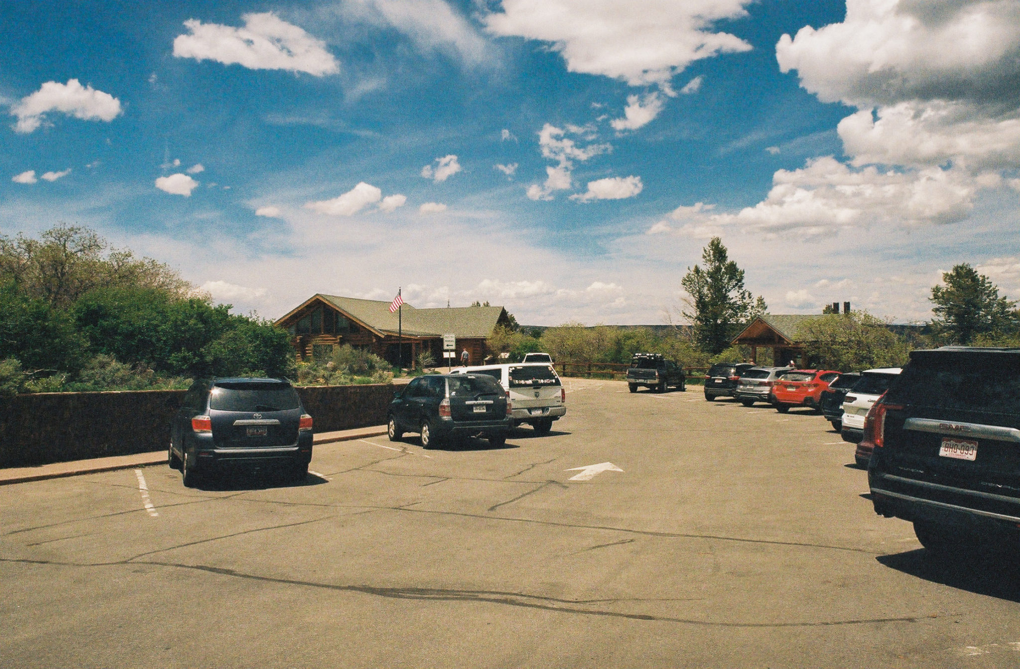
The South Rim Visitor Center and parking lot. Shot on Kodak Gold 200 film.
The trailhead starts at the steps of the South Rim Visitor Center, so parking is bountiful. There are also vault toilets, trash cans, and water fountains for you to use (note that from fall through mid-spring, drinking water is not available inside the park). After briefly walking through the visitor center and learning about the geology of the canyon, we headed out on our hike.
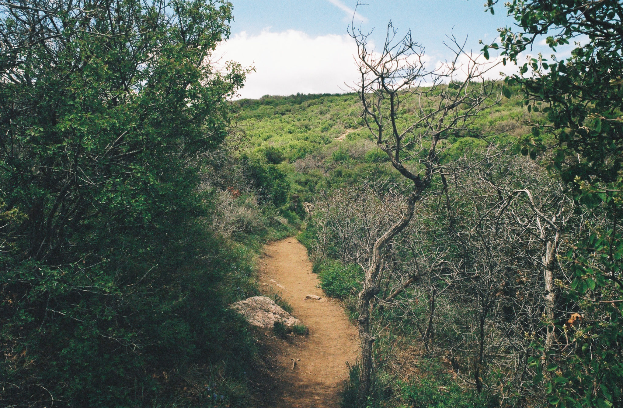
Just a few feet into your trek, you’ll reach your first junction. Head right to take a short 0.1-mile detour to Gunnison Point Overlook; otherwise turn left to continue along the main trail. Don’t worry about skipping this viewpoint, as you’ll have plenty of opportunities to soak in this striking canyon along your hike (and with fewer crowds, too).

Head left to stay on the Oak Flat Loop trail. Shot on Kodak Gold 200 film.
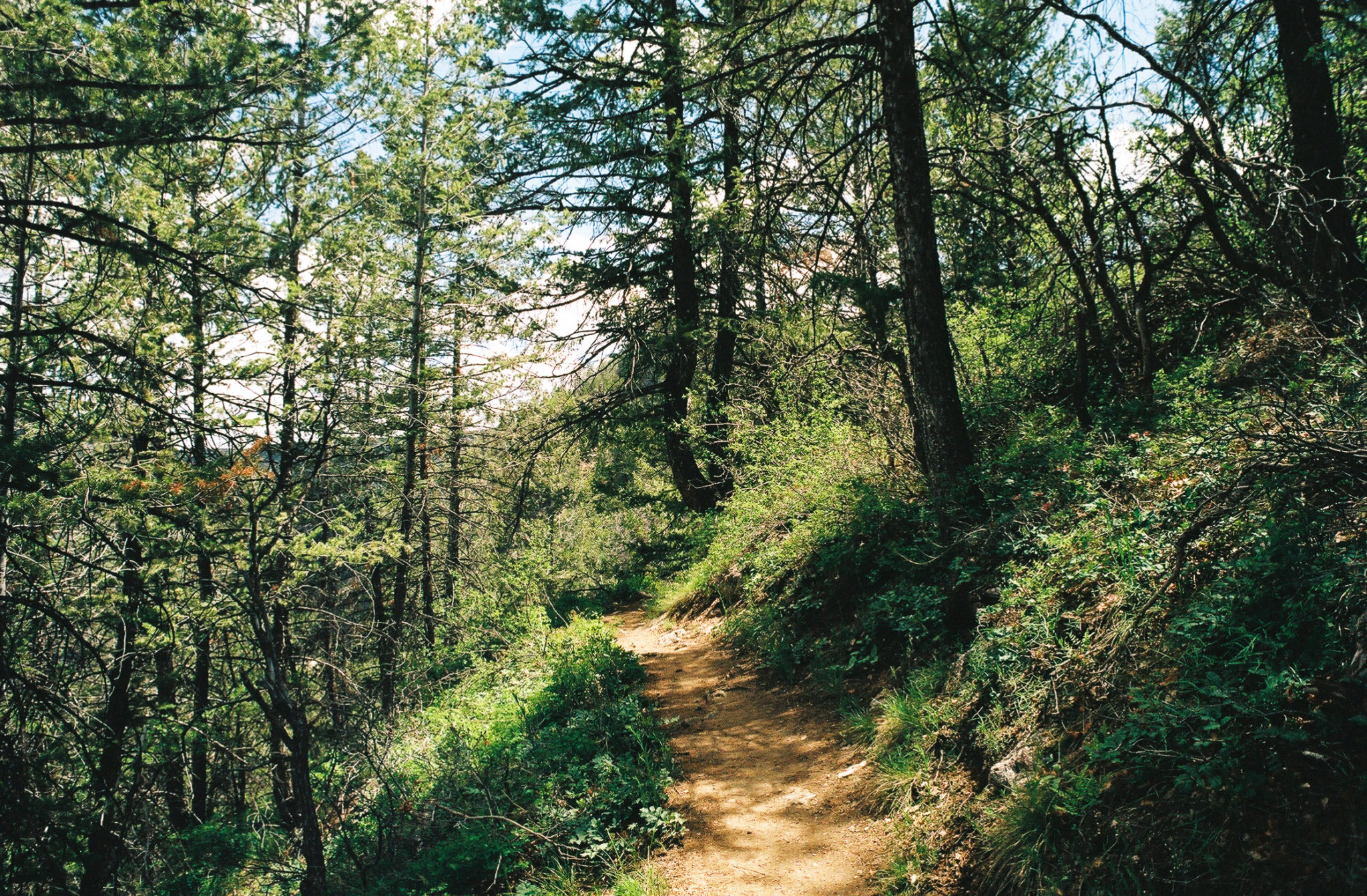
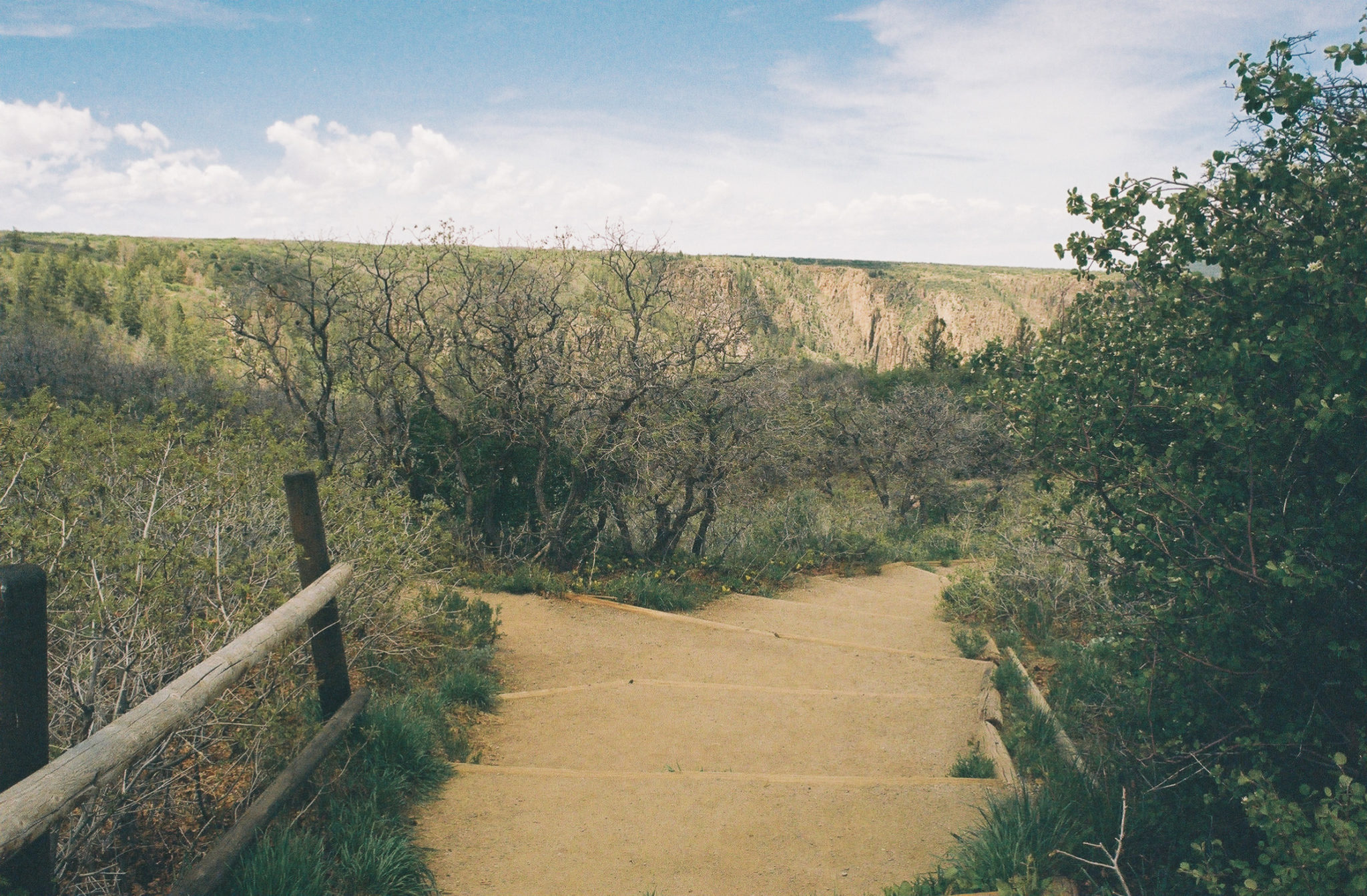
The beginning of the loop starts at 0.15 miles. Since this is a reverse hike, you’ll first venture below the rim before climbing your way back to the top. We opted to head in the counterclockwise direction to tackle the shorter and steeper section on our descent. Luckily, volunteers from the Student Conservation Association who built the trail created a pseudo-staircase out of large rocks to help you navigate through the more precipitous moments. We felt safe the whole way down.
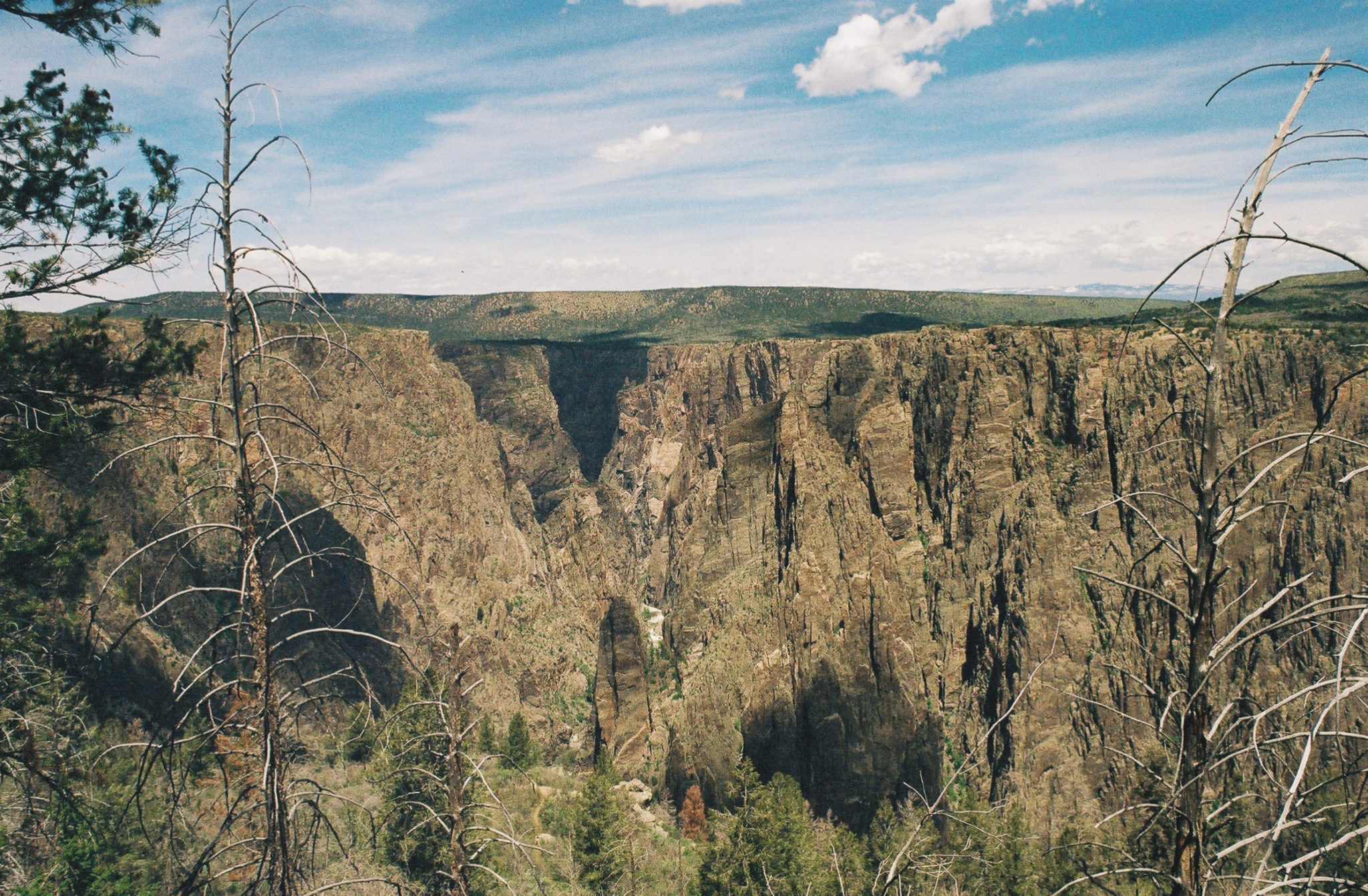
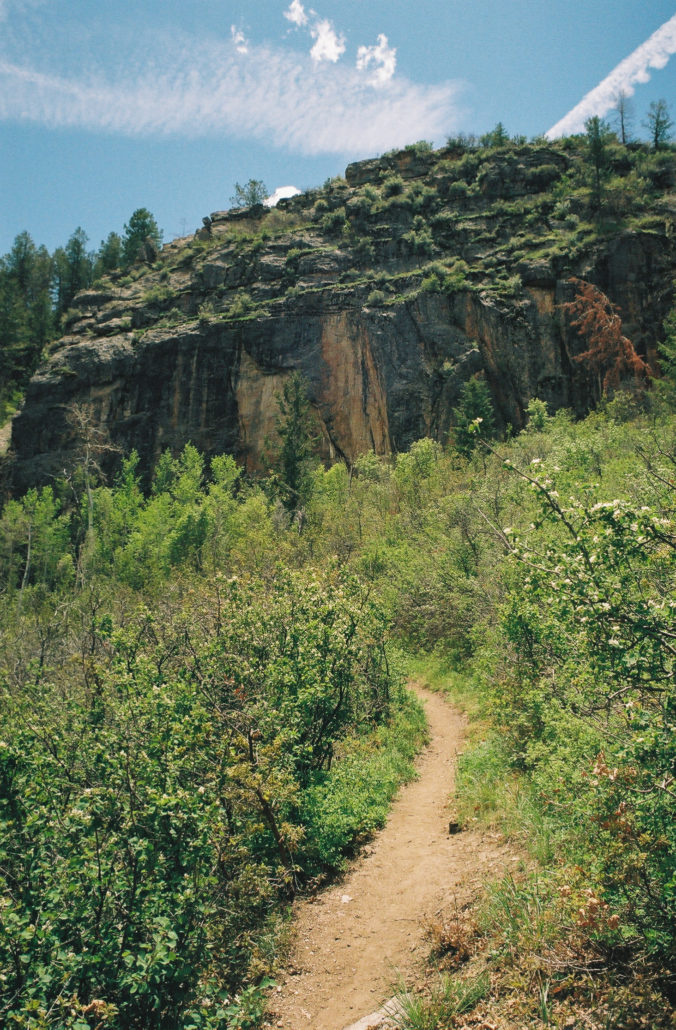
As you work your way below the rim, views of the canyon become more and more prominent, revealing just how magnificent this natural wonder is. The sharp, almost perpendicular angle at which the Gunnison River carved this narrow gorge into the surface of the Earth is truly incredible. And with its savage and distinctively dark spires and crags, it feels as though you’re peering into the underworld.

As you hike, you’ll be able to see all the way down to the Gunnison River. Shot on Kodak Gold 200 film.

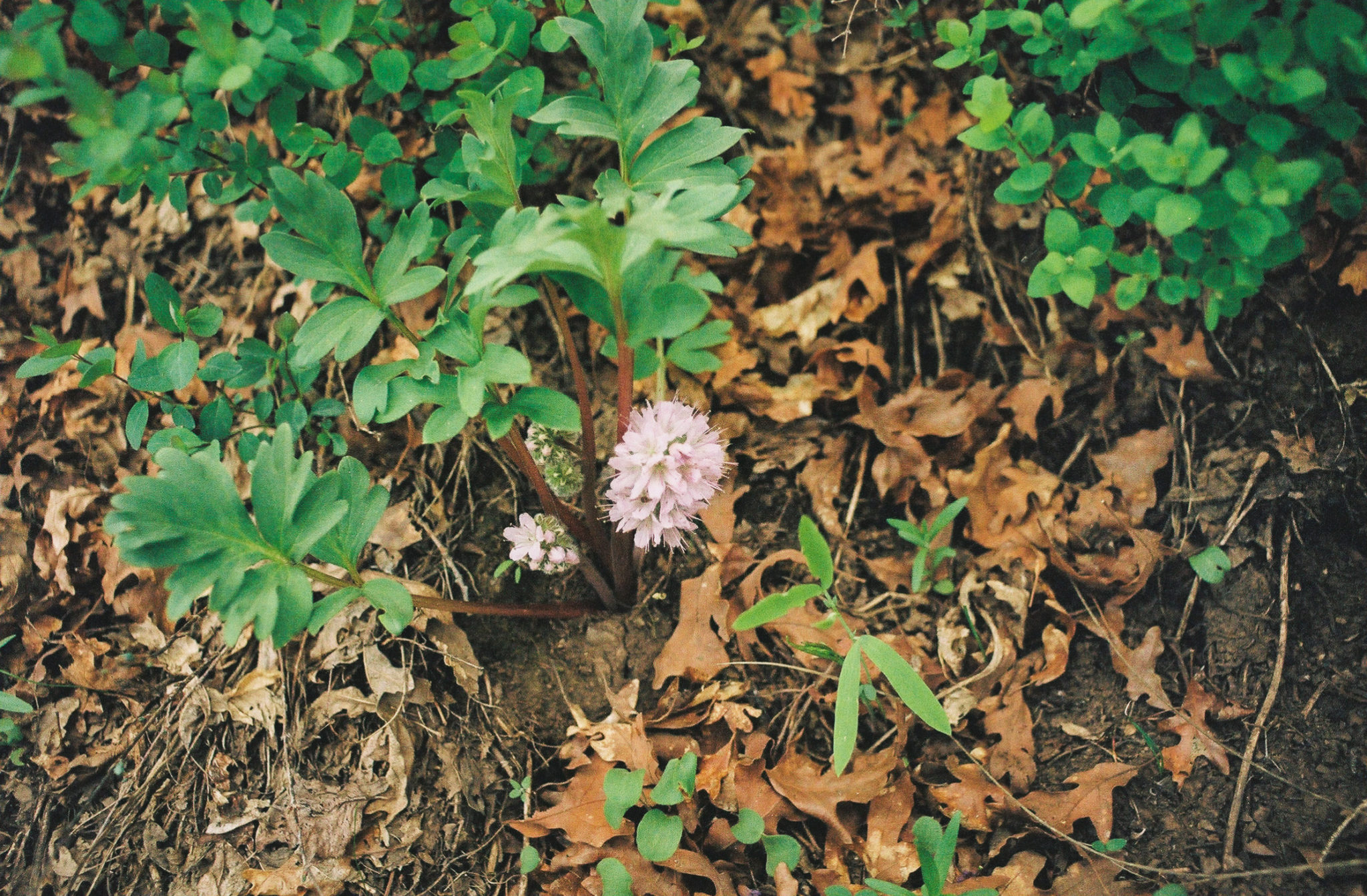
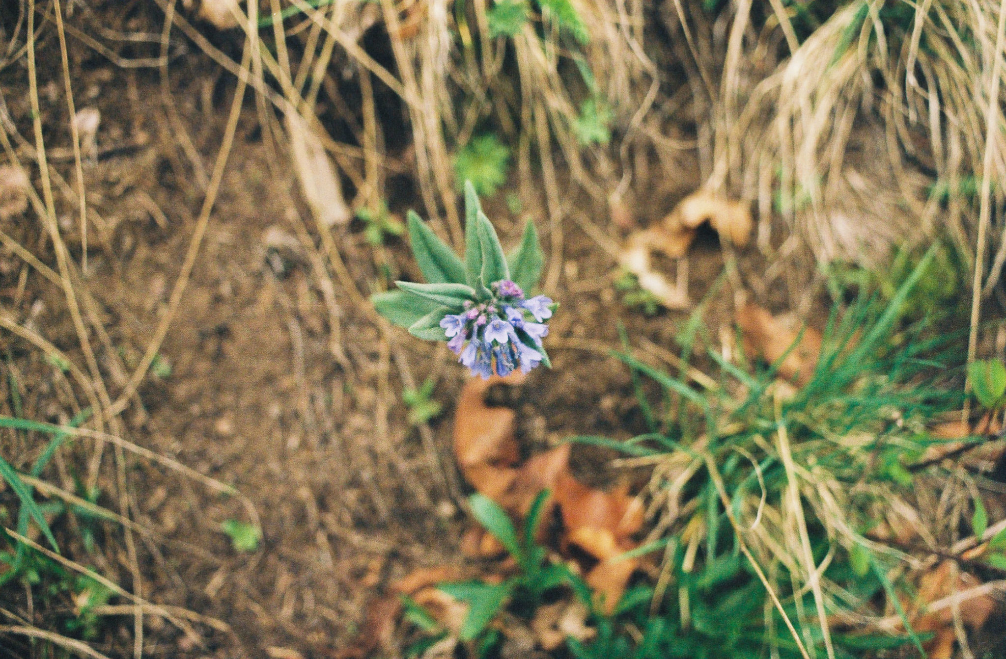
Sagebrush bluebell. Shot on Kodak Gold 200 film.
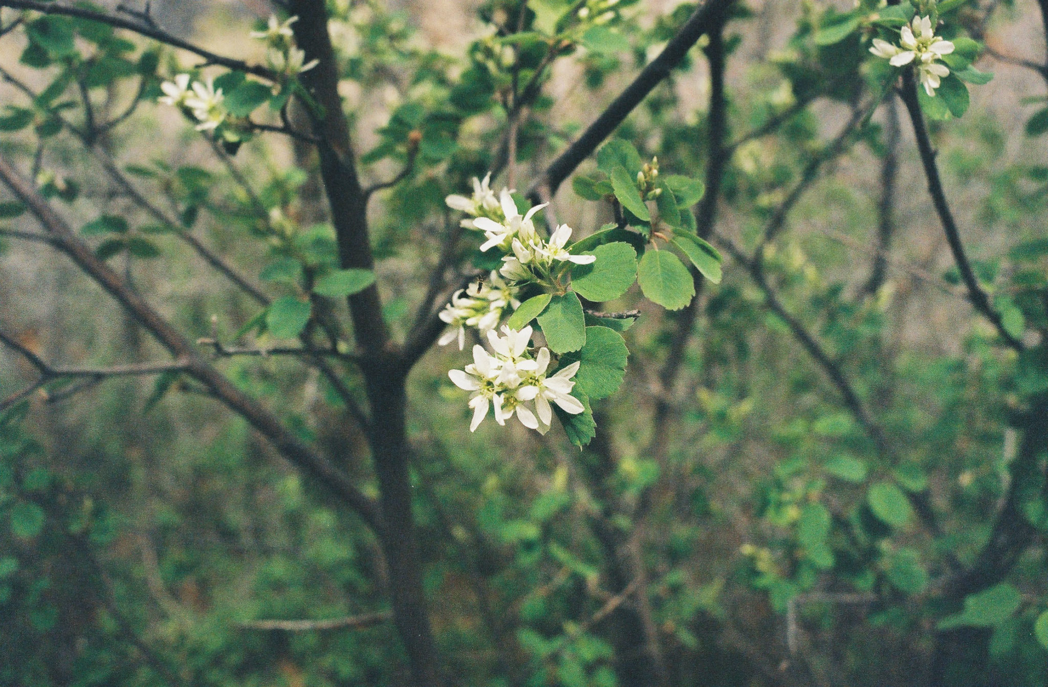
While it’s tempting to give all your attention to the canyon, be sure to also soak in the little miracles around you. We noticed a kaleidoscope of flowers blooming around us, including Sagebrush bluebell, Ballhead waterleaf, and Utah serviceberry. On a slightly larger scale stood evergreen pines greeting the oak and aspen trees, which were waking from their winter slumber.

Ballhead waterleaf. Shot on Kodak Gold 200 film.

Utah serviceberry. Shot on Kodak Gold 200 film.
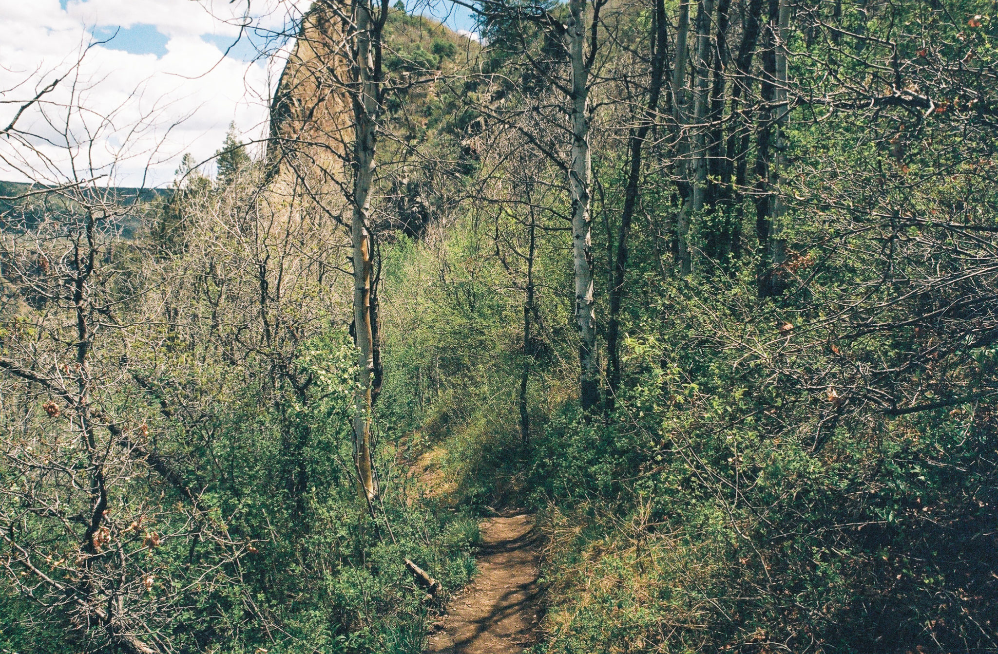
At 0.3 miles, you’ll reach the start of the Gunnison Route Trail, which takes you down to the bottom of the canyon and requires a permit to hike. Head left to stay on the Oak Flat Loop Trail. Then, 0.2 miles later, you’ll reach the lowest point of your hike. After a quick rest to take in the view, we began our ascent back to the visitor center.
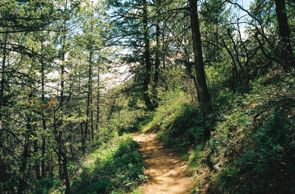
The uphill slope is much more gradual than on your hike down, and there are stairs at the steeper sections to help you along the way. It’s still important to watch your step, however, as there are several large drop-offs just to the right of the path.
On your hike back to the top, you’ll be able to see the canyon’s geology up close. Shot on Kodak Gold 200 film.
While we couldn’t see the canyon, we definitely could hear the river below. Shot on Kodak Gold 200 film.
Views of the canyon are a little harder to come by now. The Gunnison River’s mighty roar, however, is ever-present. At 0.8 miles, a cute wooden bench is available should you need a quick sit.

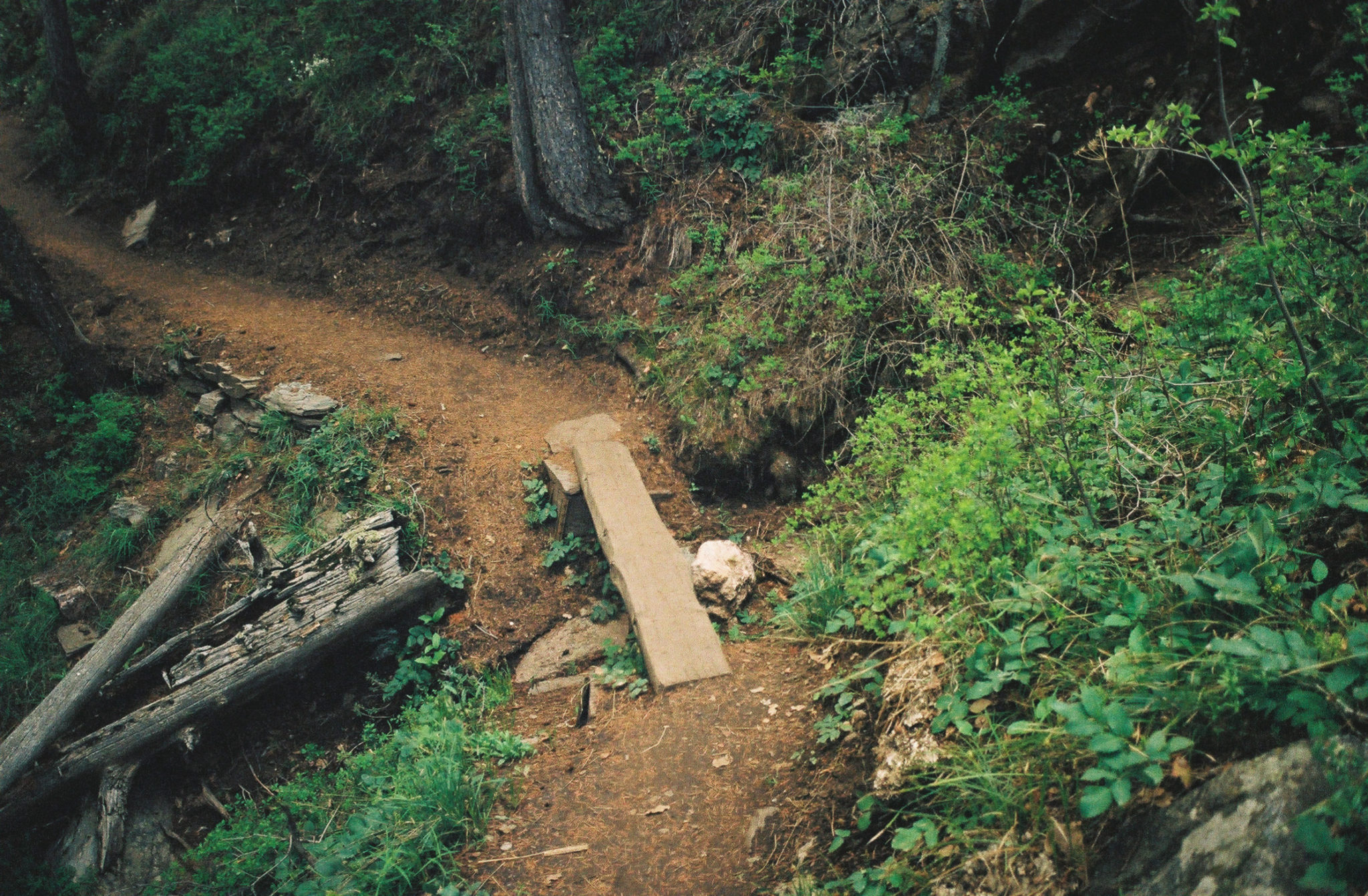
There were bridges to help us traverse past small gullies that washed out parts of the trail. Shot on Kodak Gold 200 film.
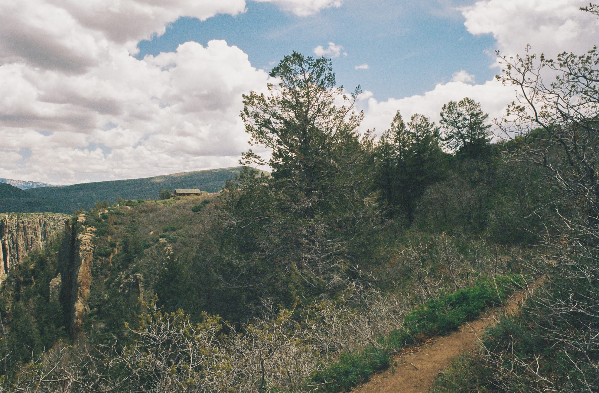
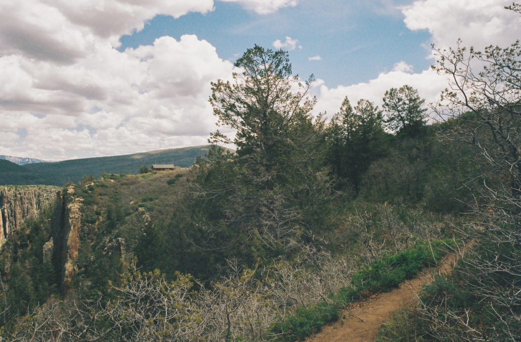
At 1 mile, the trail begins to flatten out. Venture 0.1 mile further and you’ll come upon a small lookout, giving you arguably the least obstructed and most expansive glimpse of the canyon on your entire hike. You’ll also be able to see the visitor center on the horizon.
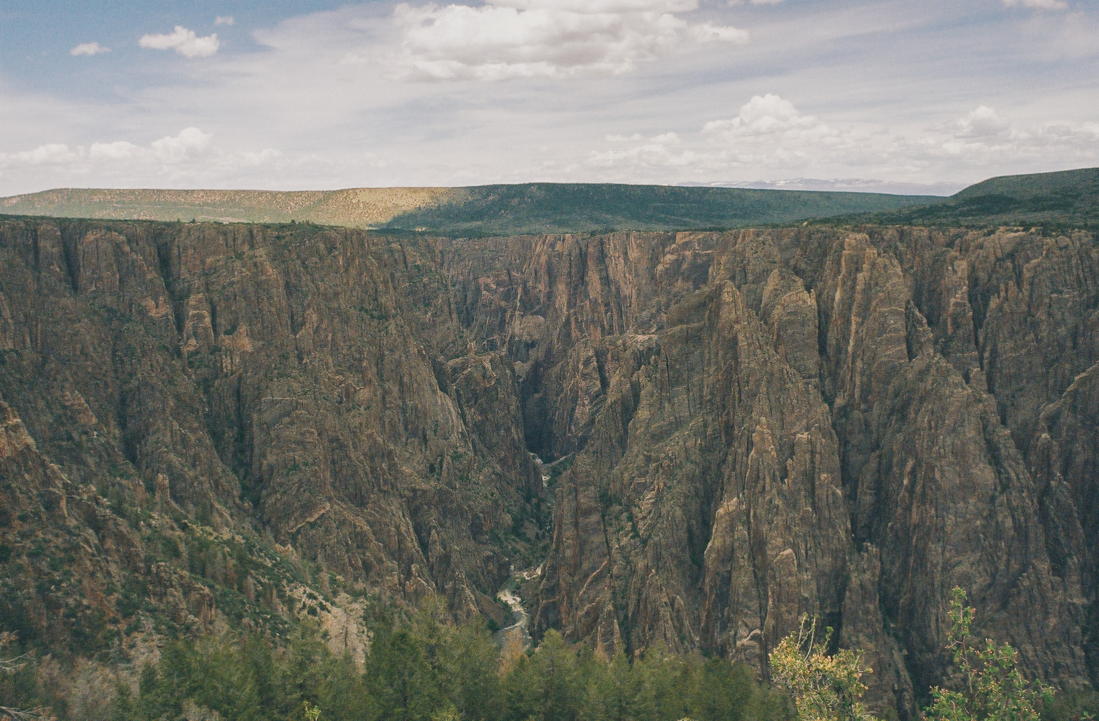
Black Canyon of the Gunnison in all its grandeur. Shot on Kodak Gold 200 film.
Continue for 0.4 miles, soaking in your last few moments on the Oak Flat Loop Trail before returning to the trailhead and completing your hike.
Spotting the visitor center signals that your hike is coming to a close. Shot on Kodak Gold 200 film.
Tags: Black Canyon of the Gunnison, canyon, Colorado, national park, rivers