Natural Bridges is a family-favorite state beach in western Santa Cruz with a sheltered pocket beach, a wave-shaped mudstone arch, and astonishing wildlife. This easy, 2-mile hike visits the Monarch Butterfly Natural Preserve inside the park and tide pools with anemones, crabs, and sea stars. Fall and winter are excellent times to visit: The monarchs have arrived and low tides—good for tide pooling—occur in the afternoon, making it easy to combine the two wildlife-watching experiences.

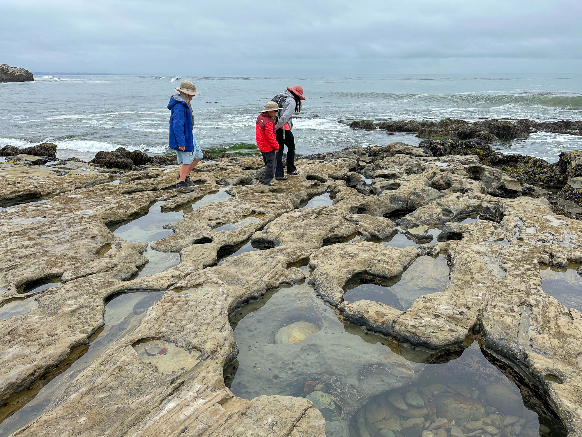
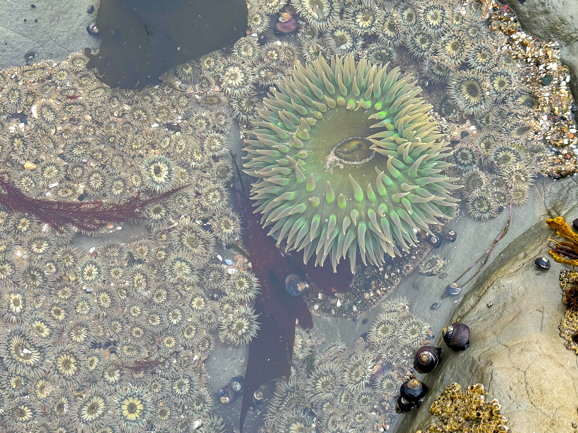
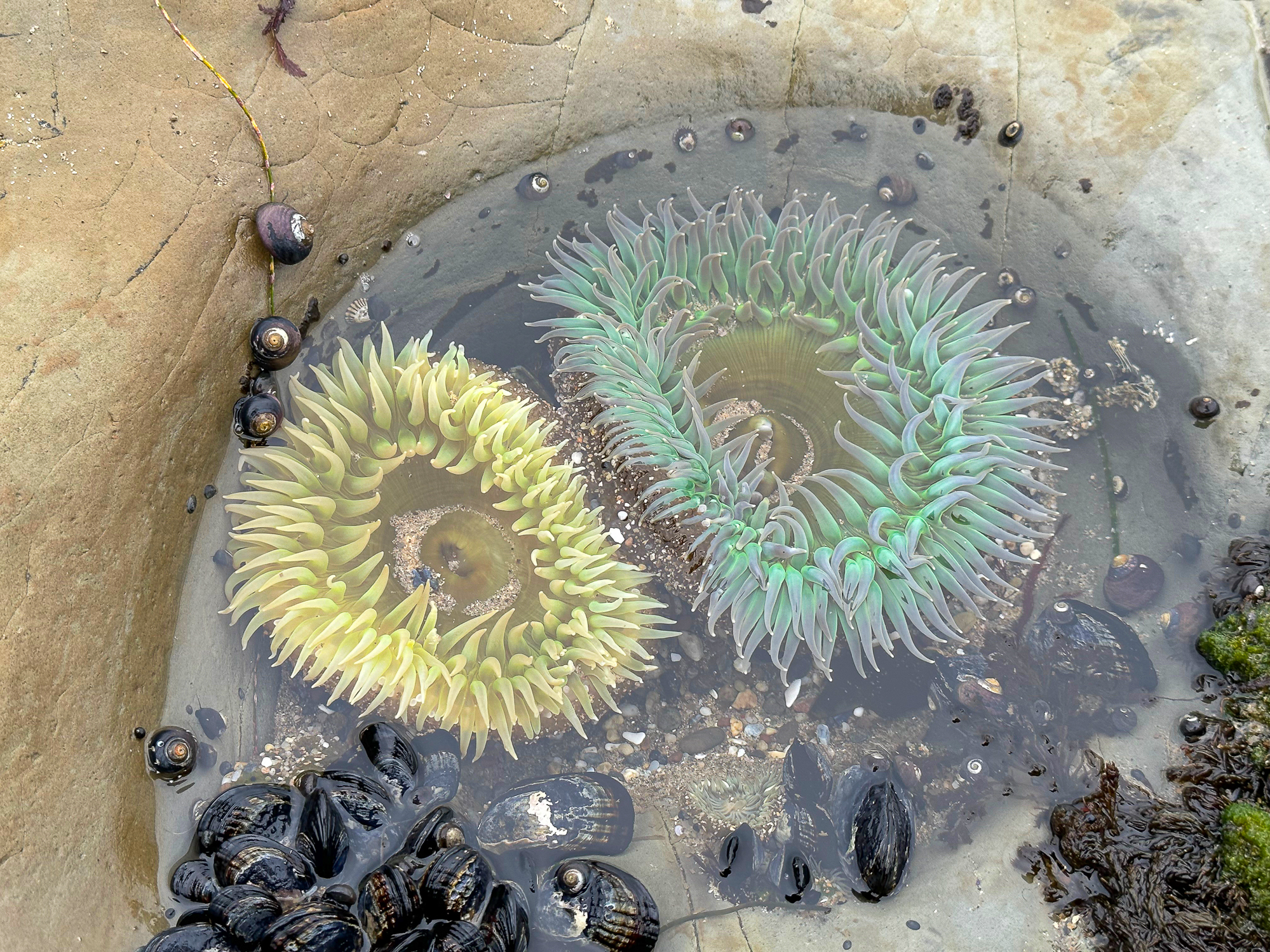
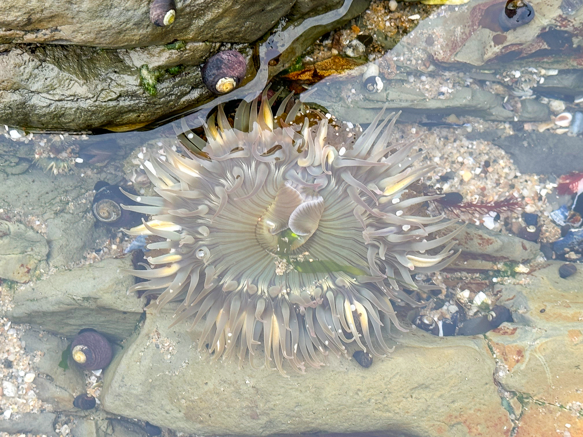
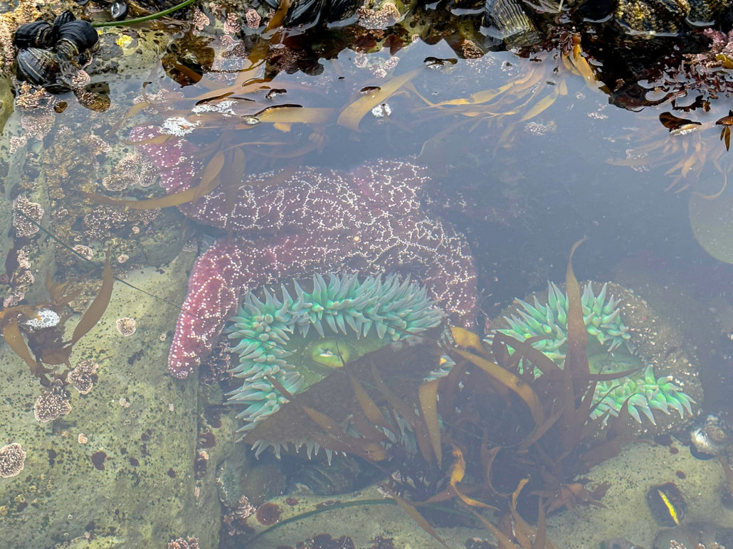
A group of anemones in a tide pool near the De Anza mobile home community
Hours and Seasonality
Natural Bridges is open from 8:00 a.m. to sunset. Dogs are allowed in the parking lots and picnic areas, but they are not allowed on the beach, trails, or in the butterfly preserve, with the exception of service dogs.
Monarch Butterflies generally arrive in mid-October and stay through mid-February. The best time to see them is generally late October through November. When temperatures climb above 60 degrees, the butterflies become active and flutter around. Below 60 degrees, they cluster together like leaves high up in the eucalyptus trees.

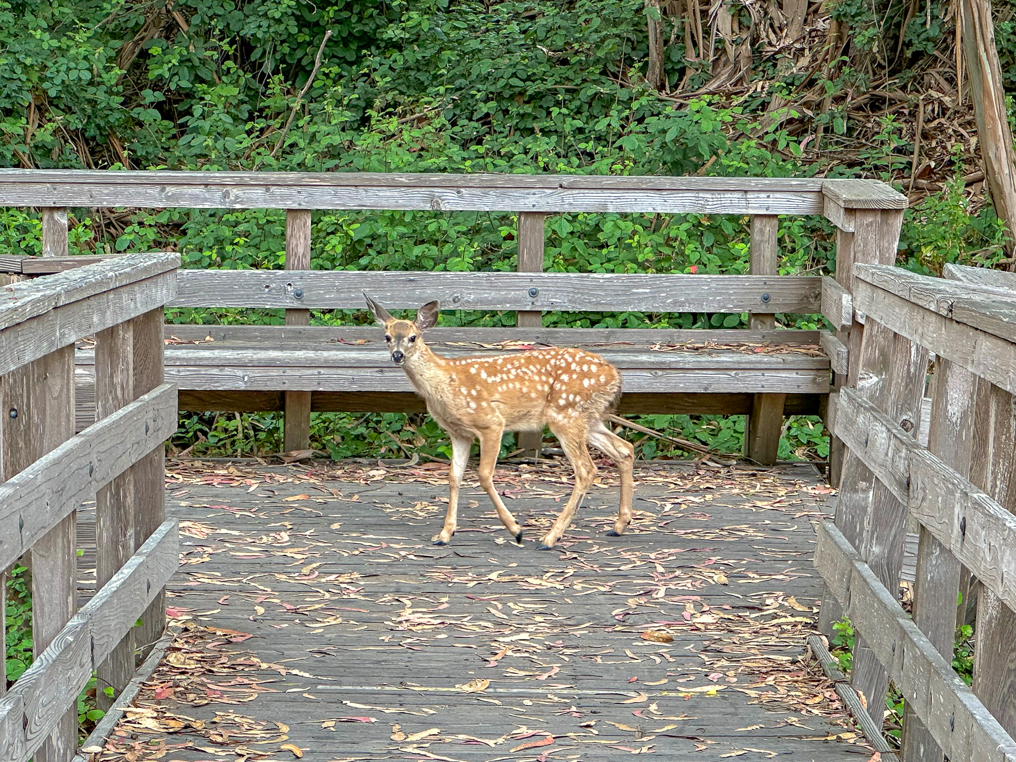
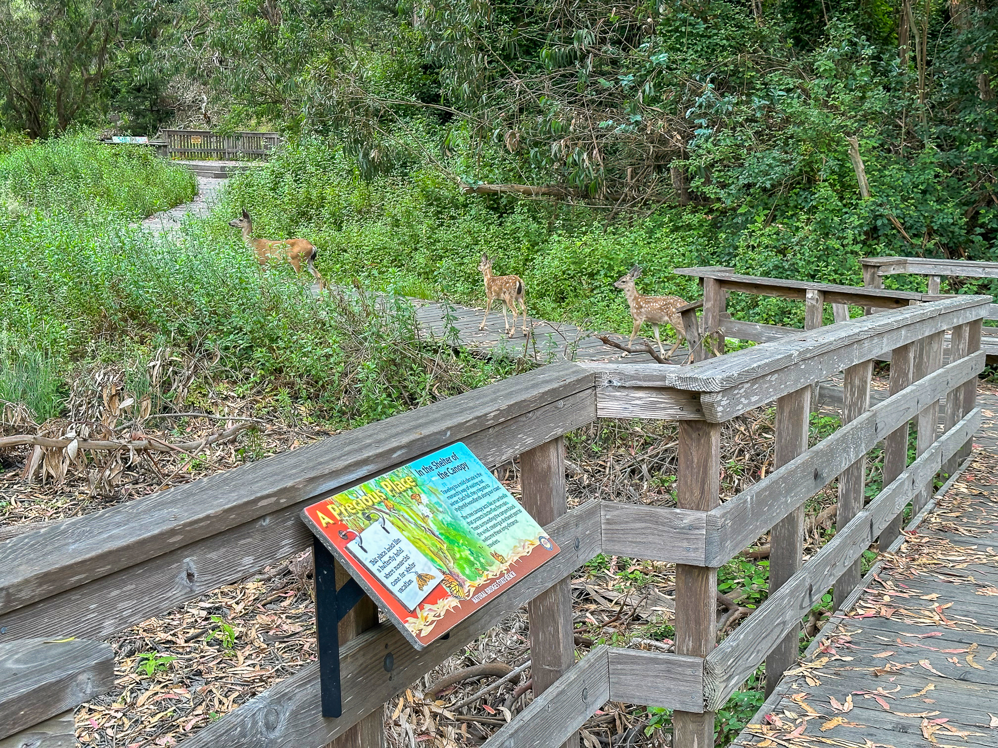
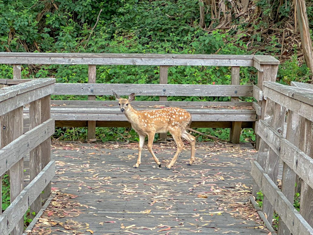
A deer family on the boardwalk in the butterfly preserve
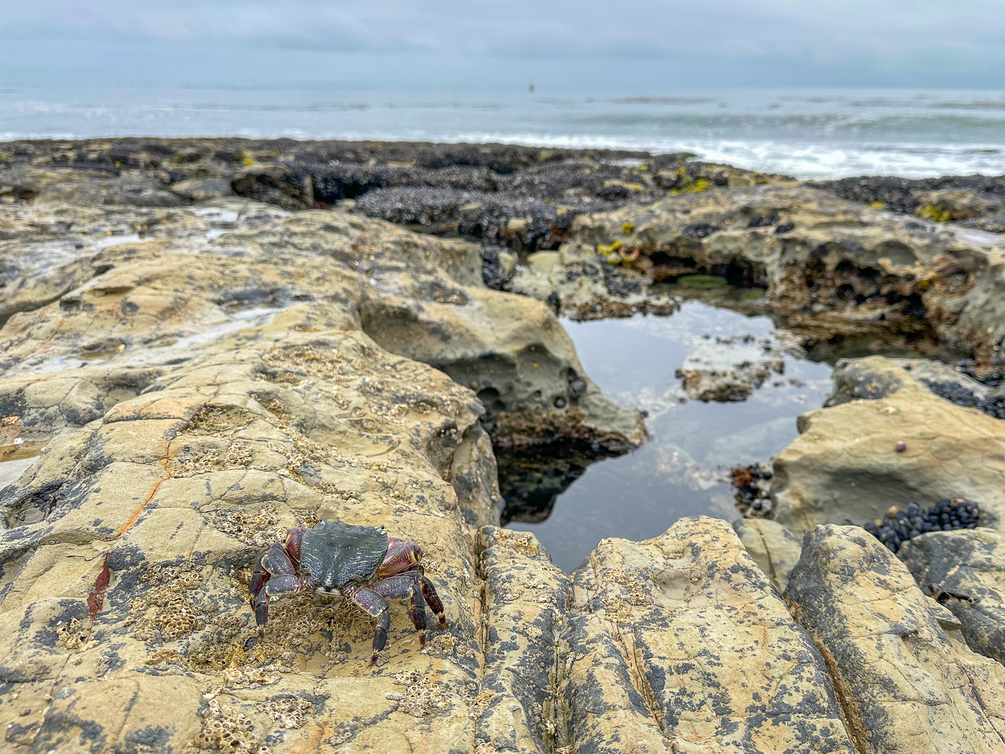
The Monarchs’ arrival in fall and winter coincides with a favorable time of year to go tide pooling, when low tides occur in the afternoon and early evening. Tide pooling is looking into the pools of water left behind in rocky shorelines when the tide goes out, and spotting creatures like snails, crabs, sea stars, and anemones.


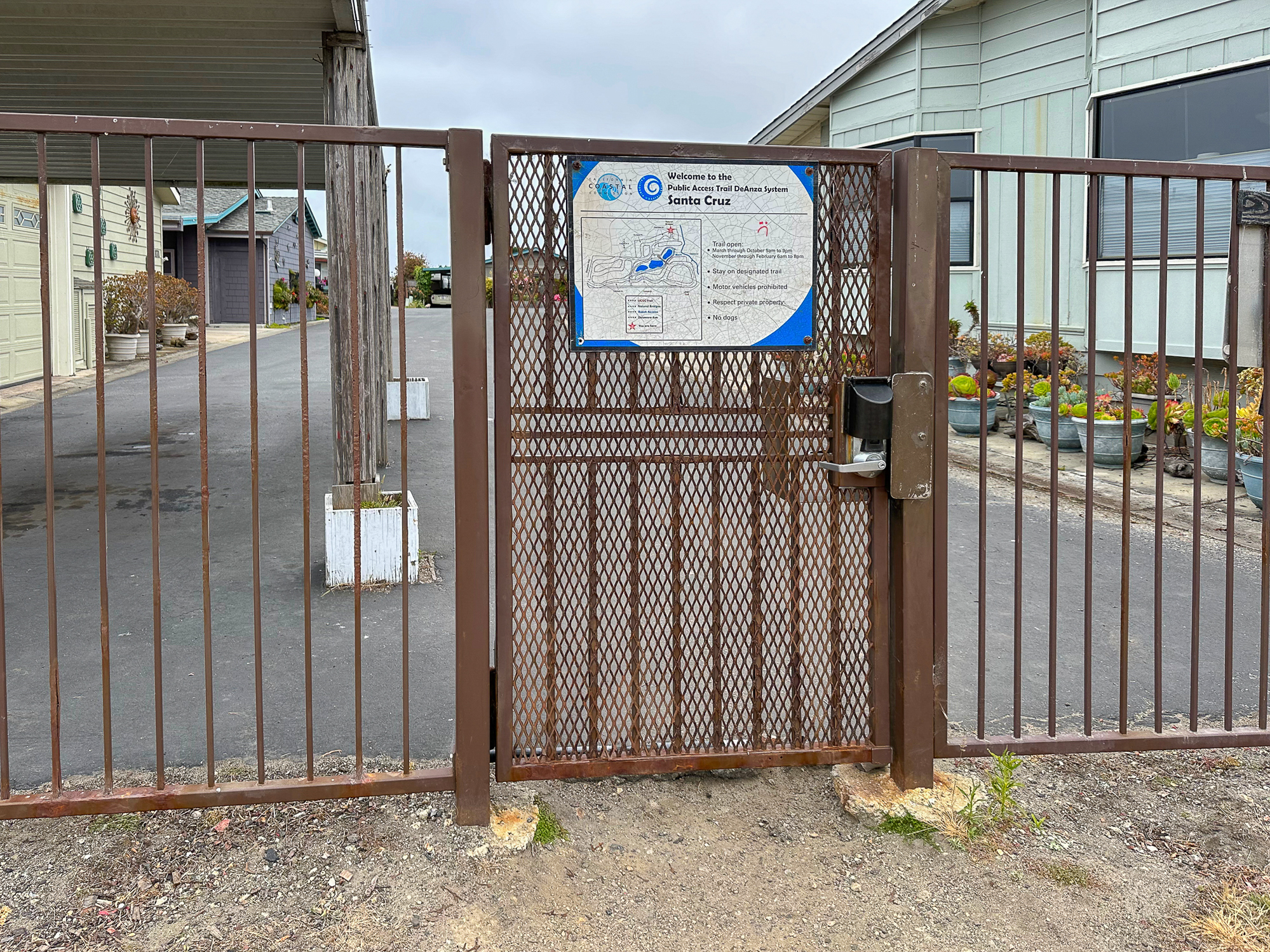
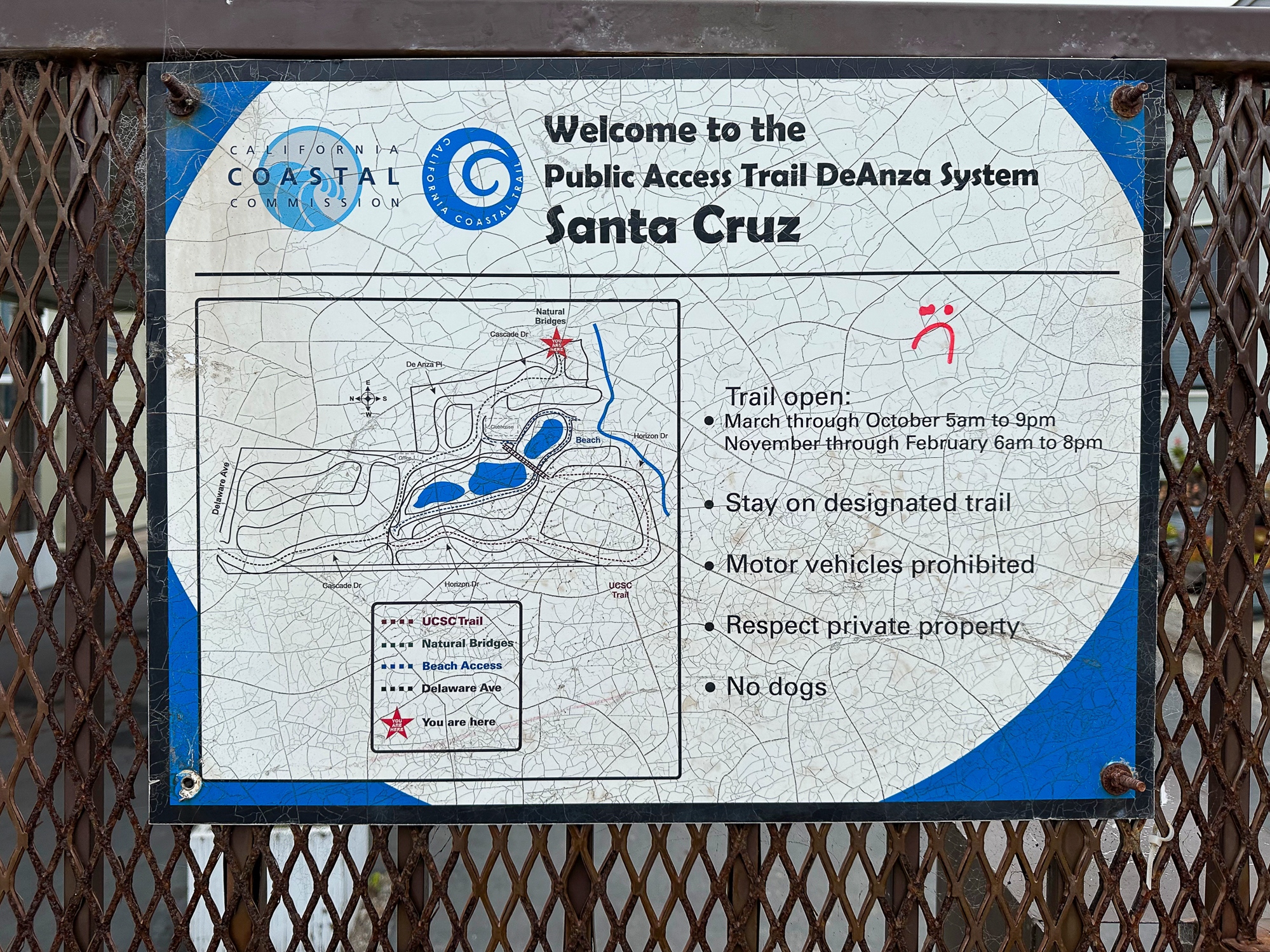
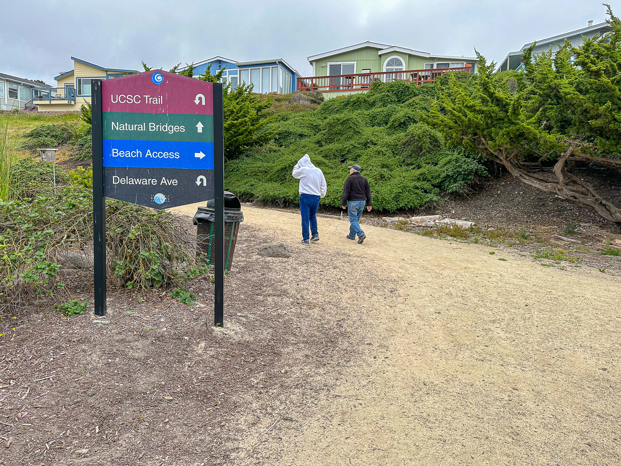
This hike visits tide pools that are accessed through public trails in the De Anza Santa Cruz mobile home community. The gated entrances to the community are open from 5:00 a.m. – 9:00 March through October and 6:00 a.m. to 8:00 p.m. November through February.
Tides, Tide Pools, and Timing
Check the tide forecast for Natural Bridges here on the National Oceanic and Atmospheric Administration’s Tides and Currents site. Low tides and minus tides—tides below zero that are really good for tide pooling—generally occur in the afternoon and early evening in fall and winter at Natural Bridges.
Generally, a good time to go tide pooling is an hour before low tide. This gives you time to explore while the tide is still going out and before it begins coming back in and covering up all the creatures! Leave your flip-flops at home: You’ll appreciate sturdy shoes on the uneven and slippery rocks covered in mussels and sea life. While you’re out on the water’s edge, always keep an eye on the sea for your safety.


At certain times of the year, there is an extra strong gravitational pull from the alignment of the sun, moon, and earth in a particular way, resulting in uncharacteristically high and low tides, like King Tides. King Tides can go quite high and quite low to nearly -2.0 feet. While generally, any negative tide is good for tide pooling, these extremely low tides are GREAT for seeing creatures usually covered by water. You could plan your tide pool visit by googling the dates of the King Tides and then looking up the low tide on those dates.
Monarch Butterfly Natural Preserve
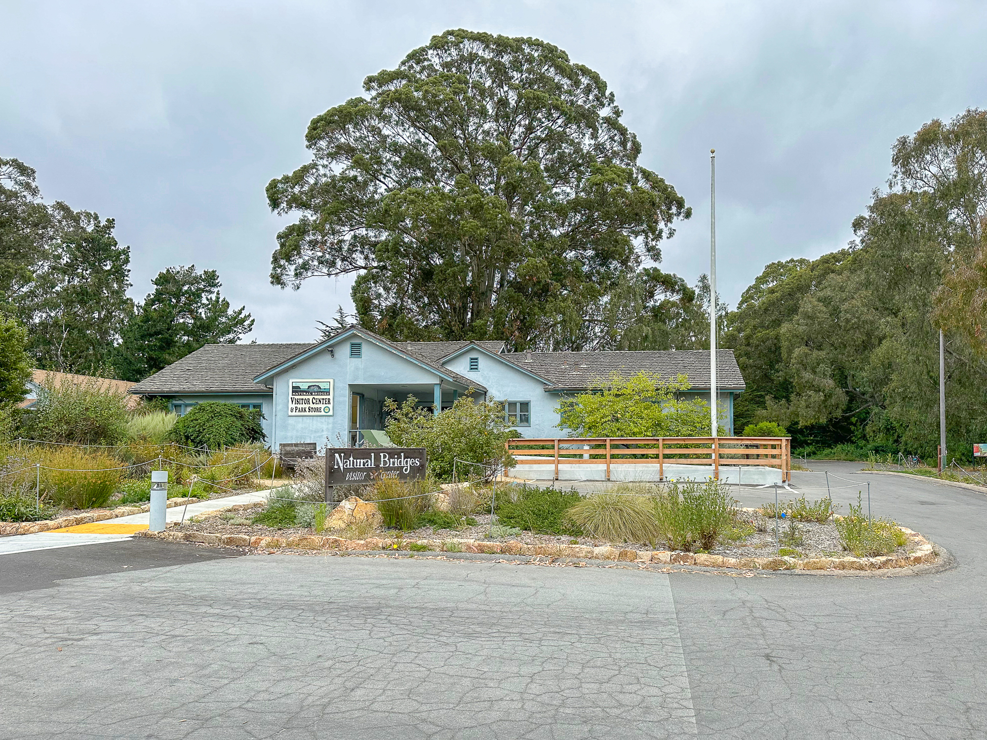
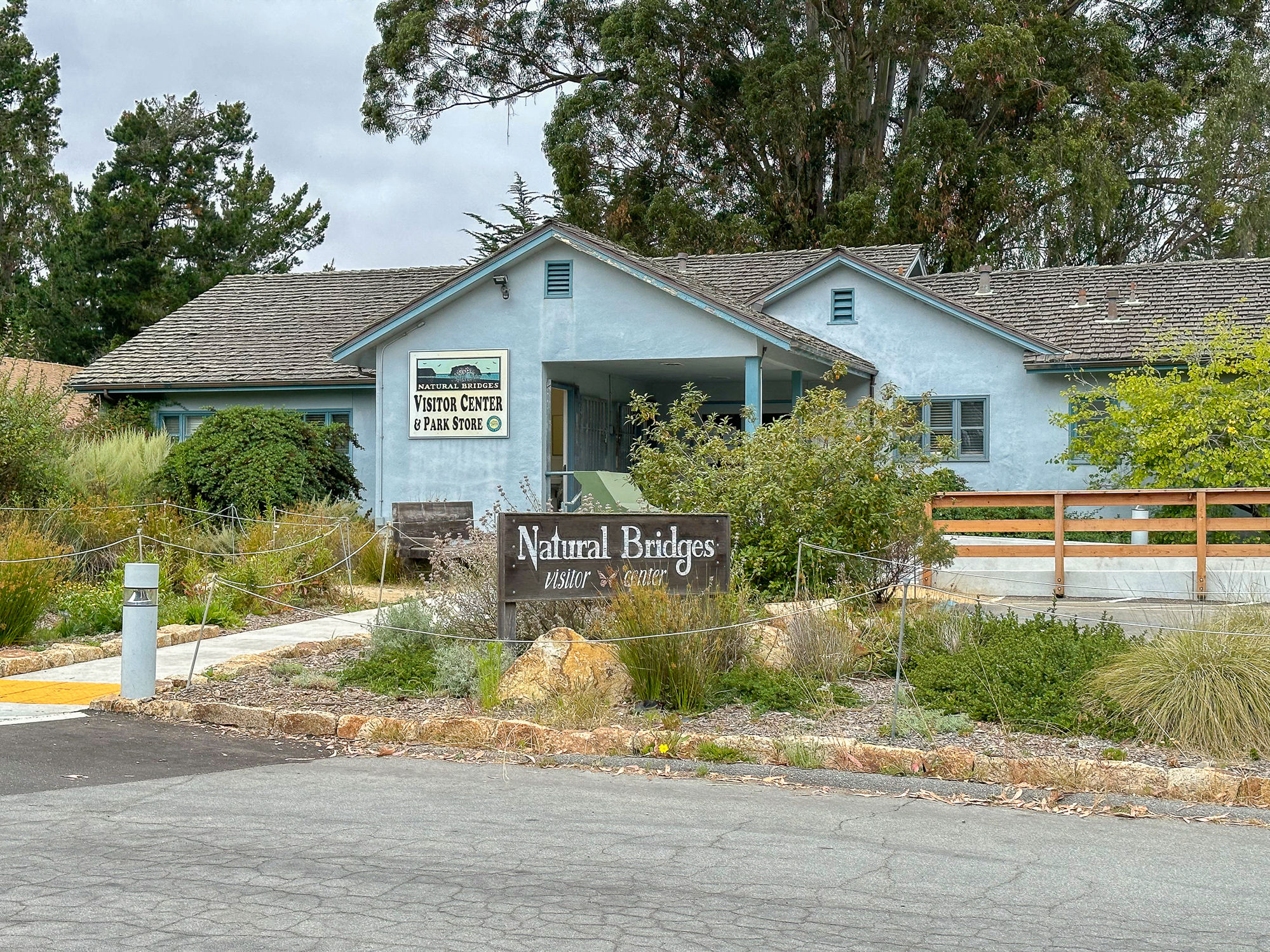
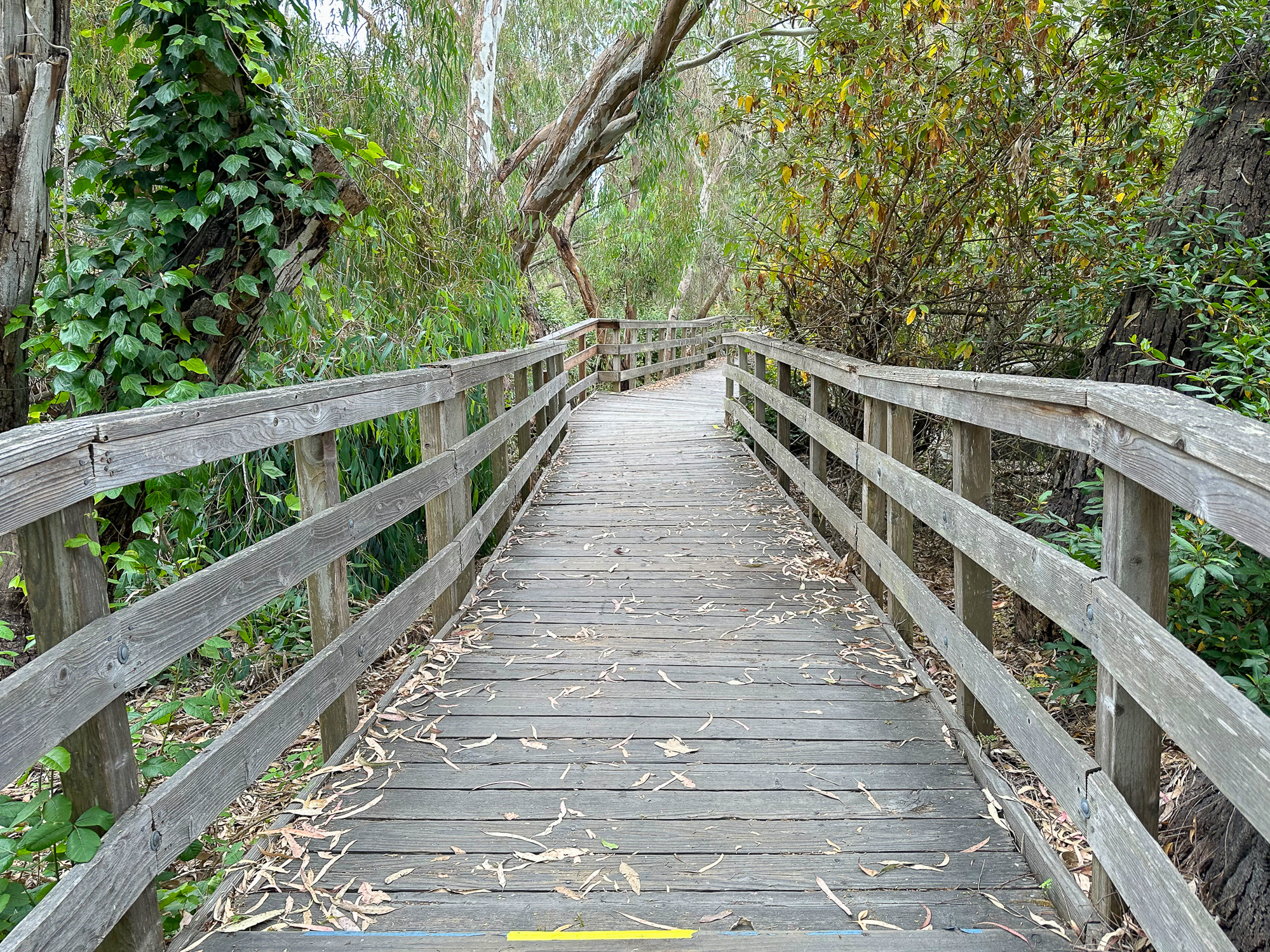
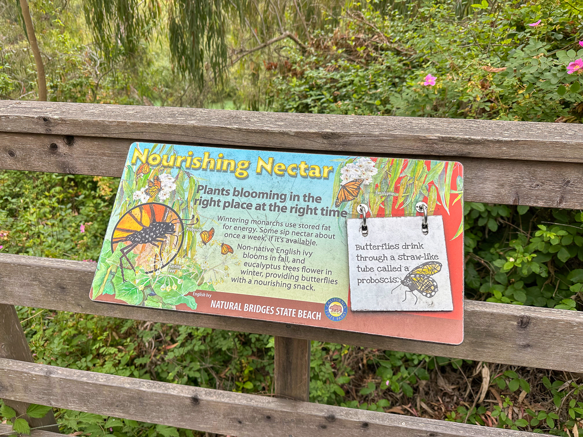
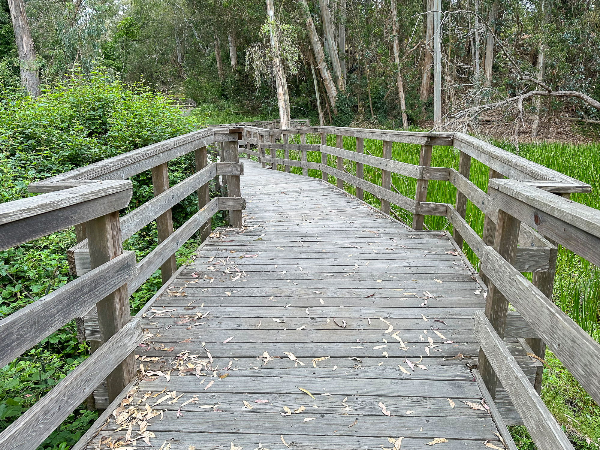
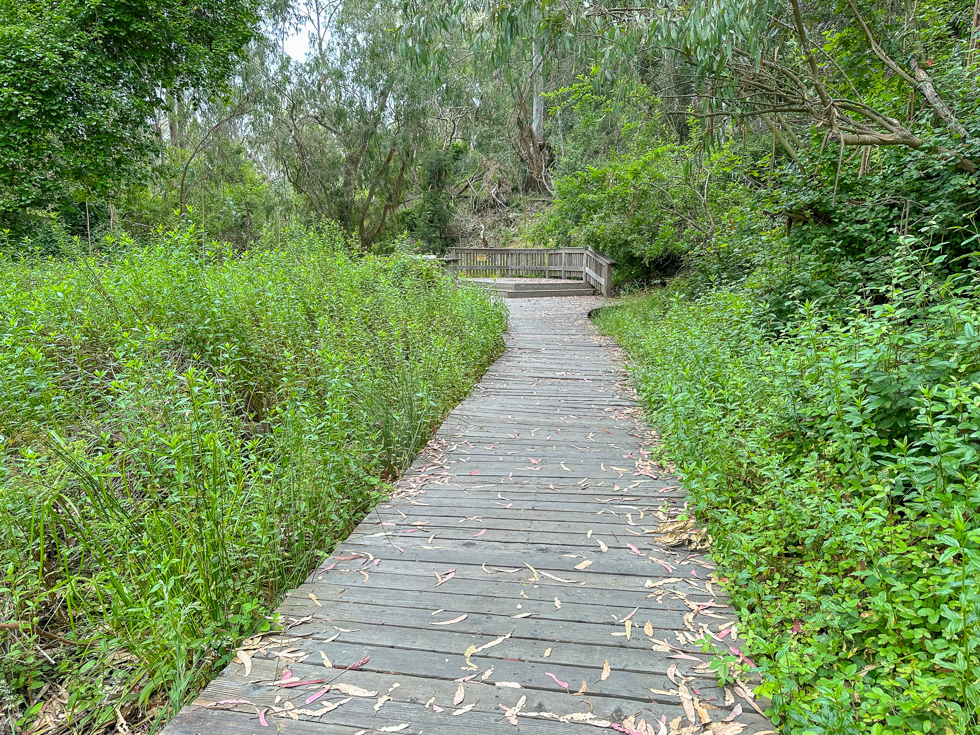
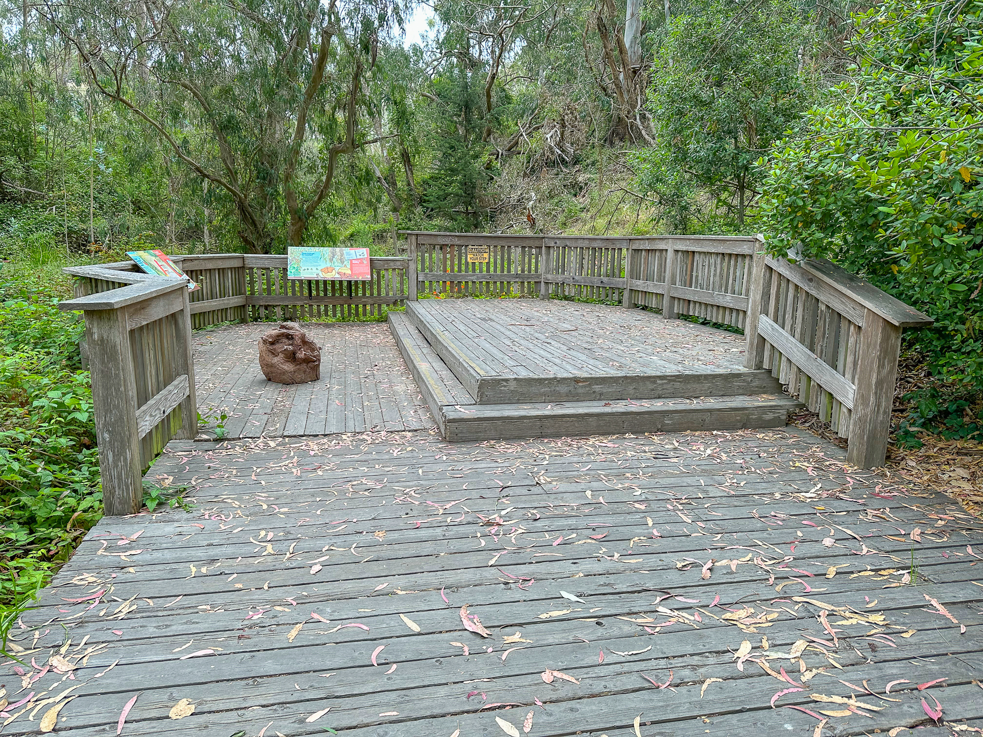
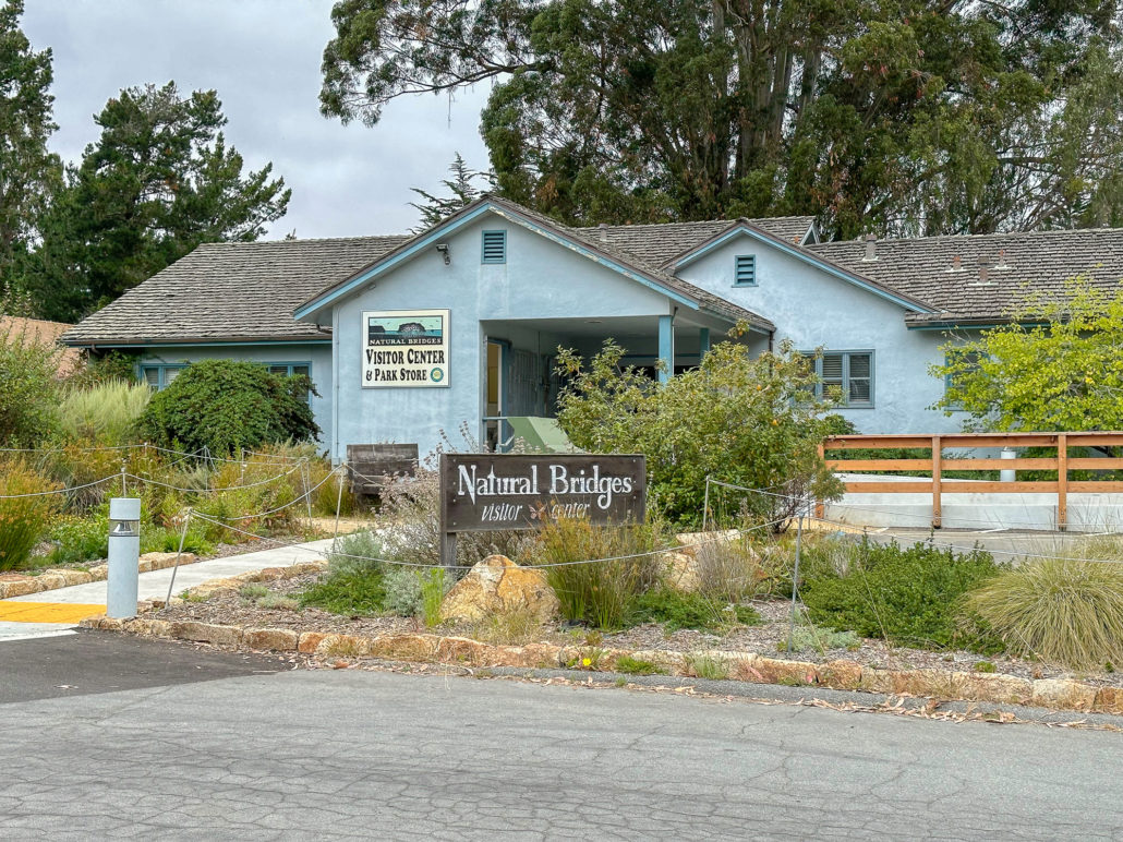
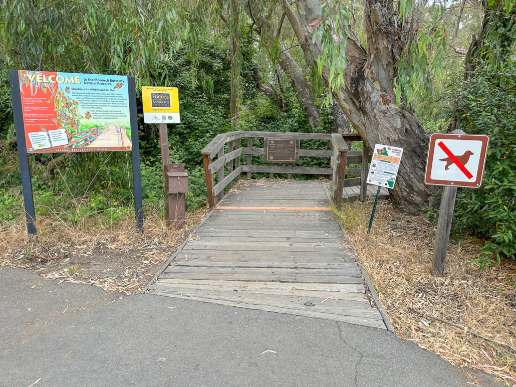
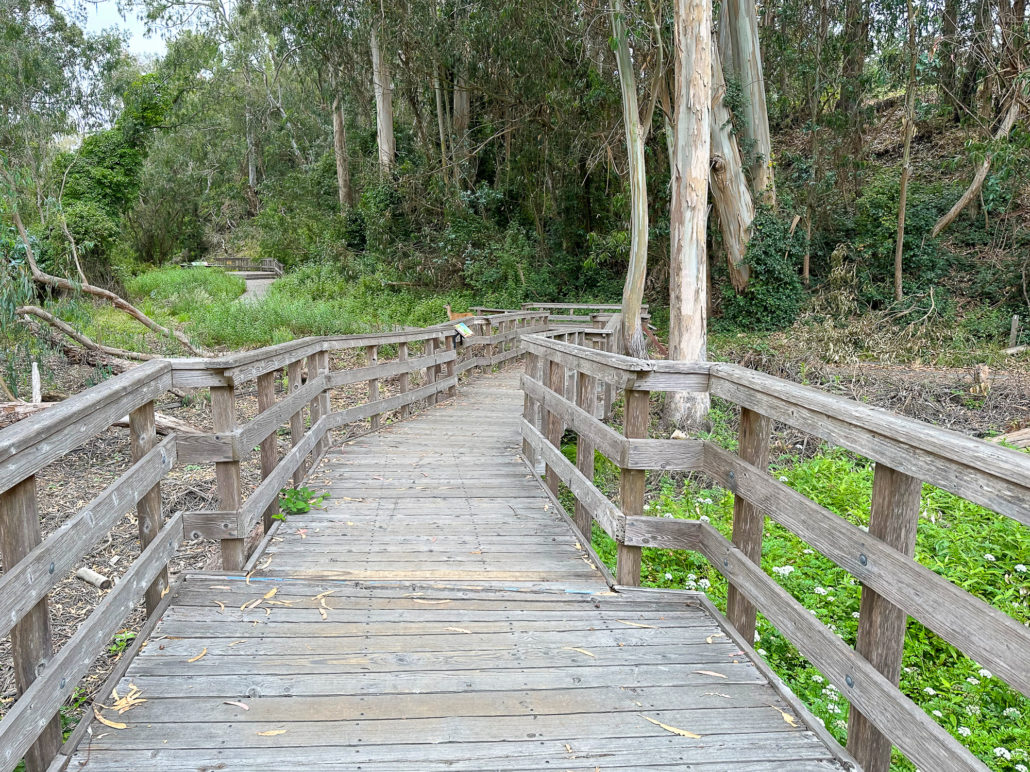
While this hike begins at the Monarch Preserve, it’s easy to switch it up and start with tide pooling if the timing works out more favorably. Beginning at the Natural Bridges Visitor Center, cross to the Monarch Butterfly Preserve sign and 5-foot wide accessible boardwalk under dense eucalyptus and patches of poison oak. Descend the stroller-friendly boardwalk, weathered and smooth, dotted with interpretive signs about the butterflies, plants, and wildlife.
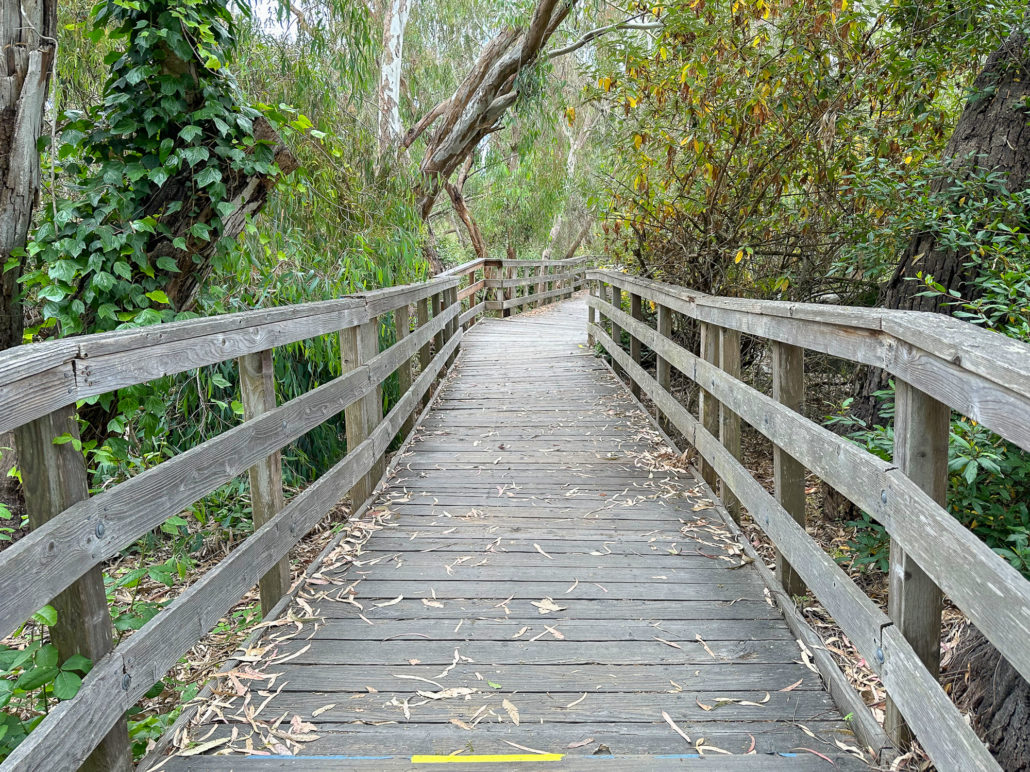
Eucalyptus trees provide shelter to the butterflies from rain and wind as well as a food source when the trees flower in winter. Look up and keep your eyes peeled for the Monarchs. They may be challenging to spot in cooler temperatures when they cling together and look like clusters of dead leaves. If the temperatures are warm enough, generally above 60 degrees, they become active, fluttering their orange wings around the canopy.
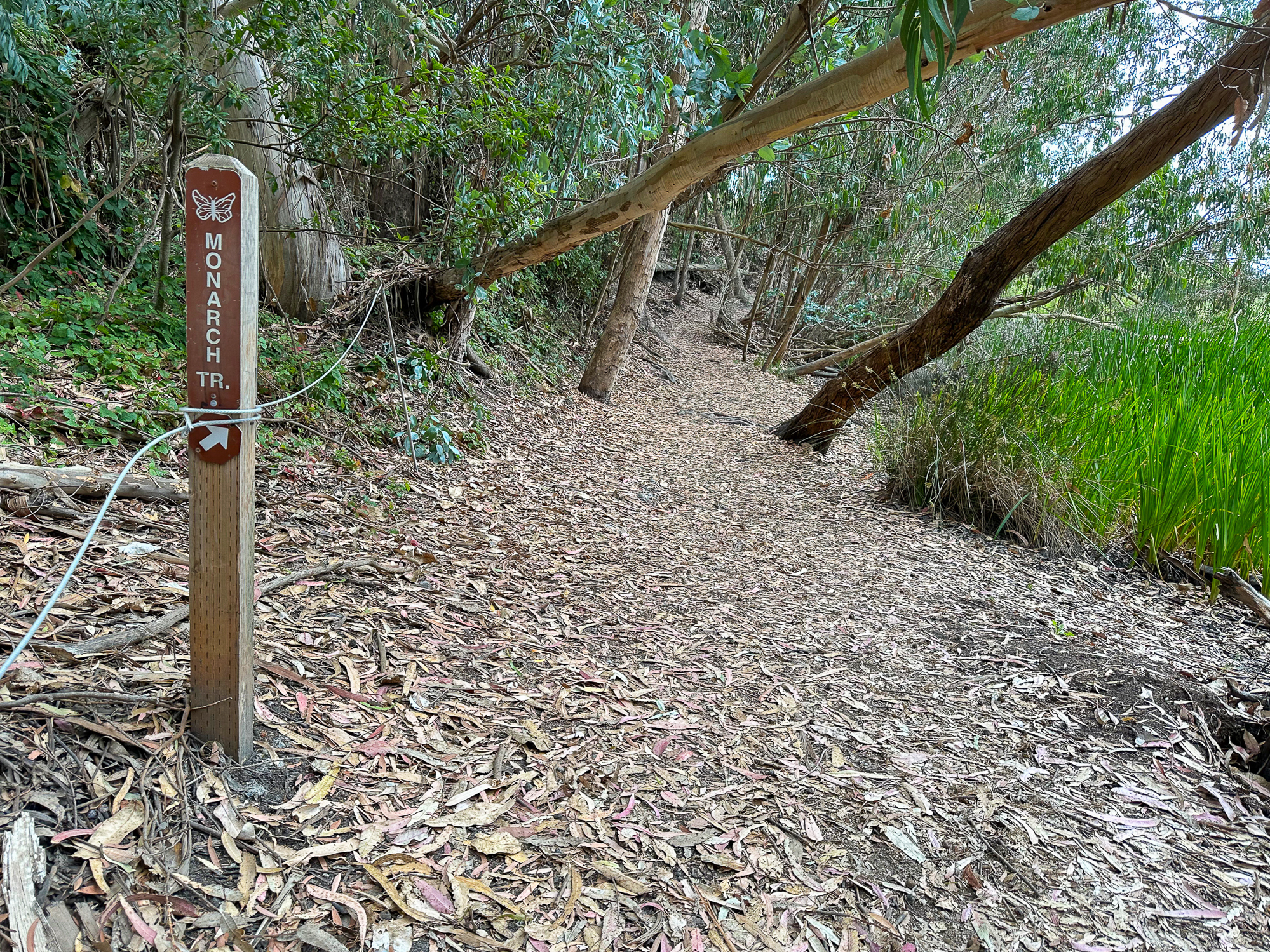
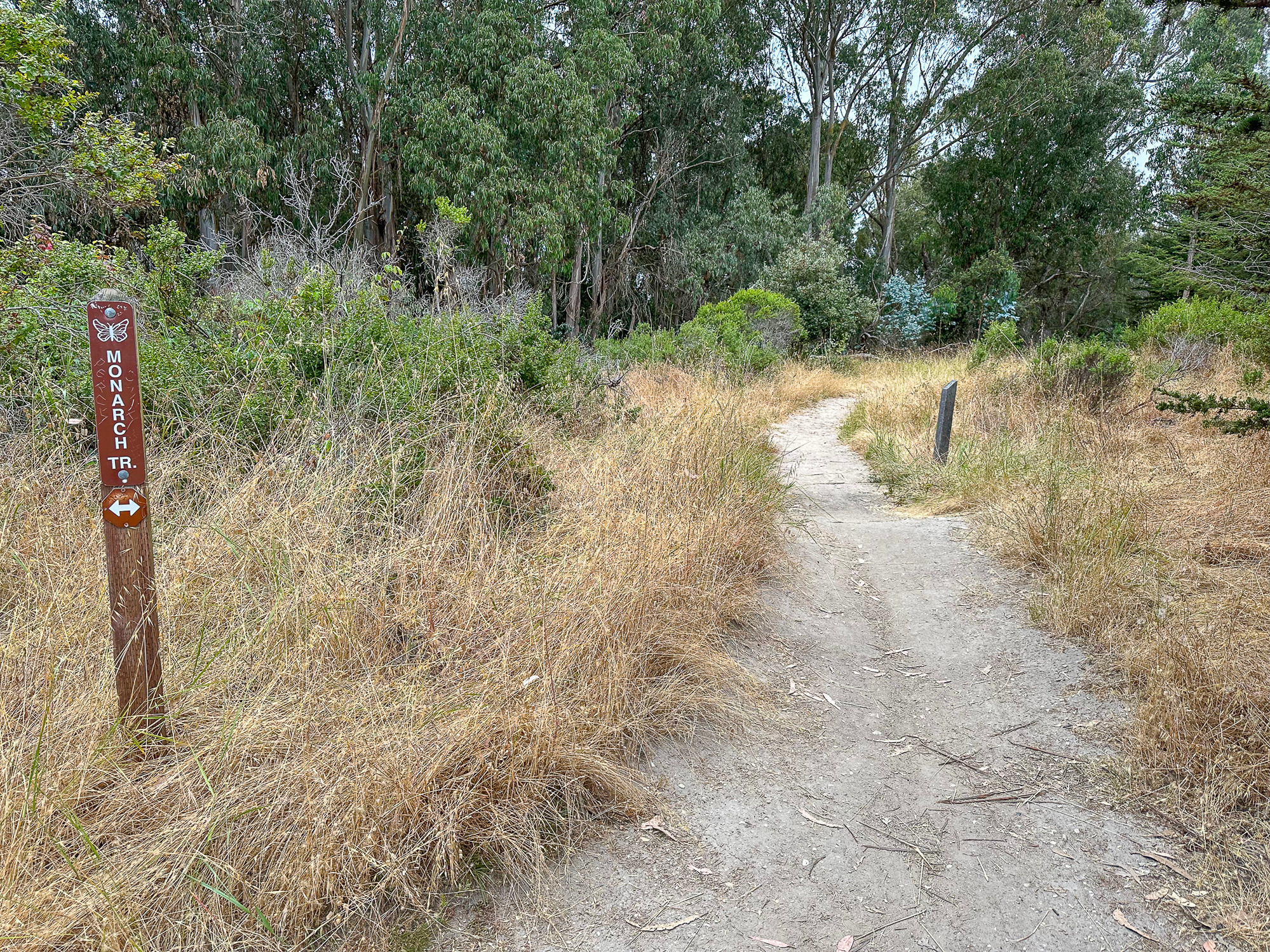
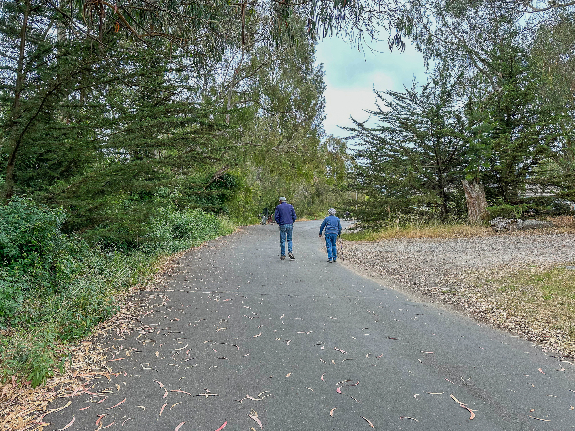
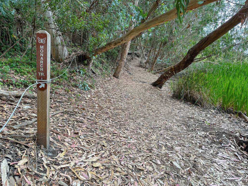
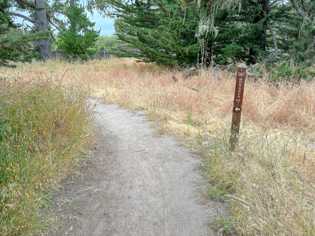
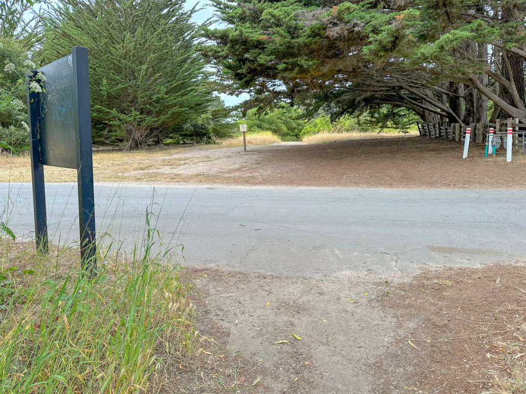
At the end of the boardwalk, turn right onto the Monarch Trail. Follow the moderately wide dirt trail north and then west around the forest to Natural Bridges Drive. Then, turn left onto Natural Bridges Drive, hiking south on the paved road back toward the visitor center.


Natural Bridges Overlook
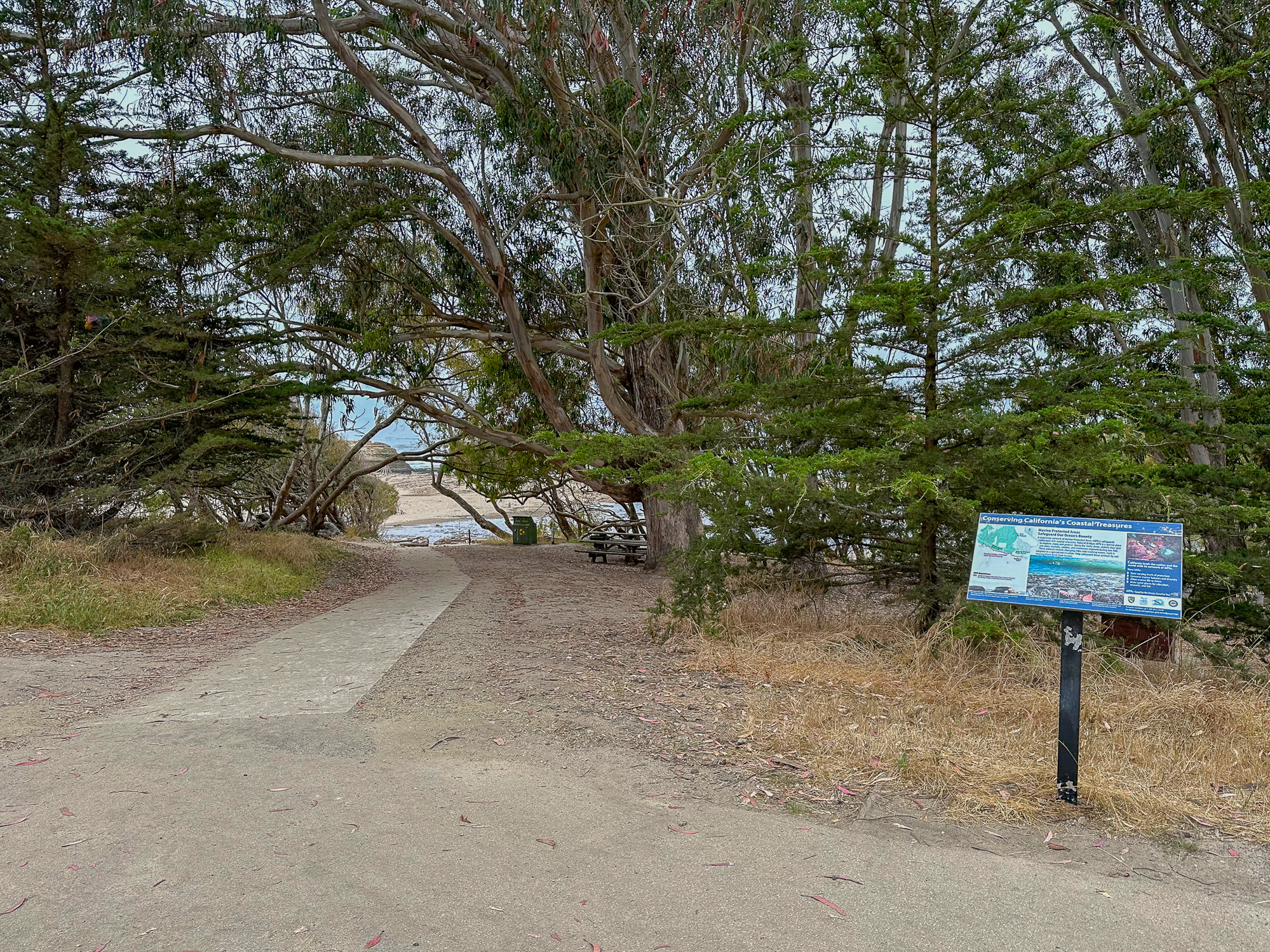
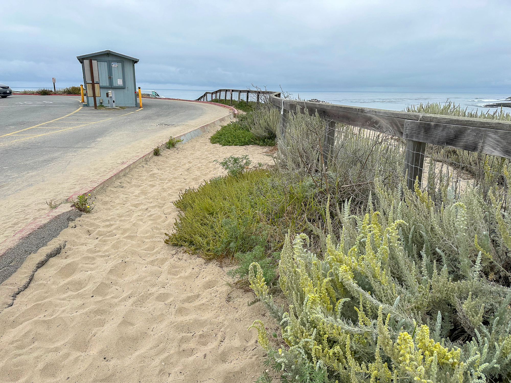
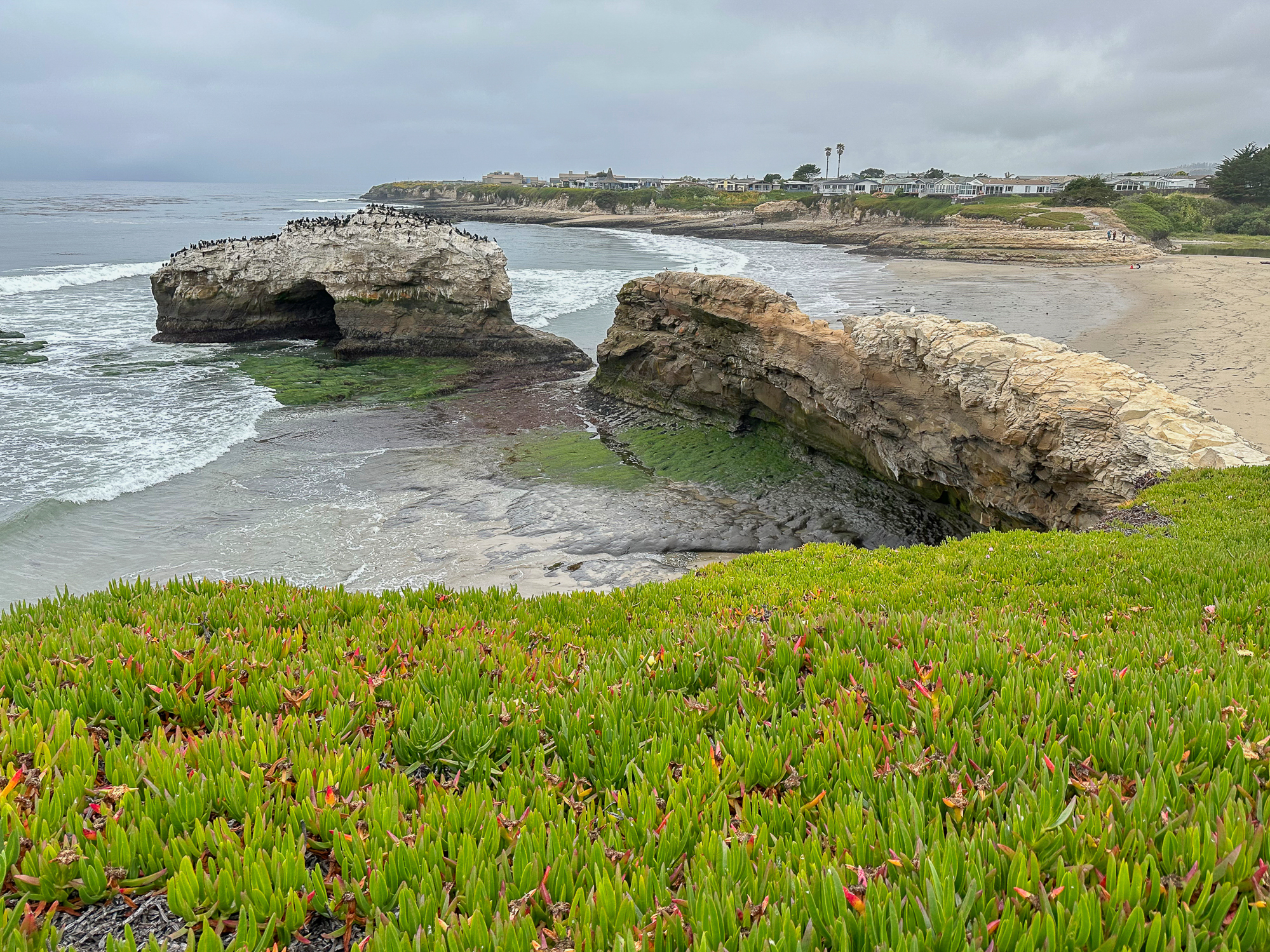
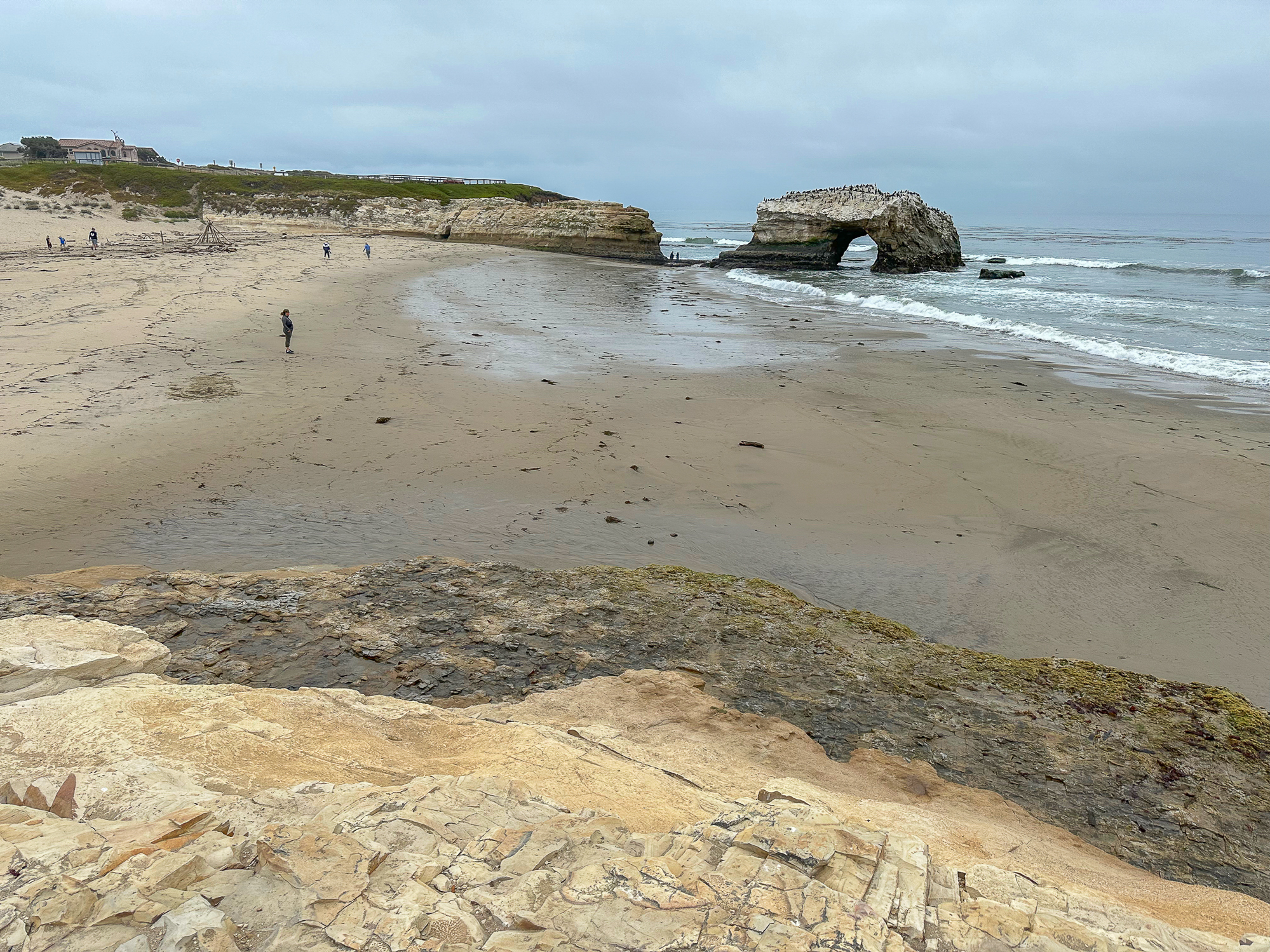
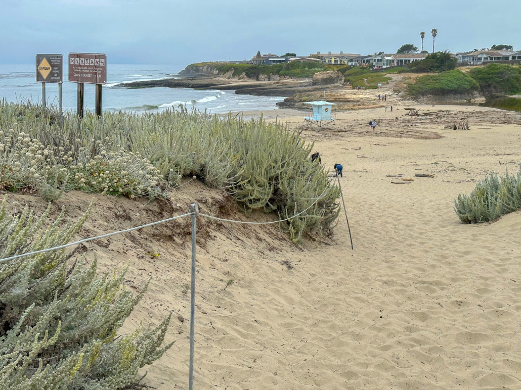
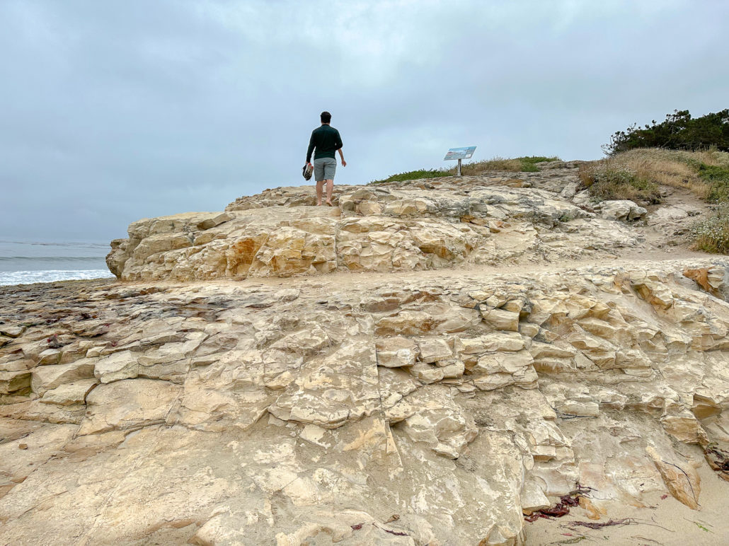
Pass the visitor center and continue south to the beach. Once you’re on the sand, you could just go to the water’s edge. But for a nice vista of the beach, bay, and park, bear left and make your way up to the park entrance kiosk. Then, continue straight to the 20-minute parking lot.

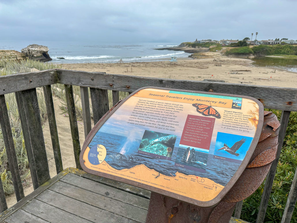
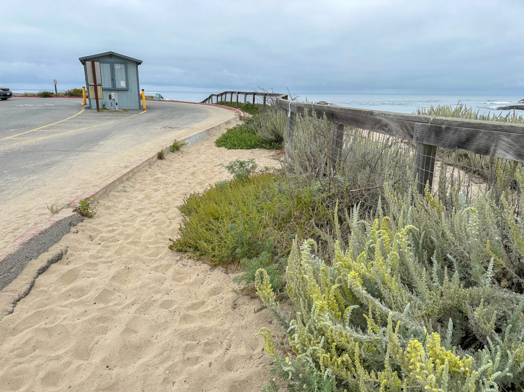
Natural Bridges entrance kiosk and 20-minute parking lot beyond it
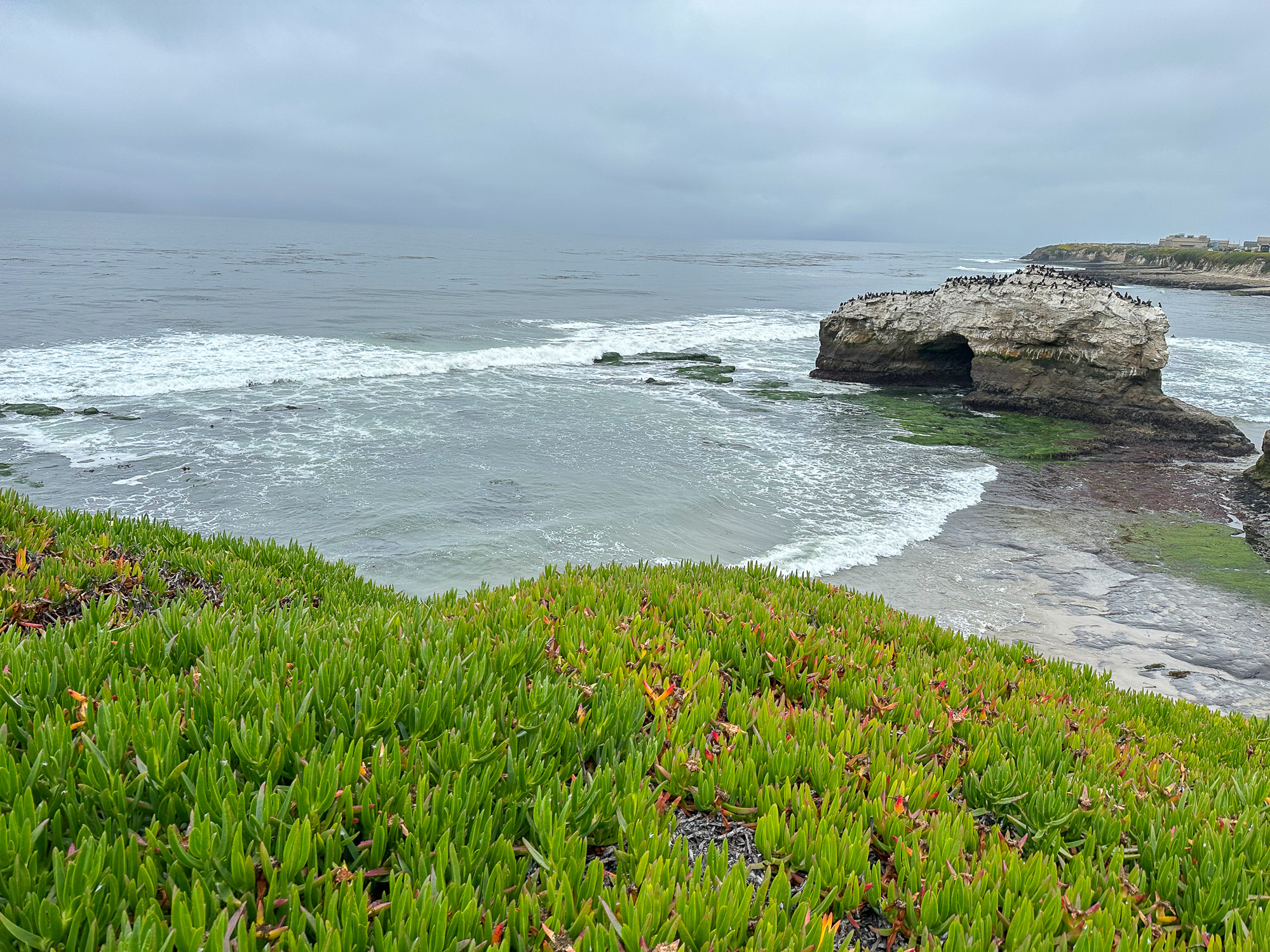
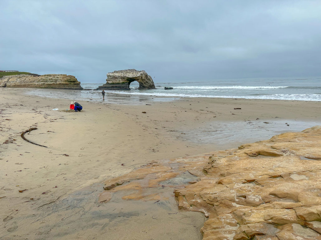
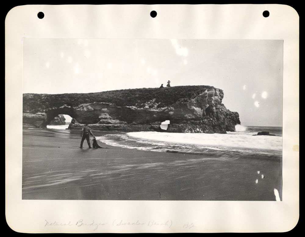
Just one natural, wave-carved arch is left out of the three original “bridges.” This remaining arch used to be the middle arch. The outermost arch beyond it fell in the early 1900s. The innermost arch, between the middle arch and the rocky promontory in front of you, collapsed in a 1980 storm. The historic photo below, courtesy of the University of California, Santa Cruz, was taken between 1940 and 1960 and shows the innermost arch intact. The middle arch is just beyond it, although it’s a little tricky to see. You can also spot the gap where the outer arch used to be.

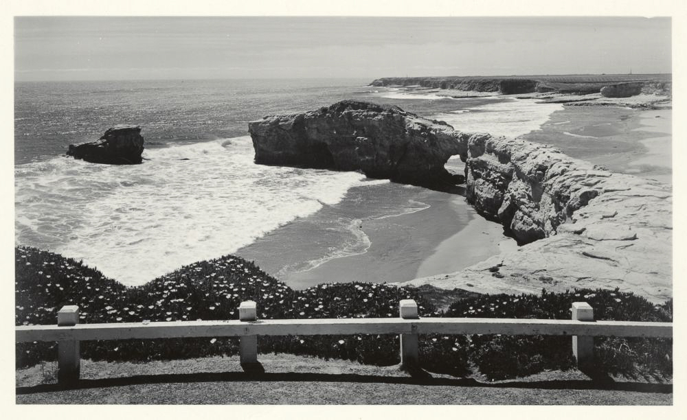
Photo Courtesy University of California, Santa Cruz. McHenry Library, Special Collections.
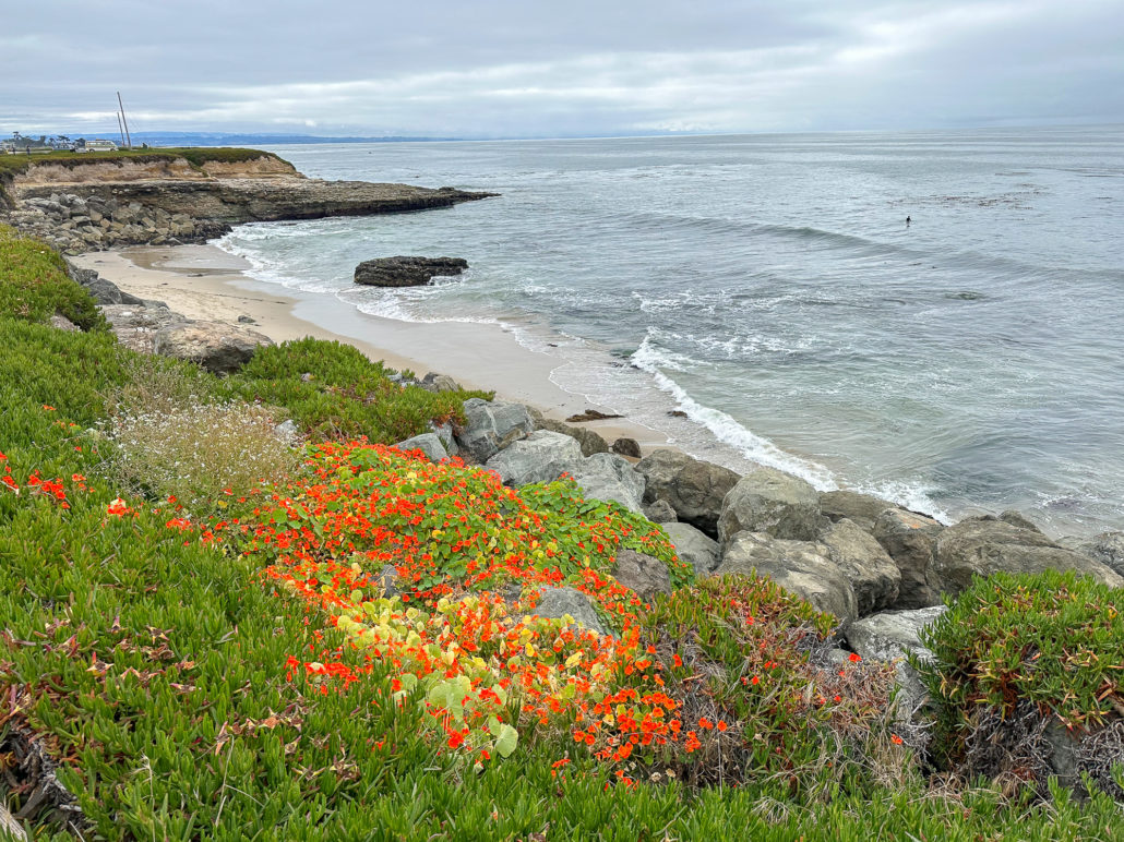
Natural Bridges Beach
When ready, retrace your steps and descend the sandy slope to the beach. The middle arch is clearly visible at the water’s edge. More historic photographs from the University of California, Santa Cruz, show what the original arches looked like from the beach. These photographs were taken between the late 1800’s and early 1900’s.
Two women above the middle arch. Photo Courtesy University of California, Santa Cruz. McHenry Library, Special Collections.
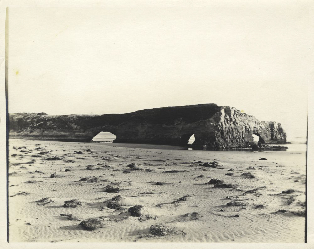
View of the three original arches. Photo Courtesy University of California, Santa Cruz. McHenry Library, Special Collections.
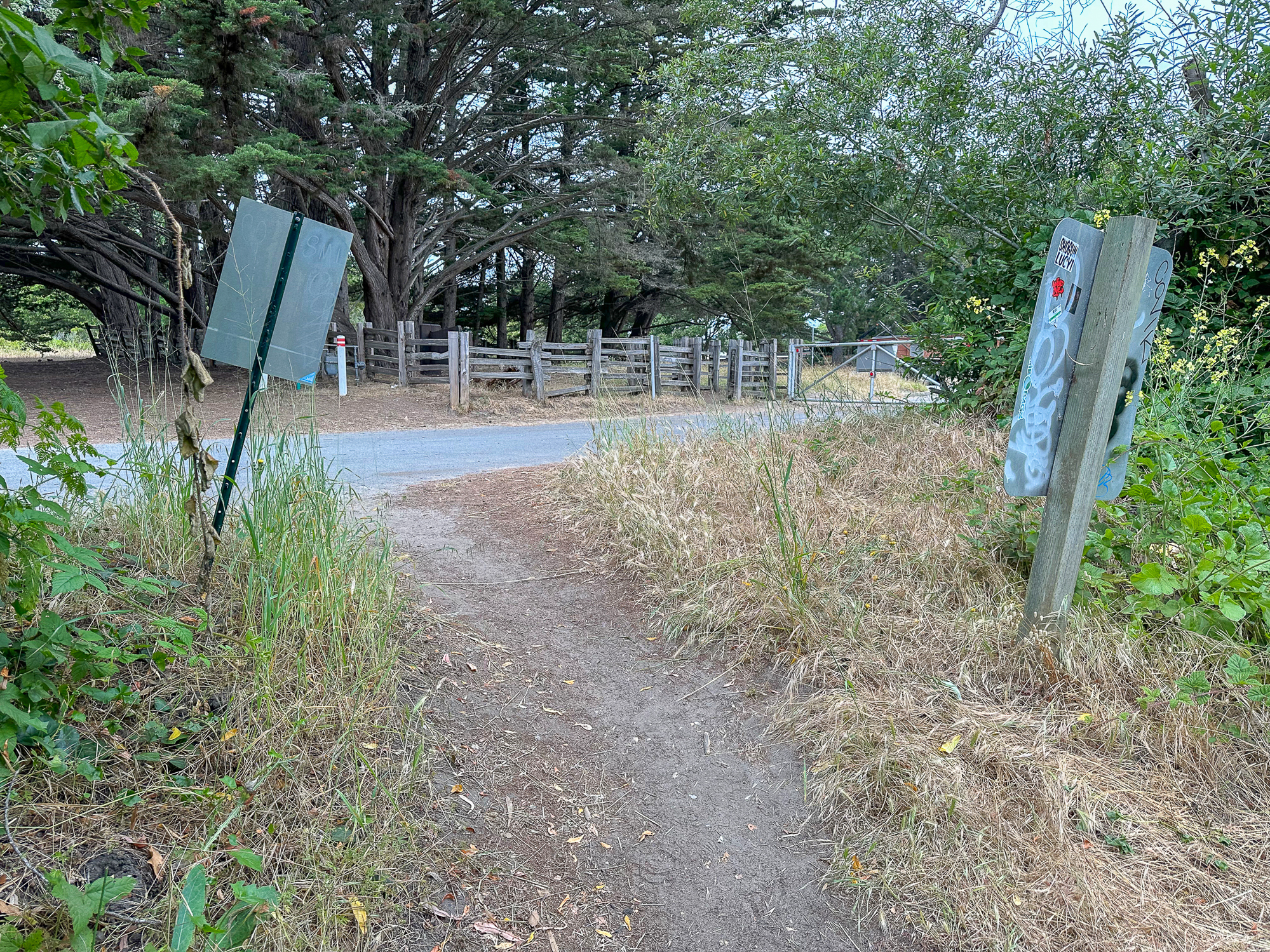
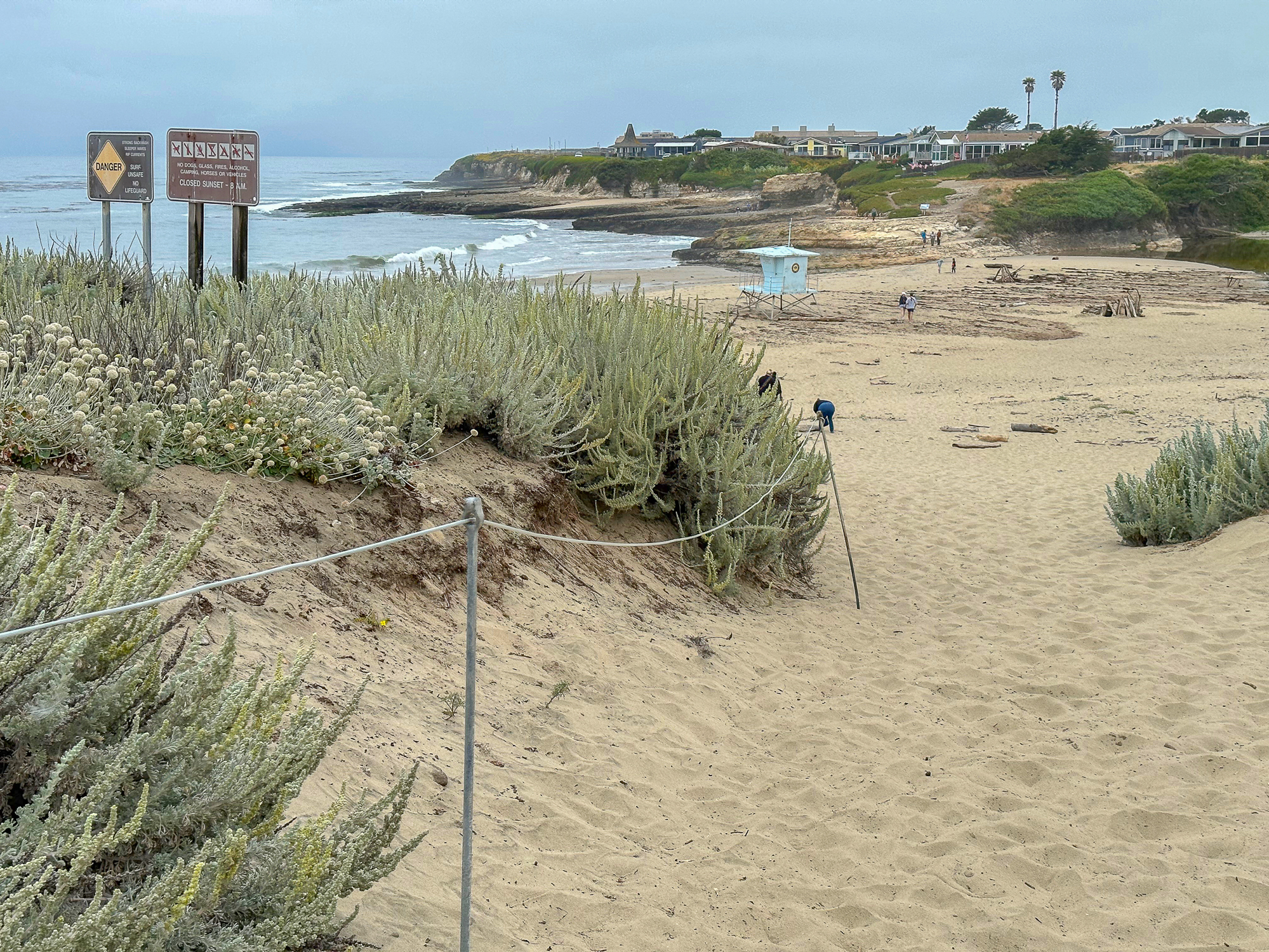
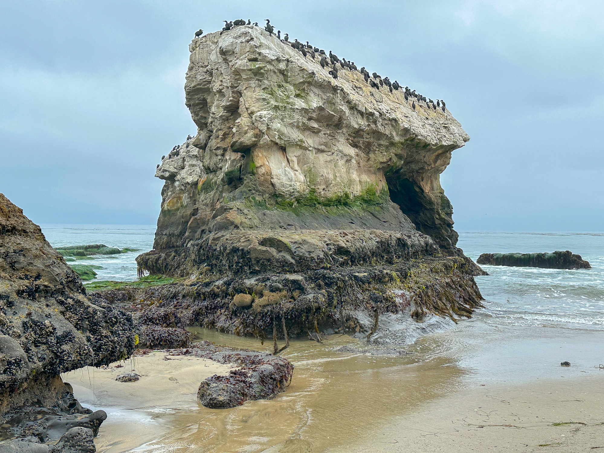
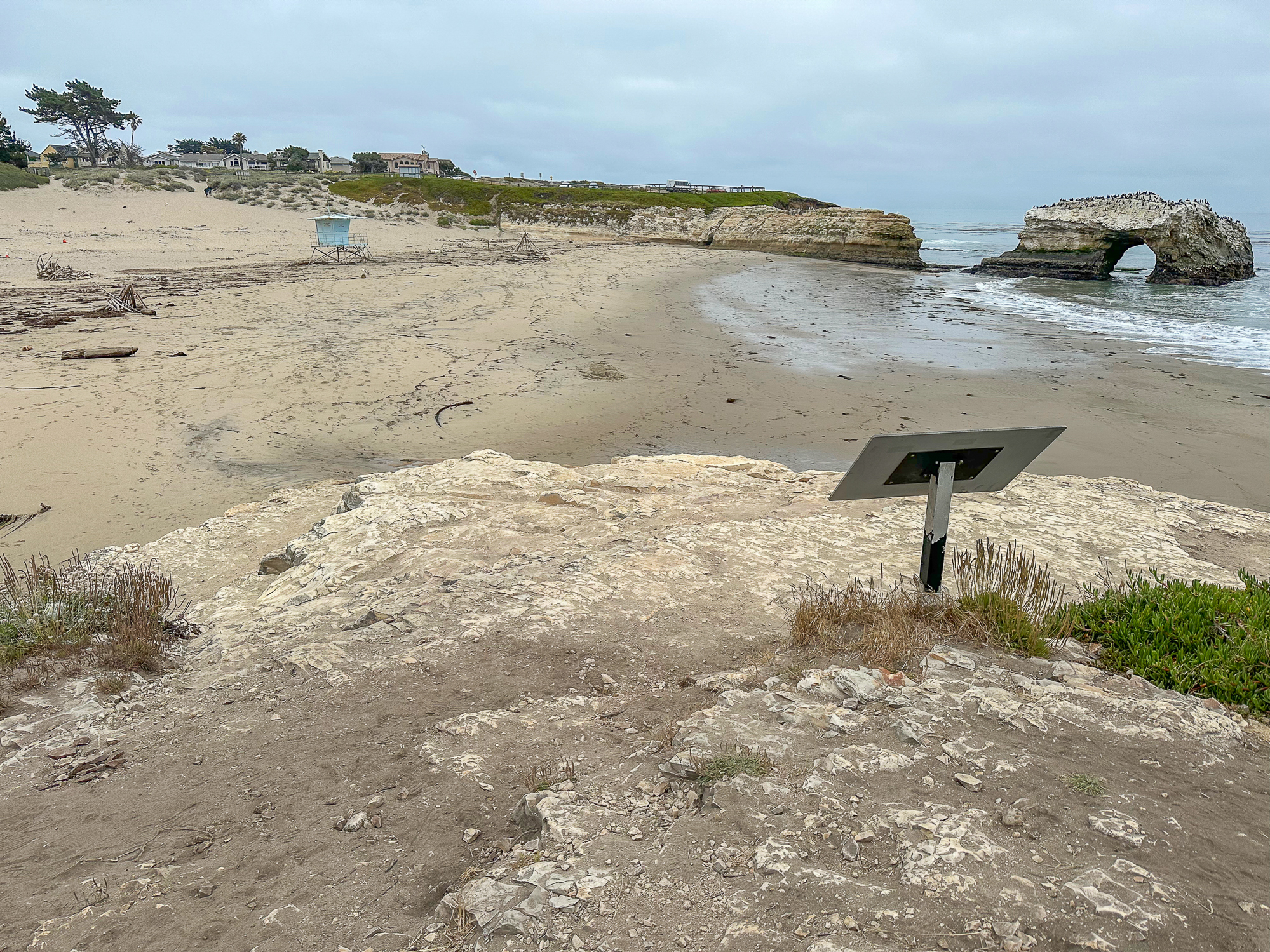
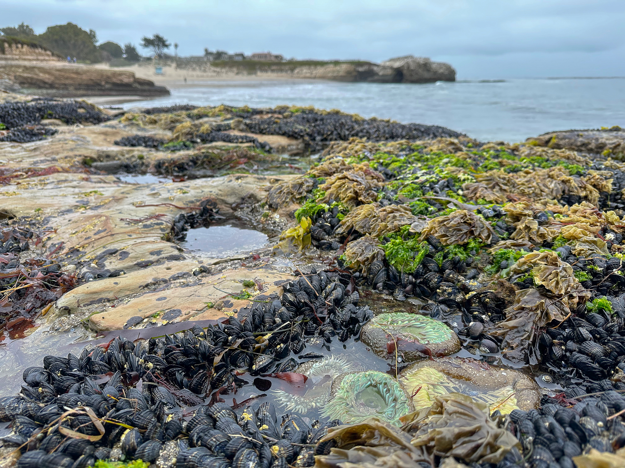
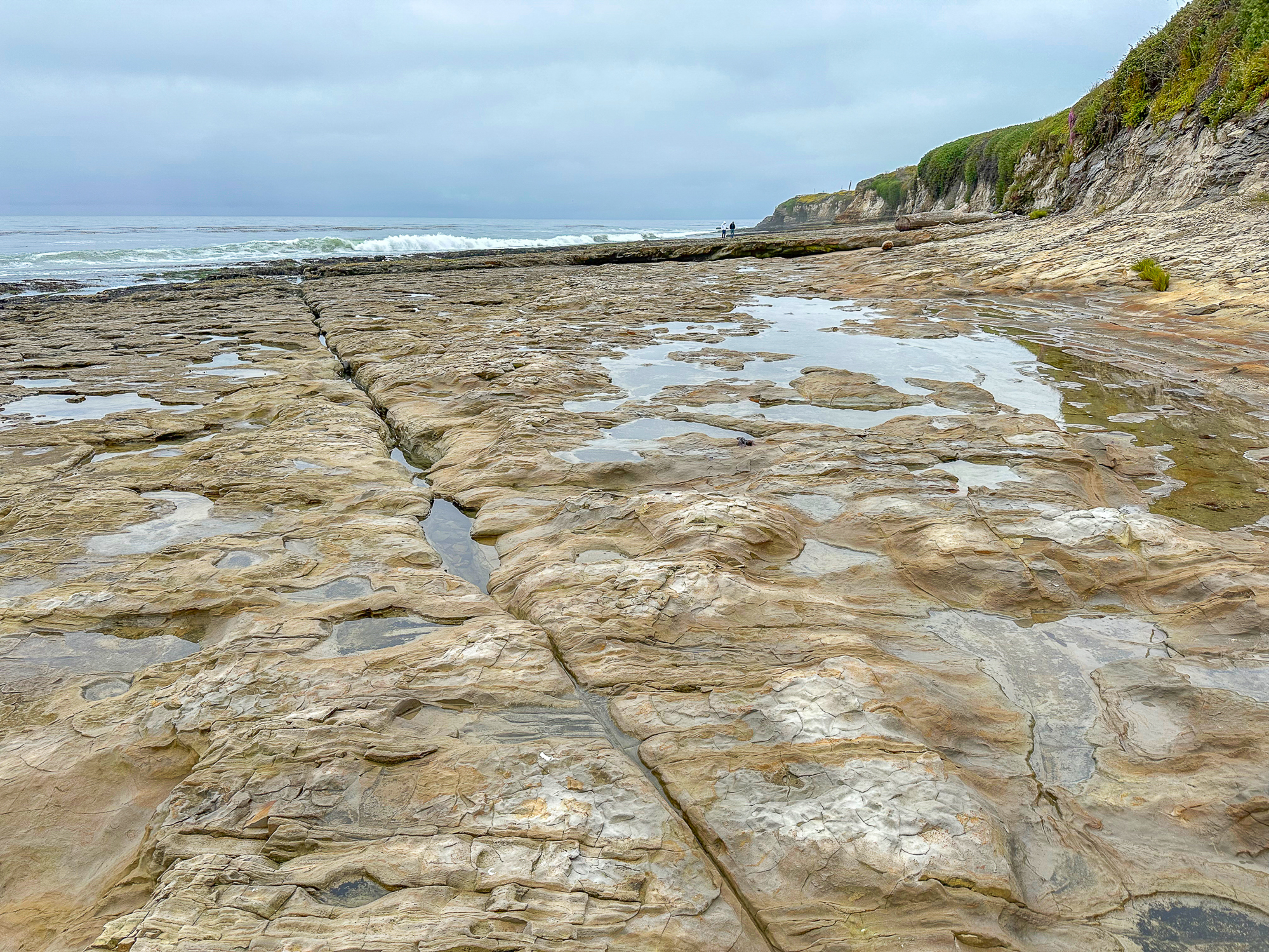
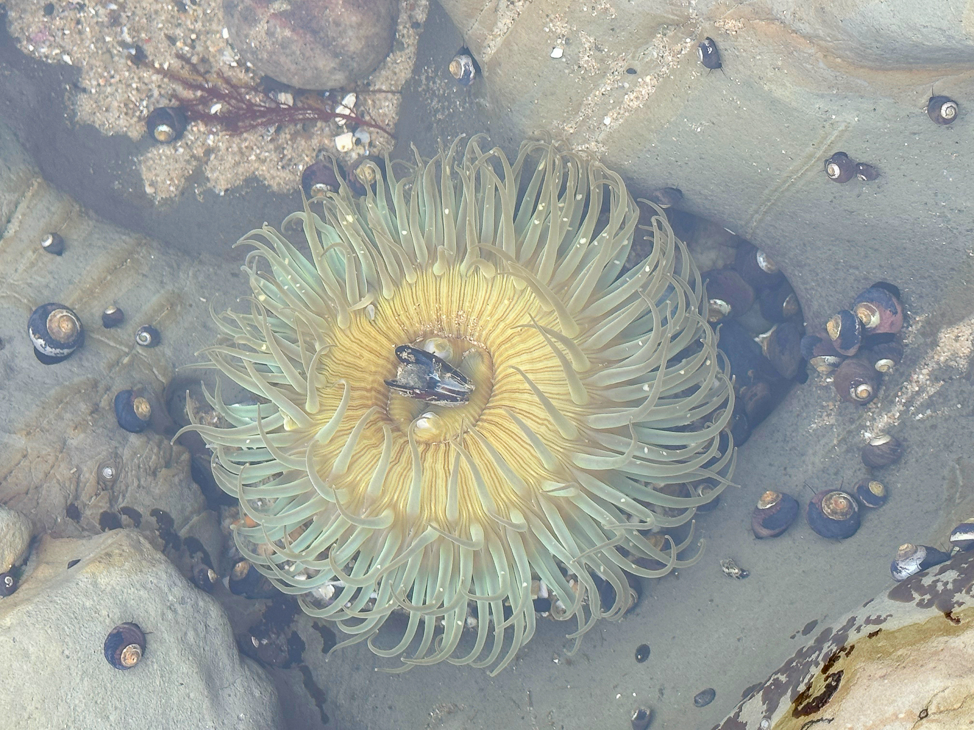
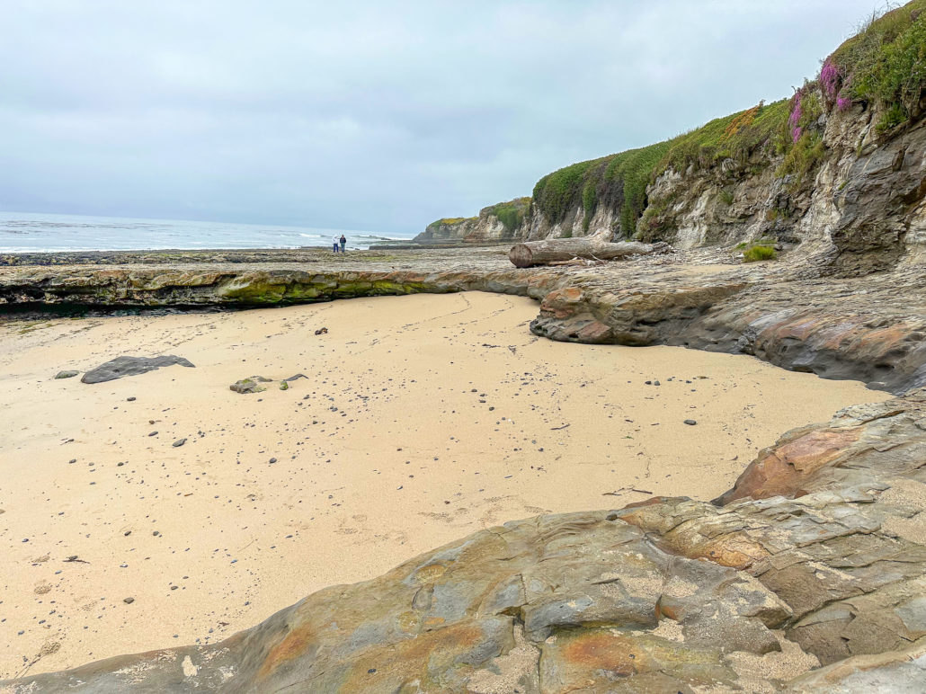
When ready, continue to the western side of the beach and climb up the rocky shelves. You can do some tide pooling on these shelves, and see creatures like anemones at low tide. However, for a more in-depth tide-pooling experience, find the footpath near the interpretive sign. Follow it to a gate at the De Anza Santa Cruz mobile home community, where public access trails lead through the community to more tide pools.

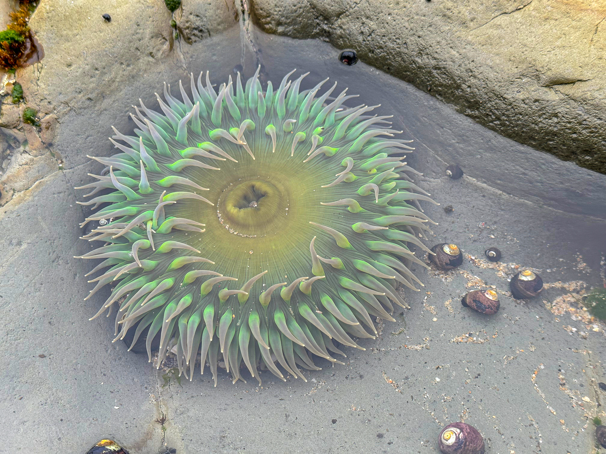
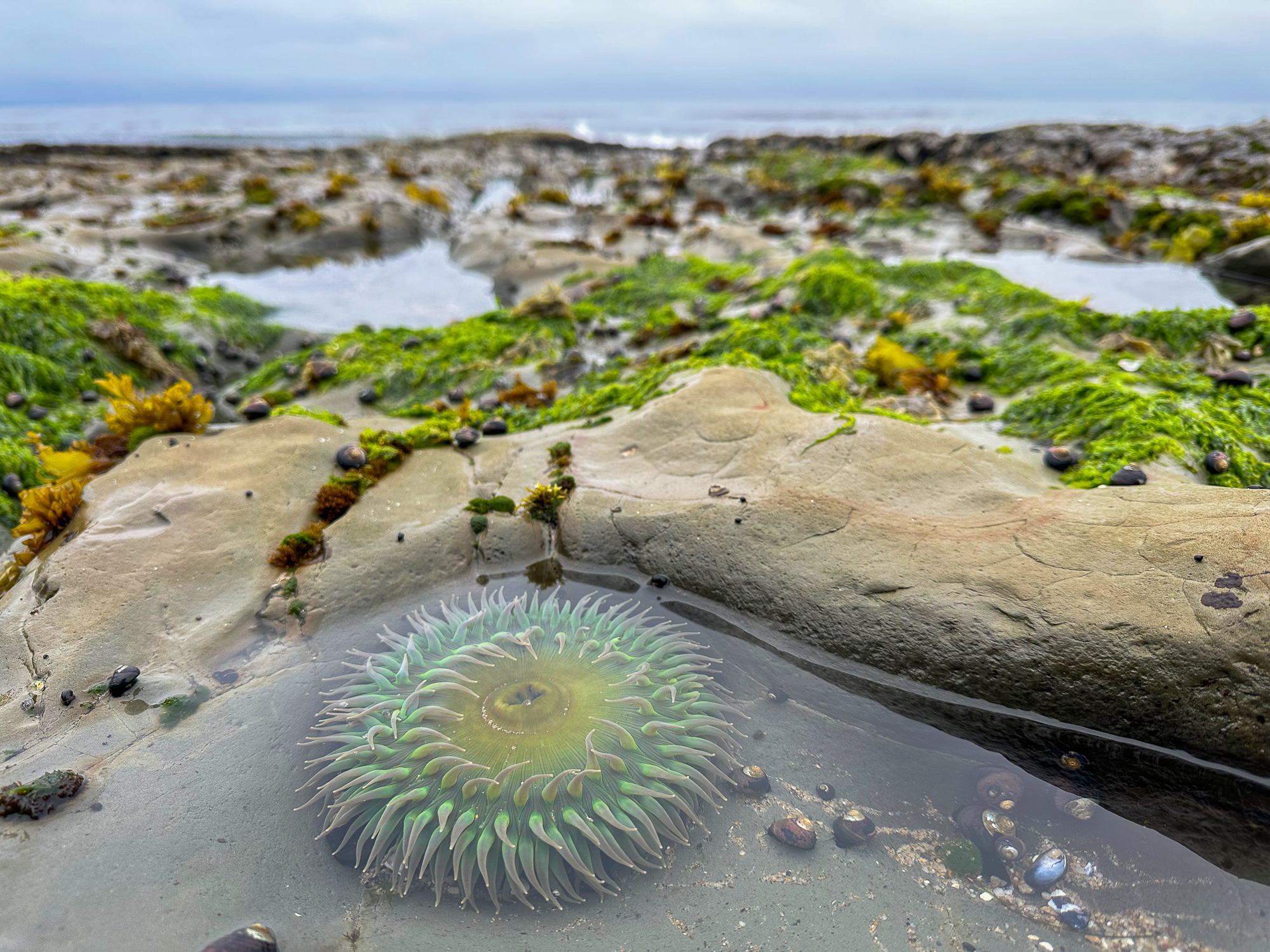
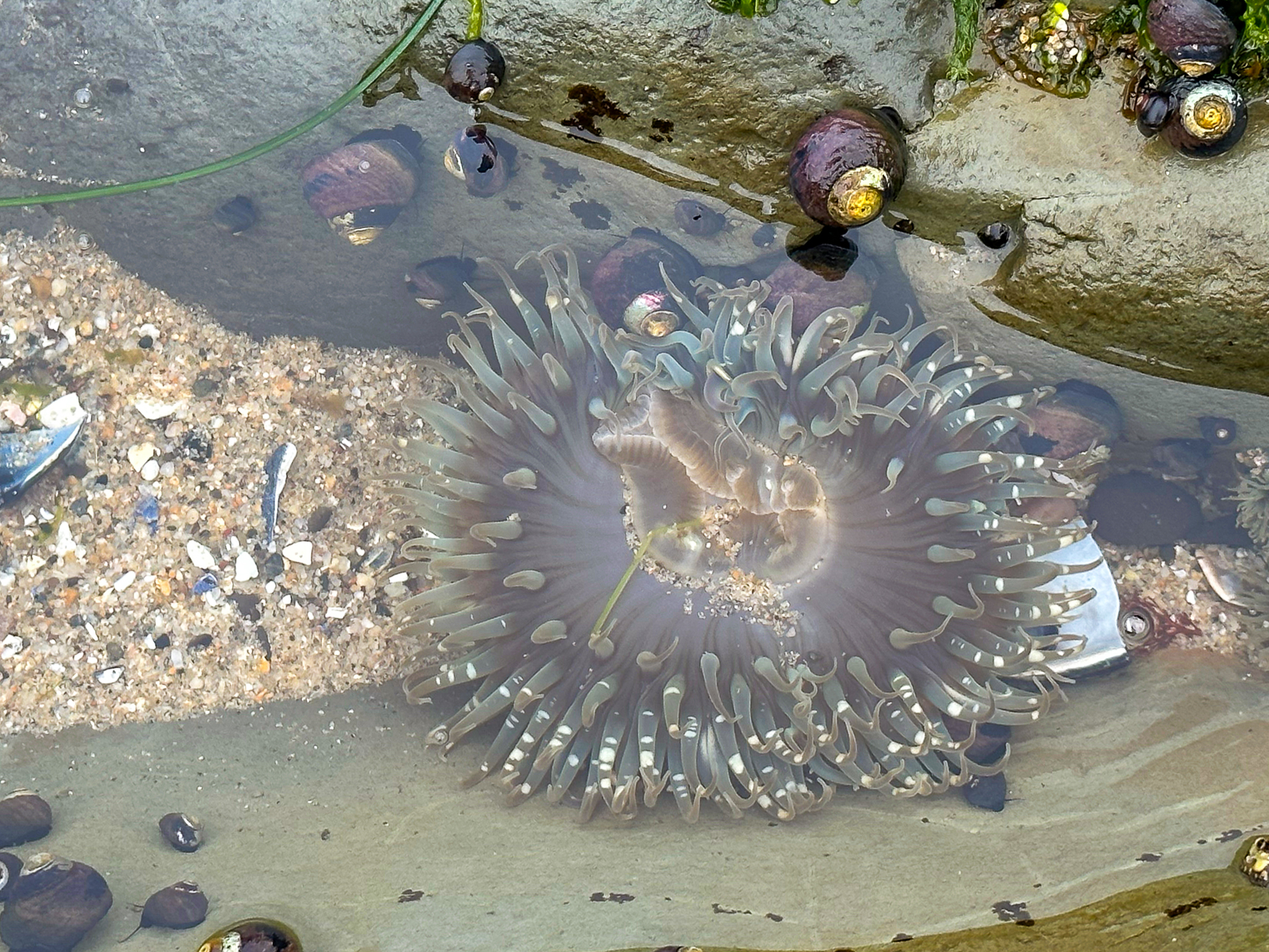
Anemones on the rocky shelf beside Natural Bridges State Beach

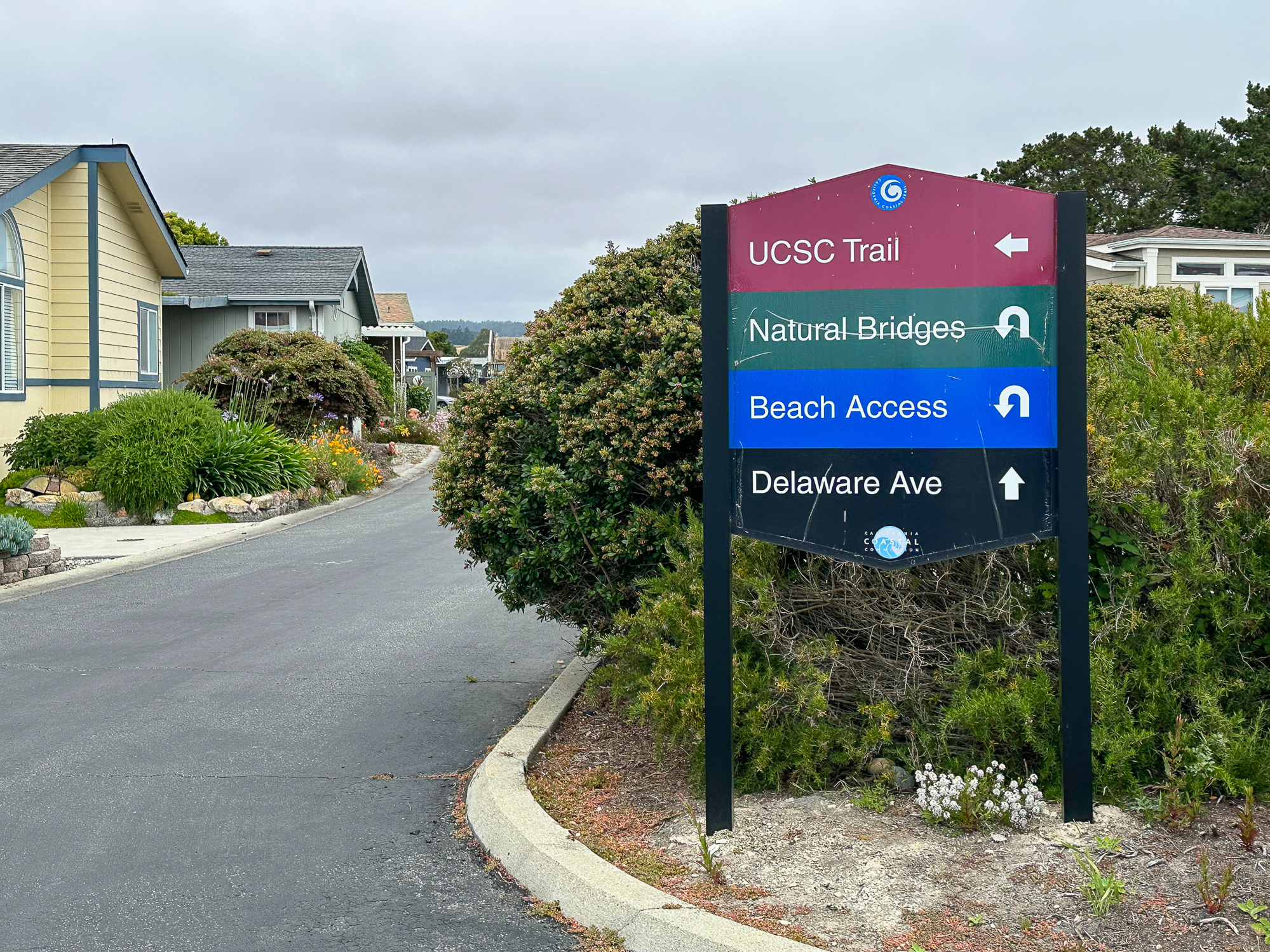
De Anza Community Tide Pooling
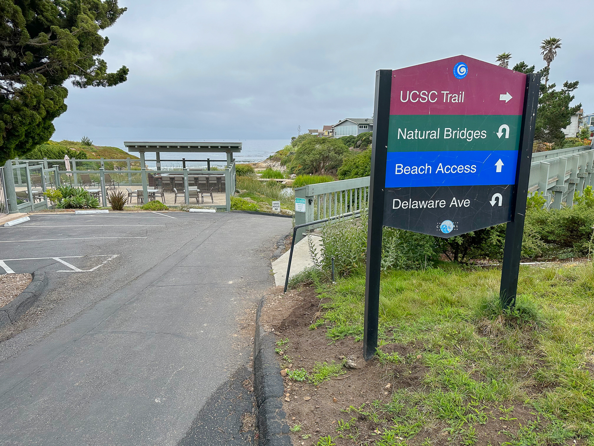
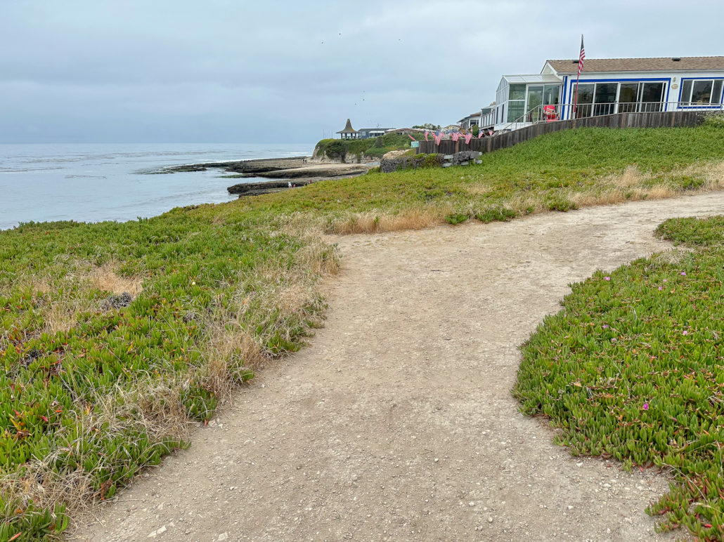
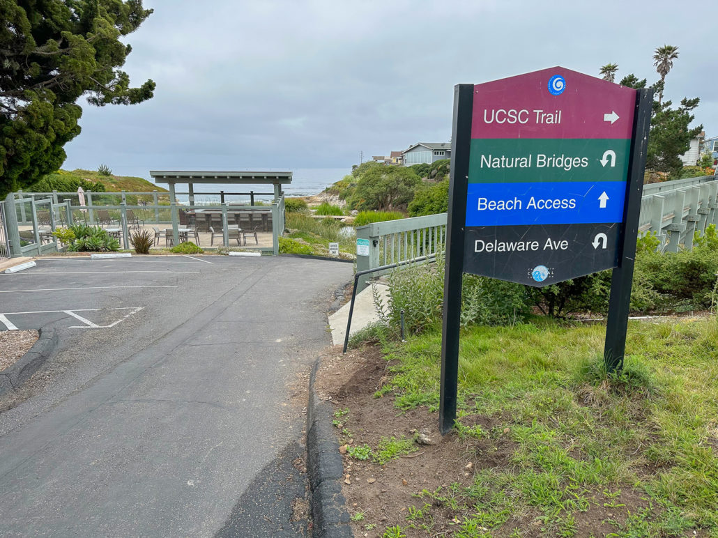
Arrive at the De Anza community gate and pass through it onto Krister Place. At the end of the road, turn right on Cascade Drive and follow the blue Beach Access signs. Just past the community pool, turn left and continue following the blue Beach Access signs down a paved driveway to the beach.


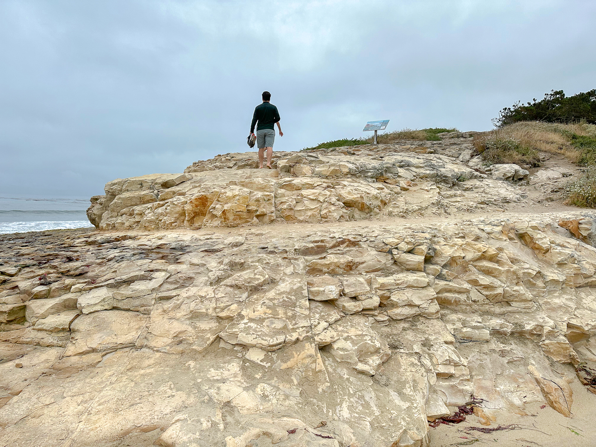
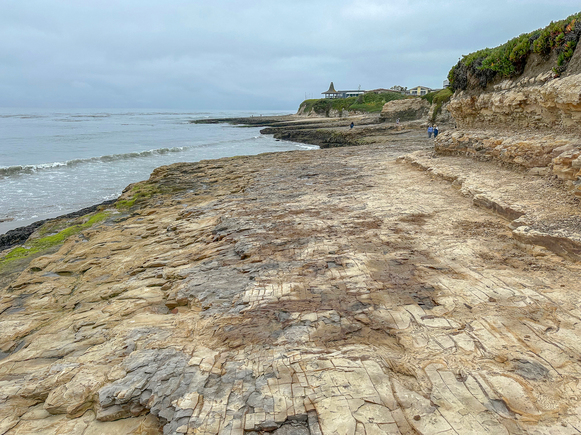
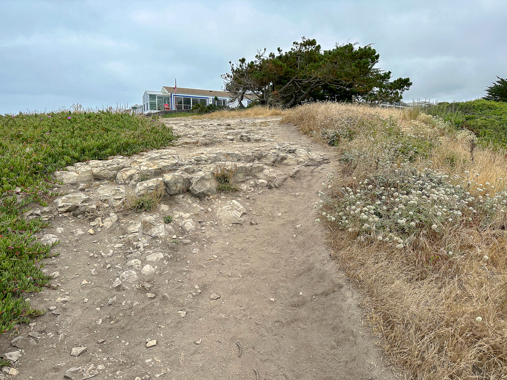
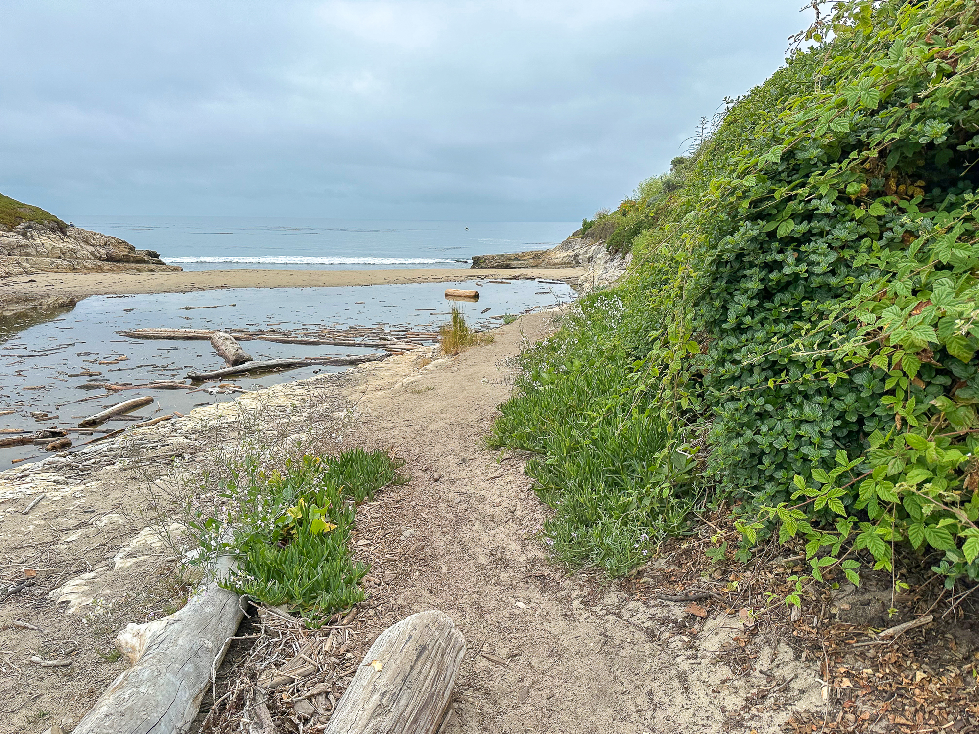
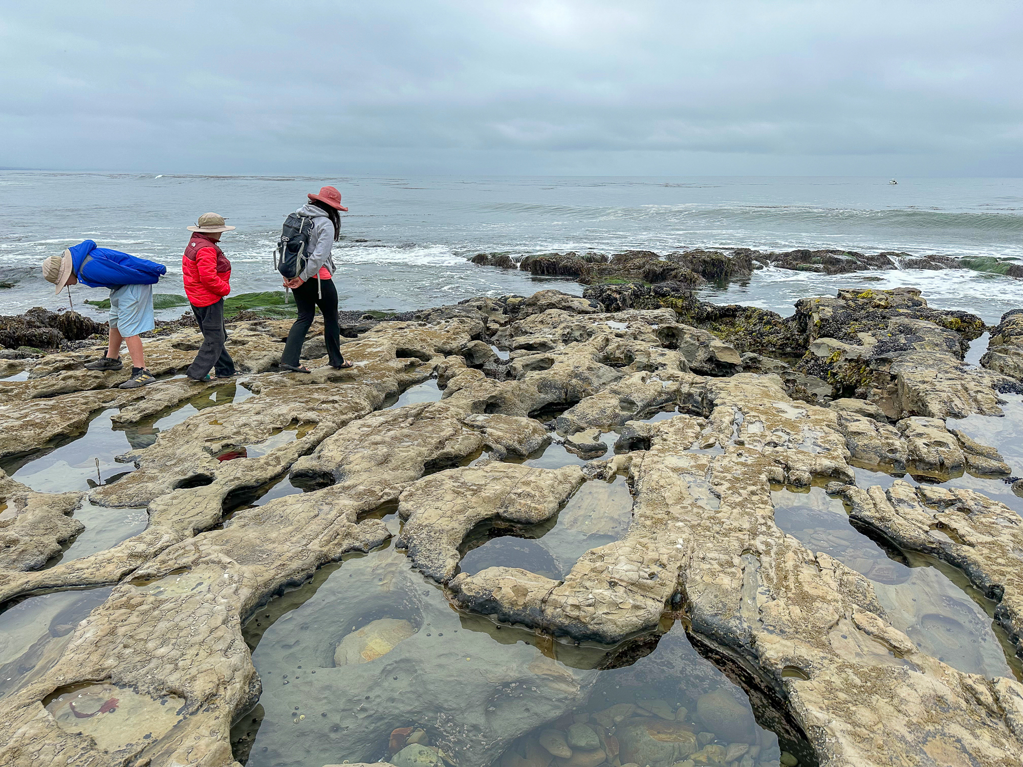
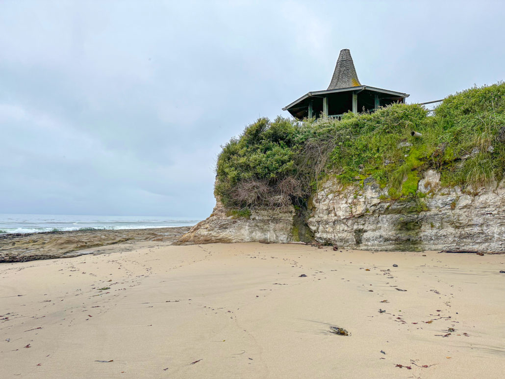
On the western side of the beach, find a narrow dirt trail and take it up the cliff. Pass under a gazebo to the wide rock shelves.

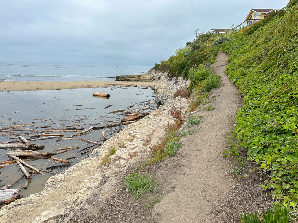

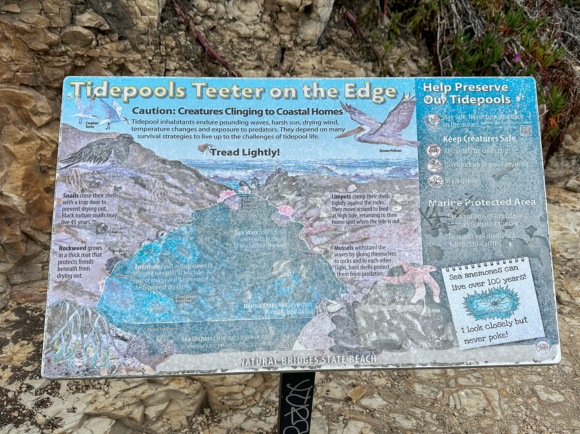
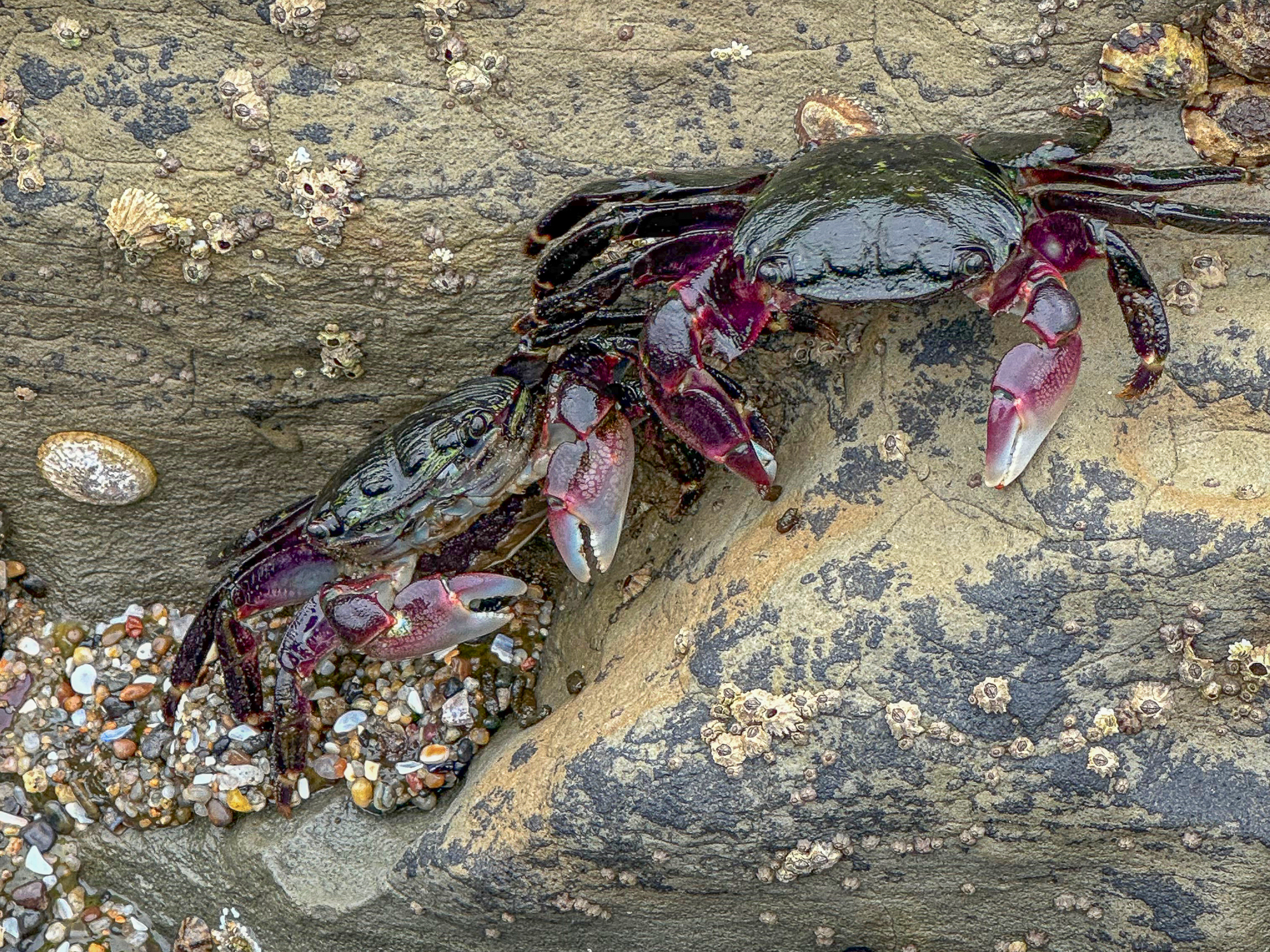
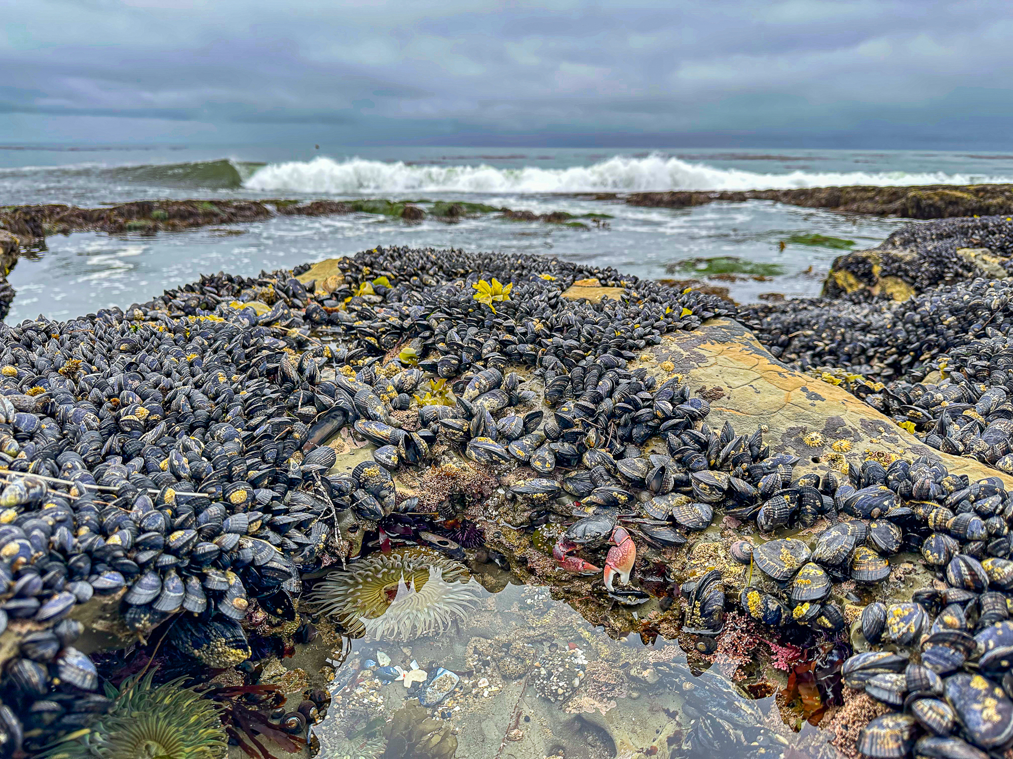
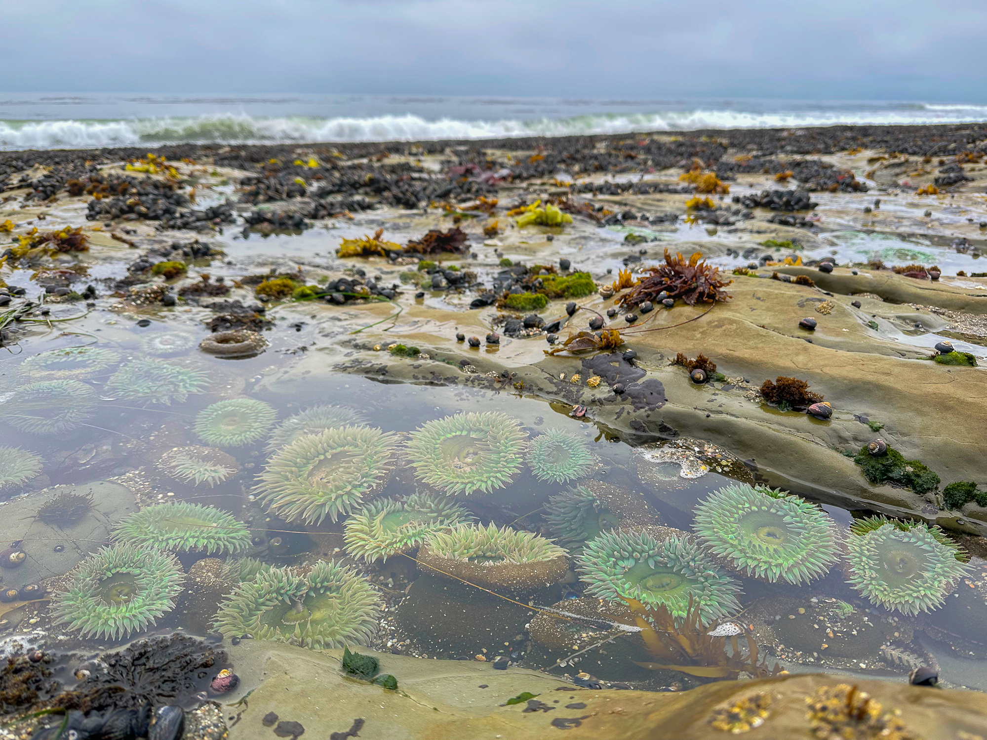
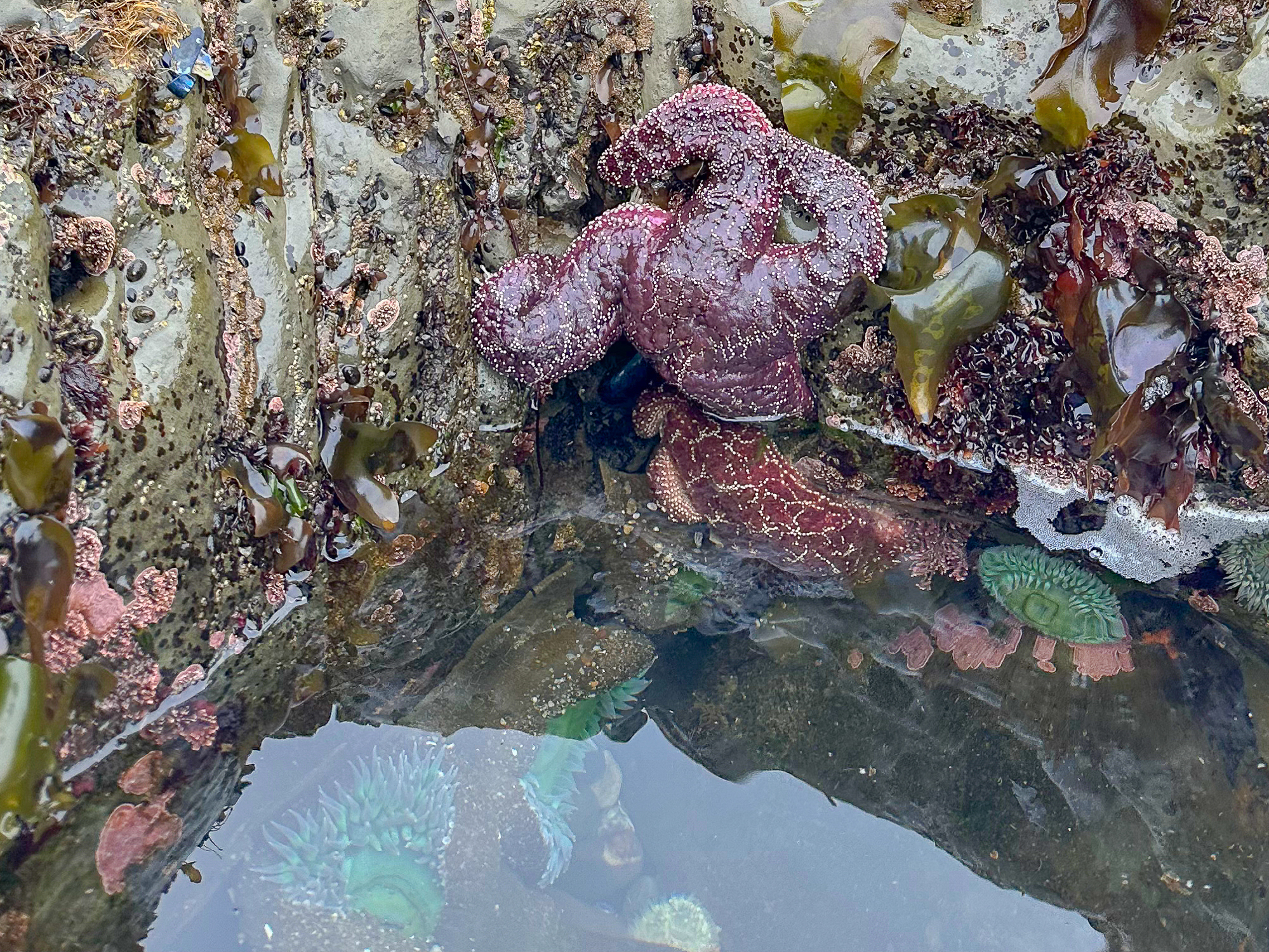
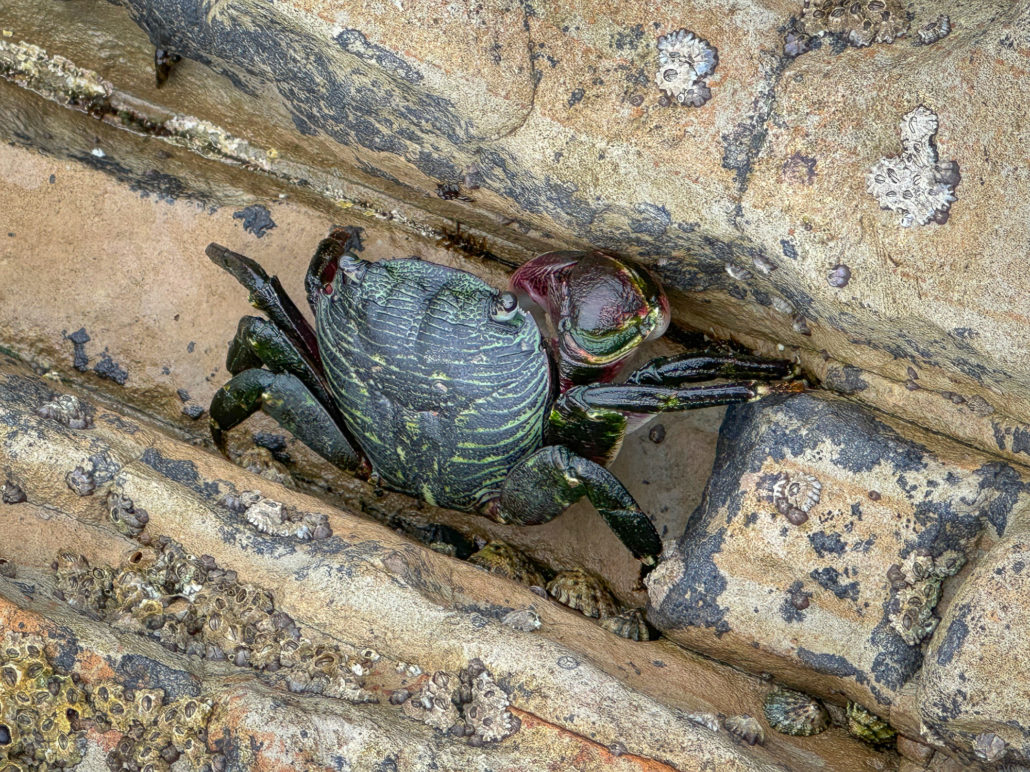
Hundreds of small pools dot the shelves at low tide, filled with green, blue, yellow, and purple anemones, scampering crabs, clinging mussels and limpets, and purple and red sea stars. Please take care where you step, for your safety and to protect the fragile sea life clinging to the rocks: a protected part of the Monterey Bay National Marine Sanctuary.

Sandy channels break up the wide rock shelves. If you do decide to cross these channels, keep your eye on the tide to prevent getting stranded. When ready, retrace your steps back to the Natural Bridges Visitor Center.


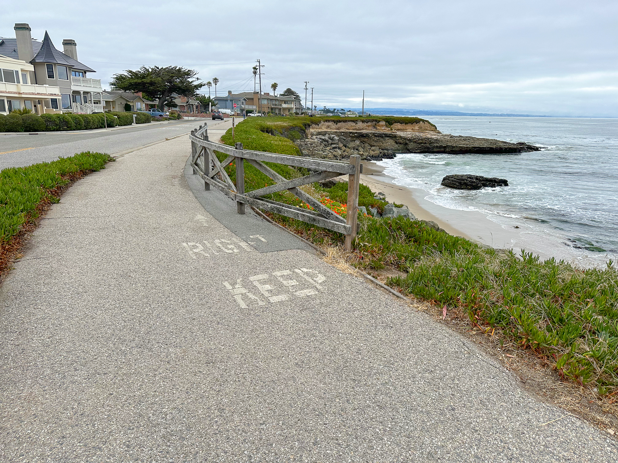
Extend the Hike
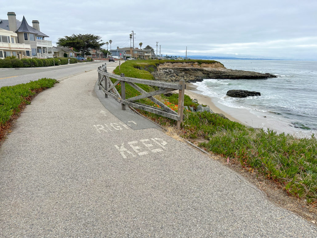
Lengthen your hike with an oceanside walk along West Cliff Drive. The dedicated sidewalk weaves east along the Santa Cruz shoreline past benches and overlooks. From Natural Bridges, it’s a 2.0-mile walk one way to Lighthouse Beach and a 3.0-mile walk one way to the Santa Cruz Wharf.
Resources
Tags: bay area, beach, Beaches, Monarch Butterflies, Monterey Bay, Natural Bridges, Natural Bridges State Beach, Pacific Ocean, Santa Cruz, Santa Cruz County, Tide pooling, tide pools, wildlife