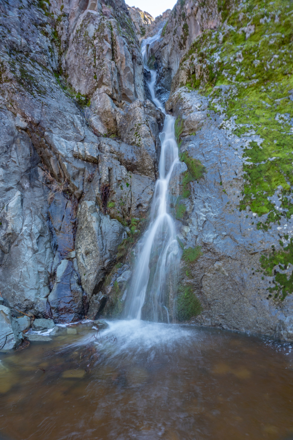
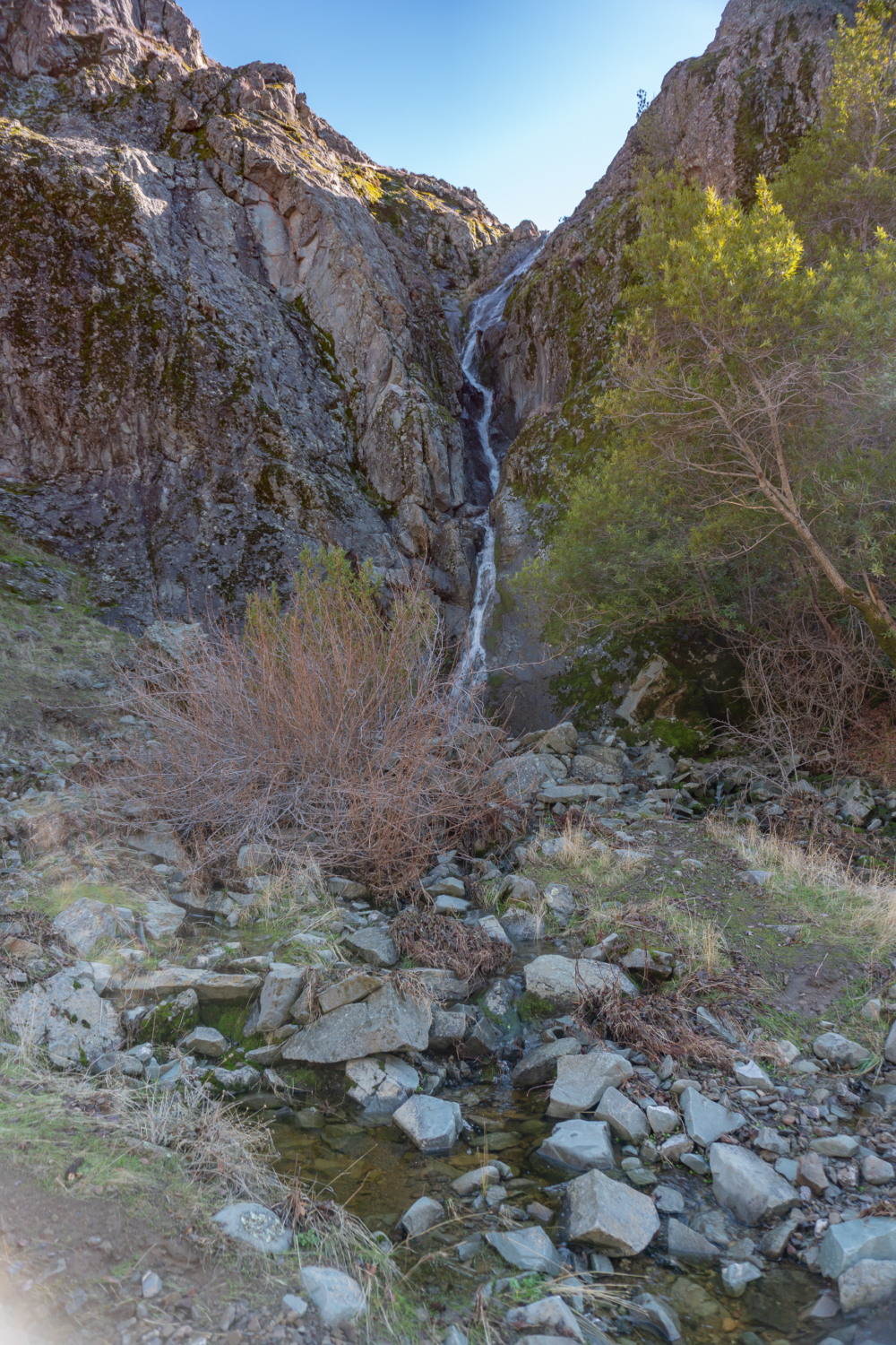
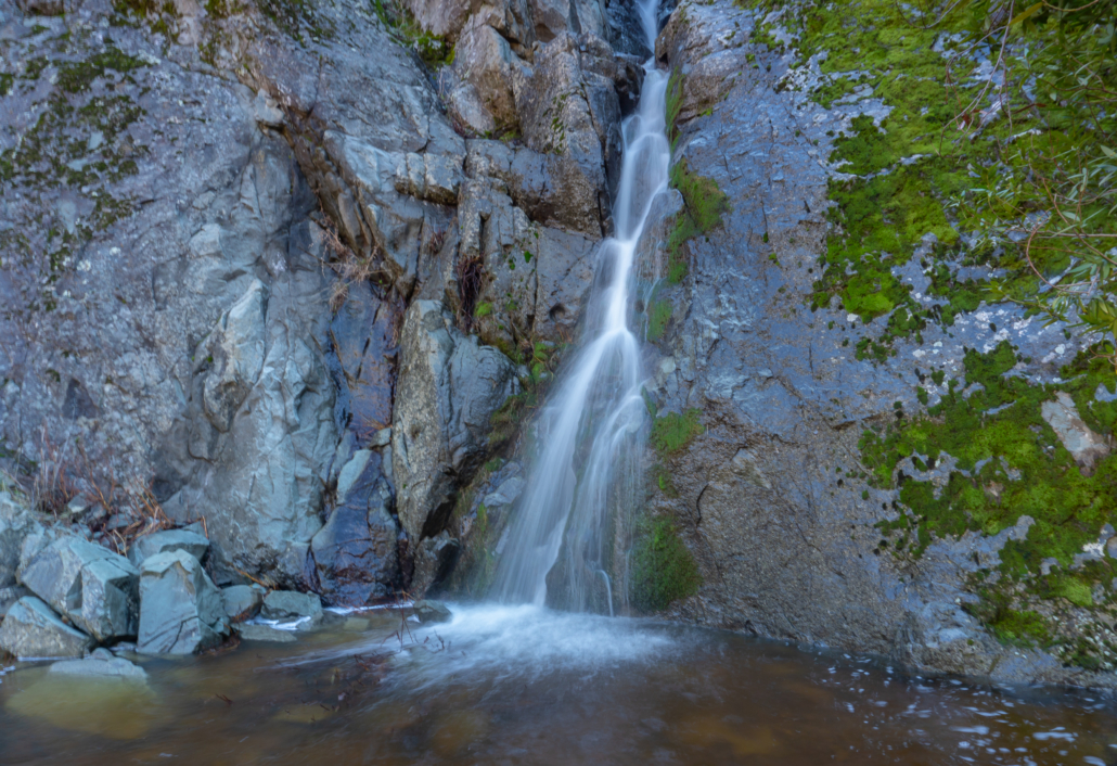
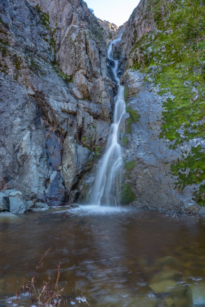
Murietta Falls, a 100-foot tall threadlike waterfall, skips down a corrugated rock wall into into a peaceful gulch with plentiful rocks for picnicking. The reward of this hike, besides the waterfall, is ambling through the sunny grasslands, oak woodlands, and riparian corridors of the Ohlone Regional Wilderness. It is really more like a quest: a test of endurance and stealth timing. Some hikers arrive disappointed to find a lackluster trickle or worse, bare rock. A good strategy is to wait for several days of stormy rains and then give it a go. By late spring, the window typically closes.
Murietta Falls lies within the Ohlone Regional Wilderness, a 9,737-acre park only accessible by hikers or horseback riders. The East Bay Regional Park District manages the park and administers the camping permits for the 28-mile Ohlone Regional Wilderness Trail. That trail, which you follow for the majority of the hike to Murietta Falls, extends west to east beginning at the Stanford Avenue trailhead in Mission Peak Regional Preserve, continuing through Sunol Regional Wilderness and Ohlone Regional Wilderness, and finishing at Lake Del Valle in Del Valle Regional Park.
As you hike southwest towards Murietta Falls from Del Valle Regional Park, you will climb two major ridges—Rocky Ridge and Rowell Ridge—that run nearly perpendicular to the trail. The hike’s 4,500-foot cumulative elevation gain takes into account every hill you climb throughout the hike. The alternative measure is net gain, which measures the difference between the highest point on the trail and the lowest point.

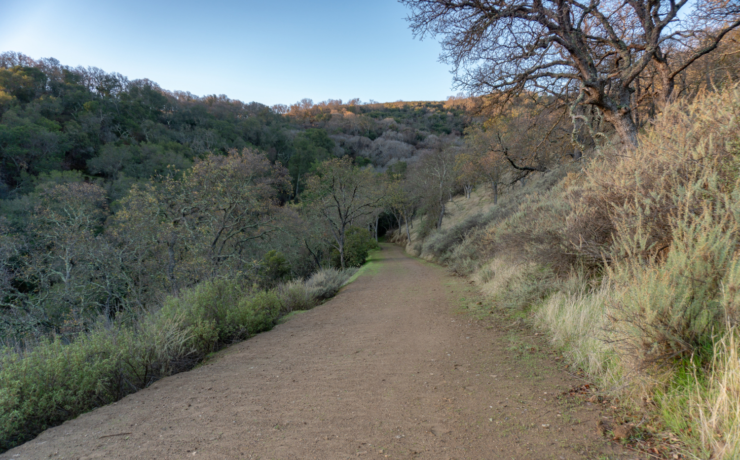
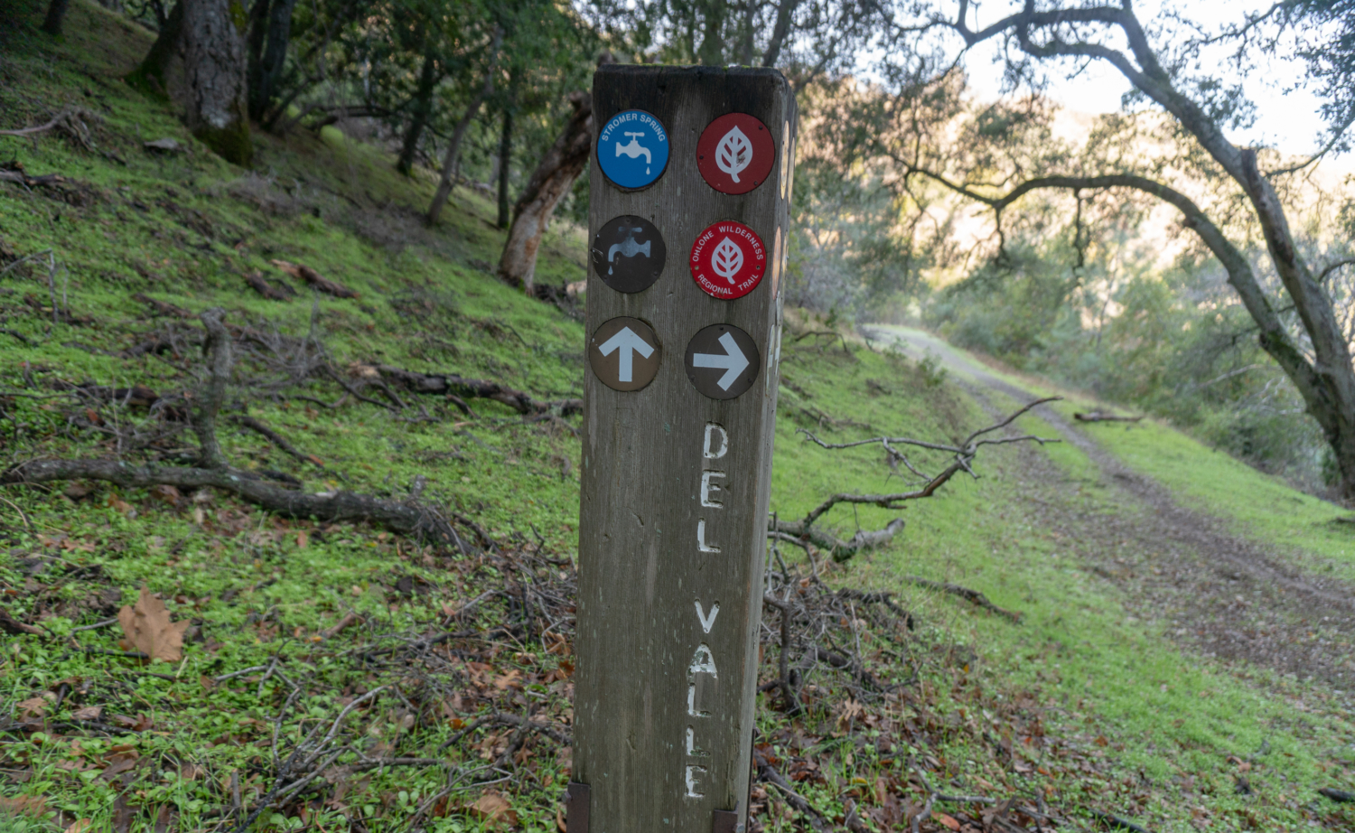
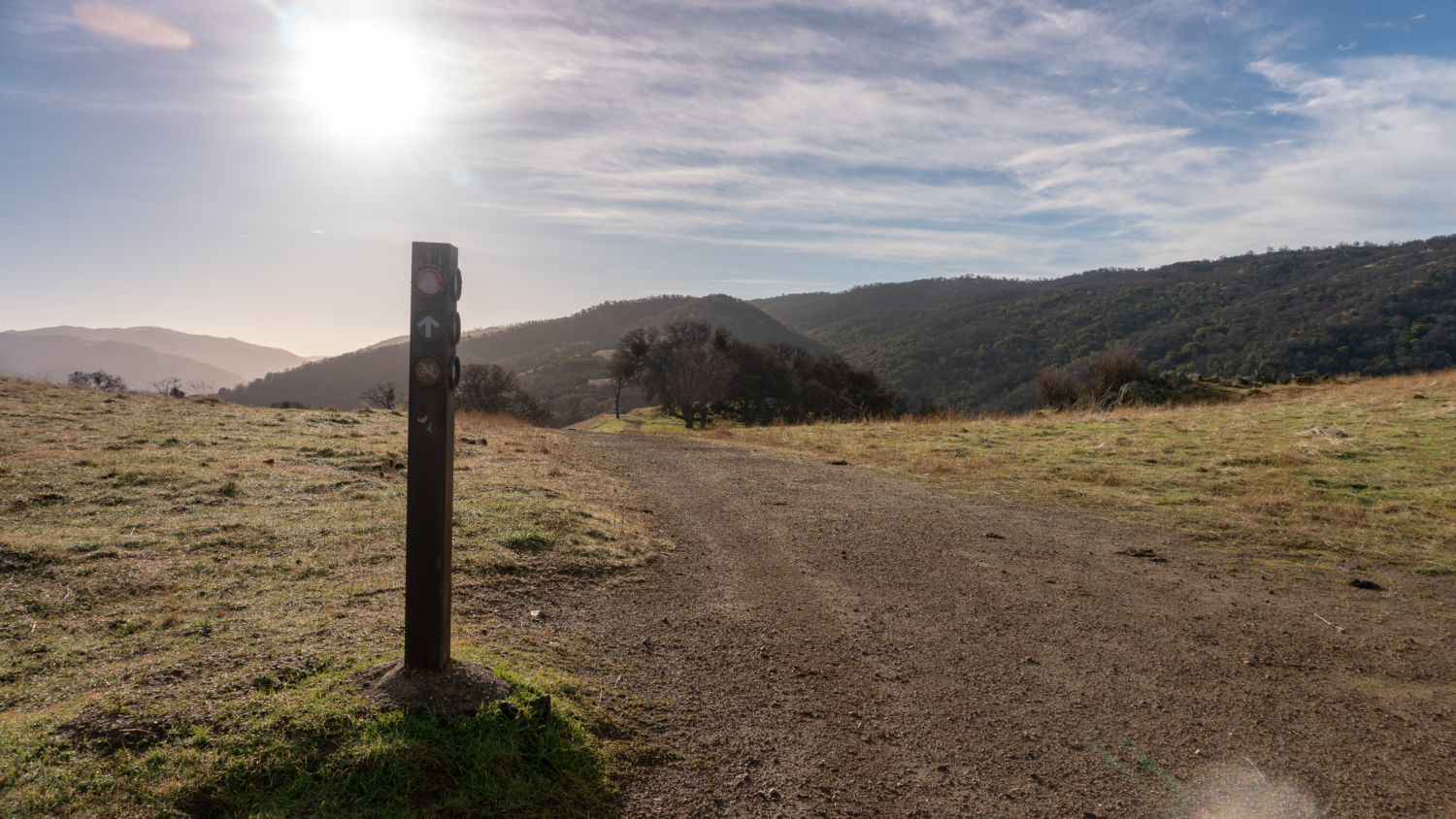
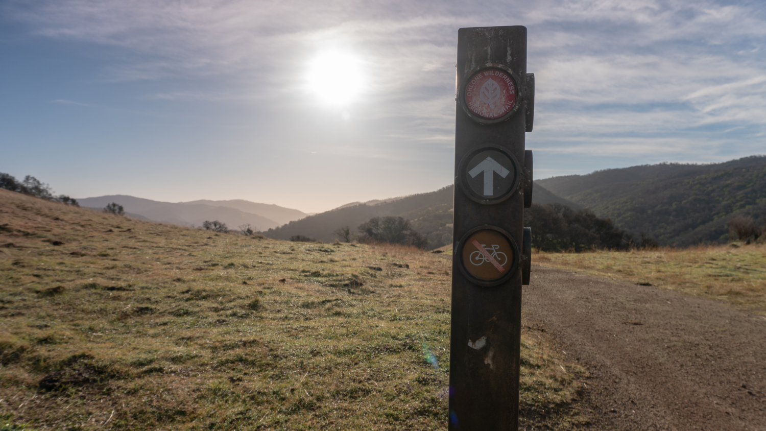
Trails are well signed throughout the hike, with the exception of the final spur for Murietta Falls. Signposts with red discs mark the Ohlone Regional Wilderness Trail for the first 5.3 miles. After that, you leave Ohlone Regional Wilderness Trail behind and hike just under a mile to Murietta Falls.
A word of caution: your hike through the Ohlone Regional Wilderness will likely create some serious stoke for completing the entire 28-mile Ohlone Regional Wilderness Trail and its crown jewel, Rose Peak, which is just 32 feet shorter than Mount Diablo. It sure did for me. You can learn more about it on the East Bay Regional Park District’s website.
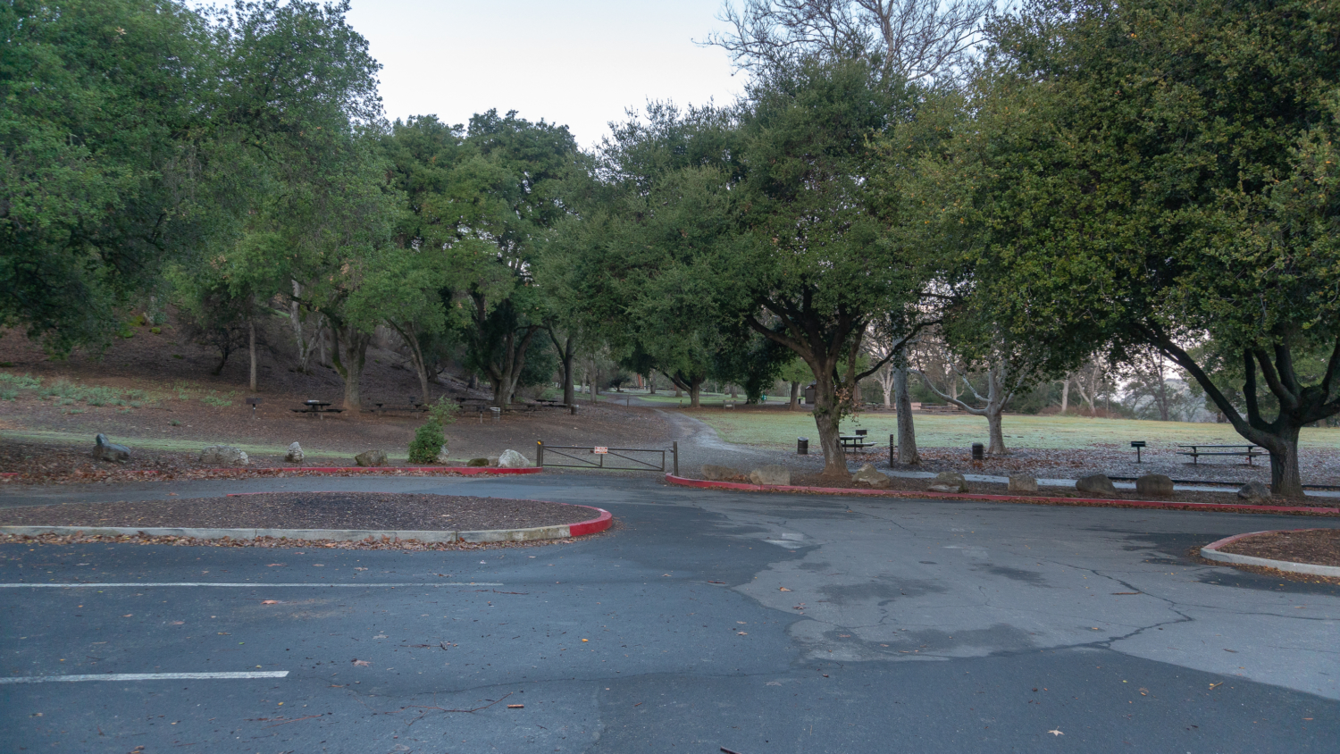
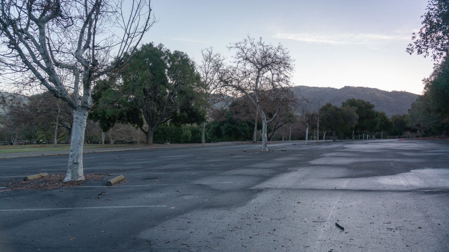
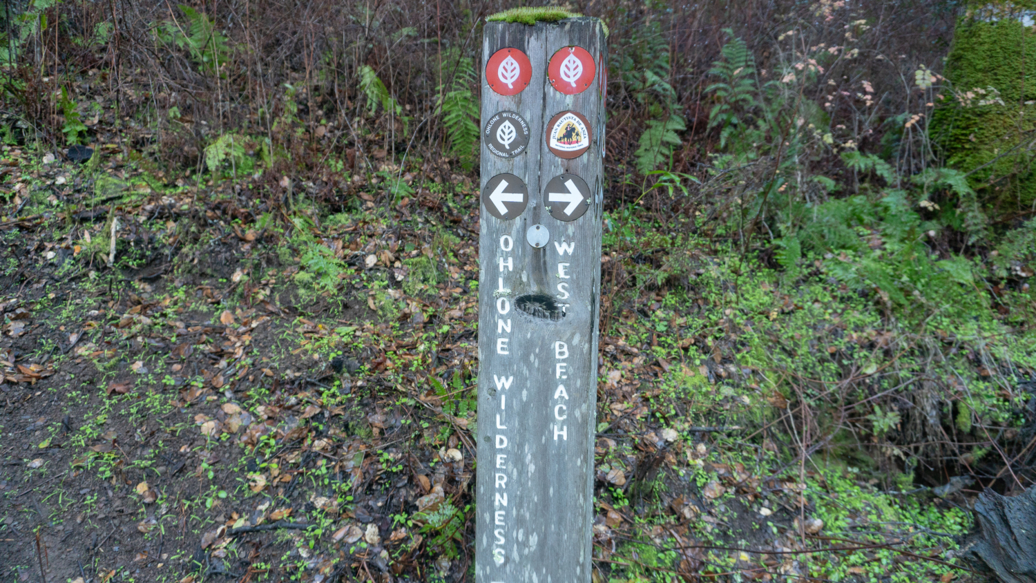
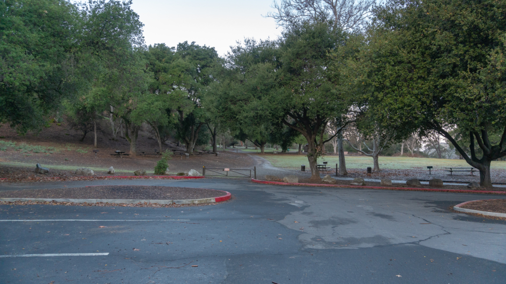
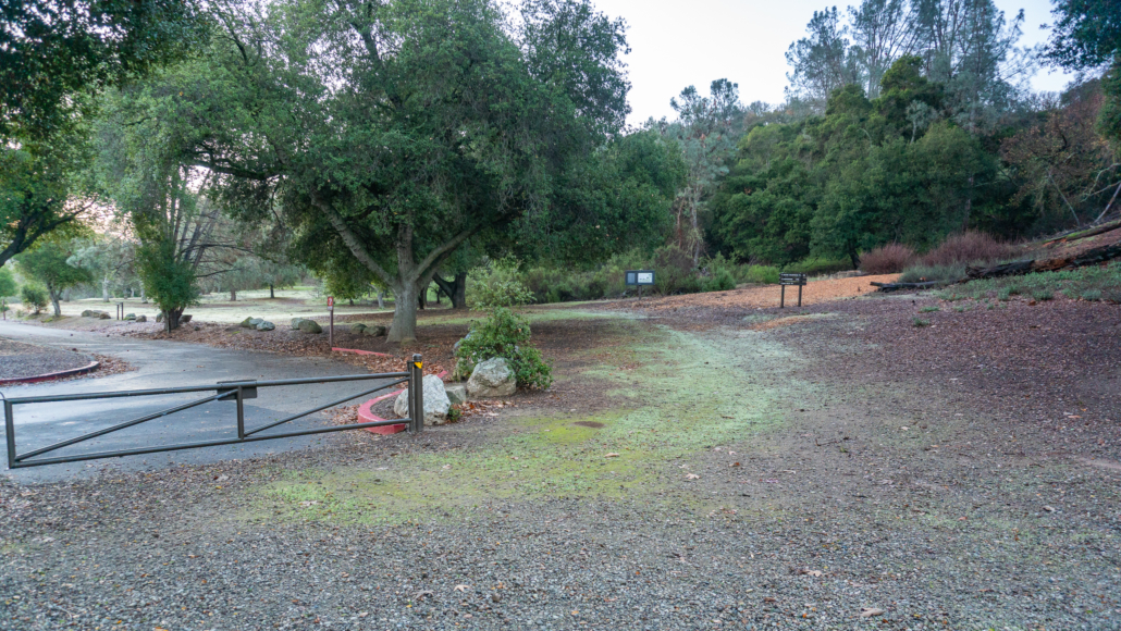
Begin at the northwestern end of the parking lot near the Lichen Bark Picnic Area. West Beach, a designated swimming beach at Lake Del Valle, is to your right.
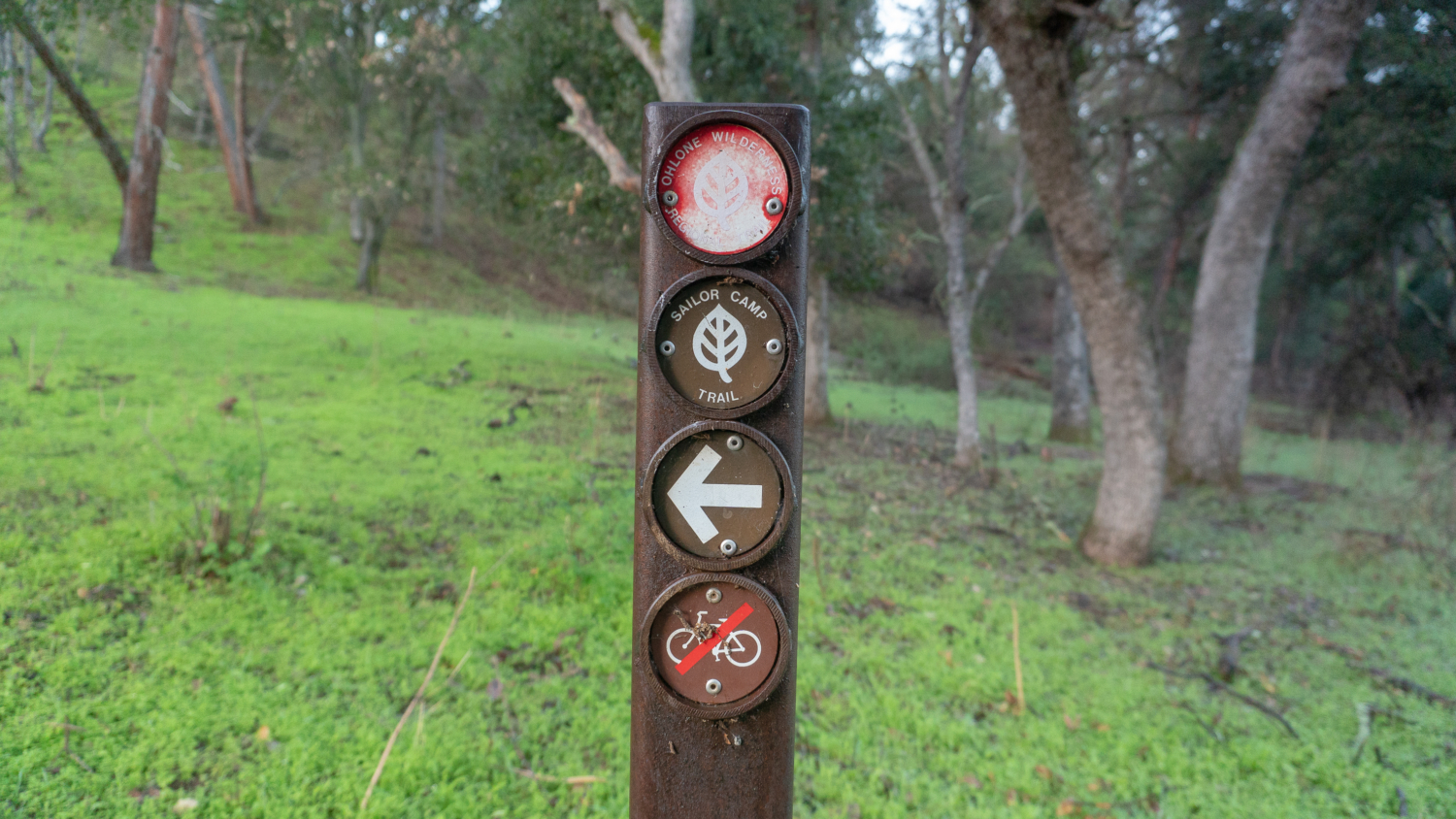
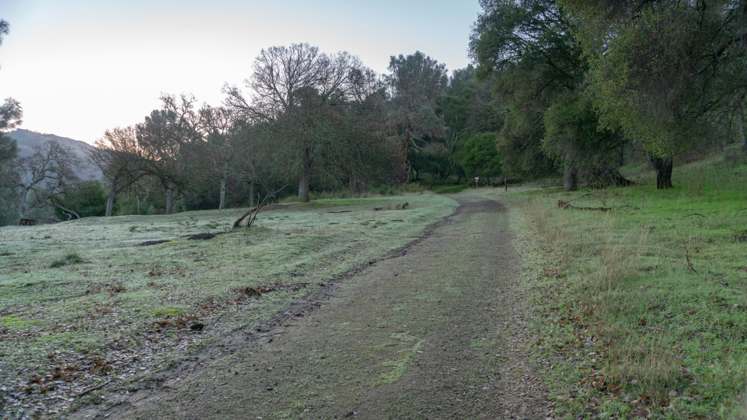
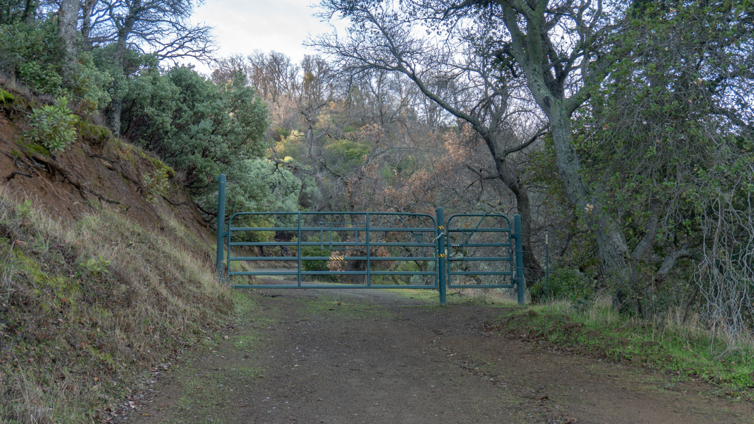
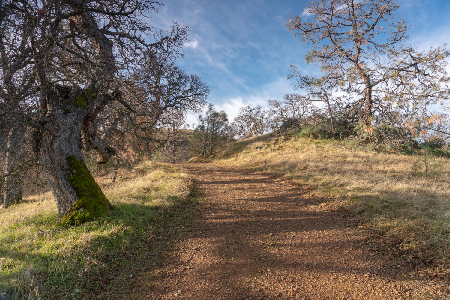
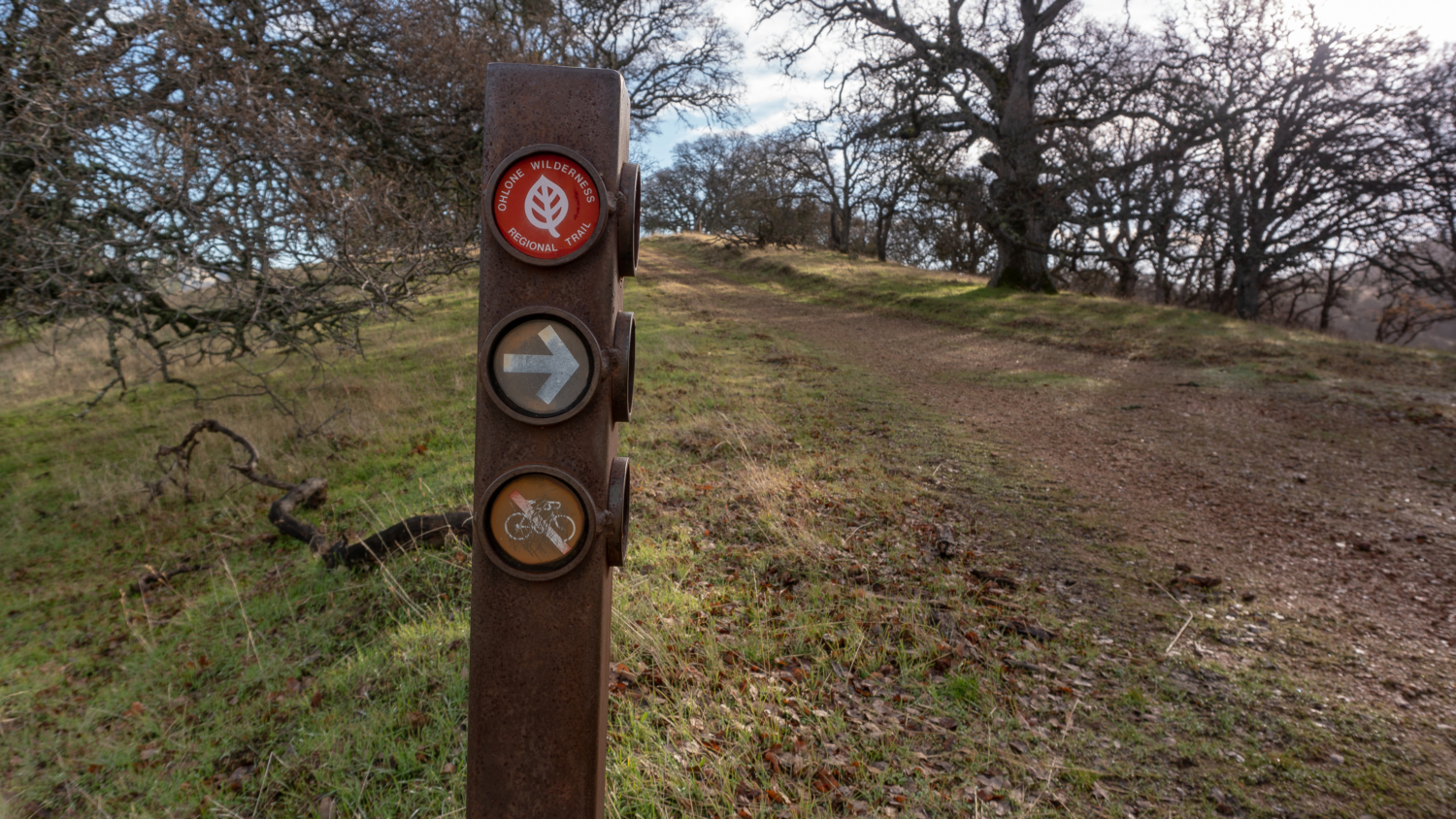
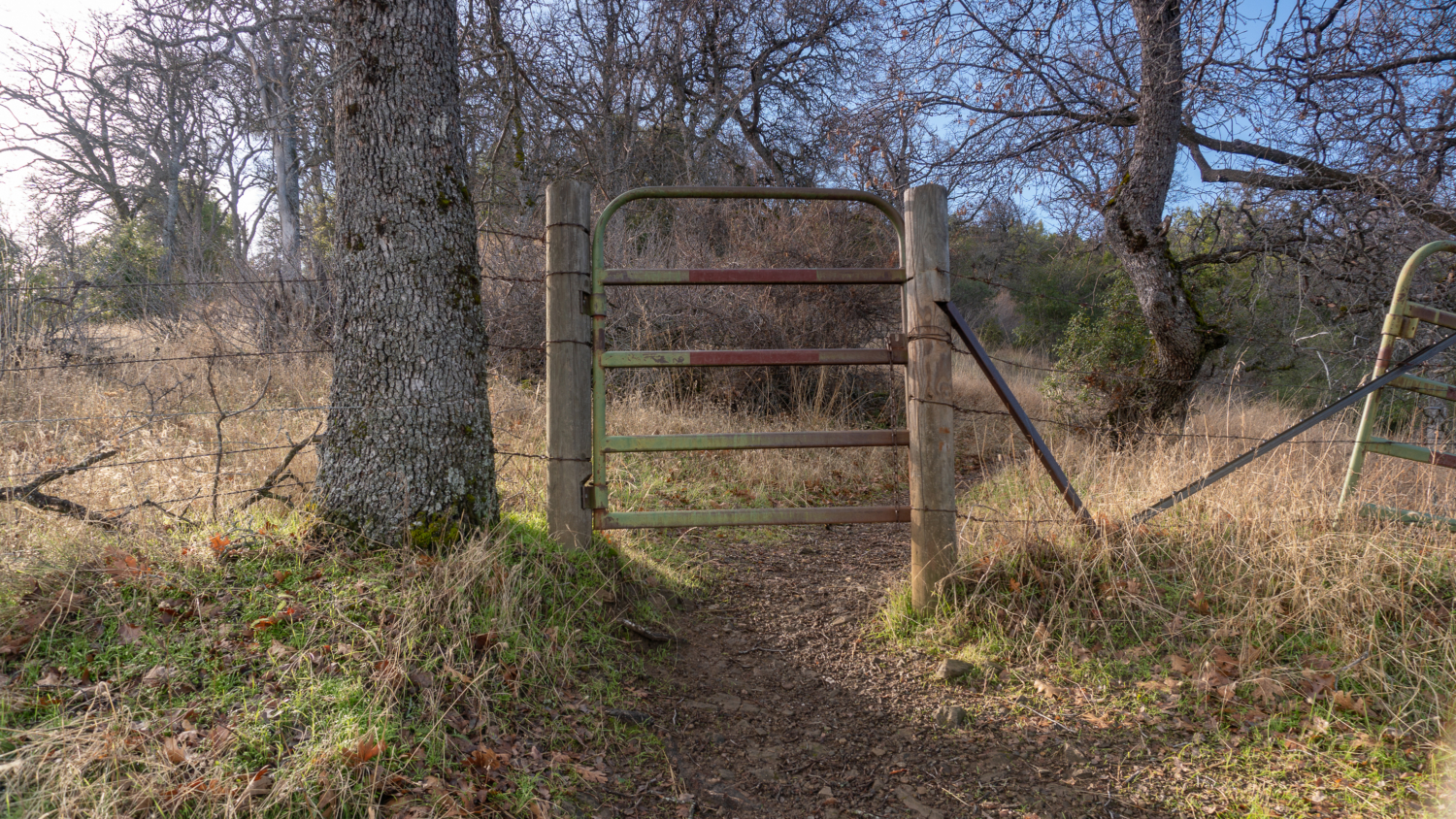
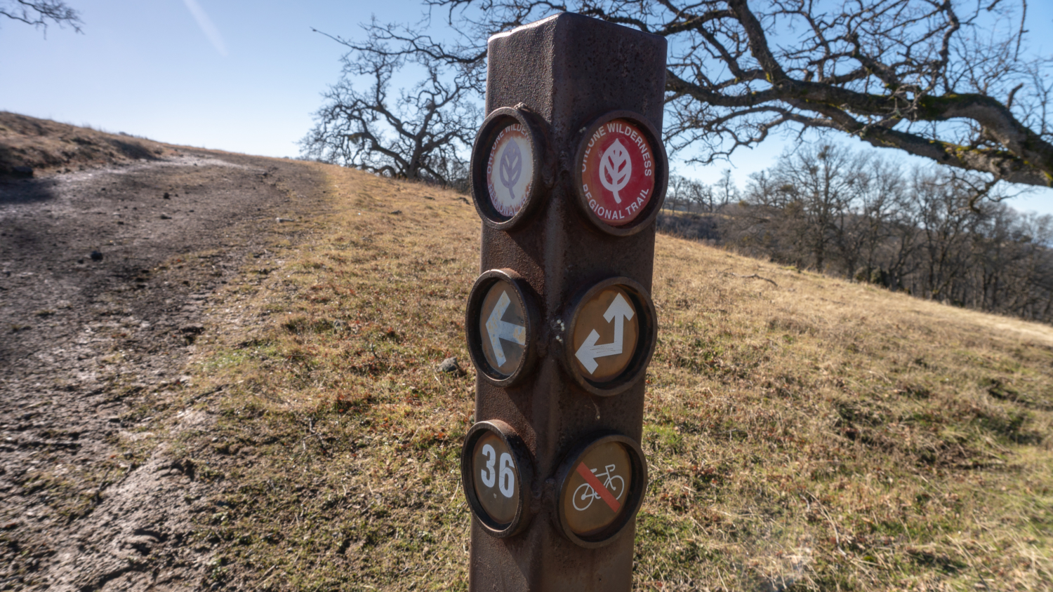
Pass the gate on the northwest end of the parking area and turn left, heading southwest on the faded Sailor Camp Trail beneath evergreen oaks. A signpost with a red disc indicates you are on the Ohlone Regional Wilderness Trail. These signposts are plentiful throughout the hike and at every junction on the Ohlone Regional Wilderness Trail, which you will stay on it for the next 5.3 miles towards Murietta Falls.

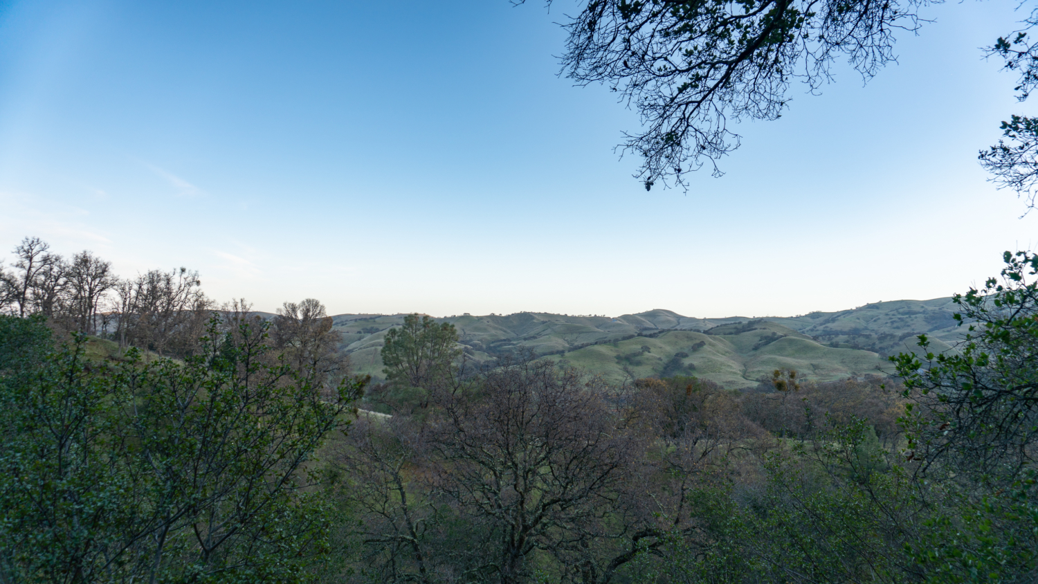
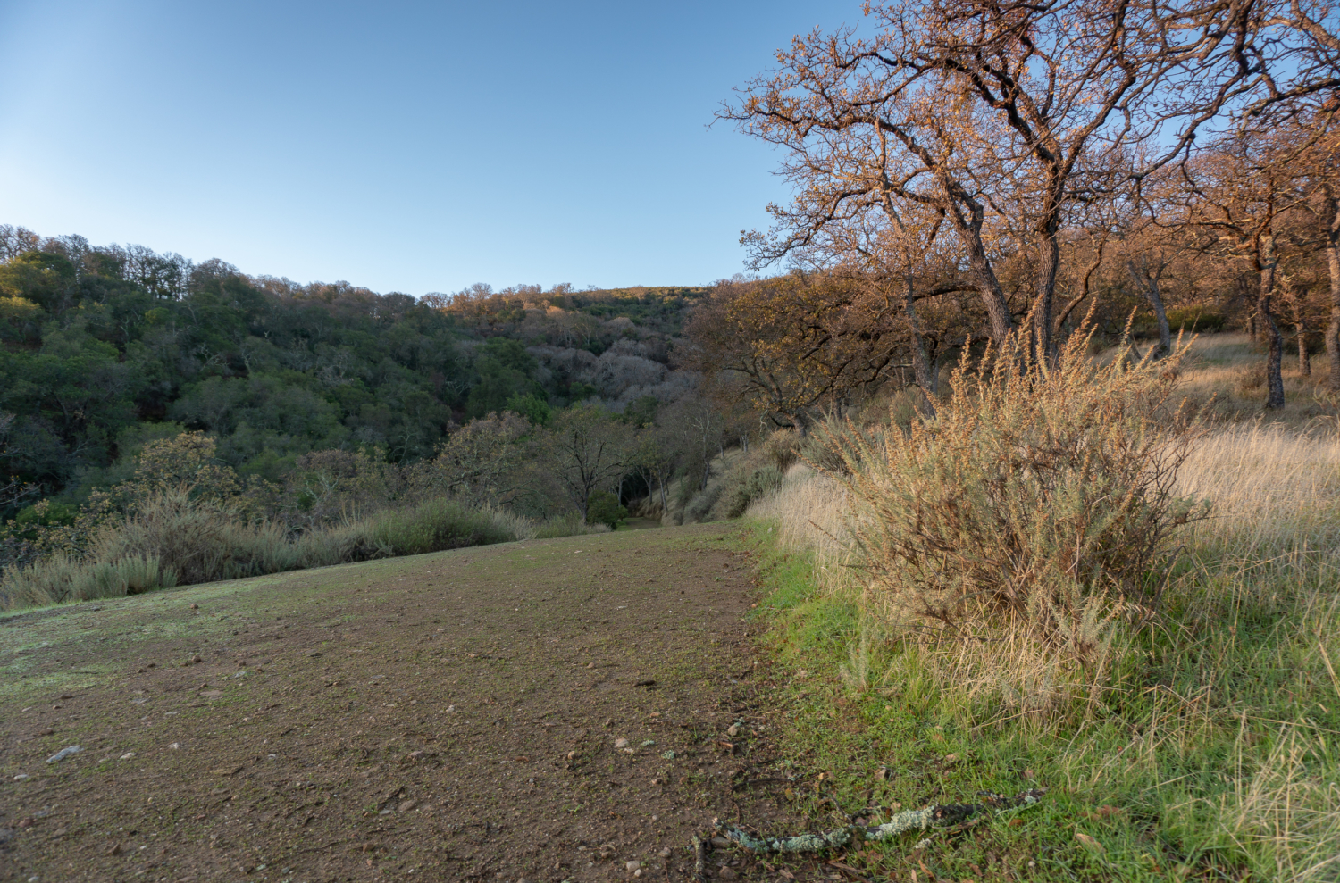
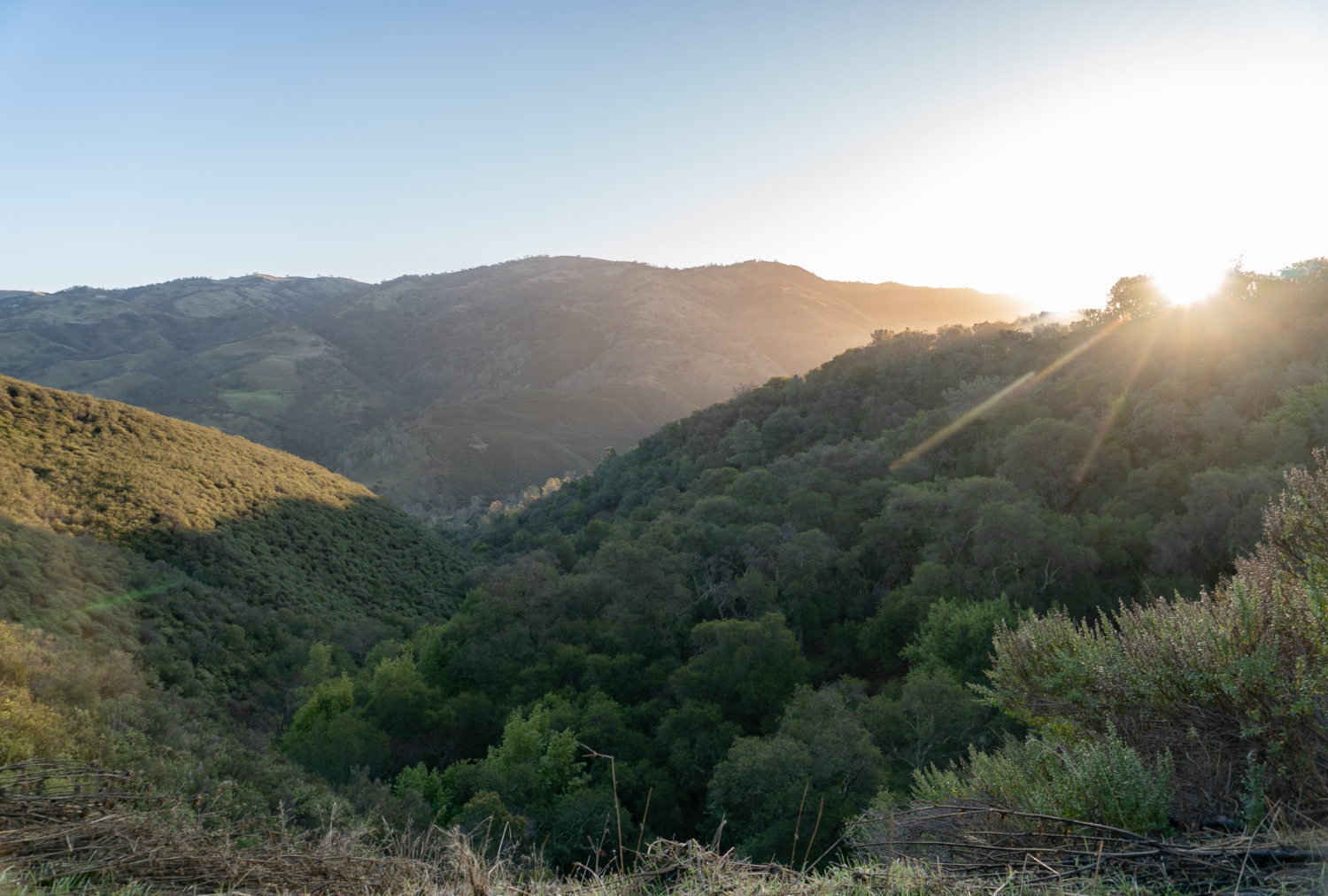
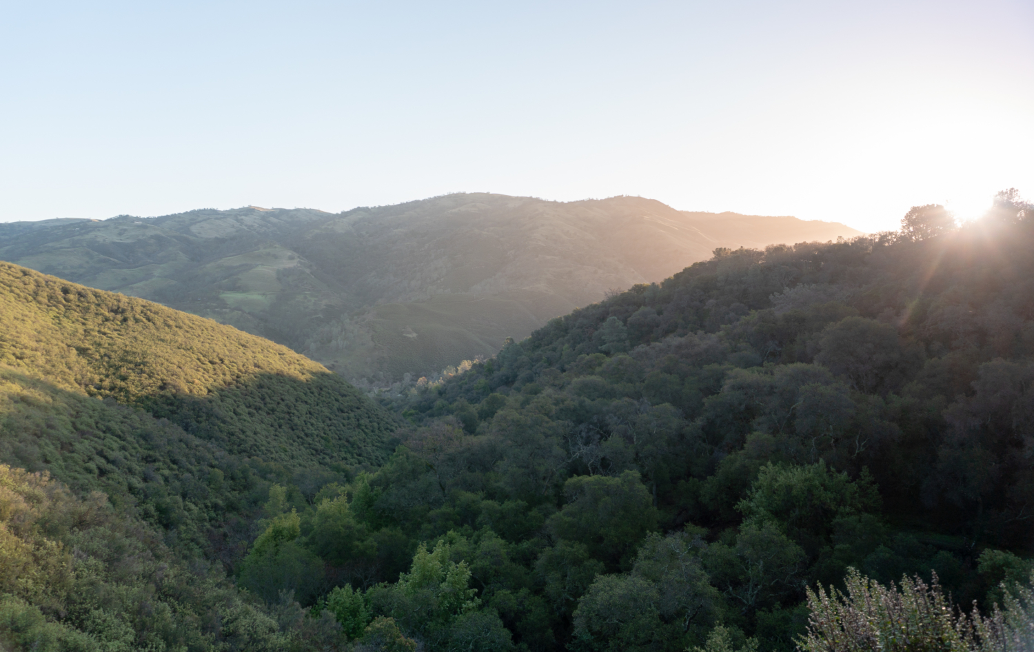
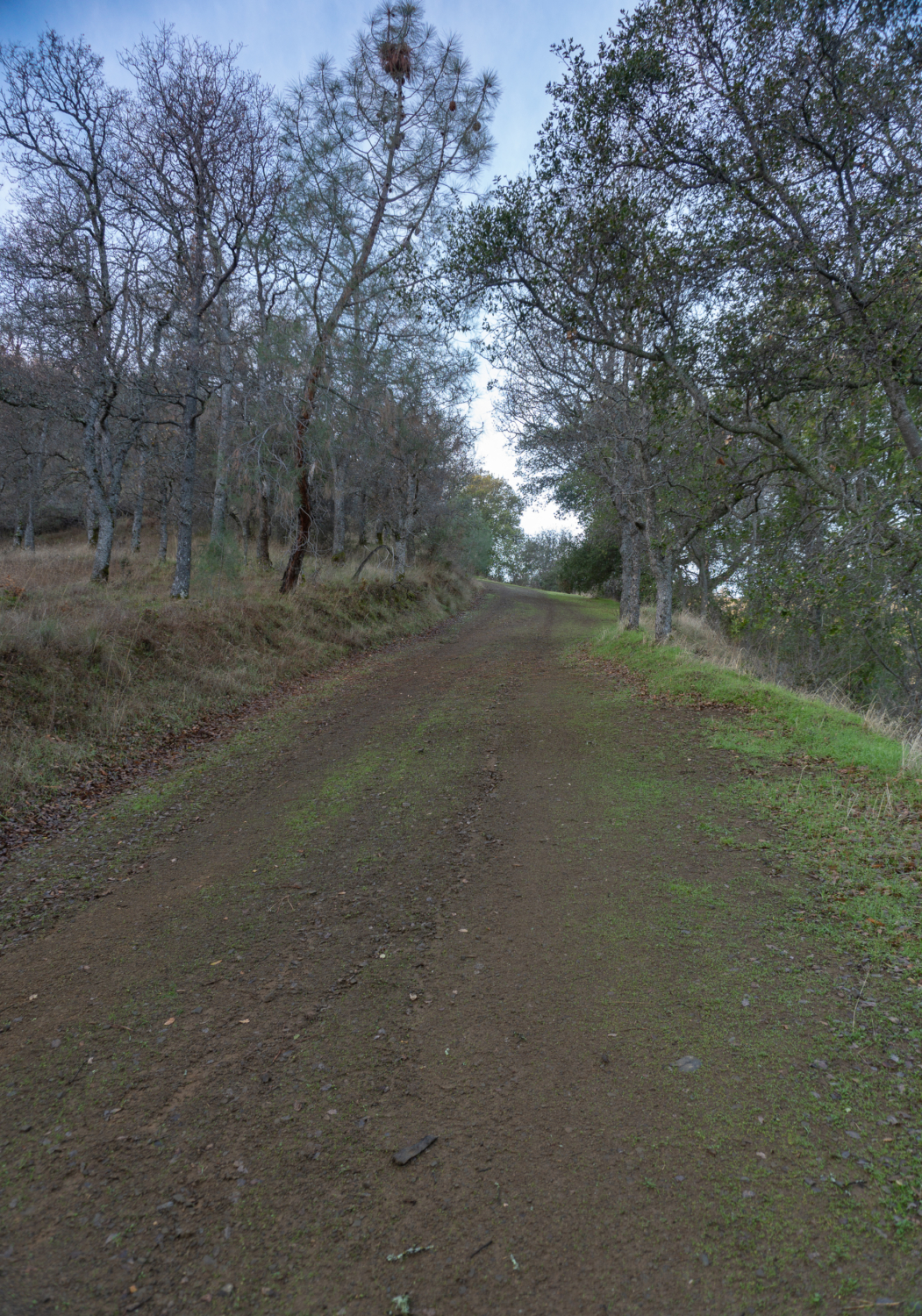
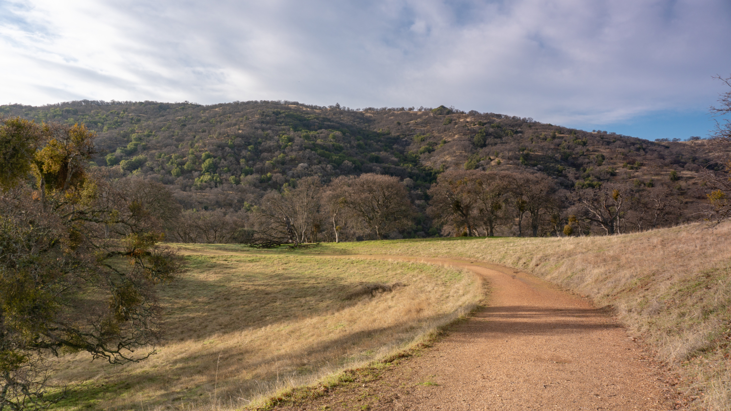
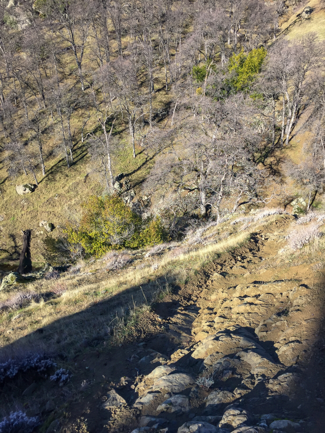
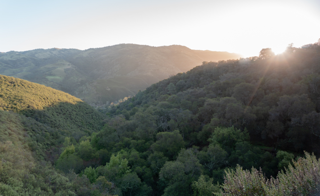
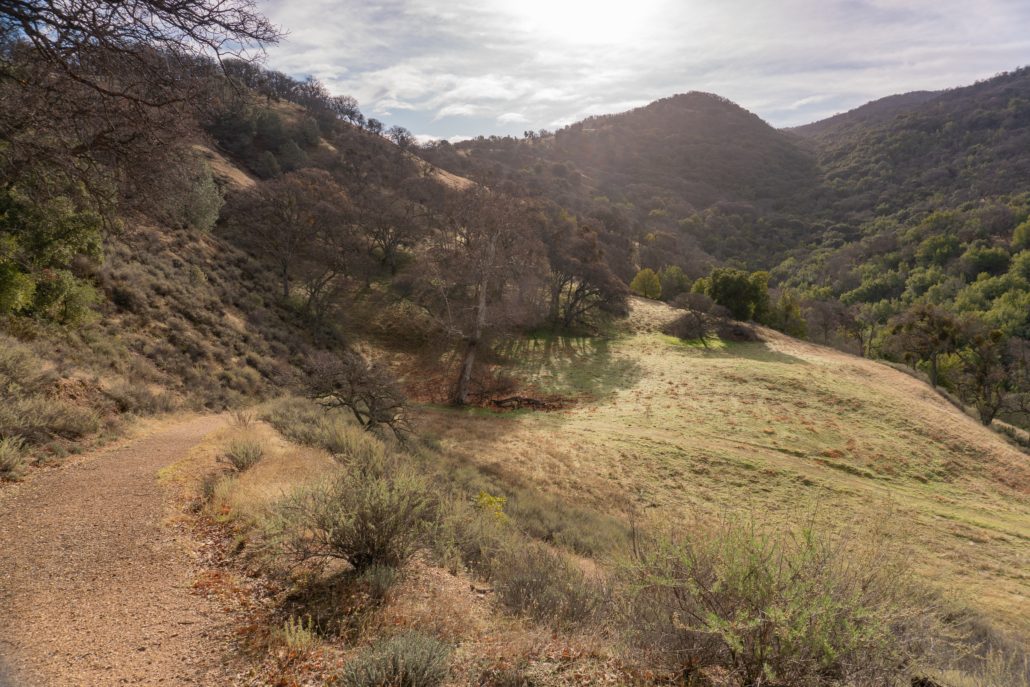
Climb up out of the valley, gaining 500 feet on the wide, rolling trail beside pine, ferns, and deciduous oaks. In the early morning light, the rolling ridges and deep green gulches are bathed in yellow.
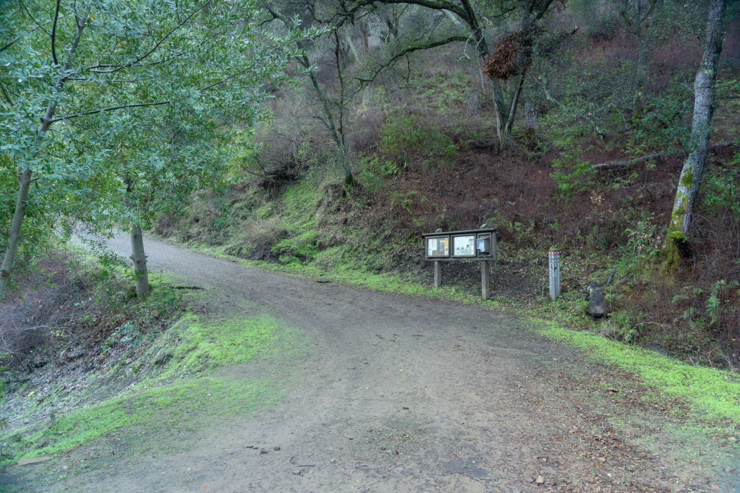
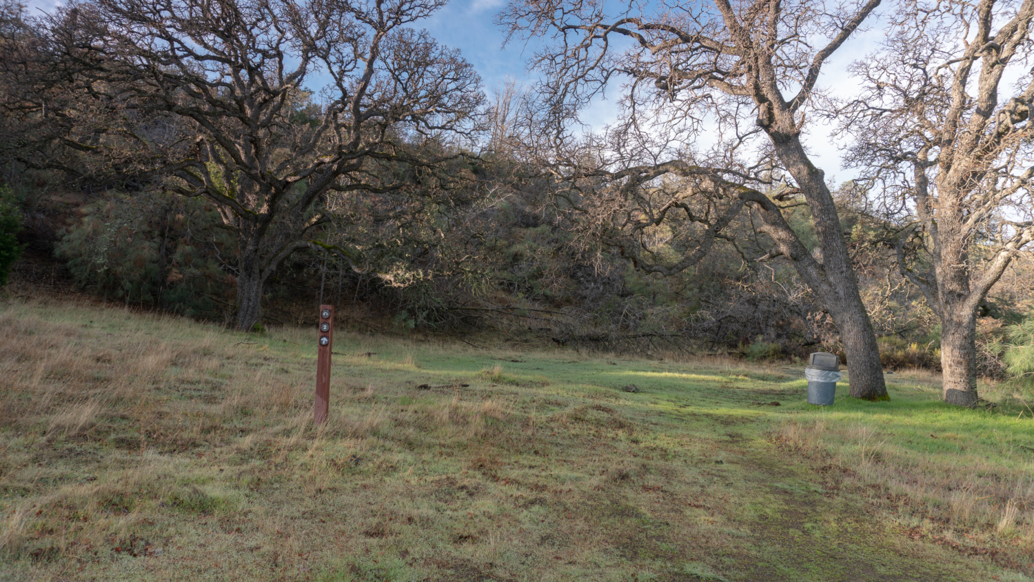
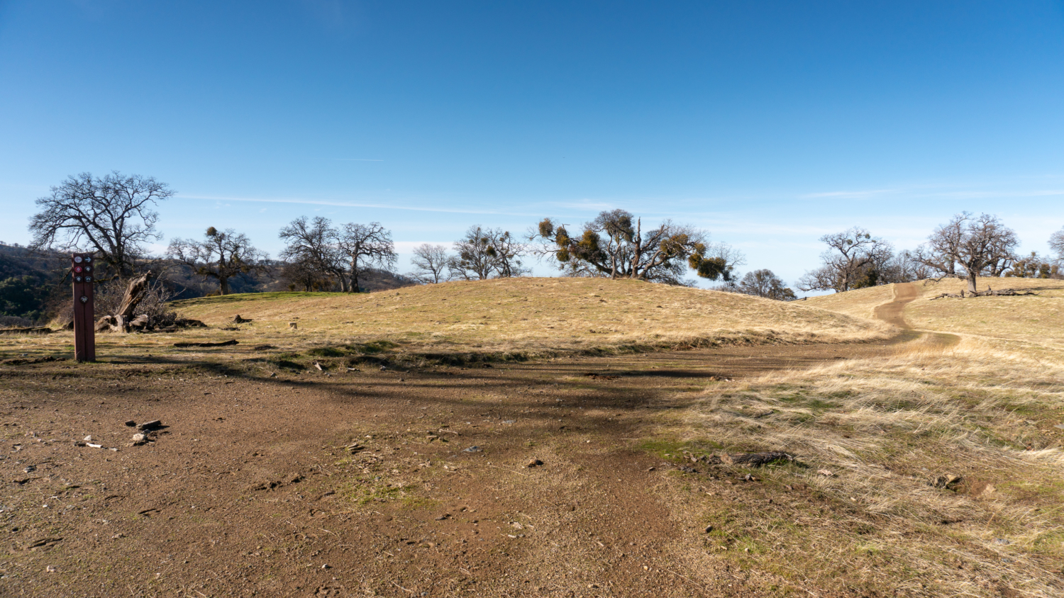
At the 1.0-mile mark, reach the Ohlone Trail Sign-in Panel where you fill out a hiker sign-in sheet and learn about hazards on the trail at the kiosk. Beyond this point, you need an Ohlone Regional Wilderness Trail permit for each hiker in your party age 12 and older. Across from the kiosk is the Vallecitos Trail, an alternative route for starting and finishing the Ohlone Regional Wilderness Trail.

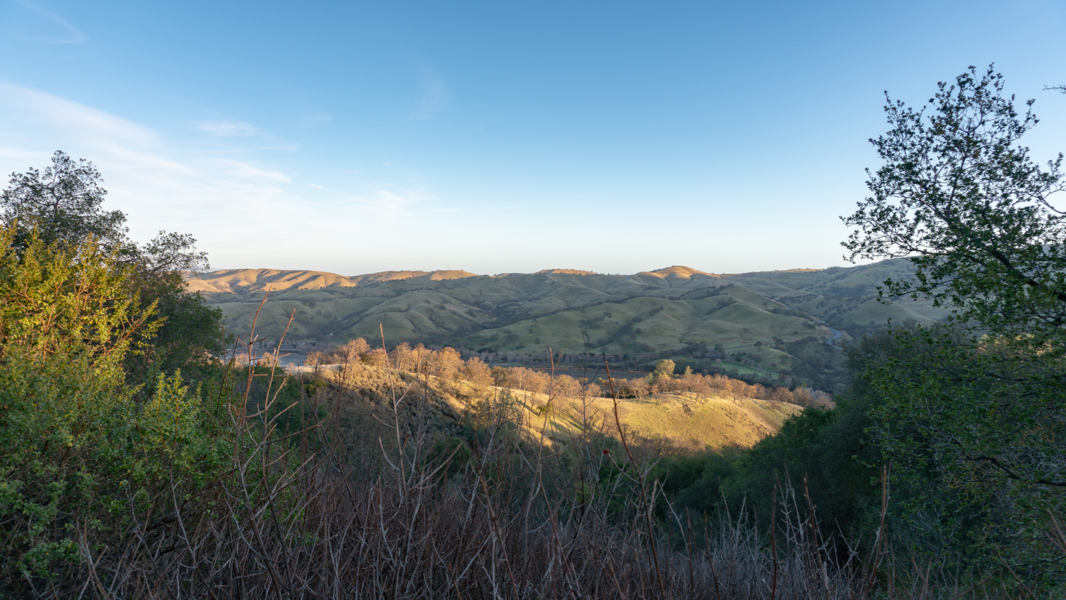
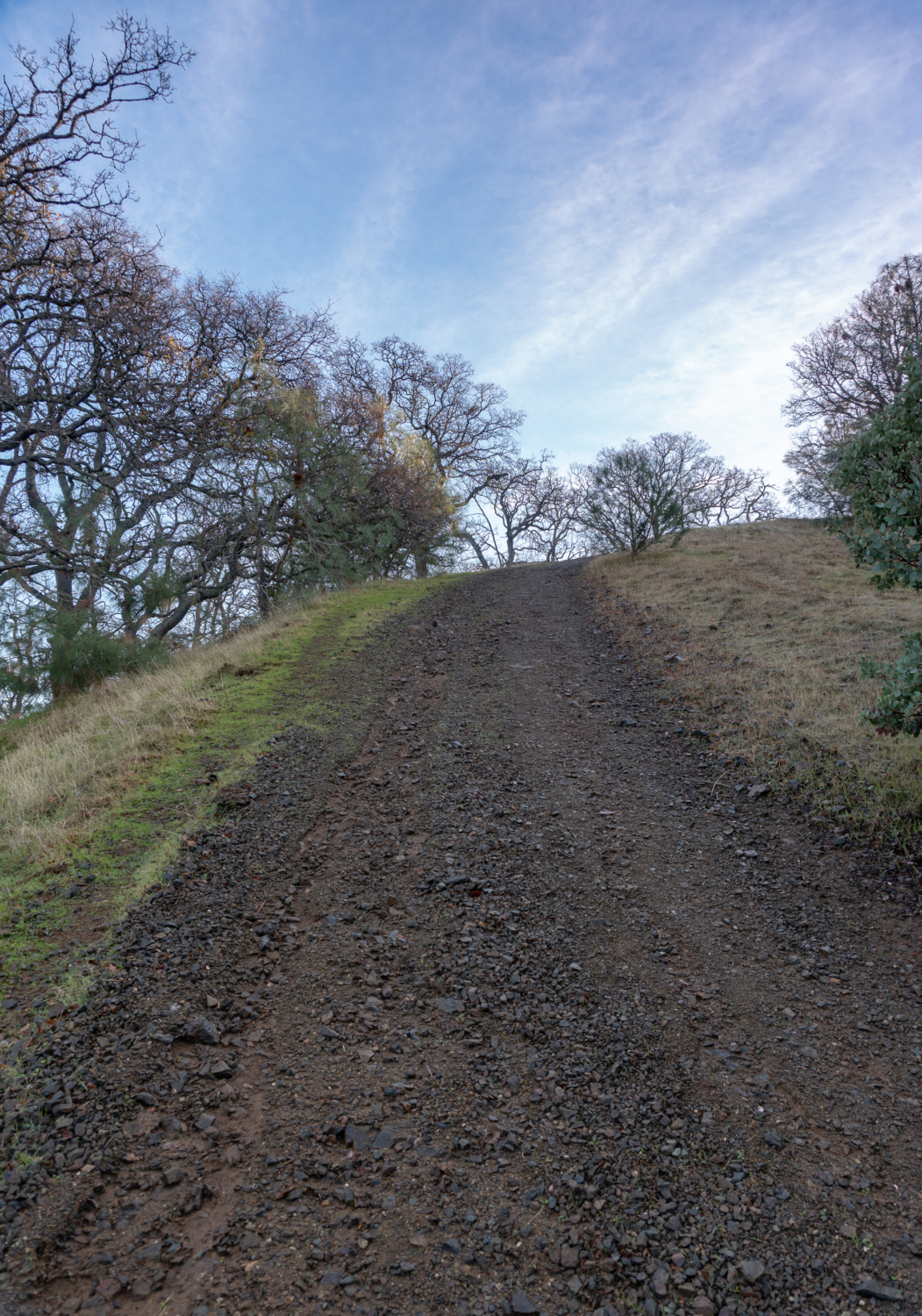
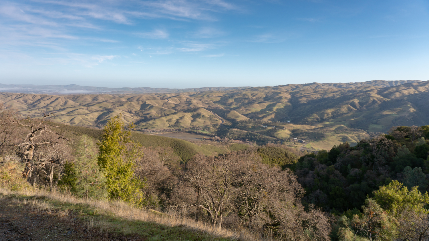
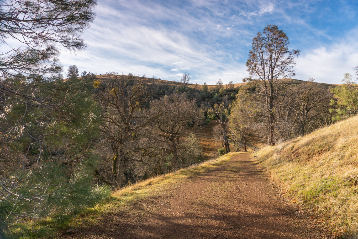
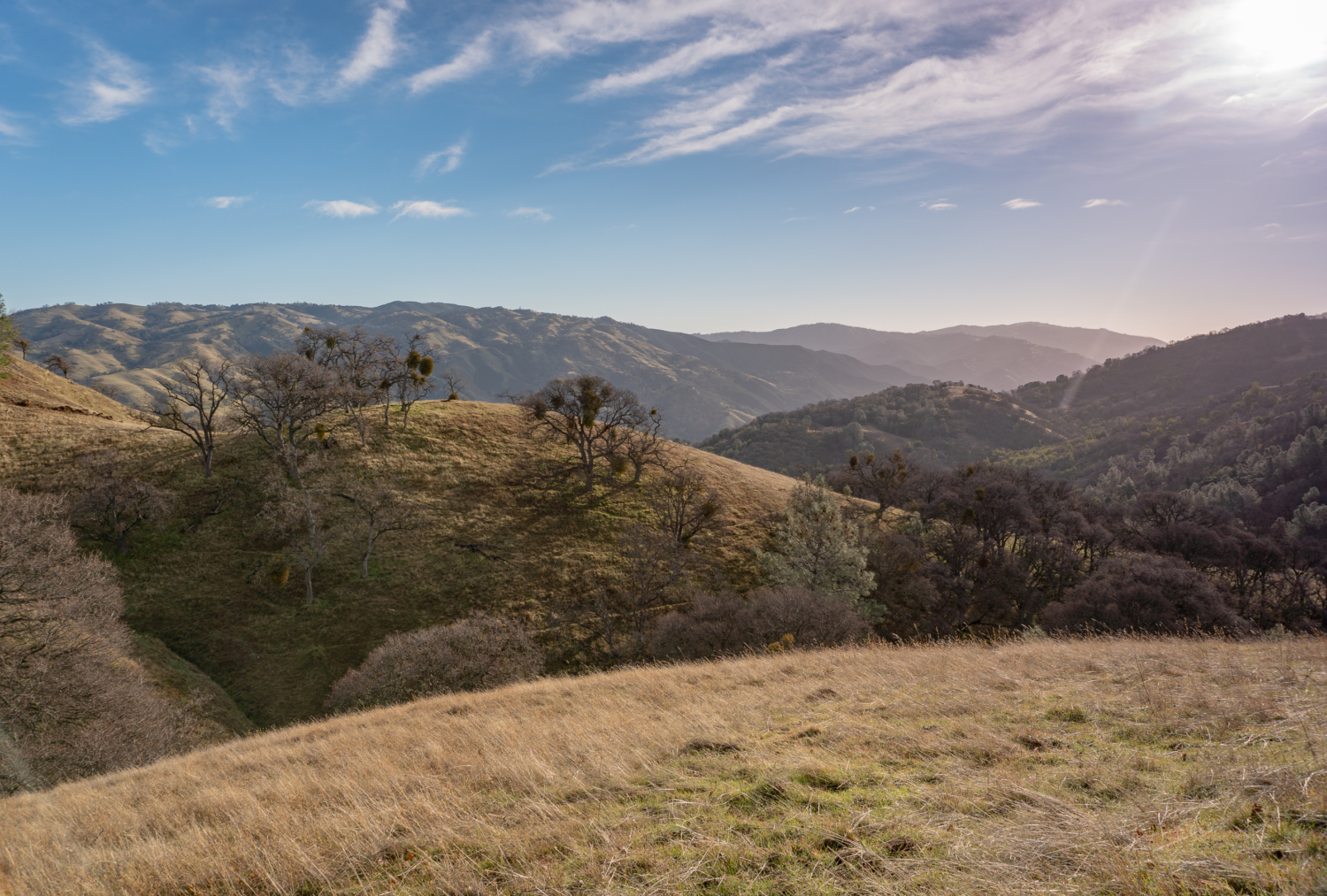
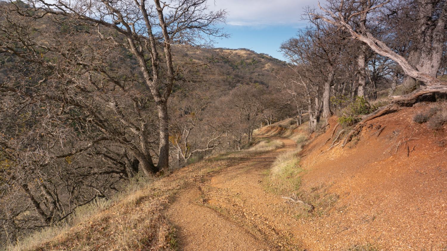
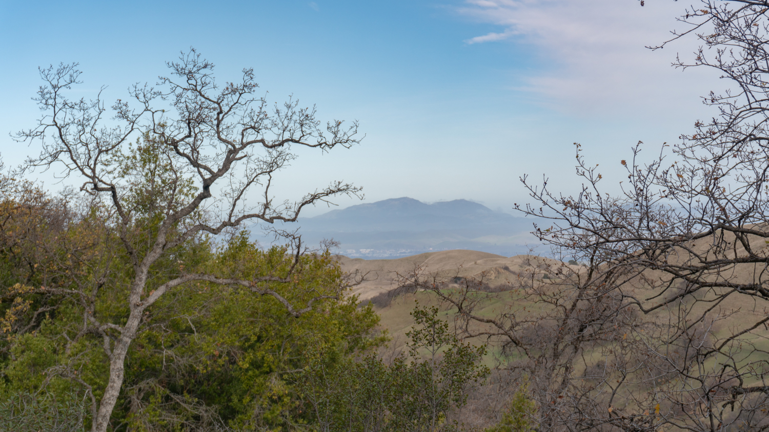
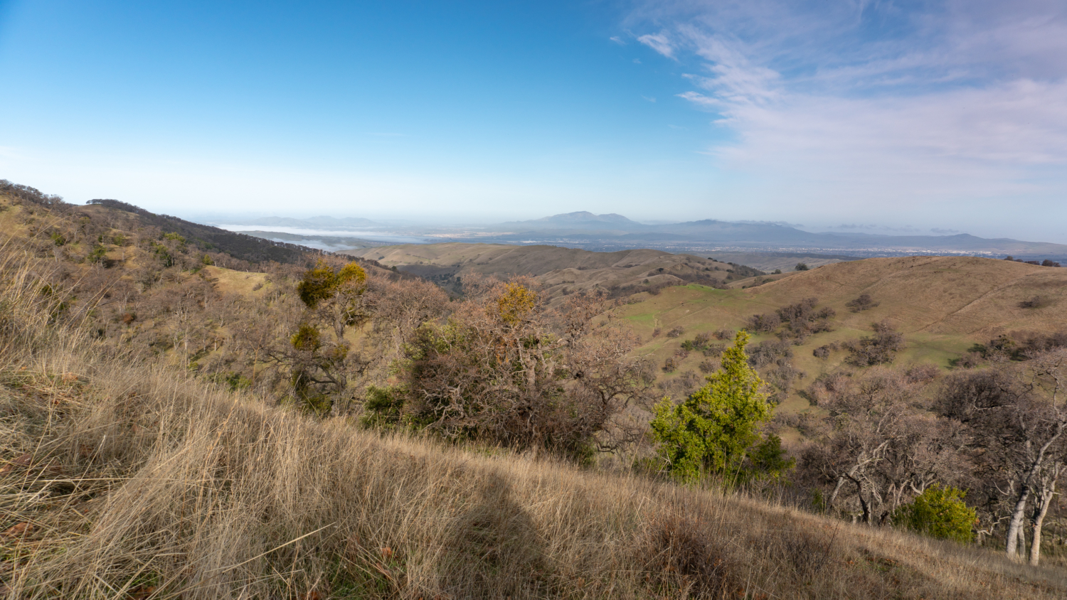
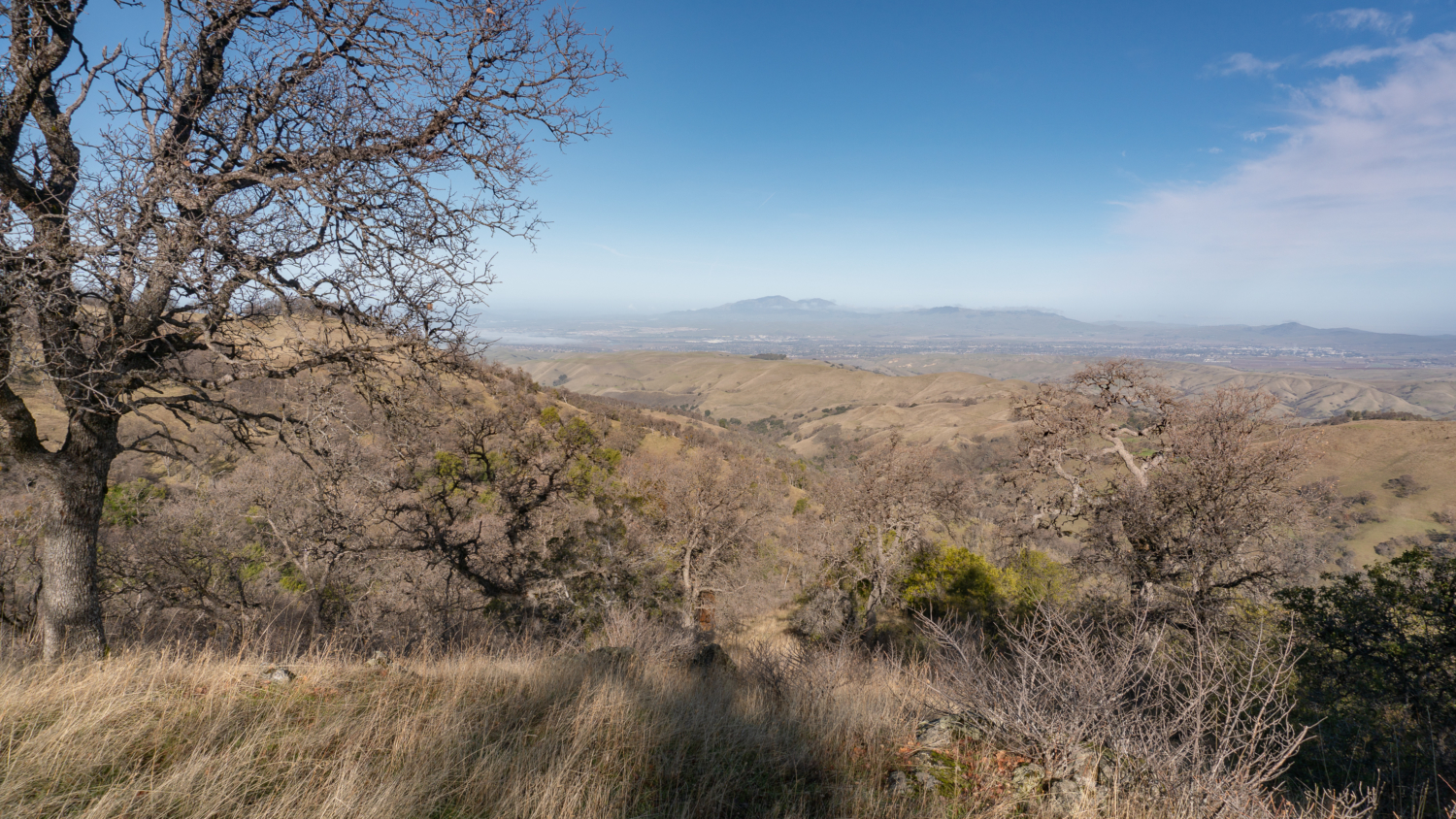
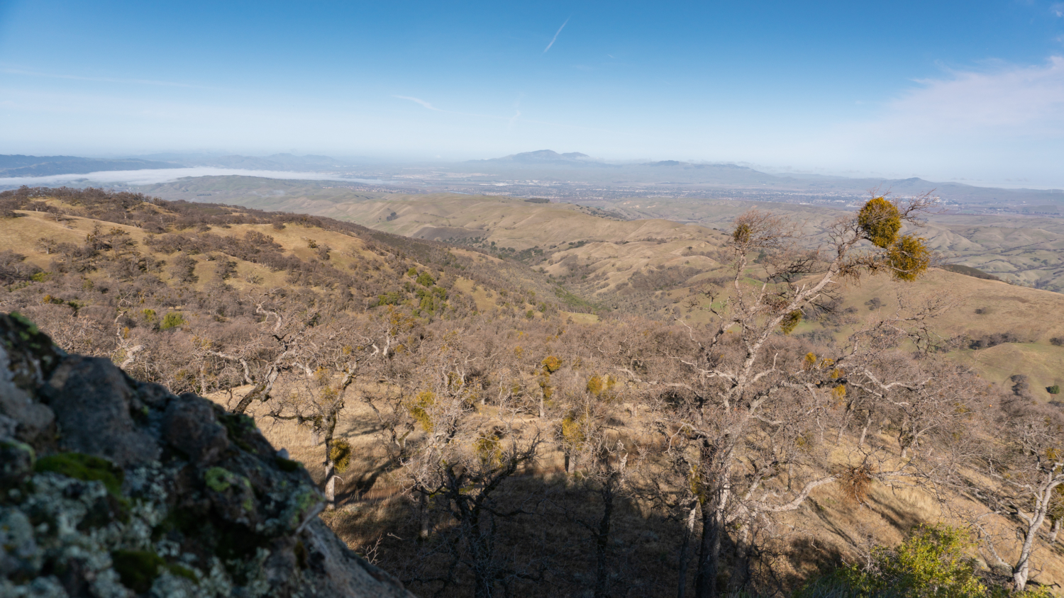
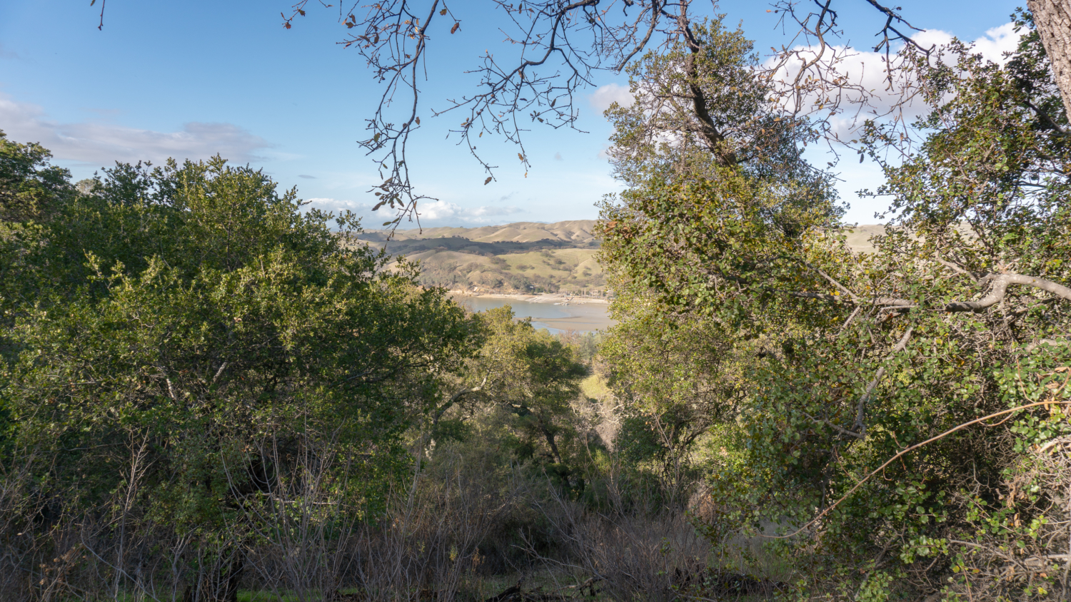
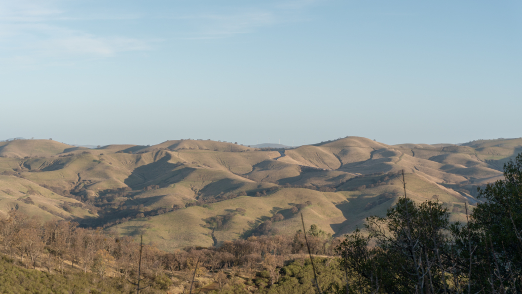
Okay, now that you are all signed in, it’s up, up, up! The trail so far has been a lenient climb, and now it is time to get to work. Continuing southwest towards Rocky Ridge, climb 1200 feet over the next 1.5 miles. The characteristic rolling green mounds of the Ohlone and Sunol Regional Wilderness blanket the landscape, with views northwest to Mount Diablo and northeast of windmills peeking over the horizon at Altamont Pass.
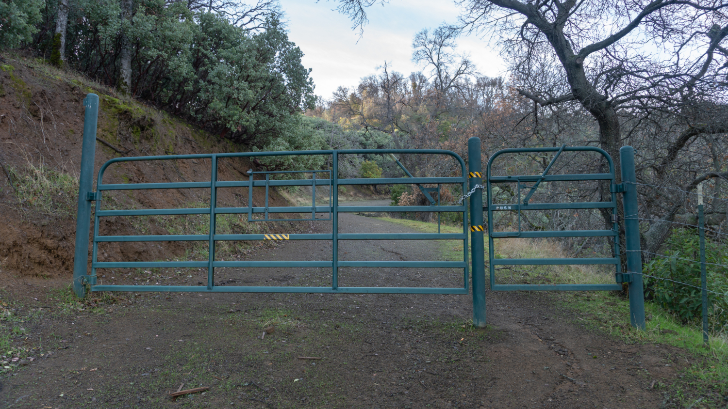
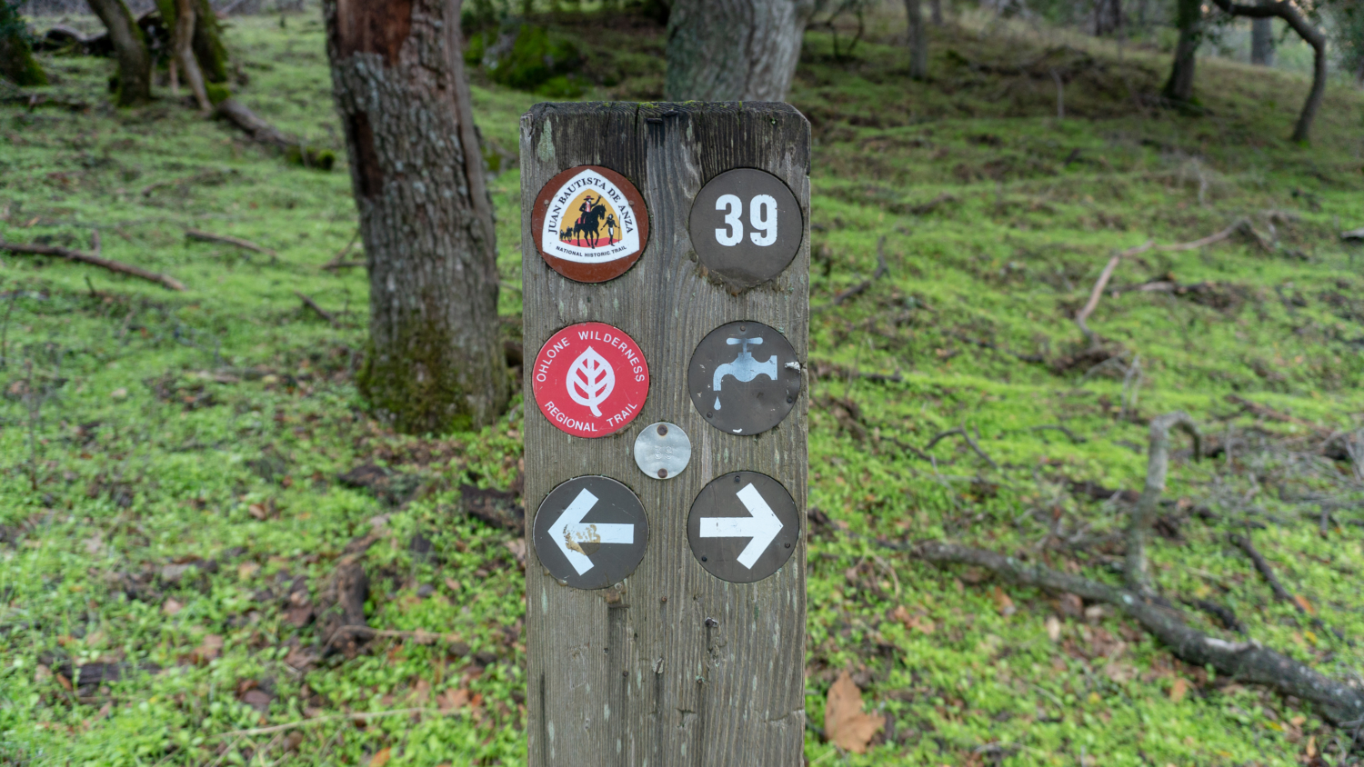
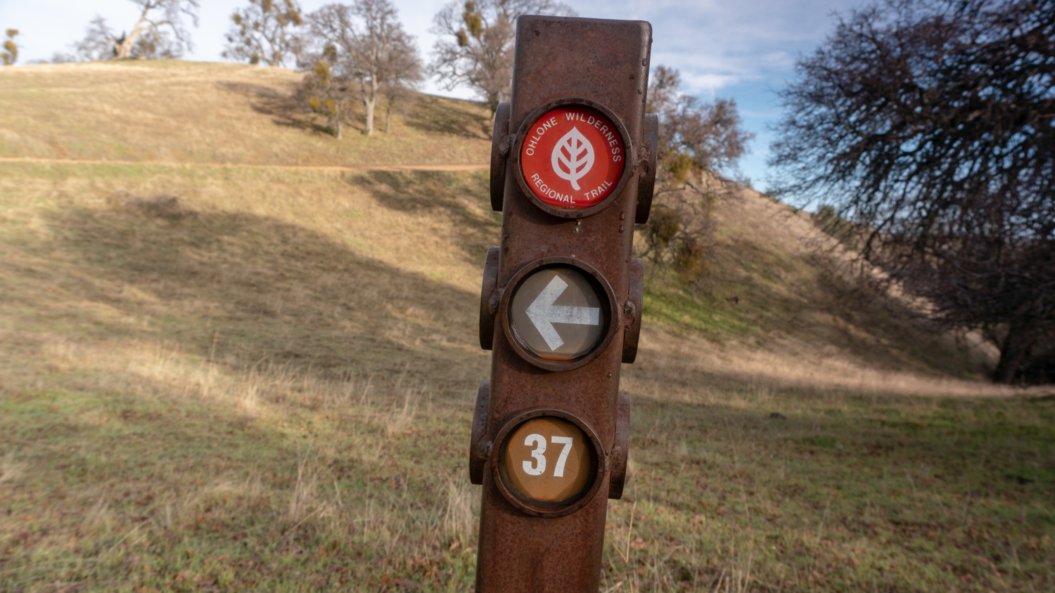
Pass through Gate RK4 at the 1.8-mile mark. Just beyond the gate is Stromer Spring Road Junction on your right, where there is a water source nearby as indicated by the water faucet on the signpost. Be sure to either filter or treat all water in the Ohlone Regional Wilderness.

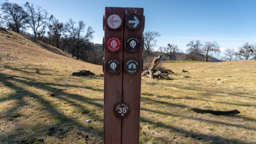
You may also notice numbers on the signposts, such as number 39 at the Stromer Spring Junction. These numbers correspond to junctions along the Ohlone Regional Wilderness Trail numbered 1 through 40, beginning at 1 at Mission Peak Regional Preserve and ending at 40 back at the sign-in kiosk/Vallecitos Trail junction. The junctions are labeled on the map in your hiking permit, making it easy to cross-reference while you hike. Since we are hiking the trail east to west, we started at number 40 and will descend to junction number 35 before leaving the Ohlone Wilderness Trail and zipping over to Murietta Falls.

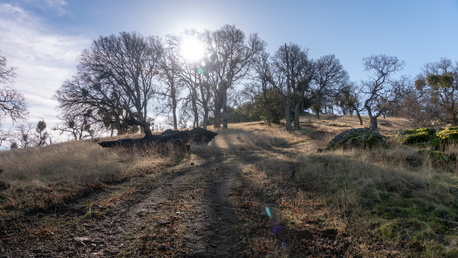
Arrive at Rocky Ridge at the 2.5-mile mark, a grassy summit peppered with rocks. You’ve just finished your first big climb of the hike. Woo-hoo! The Rocky Ridge Trail is on your right, an alternative route that connects to Stromer Spring Road and ultimately the Ohlone Regional Wilderness Trail.


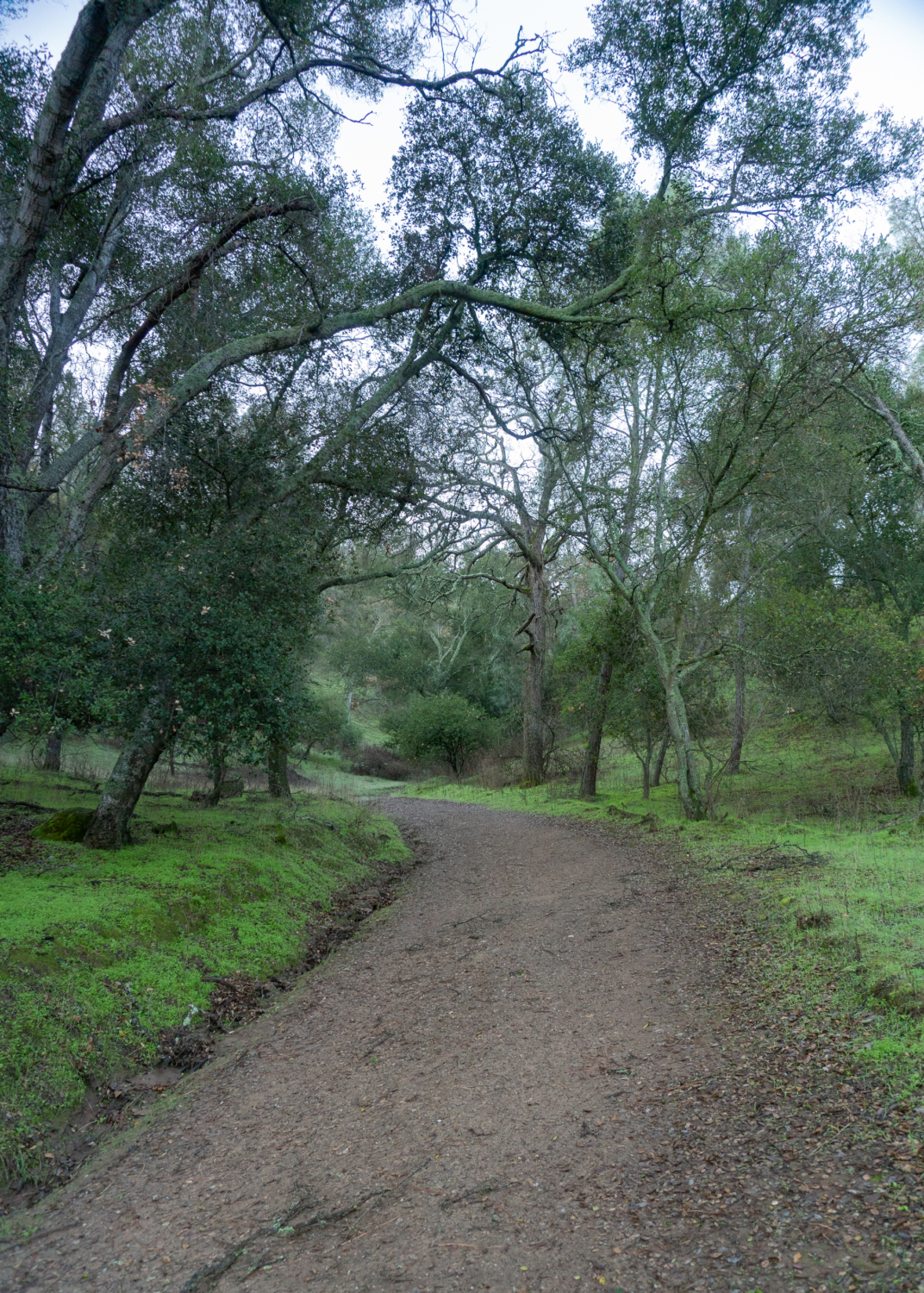
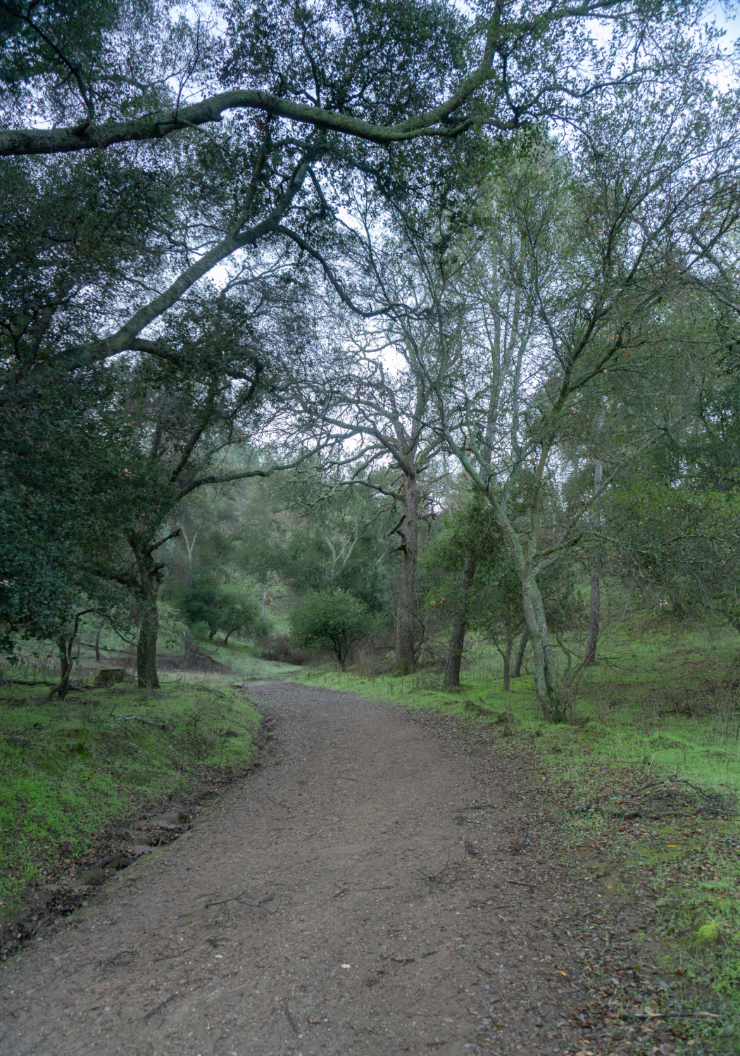
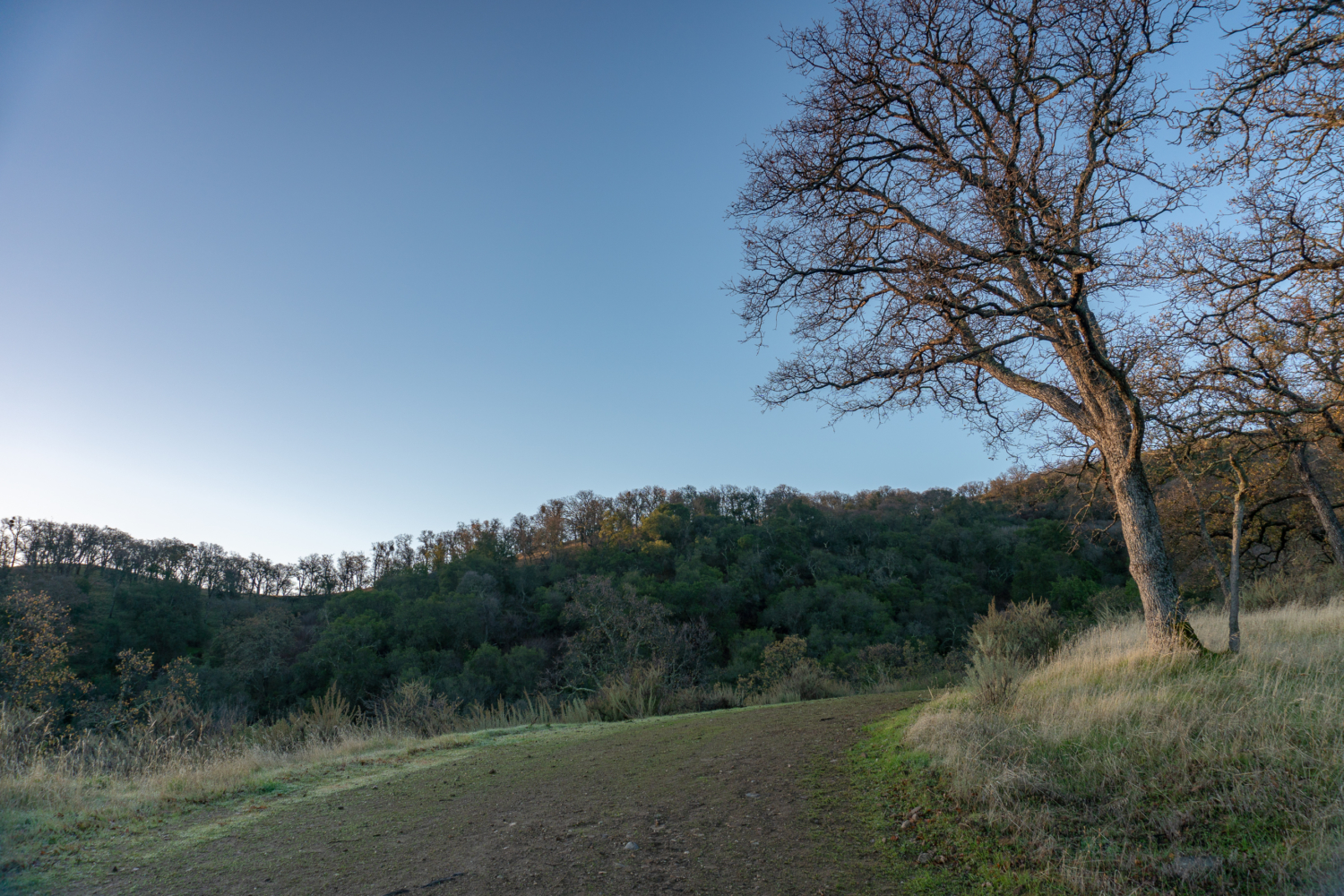
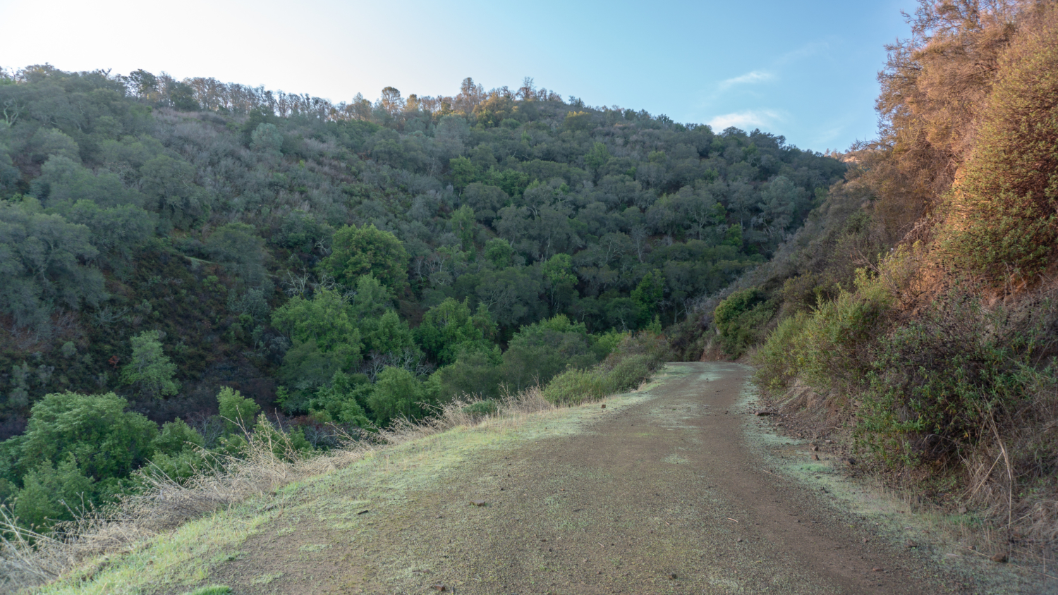
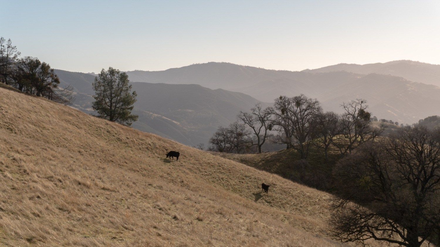
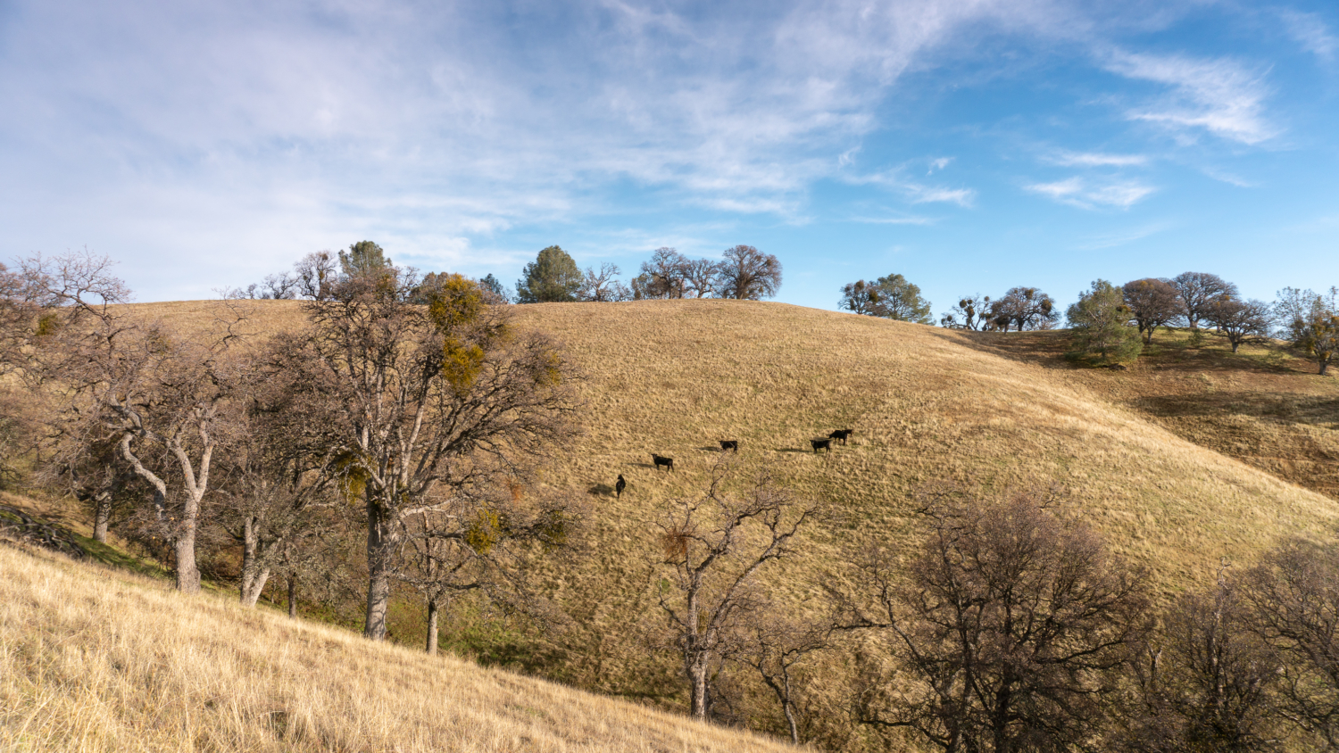
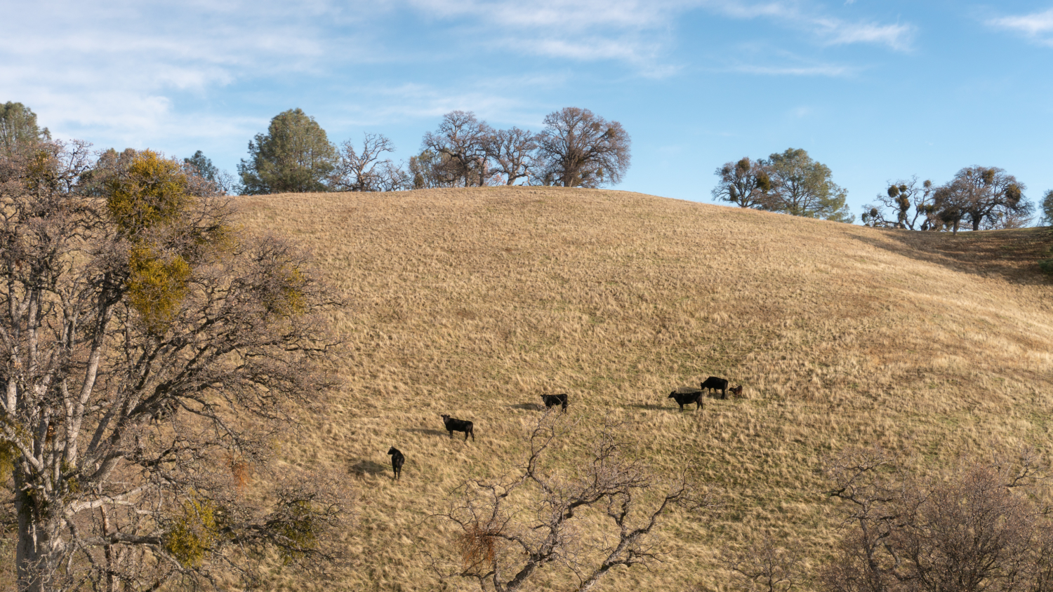
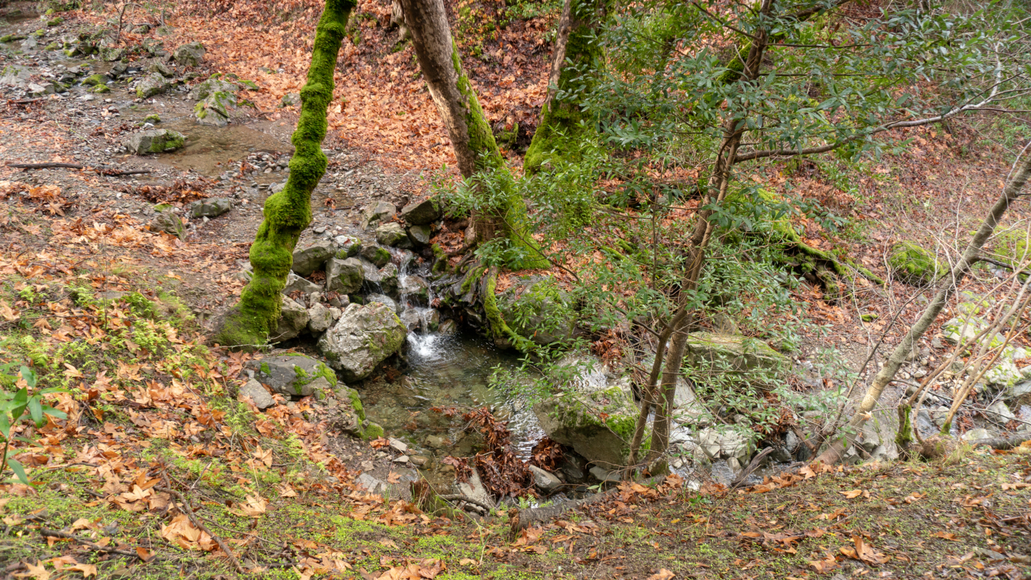
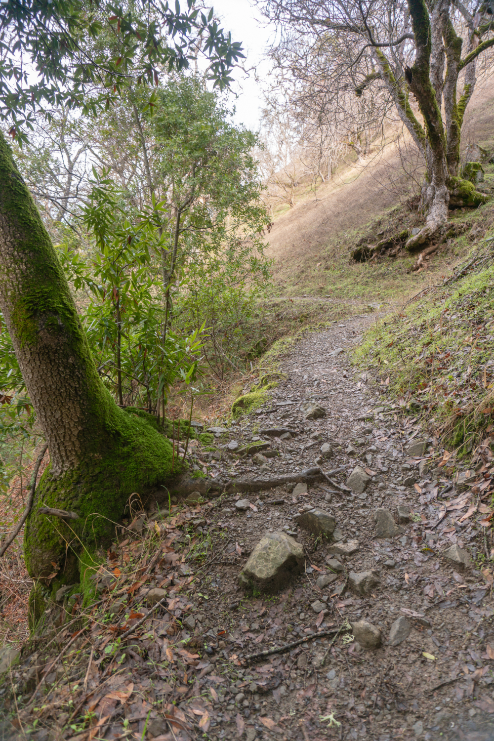
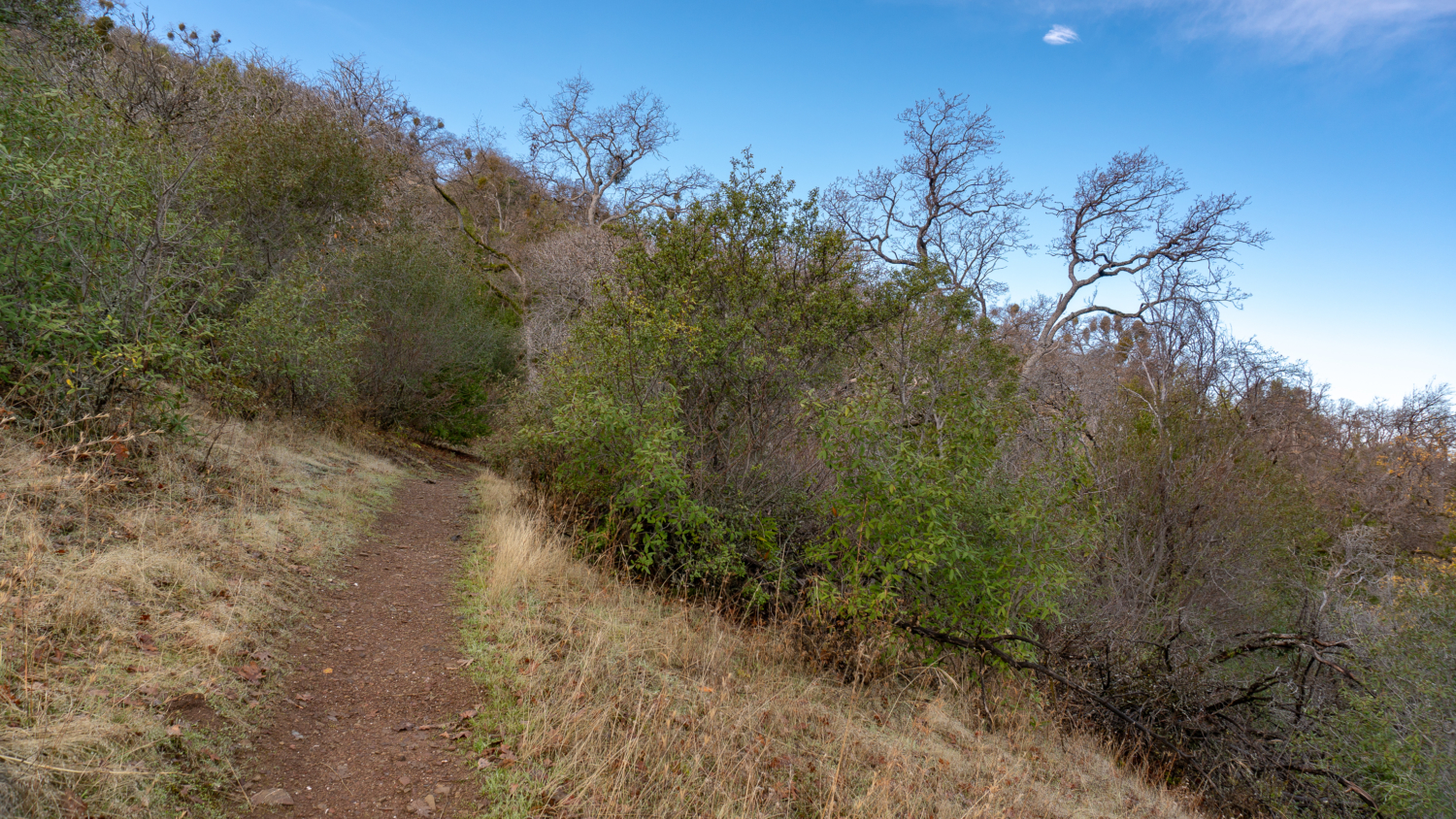
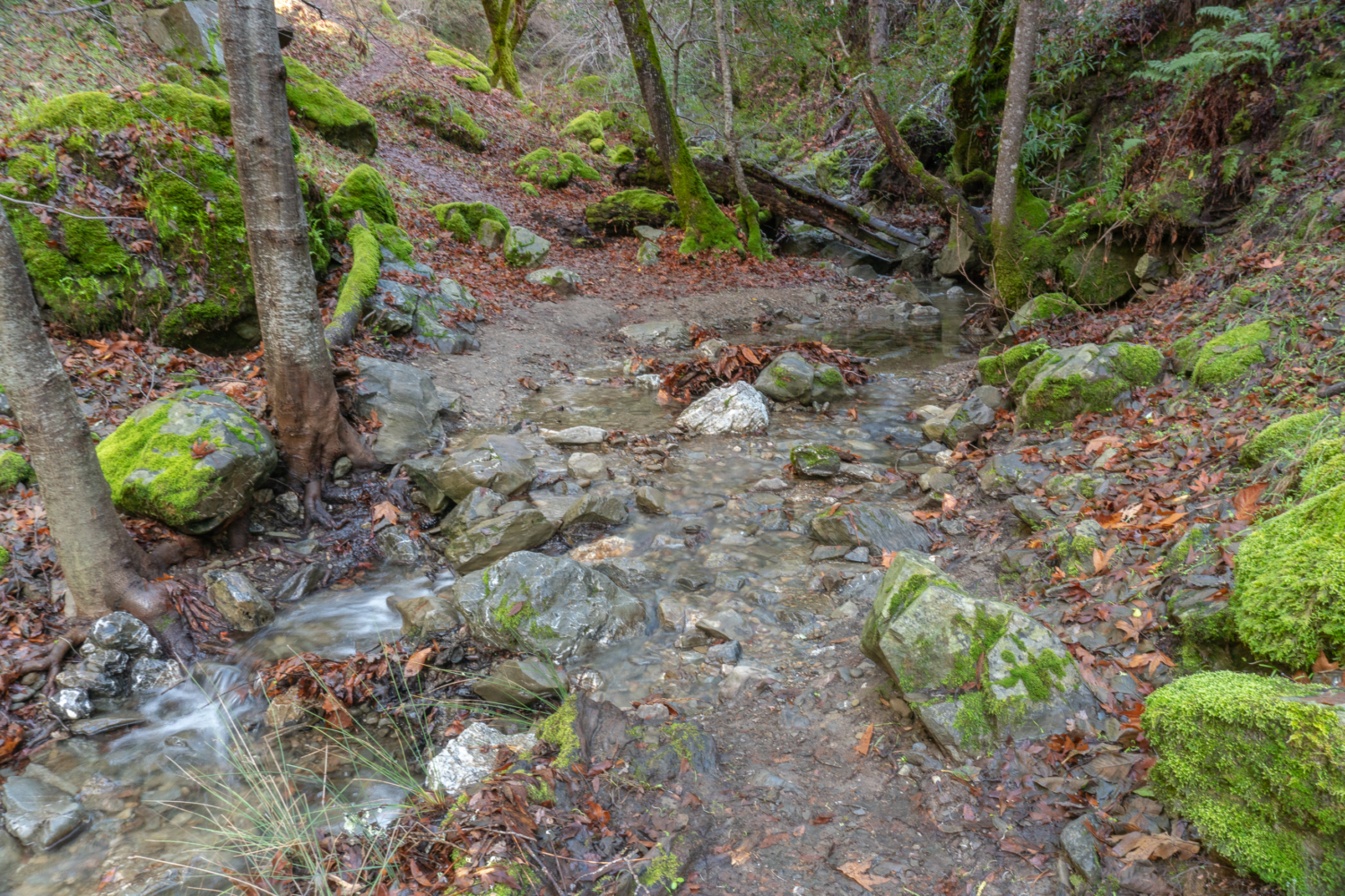
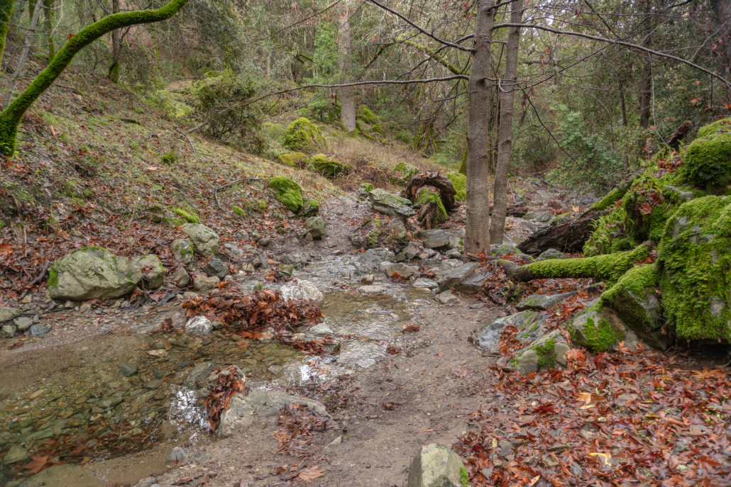
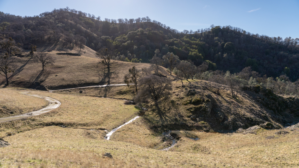
Continue straight ahead to stay on the Ohlone Wilderness Trail, descending 530 feet over the next 0.8 miles to Williams Gulch. Watchful cows graze in the grasslands here and it is common to see cow dung along the trail. Yup. Descend sharply next to bay laurel to the sounds of creek below, where the trail narrows to a single track within the beautiful, shady gulch.
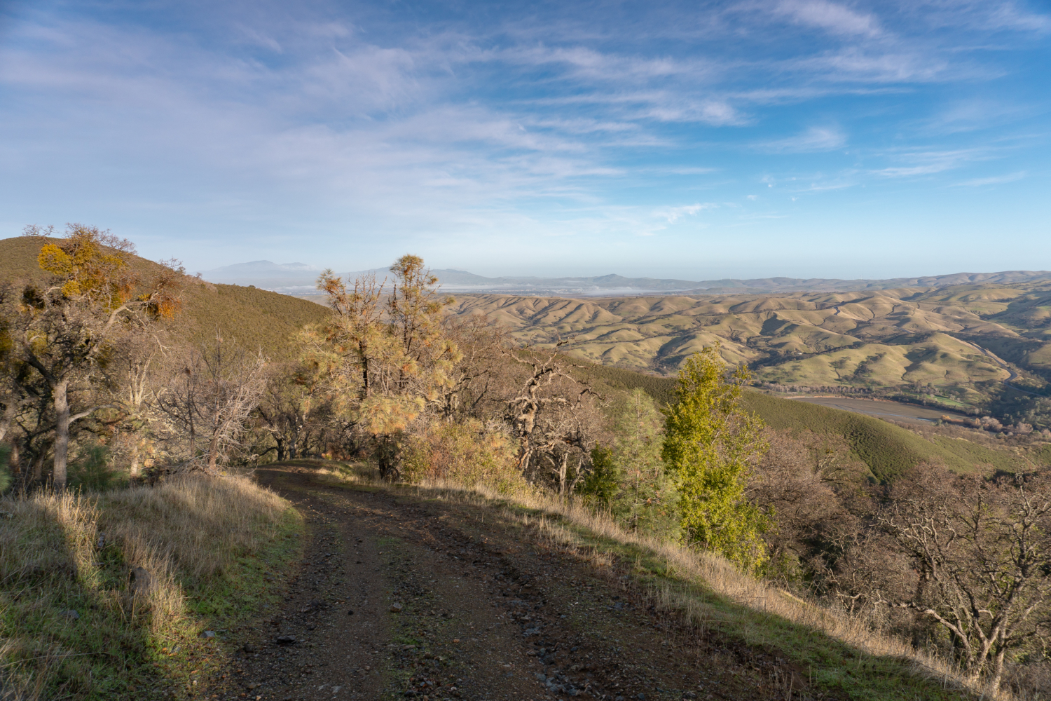
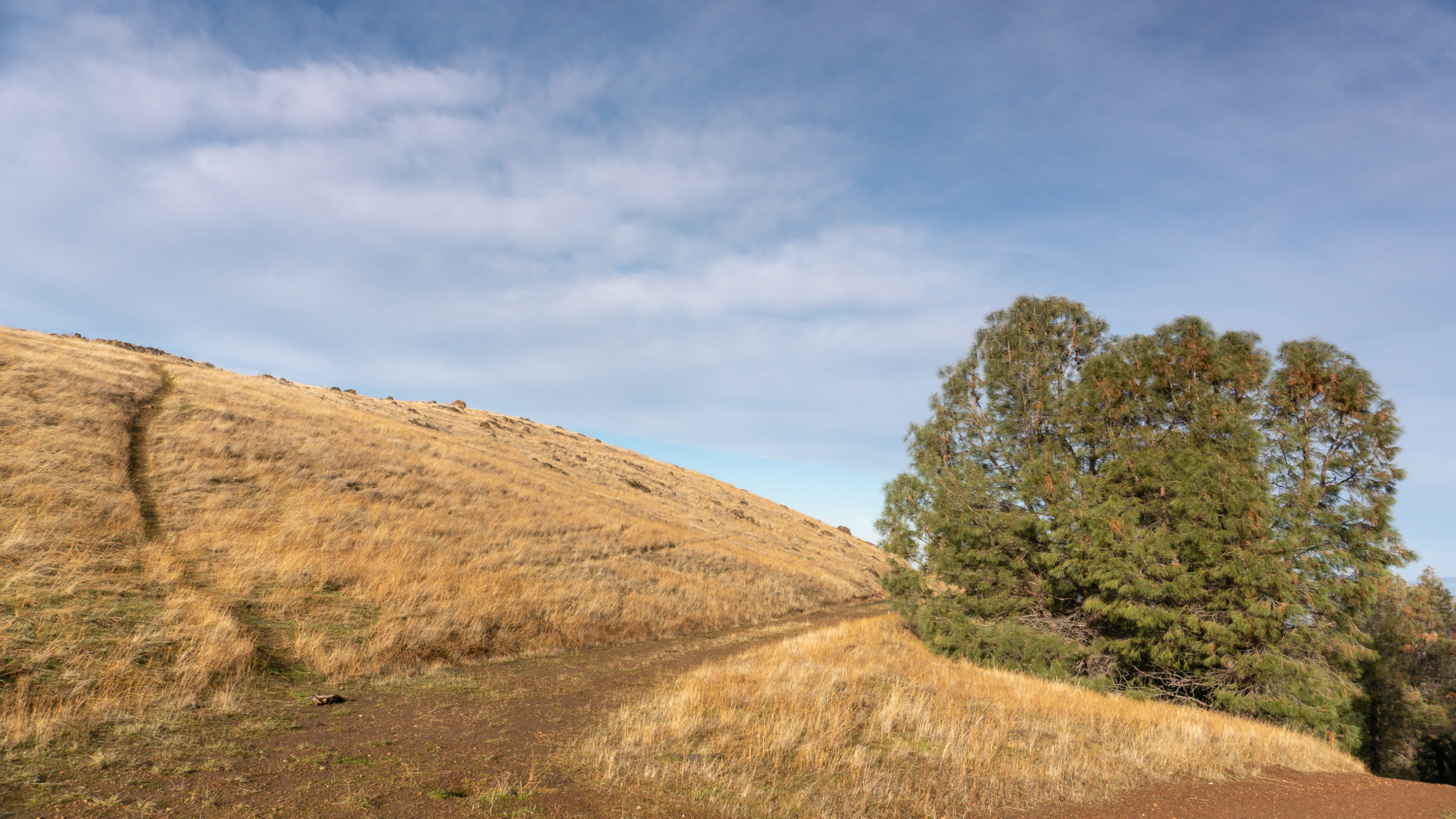
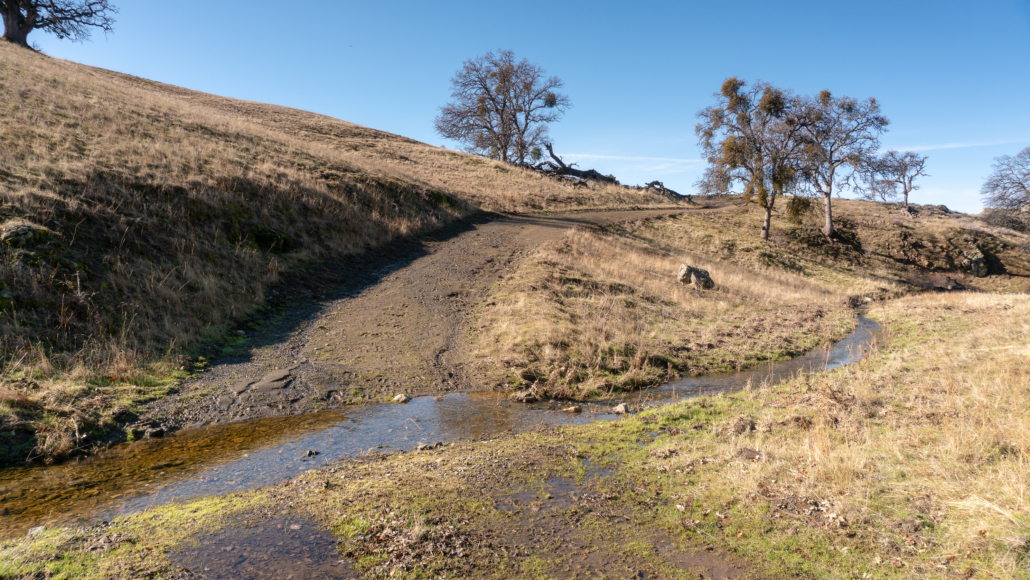
At the 3.3-mile mark, cross the creek on stones and begin your second big climb on this hike, gaining 1570 feet over the next 1.6 miles. Tall grass surrounds the curving, u-shaped switchbacks on the narrow dirt trail, with views of Mount Diablo to the northwest. Colorful blue scrub jays and redheaded acorn woodpeckers flit among the oaks, gathering acorns and storing them underground and in tight crevasses in tree trunks, respectively.


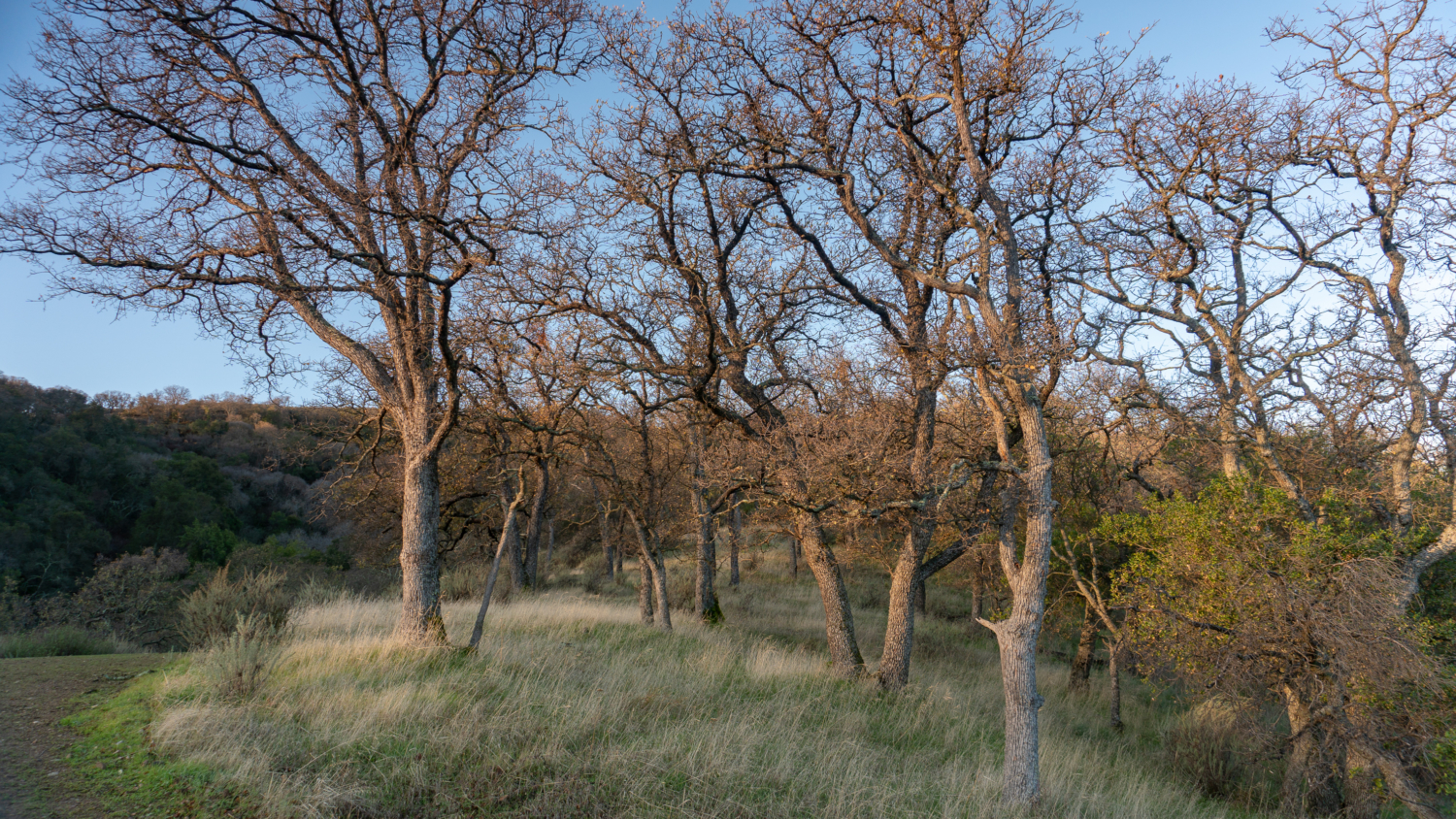
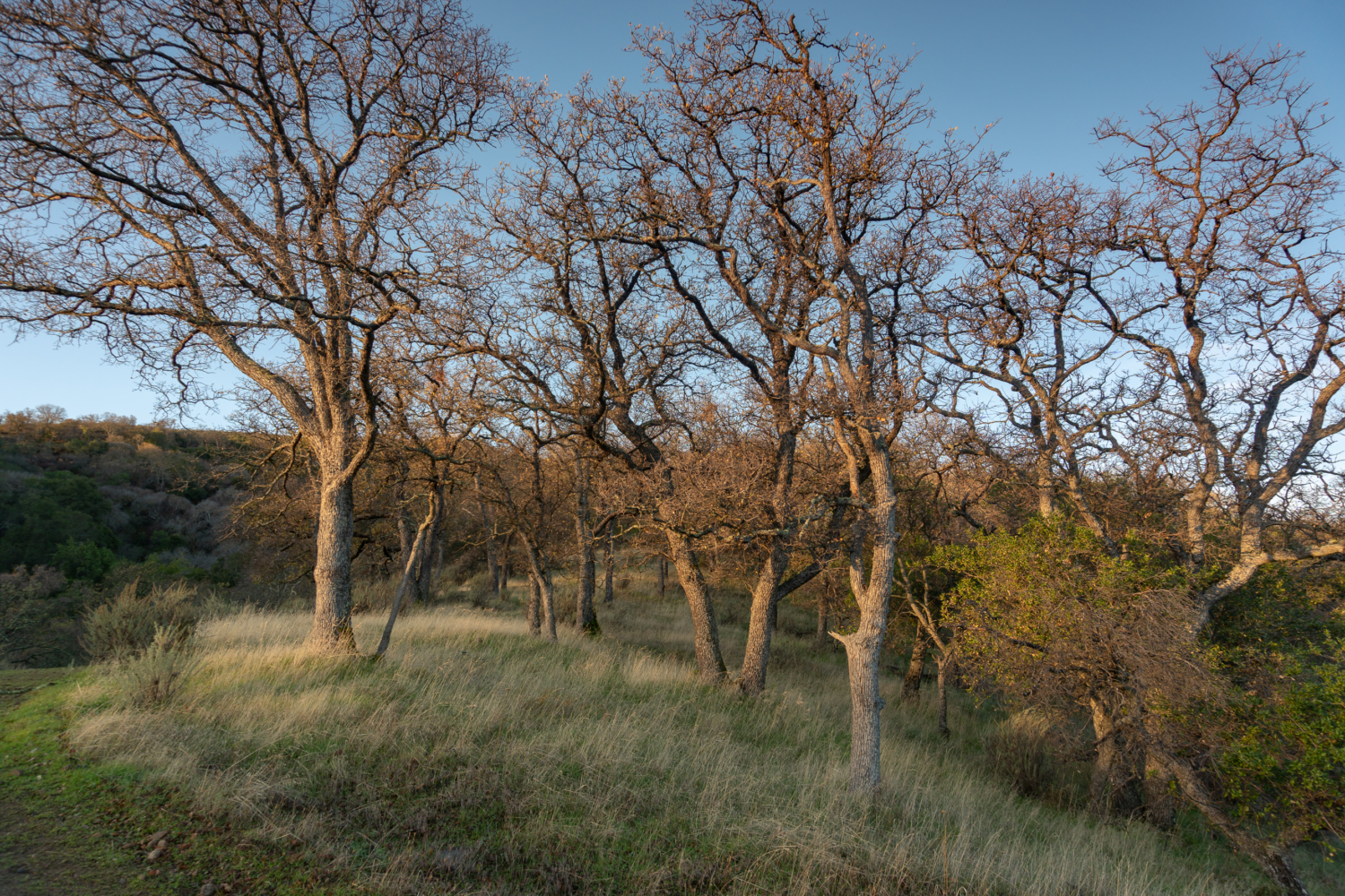
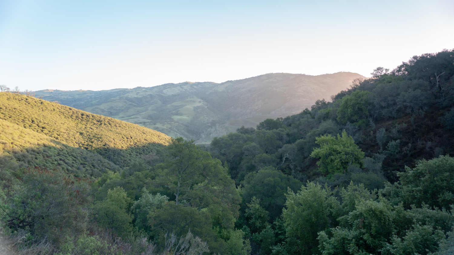
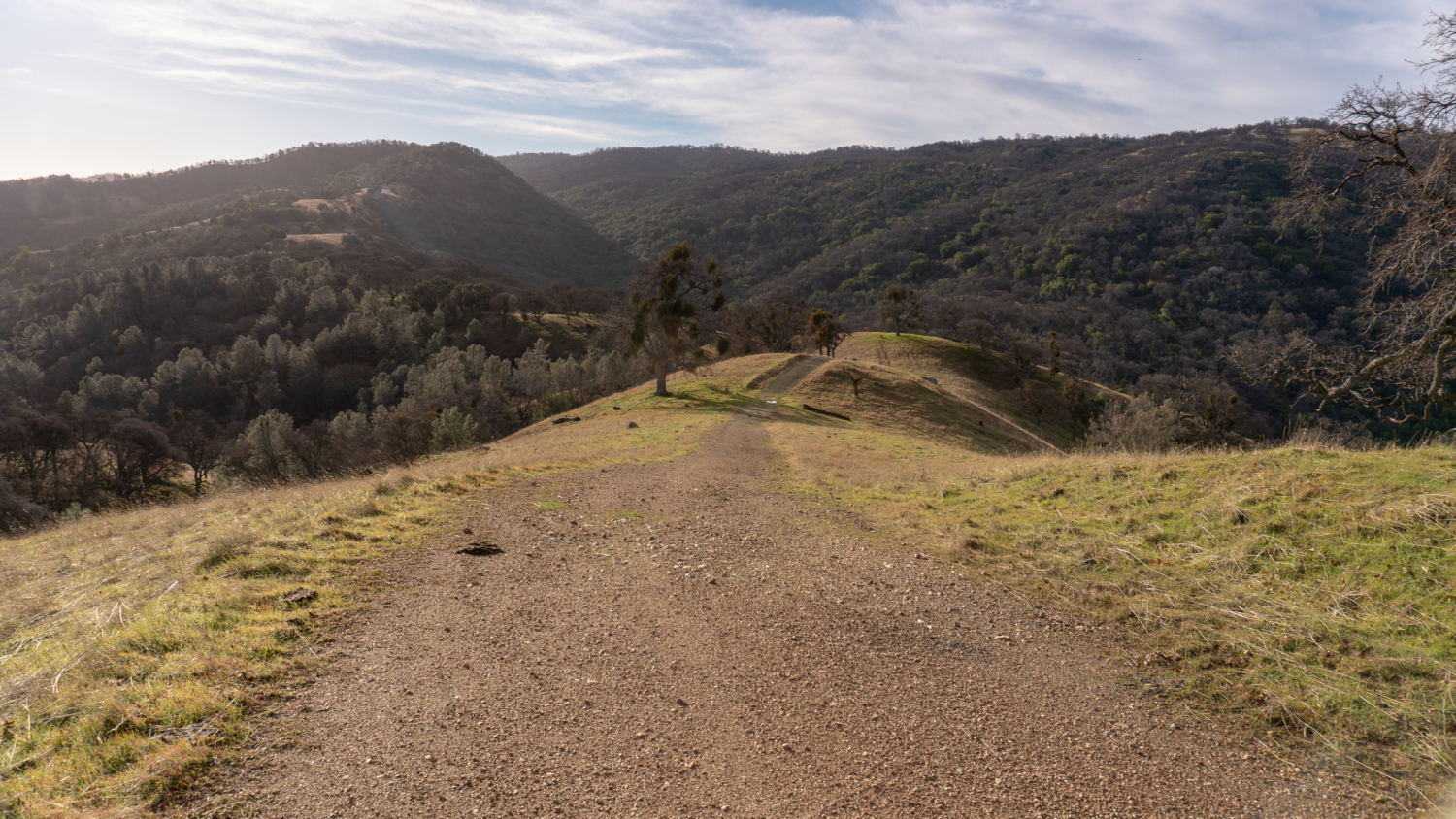
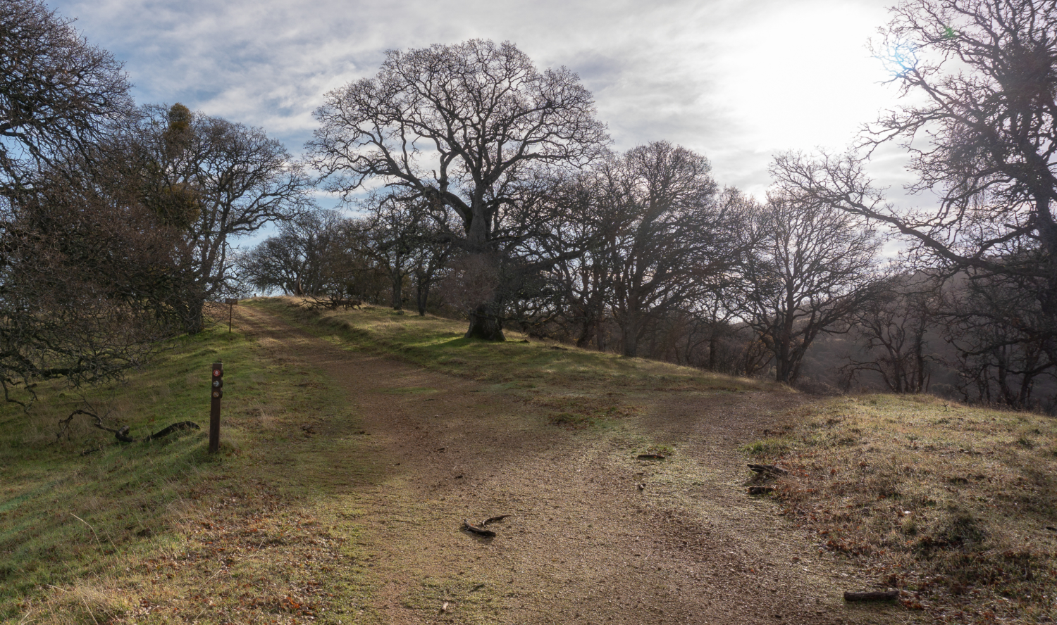
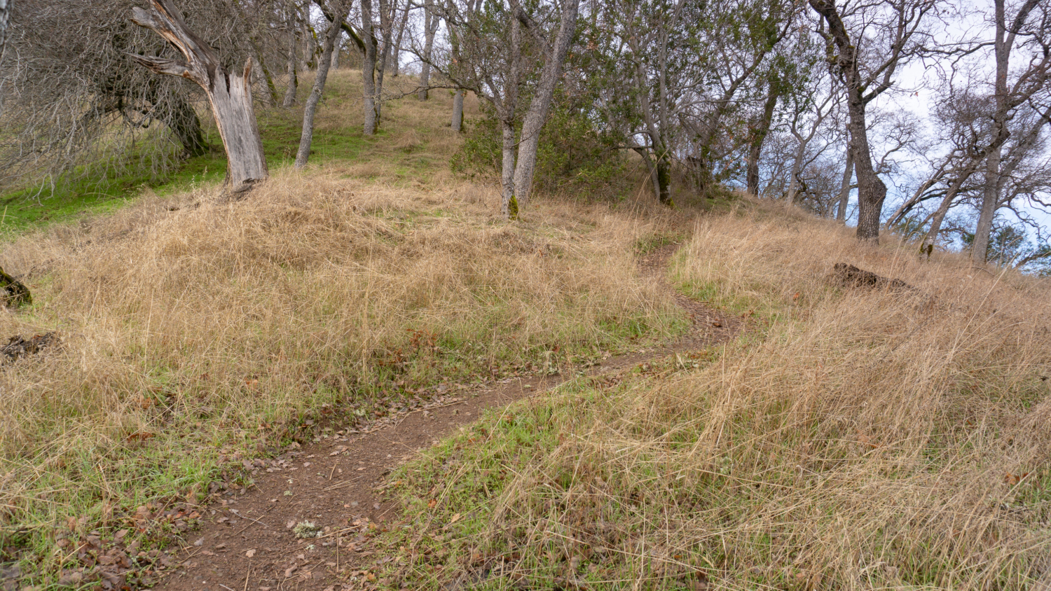
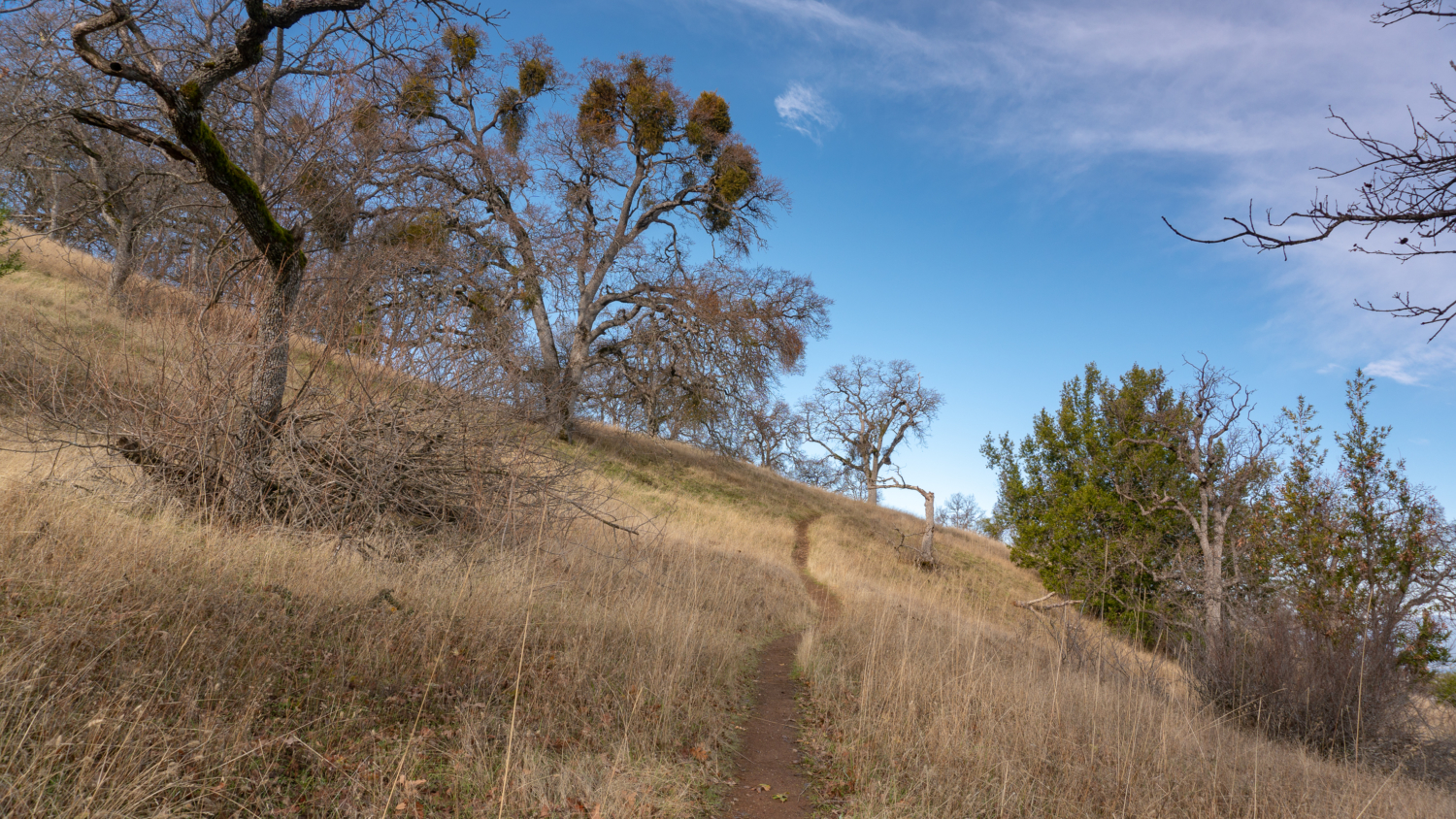
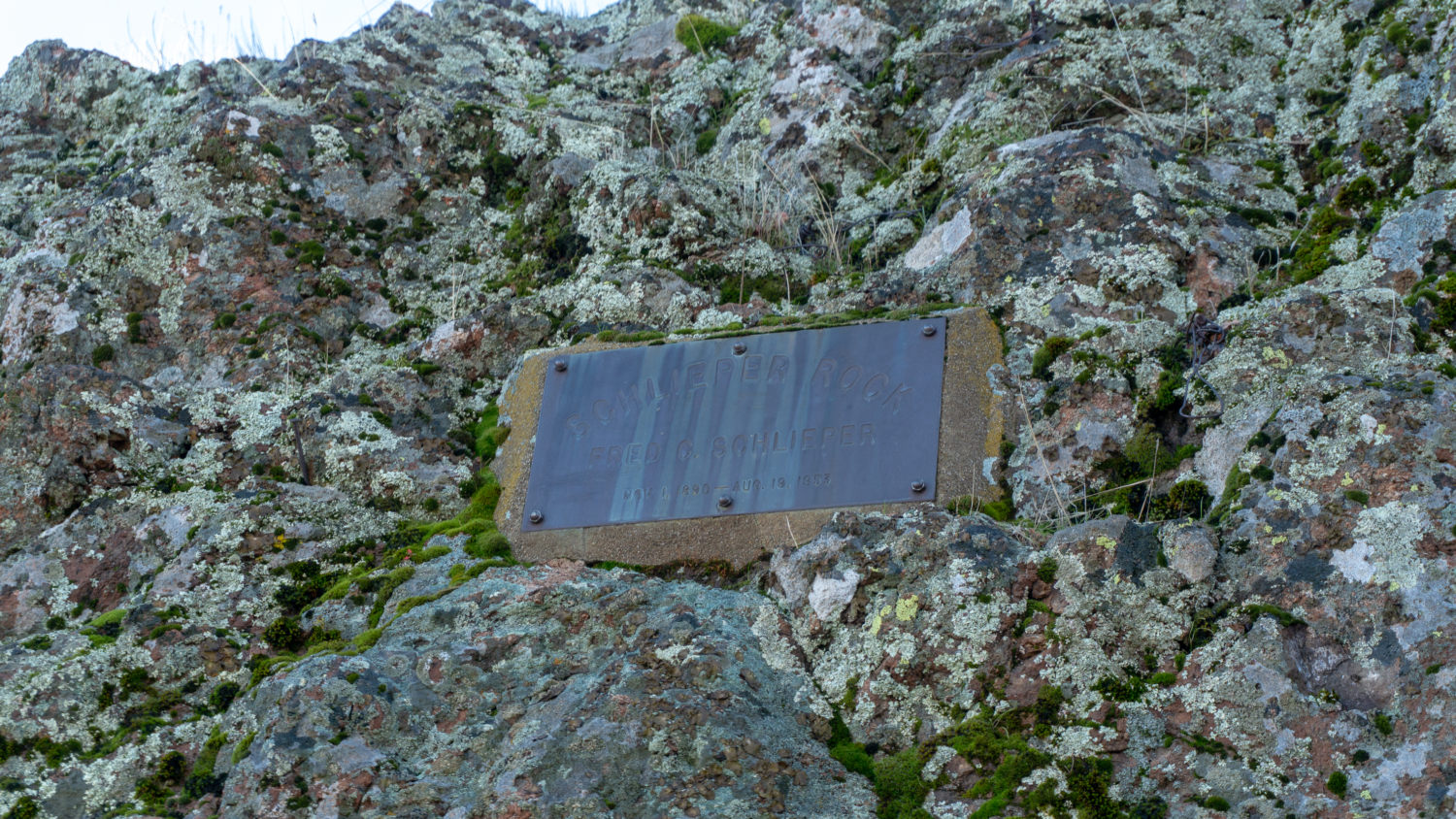
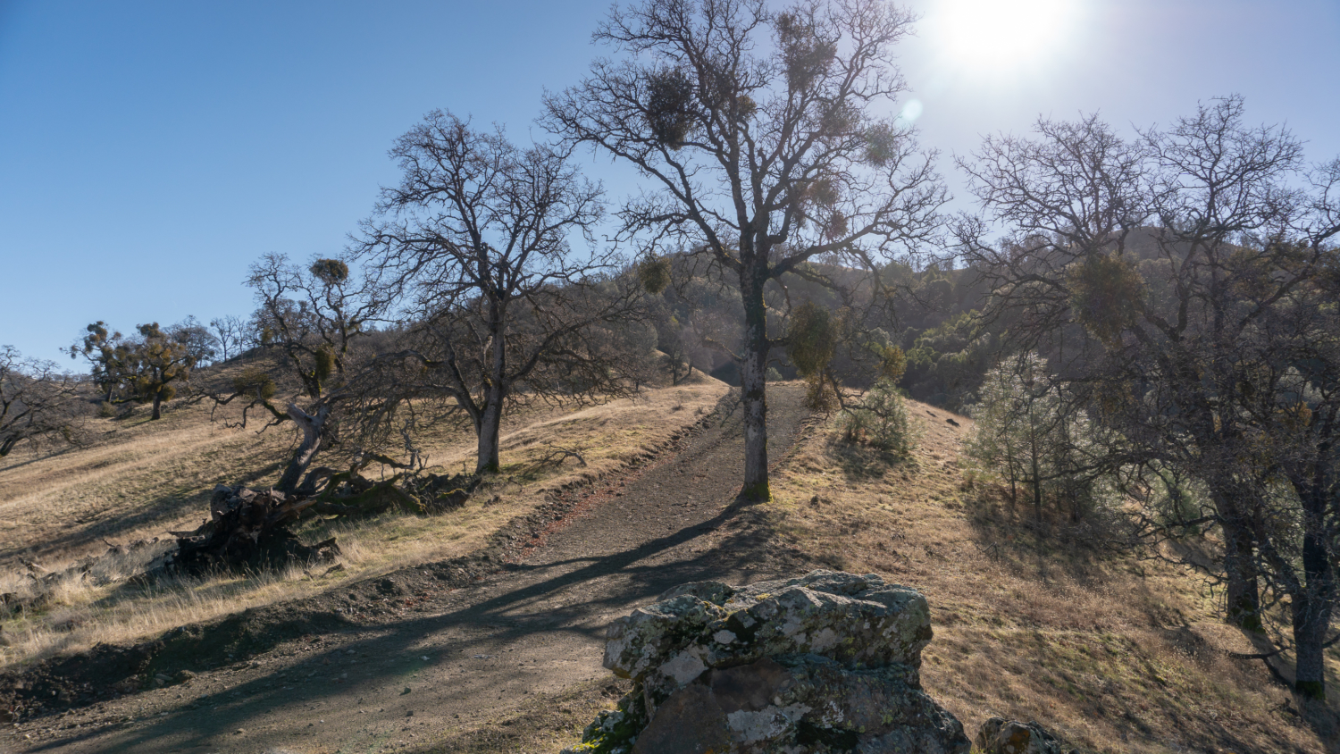
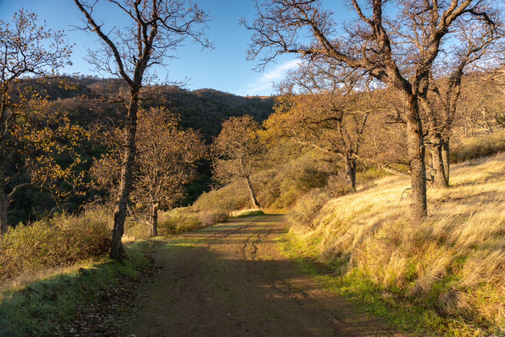
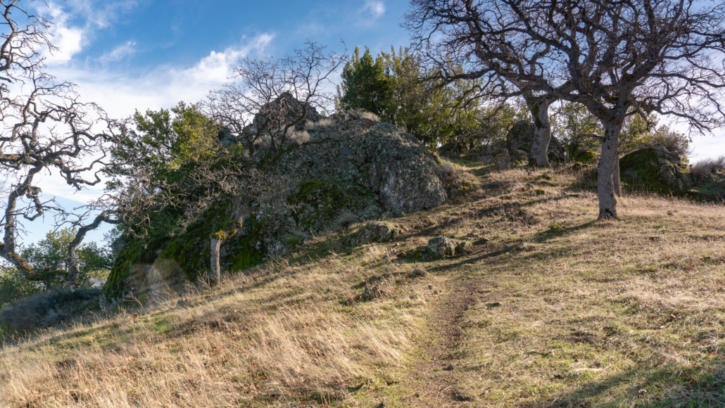
Nearing the top of your climb towards Rowell Ridge, the trail transitions back to a fire road. Schlieper Rock, elevation 3,080 feet, appears on your left. A small plaque fixed on the rock honors Fred Schlieper, a silversmith who worked at Rowell Saddlery for Henry Rowell in the 1940’s. Rowell, of Rowell Ridge, owned most of the land that now makes up the Ohlone Regional Wilderness. There’s a small spur trail that leads to the rock and at the top, you have a nice vista of Mount Diablo and the Livermore Valley.

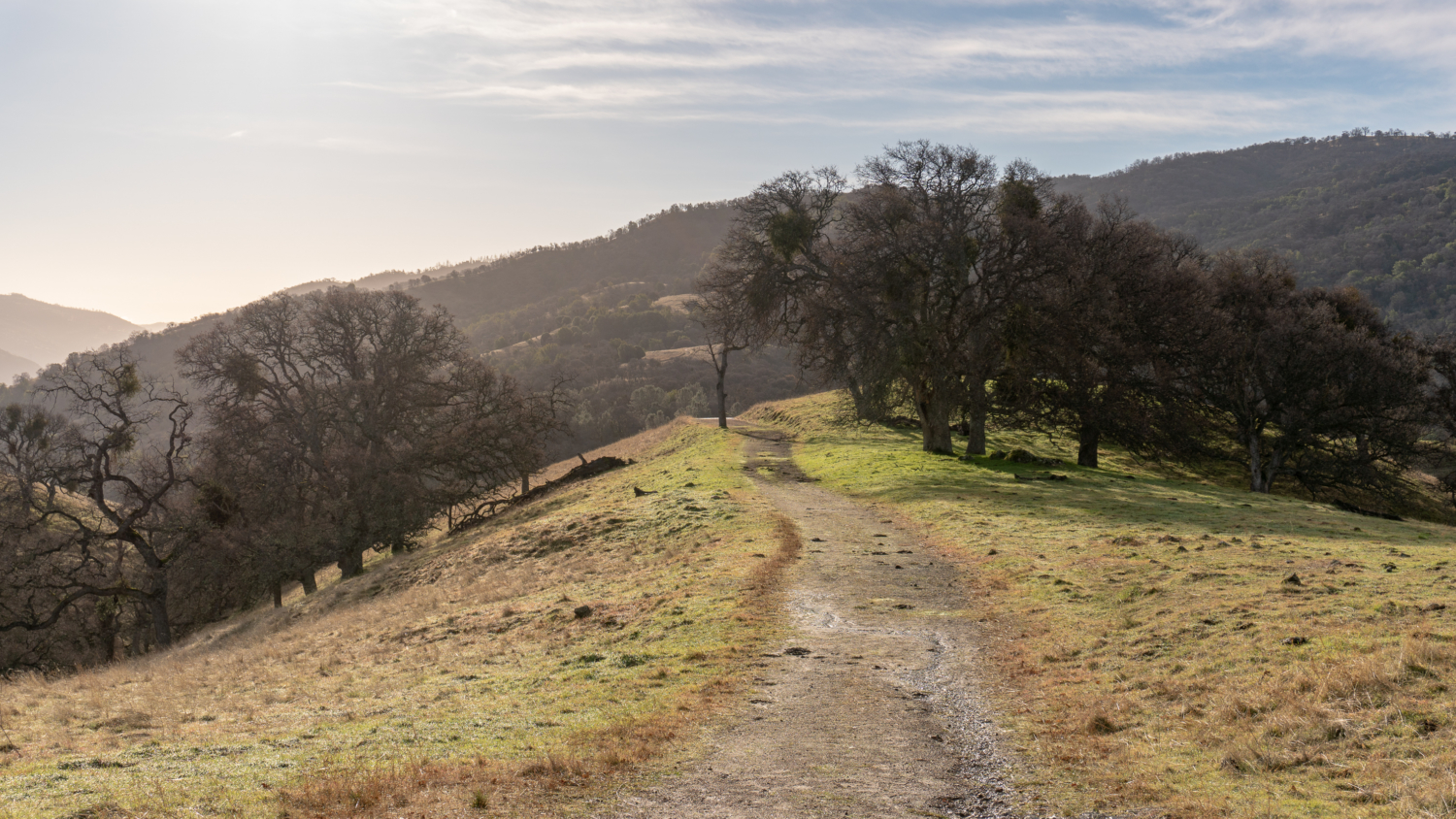
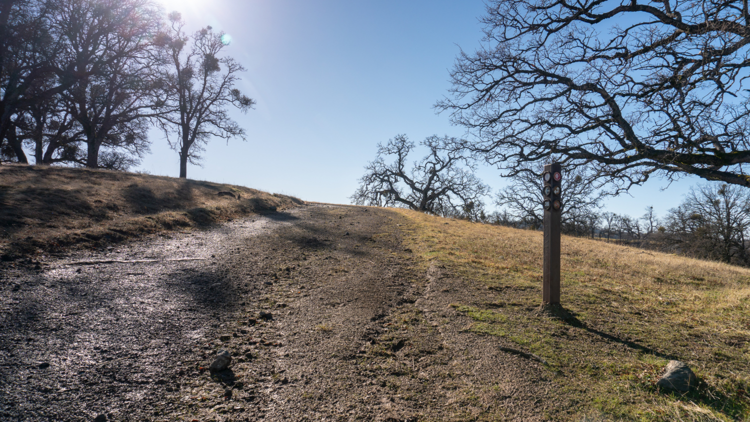
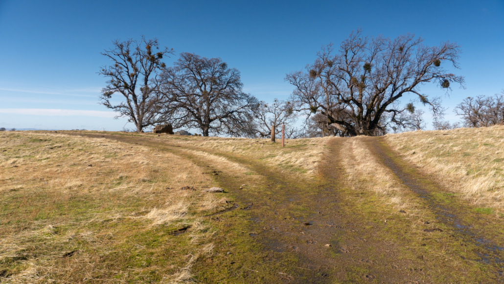
One last push past Schlieper Rock and you’ve arrived at signpost 36 at the 4.9-mile mark.


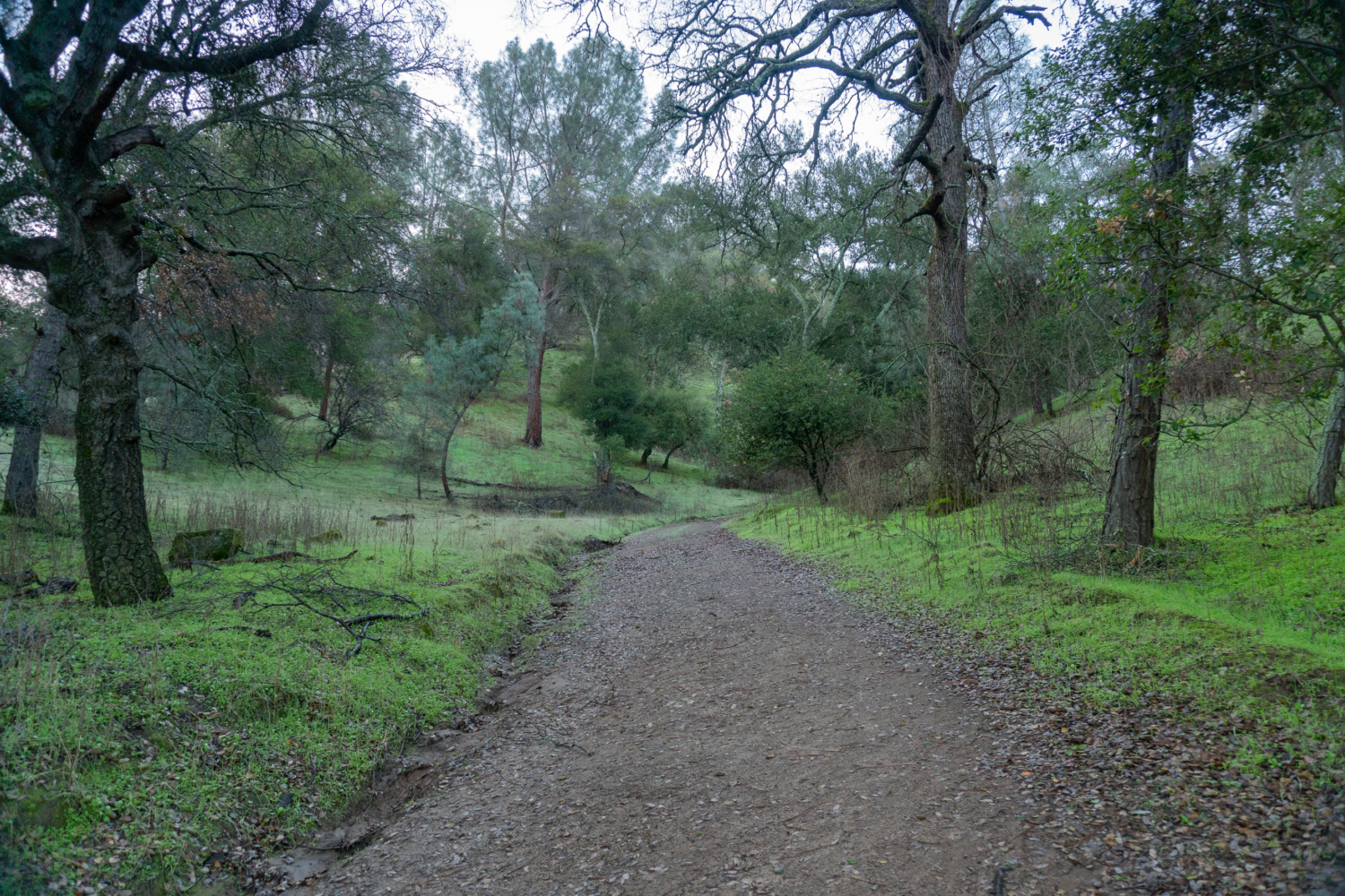
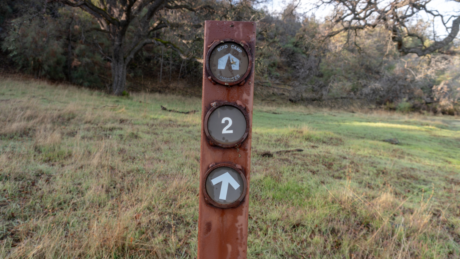
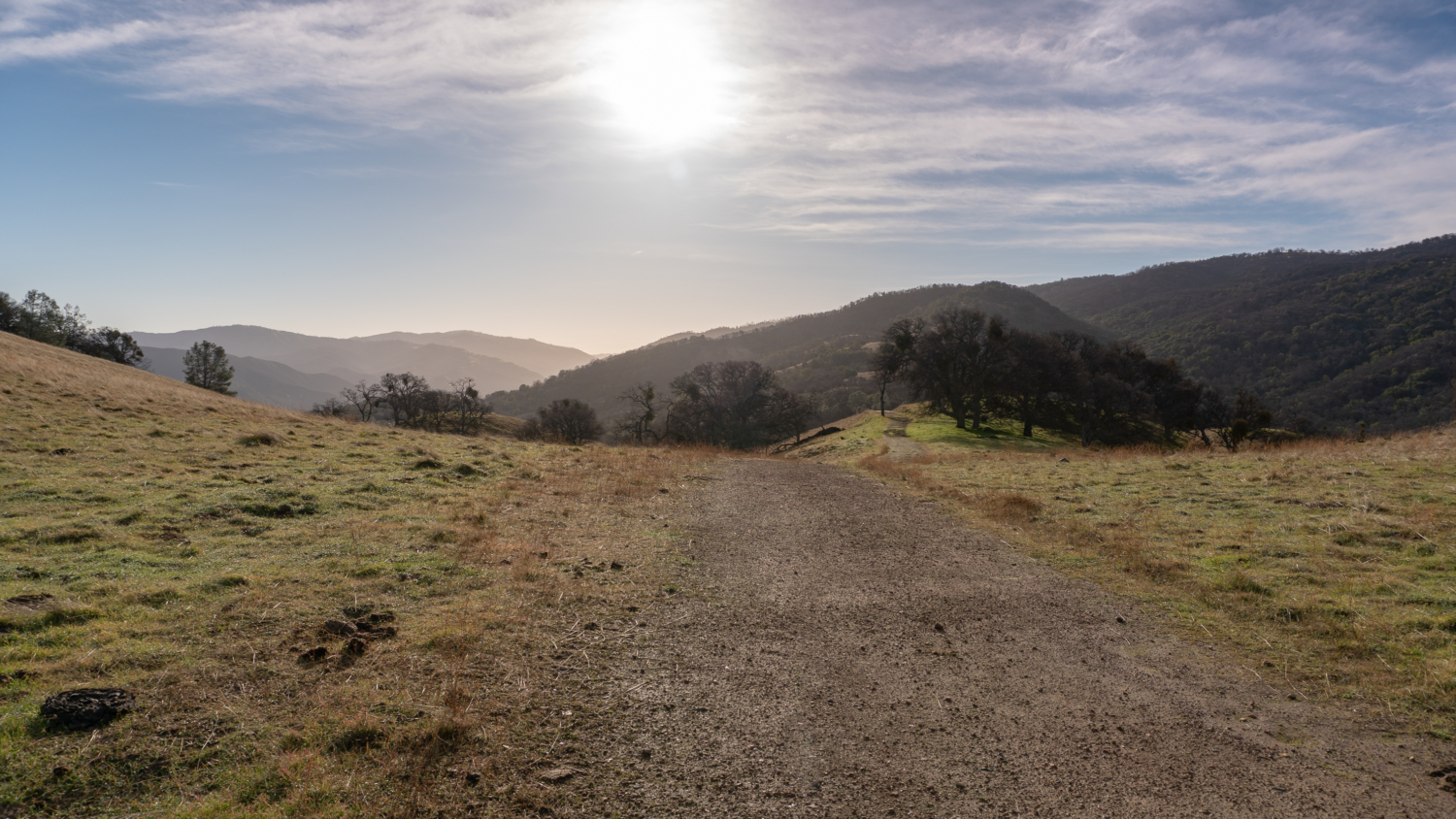
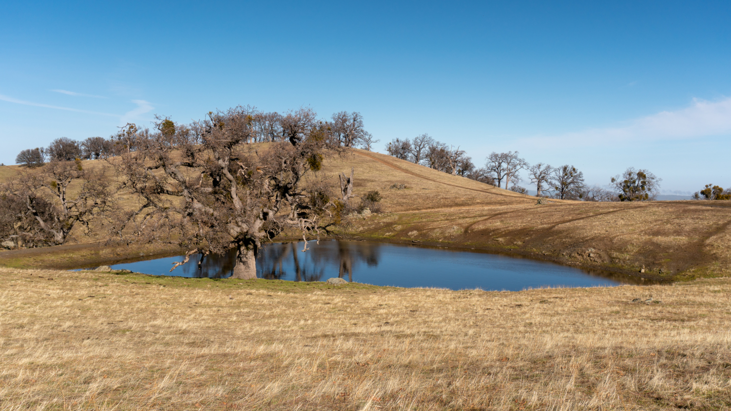
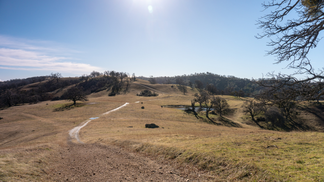
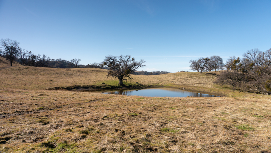
Stay straight through the grazing fields towards Johnny’s Pond on your right, named for John Fernandes, another employee of Henry Rowell worked at a slaughterhouse. Although picturesque, the water in Johnny’s Pond is not drinkable.
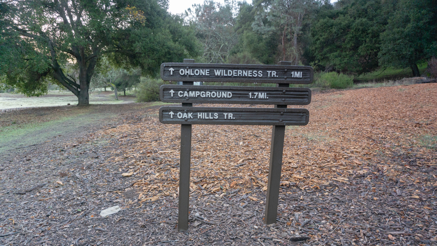
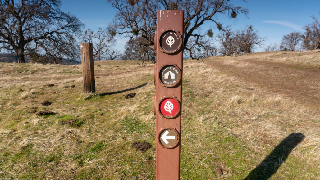
Just past the pond, at the 5.3-mile mark, turn right at a sign for Murietta Falls and Stewart’s Camp, departing the Ohlone Regional Wilderness Trail for the next 0.9 miles to Murietta Falls.

Hike west for 0.2 miles, and then turn left at the next junction towards Murietta Falls and Stewart’s Camp.
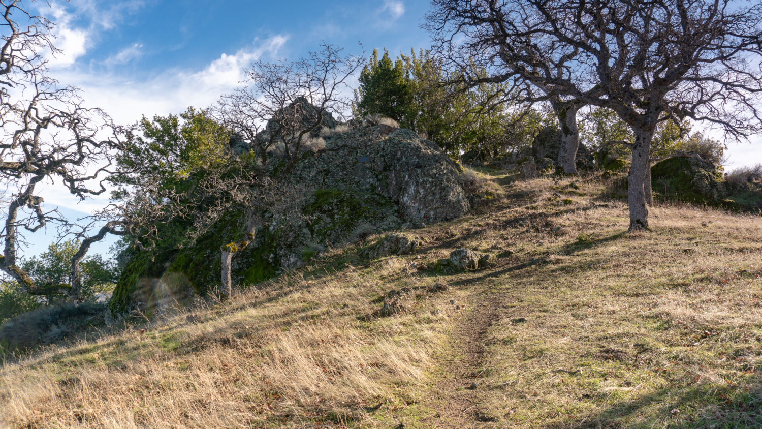
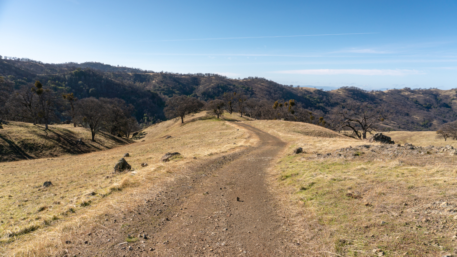
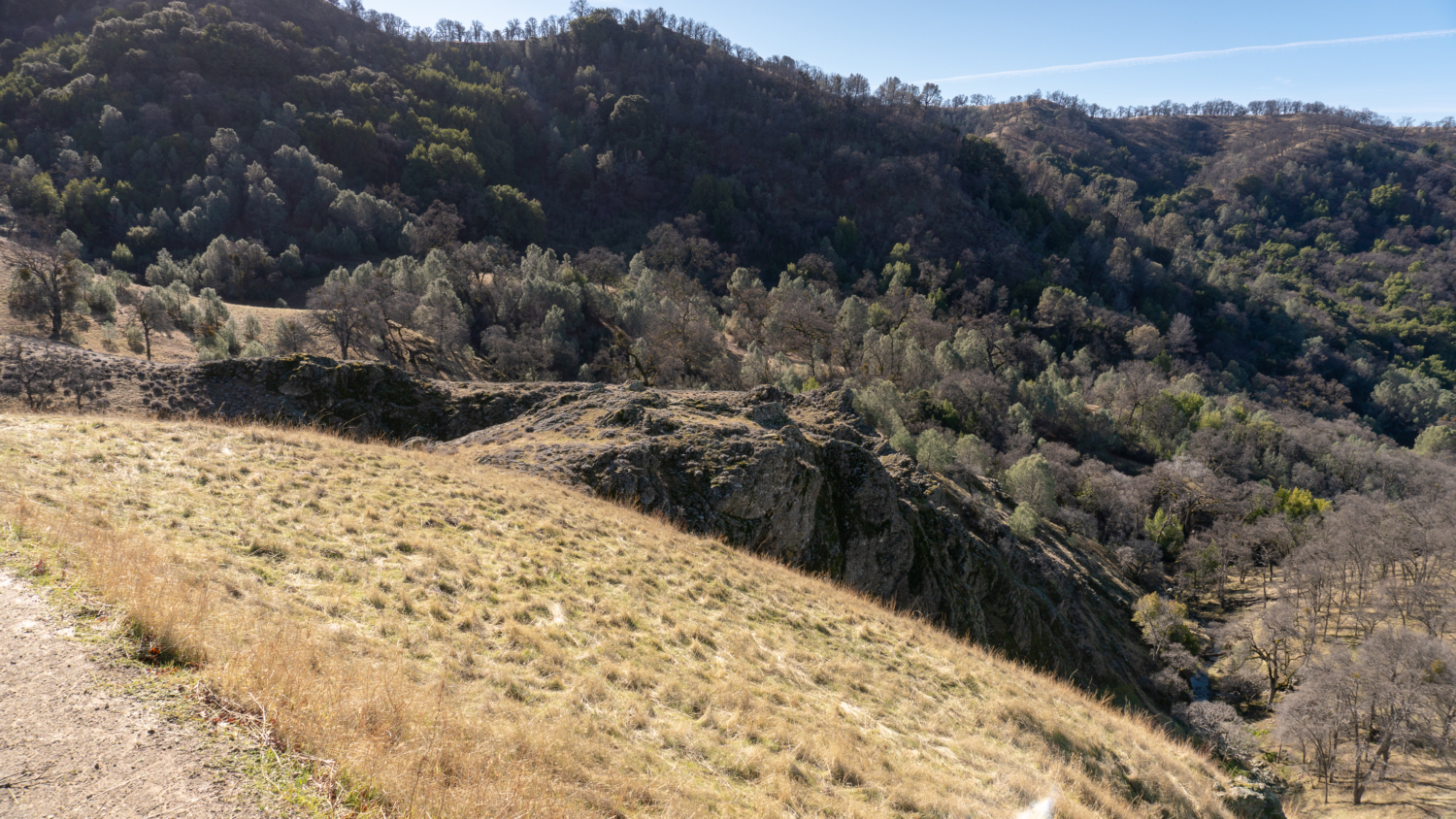
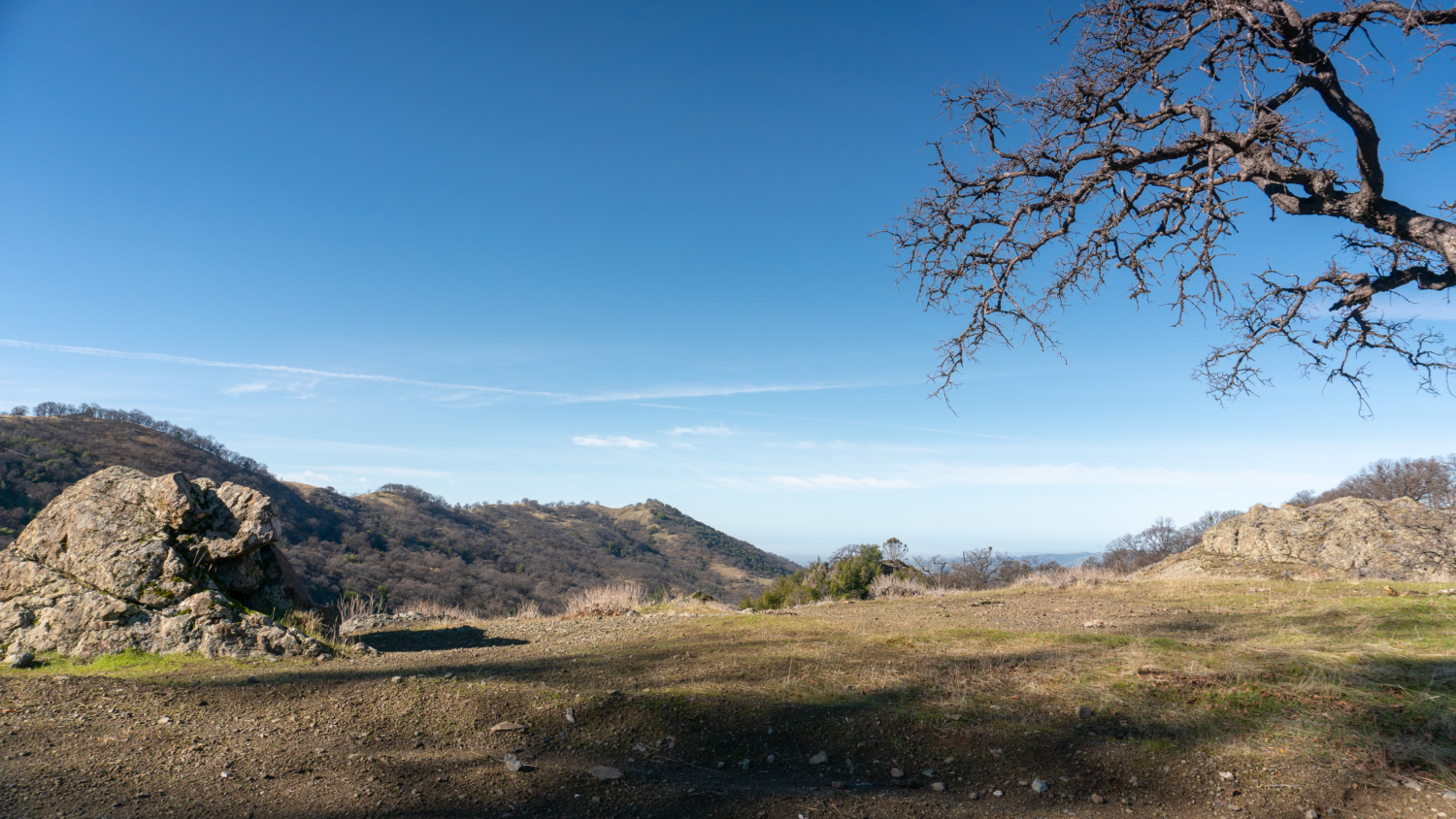
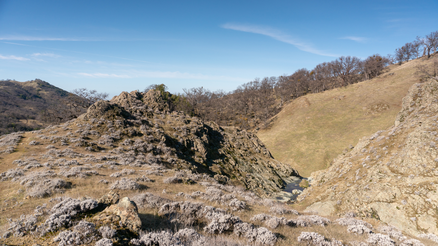
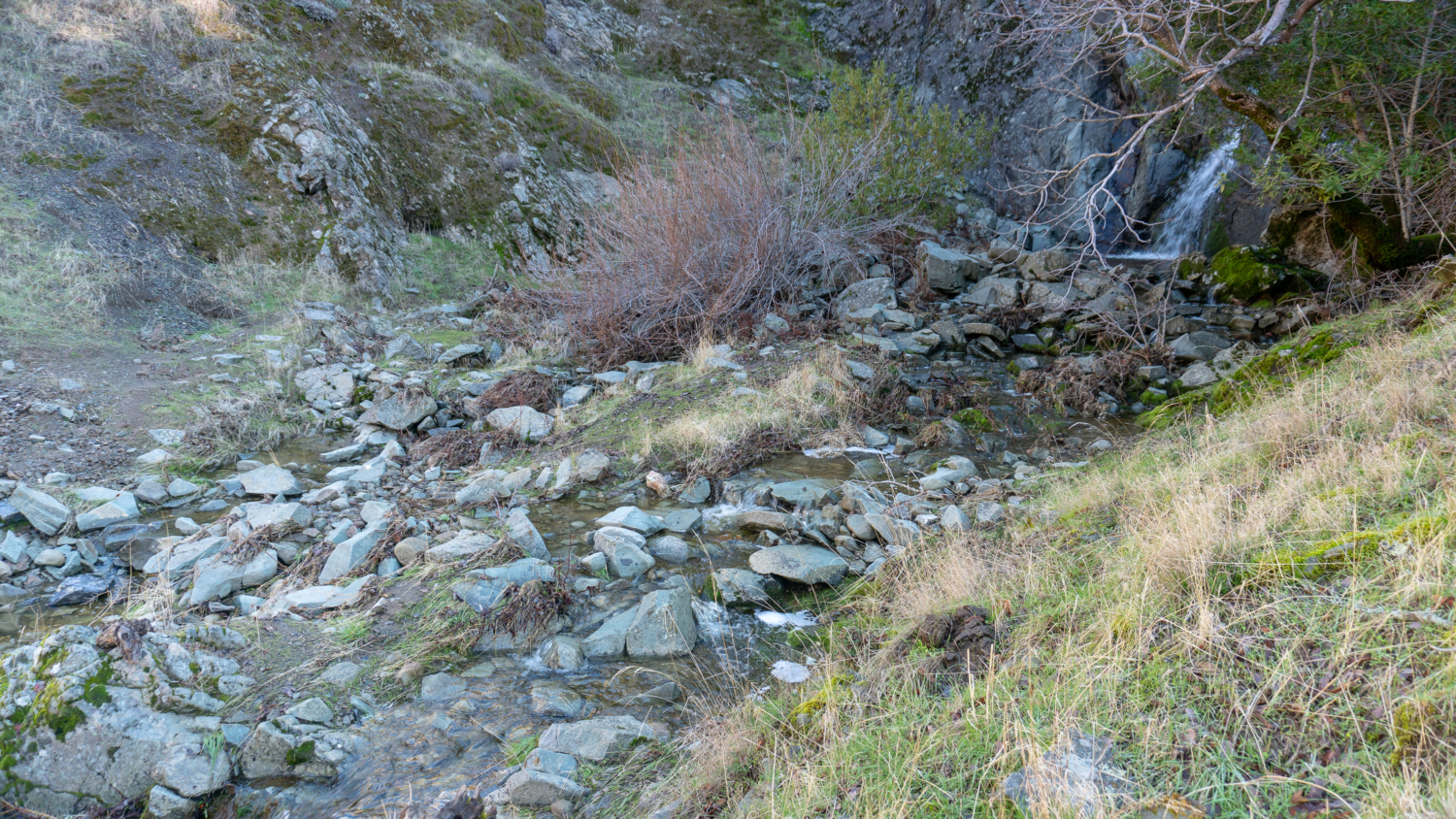
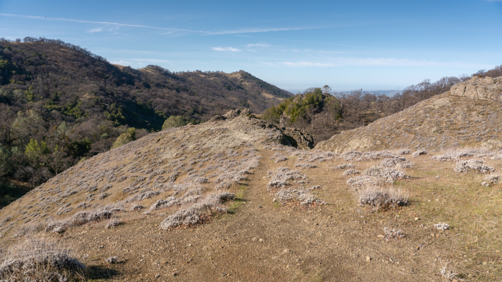
Descend 300 feet over the next 0.6 miles on an exposed road, spotting a big rocky outcrop on your right. A faint bootpath runs along the outcrop’s spine—this is the path to Murietta Falls. Cross seasonal streams running across the fire road and hike up to a hairpin turn.

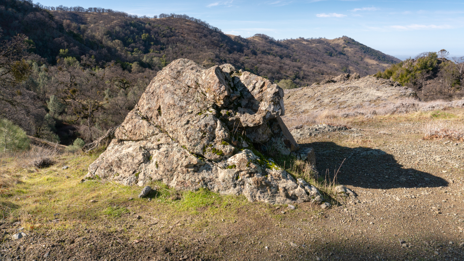
At the crux of the turn, turn right at a clearing and a kind of two-headed rock. There is no signage here, which makes finding it half the fun. Beyond the clearing is the faint bootpath. Follow the bootpath west for 0.1 mile over the rocky outcropping across a barren landscape, then scramble down the steep slope to the creek and Murietta Falls at the 6.25-mile mark.


Murietta Falls is 100 feet tall, flowing narrowly down the rock wall into a plunge pool below. There are many rocks here scattered in the gulch around the creek, so pull up a rock and enjoy your hard-earned lunch. On your hike out, you will climb back up to the high point of the trail near Johnny’s Pond and then descend Big Burn, followed by a climb out of Williams Gulch back up to Rocky Ridge. It is 1200 feet of cumulative elevation gain on your way back to the trailhead. Take your time, and have a hearty snack ready when you reach the end of your hike. You’ve earned it.
Notes:
- Leashed dogs are allowed on the Ohlone Wilderness Trail during the day. They are not allowed overnight at campsites. There is a $2.00 fee per dog. Guide dogs and service dogs are free.
- Mountain bikes are not allowed on the Ohlone Wilderness Trail. Horses are allowed.
- Check Del Valle Regional Park for current hours; the park gate’s opening and closure times vary seasonally.
- A trail map is available online here.
- There is a $6.00 vehicle entrance fee for Del Valle Regional Park.
- A $2.00 Ohlone Regional Wilderness permit is required per person for hikers age 12 and older. The permit is a fold-up topo map with details about the Ohlone Wilderness Trail. It is good for one year.
- Hiking poles are especially helpful on the climbs and the steep descents on this strenuous hike .
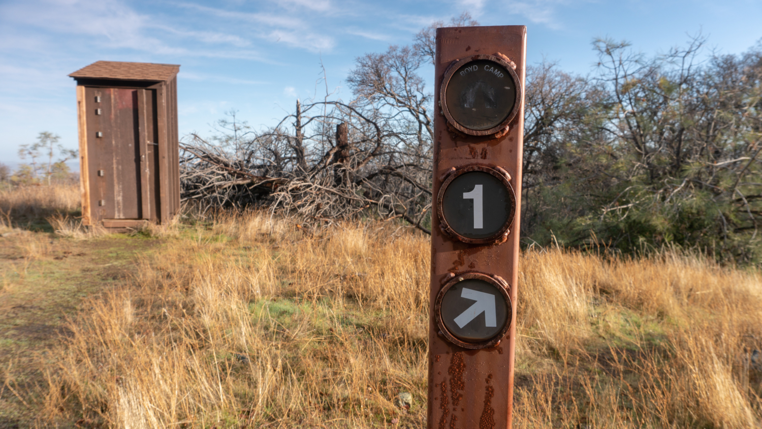
- Restrooms are available at the Lichen Bark Picnic Area at Del Valley Regional Park and at some campsites along the Ohlone Wilderness Trail.
- Rose Peak is 4.2 miles (one-way) beyond Murietta Falls, and Maggie’s Half Acre is a campground nearby.
Tags: east bay, East Bay Regional Parks, Ohlone Regional Wilderness, Ohlone Regional Wilderness Trail, Waterfall, waterfall hikes