The hike to Murhut Falls is an easy hike in Olympic National Forest that rewards visitors with a two-tiered, 130-foot waterfall plunging through old-growth forest. For best water volume, do this hike fall through spring, when the trail’s low elevation makes it easily accessible.
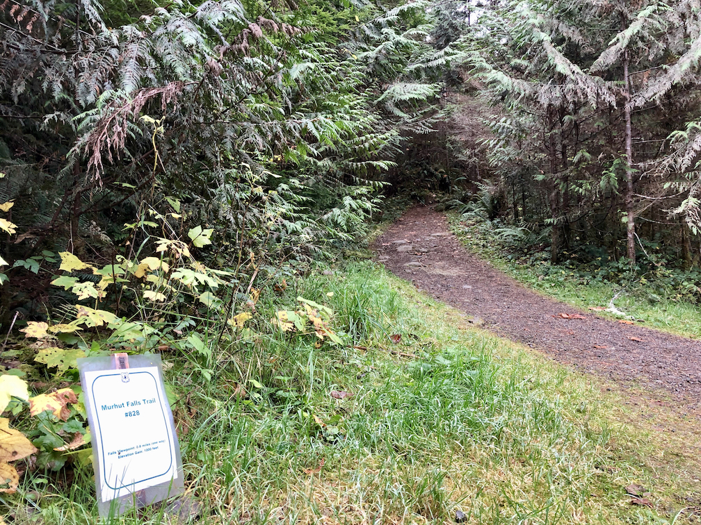
Start at the trailhead, marked by a small, laminated sign attached to a stake in the ground. Limited parking is directly across from the trailhead. Pull straight in to ensure other hikers have enough room.
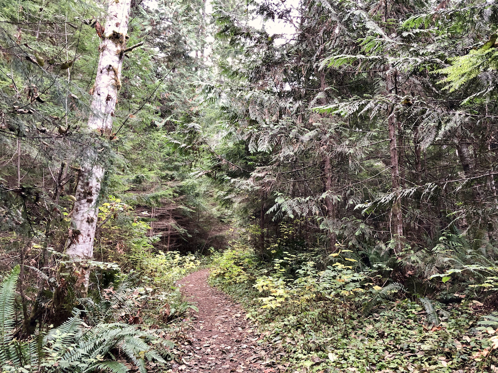
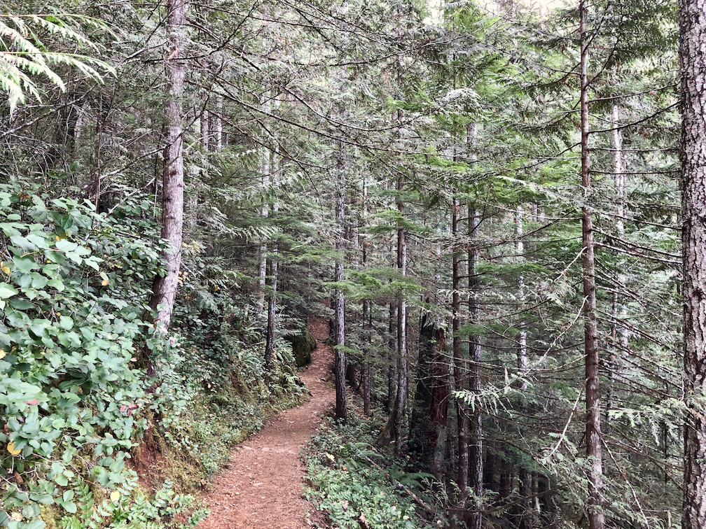
Head steadily uphill for 0.4 mile on a wide, soft Forest Service trail helpfully labeled Murhut Falls Trail #828. You’re halfway there and you haven’t even broken a sweat — another reason this is a great hike for kids.
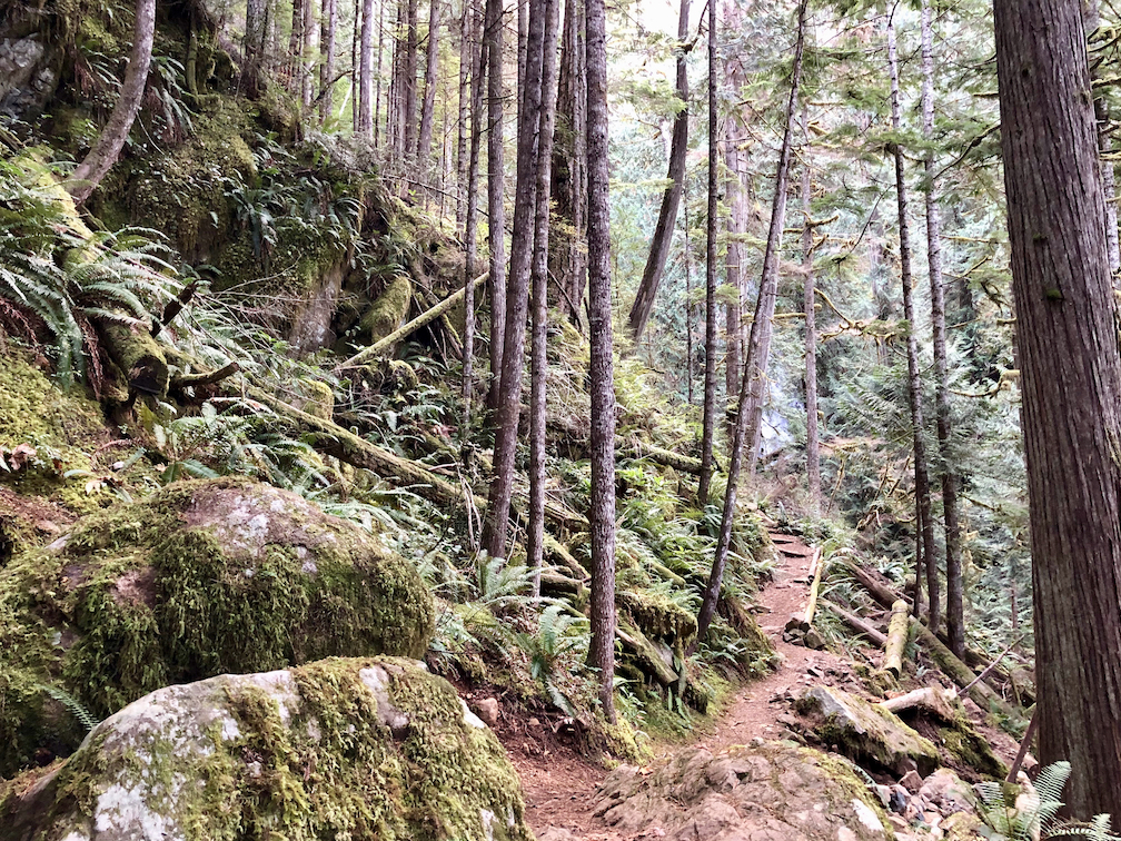
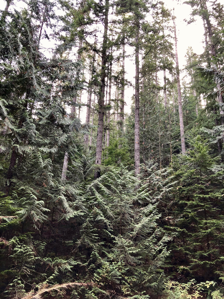
Enjoy the mixed-conifer forest, keeping an eye out for biggish trees in this second-growth stand. On the south side (your left), trees climb the gentle ridge, providing a neck-craning perspective.
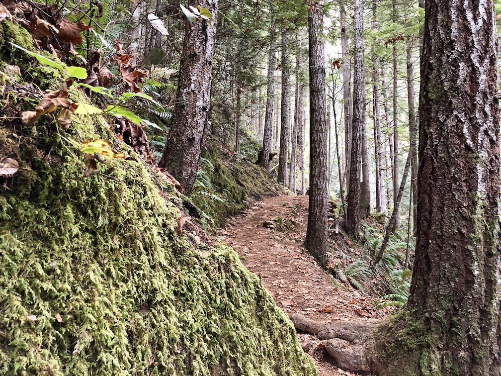
The trail levels out and begins a gentle up-and-down, following the side of the ridge to the first peek at Murhut Creek. You’ll likely hear it before you see it.
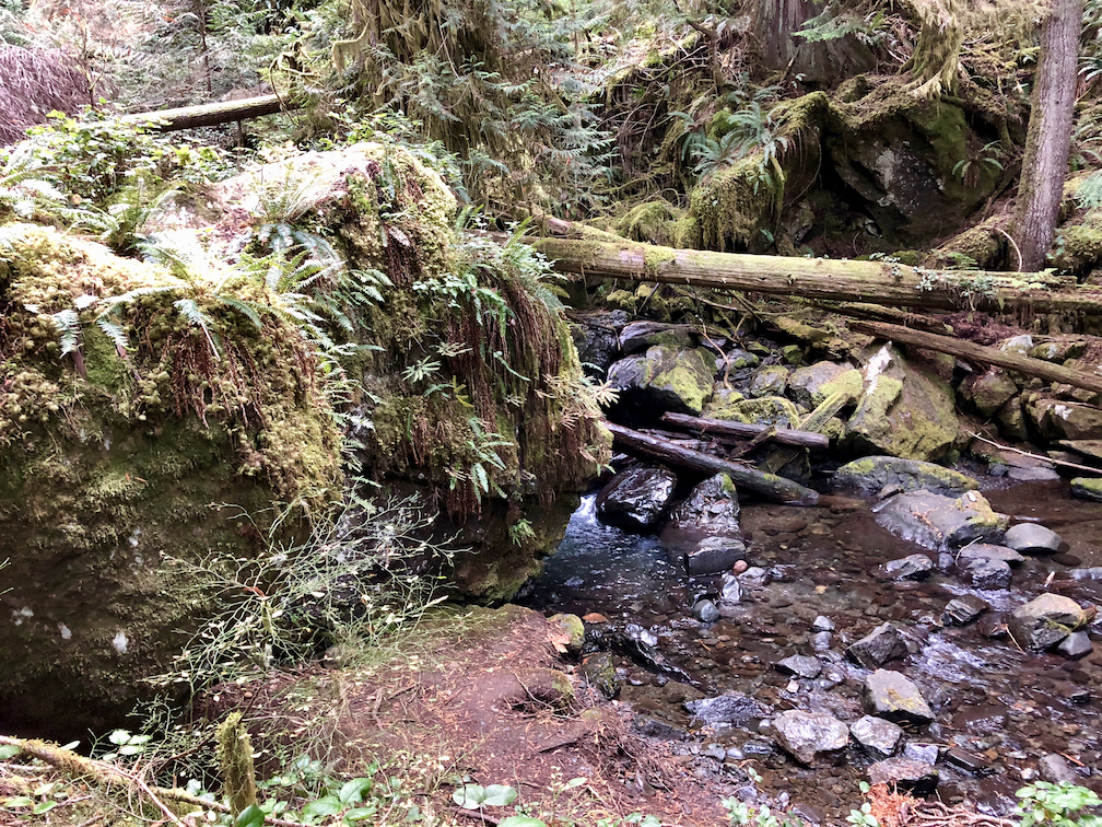
About 500 feet before the turnaround point, reach a junction. Turn right for a short walk downhill to a closer view of Murhut Creek, a few impressively moss- and fern-covered boulders, downed trees, and some minor waterfalls. From this point, the creek flows just one-third of a mile to its confluence with the Duckabush River, one of the Olympic Peninsula’s main waterways.
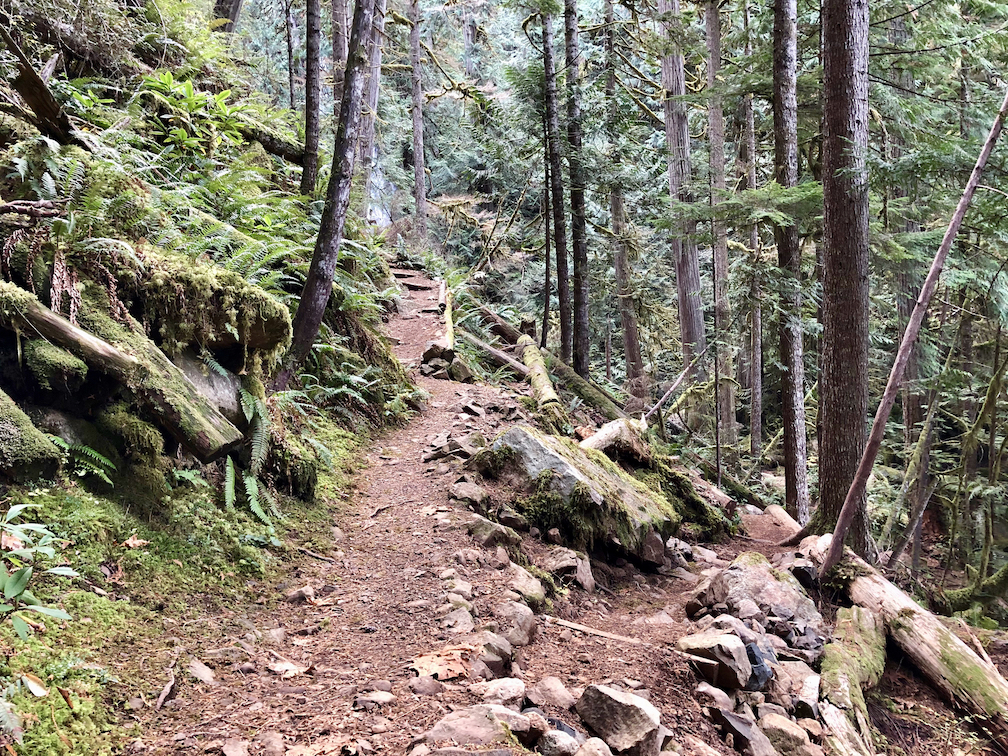
Back at the junction, turn right toward the viewpoint overlooking Murhut Falls. A split-log bench offers a place to relax and enjoy the sight and sound of rushing water and the cedar-tinged scent of the forest.
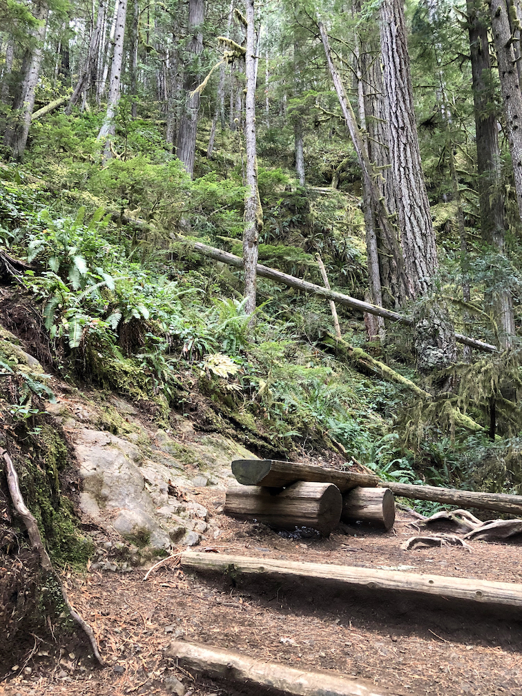
![]()
This is the best place for an unobstructed view of the 130-foot, two-tier waterfall. Note the remnant old-growth trees in the immediate area, perhaps pondering the storms that uprooted those caught in the falls. The Brothers Wilderness is about a half-mile west as the crow flies, over the ridge across the creek from the viewpoint. There’s no trail, though. Be content in the knowledge that statutory wilderness is not far away.
When you’ve soaked up enough spray, turn around and head back to the trailhead, less than a mile away and mostly downhill. On the way out, pull over just before or after the bridge over the Duckabush River. It’s worth a stop for a look at the river’s deep blue water, tinted by glaciers 15 miles upstream.