The Willamette Valley teems with close-at-hand hikes, and the Eugene-Springfield area is no exception. With more than 12 miles of interconnected paths across swathes of hilly forestland, the Ridgeline Trail system is a favorite of locals and visitors alike. You can choose to start from one of seven trailheads, and it’s easy to tailor your hike to the length and difficulty level you’re looking for (in my opinion, the most fun is the highest point in the system, Spencer Butte). Best of all, though: if you’re starting from Eugene, the Ridgeline trails take no more than a 20-minute drive to reach.
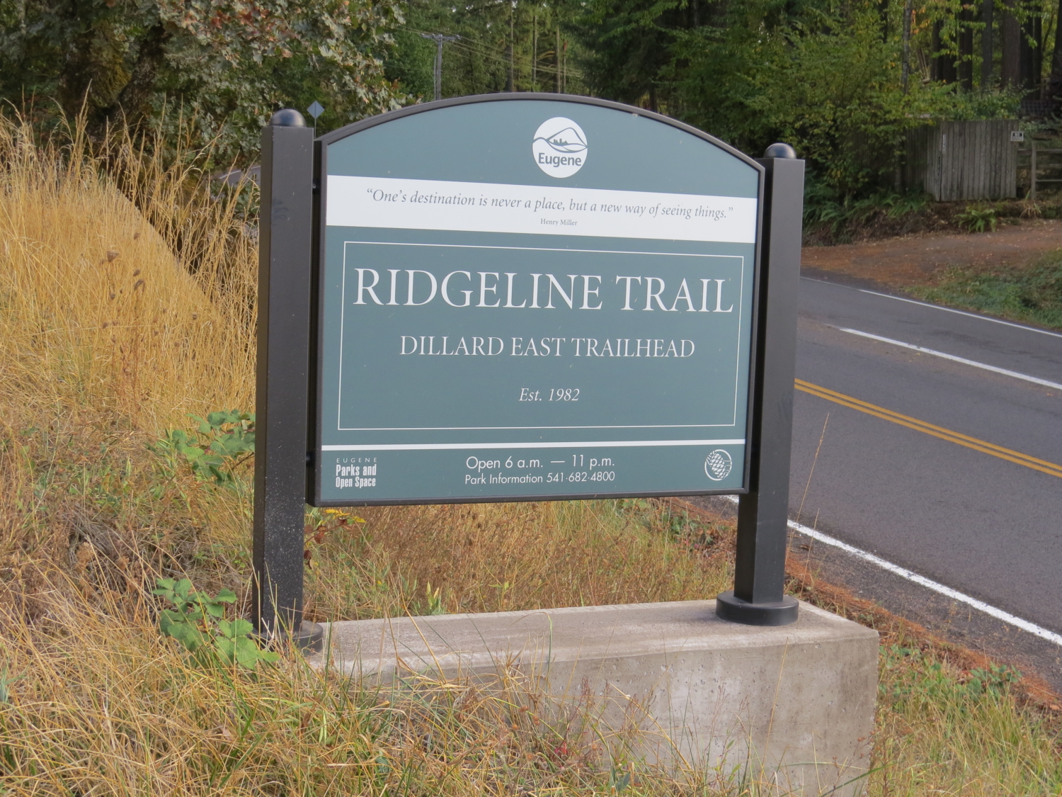
You’ll definitely want to give the 2,065-foot Spencer Butte a try, but if you’re looking for a milder hike, Mount Baldy can offer you views of the city without too much of a struggle on your part. The hike starts at the Dillard East Trailhead. Although it begins with a transmission tower and a highway, you quickly leave their presence as you head up the hill into the happy embrace of trees and undergrowth.

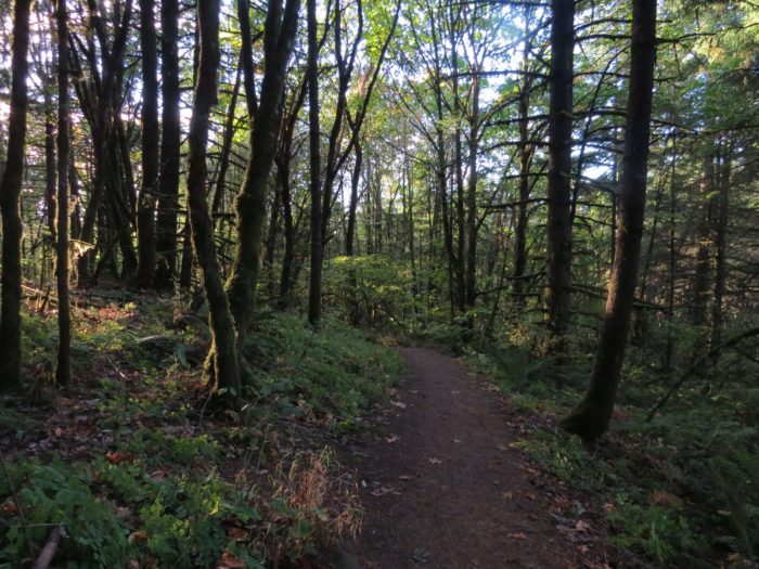
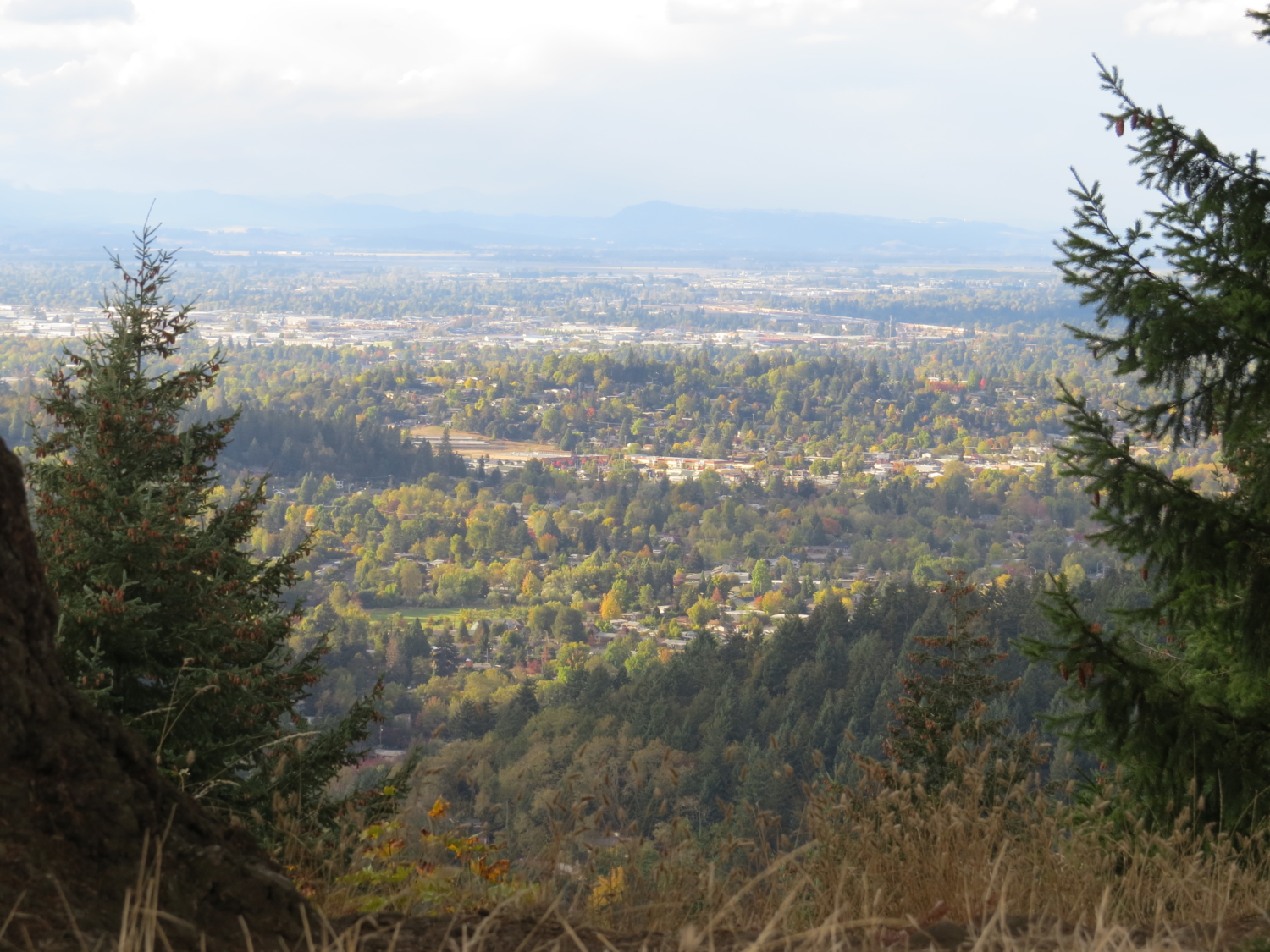
You’ll climb through some nicely shaded path, surrounded by characteristic Pacific Northwest greenery. Keep an eye out for Pacific madrone trees, with their papery, auburn-colored bark and waxy leaves, and of course, plenty of evergreens. You don’t have to wait long to glimpse your first view of the city, about a quarter mile into the hike.

The trail meanders upwards, and you’ll encounter a slightly steep part before emerging into the openness of the top, only a half mile from the trailhead.

You can catch views on both sides of the hill, from the rural countryside of north Lane County to the more urban landscape of Eugene proper.

At this point you can choose to go back to the parking lot, or continue to explore the backside of Mount Baldy on a trail that continues on for another half mile. The meadow-like views on the top give way again to shaded dampness and the familiar low light of a dense Oregon forest. You’ll follow the trail’s mild twists and turns, catching a few more views of the valley below (and rainbows, if you’re lucky) to remind you that you’re on a hilltop.

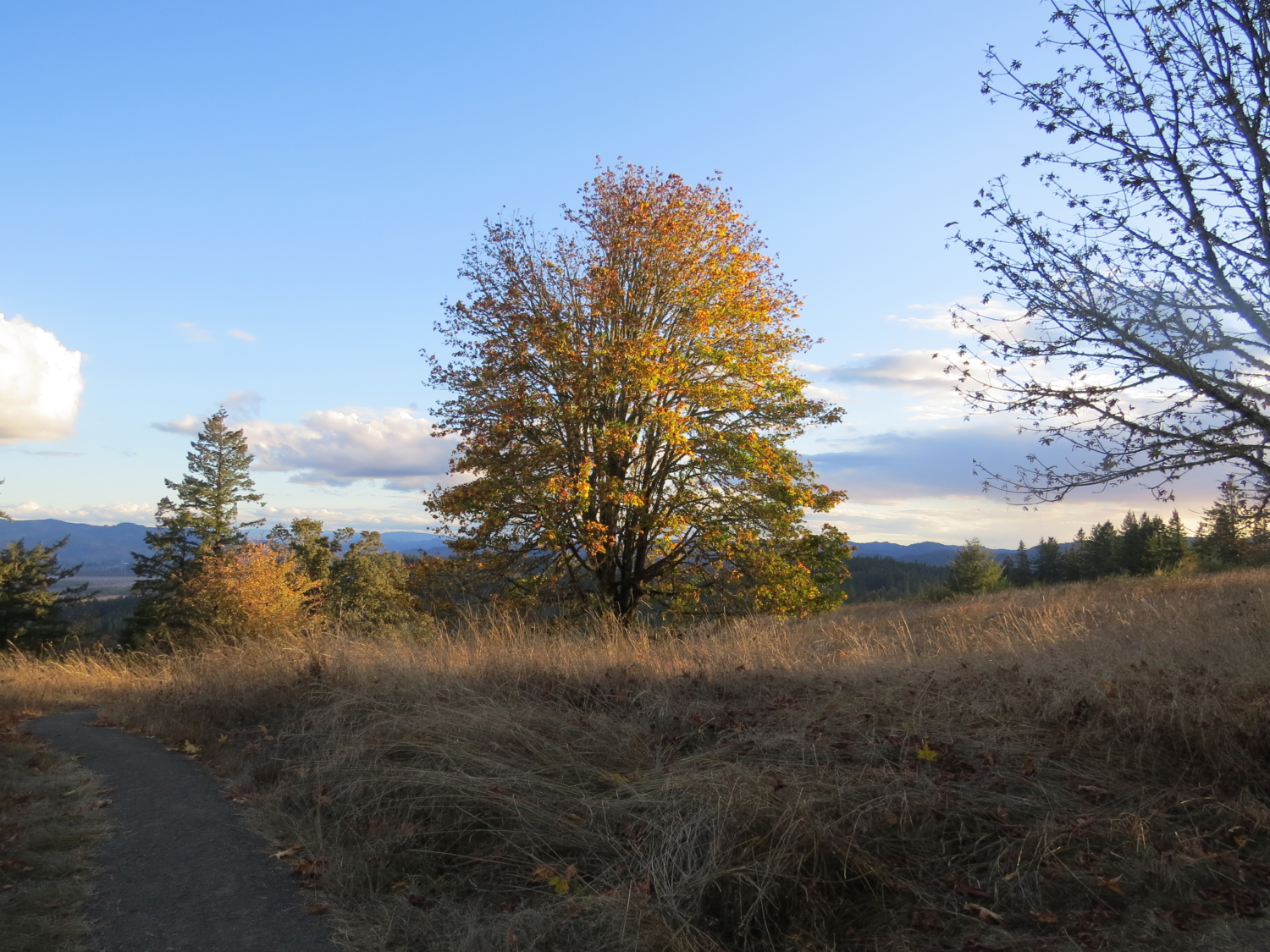
 Eventually, the trail ends abruptly at the doorstep of a paved neighborhood, which is the Spring Boulevard Trailhead of the Ridgeline Trail. You can retreat back into nature and retrace your steps as you once again summit Mount Baldy. From the top, either go back the way you came or choose the slightly less direct mountain bike route – a gravel path that provides new views of the scenery below and usually isn’t too crowded with cyclists. In the fall, you also get the added pleasure of trees turning red and yellow in the late afternoon sunlight.

Tags: Eugene, Lane County, Ridgeline Trail, Springfield, Willamette Valley


