Mission Peak is a 2,517-foot summit east of the San Francisco Bay in Fremont. This steep, challenging hike gains over 2,000 feet in 3.1 miles to 360-degree views. Mount Tamalpais, Mount Diablo, Mount Hamilton, and the Santa Cruz Mountains encircle the peak on clear days. Rolling pastures in Mission Peak Regional Preserve unfold like a carpet beneath grazing cows, wild turkeys, and ground squirrels. Mission Peak is one of the most popular hikes in the Bay Area and hundreds of people hike it every weekend.
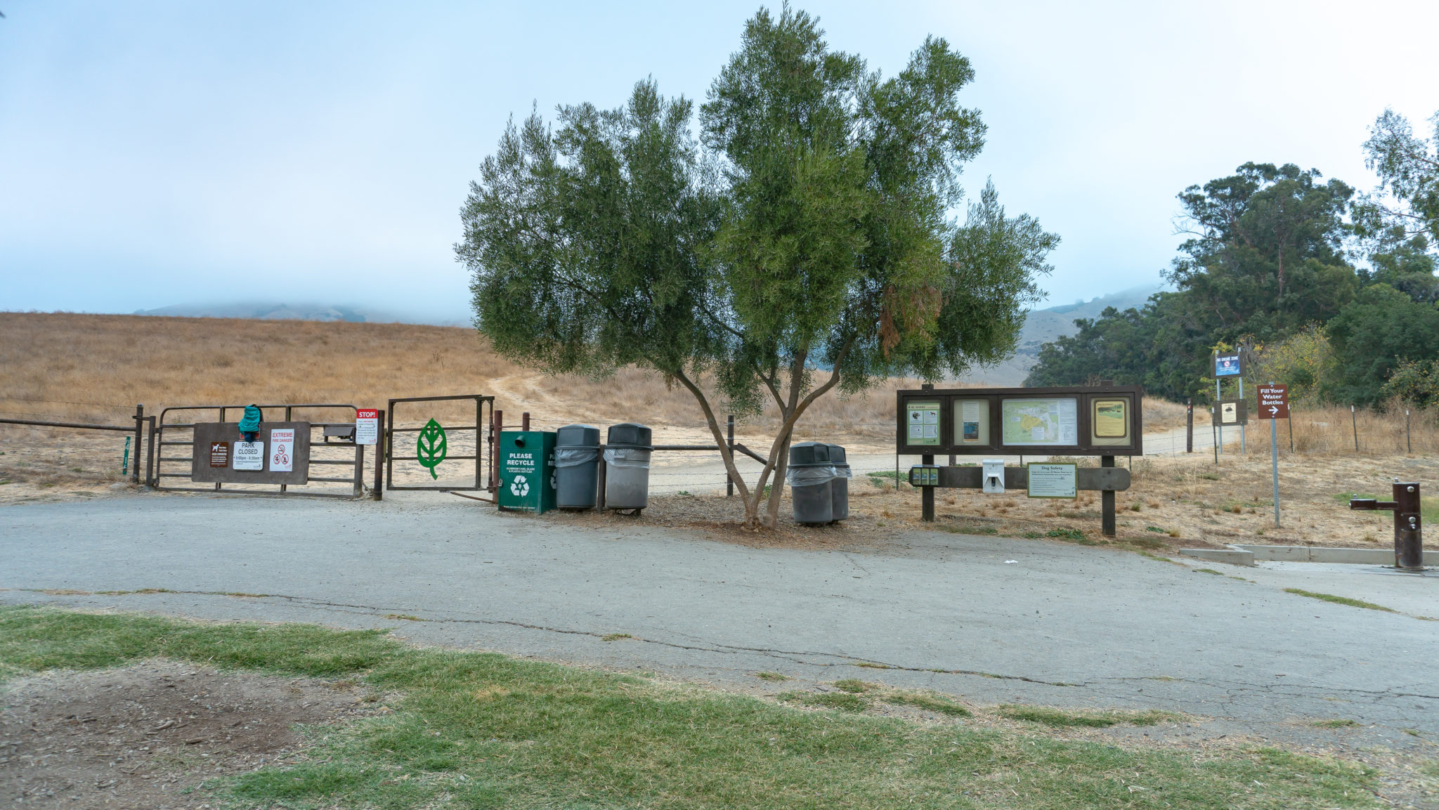
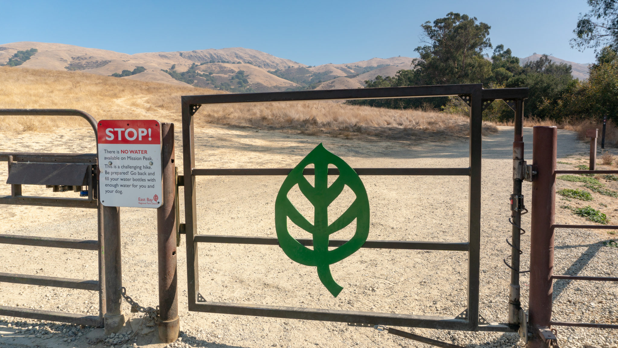
There are two main trailheads for Mission Peak: Stanford Avenue and Ohlone College. This description starts at the Stanford Avenue trailhead and is considered the “main” route. The main route is 6.2 miles roundtrip while the Ohlone College route is 6.75 miles roundtrip. The elevation gain for each is 2100 feet. Stanford Avenue has free but limited parking and a potable water source at the trailhead. The Ohlone College approach has more shade, more solitude, and more parking in the Ohlone College multi-story parking garage ($4 fee). Once you have done the Stanford Avenue route, try the Ohlone College route to help preserve the trail and cut down on foot and vehicle traffic at the Stanford Avenue trailhead. See Notes for more info.

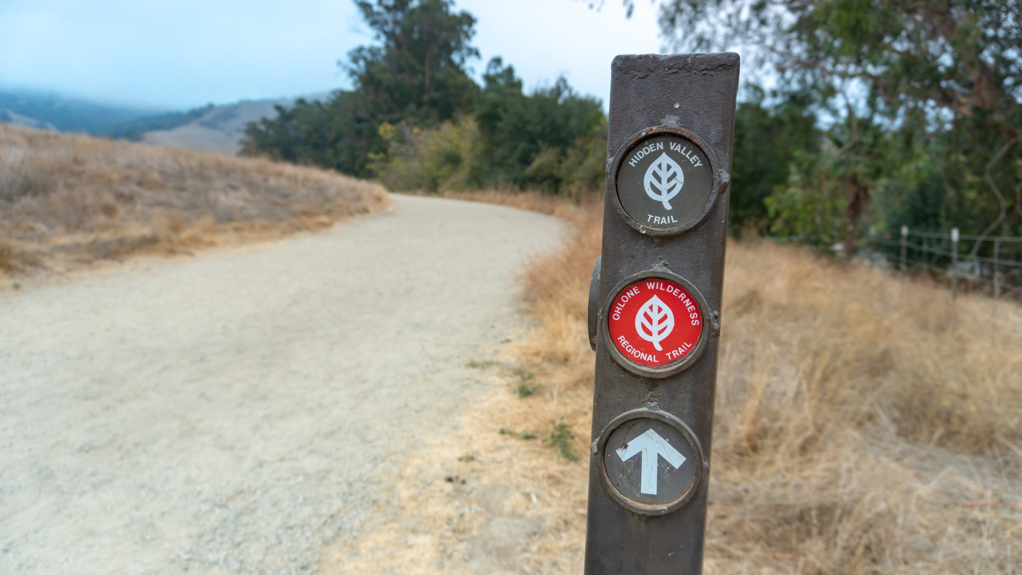
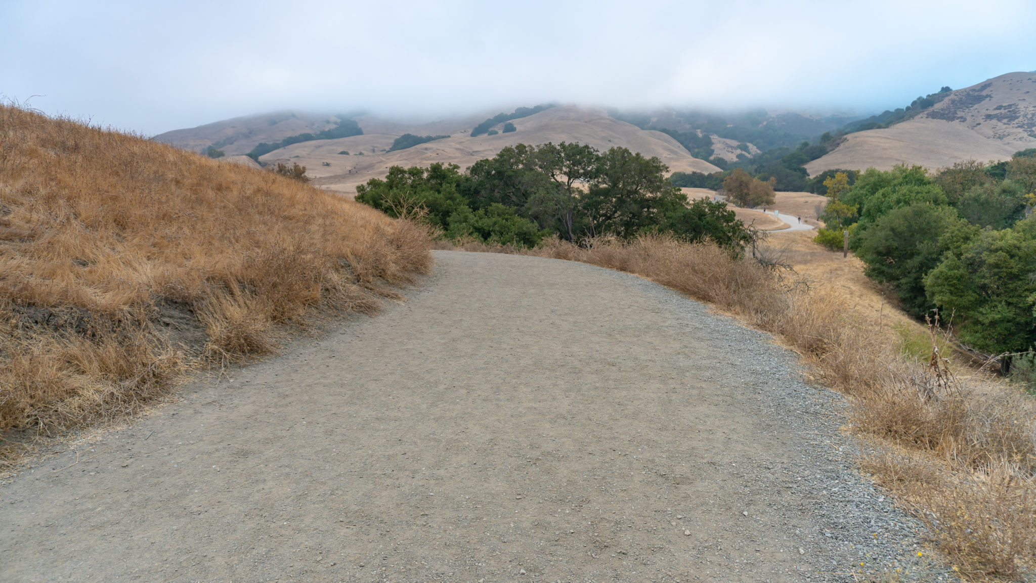
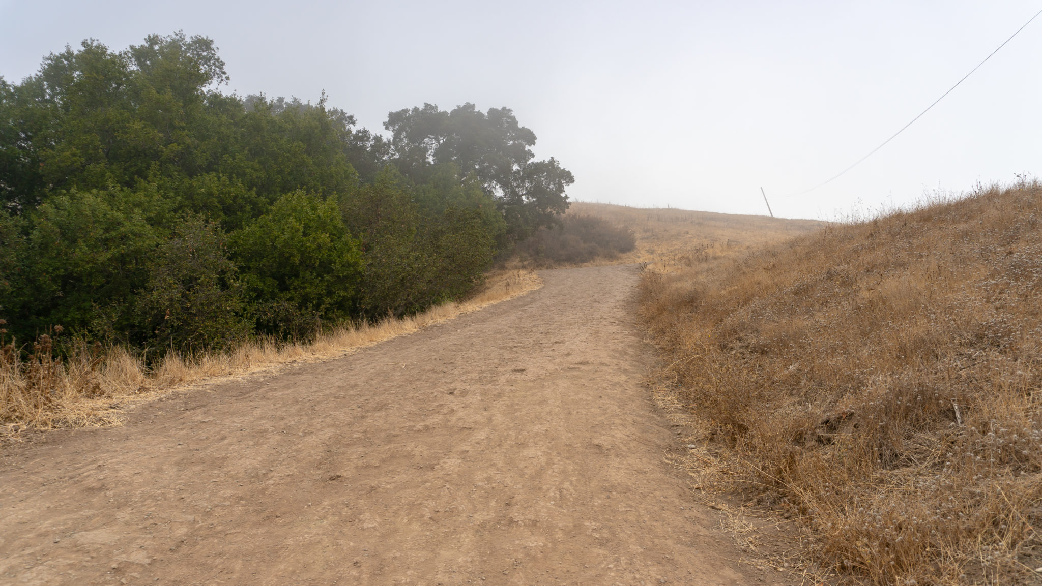
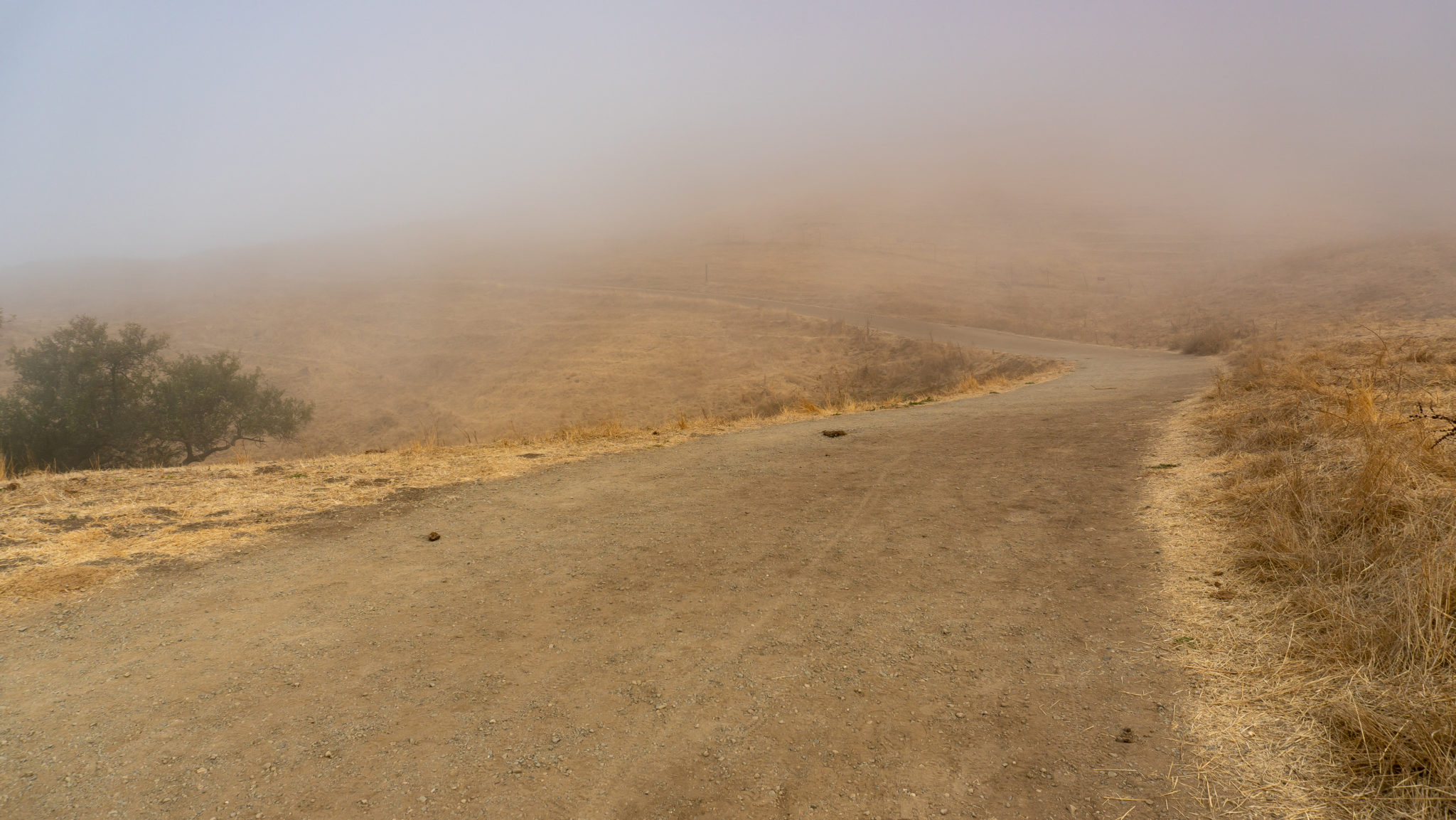
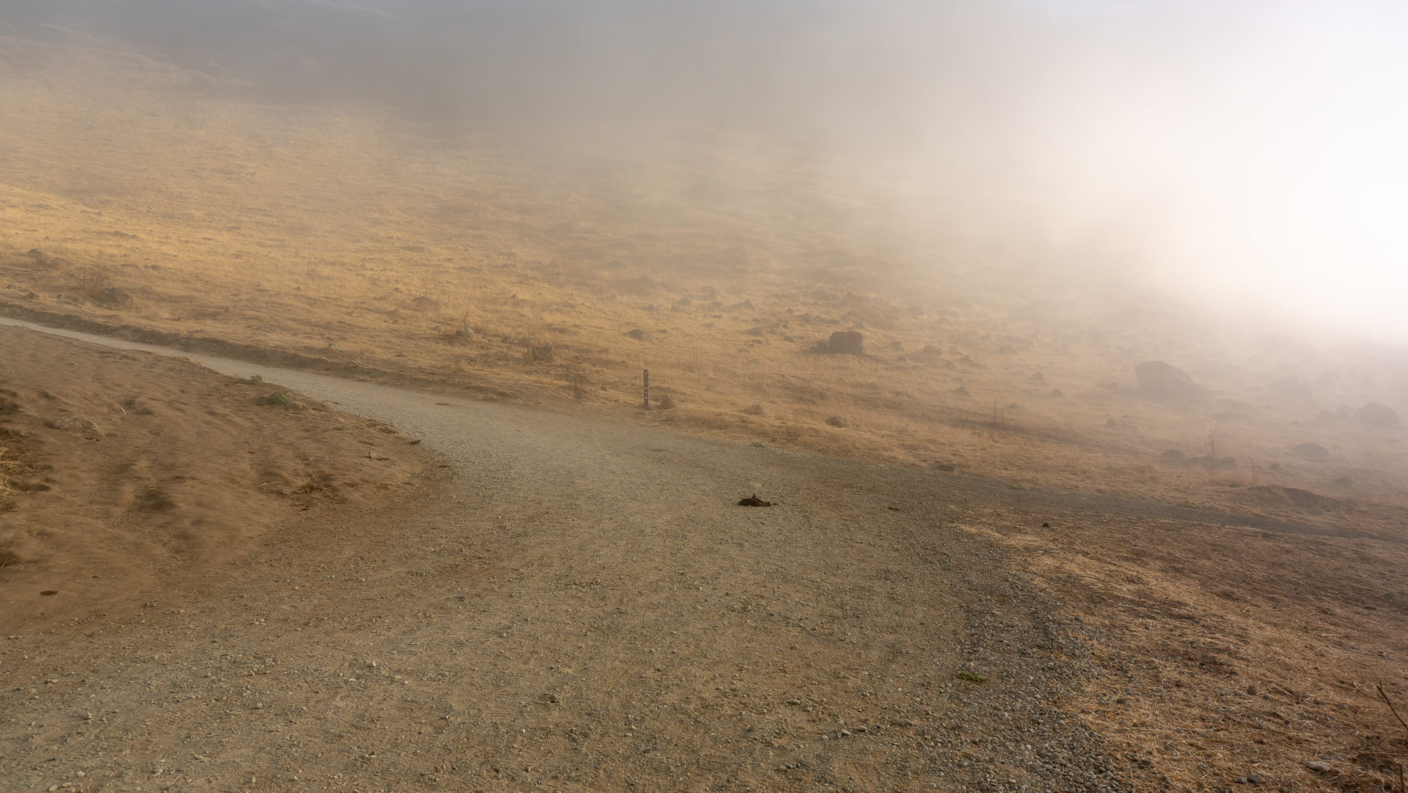
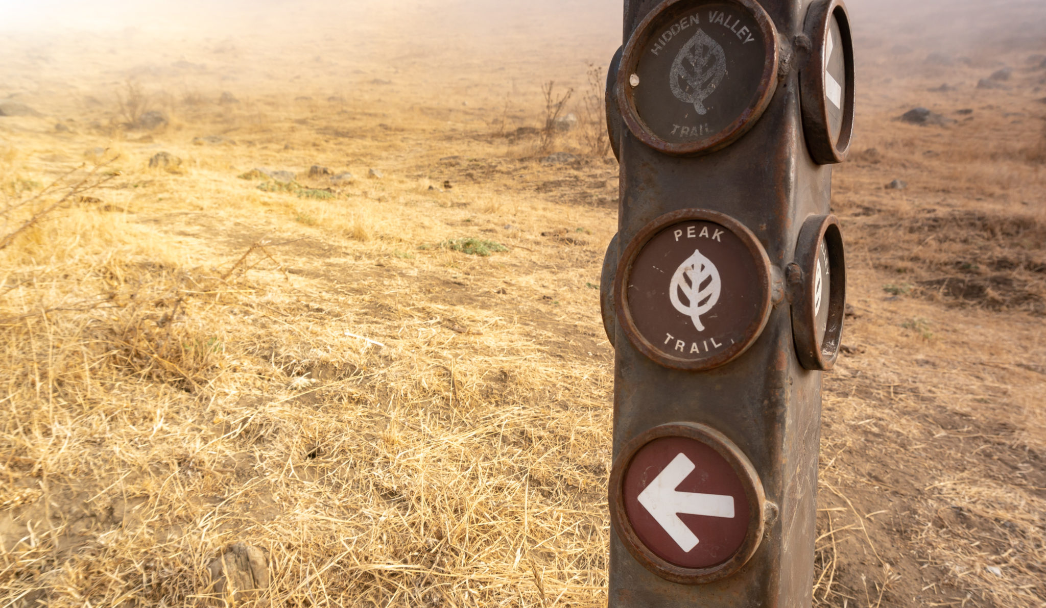
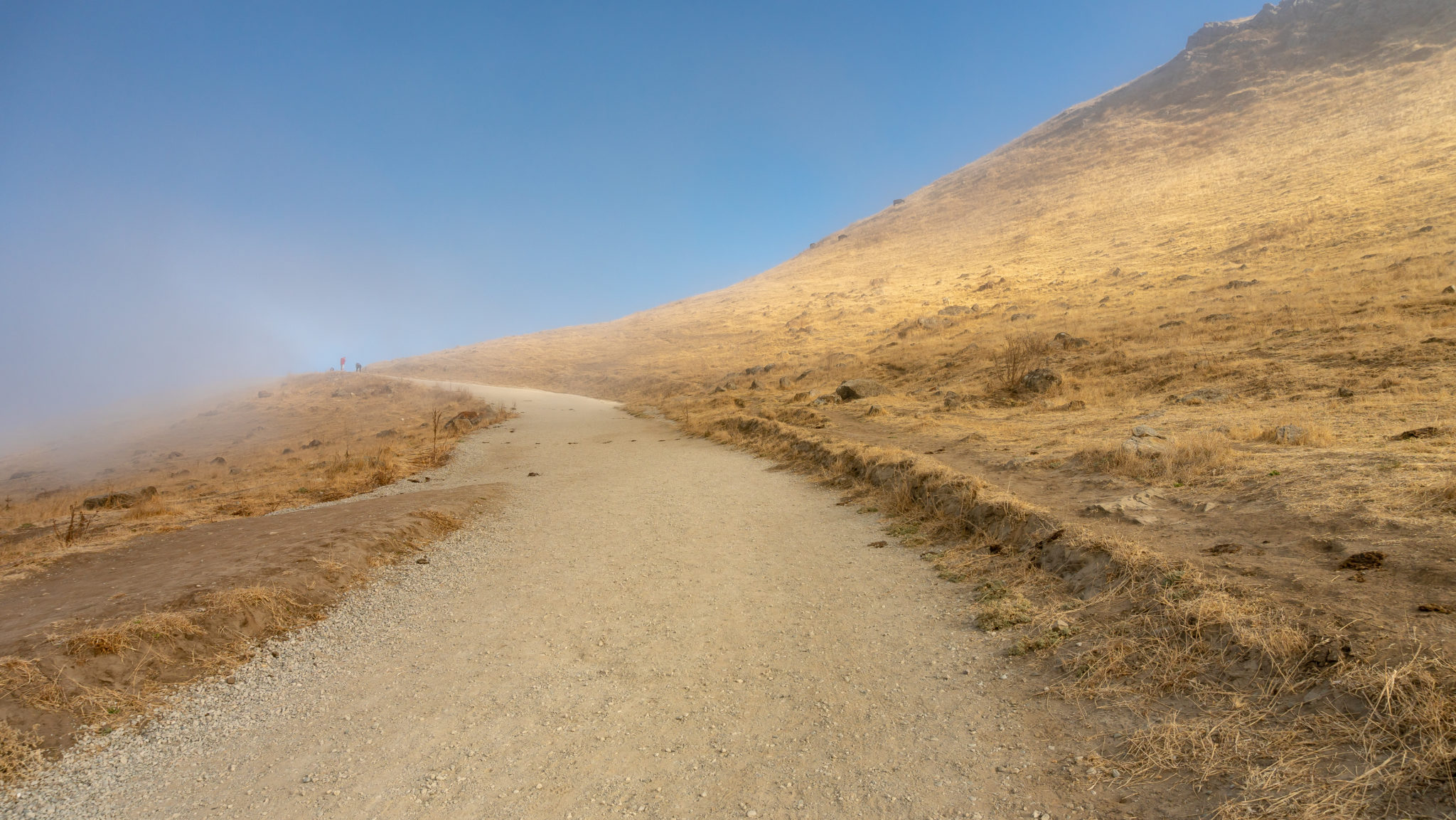
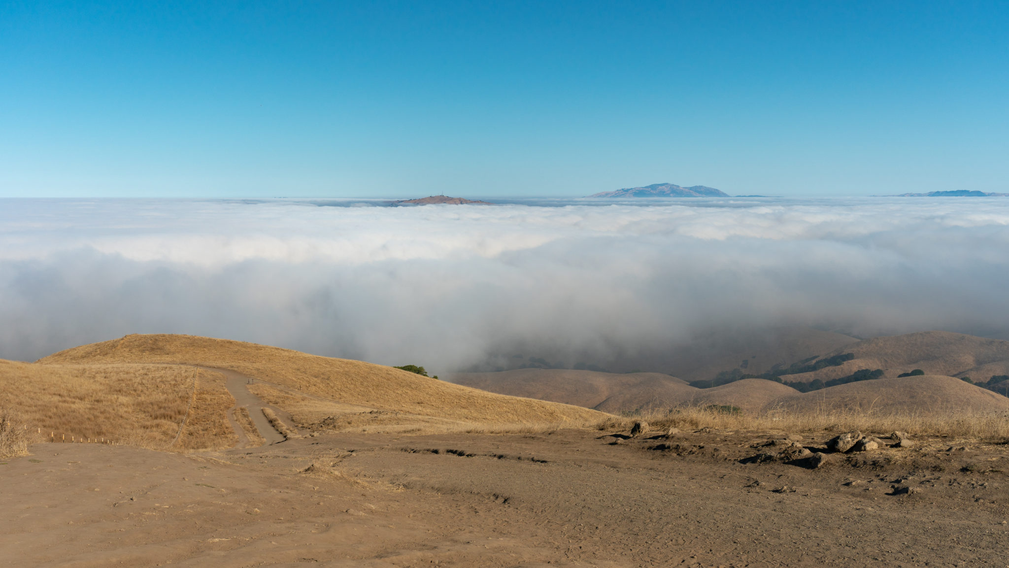
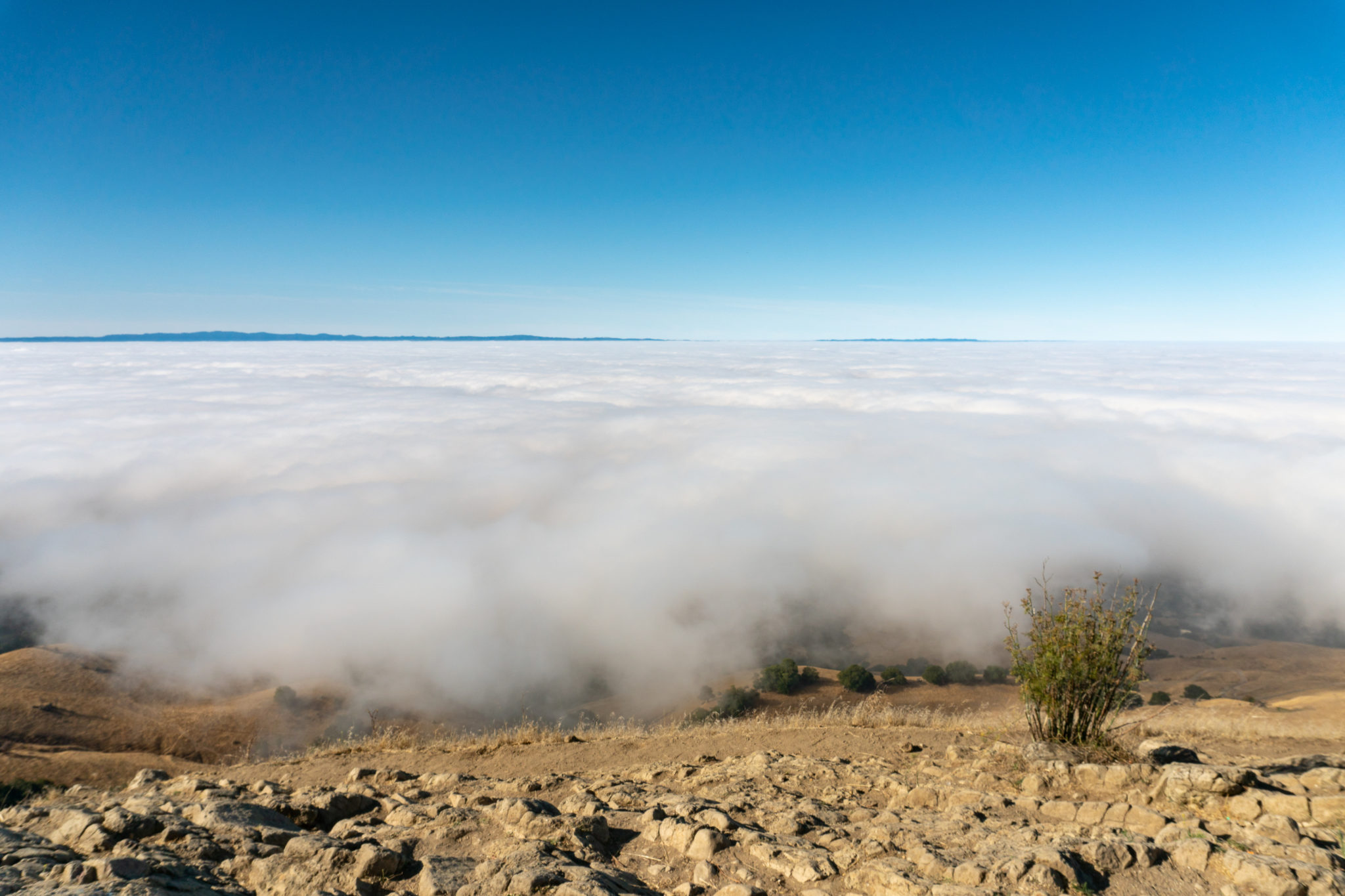
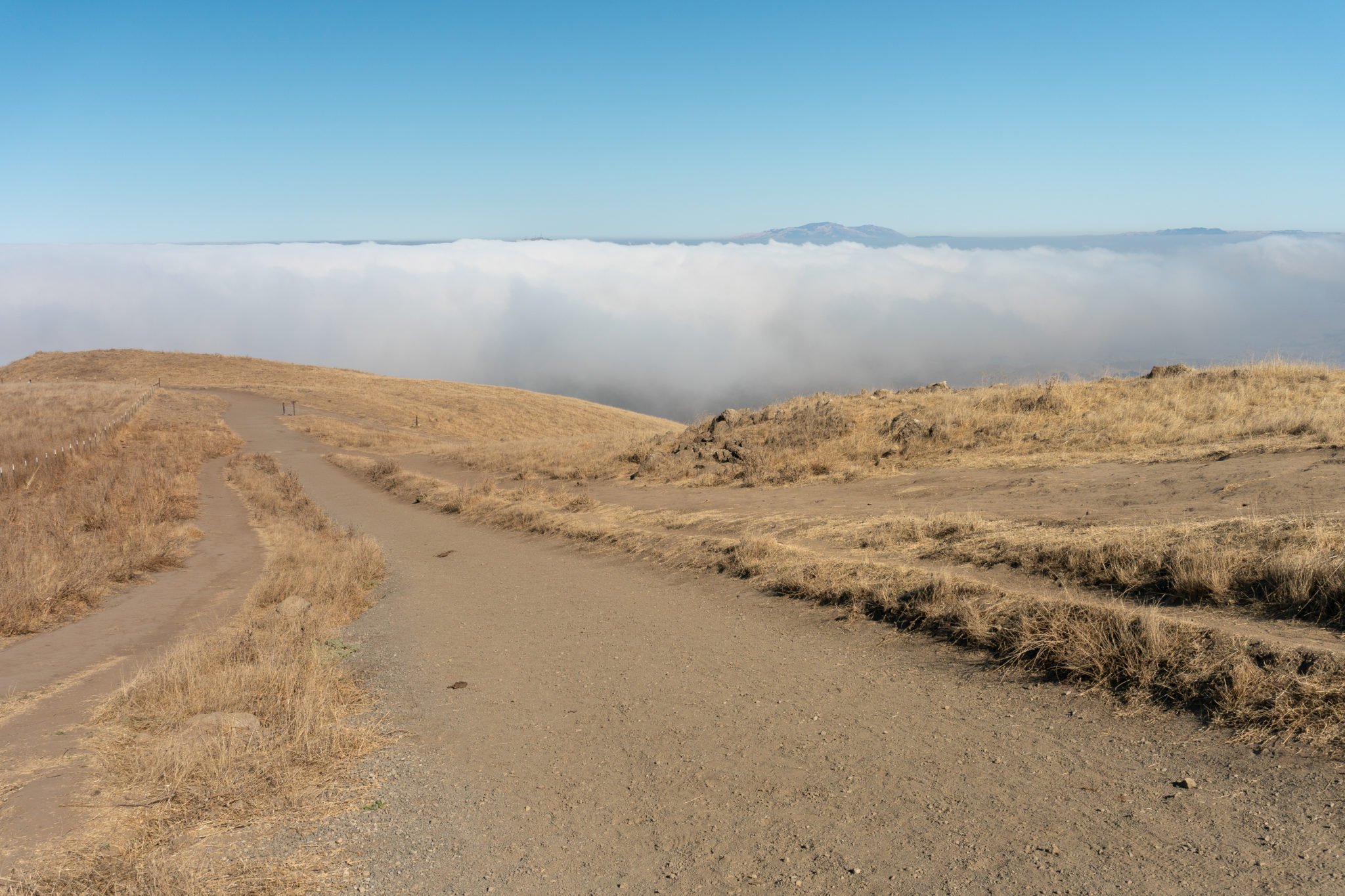
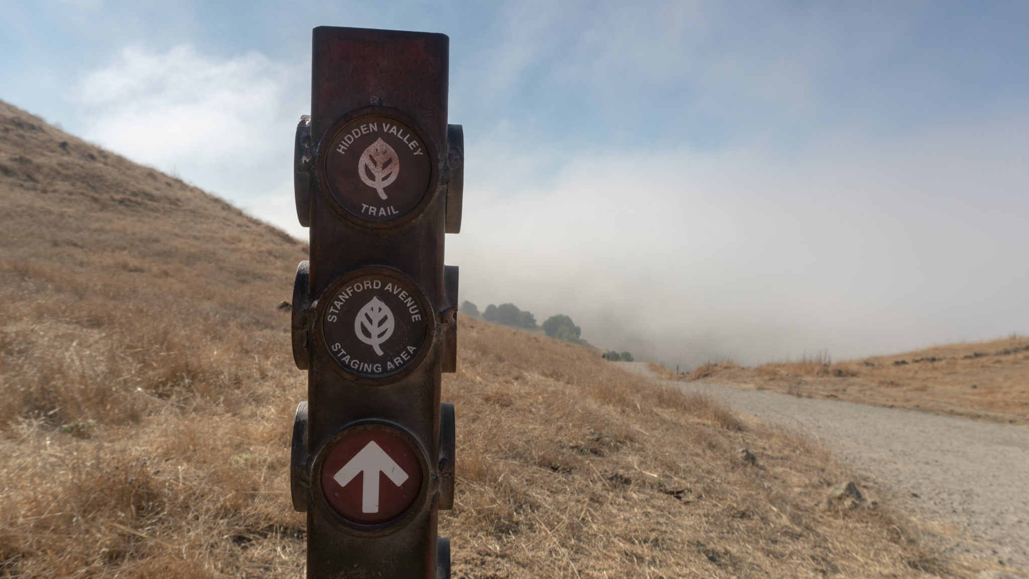
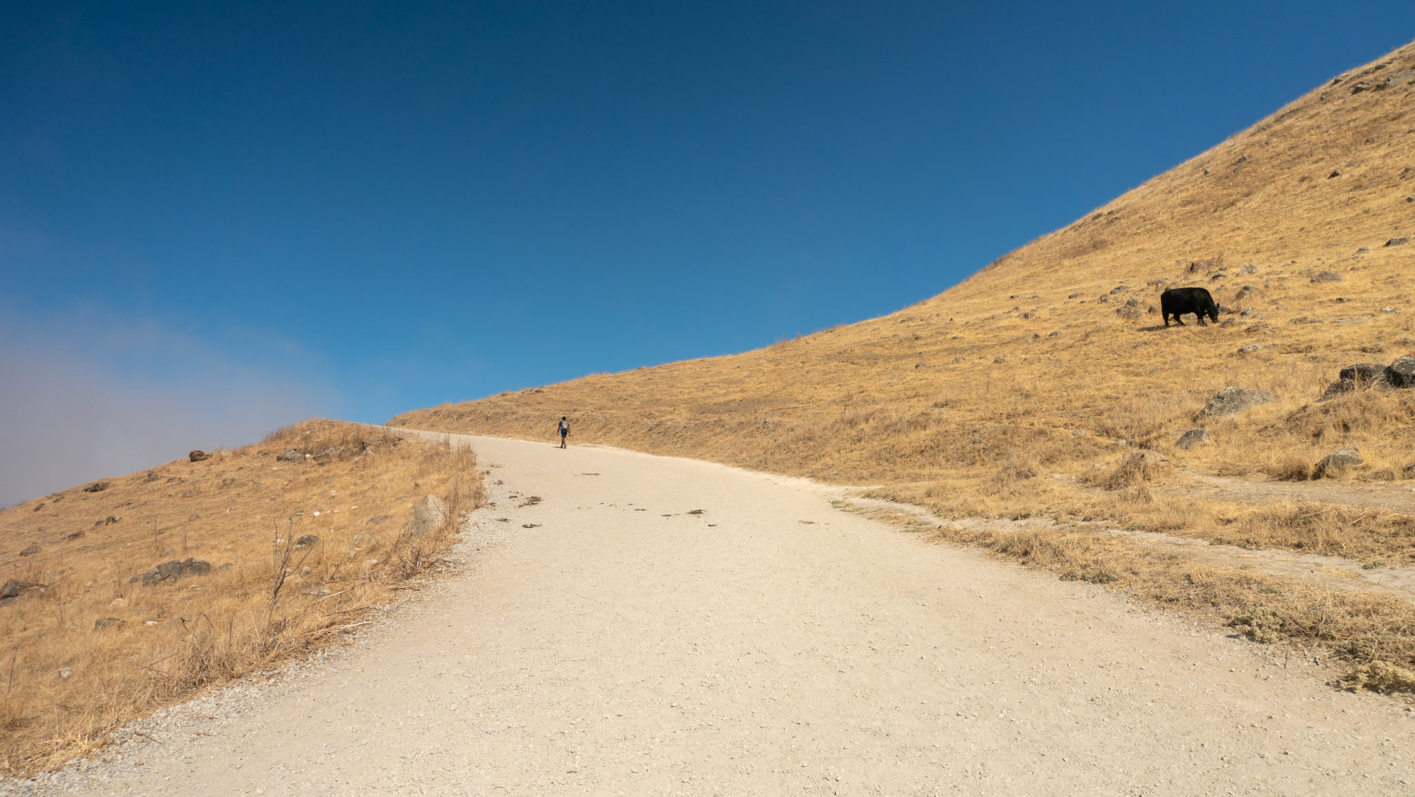
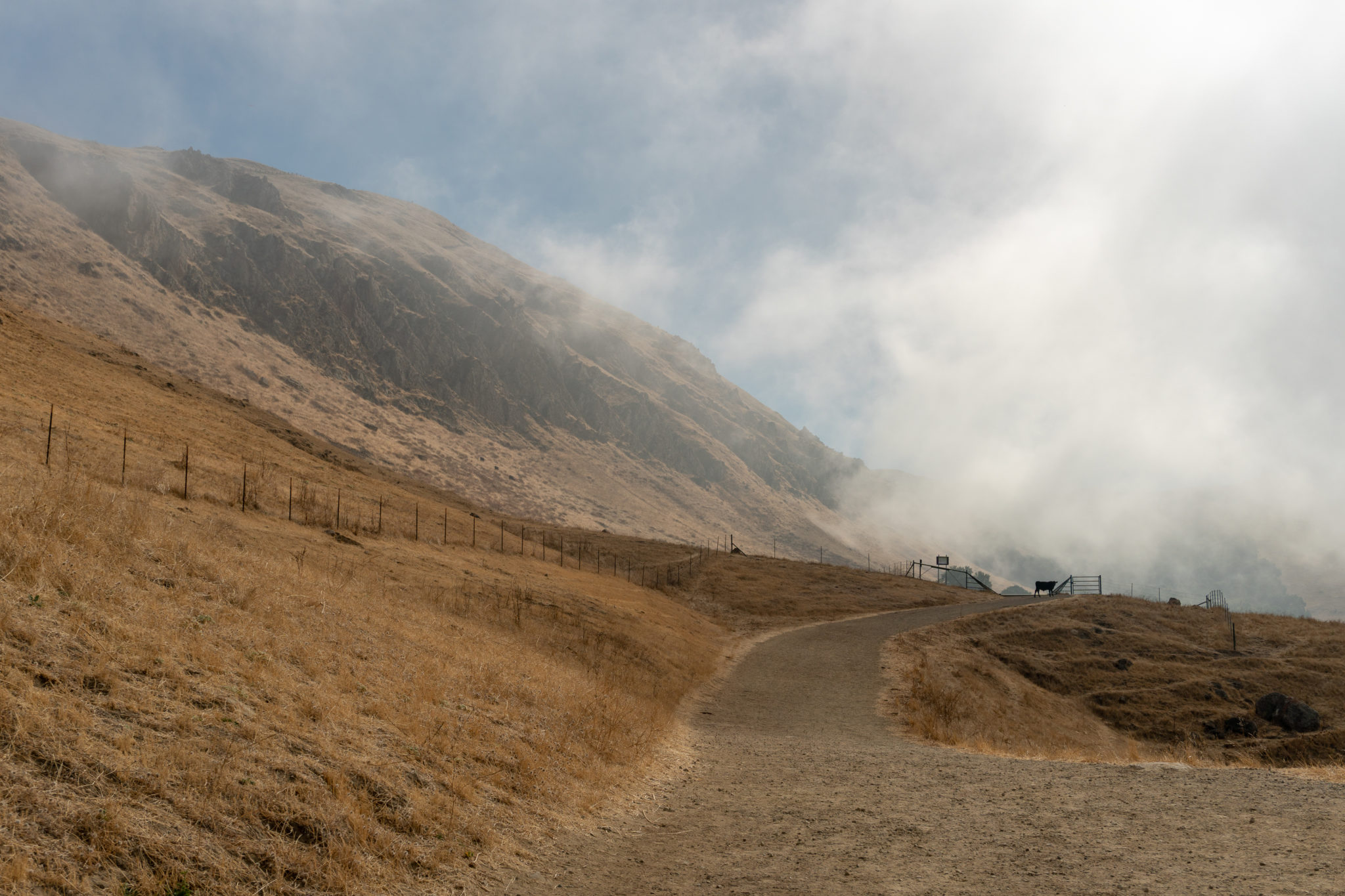
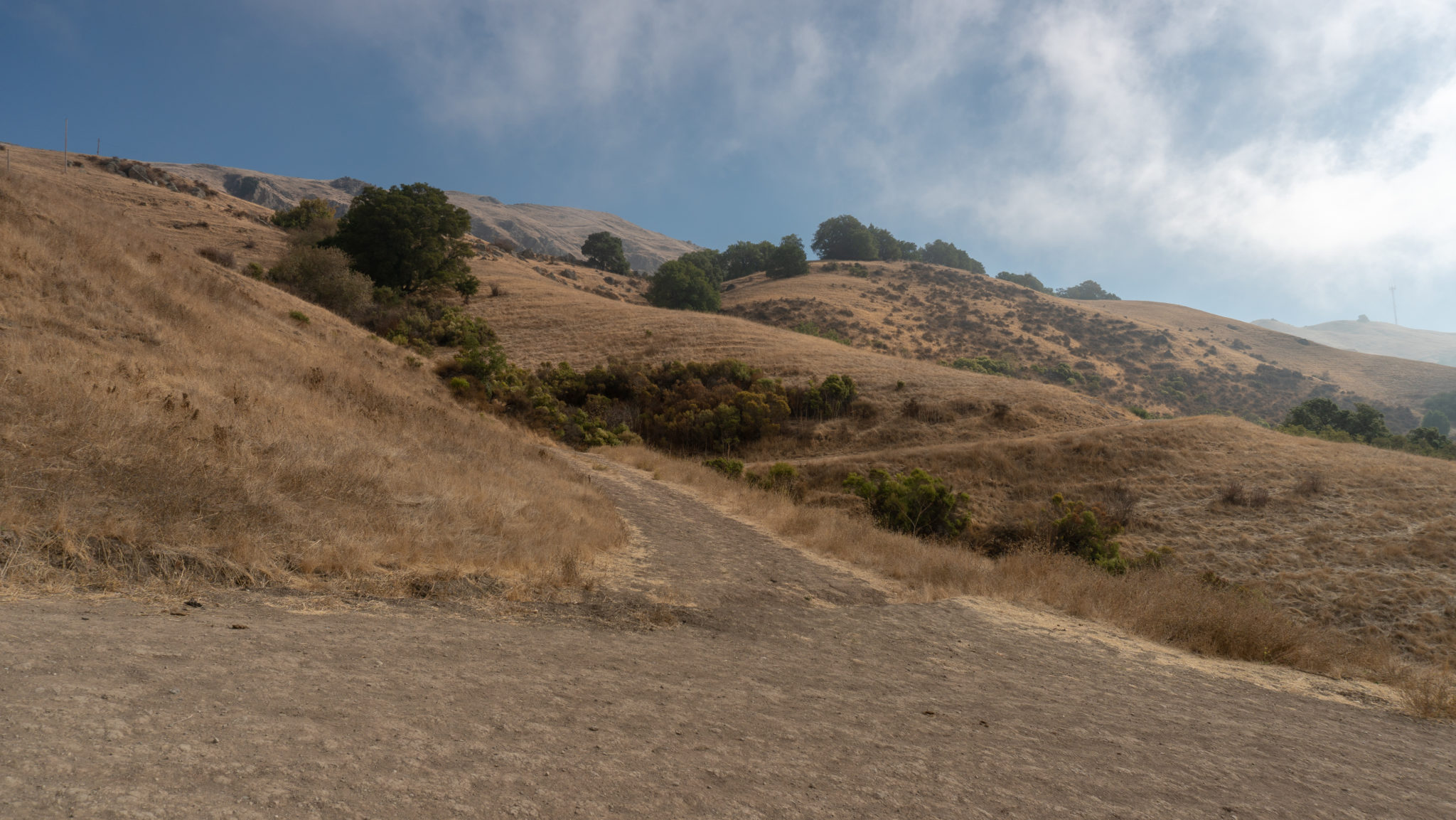
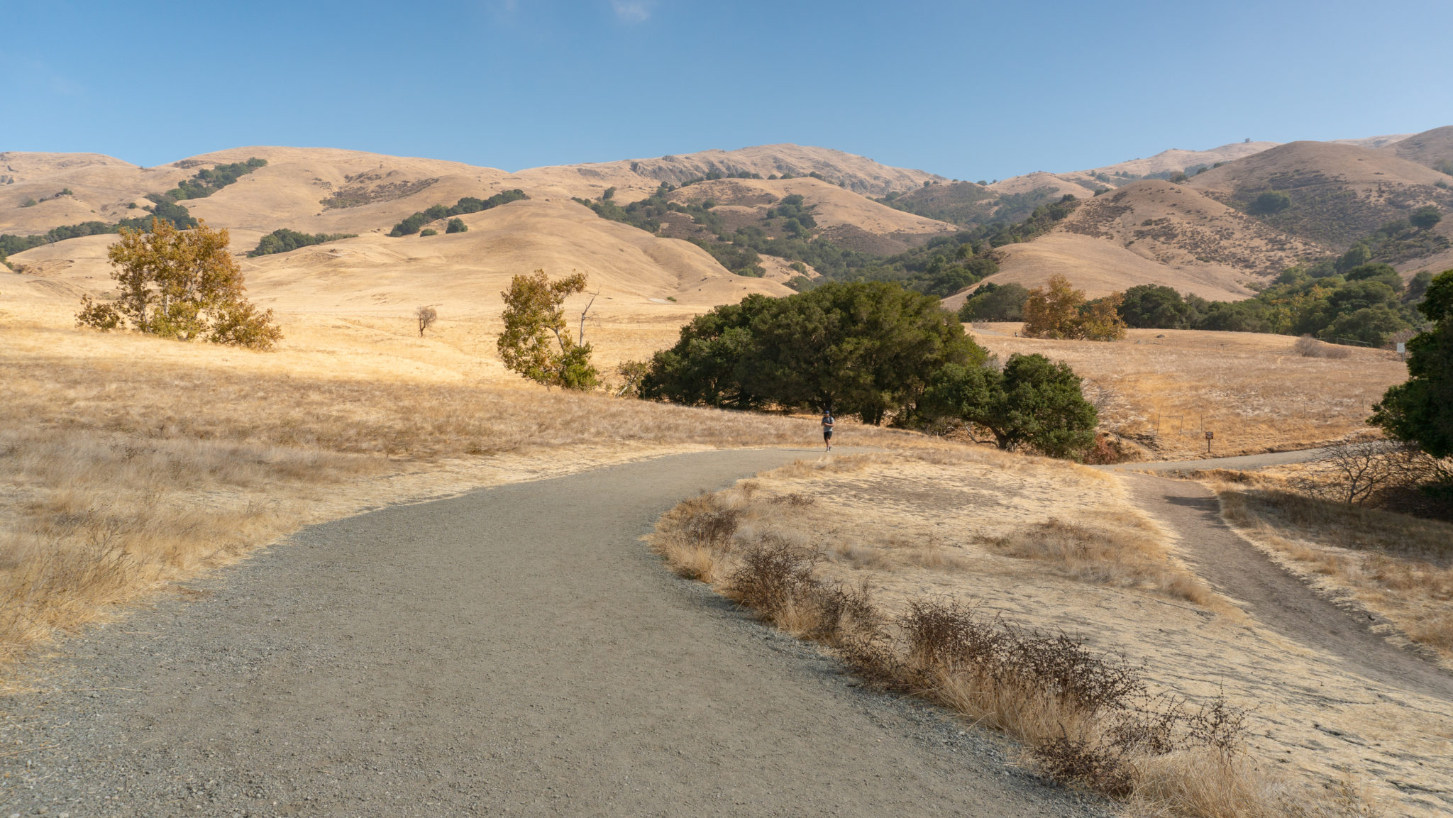
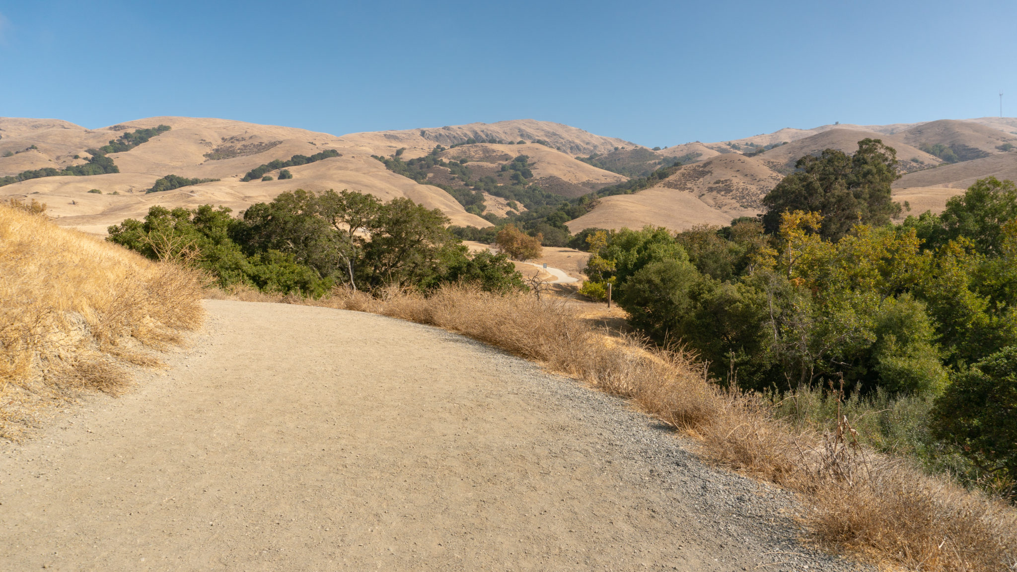
So let’s give it a go! Start your hike at the Stanford Avenue parking lot, heading northeast on the Hidden Valley Trail. The triangular top of Mission Peak pokes out to the northeast on clear days. If you see clouds at the top, do not despair: you may just end up hiking through a cloud inversion!

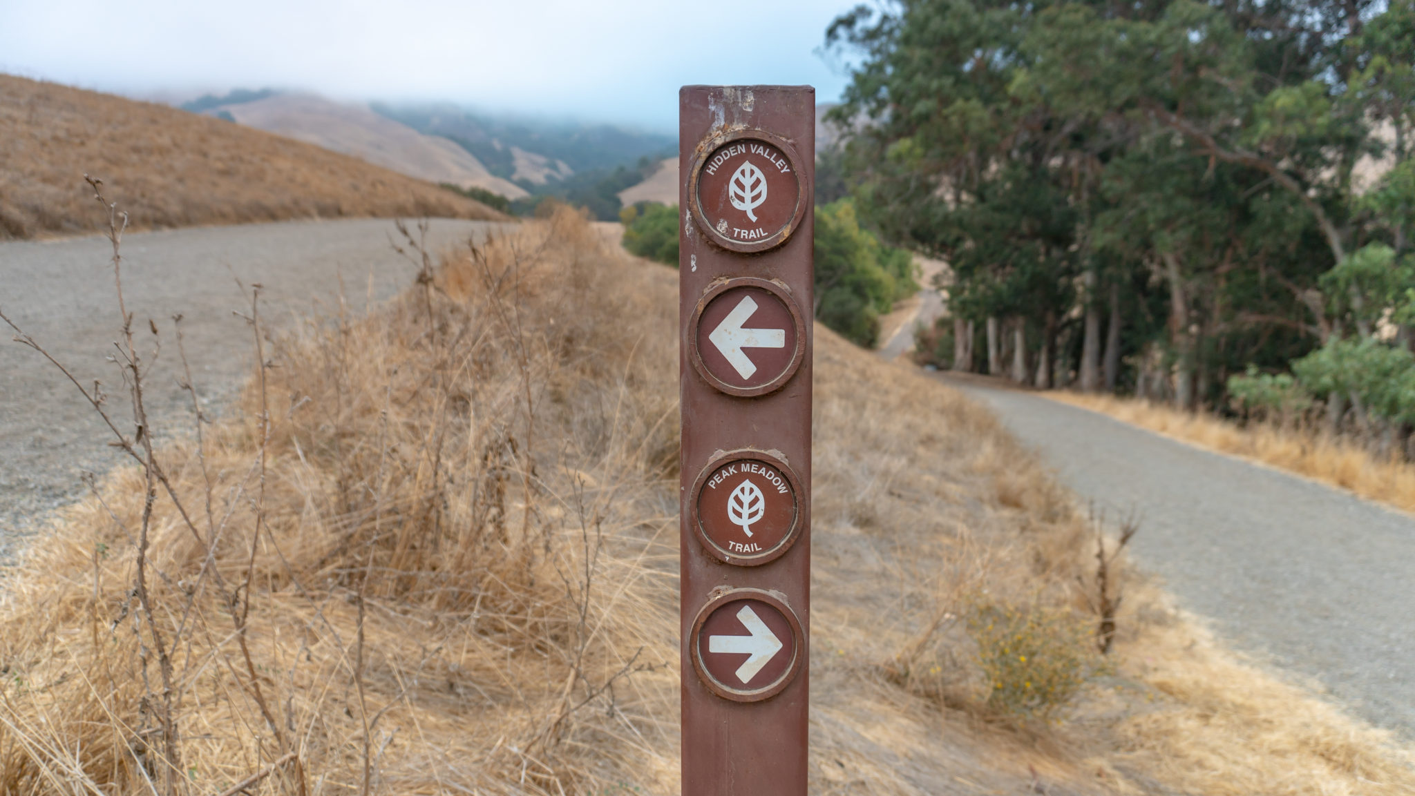
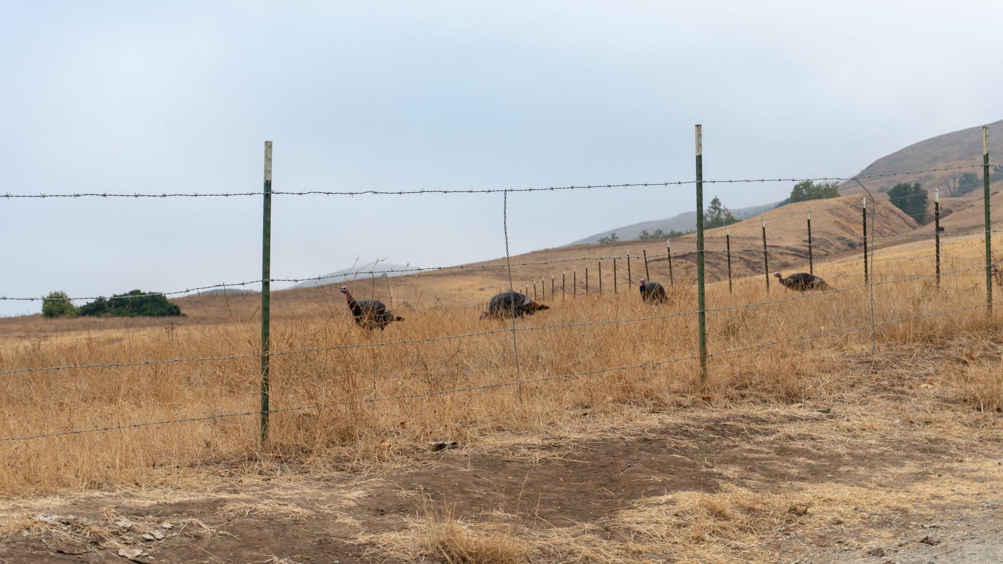
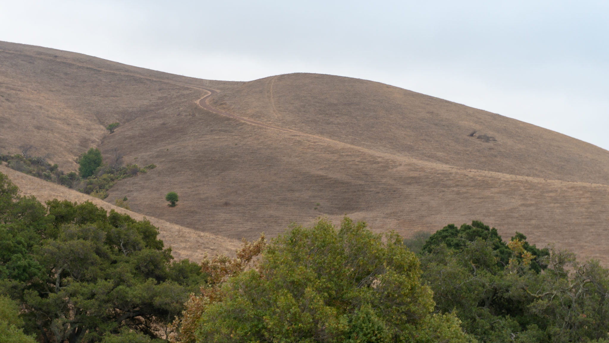
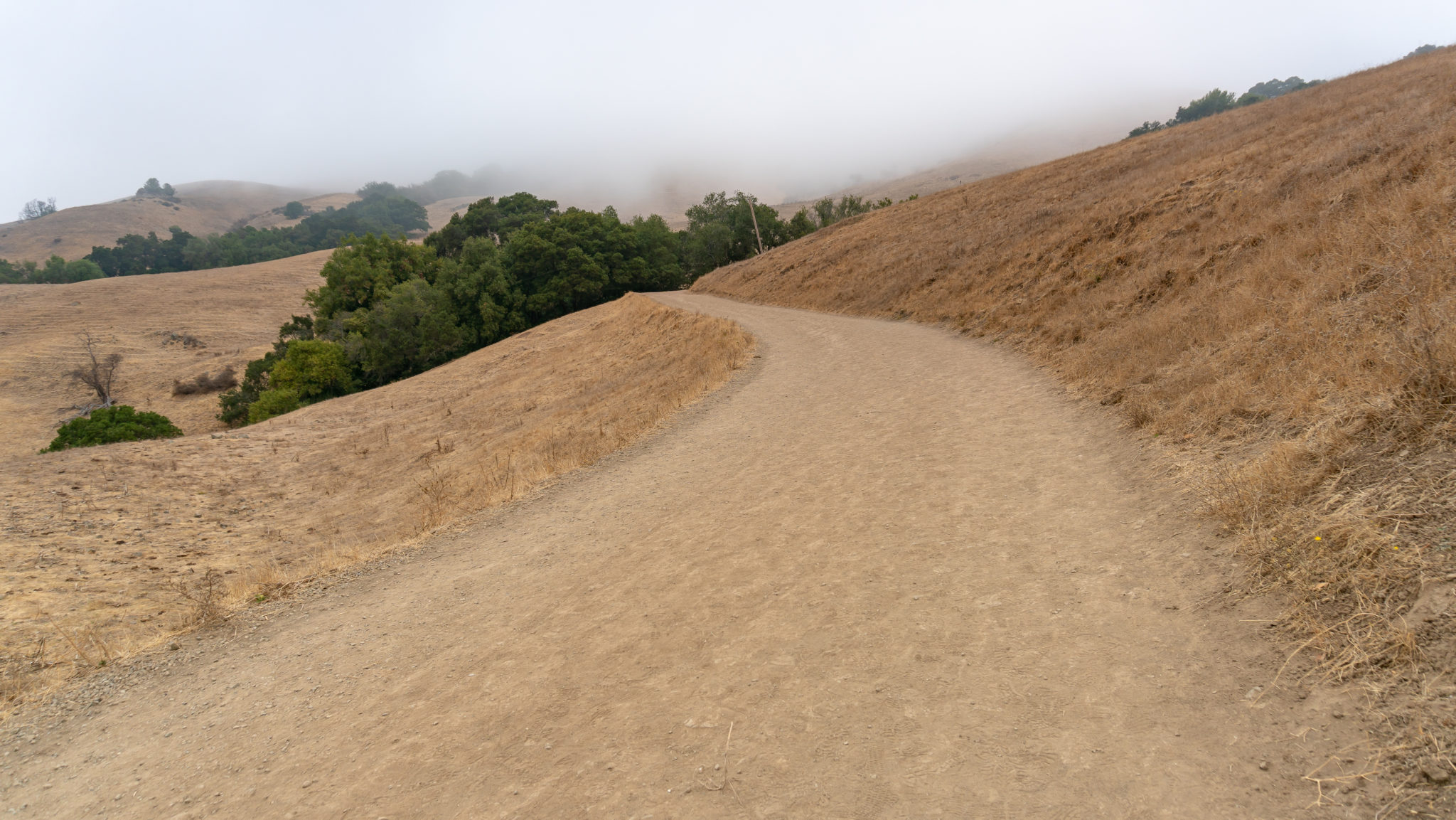
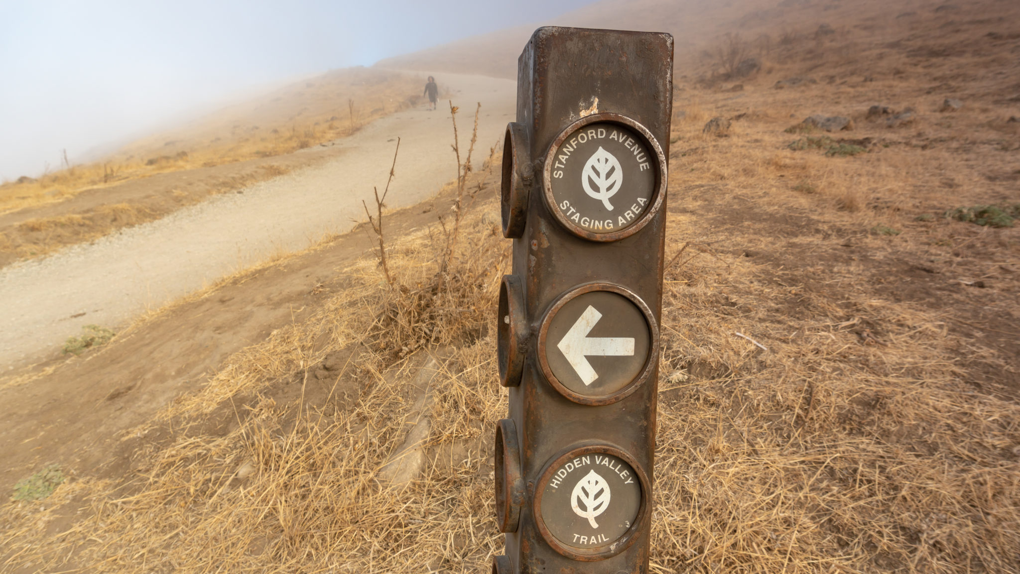
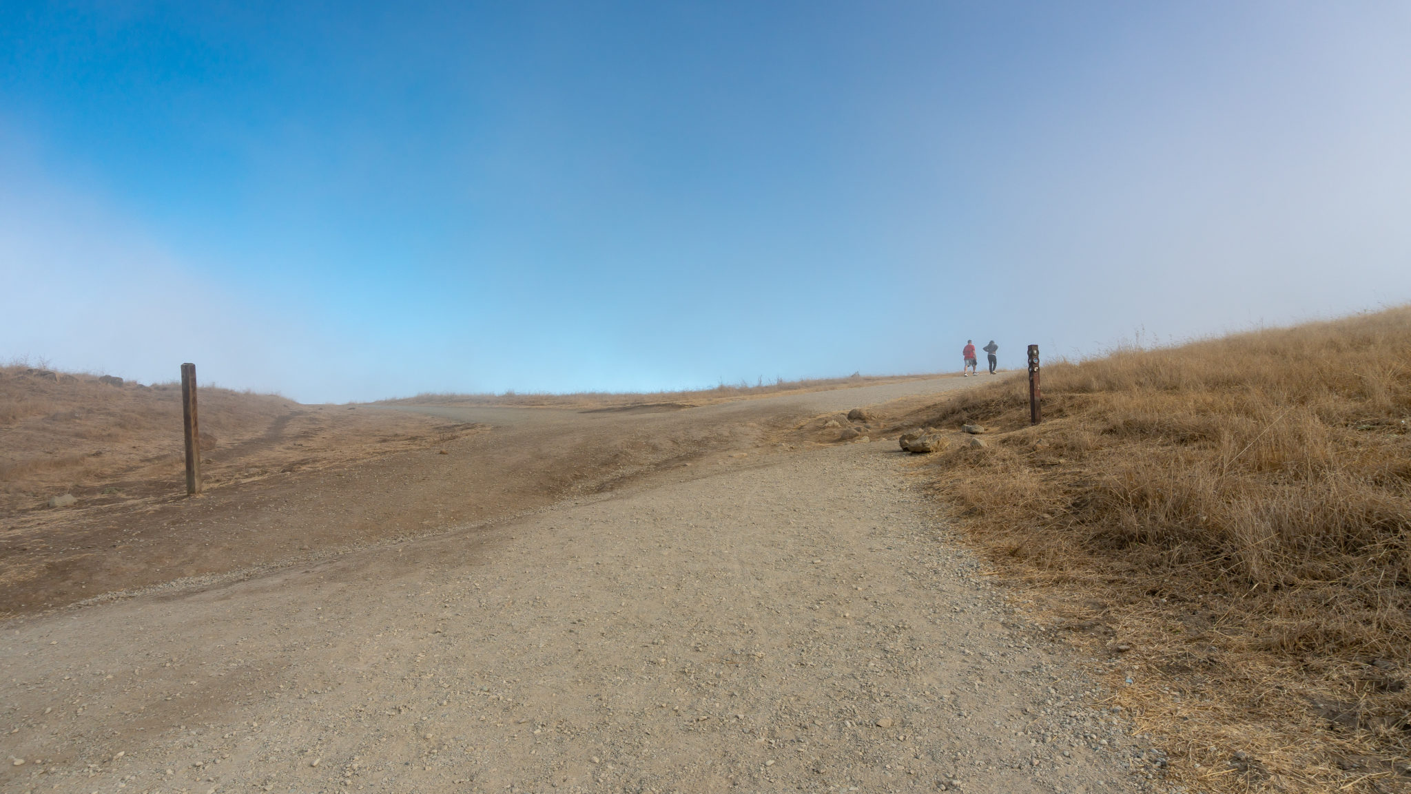
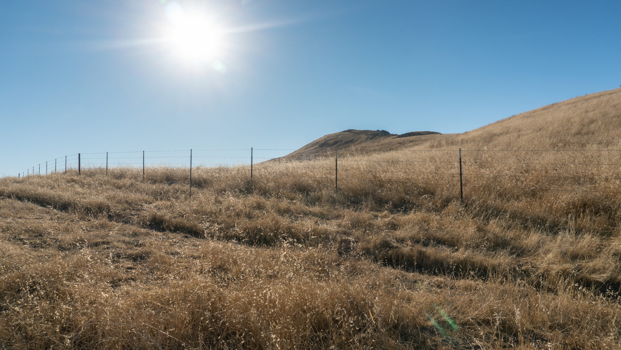
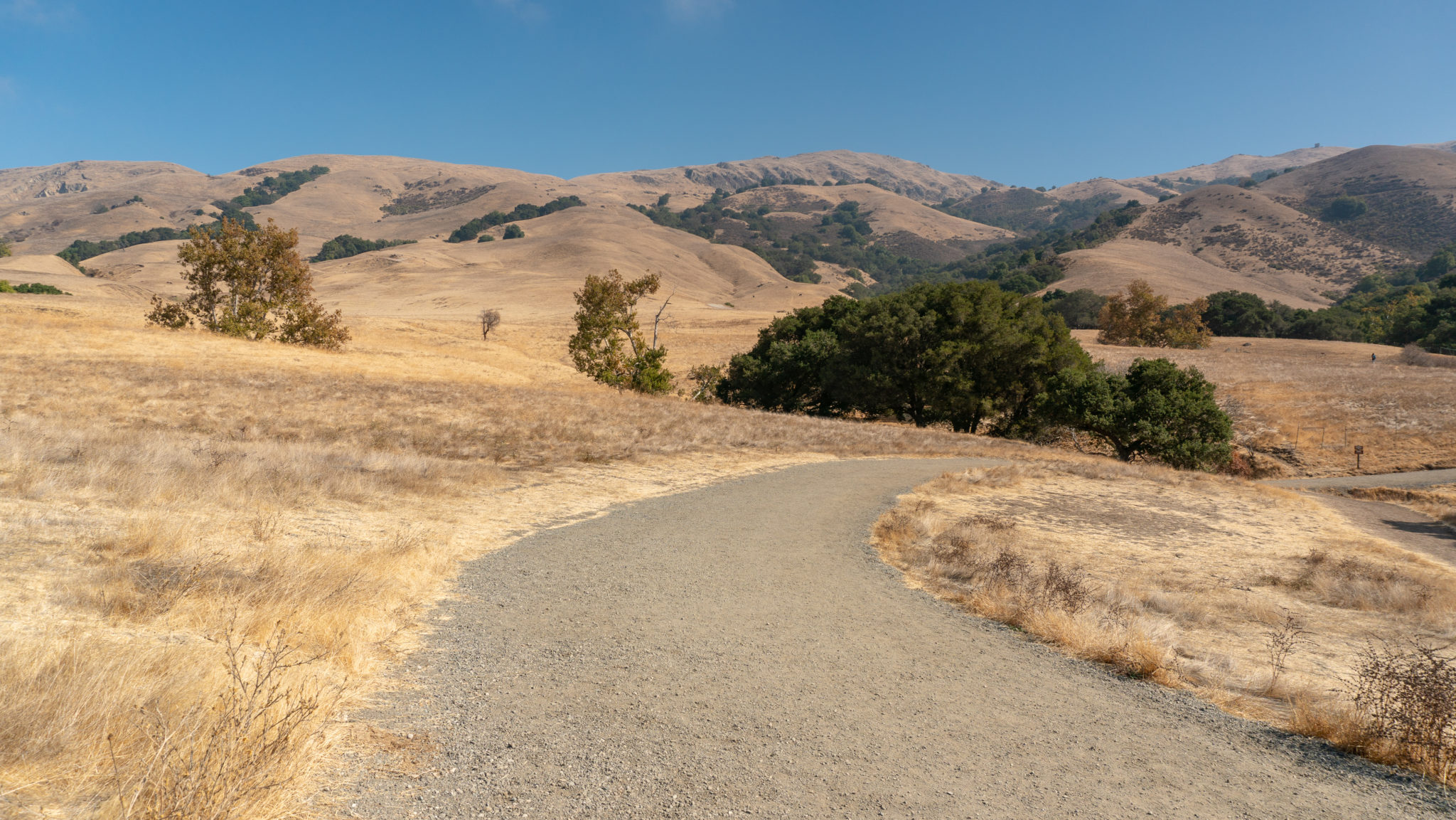
In 0.1 miles, stay left at a Y-junction on the Hidden Valley Trail. To the right is the Peak Meadow Trail, which hooks up to the Horse Heaven Trail, an alternative summit route. The wide fire road winds past grassy hills that look like farm pastures, and you can usually see wild turkeys trotting around and foraging for food. At the tail end of winter and in early spring, the grass is emerald green from winter rains.

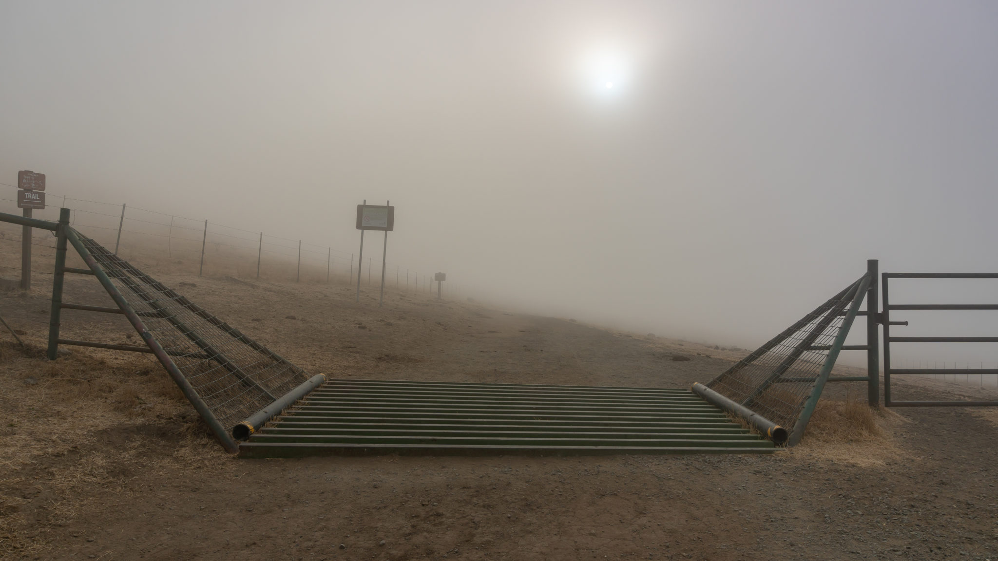
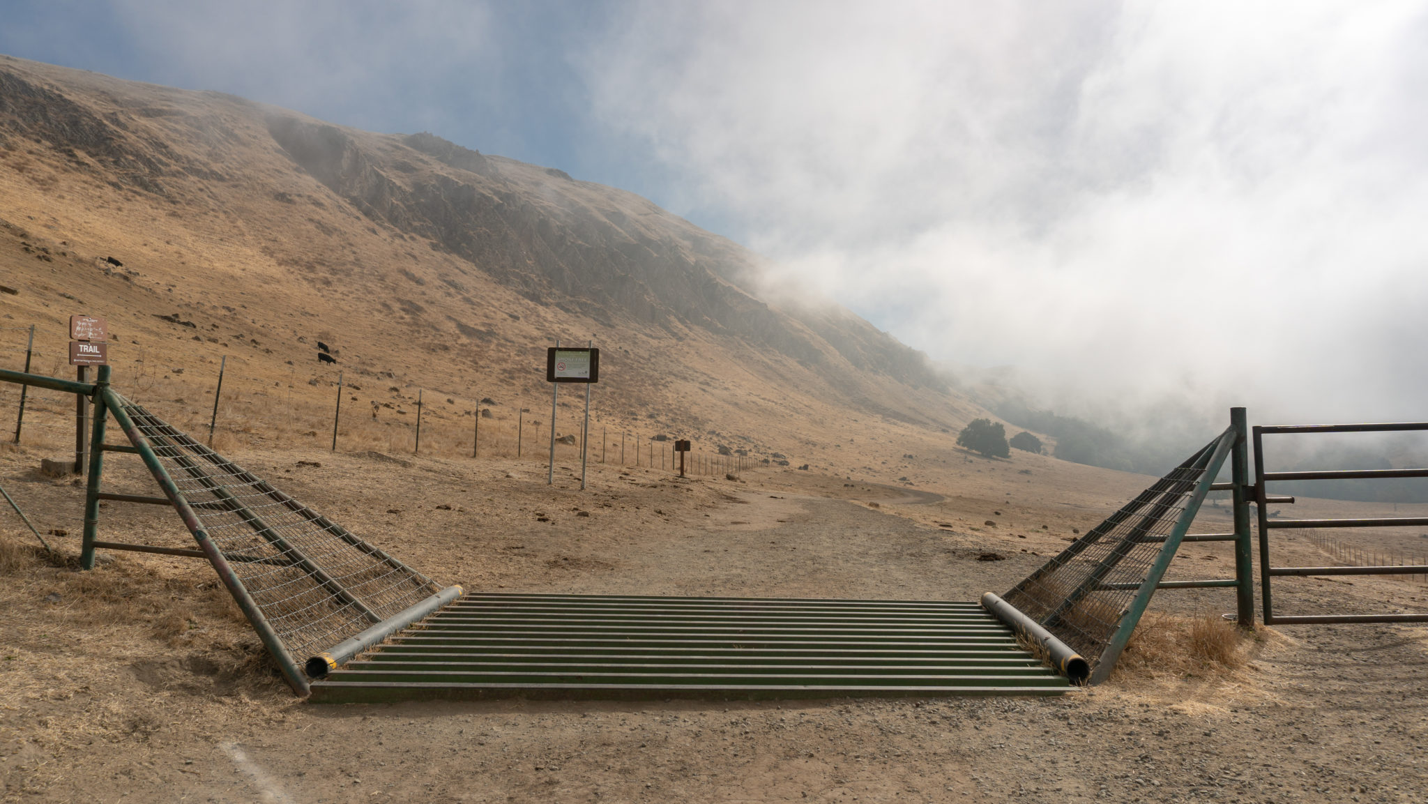
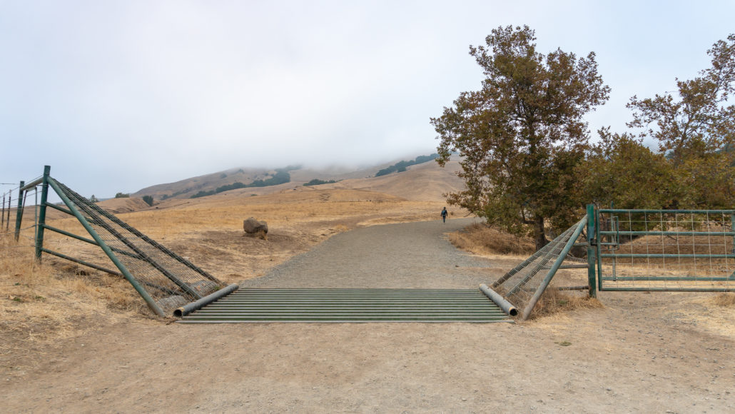
Although relatively flat for the first 0.3 miles, the trail begins climbing more steeply past a cattle grid. Climb carefully over the grid or just pass through the gate on the right. The round pipes over the ditch make it tricky for flat cow hooves to cross, and the ditch creates a perception of infinite negative space to the cattle, which discourages them from crossing too.
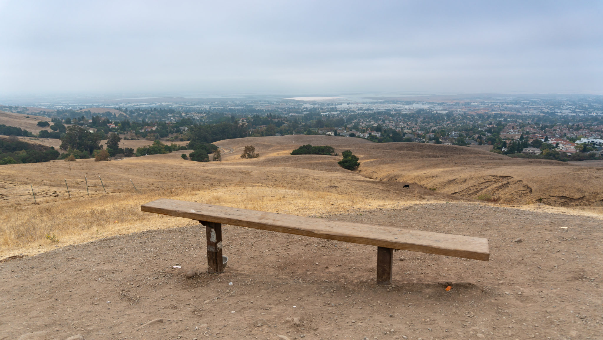
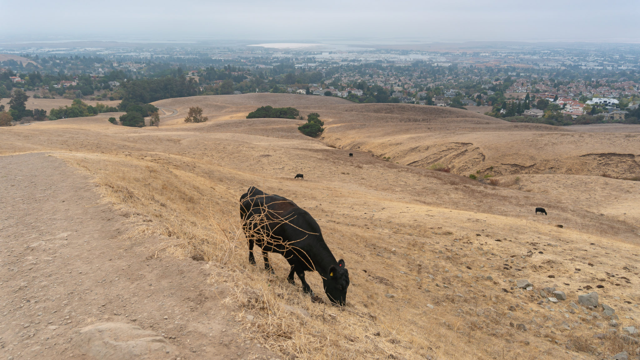
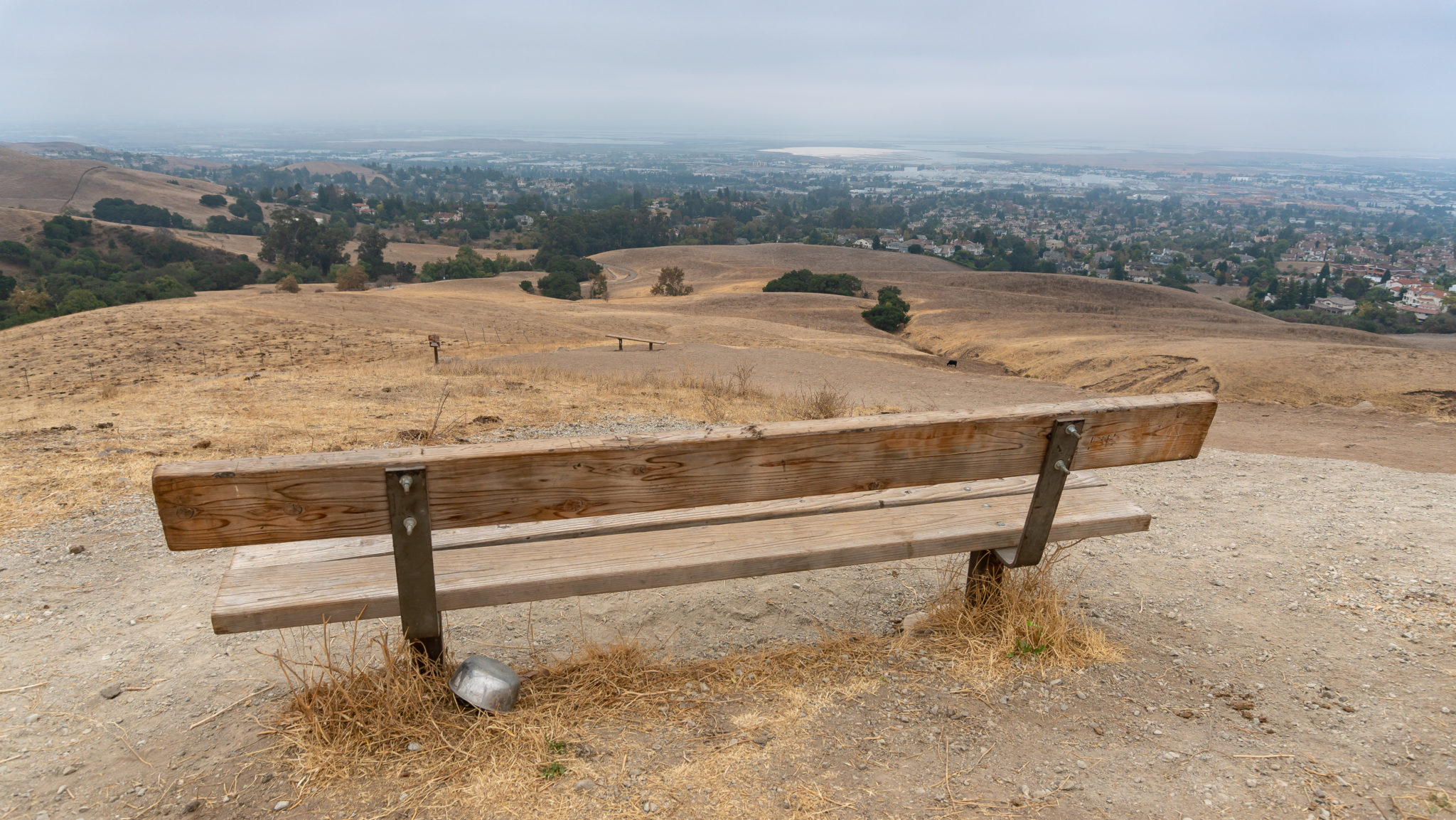
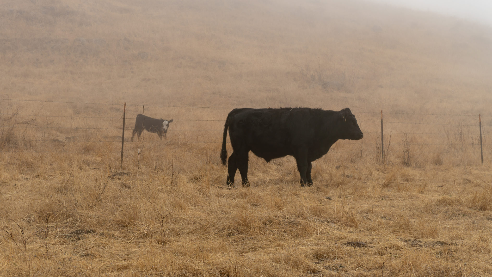
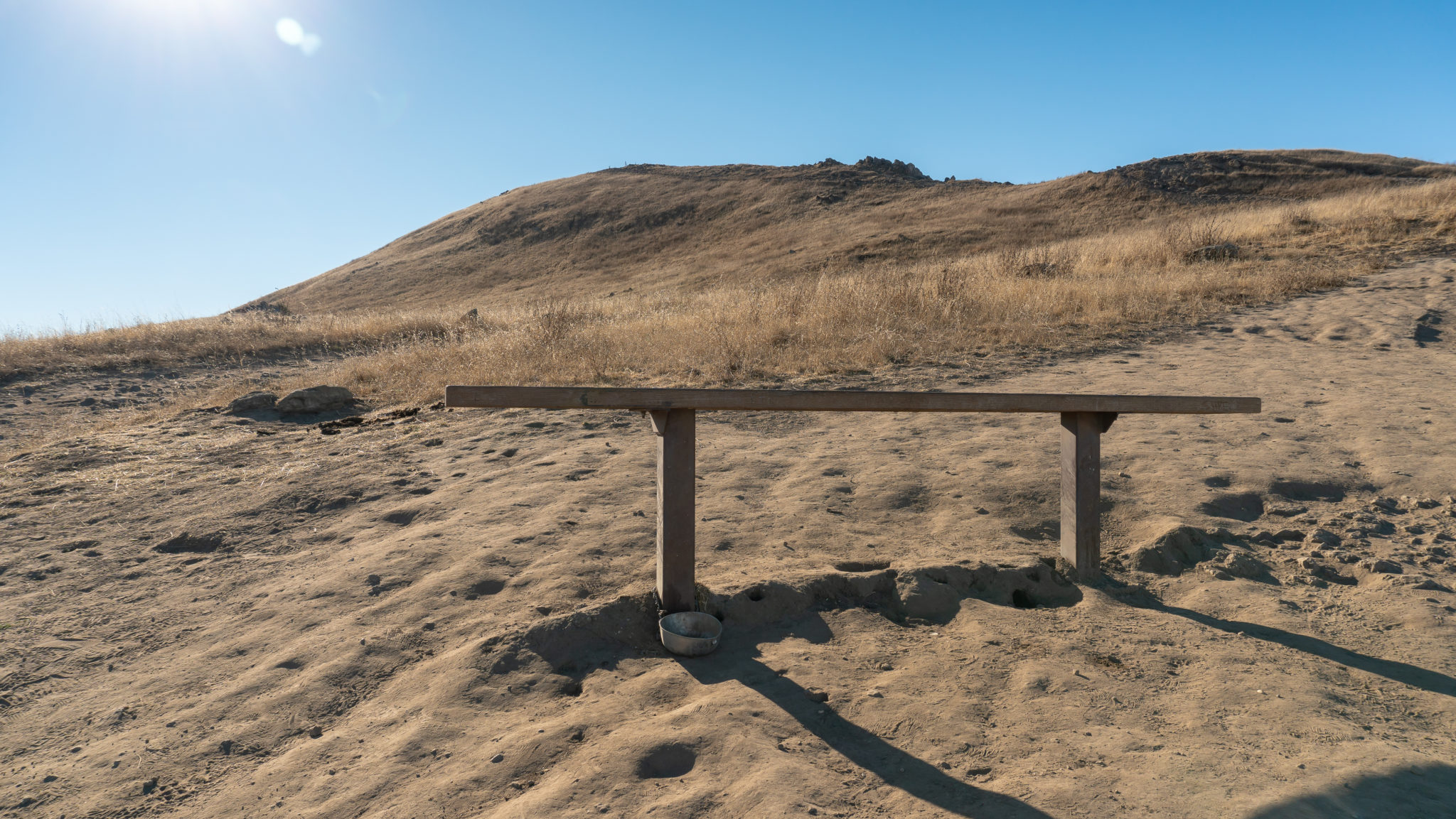
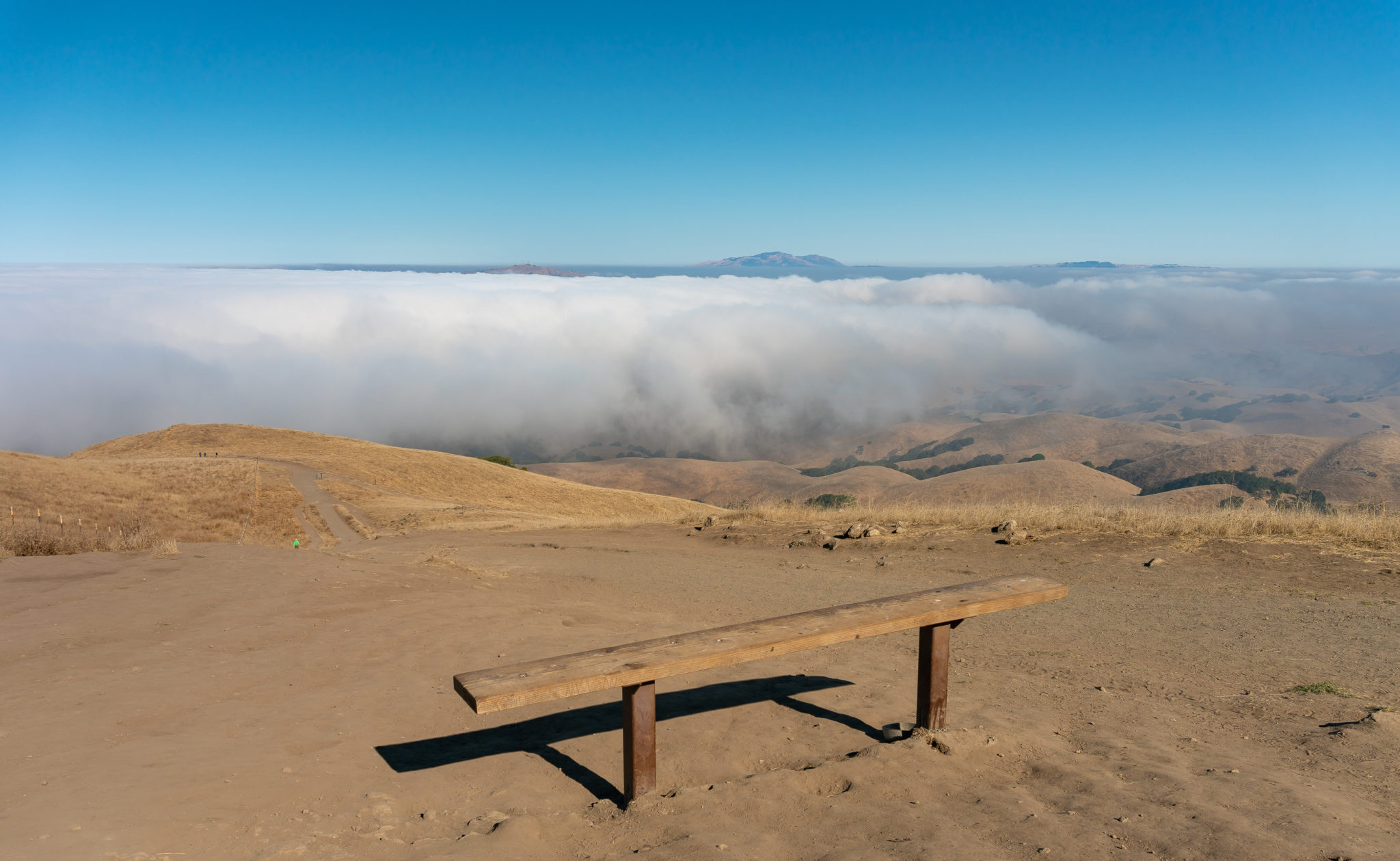
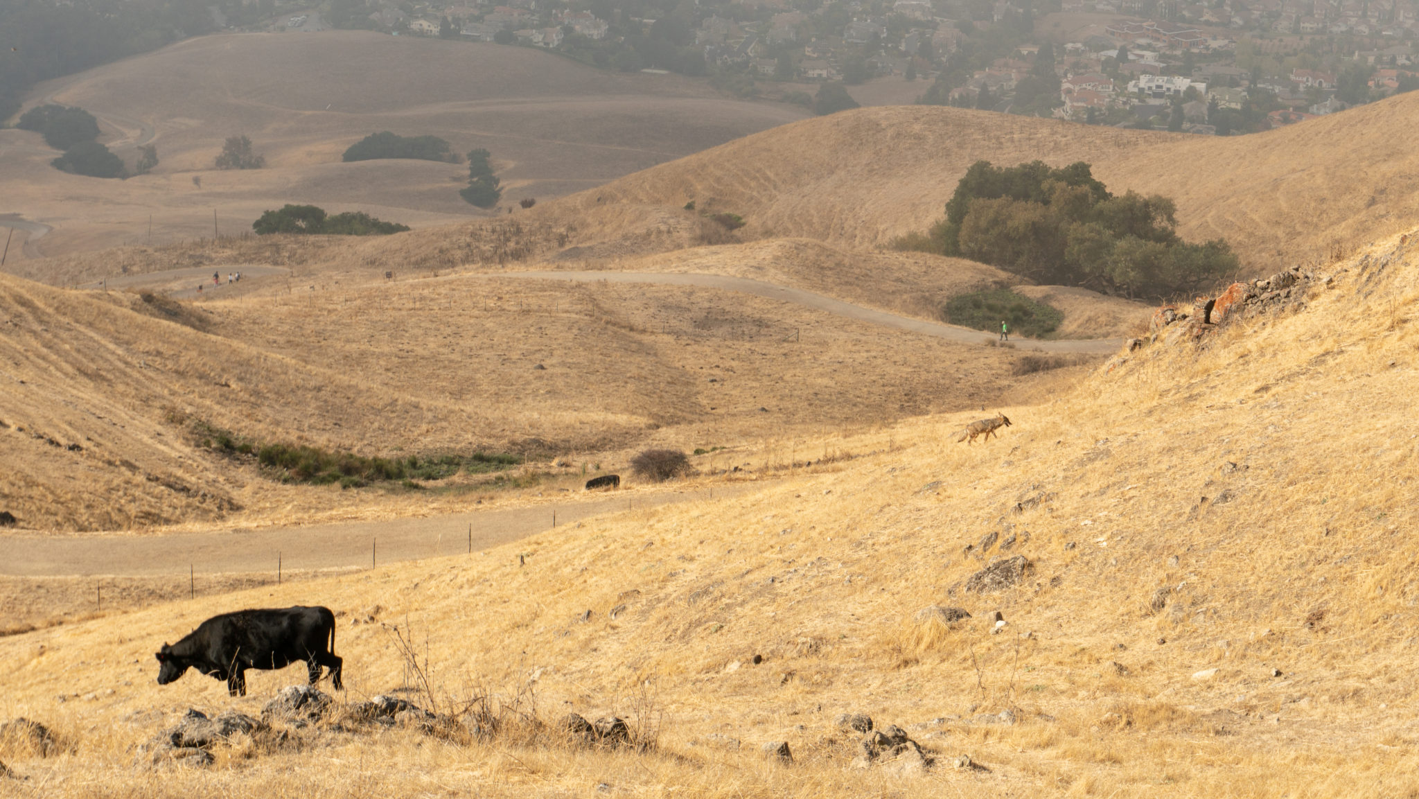
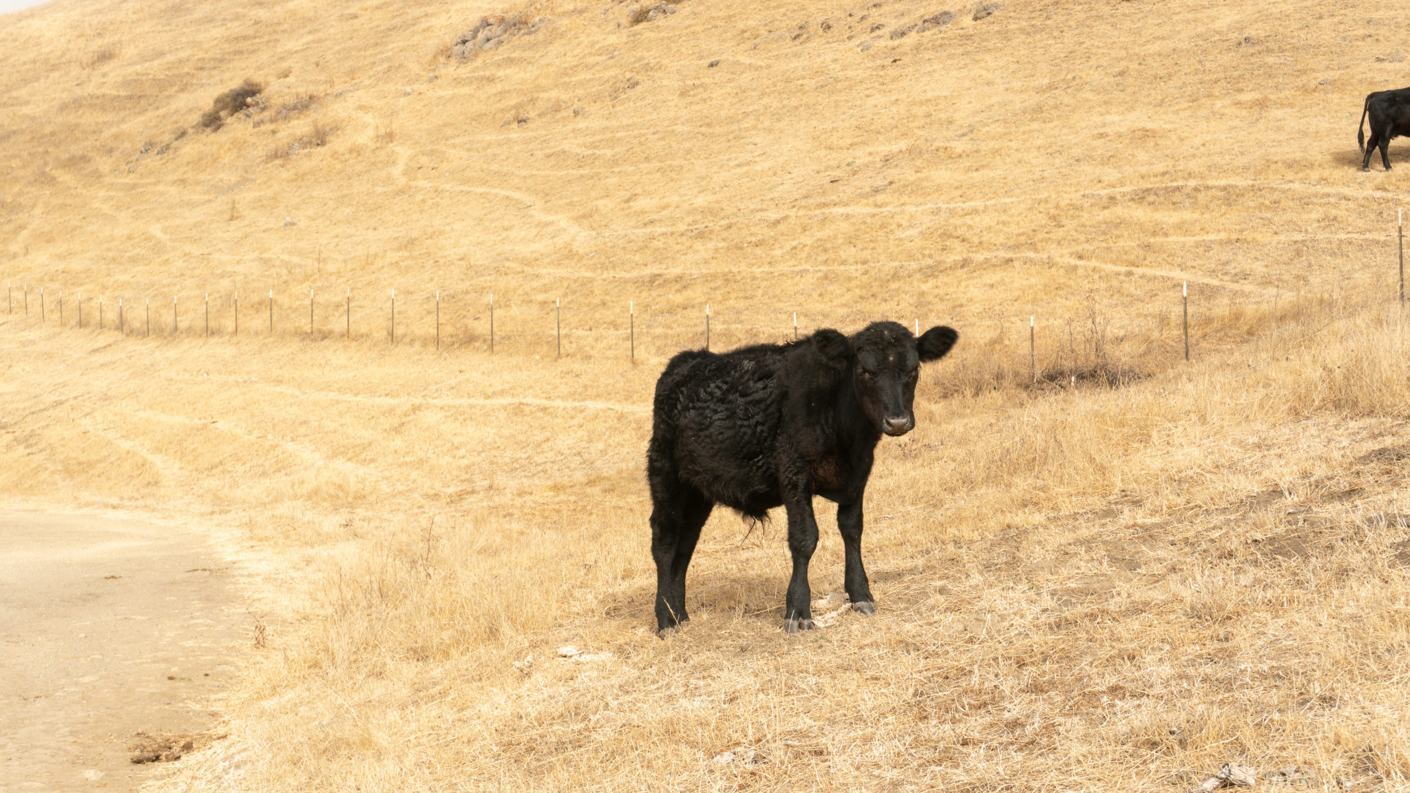
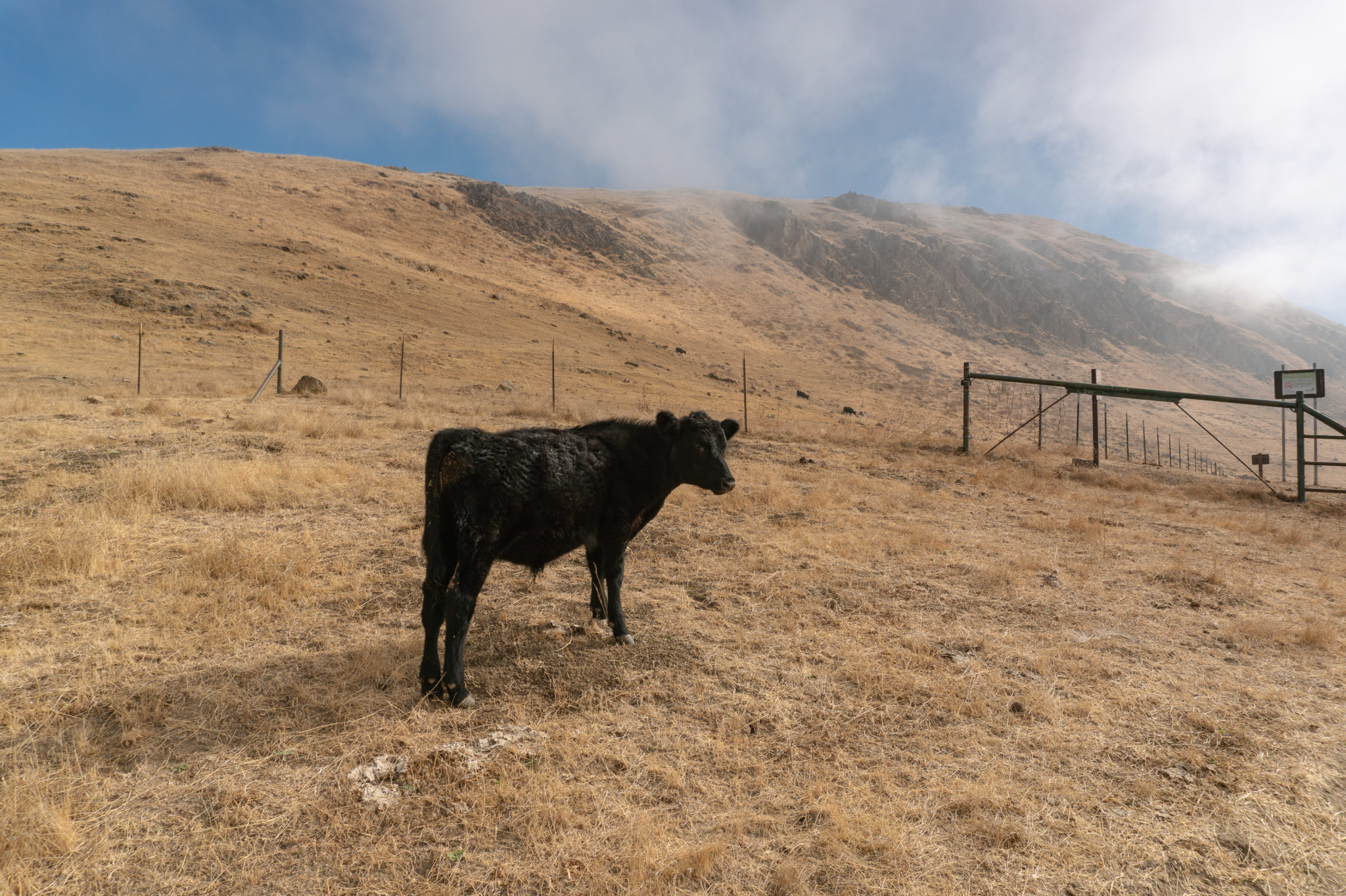
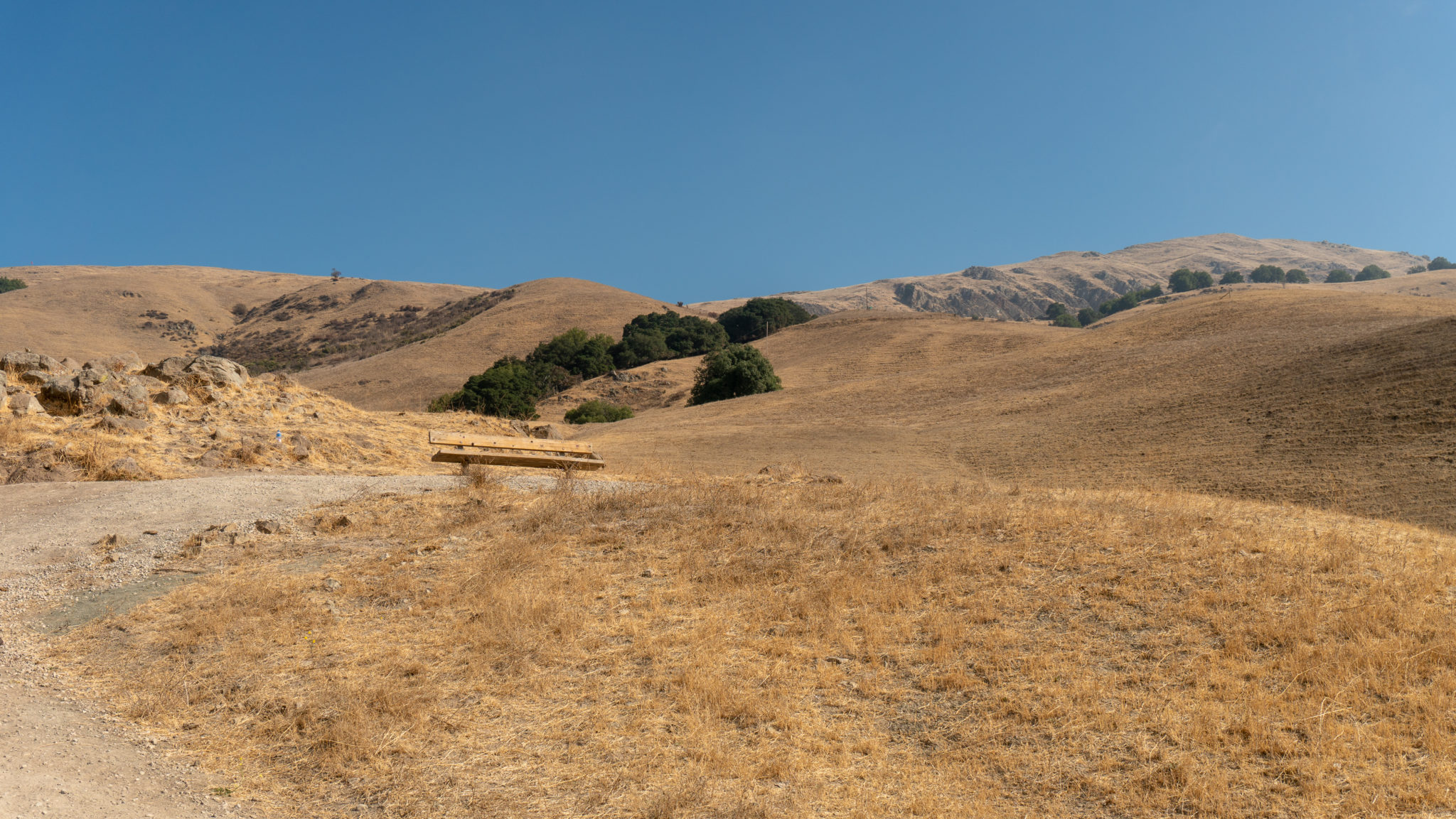
At the 0.75-mile mark is a bench with a shallow view west to Fremont and the San Francisco Bay—a scant preview of the views to come. There are six bench areas along the route, and you may see cattle nearby. Their grazing helps clear away debris that can be a fire hazard and helps native plants to thrive and grow by clearing out non-native plants. EBRPD recommends not touching the cows and watching out for your pup near the cows too. The cows are generally harmless, but getting too close, getting between a mama cow and her calf, and curious dogs can agitate them.


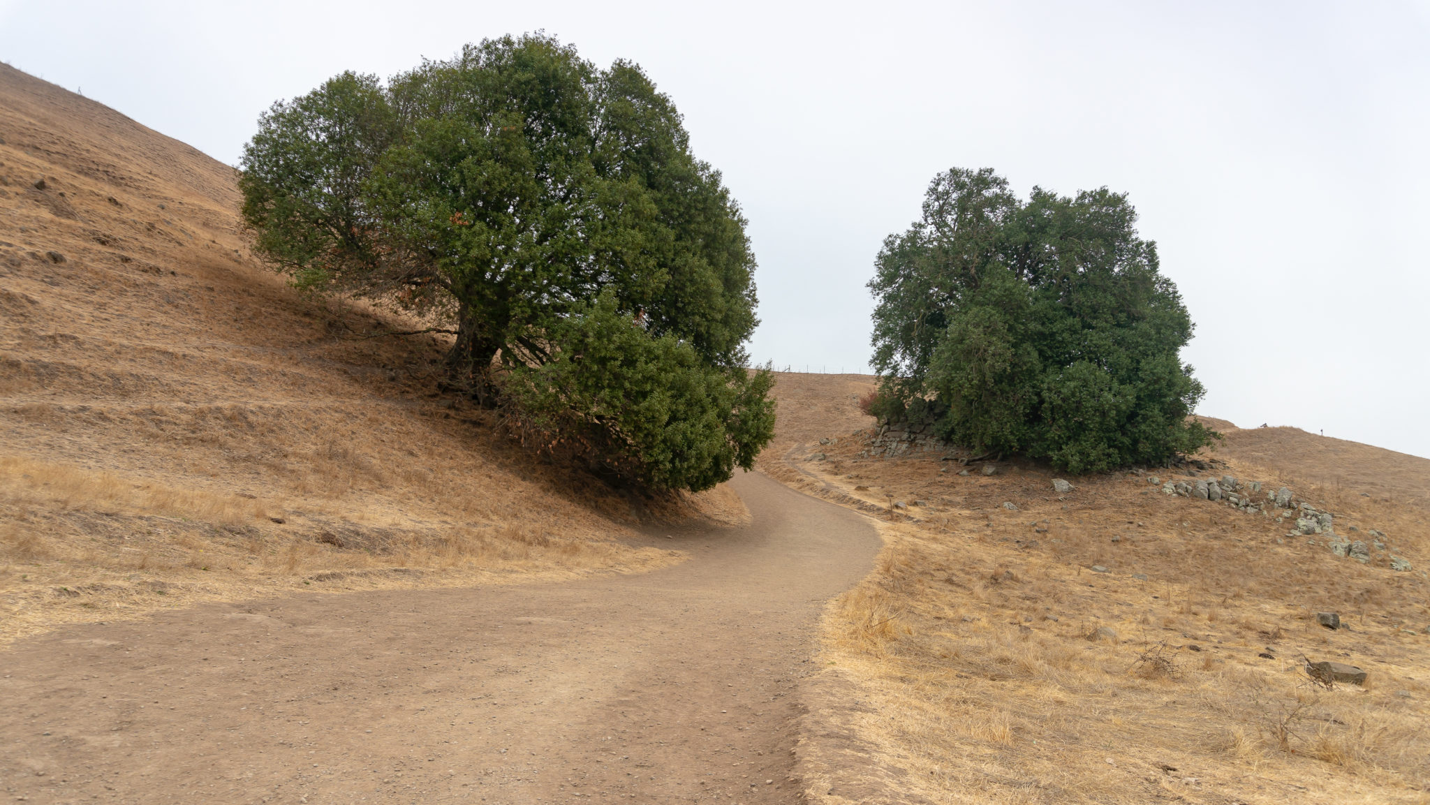
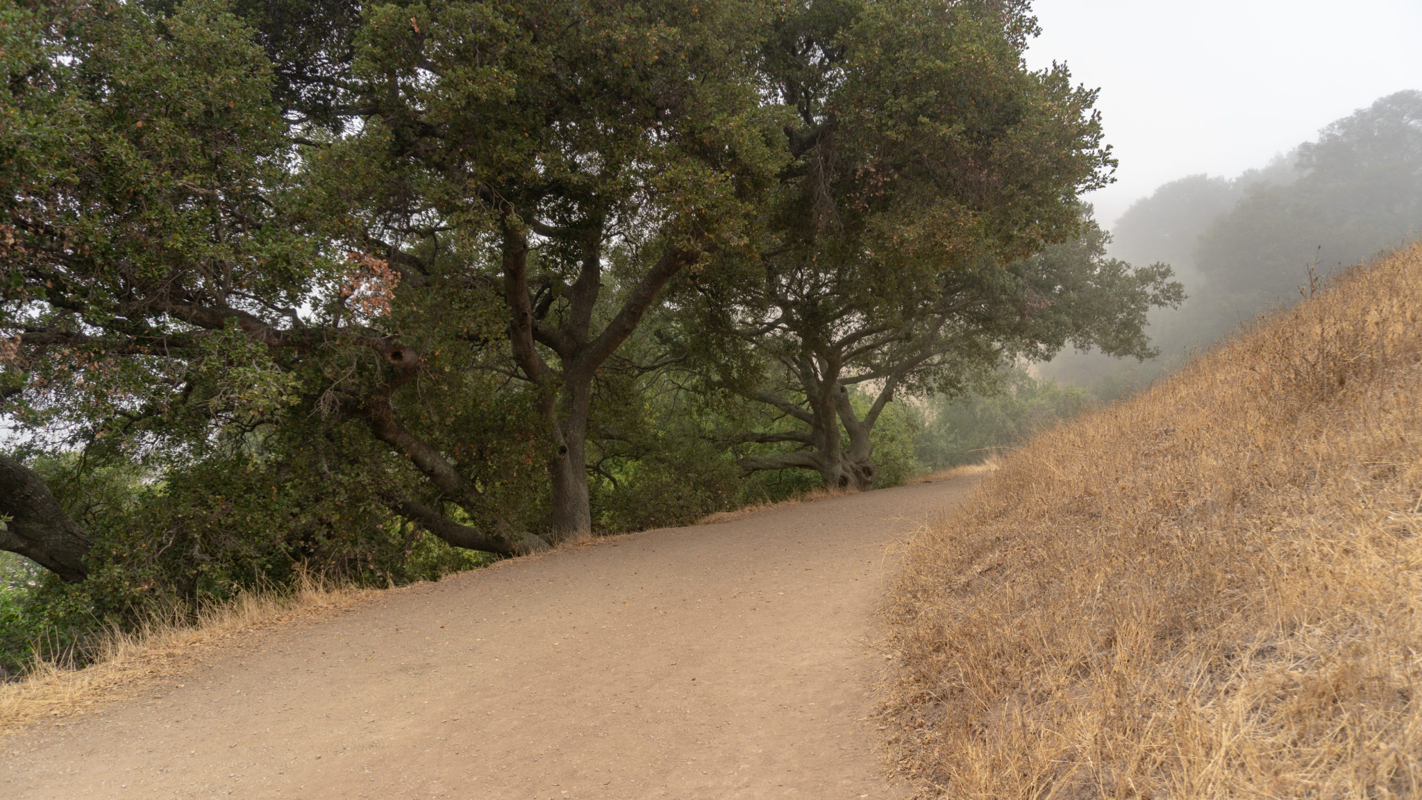
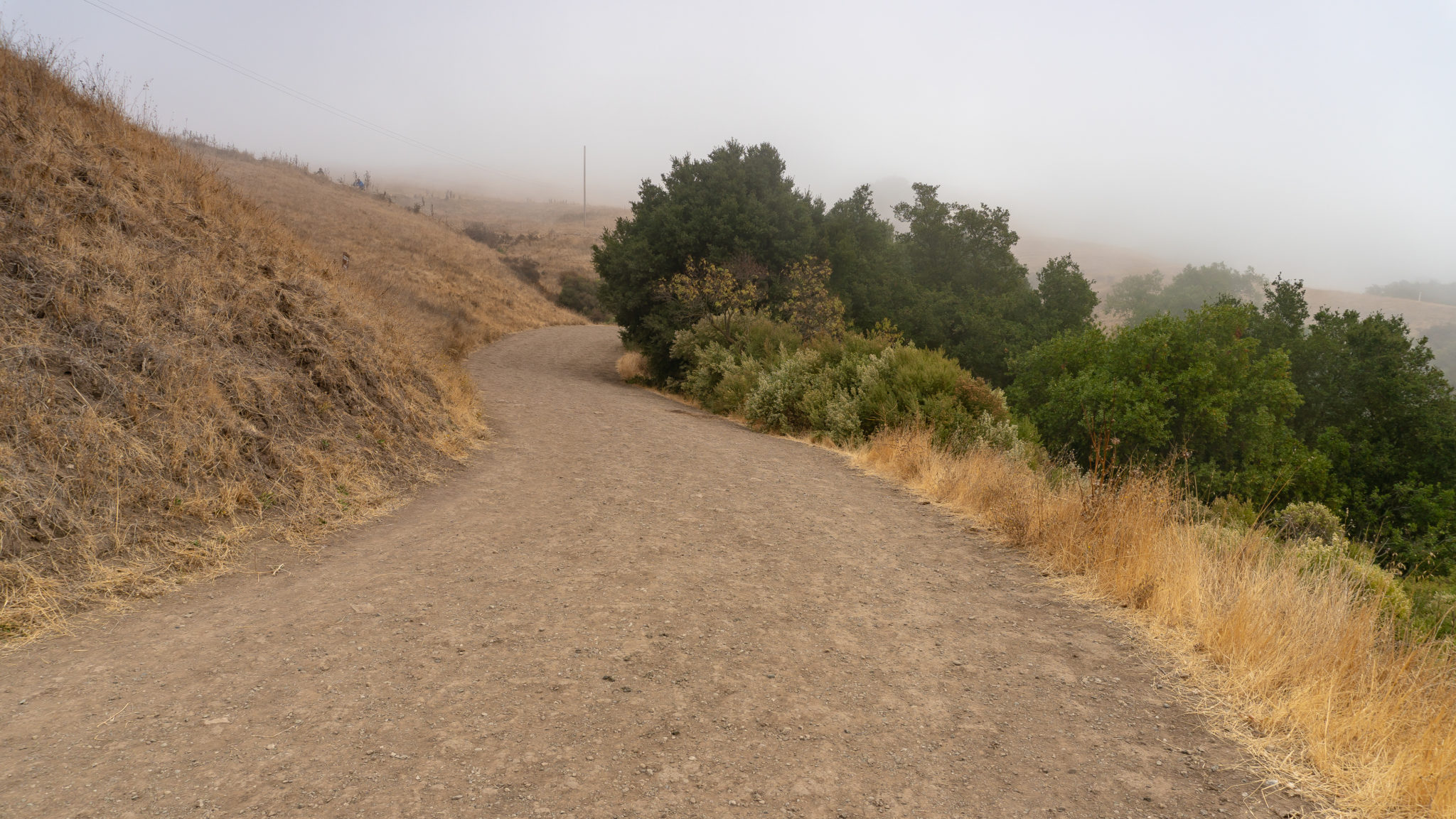
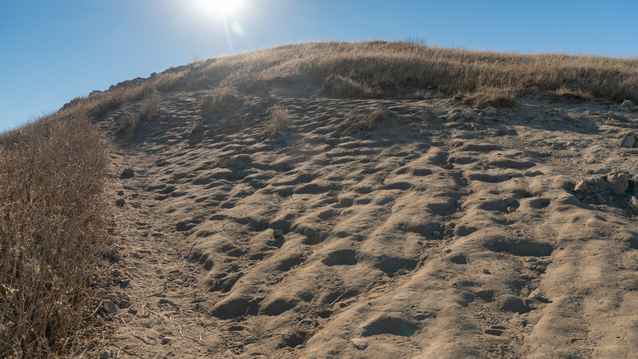
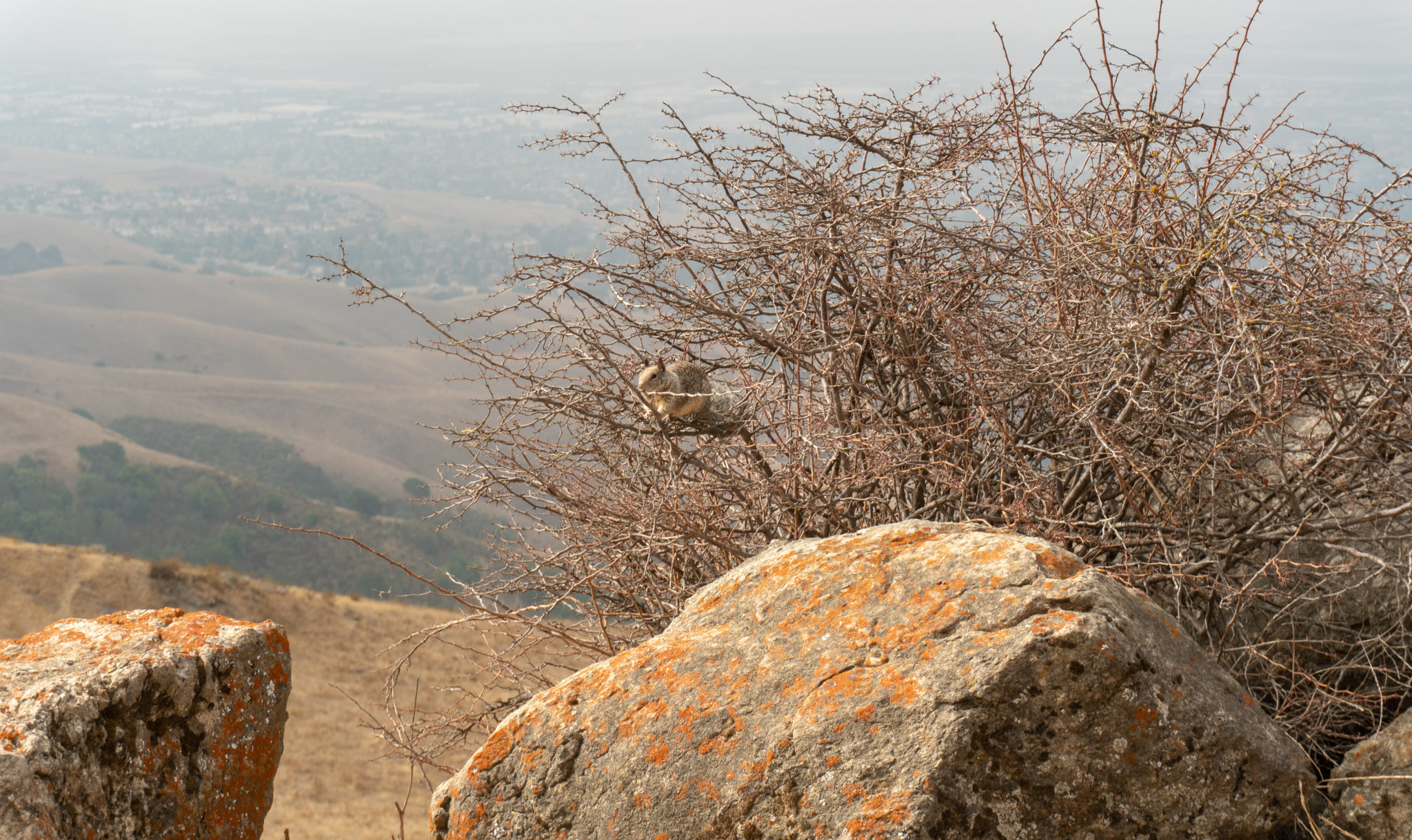
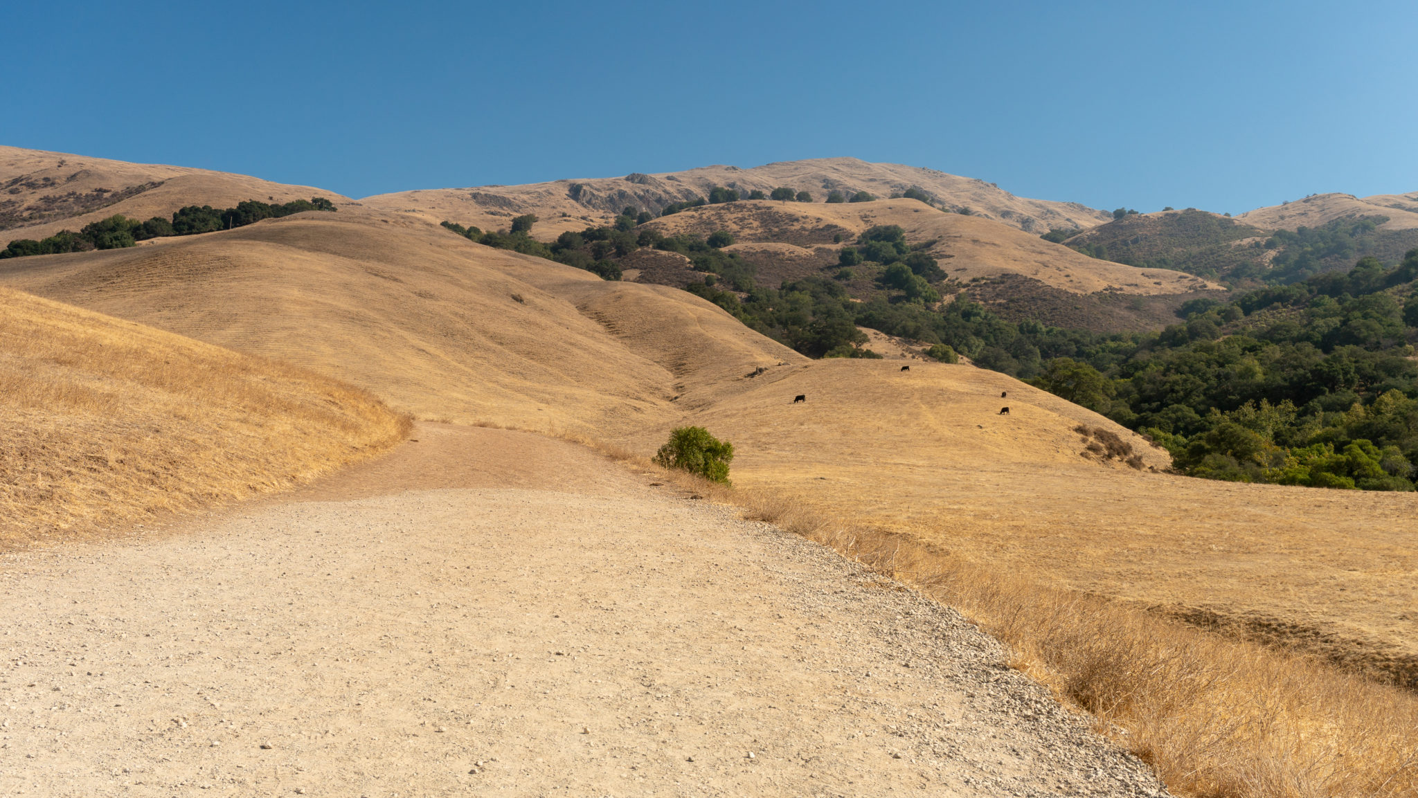
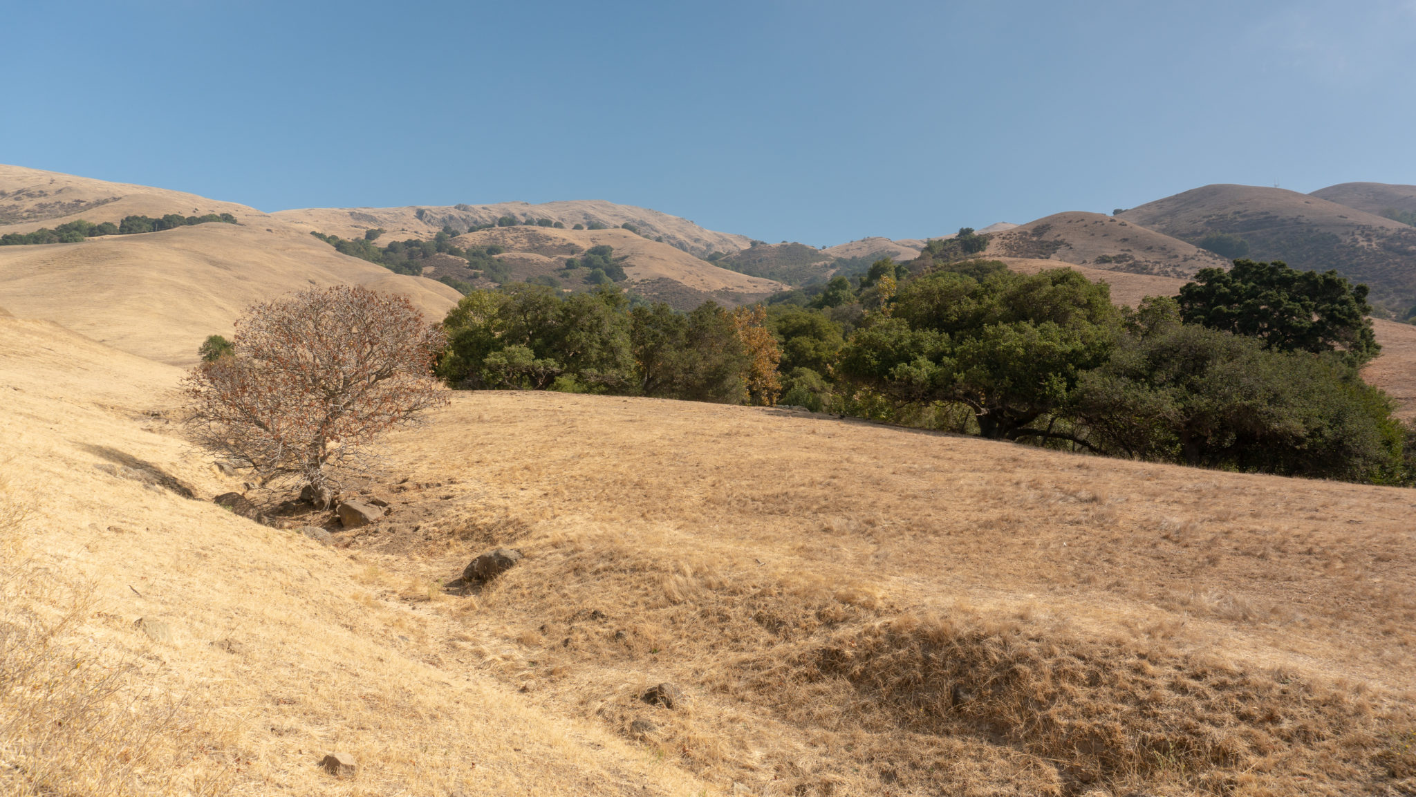
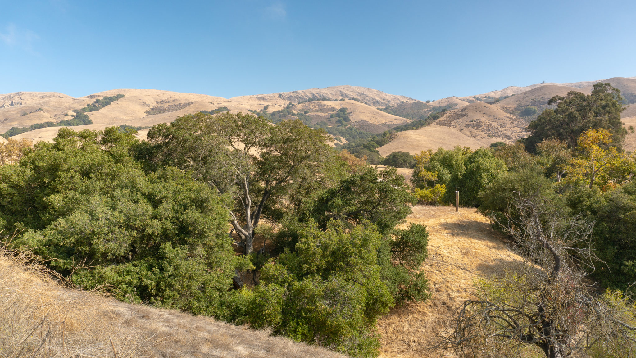
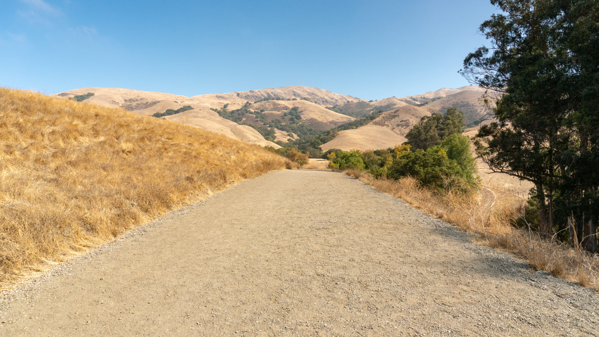
Continue northeast past the first bench, gaining a stiff 700 feet over the next 0.8 miles. Pockets of oak and California bay laurel provide scant shade on hot, clear days. A beautiful woodland spreads down the mountain to the south, and you will likely see ground squirrels and birds foraging in the grassland.


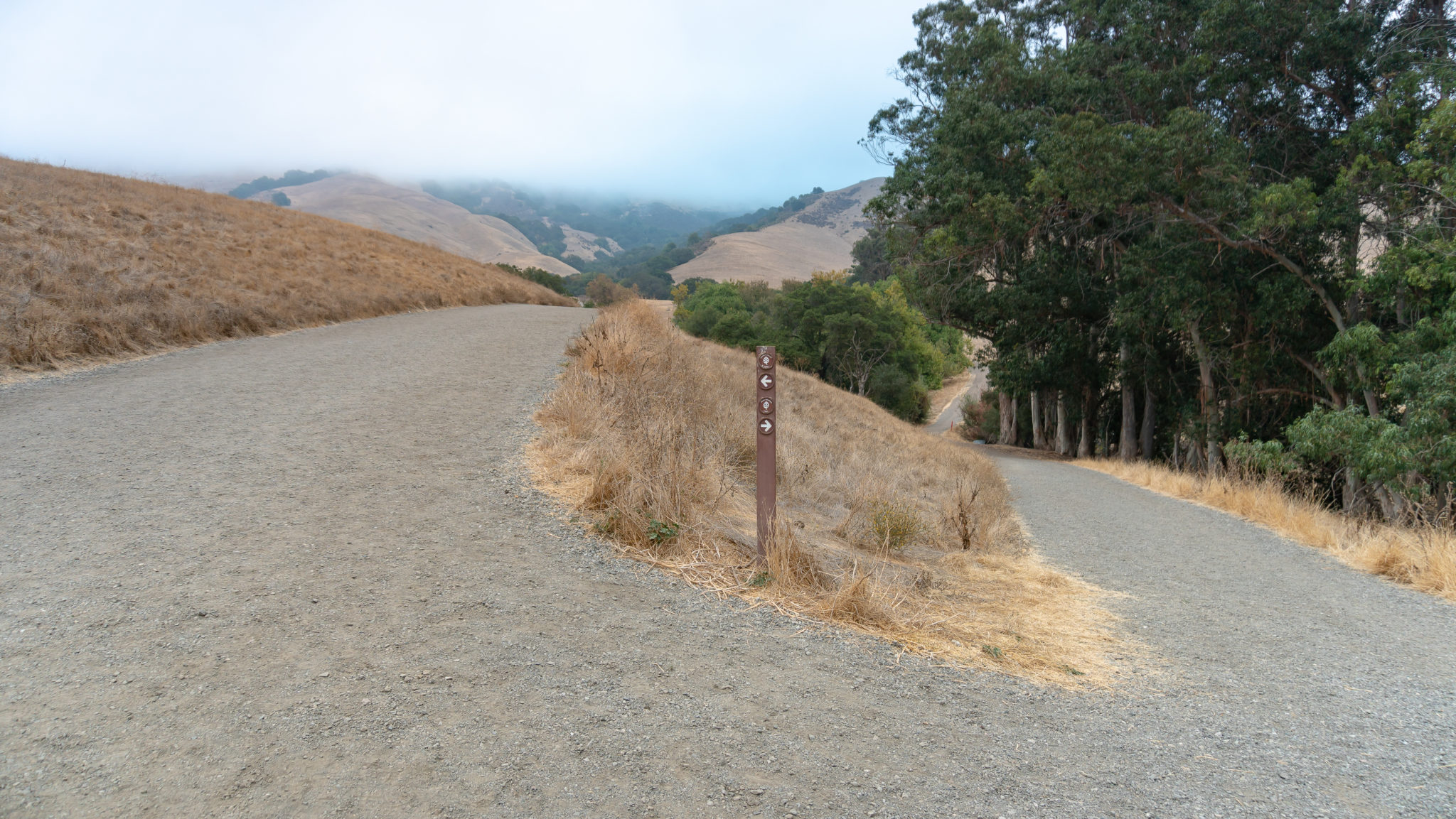
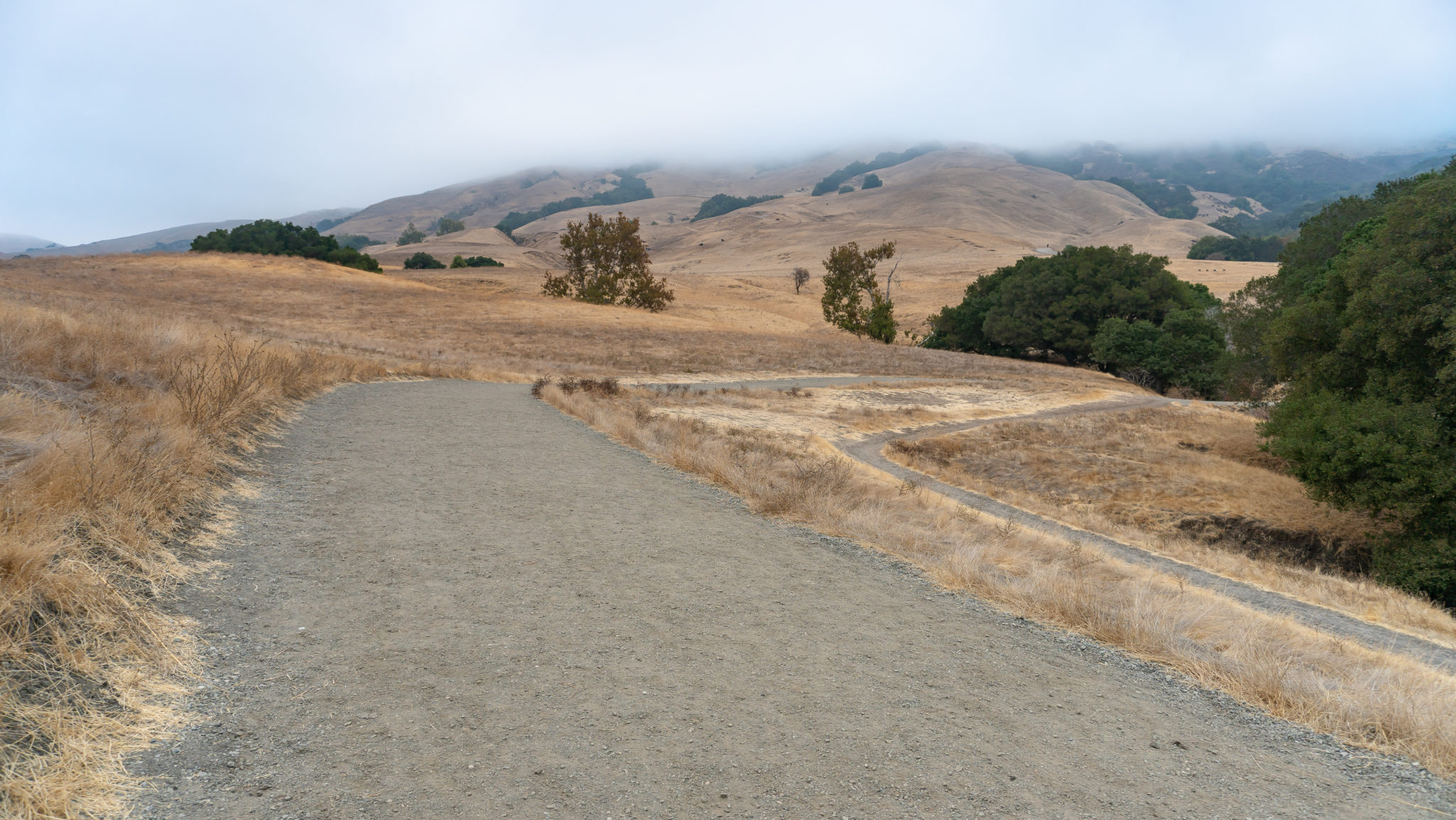
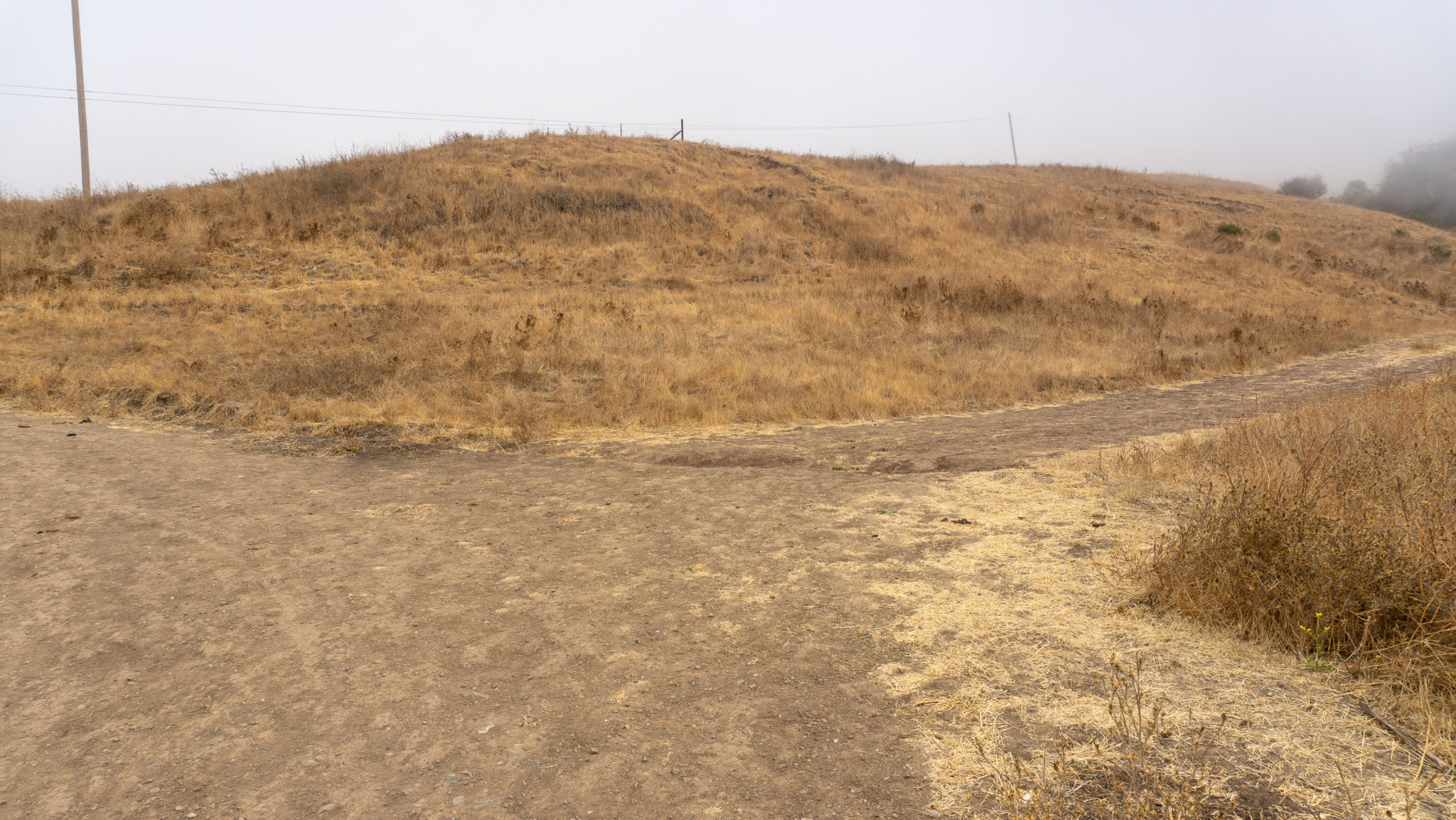
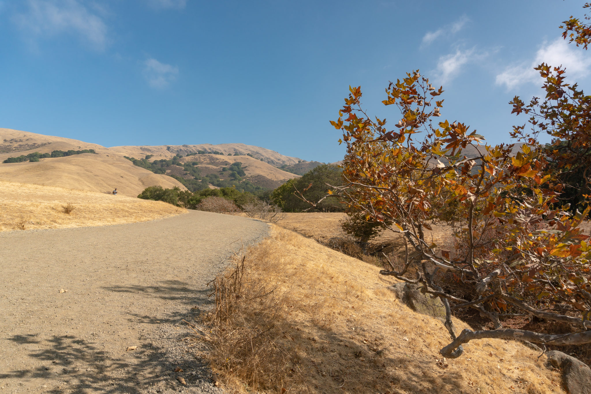
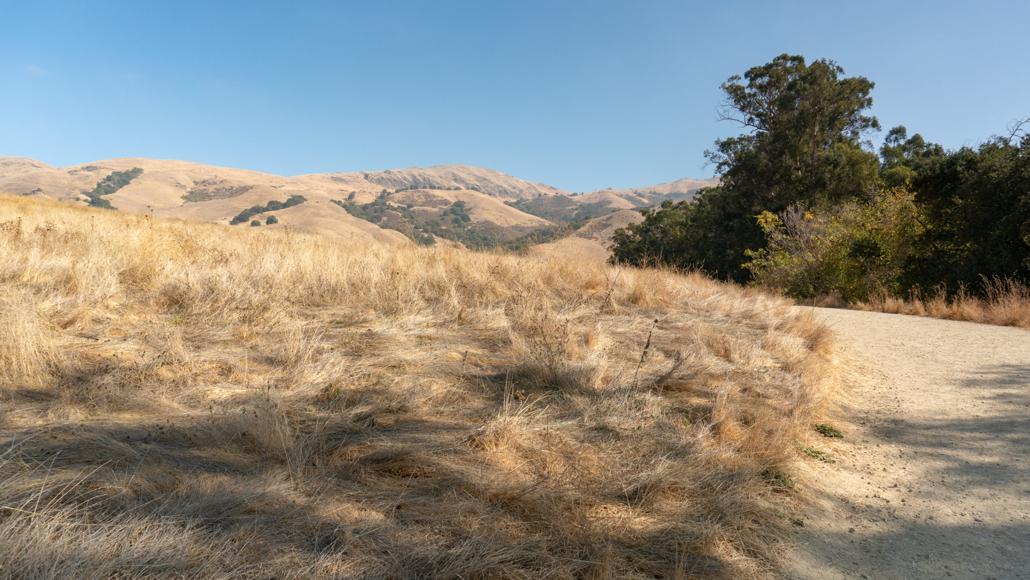
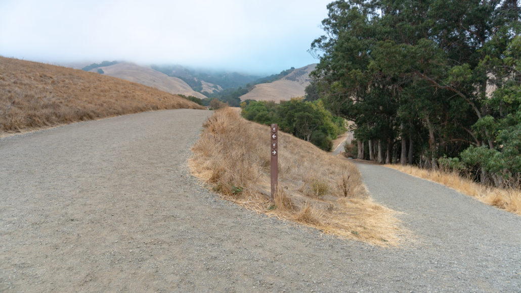
At the 1.5-mile mark, spot an unsigned trail on your right. This is the Peak Meadow Trail, which loops back to the Stanford parking lot for a 3.7-mile round-trip loop in Mission Peak Regional Preserve. Bring a map with you if you explore this route and others in the preserve. Sometimes trails can get overgrown or lack signage and a map will help orient you.

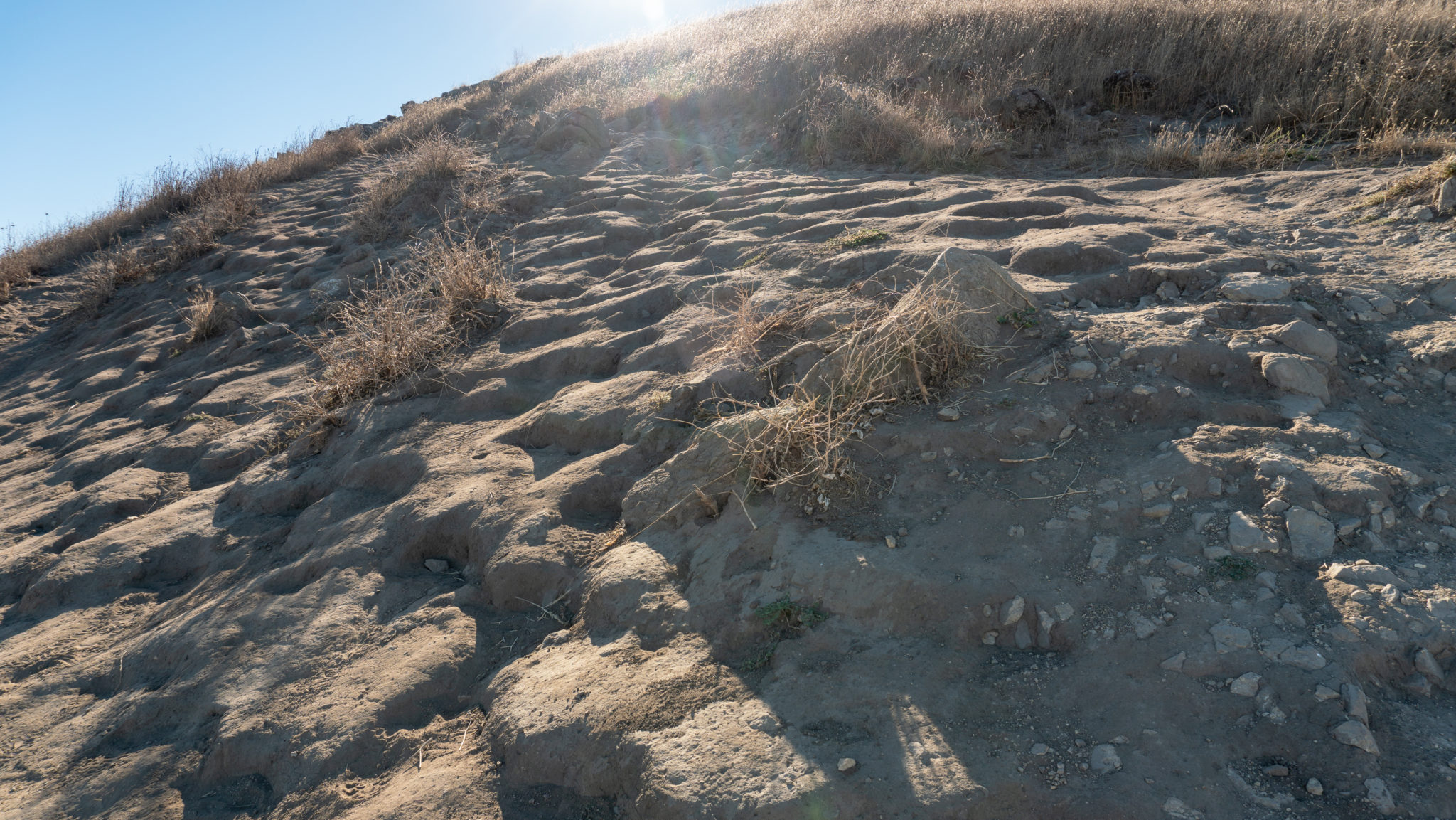
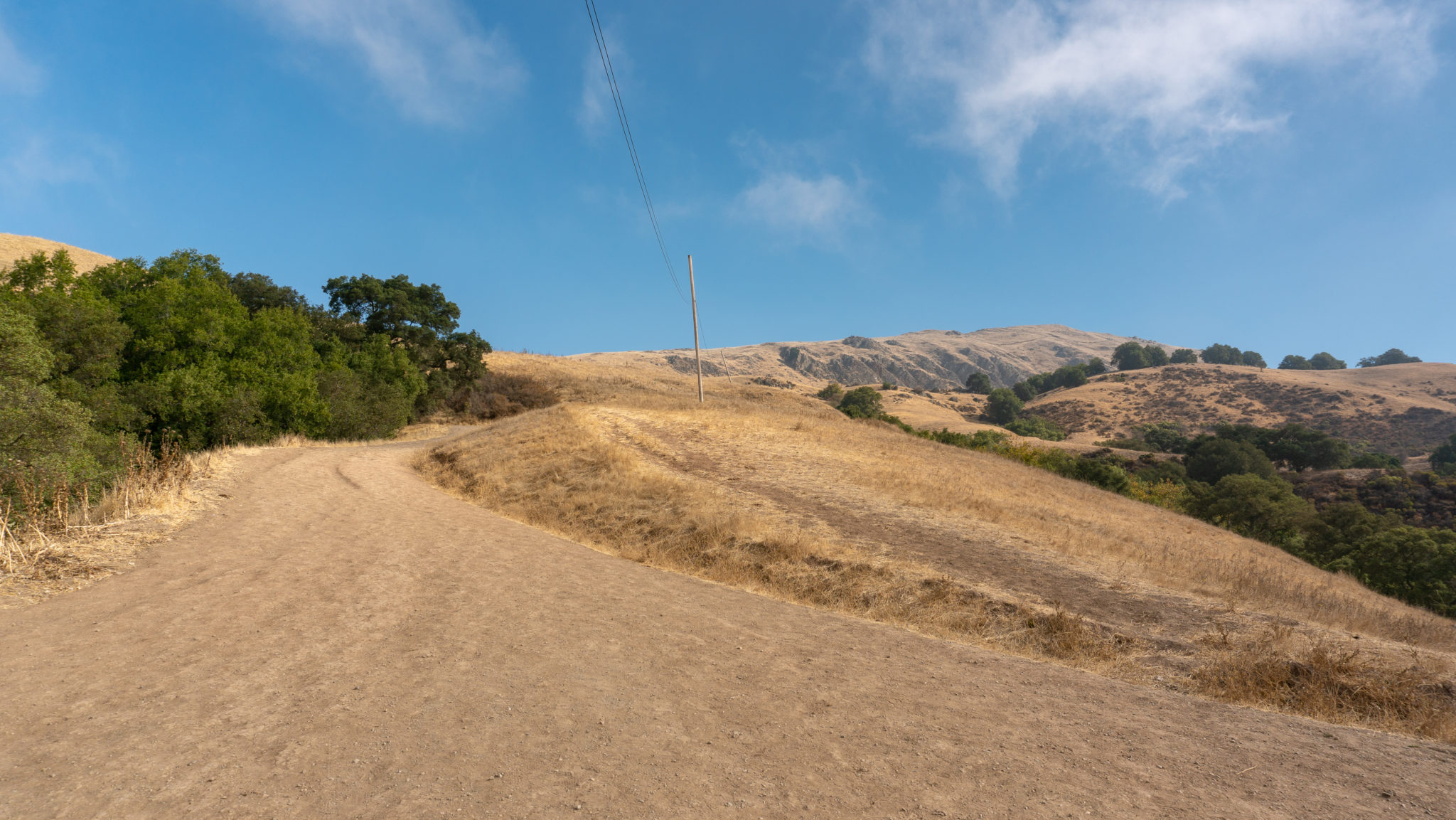
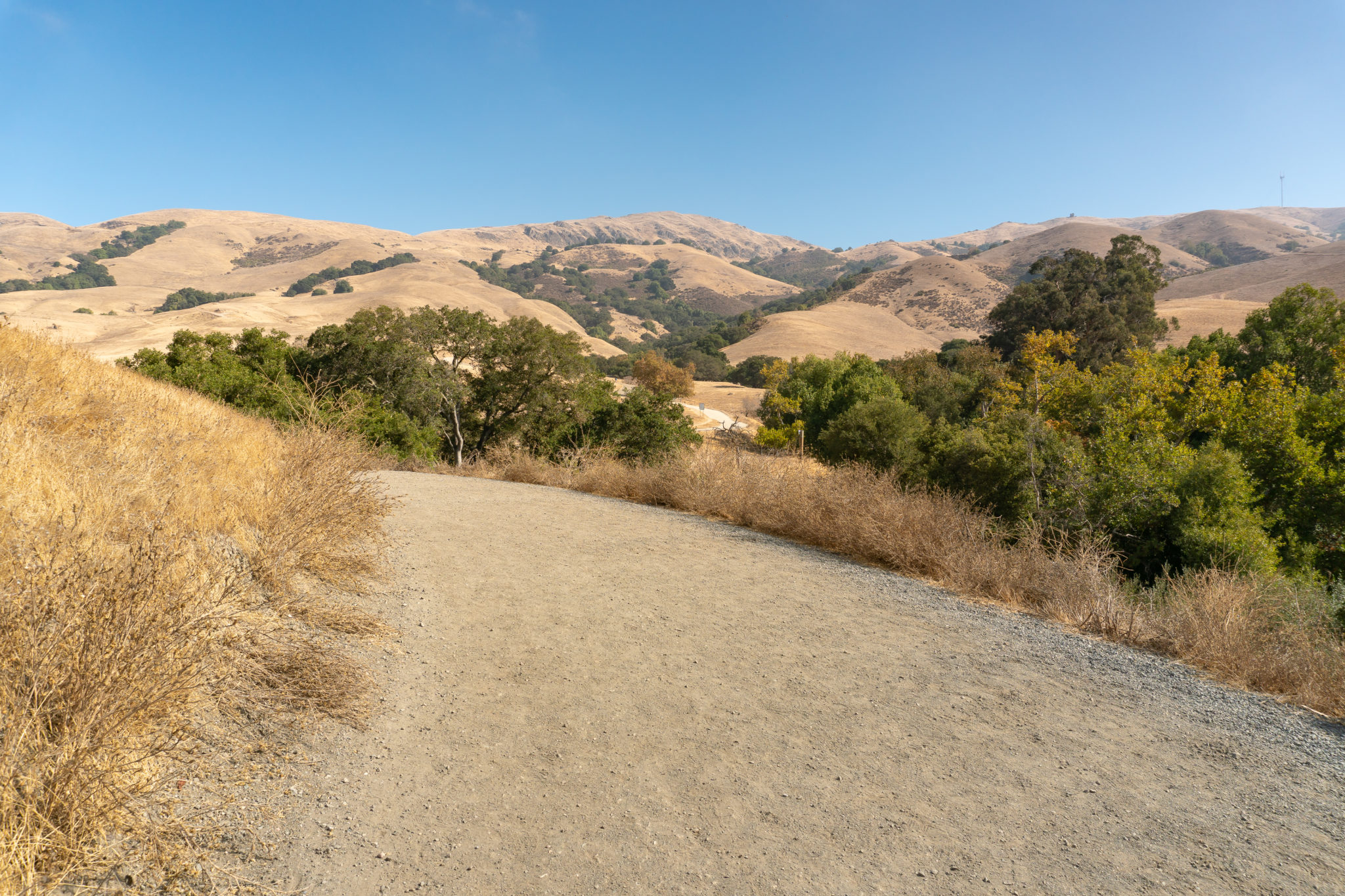
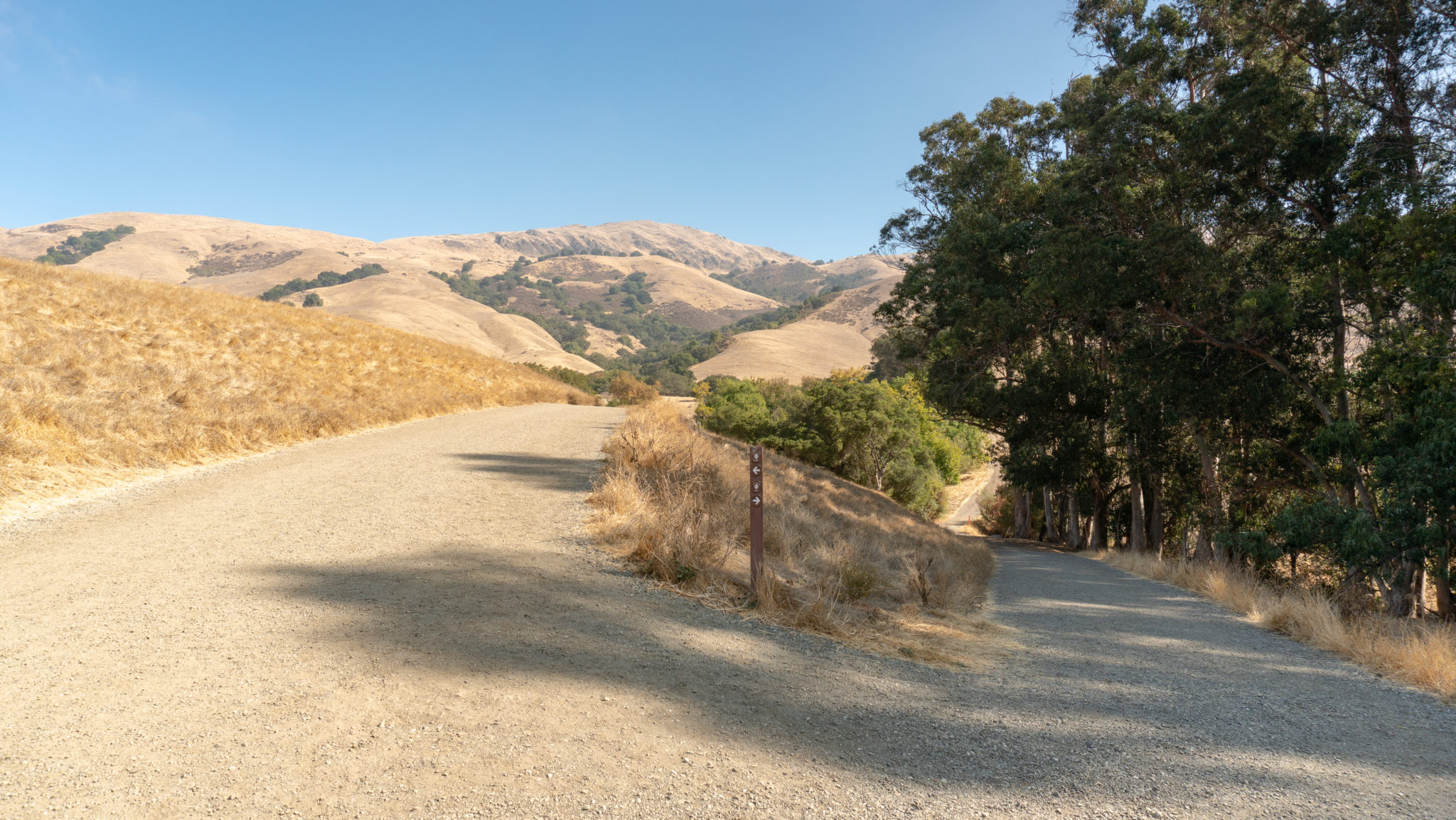
Past the Peak Meadow Trail, ascend 500 feet over the next 0.9 miles. The fire road makes a kind of “N” shape as you squiggle pass Bench 4, round a sharp bend to the north, and then head southeast over another cattle grid. As you round a sharp bend in the trail to head north again, you will pass the Grove Trail on your right. It cuts south through the preserve past a park residence to the Horse Heaven Trail.


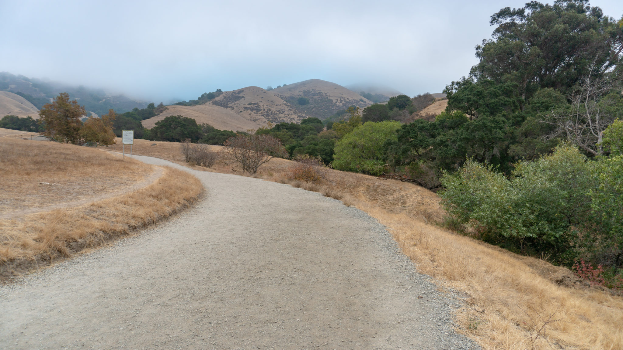
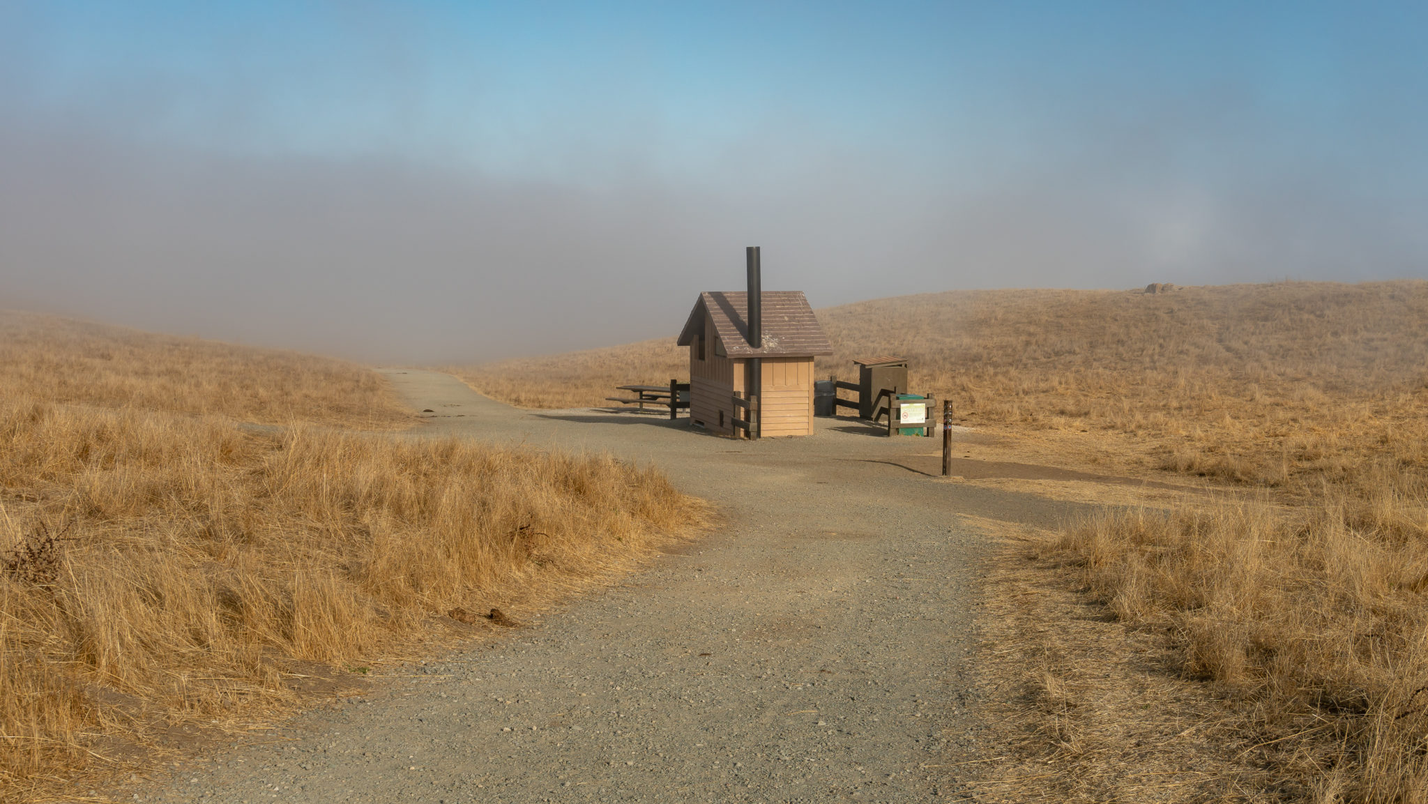
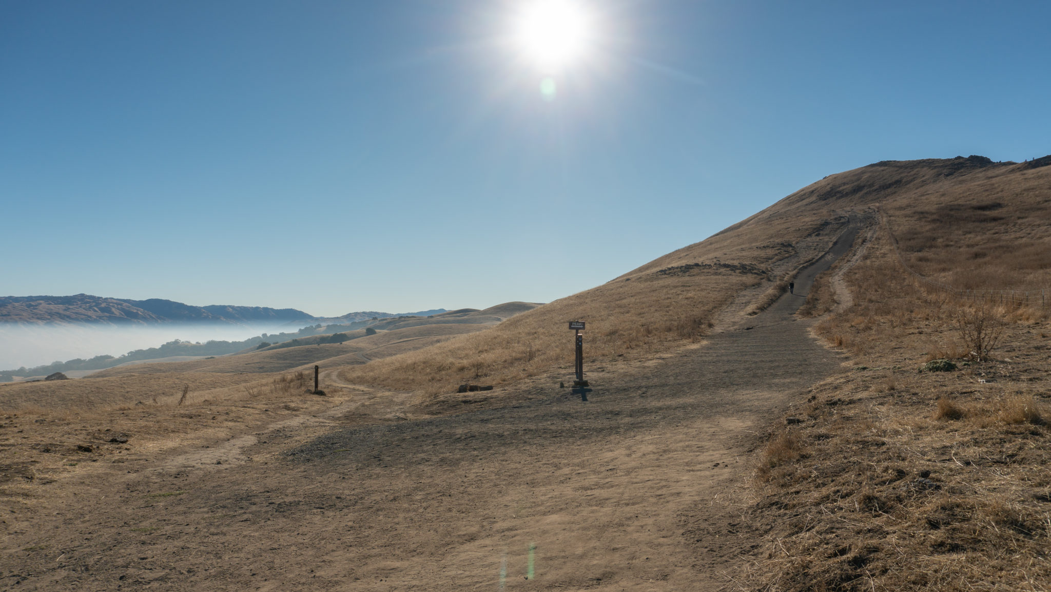
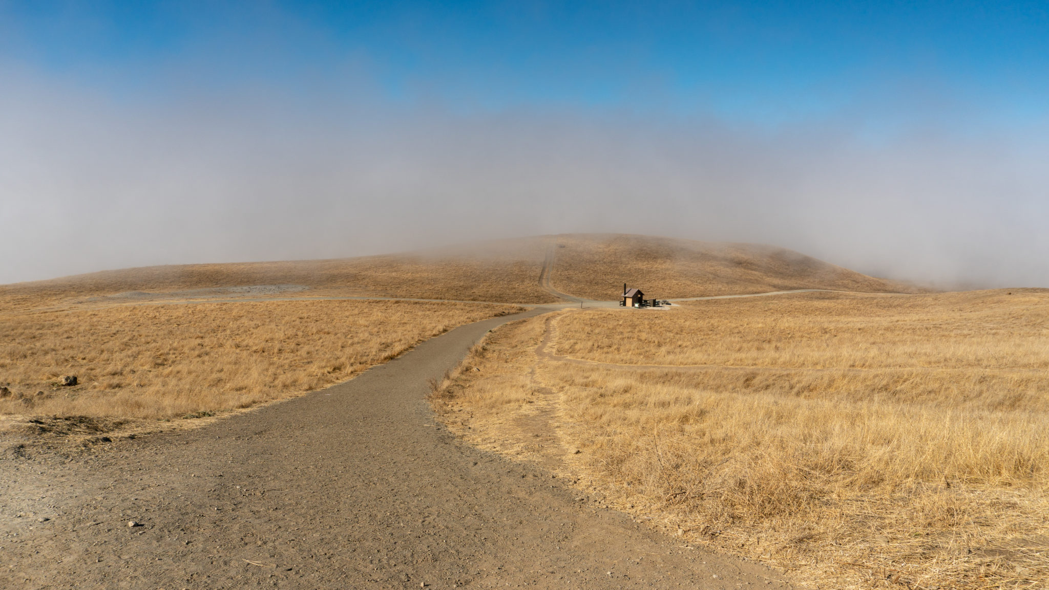
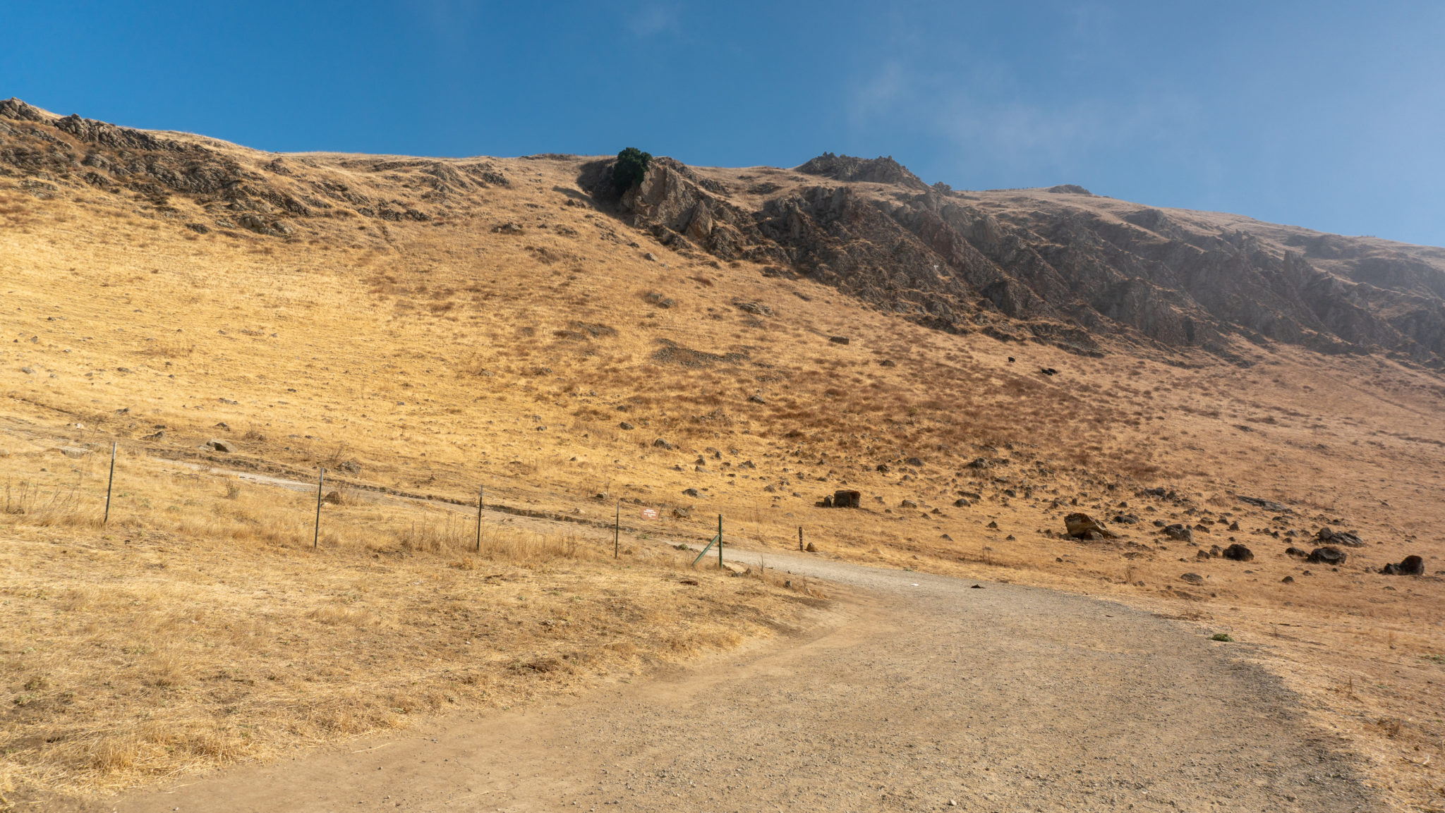
Cresting a ridge, pass a signed junction with the Peak Trail on your left at the 2.4-mile mark. There is a pit toilet 0.1 miles down the Peak Trail, and this way also leads to a hang gliding and paragliding launch site for Wings of Rogallo, a local hang gliding club. The Peak Trail eventually leads back to Ohlone College and is the route you would take to Mission Peak if you had started from there.


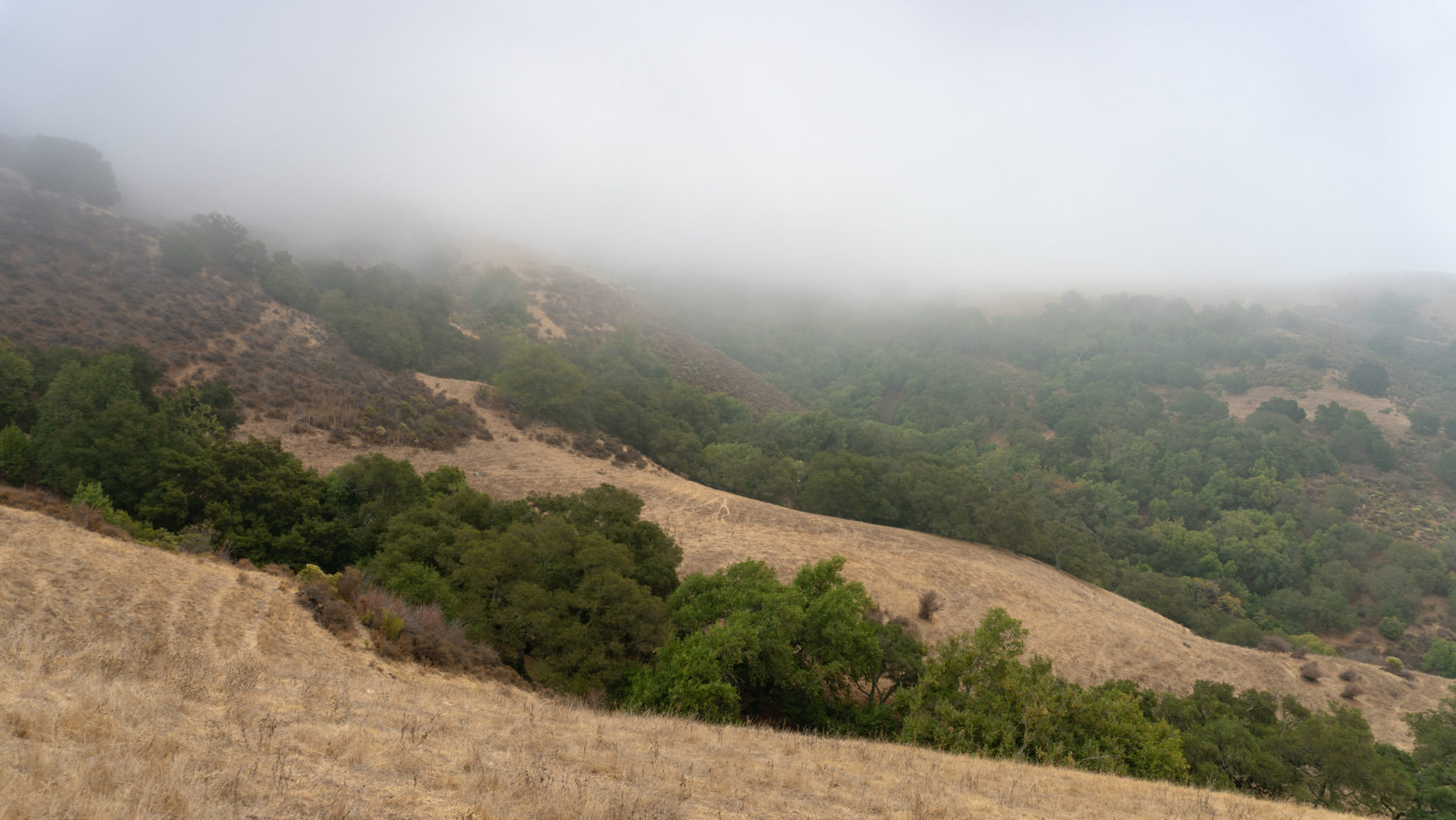
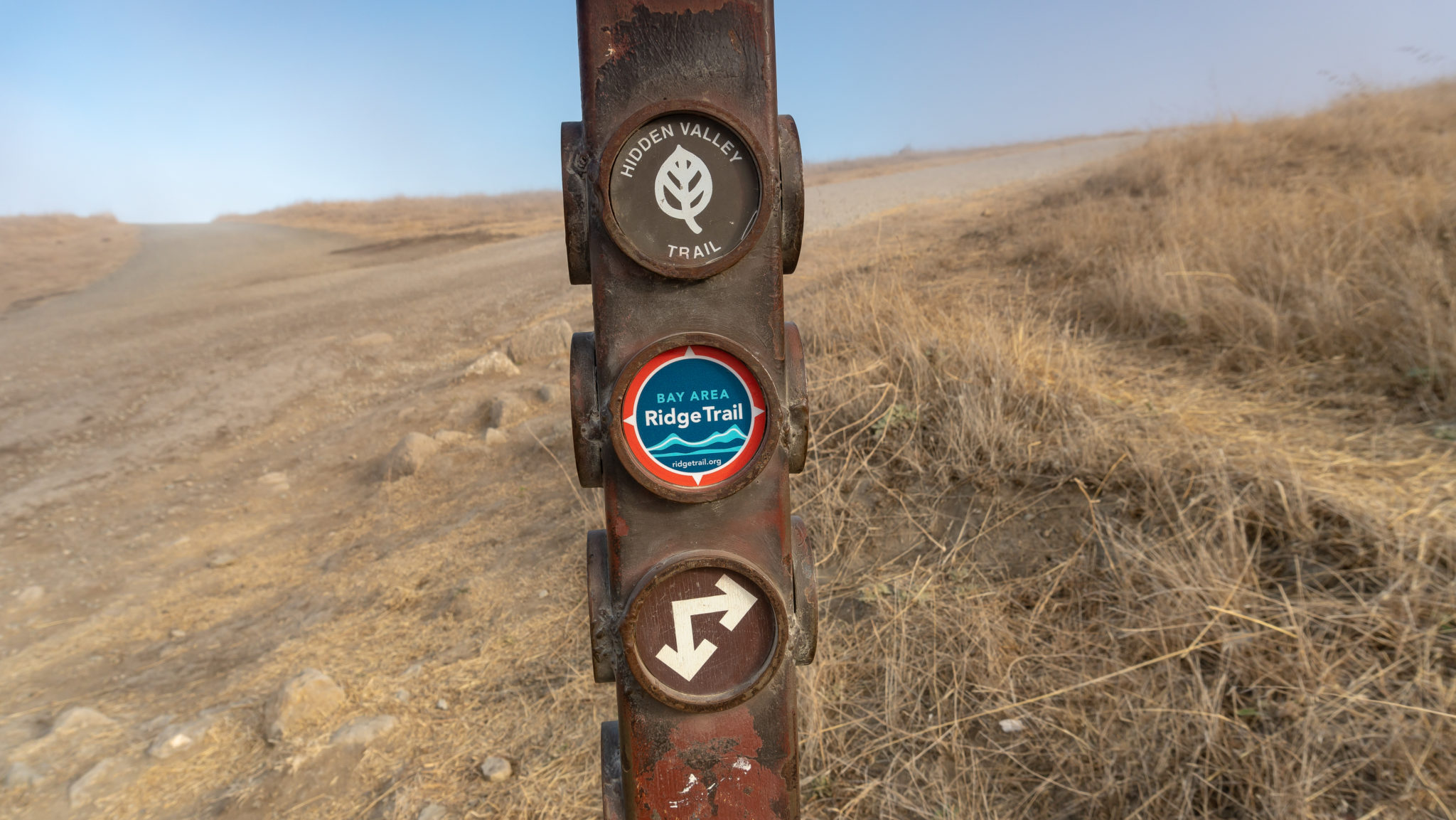
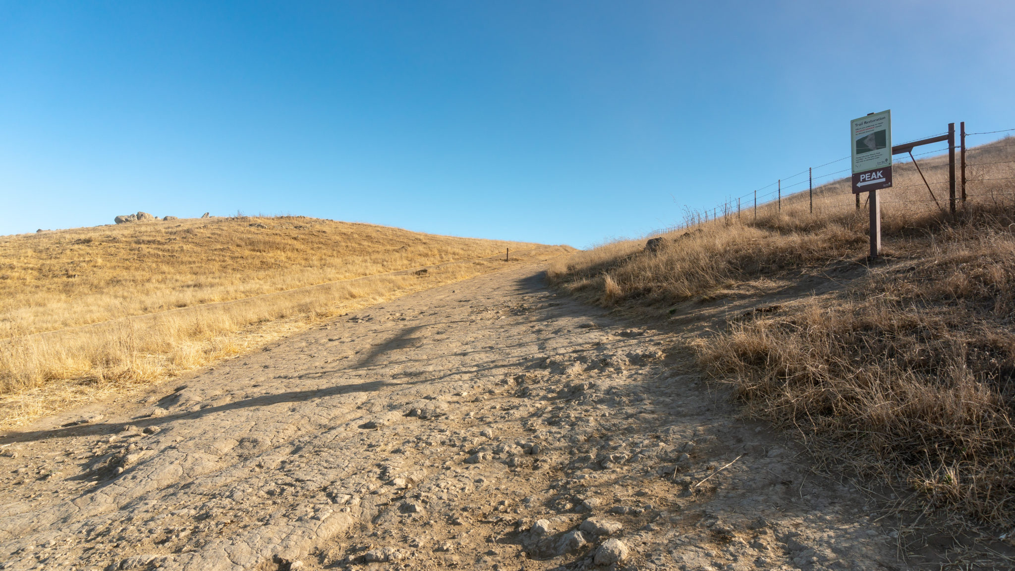
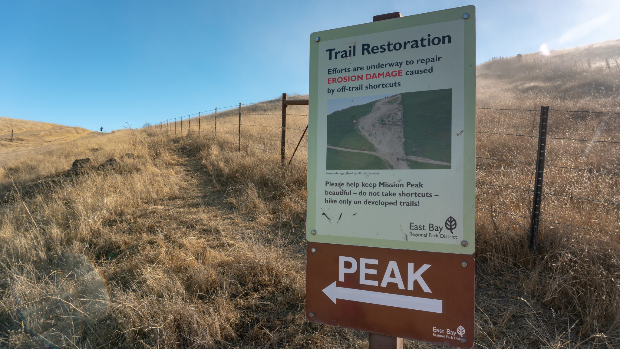
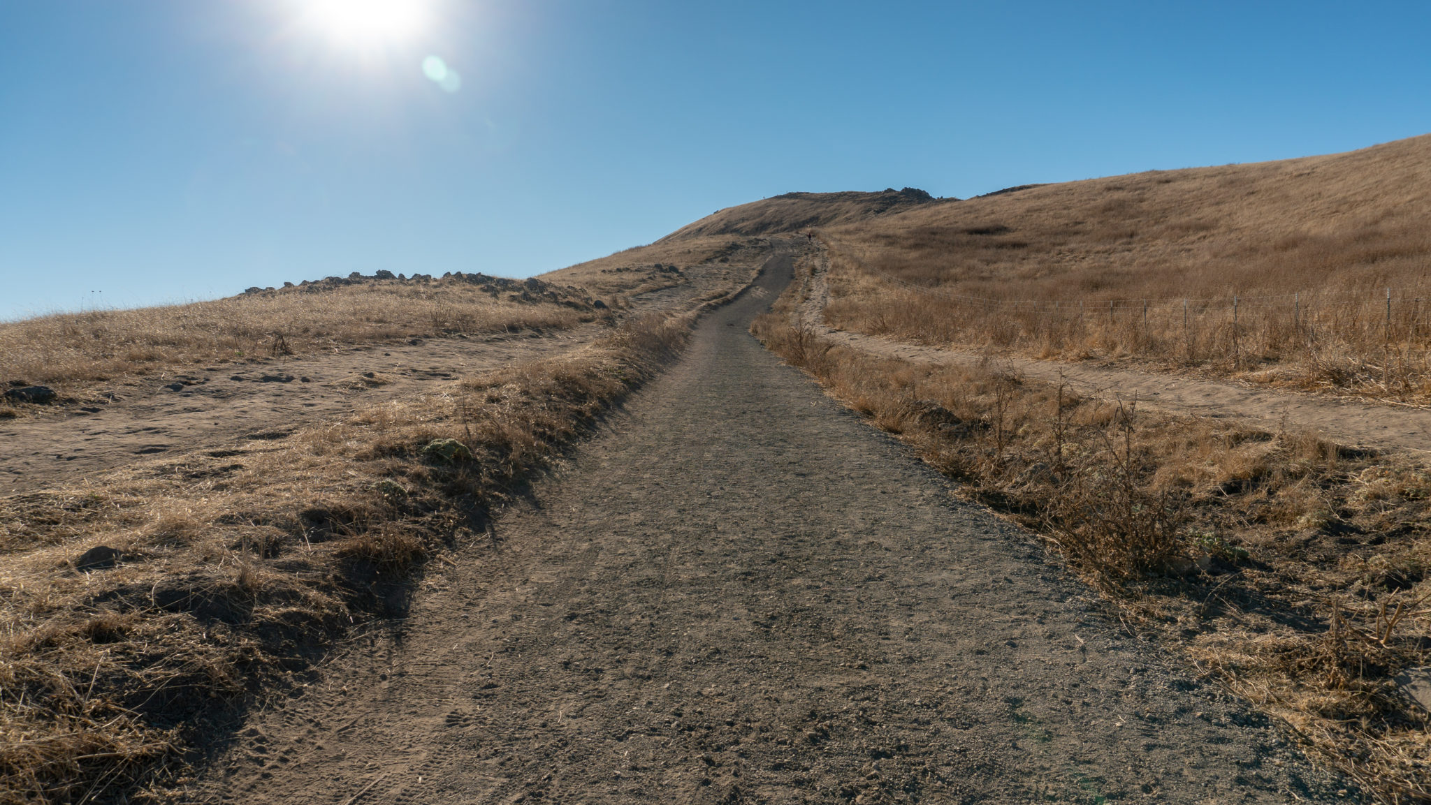
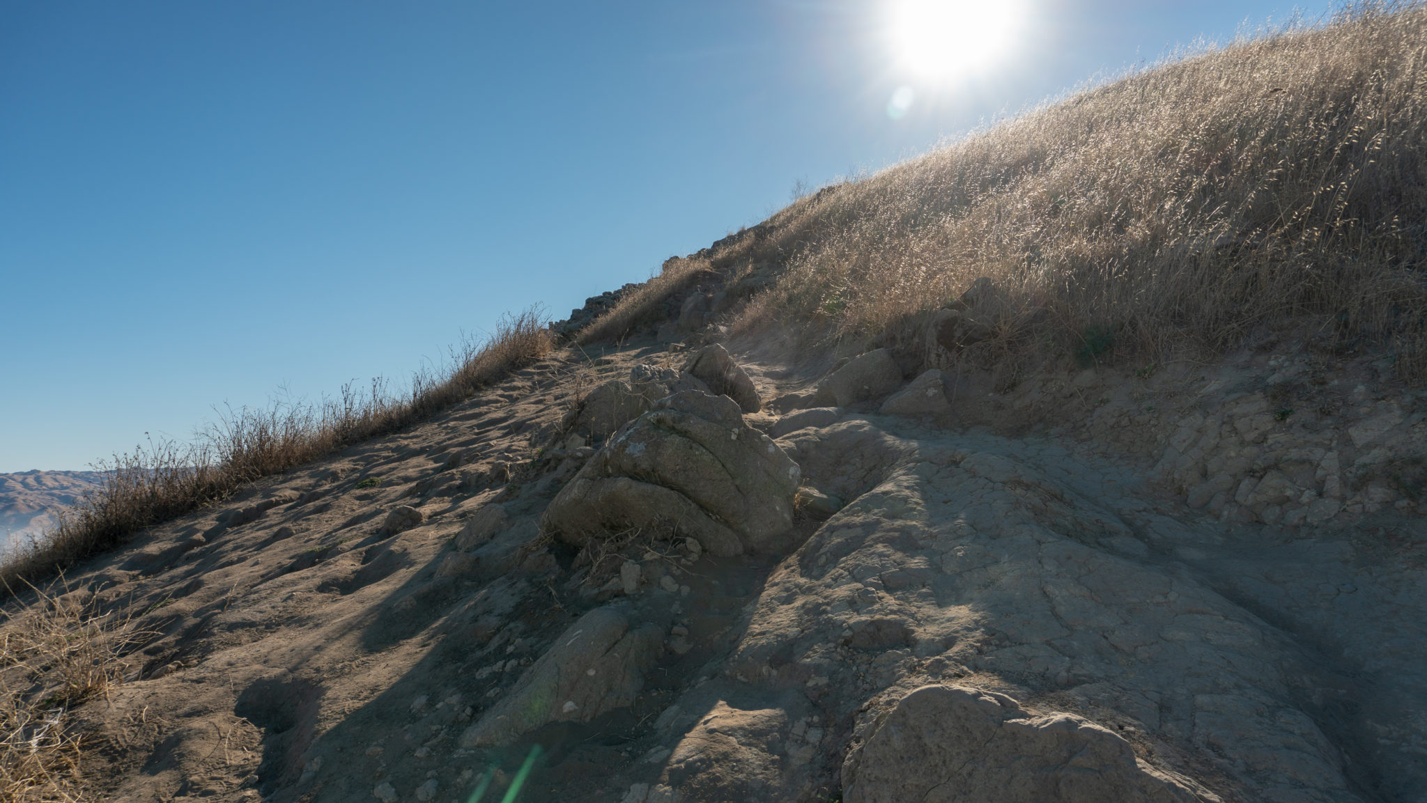
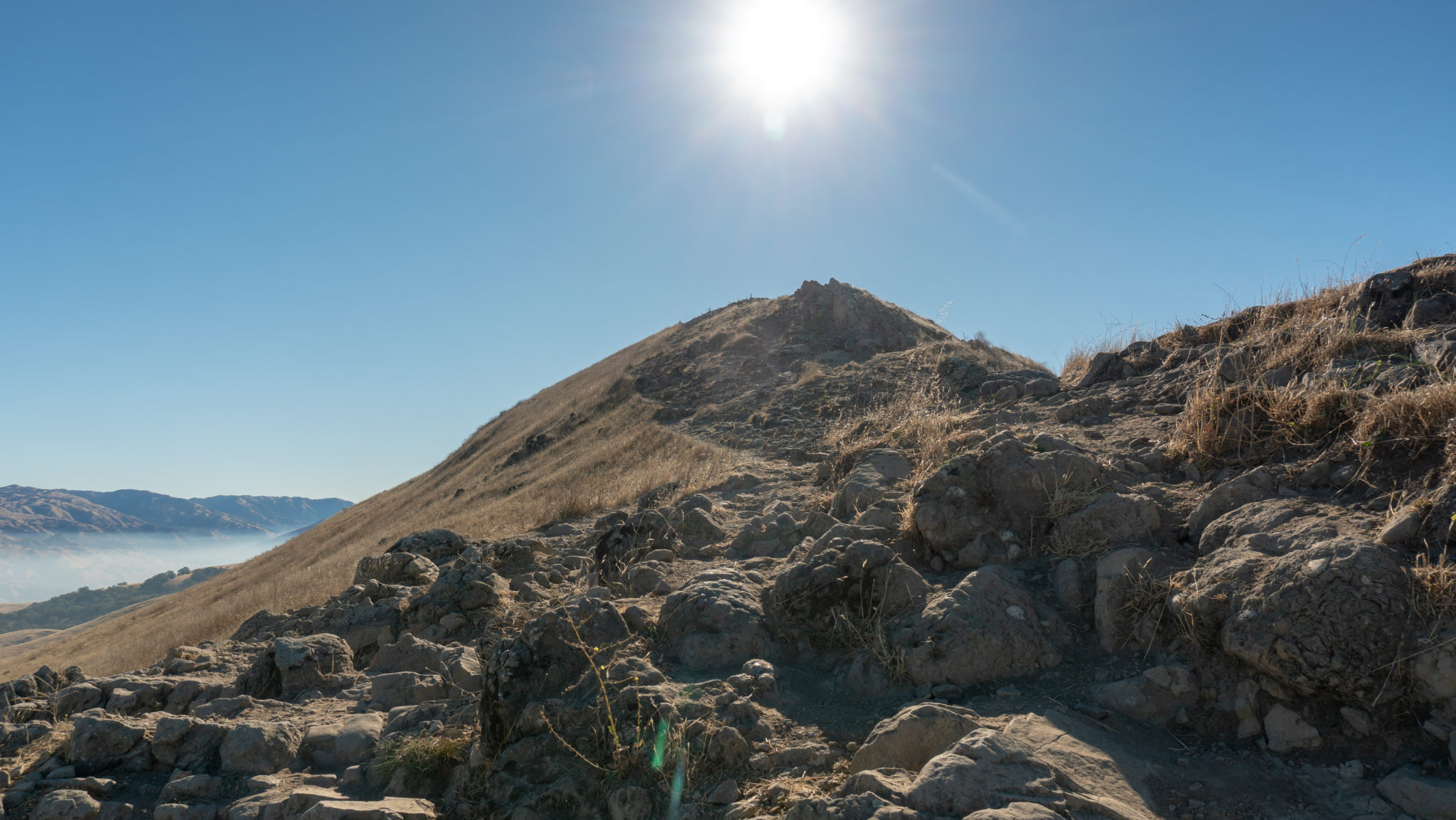
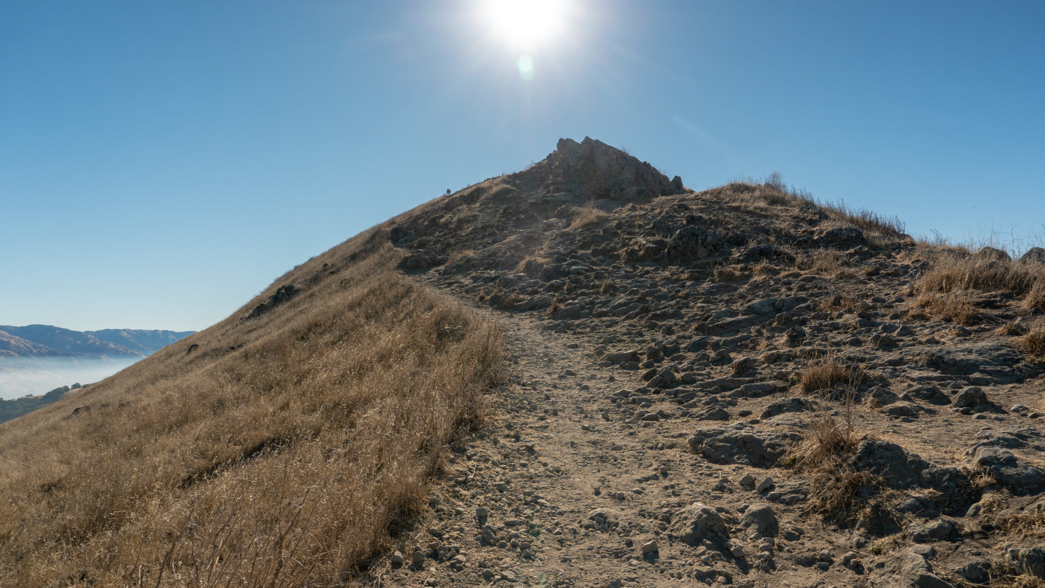
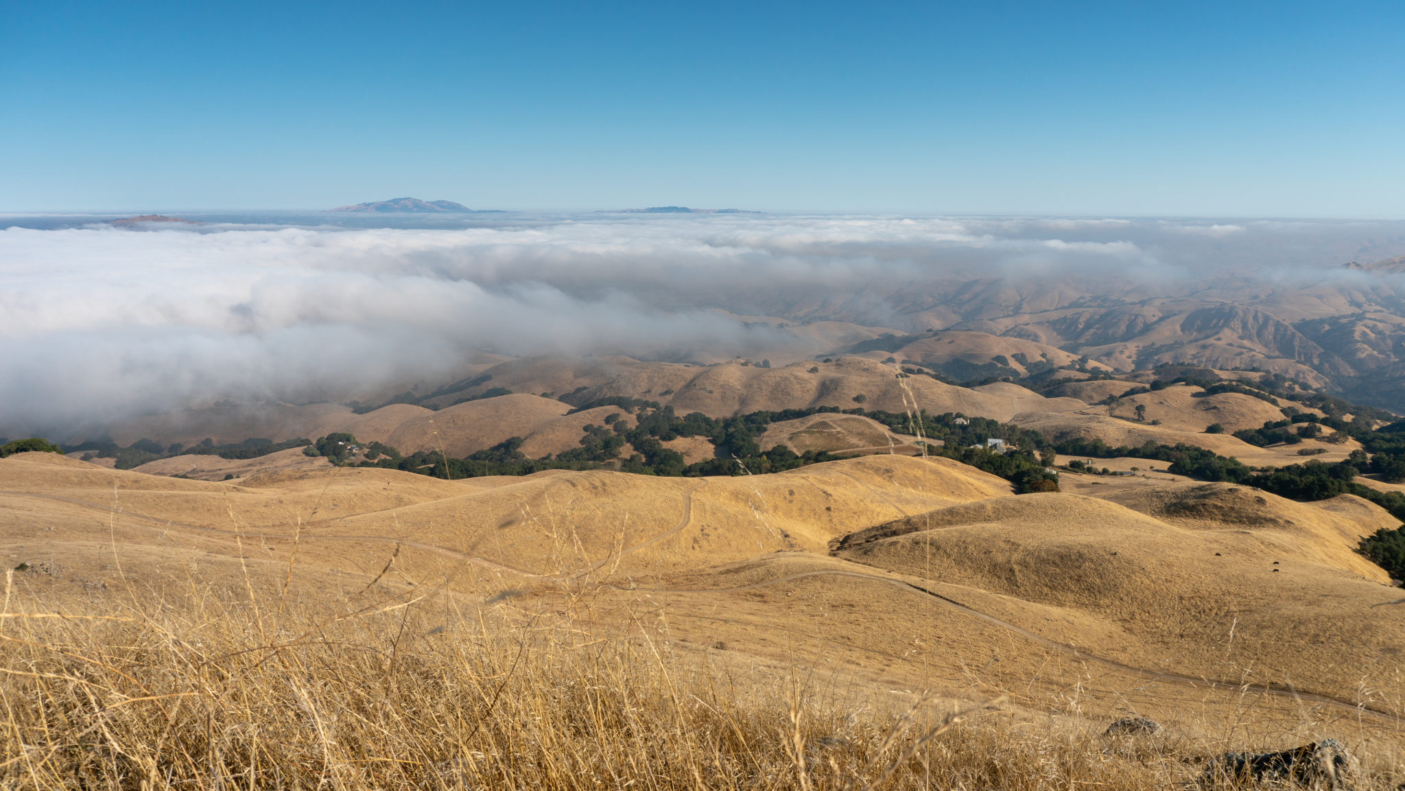
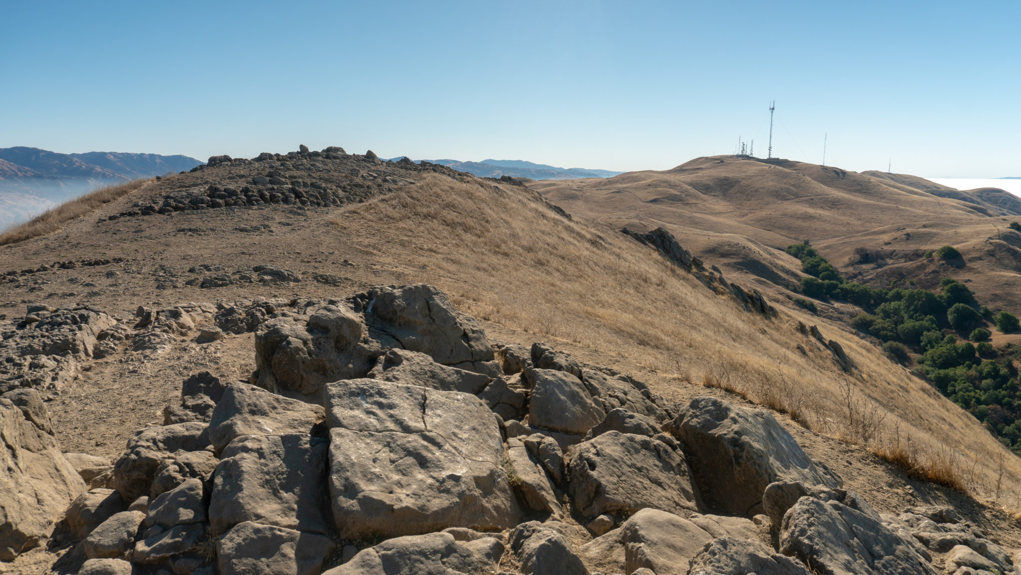
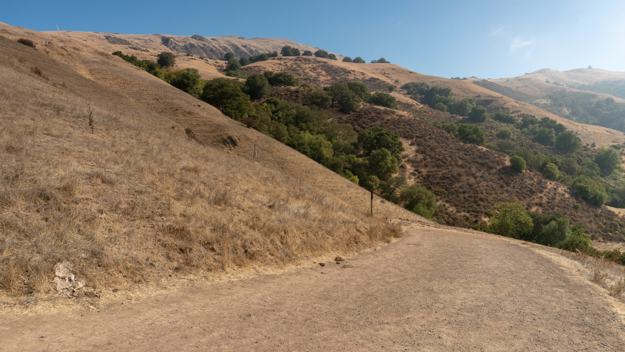
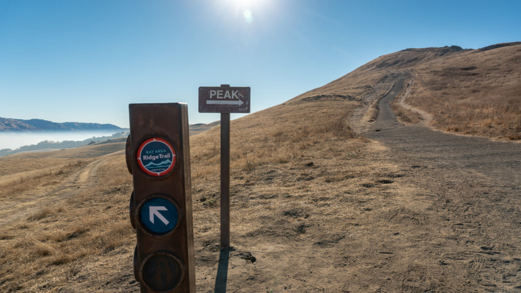
Past the Peak Trail junction, the trail curves like a question mark around to the southeast, gaining 550 feet in the next 0.7 miles to Mission Peak. Although steep, views of Mount Diablo open up to the north, the beautiful rolling hills of Sunol Regional Wilderness unfold to the east, and Mission Peak is in your sights to the southeast. Bear right at a junction for the Bay Area Ridge Ridge Trail, following the “Peak” sign.


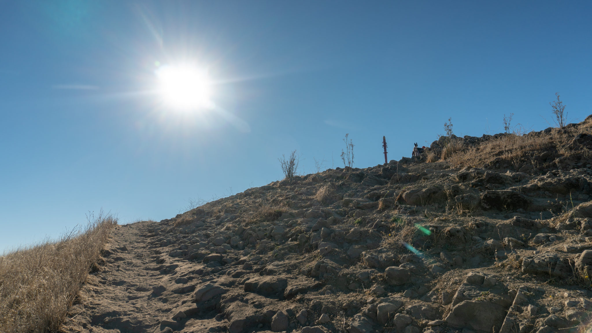
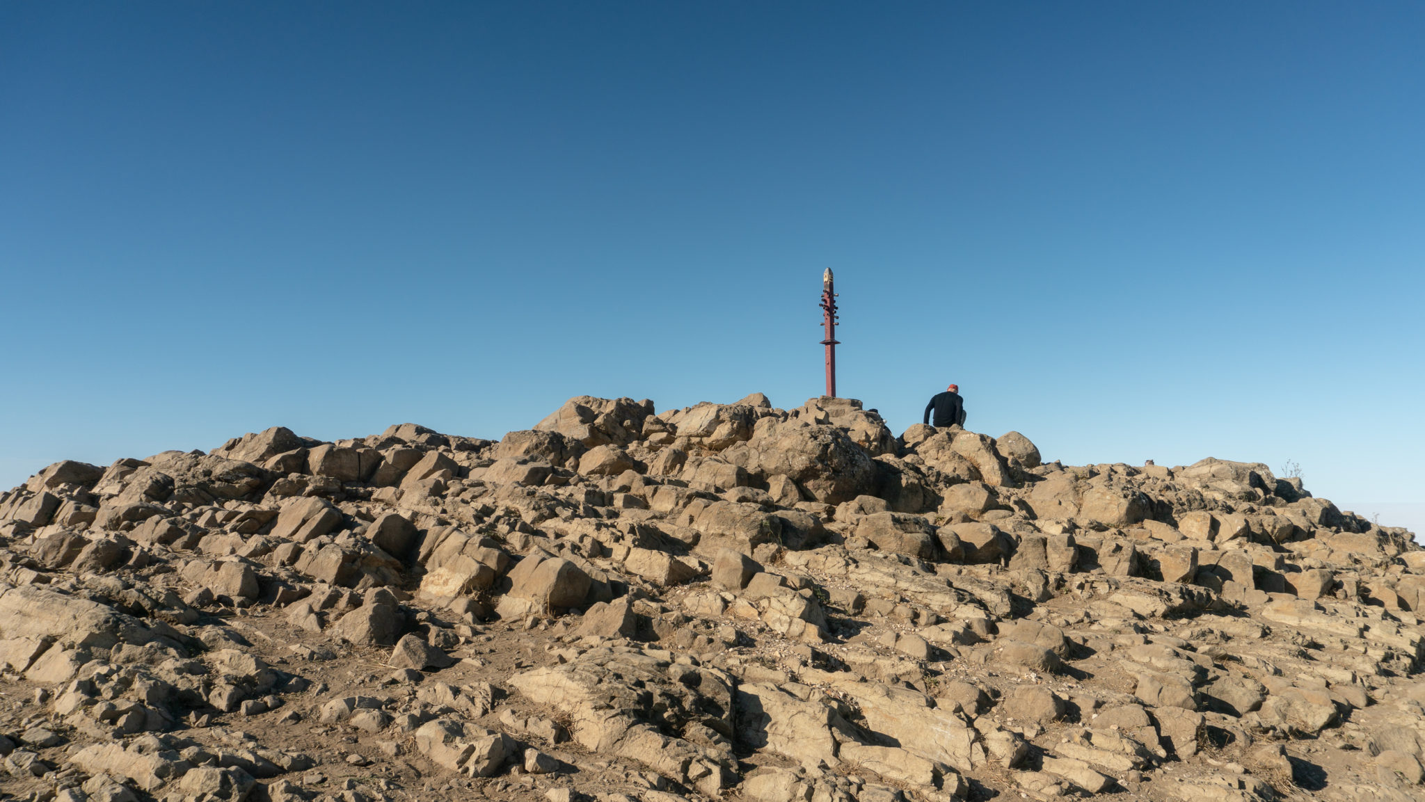
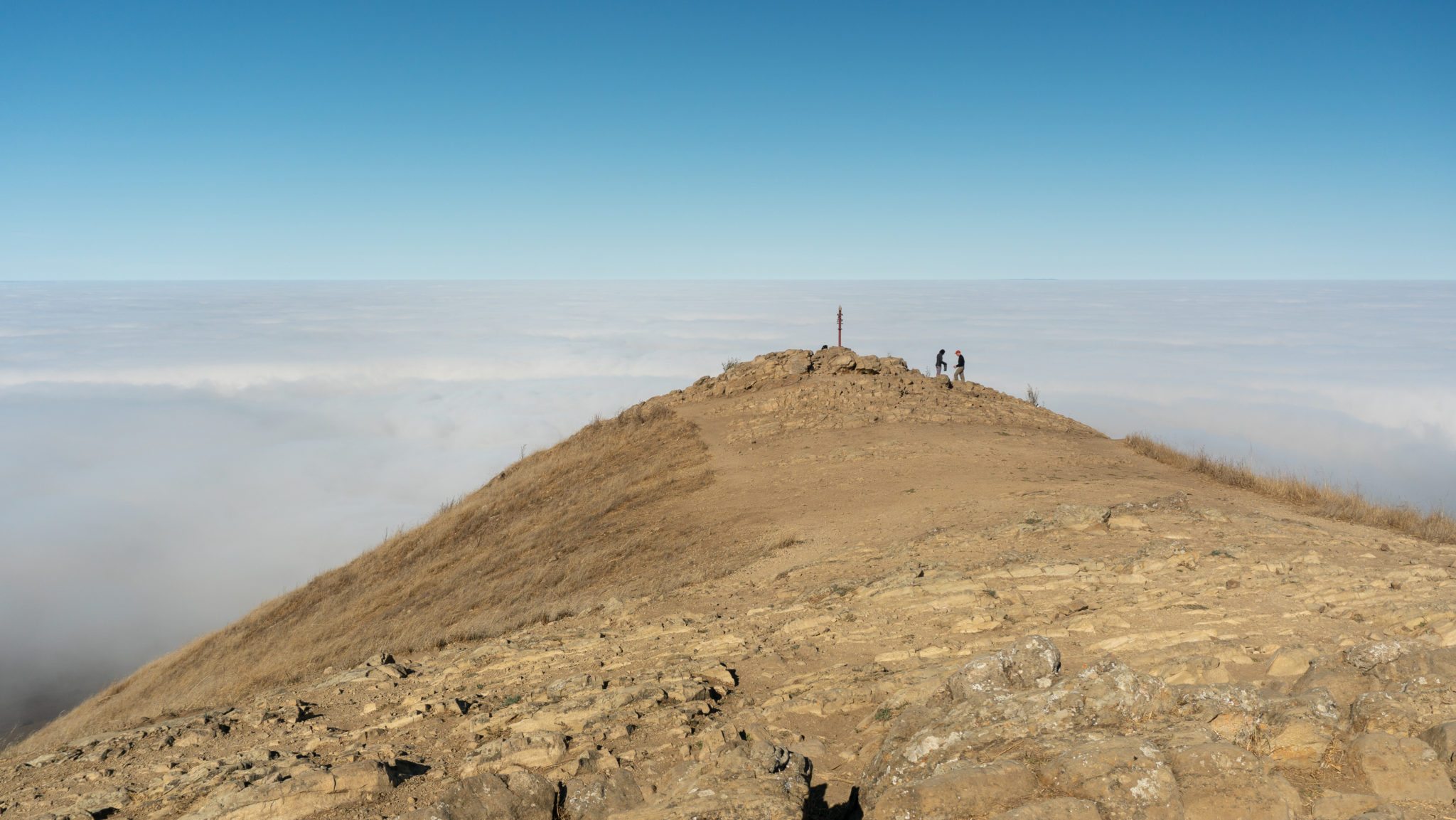
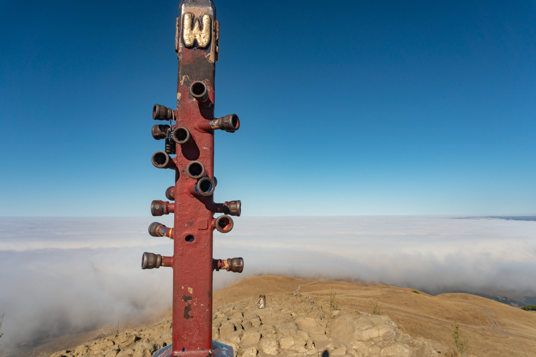
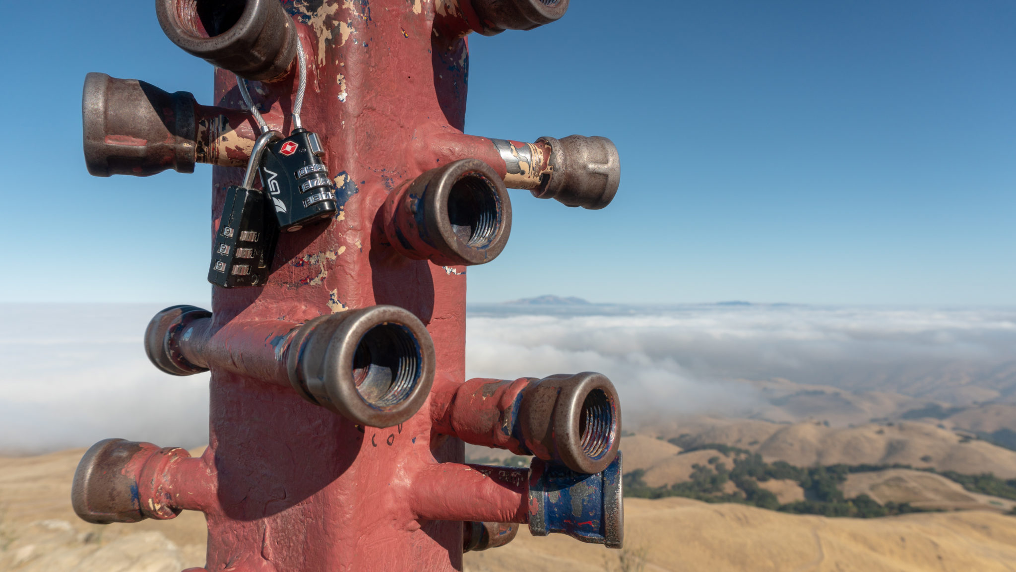
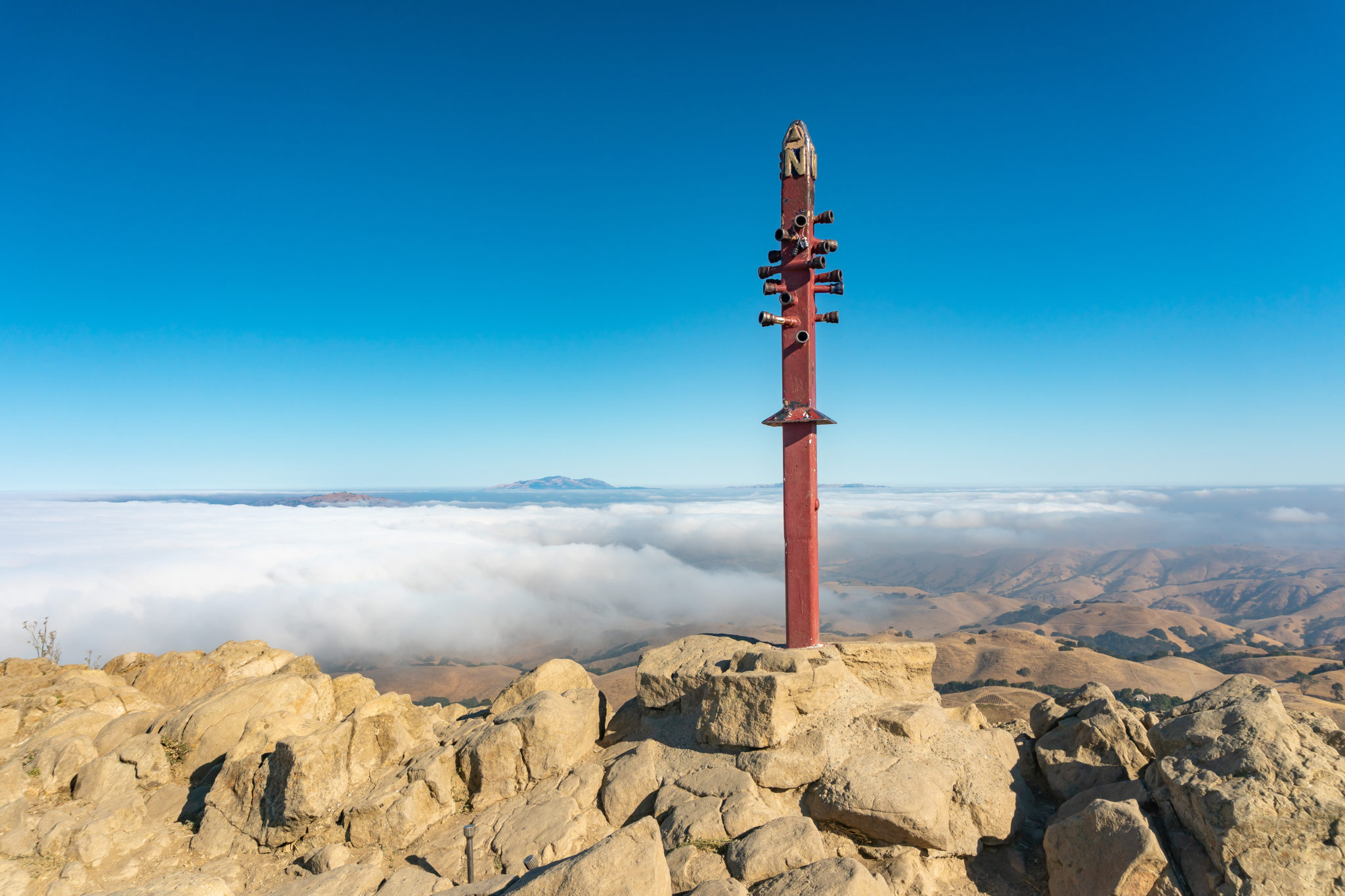
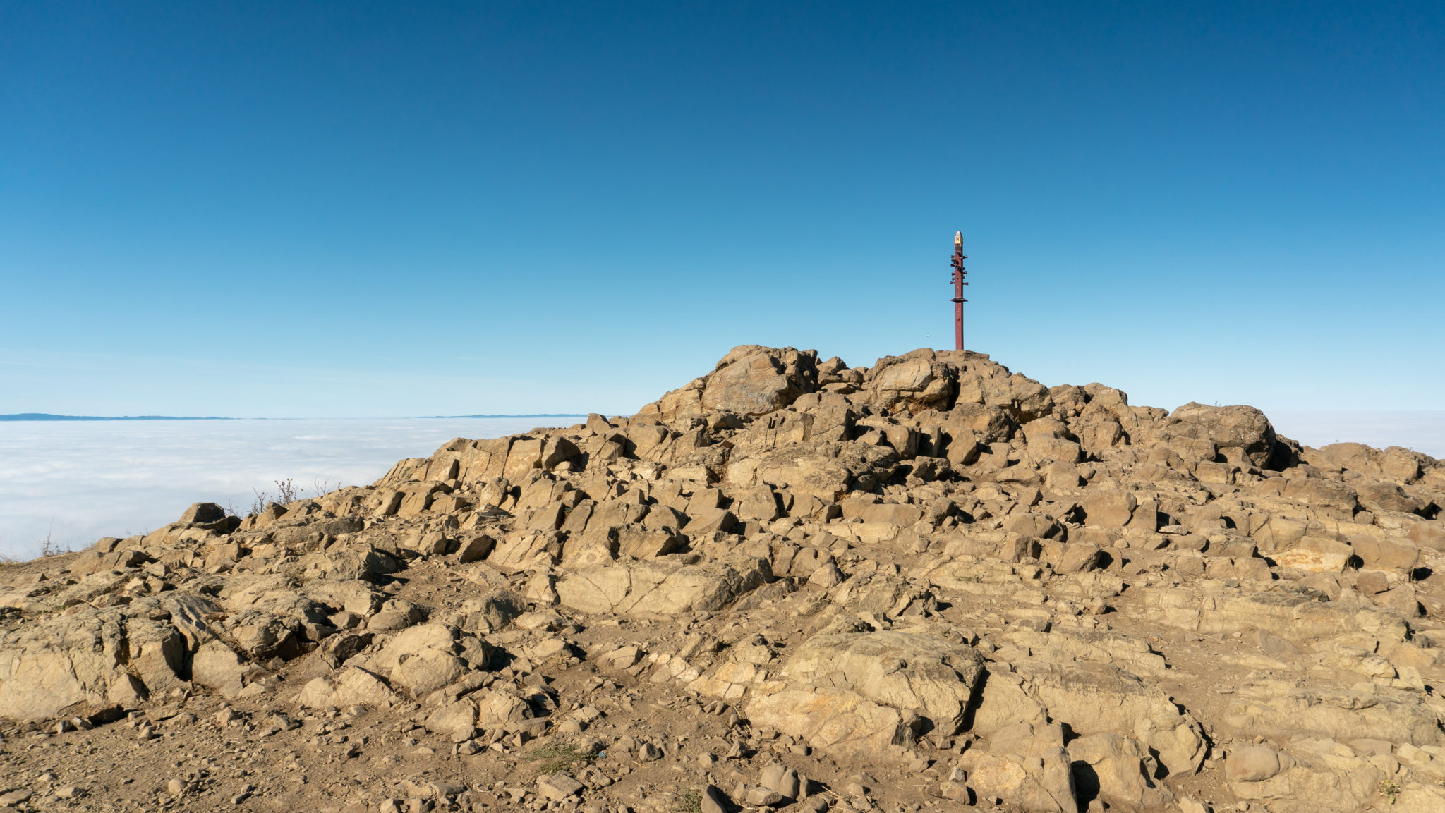
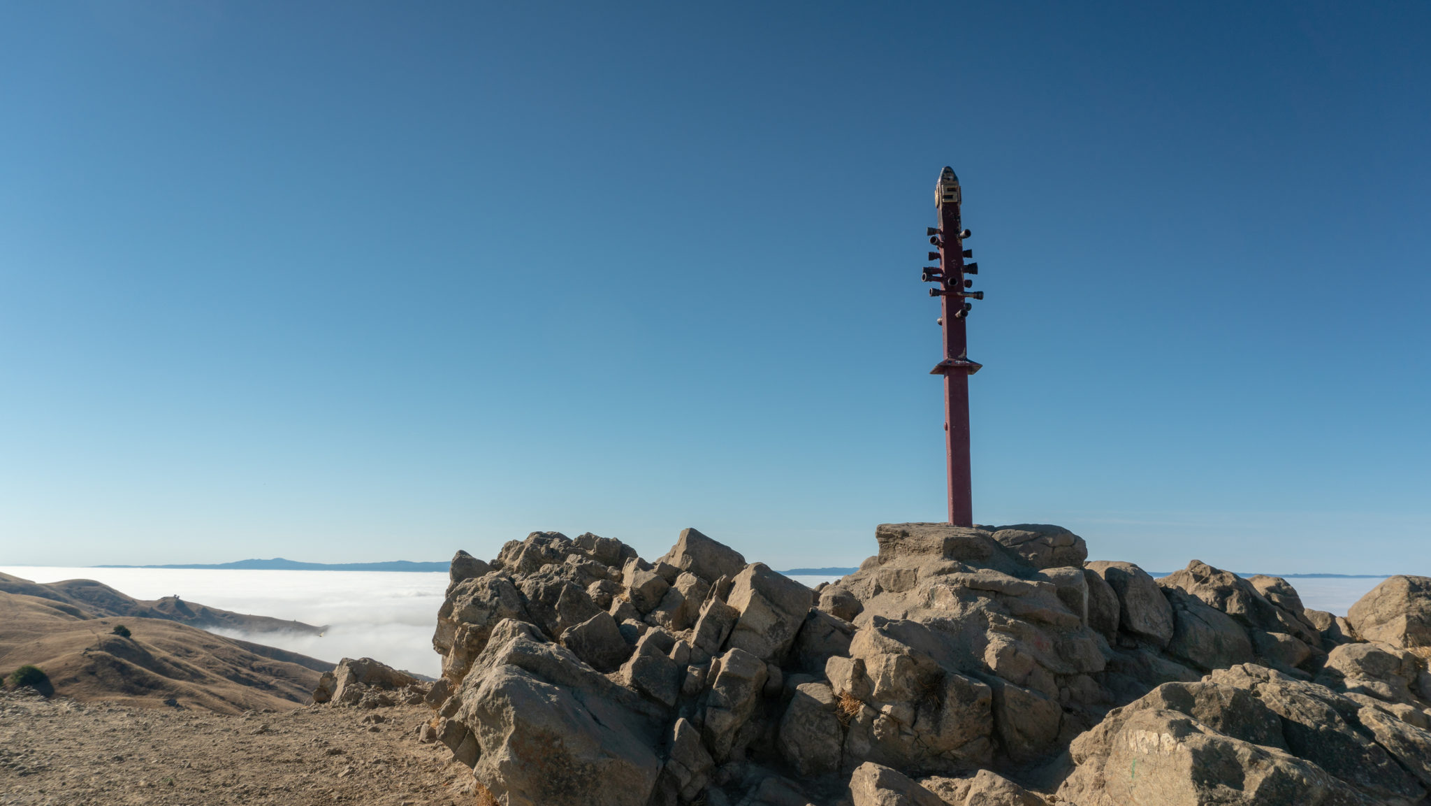
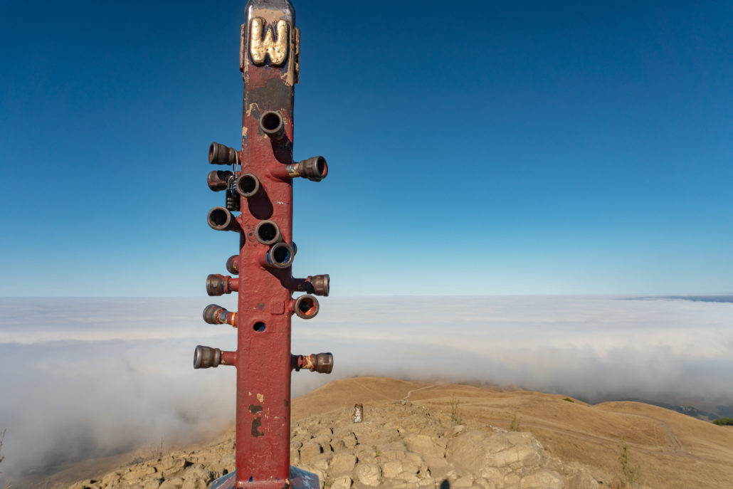
Reach the red Mission Peeker pole at the 3.1-mile mark. Congratulations, you made it! The Mission Peeker pole was erected here on December 27, 1990, created by sculptor and park ranger Leonard Page. If you look carefully through the little sight tubes, binocular-like lenses give you zoomed-in views of the surrounding 360-degree scenery. You are more likely to see people climbing on top of it for a celebratory picture.
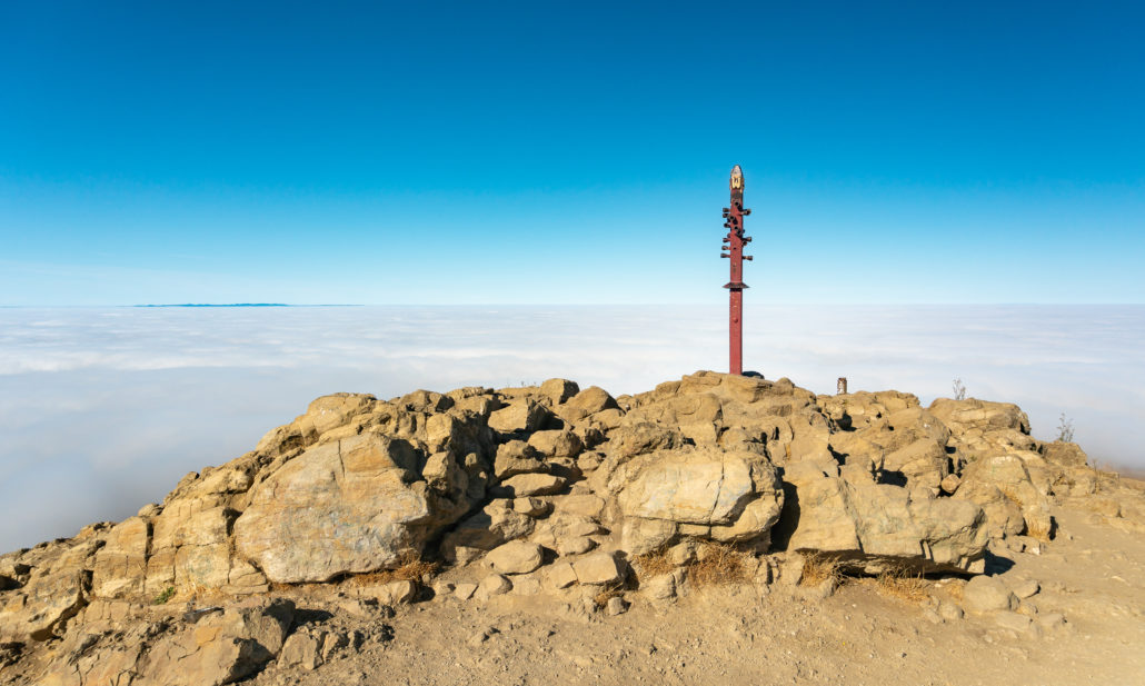
Underneath the Mission Peeker pole are time capsules containing a bottle of 1990 zinfandel wine, a replica of an Ohlone charmstone, and pop culture images like Bart Simpson and the Teenage Mutant Ninja Turtles. The park service plans to open it in 2090 or later.

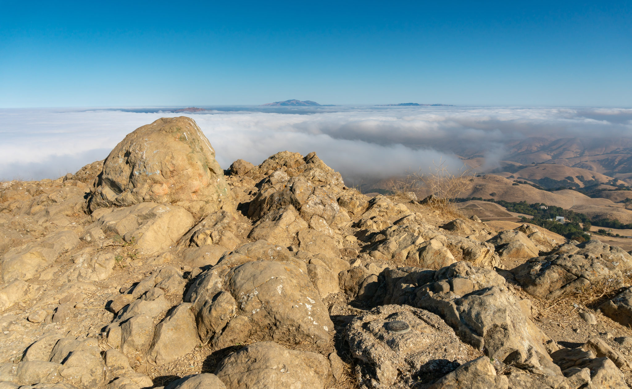
But wait, did you know that the Mission Peeker pole isn’t the true summit of Mission Peak? The true summit is 200 feet to the southeast, where a survey marker rests on a rock pile slightly higher than the rock pile where the Mission Peeker pole is. If you pick carefully among the rocks, you can find it.

Why was the Mission Peeker pole placed near the edge of the mountain, and not the true summit? The original intention for the pole was to promote environmental awareness and for people to use the sight tubes to spot landmarks. It was thought that folks could better see those landmarks from its current location at the edge of the mountain. It has evolved instead into a popular historical artifact and tourist attraction in Fremont.
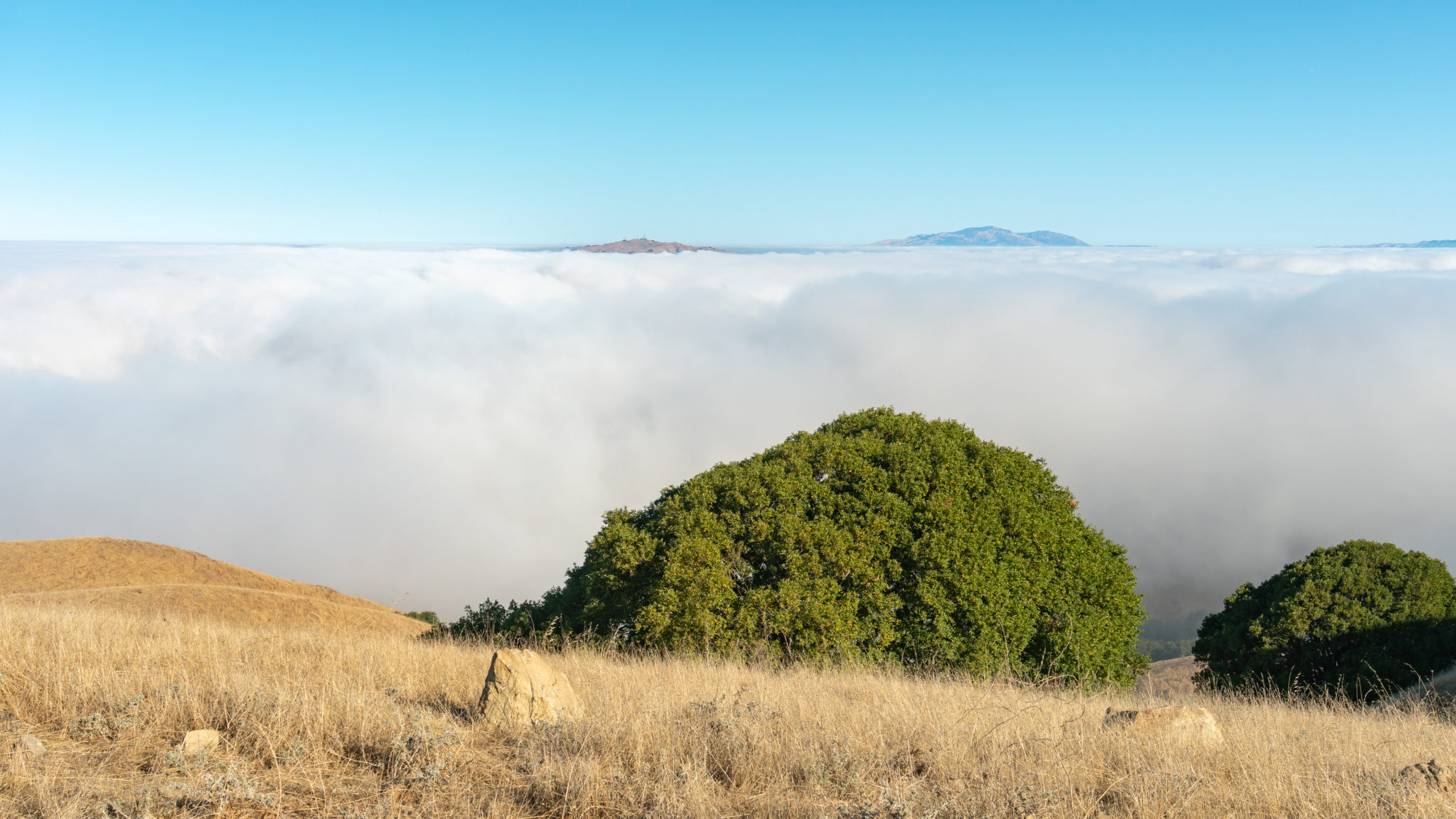
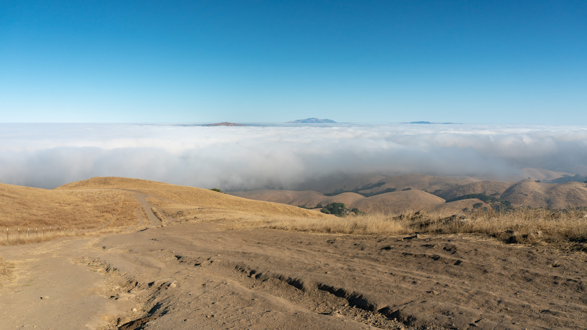
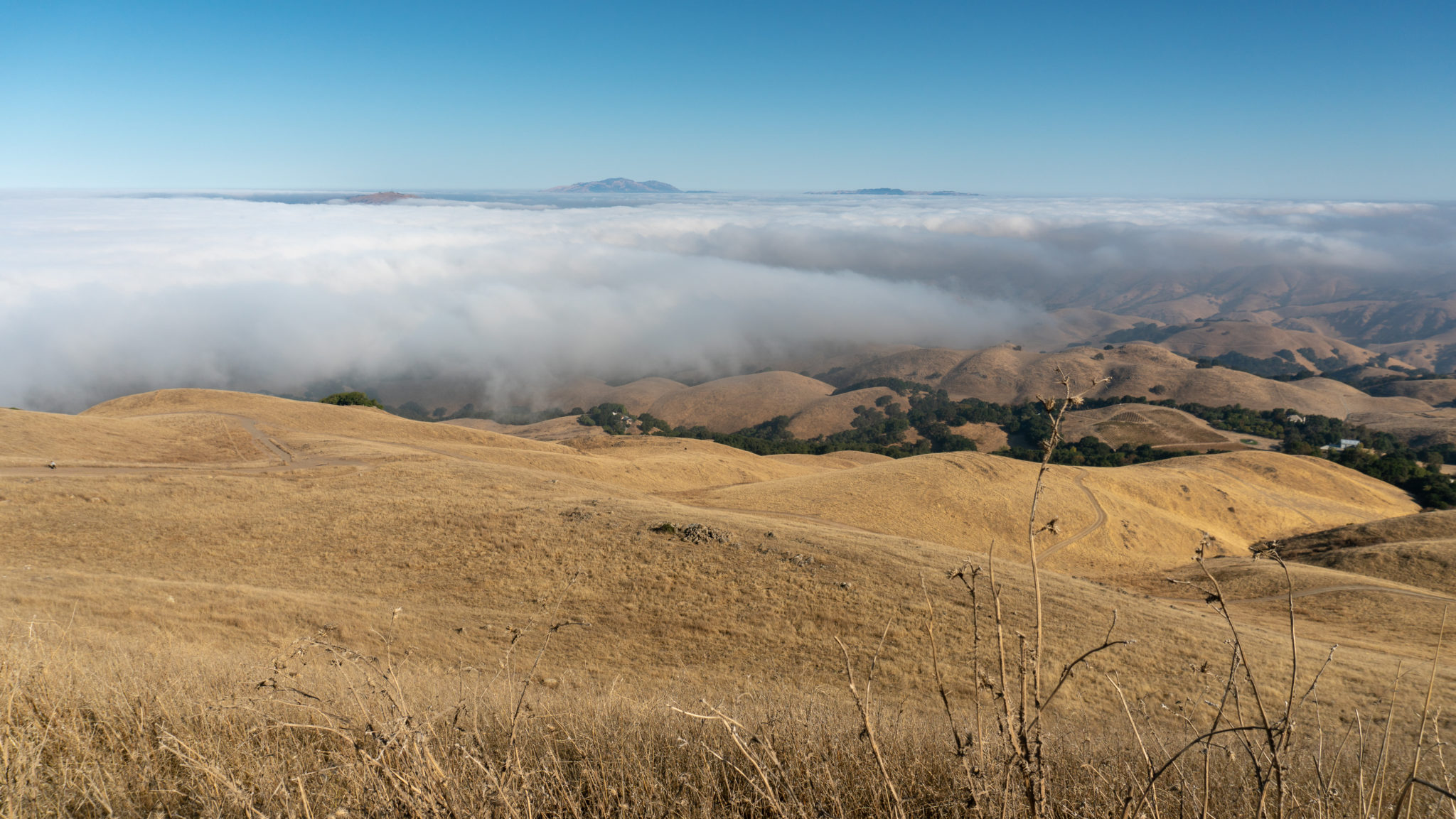
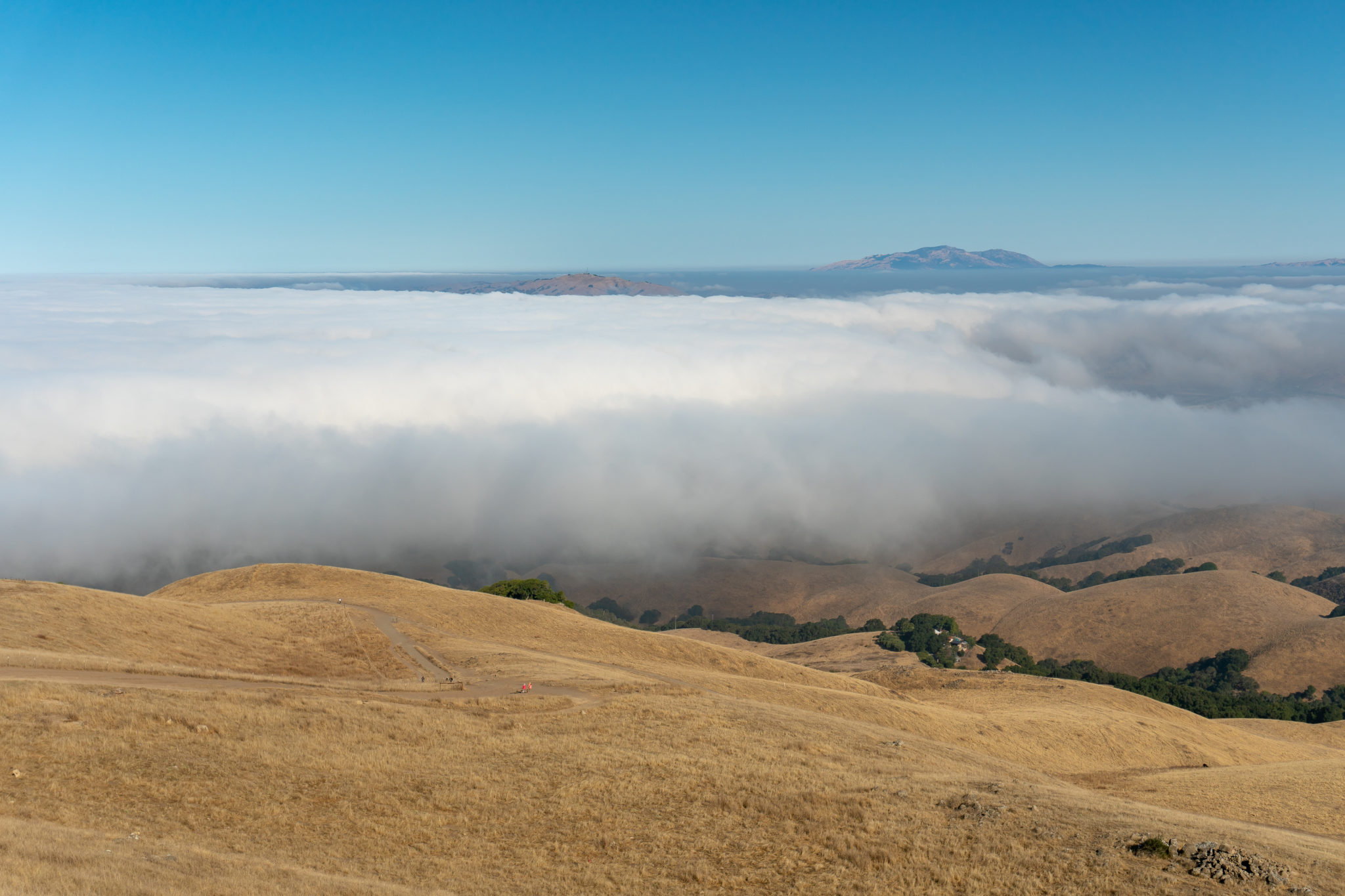
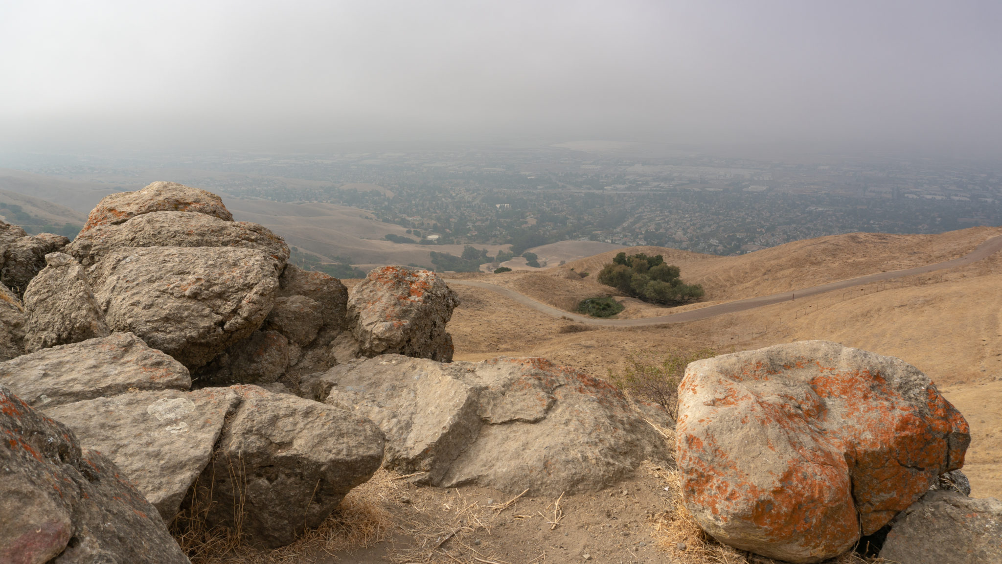
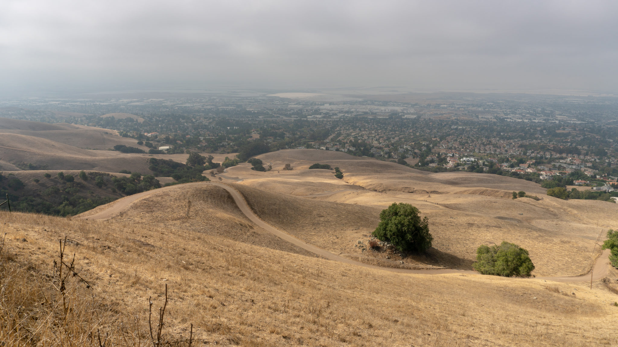
No matter where you sit, the views of the mountain, Bay, and Mission Peak Regional Preserve are sweeping. To the north, you can see Sunol Peak, Pleasanton Ridge, and Mount Diablo’s telltale double peaks, to the northwest is Mount Tamalpais, to the west is the Dumbarton Bridge and familiar ridgeline of the Santa Cruz Mountains, and to the southeast is Monument Peak and Mount Hamilton. When ready, return the way you came.

Notes:
- View a trail map, park info and more on the Mission Peak Regional Preserve site.
- Dogs are allowed on the trail.
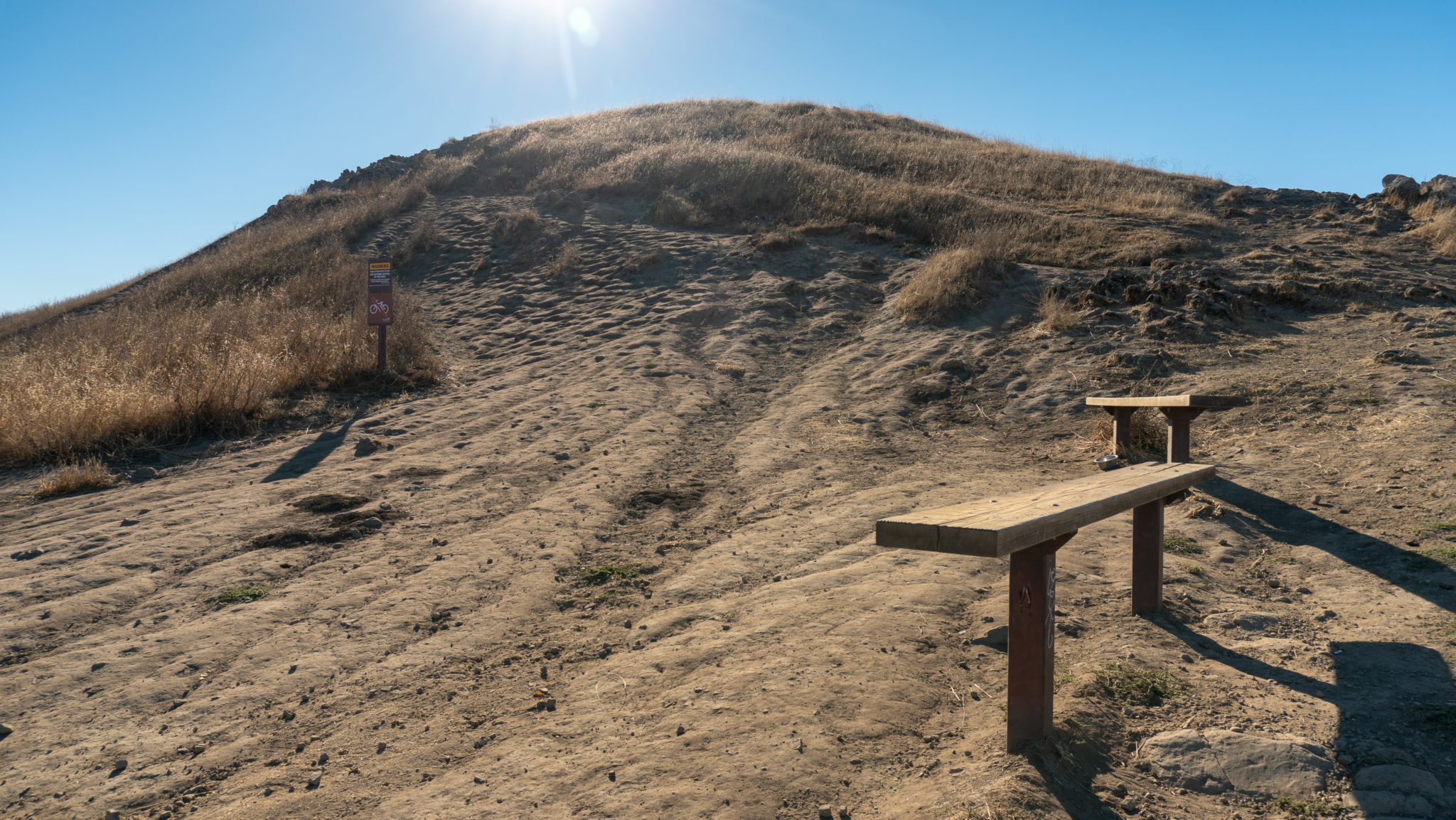
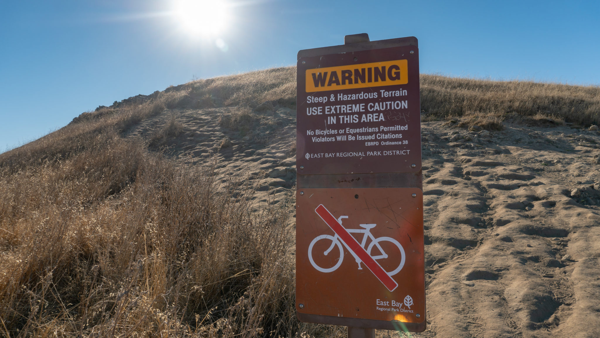
- Mountain bikers and equestrians are allowed on the route with the exception of the last 0.2 miles below the summit. Consult the trail map and park website for more information.
- There are 43 spaces at the Stanford Avenue parking lot. They fill up quickly, even on weekdays. Street parking in the surrounding neighborhood is common. Learn more on the East Bay Regional Park District’s website.
- As of November 2018, Stanford Avenue hours are 6:30 a.m.-8:00 p.m. (Dec 23-March 31) and 6:30 a.m.-9:00 p.m. (April 1-December 22).
- Try the Ohlone College route for a shadier, quieter, and less crowded route to Mission Peak. The trailhead is located here and there is a kiosk with trail maps. Parking is $4 in the Ohlone College multi-story garage, but you can also park for free on Mission Boulevard, near the intersection of Mission and Pine. It is a 0.3 mile walk to the Ohlone College trailhead from there. Trail hours are 6:00 a.m.-10:00 p.m.
- Fremont police actively monitor the trailheads and hand out citations to hikers who start too early (or stay too late) on the mountain.
Tags: bay area, east bay regional park district, Fremont, mission peak, Mission Peak Regional Preserve, Ohlone Regional Wilderness Trail, san francisco, South Bay, summit