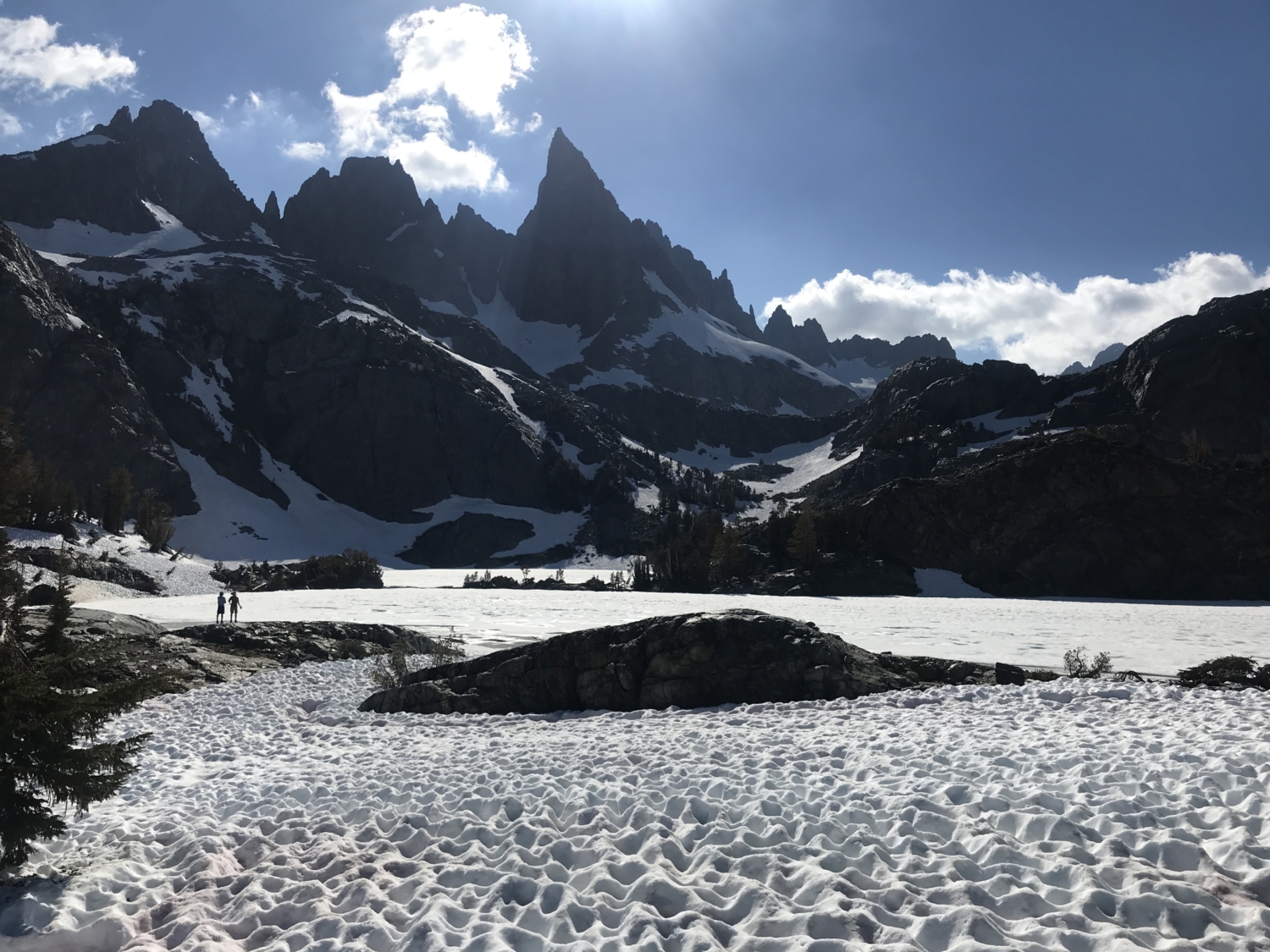
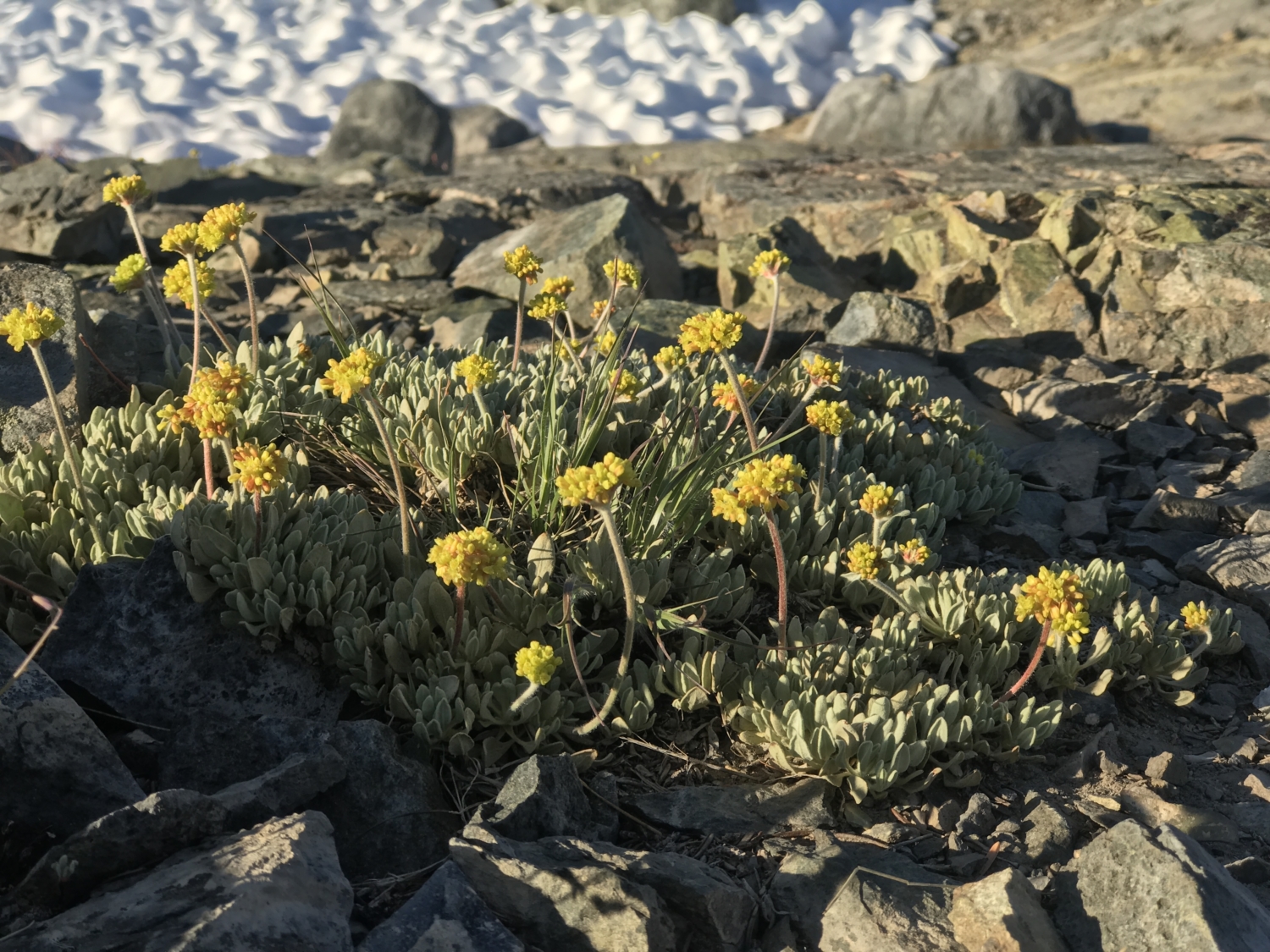
The trail up to Minaret Lake is a strenuous climb past towering waterfalls, through dense white pine forests, and around alpine meadows glistening with dew. There’s hardly a bad view for the entirety of the 7-mile (each way) trek. And, of course, the most jaw-dropping spot is the lake itself, an hourglass-shaped sapphire blotch hidden deep in the Sierra Nevada at an elevation of 9,800 feet above sea level. This is one of those rare and magical Sierra spots that’s well worth the challenging trail to get there.

Your day will likely start at the Mammoth Lakes Visitor Center, picking up an overnight wilderness permit. Online reservations may be made in advance at Recreation.gov and are required between May 1st – November 1st. From here, you’ll shimmy off to park as close as possible to the Mammoth Mountain Main Adventure Center and grab a ticket for the shuttle bus at the window right outside, near the playground. Tickets are $8 round trip for adults and $4 round trip for children aged 3-15 (as of Summer, 2019).
Quick pro tip – if you grab your permit the night before and want to start your day on the trail early, you can drive down and park at the trailhead itself before the park kiosk opens at 7am.

The shuttle ride to Devils Postpile takes about 20-30 minutes, and it meanders past some seriously epic views of the Minaret Range. Get off the bus at the Devils Postpile stop and either hang around the Ranger Station for a quick orientation and Q&A about the area, or turn left and start hiking down a relatively flat trail for towards Devils Postpile for 0.5 mile. From here, you’ll be able to see a fantastic view of one of Earth’s most striking geological features, a towering array of crumbling, 60-foot tall rectangular columns of basalt.
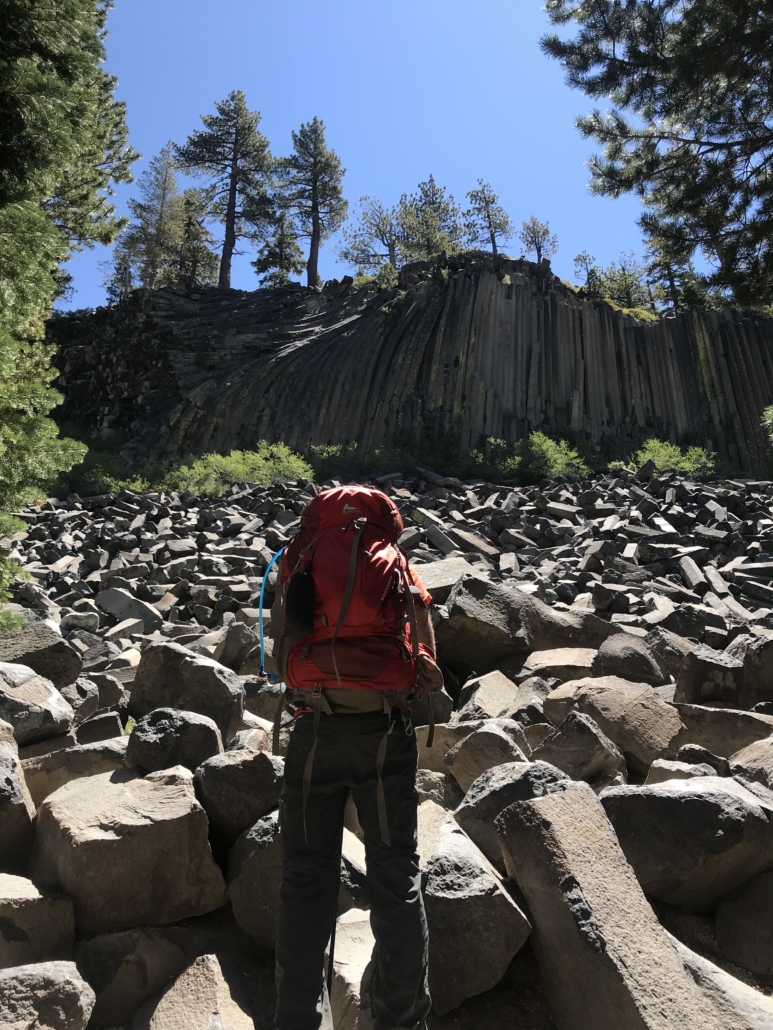
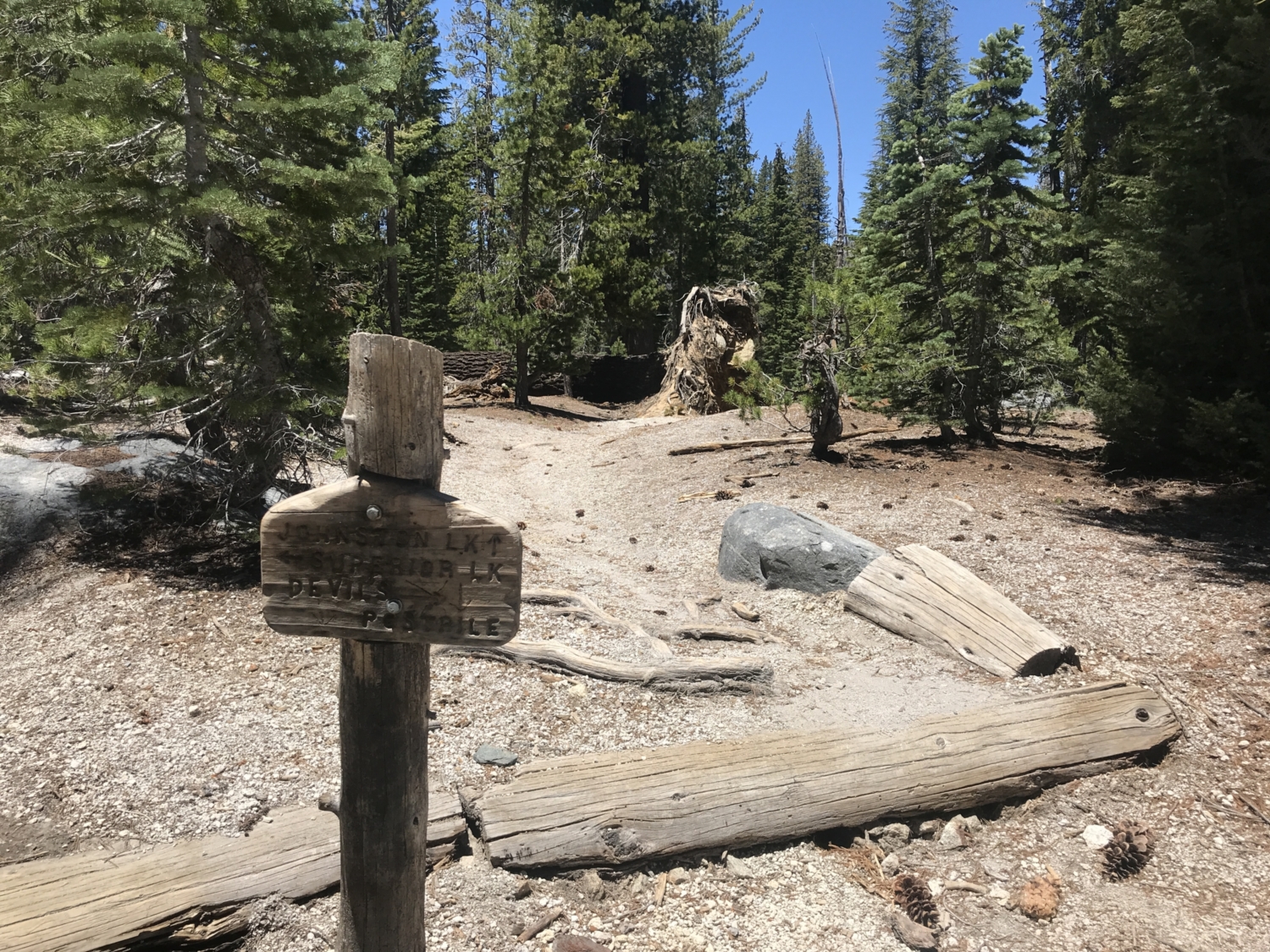
After you’ve taken a few photos of this National Monument, turn around the way you came and backtrack about 0.2 mile, turning left to cross a lovely bridge spanning the Middle Fork of the San Joaquin River. From here, the trail will begin to climb up and to the right through an alpine pine forest. It will join the John Muir Trail (JMT) in 0.5 mile and continue climbing north until the junction for Johnston Lake.

In the early season, there may be a wide (but safe) creek crossing as you near this tiny lake, so come prepared with water shoes if you have them! If nothing else, it’s a good excuse to cool down your already sweaty feet after a mile of climbing. Continue along the JMT until you hit Johnston Lake itself, which is a fantastic spot for a snack break if the mosquitoes aren’t too bad. We highly recommend bringing bug spray you trust on this trek!

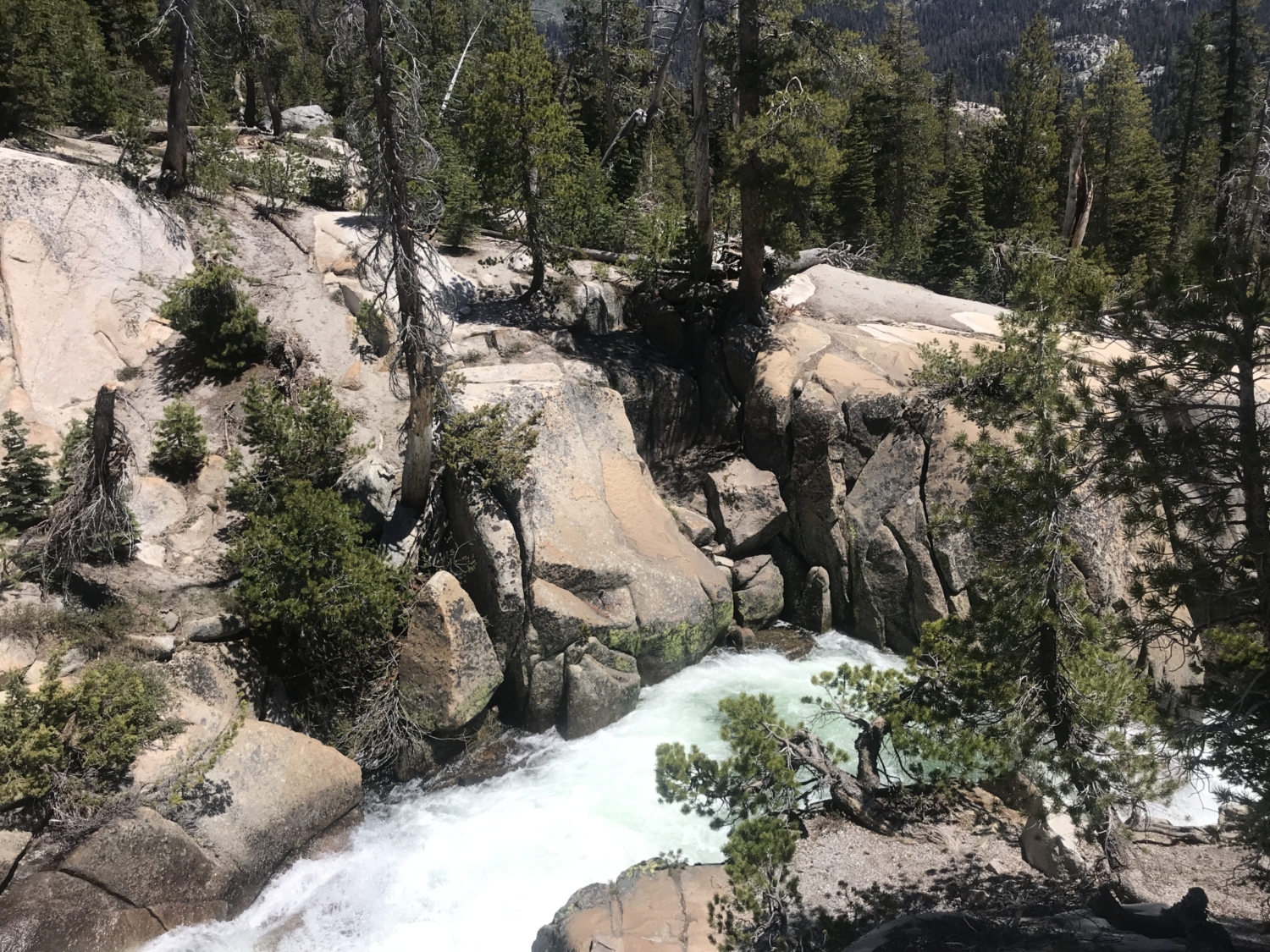
Here is where your journey along the storied JMT will come to an end, and hikers will need to turn left at the next junction to continue the climb along Minaret Creek. This section of trail surprised my partner and I with its sheer beauty; there are waterfalls galore as you continue the ascent. The best one is about 2 miles past the junction with the JMT, and the trail edges jaw-droppingly close to its roaring cascade. Be sure to turn around from time to time and gaze back at the valley you just climbed out of. The views only get better as you rise higher!
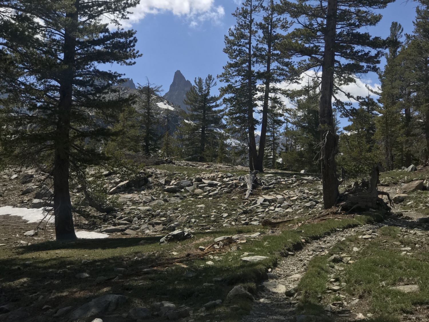
2.8 miles after Johnston Lake, There’s yet another junction that you’ll take a left at continuing on towards Minaret Lake (the right side of the junction would take you to Minaret Mine). The views in this section of the trail are spectacular – easily some of the best in the Sierra Nevada. Impossibly huge and pointed spires creep up and out of the earth in every direction as though some ancient giant constructed a cathedral of granite with Minaret Lake at its center.
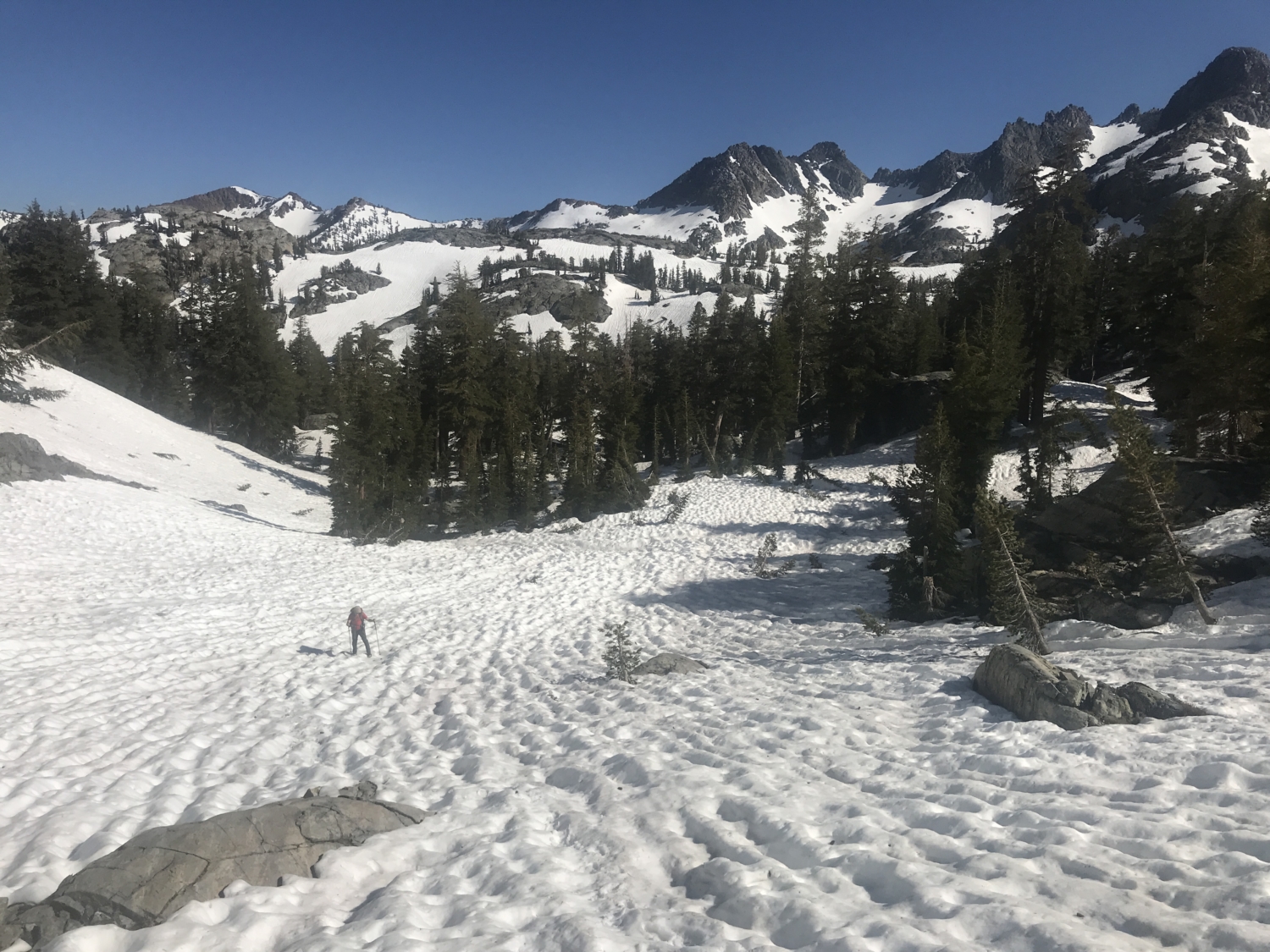
The next 2.1 miles of trail get steep, but you’ll hardly notice because the scenery is so magnificent. Enjoy the ascent, take your time, and before you know it, you’ll be at the clear, blue edge of Minaret Lake herself. Be sure to check the snowpack if you’re attempting this hike in May, June, or early July, as late season snow tends to pile up along the last 2 miles of trail. The lake often stays frozen into early July as well.

If you’re day hiking, turn around the way you came after taking a long break at this pristine alpine lake. You’ll need to catch the shuttle back to your car (last one departs at 7pm). For those lucky enough to nab a backpacking permit, look for a few epic campsites with the 360-degree views on the east side of the lake, just south of the trail. Spend the night searching the cosmos for shooting stars (we saw two!) before packing up and catching the shuttle out in the morning.

Tags: alpine lake, Ansel Adams Wilderness, Backpacking, Inyo National Forest, lakes, mammoth, Mammoth Lakes, Minaret Lakes


