Disclosure: when I was a kid, Yellowstone creeped me the eff out. While I don’t have much memory of the actual childhood visit, I have plenty of memories of a picture book that outlined the numerous highlights in the park’s magical mystery tour of geothermal oddities. I remember thinking that the hot springs were bottomless portals into hell, and I also distinctly remember thinking that the travertine terraces of Mammoth Hot Springs oozed some mysterious devil fluid over a chunk of stolen moonscape. I had a hard time looking at them, just as I had a hard time looking away from them.

Fast forward several decades, and I returned to Mammoth Hot Springs as an adult. I’d long since lost that side of my imagination that projected fear onto nature’s pageant of the bizarre. I arrived at the springs with a writer’s quest for understanding, a photographer’s desire to capture beauty, and a hiker’s lust for adventure. And full disclosure, the Mammoth Hot Springs still kind of creep me out.

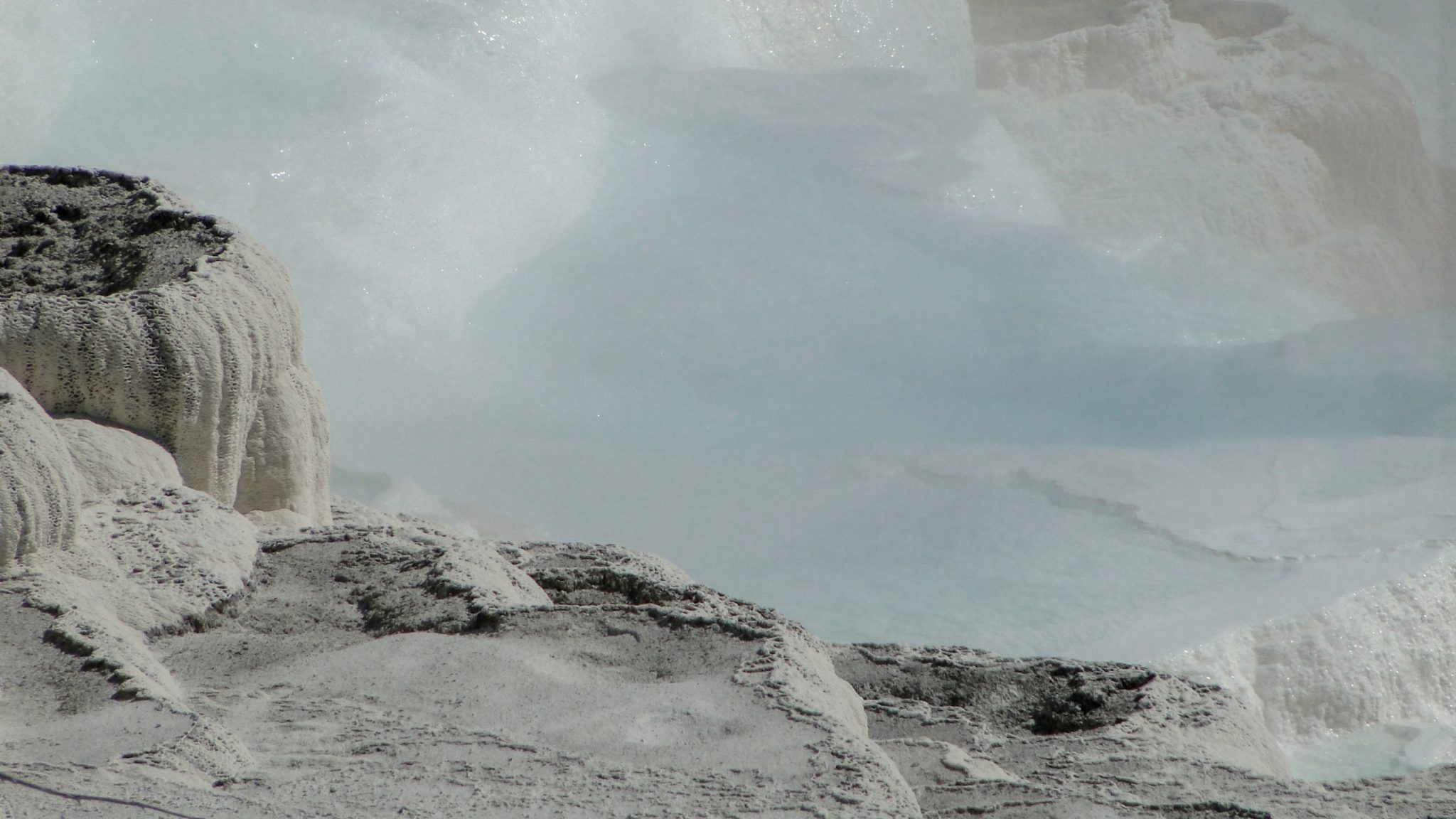
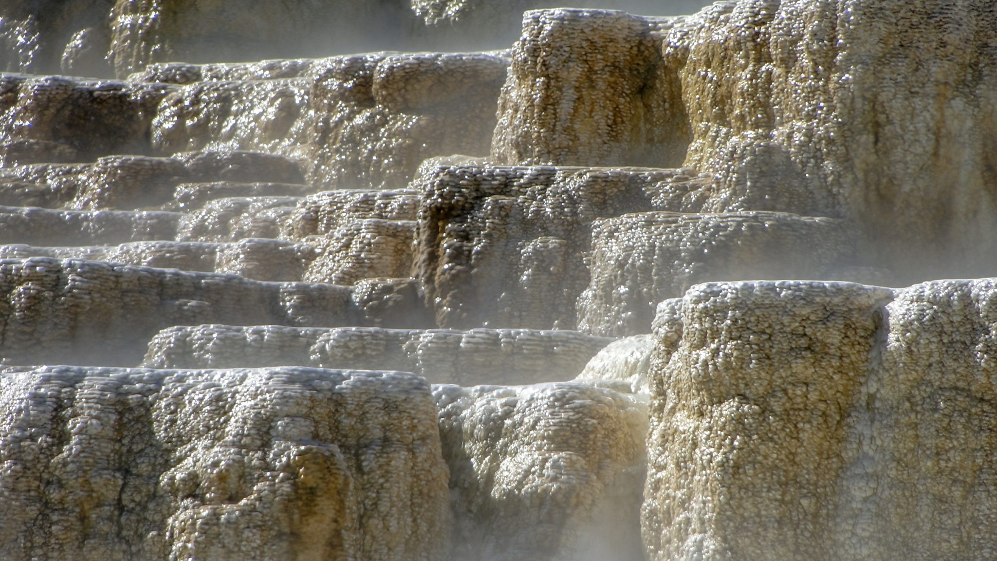
However, they creep me out in a good way. I understand what they are now, and no they aren’t a fountain of devil’s bile leaking onto a dead, poisoned cliff-side. The theory goes that the source of the water comes from the nearby Norris Geyser Basin. Since the hot springs lie outside of the Yellowstone Caldera, the theory posits that heated water from the Norris area travels north through a system of channels and fissures until it rises up to the surface at Mammoth. The heated water dissolves limestone below the surface, and when it spills forth, it deposits some of that dissolved calcium carbonate in an intricate formation of terraces and stalactites, creating a rock called travertine. Over time, the travertine terraces have built up into massive formations laced with hot springs. The colors, which probably freaked me out the most, stem from the algae and microbes that thrive in the heated water. The results are at the same time grotesque and beautiful.

Hikers can explore the terraces at Mammoth Hot Springs by way of a network of boardwalk trails that encircle the Main Terrace and the Minerva Terrace. Separate spur trails visit offshoot terraces and springs away from the main terraces, and a road encircles the Upper Terraces. This route covers an out-and-back climb that loops around the Main Terrace and visits some of the weirder and more picturesque features of the hot springs, including the Jupiter and Mound Terraces, the New Blue Spring, Angel Terrace, Trail Spring, Canary Spring, and Dryad Spring. Several short spurs lead to overlooking platforms that give you a good vantage point of the springs.

The biggest caution for this route involves staying on the boardwalk. The geologic features here are very fragile, and since there’s a lot of super-heated water flowing under the surface, a step off of the boardwalk onto fragile earth could lead to severe injuries and possibly even death. Equally as important, the habitat itself does not recover from human trampling, and a few off-trail excursions can irreparably damage sensitive features.

From the southernmost parking area, head northwest on the boardwalk. Almost immediately, you’ll reach a junction with a connecting trail that leads to Minerva Terrace and a parking area just to the north. Keep left here to commence a brisk climb around the base of a brilliant white travertine cliff that looks an awful lot like the moon. After 0.2 mile of skirting the base of this moon-like cliff-side, keep left at another junction with the Minerva Terrace loop. Note that you can include the Minerva Terrace in your hike on the way in or way out. It adds a mere 0.2 mile of hiking and a marginal amount of elevation gain.

Just past the second Minerva Terrace junction, the boardwalk crosses over the Mound and Jupiter Terraces. Active springs continue to build these terraces, leaving a patina of orange algae behind. The color, steam, and trickle of water accompany all of the active springs in the area, but you’ll also notice a number of similar formations scattered around the main terrace as you progress. Water flow from various springs is constantly changing, and occasionally a reliable spring will dry up, only to be replaced by a new one elsewhere. In some instances, this variability can be a daily occurrence, although most of the features described here have been reliable for some time.

After the Jupiter and Mound Terraces, the boardwalk continues to climb as it arcs counterclockwise around the main terrace. At 0.4 mile, the climbing ceases at a short spur leading to an overlook for the New Blue Spring. This recent hydrologic addition to the main terrace has a milky blue center. Now that you’ve reached higher ground, you can also enjoy some views over the region, including views directly across the village of Mammoth and the Gardiner River Valley toward the higher peaks of Gallatin National Forest to the north.

Continuing from New Blue Spring, the trail continues to arc to the south and southeast while passing a parking area accessible via the looping road that encircles the Upper Terraces. From here, you can look across Angel Terrace, a rugged flat atop the main terrace that no longer has much water flow, but does add some skeletal trees for surreal scenic interest.

At 0.6 mile, the trail reaches the final overlooks that take in the impressive and massive terraces fed by Canary Spring just to the north of the trail. The slightly less dramatic Dryad Spring, which looks a lot like an infinity pool, lies to the south. The trail ends just beyond both springs, from which point you can enjoy great views to the east and southeast.
Tags: Angel Terrace, Canary Spring, Dryad Spring, Gardiner River, Jupiter and Mound Terraces, Mammoth Hot Springs, Minerva Terrace, the New Blue Spring, Trail Spring, yellowstone national park


