The long, broad face of Liebre Mountain sits near the northern corner of the Angeles National Forest and the County of Los Angeles. Despite its remote location for most L.A. hikers, Liebre is still worth the drive. It’s in the interesting geologic region where the Sierra Pelona, Tehachapis, and Ventura / Coast Ranges all sort of mash into each other with the San Andreas Rift Zone just to the north. Hikers who trek this route will delight in the region’s remoteness, it’s surprisingly stunning oak and pine groves, and the chance to encounter that rare species of sentient walking and eating machines — the Pacific Crest Trail Thru-hiker.
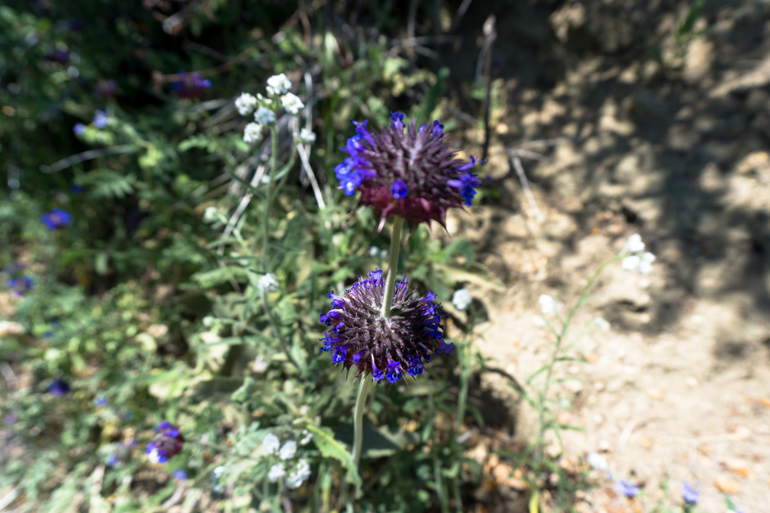
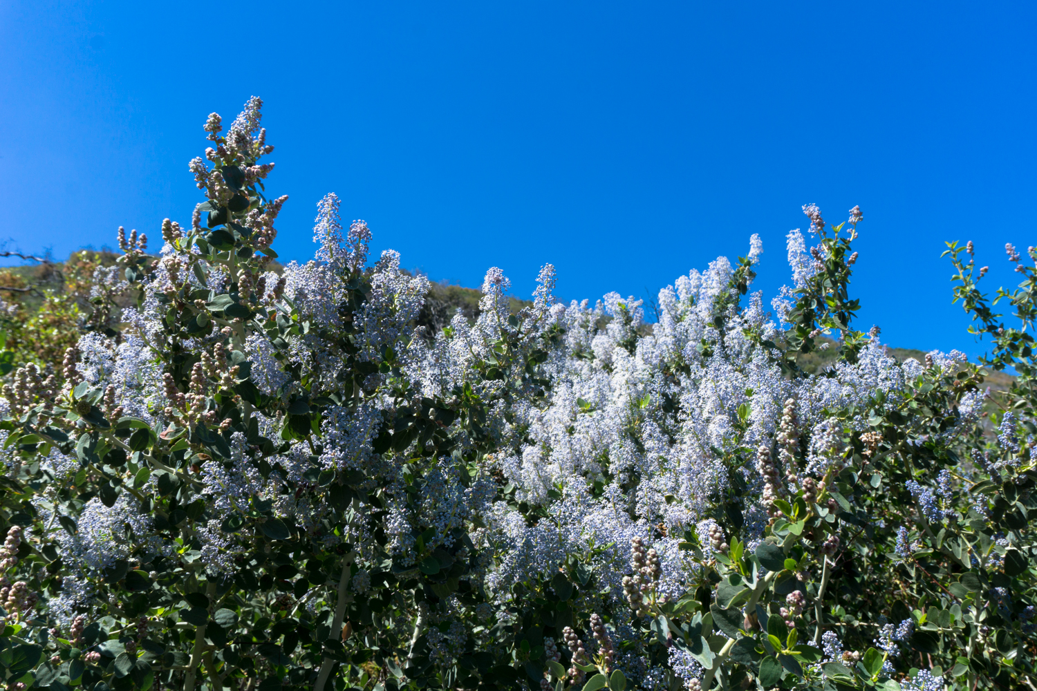
Although you can hike this route pretty much all year round, mid/late spring is really the best time if you can manage it. The hills will still be green, the California black oaks will be waking up from their winter slumber, and ceanothus bushes will blanket the trail in showy, fragrant blooms of white and violet while smaller wildflowers like chia, lupines, and scarlet buglers provide some lower-to-the-ground color.

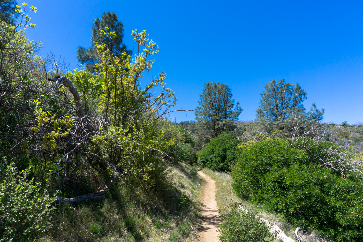
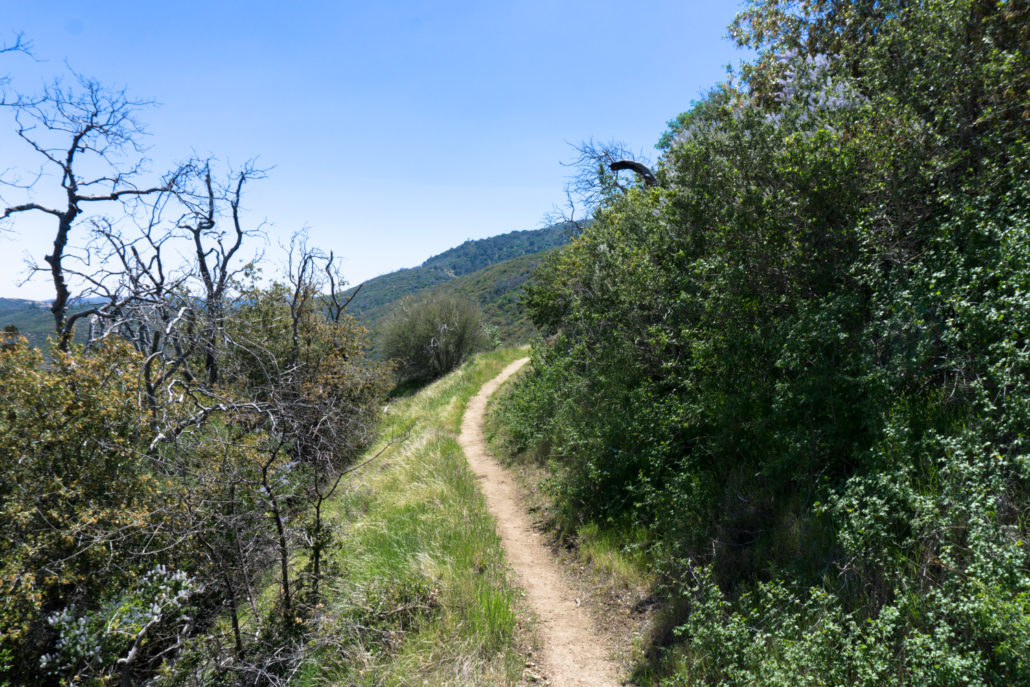
Ceanothus on the trail
This time of year is also when you’re most likely to encounter PCT thru-hikers en route to the Sierra Nevada. Although timing does vary from year to year due to conditions, you can expect most of the year’s class to hit this spot in early to mid May. When I hiked this trail in late April, the thru-hikers I chatted with said they all got a bit of an early start and were more at the vanguard of that year’s cohort (hi, Wallet!).
But first thing’s first — the trailhead.
This can be a bit of a tricky one to spot from the road — and when I hiked this trail I missed it and added 2 miles roundtrip to the route. The extra mileage is fine, but it’s close to the road and not much different from what you’ll see on the rest of the route. To avoid that you’ll want to pay extra special attention when you pass Mile Marker 13.6 heading east on Pine Canyon Road. Slow down a bit, and as the road reaches a crest, look to the right side for a small dirt road heading south — that’s the trailhead you’ll want to hit.
If you miss that turn like I did, the road continues on for about a mile, where it reaches a very clear and distinct intersection with the PCT near some large oak trees. To the north, the PCT runs into private land on a hunting club (you’ll see a prominent sign about making sure to not wander off the trail here), and to the south it heads back toward the Angeles National Forest. If you end up parking here, it’s not the end of the world (just, as I said, an extra 2 miles on your boots) — or it’s a good sign to backtrack to look for the ‘proper’ trailhead.

This is what you’ll see on the side of the road if you’ve missed the proper trailhead
Beginning from the small dirt lot at the trailhead (which is sometimes inaccurately labeled Horse Trail Campground on maps), keep to the west (right) to start climbing up the PCT. If you find yourself descending, you’re heading the wrong way.
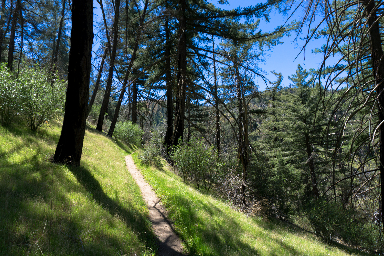
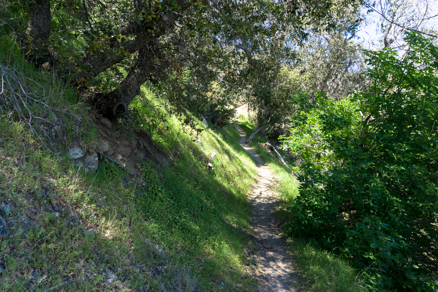
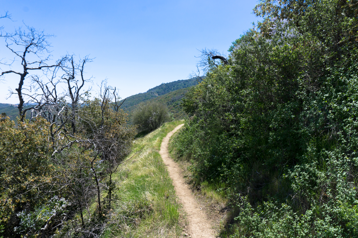
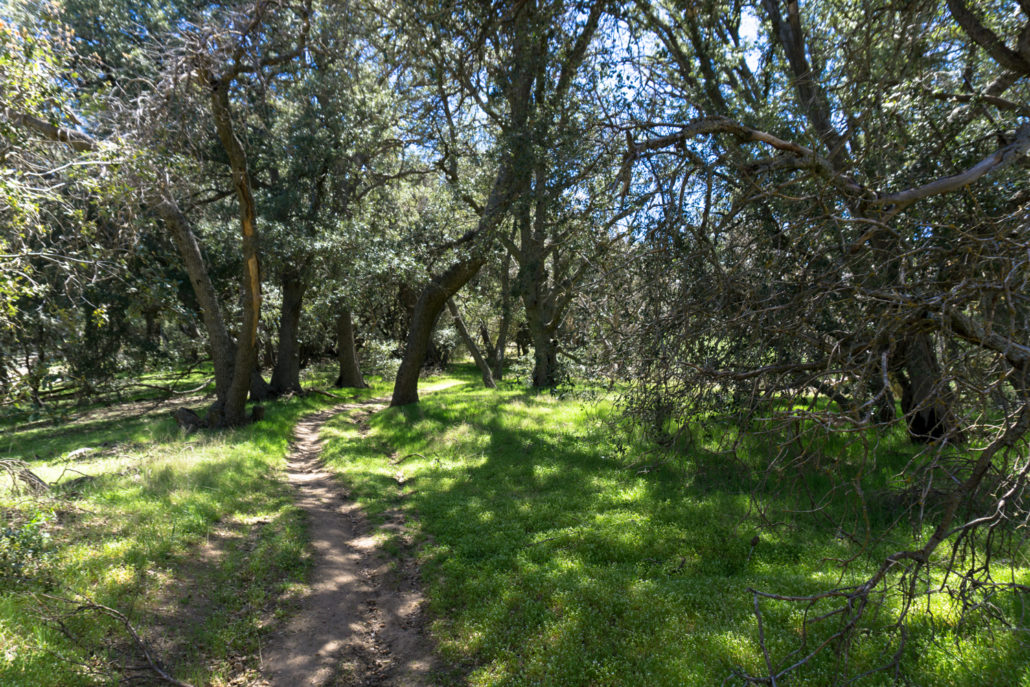
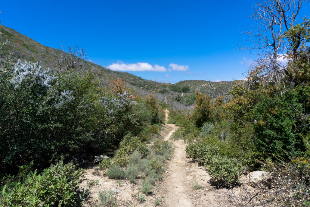 The trail makes a series of tight switchbacks as it meanders its way south, slowly climbing up Liebre Mountain. If you’re into native plant communities, you’re going to really enjoy this route — here, you start off in some dry sage scrub, with plenty of ceanothus, scrub oak, and yerba santa along the trail. As the trail climbs, you’ll see just how close you are to the semi-arid flatlands of the Antelope Valley, too — which gives you lots of appreciation for the relatively lush terrain you’re hiking in.

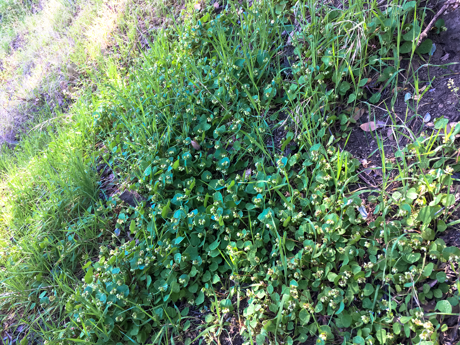
A nice patch of miners’ lettuce growing in the shade of an oak tree
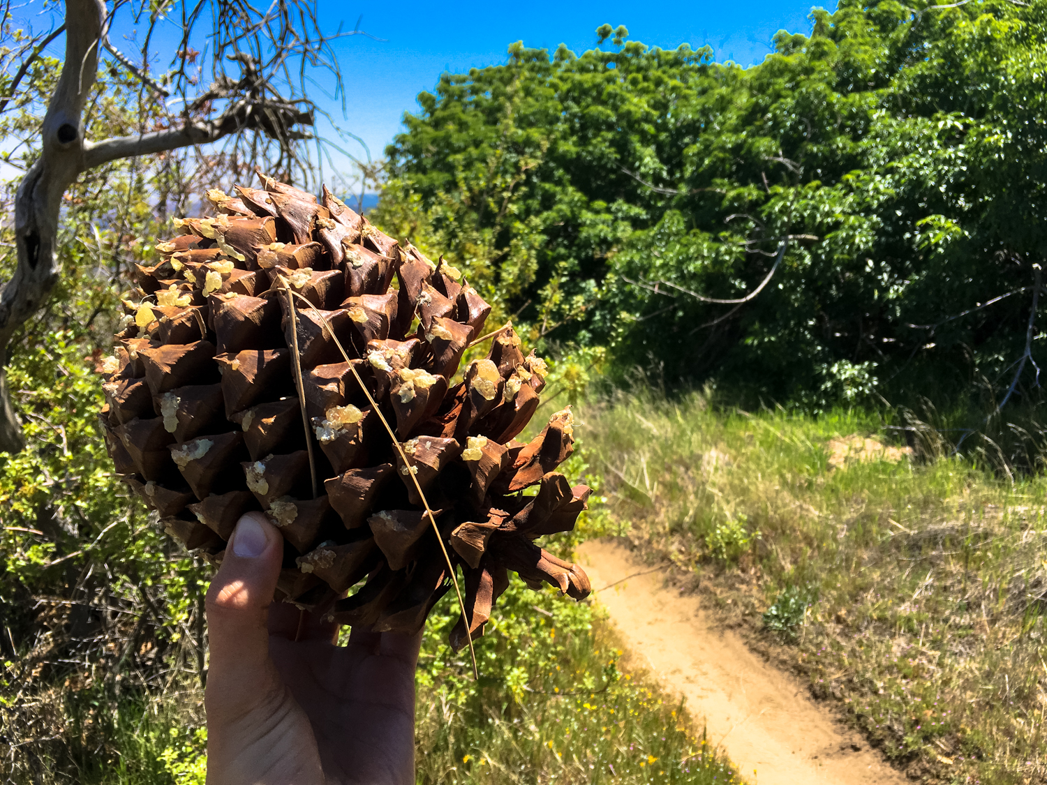
By the 1.4 mile mark, you’ll start to notice the lower scrub oaks giving way to young, then mature and surprisingly tall pine trees — and you’ll likely notice some enormous pine cones laying around, too.

A huge pinecone from the Grey or California foothill pine (Pinus sabiniana), second in size only to the Coulter pine
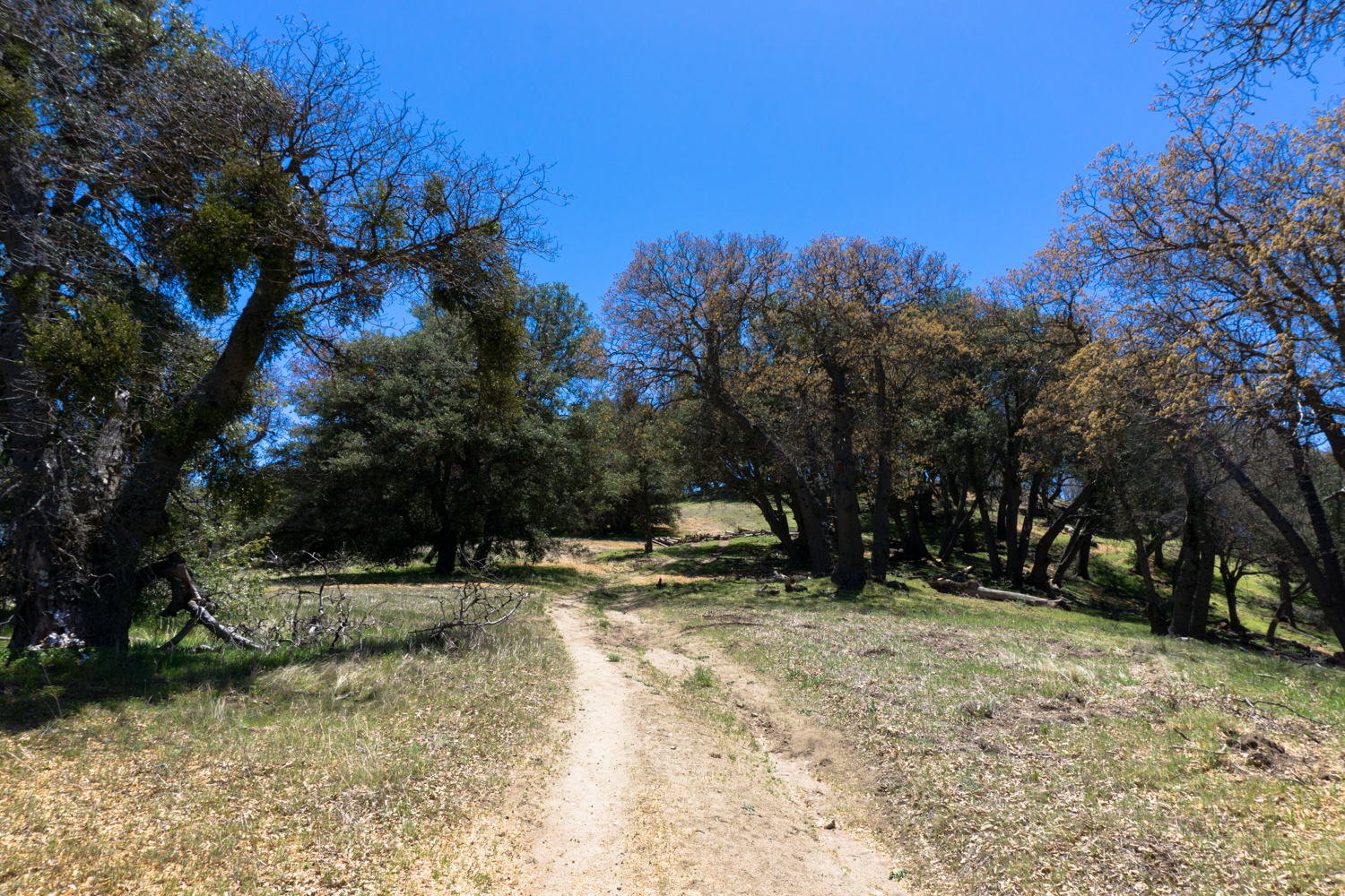
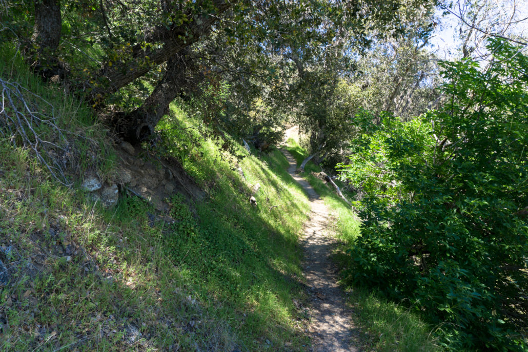
As you continue climbing upward, you’ll leave the scrub oak and enter a small pine grove, where Grey (aka California foothill) pines and Bigcone Douglas firs tower over the trail and nearby Horse Trail Camp, with the occasional desert pinyon and junipers mixed in for good measure. It looks like a few fires have swept through this area and felled some of the older trees, but newer saplings are rising up slowly to take their place.
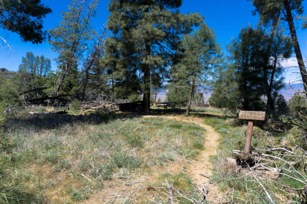
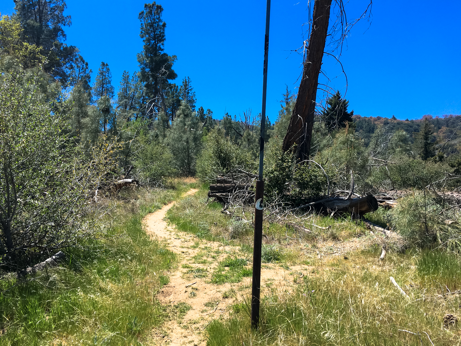
At 1.8 miles, a large metal pole in the ground marks a short spur to Horse Trail Camp (a holdover from the trail’s pre-PCT name “Horse Trail”). You can spend the night at Horse Trail Camp if you’d like. However, especially during peak PCT hiker season, I’d strongly encourage you to keep trekking or take your backpacking plans elsewhere — this is the last legal campsite thru-hikers have for nearly 27 miles and right before one of the most maligned sections of the Trail. A spring is located near a canyon floor to the west, but don’t count on it during the warmer months.
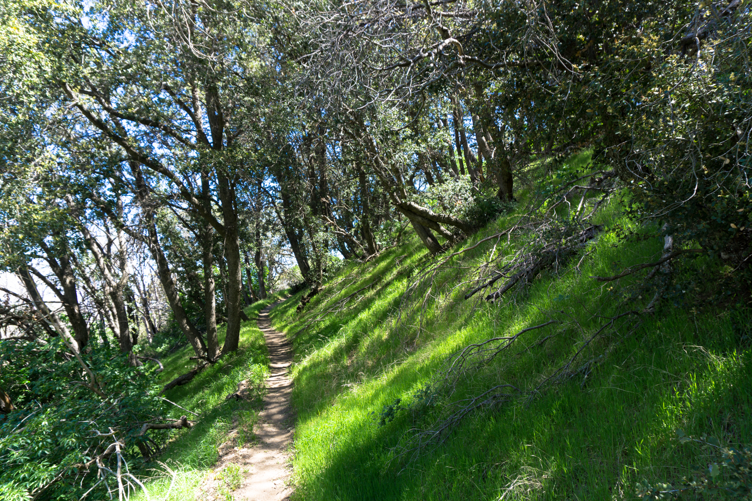
Take a quick break at the picnic table here and enjoy the shade or just keep on trekking south, where the trail makes its way through some of the most beautiful sections of forested groves I have ever had the pleasure of encountering in Southern California.

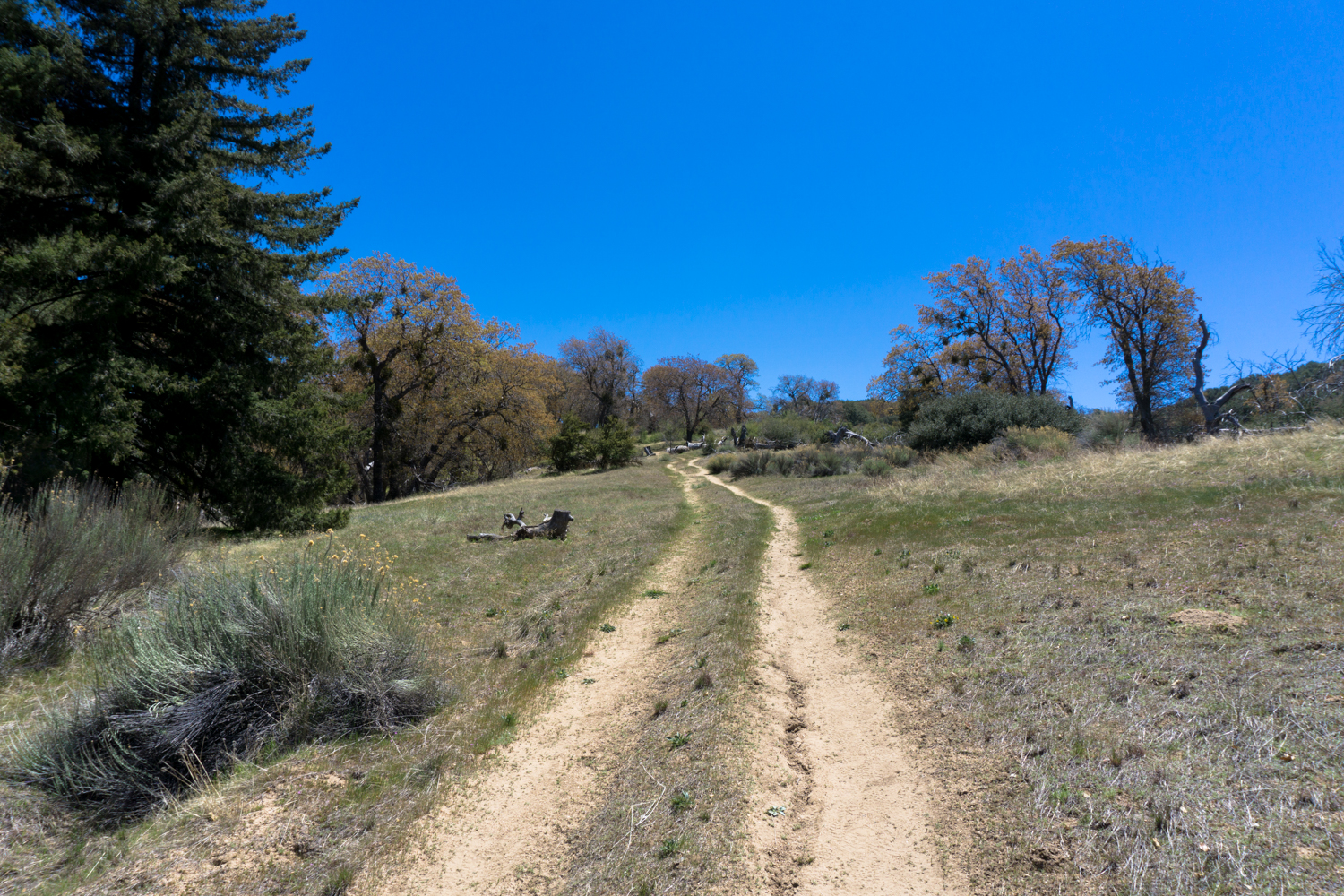
Although you would generally expect to find pine trees at higher elevations, these conifers are hanging out just below 5000 feet. Interestingly, as you continue climbing up, the pines give way back to oak trees — probably because the pines here are in a relatively shaded section of north-facing slope that stays a bit cooler than the more exposed terrain above it.
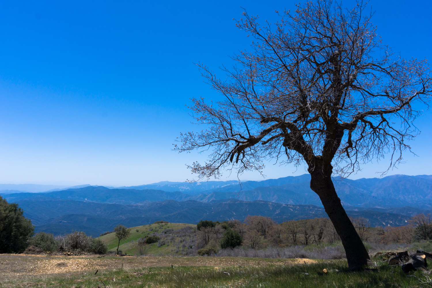
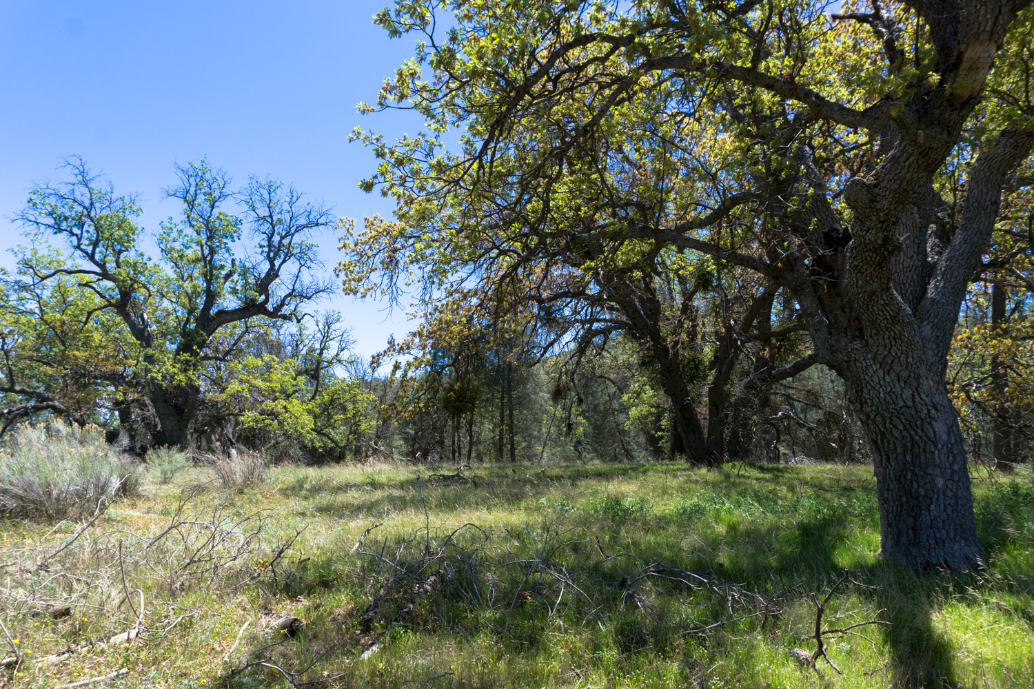
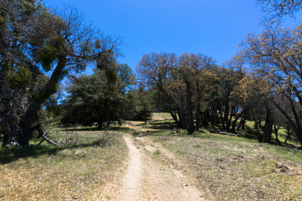
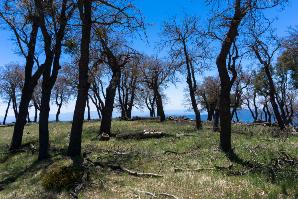
After one more sharp switchback at 2.2 miles, the trail broadens out a bit and becomes more of a fire road as it climbs up through a stunning oak savanna filled with fascinating black oak trees.

Deciduous California black oaks lose all their leaves in the fall, and in the spring they sprout tiny, reddish leaflets with rope-like blooms.
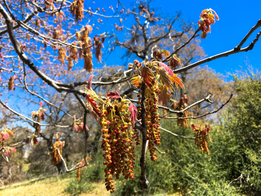
California black oak in the spring
Later on, the leaves turn green and the tree’s abundant, large acorns start to drop. This tree grows over most of present-day California, and was regularly regarded by the Native Americans as having some of the best acorns for food and flour.
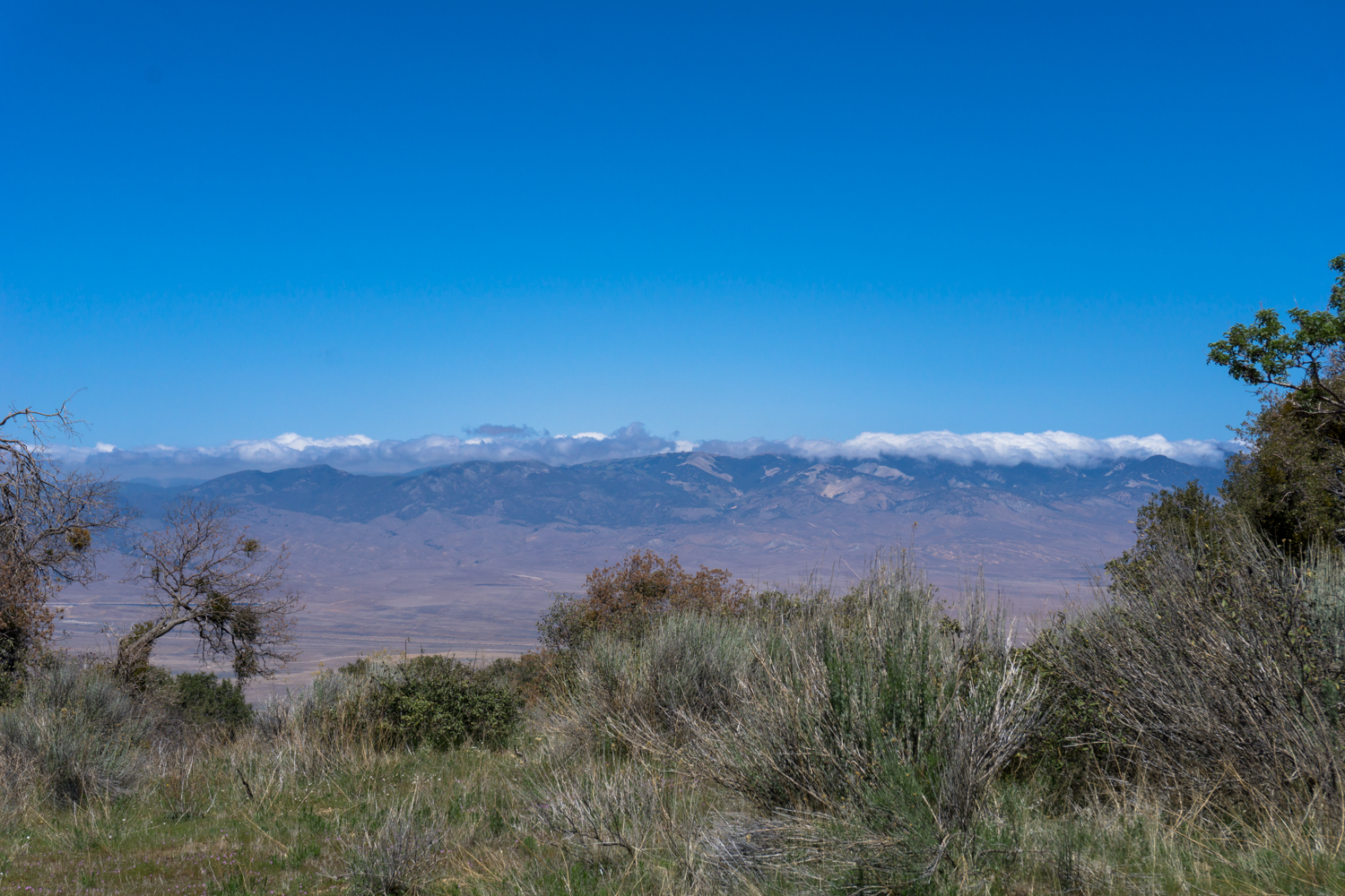
Keep up the steady climb and make sure to turn around to see the Tehachapis and Antelope Valley broadening in view to the north as you do.

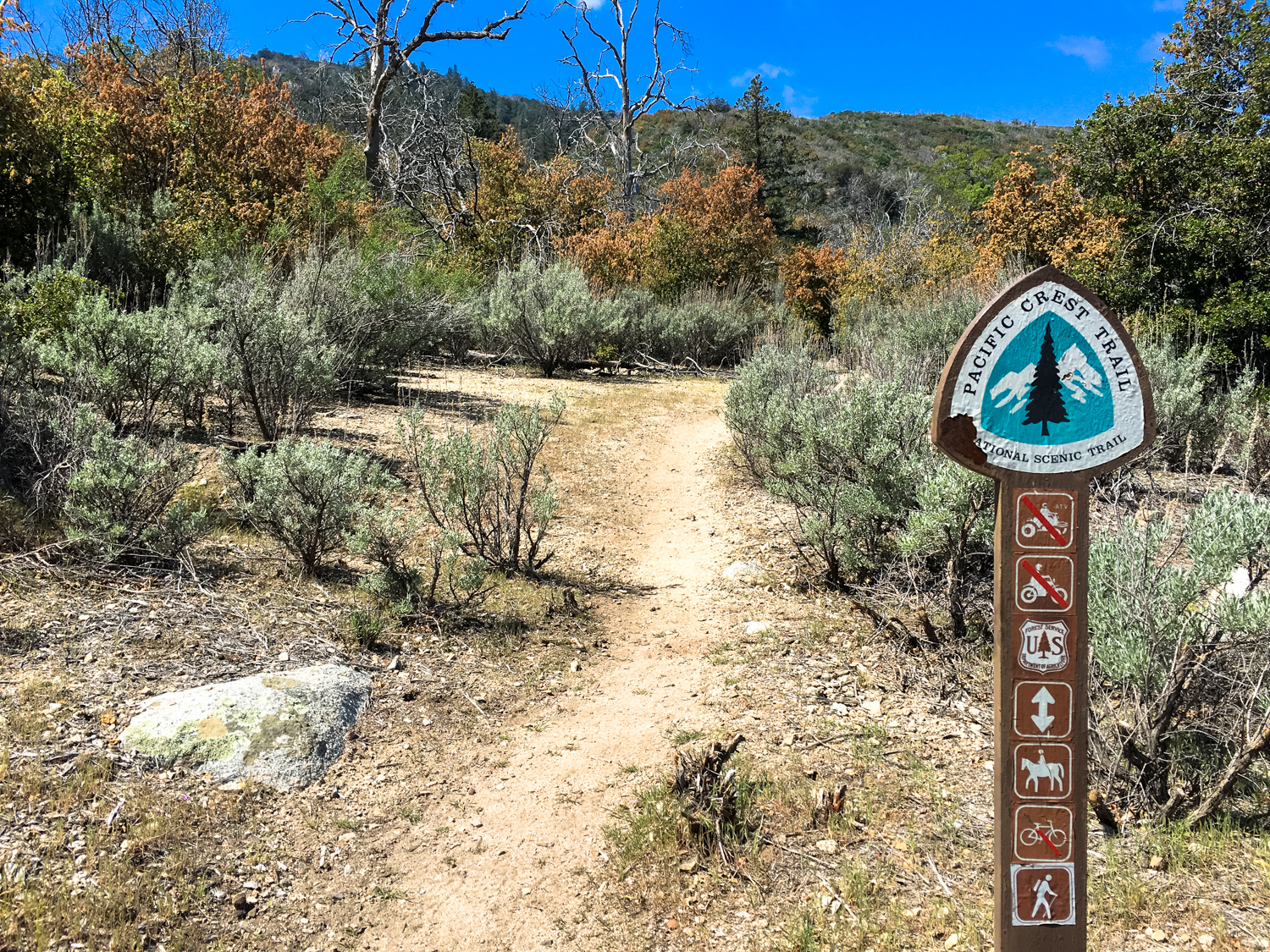
Rabbitbrush and common sagebrush fill in the ground where oaks don’t cast too heavy a shadow, and the trail keeps climbing until the PCT heads to the east at 3.4 miles. Continue south on the fire road for spectacular views as well as the high point of the Liebre Mountain Ridge.
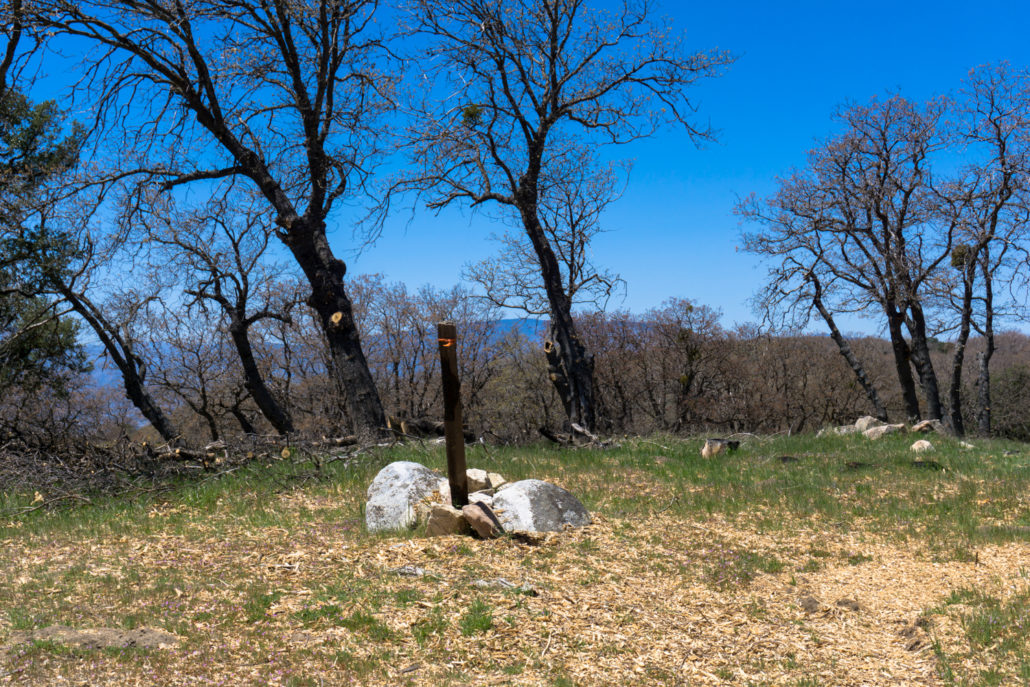
the high point and summit register
You’ll have to leave the road and hike a very short distance off-trail to the high point, marked by a small pile of boulders and a wooden stake. Conjoined metal cans hide a well-worn register.
Although the USGS marker for Liebre Mountain lies on a fire road to the west of here, this inconspicuous spot tucked away in a sizable oak grove is actually the highest point on the mountain. Go figure.
When you’re done signing your name, be sure to take a short side trip south through the oak grove for some remarkable views of the interior of the Sierra Pelona. On clear days, you may also be able to make out the San Gabriels to the southeast, and you should almost always be able to gaze into the rugged and imposing terrain of the Sespe Wilderness to the southwest.

Return back the way you came, and if you have any extra unused water leftover, look for water caches for the thru-hikers near your trailhead. They’ll appreciate it as their next leg of the trail crosses the inhospitable floor of the Antelope Valley and the western edge of the Mojave Desert.
Tags: Horse Trail, Horse Trail Camp, Liebre Mountain, Pacific Crest Trail, PCT, Sierra Pelona