The trail to Lamarck Lakes has it all: Jagged Sierra high country? Check. Sparkling alpine lakes? Check. Groves of quaking aspen that turn brilliantly warm during late September and early October. Check. Gorgeous trail that’s not too hard and not too easy? Check. Great backcountry camping? Check. Classic Eastern Sierra views? Check. Check, check, and more check.

I’m having a hard time hemming in my enthusiasm for the trail to the Lamarck Lakes. I hiked it in October 2017 at the full peak of fall color. It was a perfect hike through perfect scenery in perfect weather conditions on a perfect day, so you will have to forgive me if I dip into a bit of hyperbole. Of course, if you were to reach into a bowl and pull out a trail name for any of the routes in Bishop Creek Canyon, including Treasure Lakes, Long Lake, and Blue Lake, you would walk away feeling like you won. But please allow me to make the case that the Lamarck Lakes are the best of the bunch where day hiking is concerned.

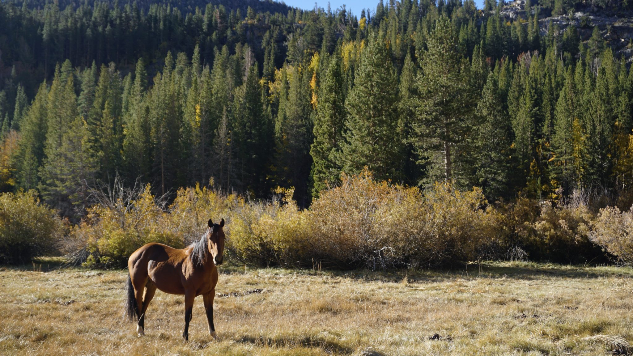
The route begins on a not too inspiring note as you have to walk 0.5 mile from the parking area on the west end of North Lake through the North Lake Campground to reach the trailhead. Note that all distances in this write-up are reckoned from the parking area, not the official trailhead. Of course, North Lake itself is a great fall color destination, and the color along the lake’s inlet and the stables for the pack station have plenty of great color and scenery. After passing through the campground, keep your eyes peeled for the combined Piute Pass/Lamarck Lakes Trail, which you will join for a short combined stretch through dense forest along the banks of North Fork Bishop Creek.
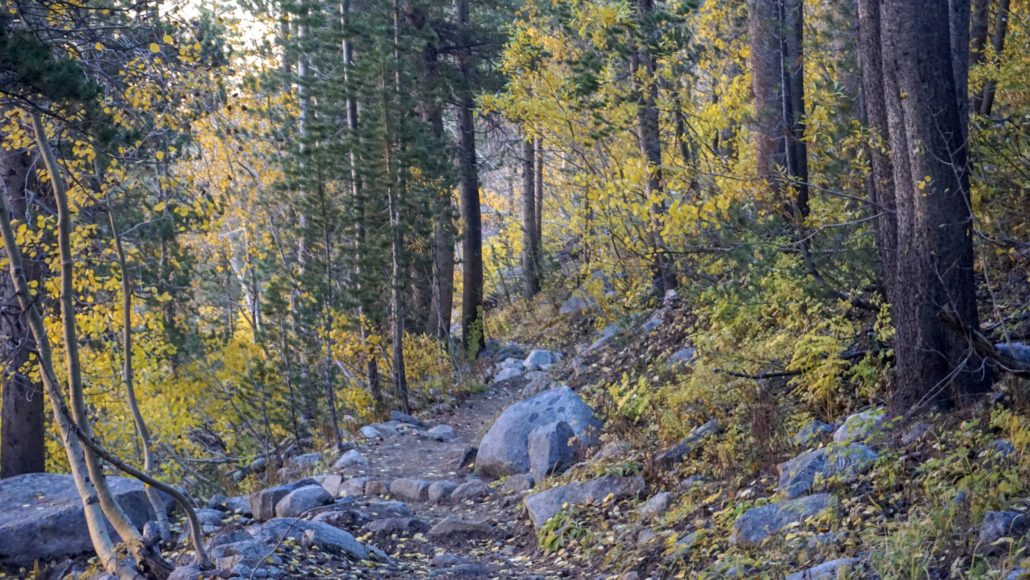
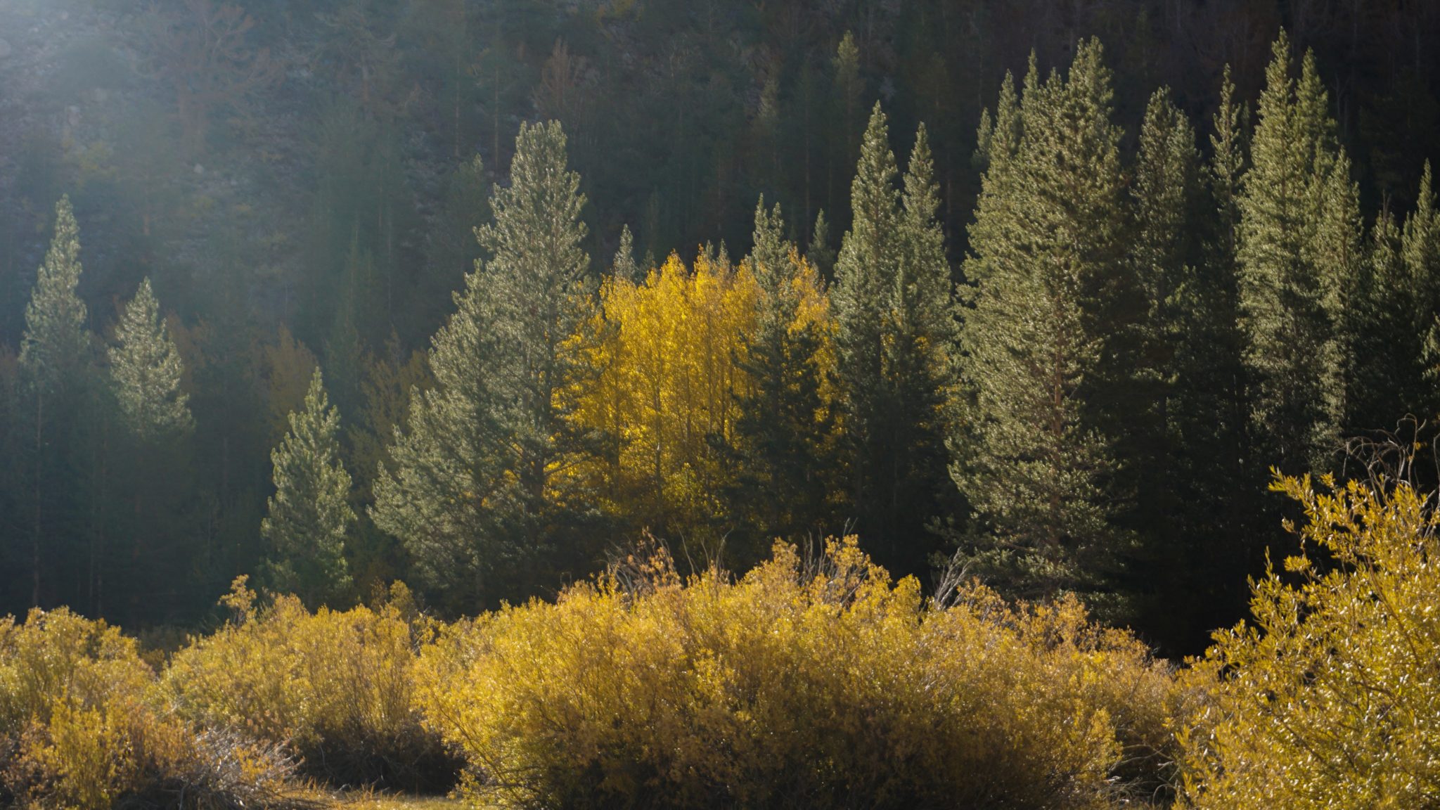
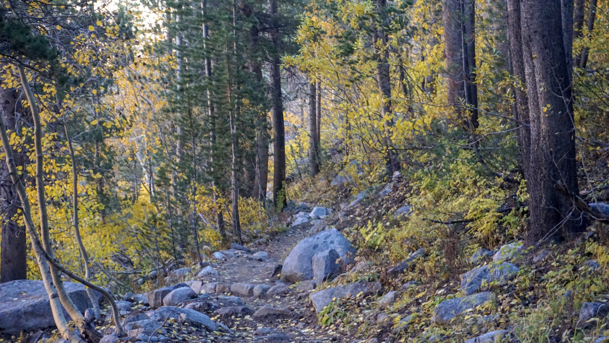
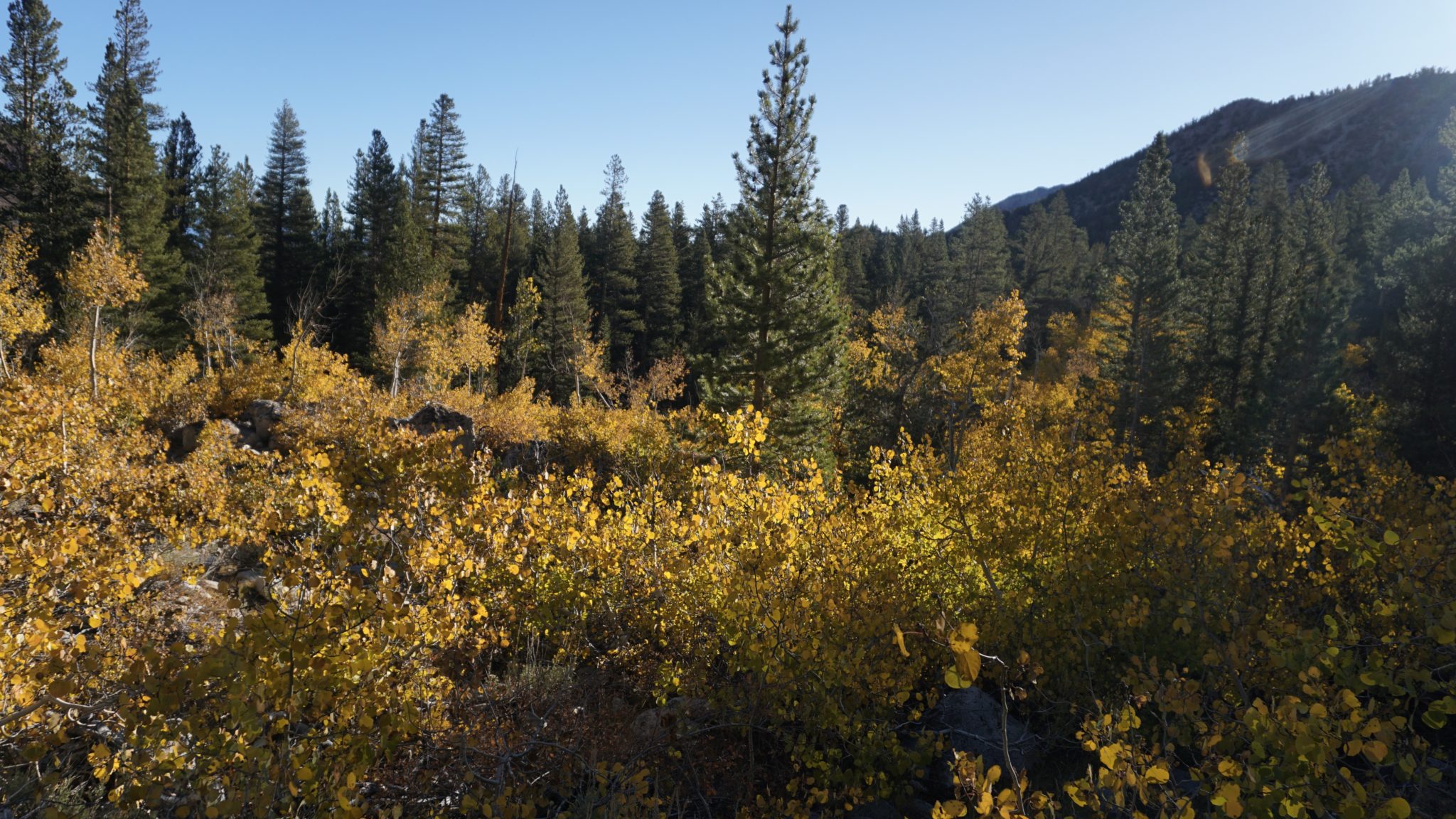
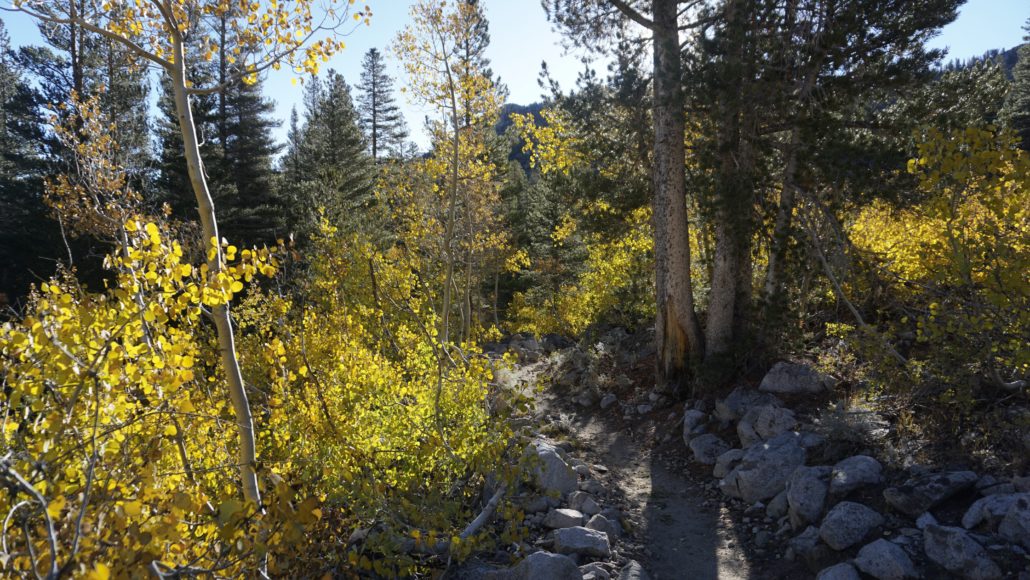
At 0.65, the Lamarck Lakes Trail will diverge from the Piute Pass Trail and then turn to the south. The trail begins to pick up elevation, switchbacking through dense pine forest seasoned with a generous amount of quaking aspen groves. During fall, you will climb through several corridors of golden, shimmering leaves which will take your mind off of the moderate climb beginning from a relatively high altitude (9,300 feet).
Climbing continues in this fashion until the 1.4 mile mark where the Lamarck Lakes Trail’s grade evens out before reaching a junction with a spur trail leading south to Grass Lake. The 0.2 mile spur trail is a worthy diversion if you have the time and energy, and Grass Lake is an interesting variation on the usual Eastern Sierra lake formula. The banks are quite marshy and grassy, as opposed to the usual austere glacial bowl and jagged summits.
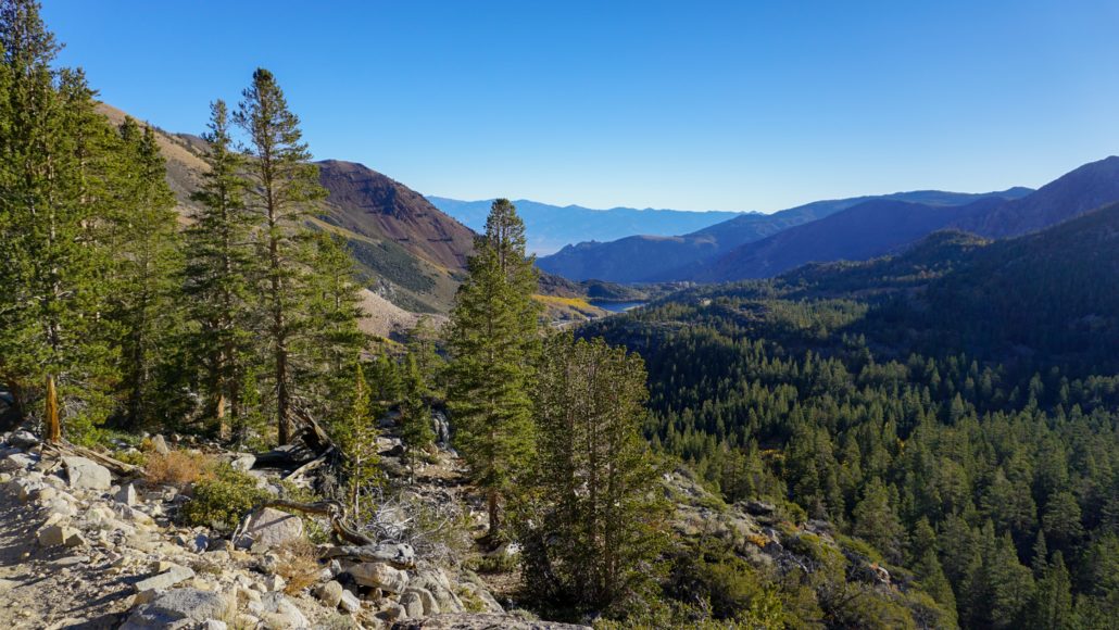
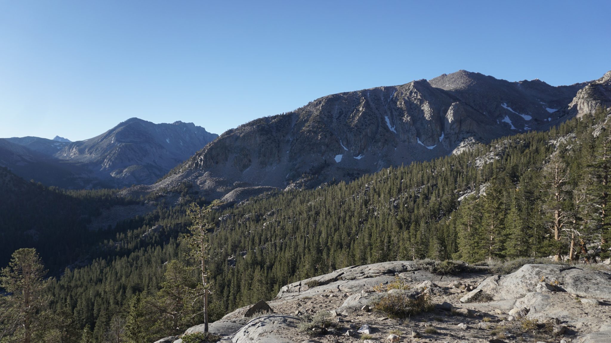
As you continue along the Lamarck Lakes Trail, the brief respite in climbing you enjoyed near the Grass Lake junction dissipates as the trail resumes its ascent, now heading southeast to Lower Lamarck Lake. Views east across Bishop Creek Canyon and south over the rugged ridges dividing North Lake from Sabrina Basin provide abundant scenic rewards, especially during those times when you need to stop and take a break thanks to the combination of a moderately steep incline and thin atmosphere.

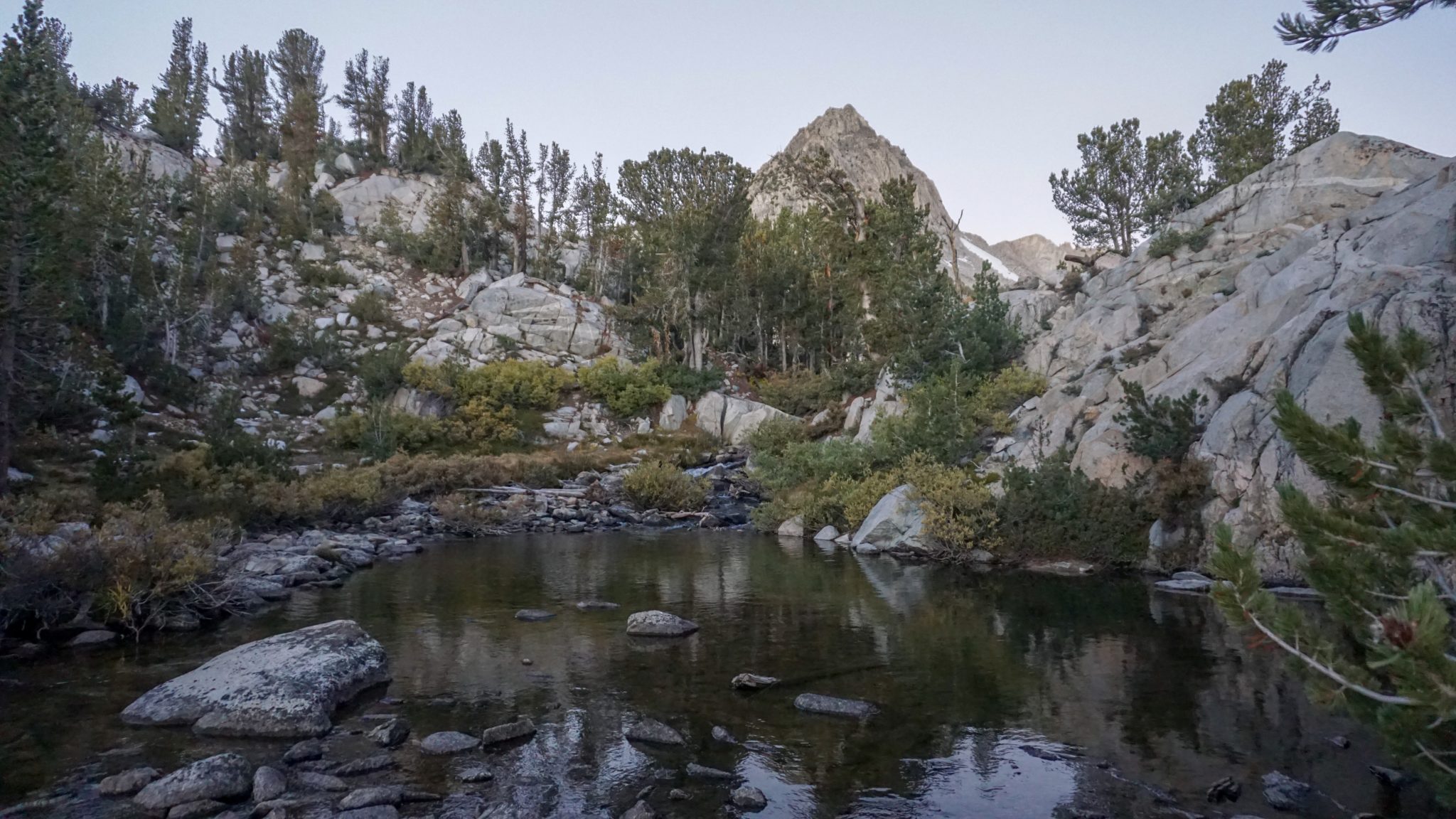
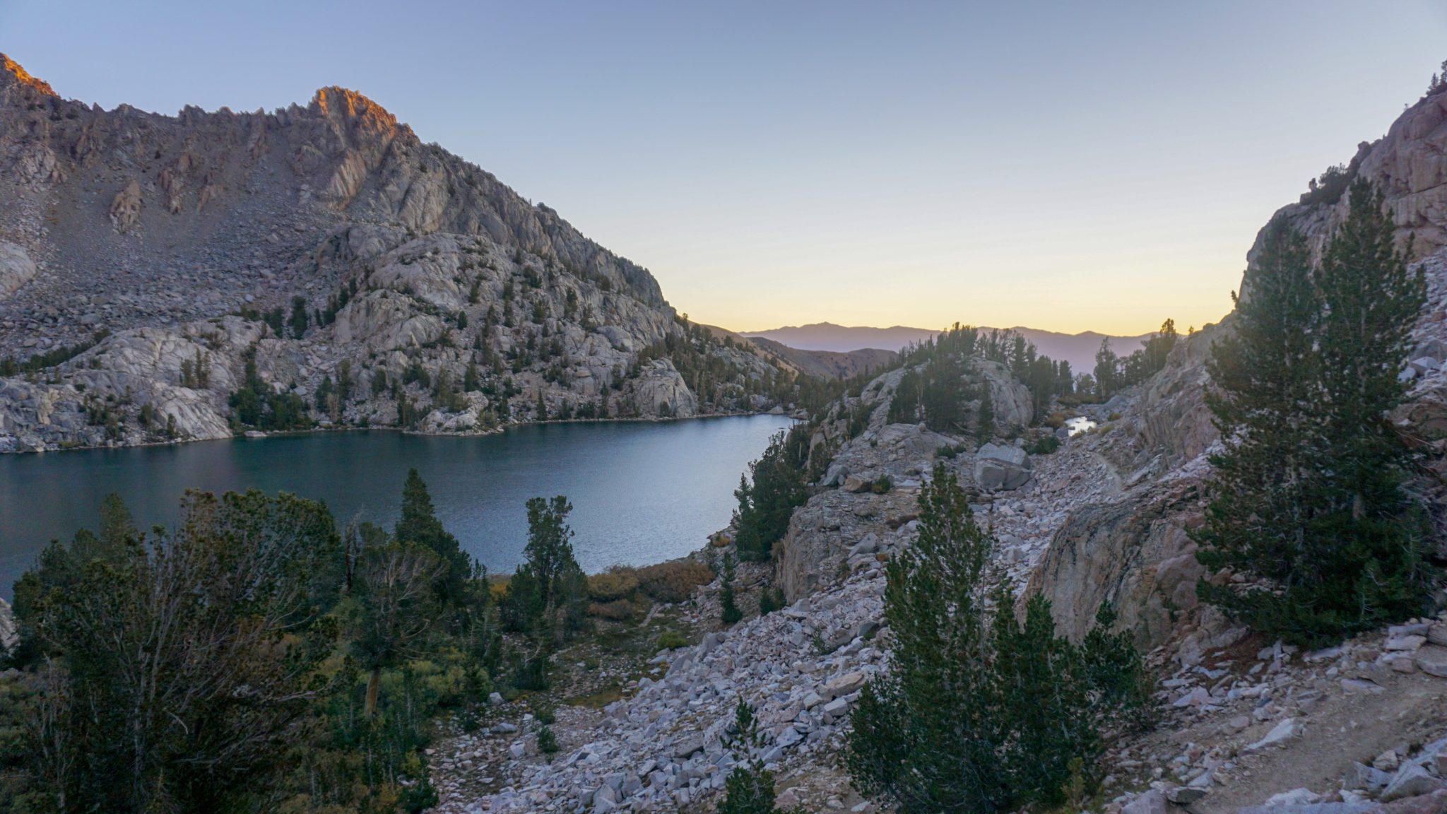
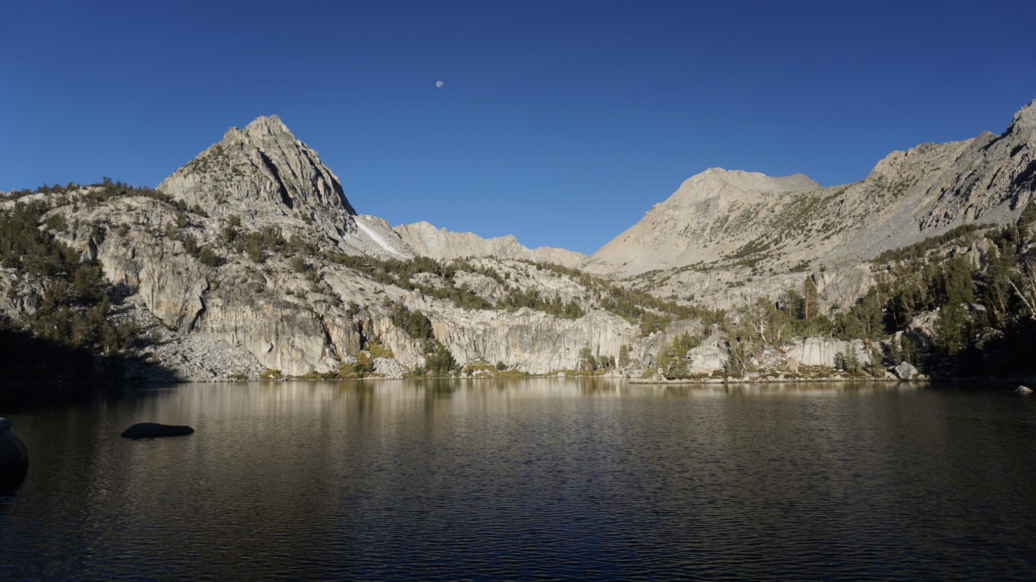
At 2.1 miles, the trail evens out once again just before reaching Lower Lamarck Lake. Right before you cross the lake’s outlet creek, look for informal paths that lead to the bank of the lake. Several camping areas can be reached from these informal paths, and all of them offer a nice place to bed down for the night. The lake itself is actually the prettier of the two (subjective opinion alert), with a pyramidal, unnamed high point providing a scenic focus.
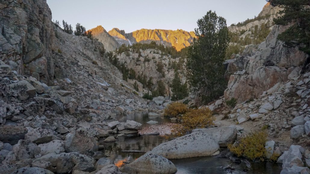
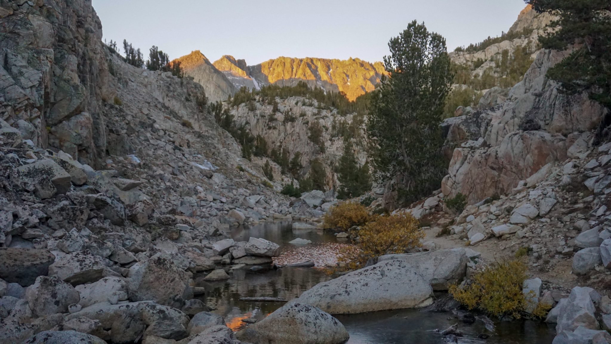
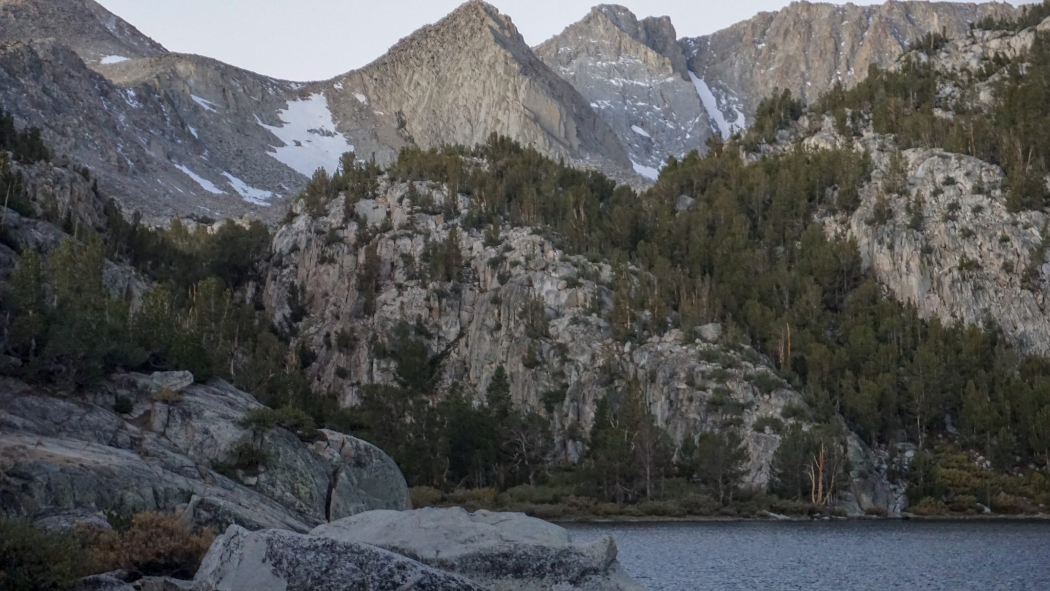
Continue along the Lamarck Lakes Trail as it crosses the outlet creek and then enters a narrow ravine filled with a handful of picturesque tarns. The trail then sidles up alongside Lamarck Creek at 2.4 miles before making the final climb through a wooded ravine toward the upper lake. Where the ravine tops out, you will bend to the right to pass through a lovely, but stretch of trail following Lamarck Creek to the outlet for upper Lamarck Lake. The abundance of water and the mosquitoes that it attracts makes this area poor for camping, and you may be better off setting up at the lower lake unless you want to spend some time hunting down a suitable spot.

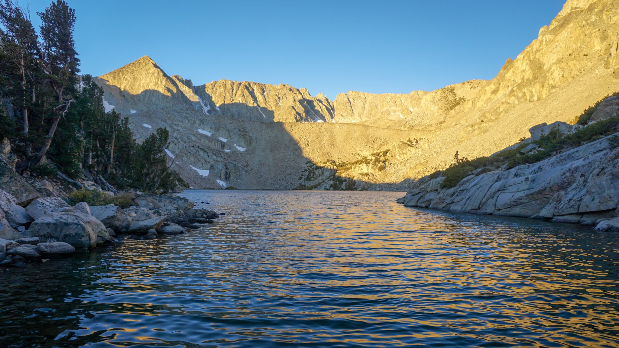
The trail becomes a bit more vague as it approaches the outlet of the upper lake. The view from the outlet is nice, but the views get better if you scramble up the broad ridge to your right. From atop that ridge, you can enjoy views over the entirety of the lake as well as some of the higher peaks on this corner of the Sierra Crest, including Mt. Lamarck. Also note the deep crease to the southwest. This is Lamarck Col, which mountaineers use as a means of shortcutting into Evolution Basin.

The upper lake is your turnaround point, and from here it’s a breezy 2.6 miles back to your car. The moderate distance and elevation makes this a more accessible lake hike than many others, and the descent affords you ample time to enjoy the fall color if you’re hiking during September and October. You may also wish to save yourself some time to explore North Lake and North Lake Road, which also contain a lot of famous fall color hot spots that invite you to test your photographic skills.
Tags: Grass Lake, Inyo National Forest, John Muir Wilderness, Lamarck Lakes, north lake, North Lake Campground, Piute Pass