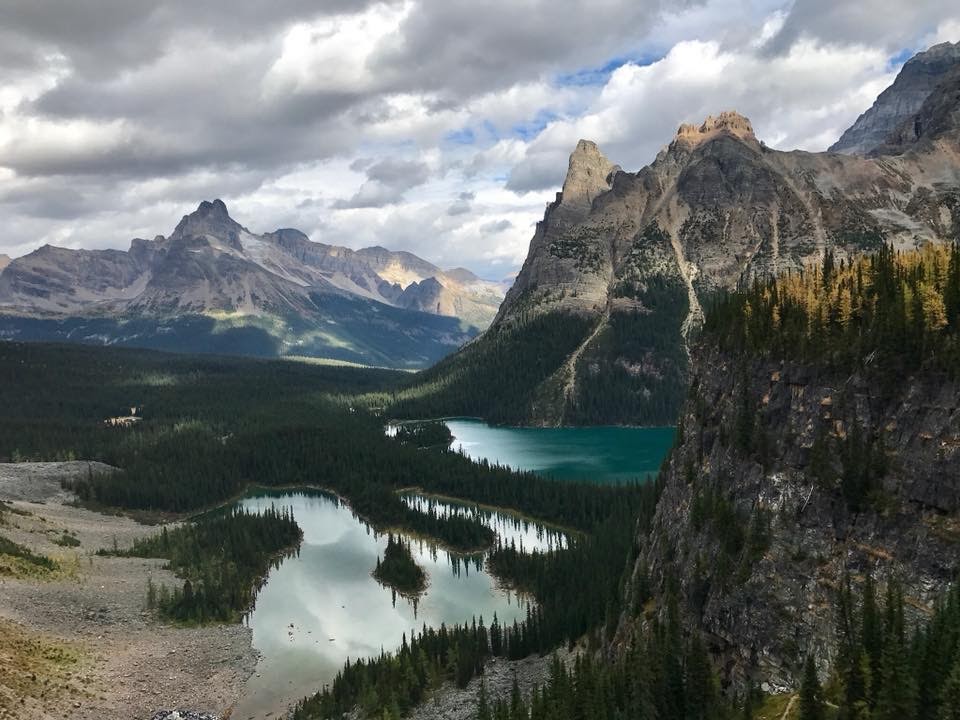
The Lake O’Hara Alpine Circuit is tucked away in the Canadian Rockies of Yoho National Park. This network of trails travels along the shores of several pristine alpine lakes and along the rocky ledges of some impressive mountains.
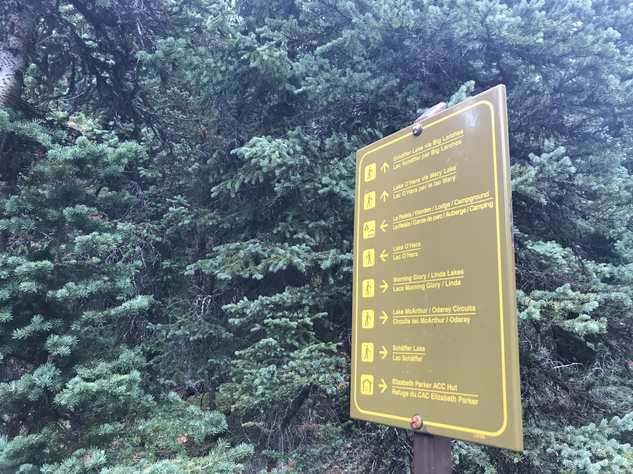
Reaching this isolated area can often prove difficult. The trailhead is only accessible through reservation on a Parks Canada bus or by walking nearly 7 miles on an access road. The bus reservations fill up quickly and registration for the season begins in April. We chose the access road since we were unable to book spots on the bus, which added 14 extra miles to our day (or about 22 km). This is something to seriously consider before beginning your day’s journey. We began early so that we could begin the trail before the first bus arrived. Once we reached the terminus of the road, we saw the cabins of the Lake O’Hara Lodge as well as the Le Relais Day Shelter.
The Le Relais Day Shelter provides snacks, maps and information about the trail and surrounding areas. The shelter is operated by the Lake O’Hara Trails Club, which is dedicated to preserving the trails and areas around Lake O’Hara. Both the Lake O’Hara Trails Club and Parks Canada stress the importance of protecting this fragile environment. Be sure to follow leave no trace principles, stay on the trail, and respect any current closures or restrictions in the area. The area is home to a large collection of wildlife, including grizzly bears and elk. There are restricted areas hikers should avoid to protect grizzly bear habitats. Parks Canada offers further information on humans and bears, as well as what to do and what not to do should you encounter a bear. You should always carry bear spray in these areas.
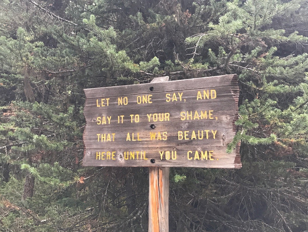
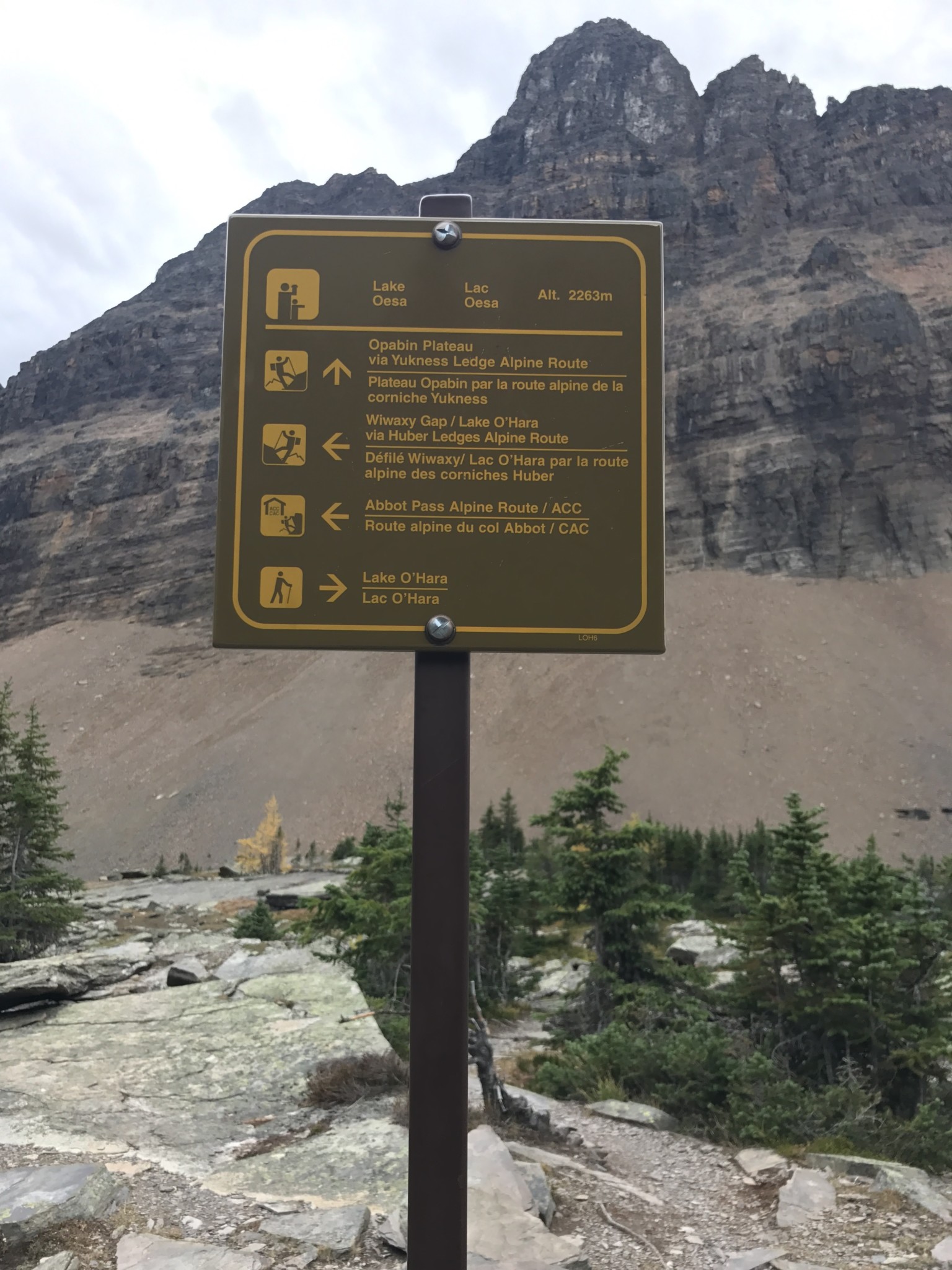
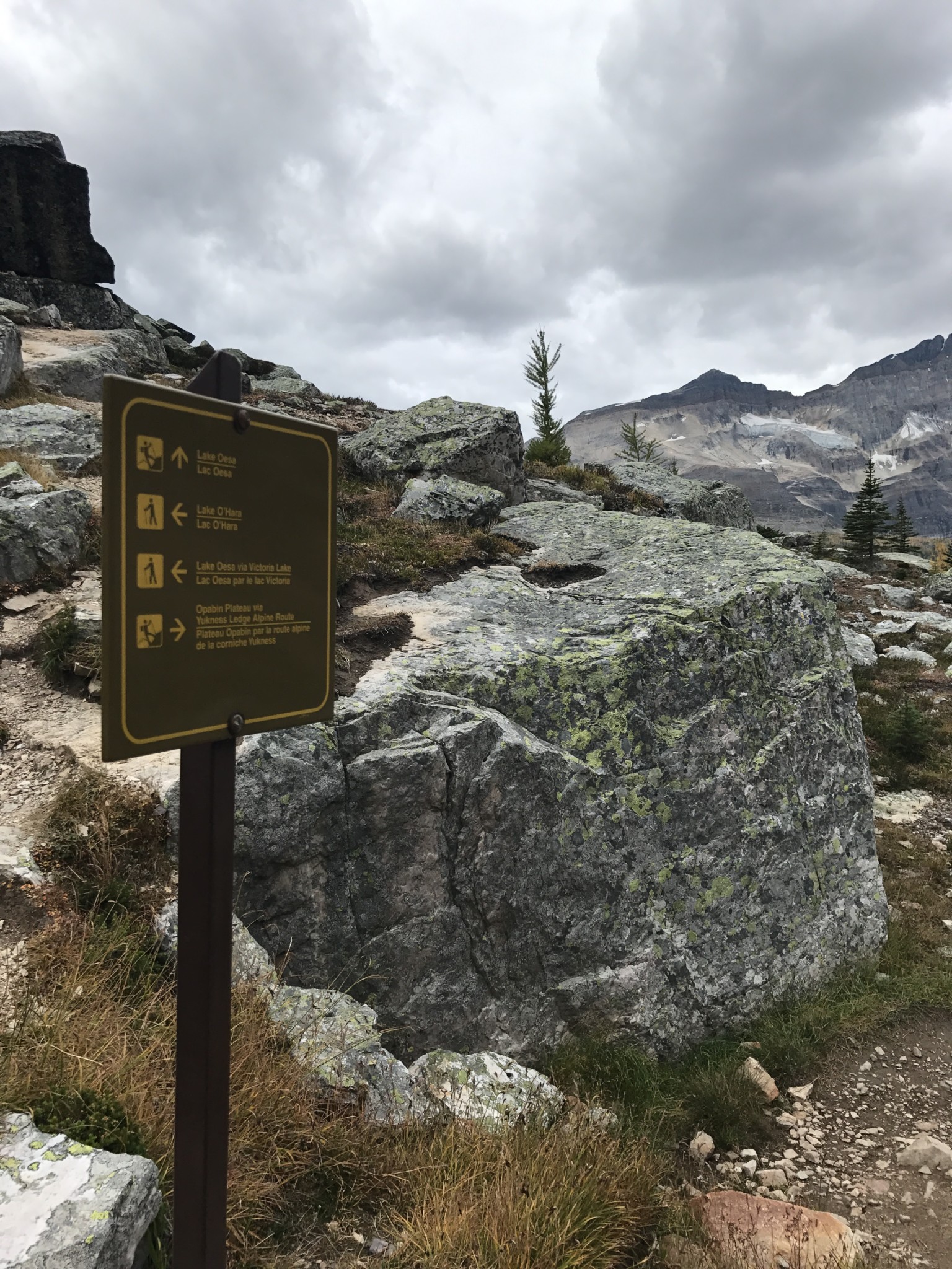
Sign near the Lake O’Hara Lodge
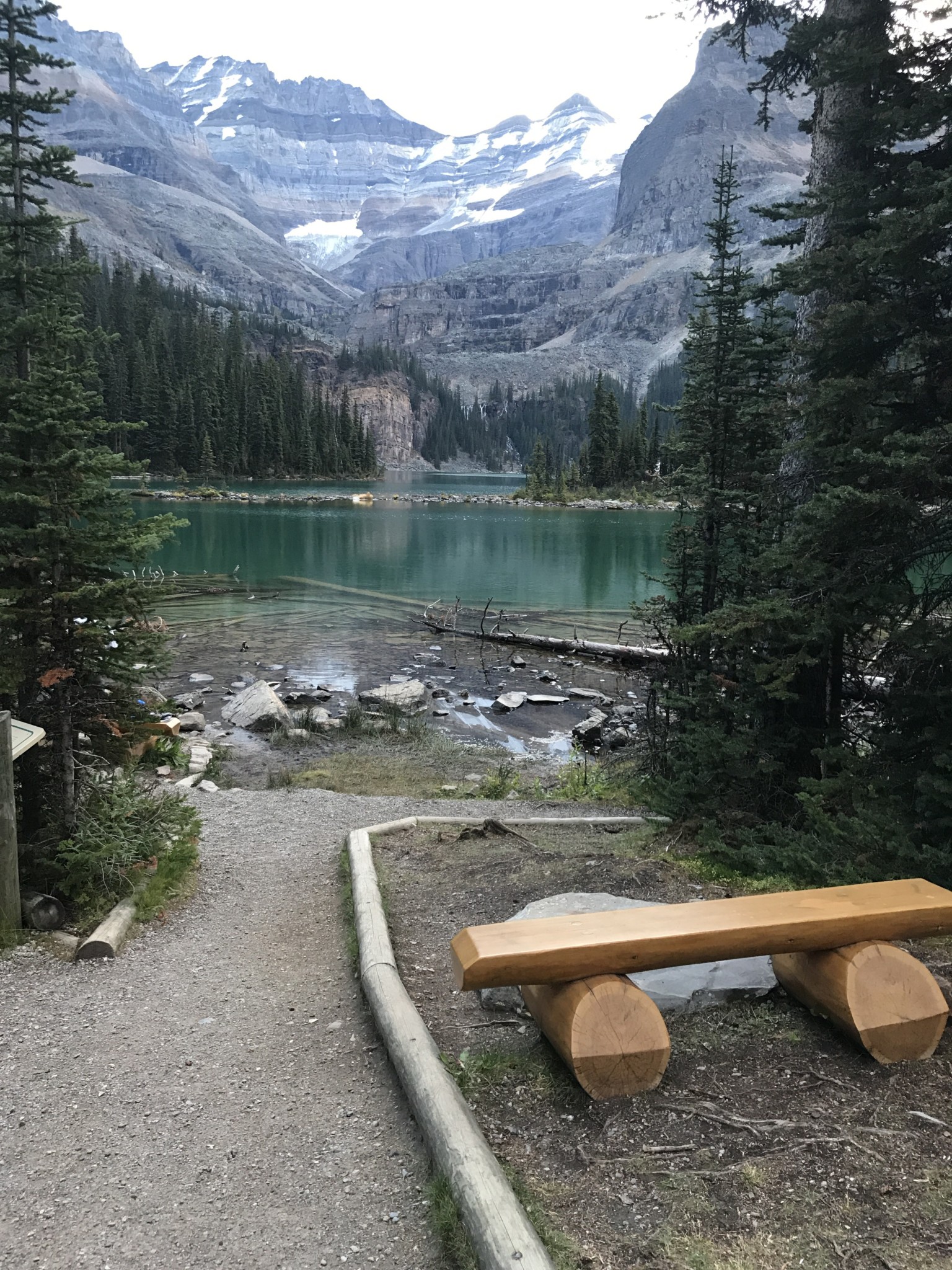
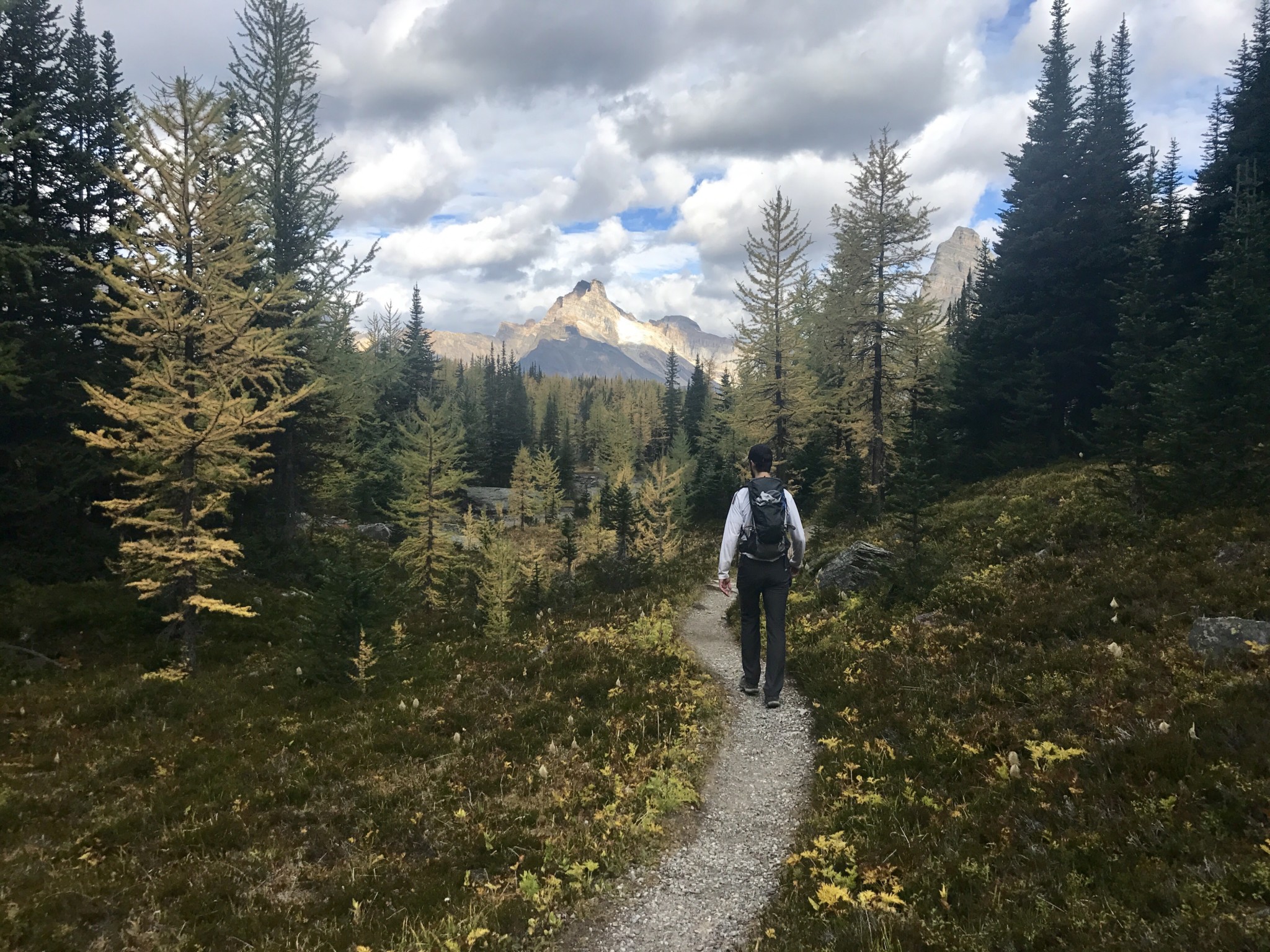
We began at the shores of Lake O’Hara just past the Warden’s cabin. The trail can be completed in either direction, but most advise starting clockwise towards the Wiwaxy Gap.
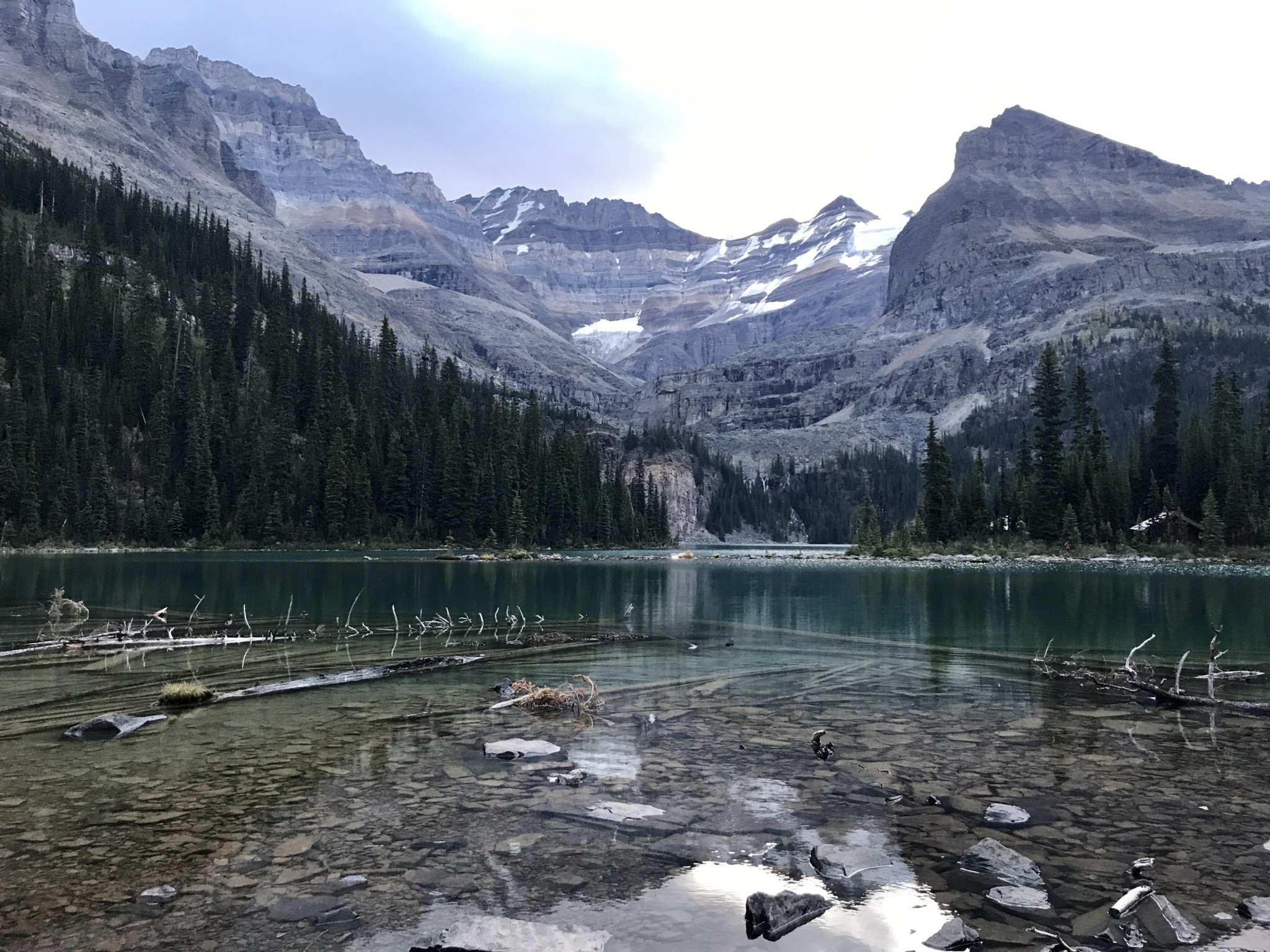
Lake O’Hara
We followed the shoreline for about two tenths of a mile and then followed the sign to head left and uphill toward the Wiwaxy Gap. The lakeshore section is flat and should be appreciated while it lasts, because the trail soon climbs about 1,600 feet over the next mile to the Wiwaxy Gap via a series of steep switchbacks.
We soon realized the climb would be worth the fatigue, as more glacial lakes and towering peaks came in to view.
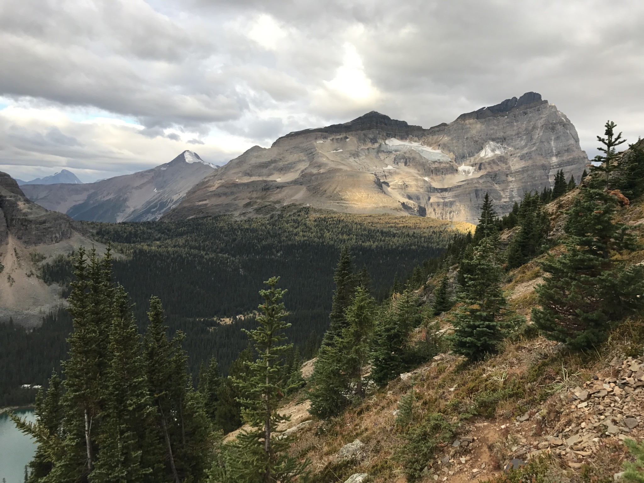
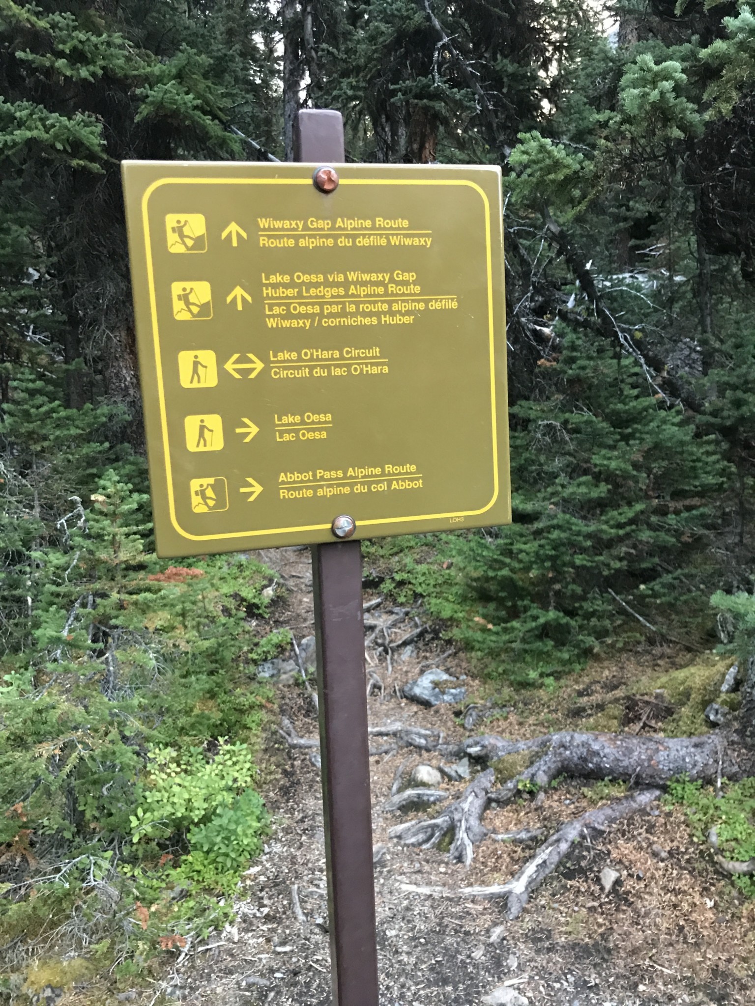
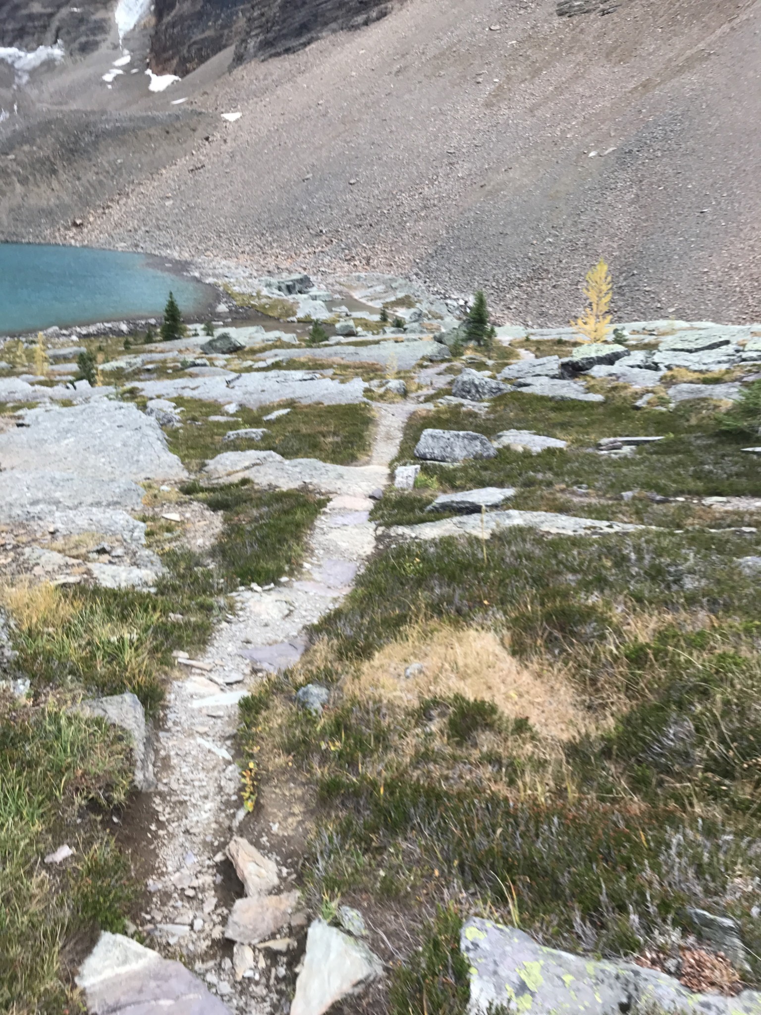
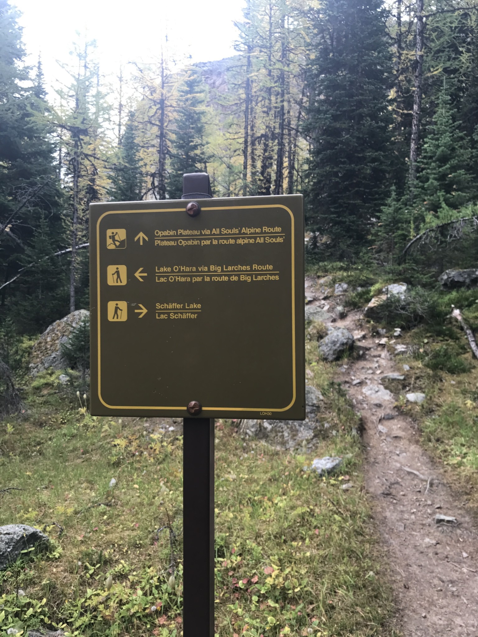
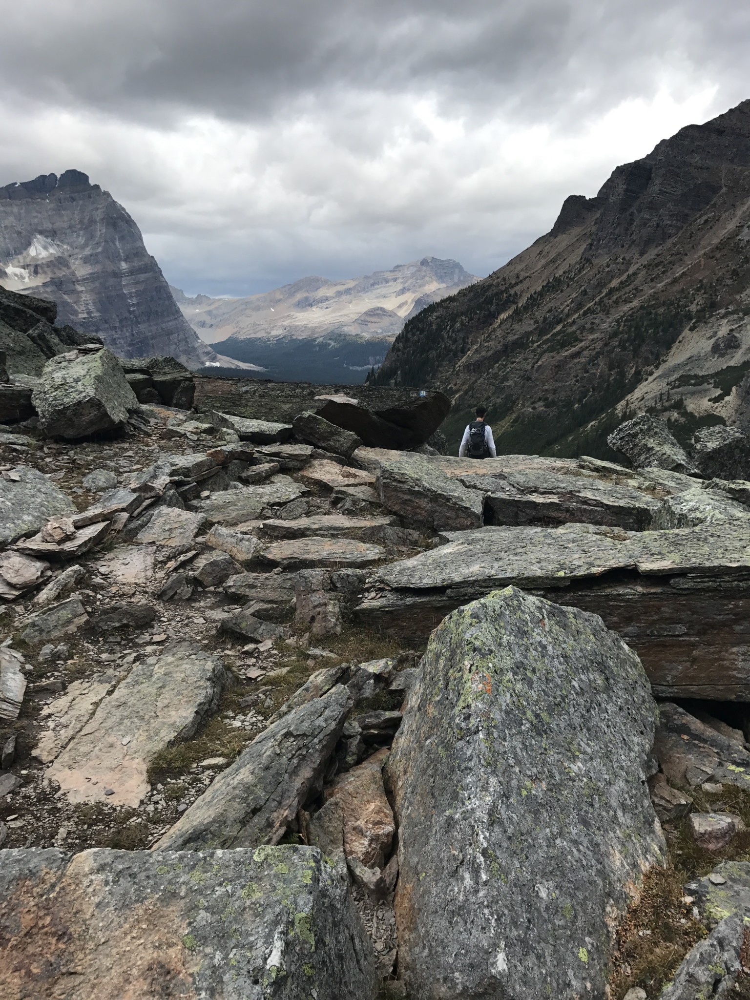
There are signs posted at all major junctions of the trail, as well as small painted markers on rocks along the trail. We relied on these markers heavily, especially on the rocky ledges, which consist of large boulders and scree.
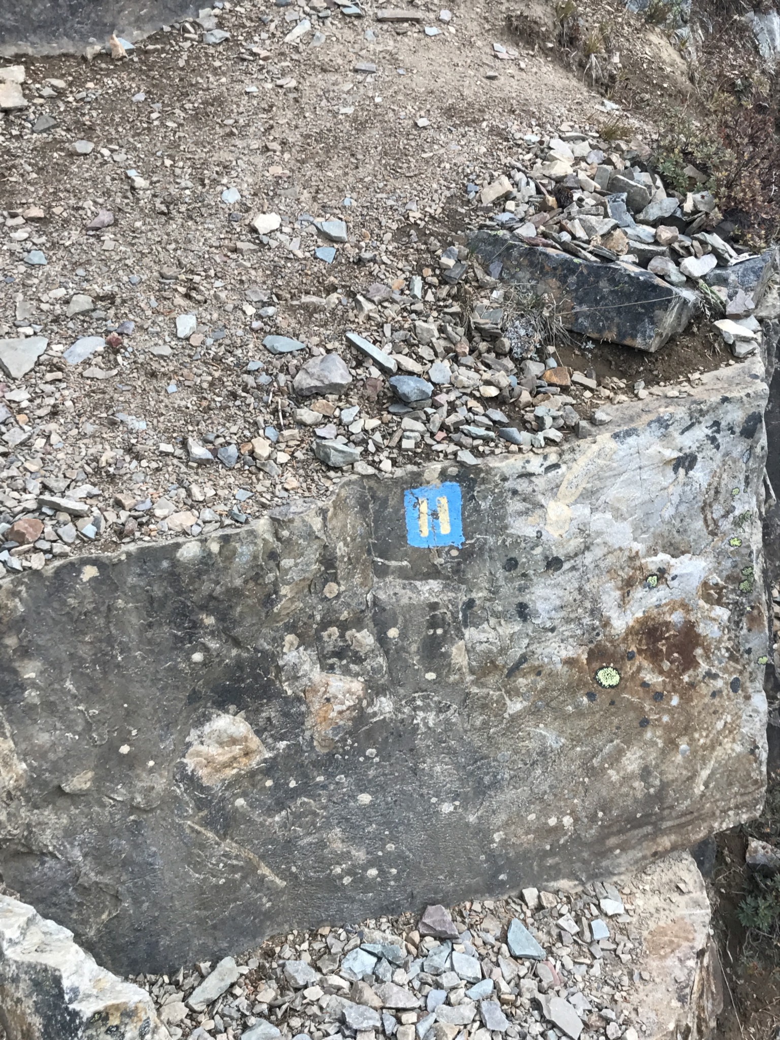
Trail marker
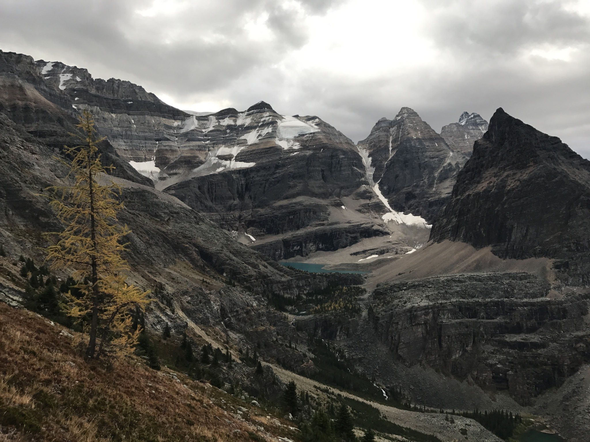
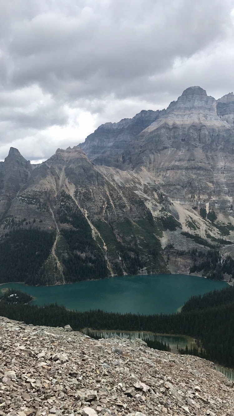
At 1.3 miles into the journey, we reached the Wiwaxy Gap and were rewarded with views in all directions.
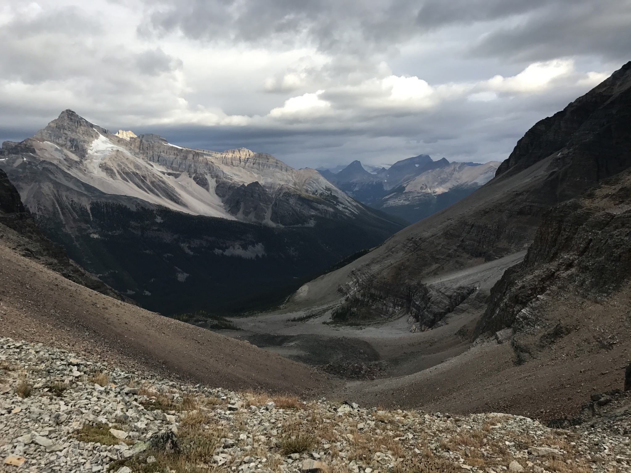
View from the Wiwaxy Gap
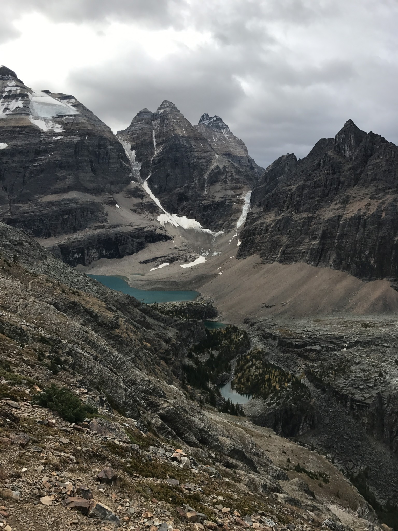
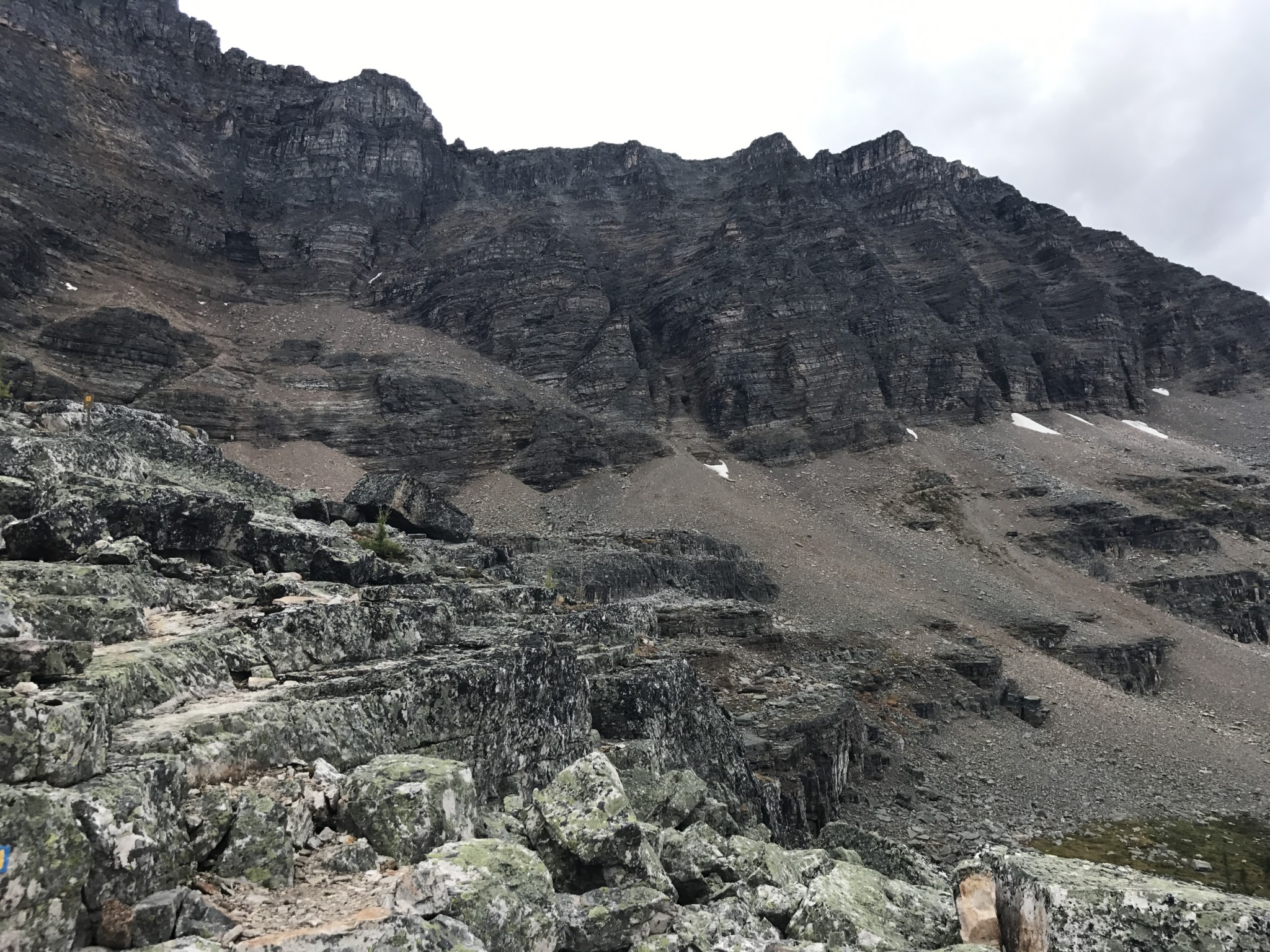
After taking in the views, we trekked onward towards Huber Ledges. This section travels under the peak of Mt. Huber along the scree covered cliffside towards Lake Oesa. Keep an eye out for mountain goats.
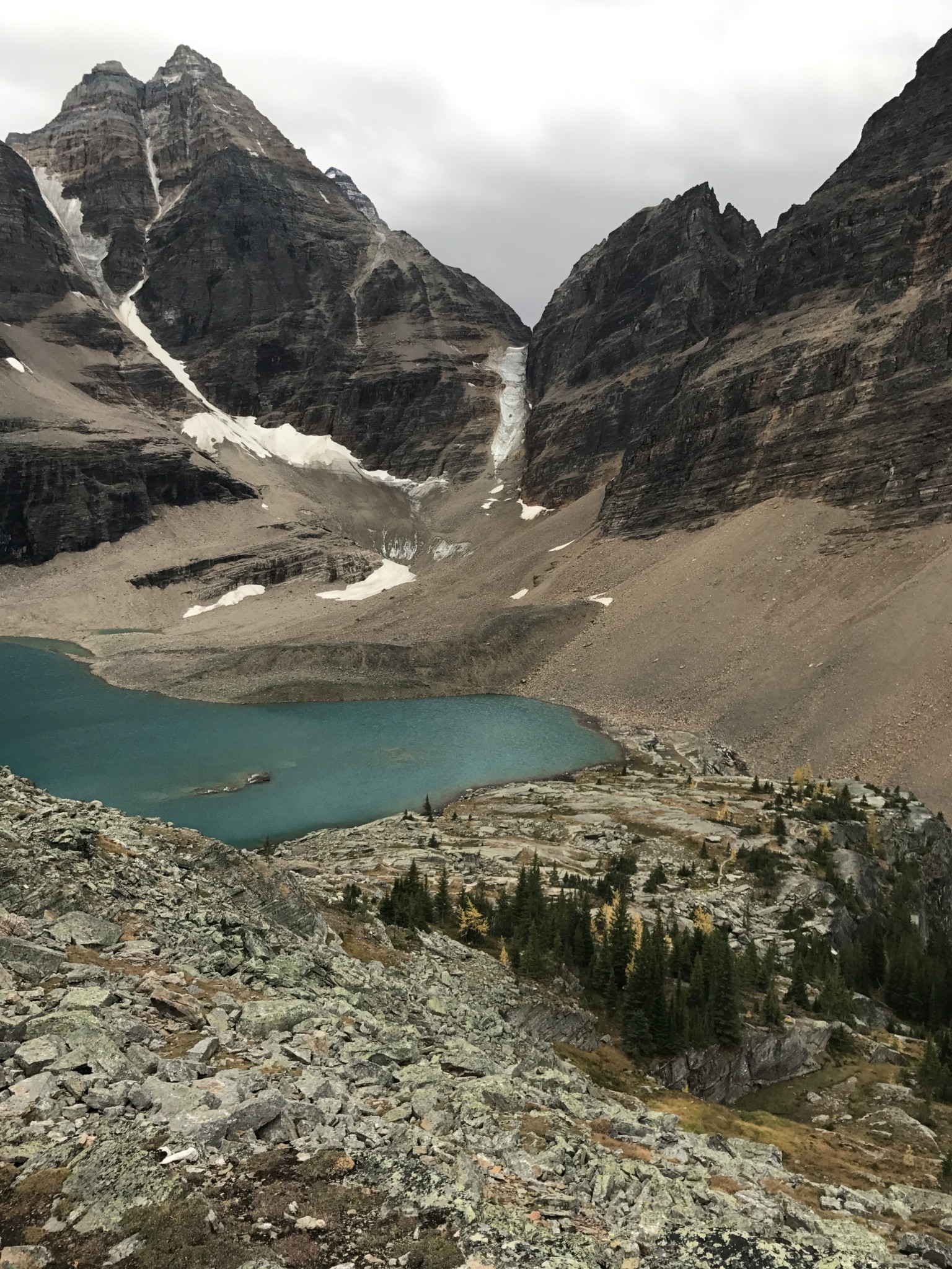
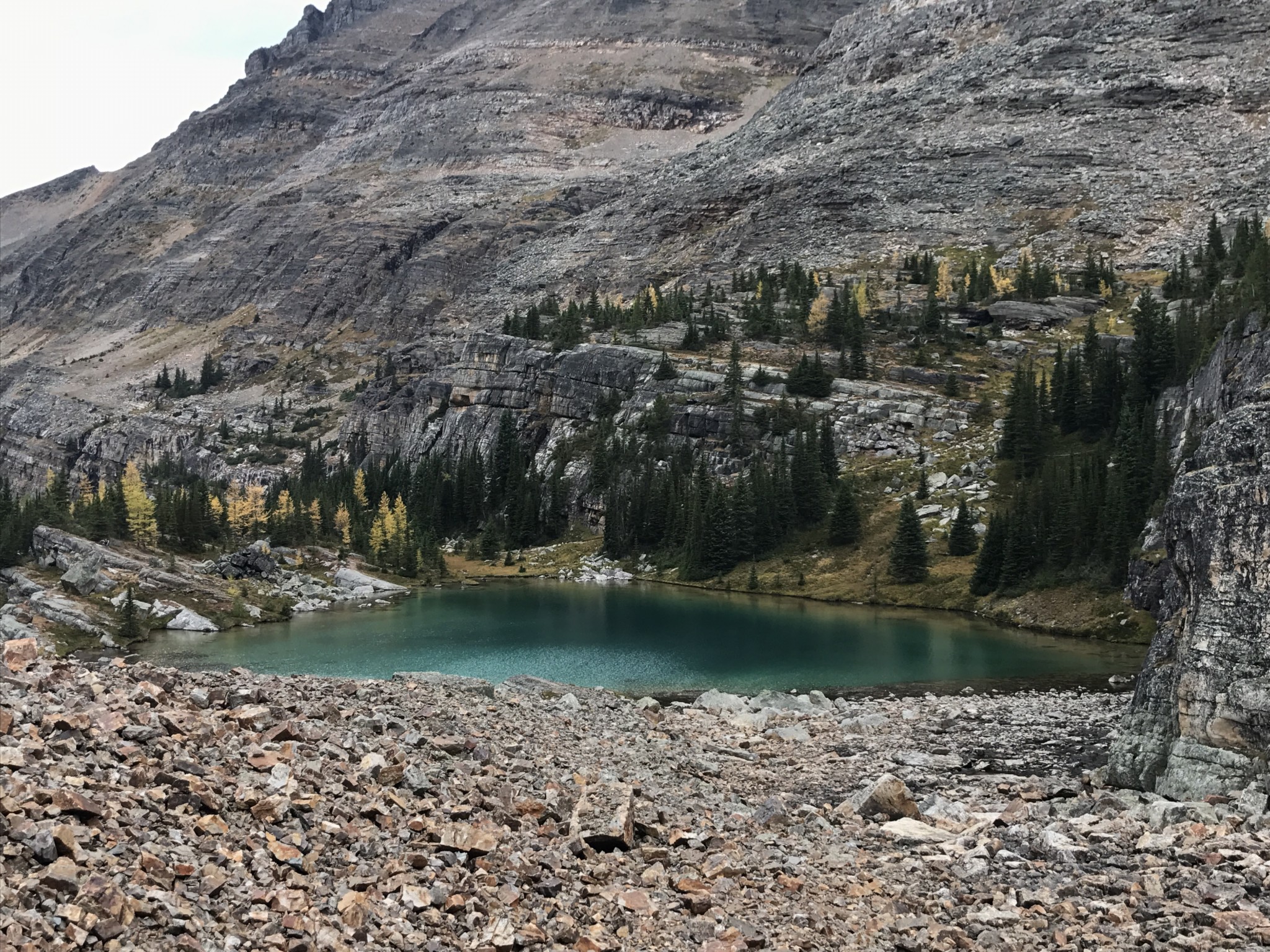
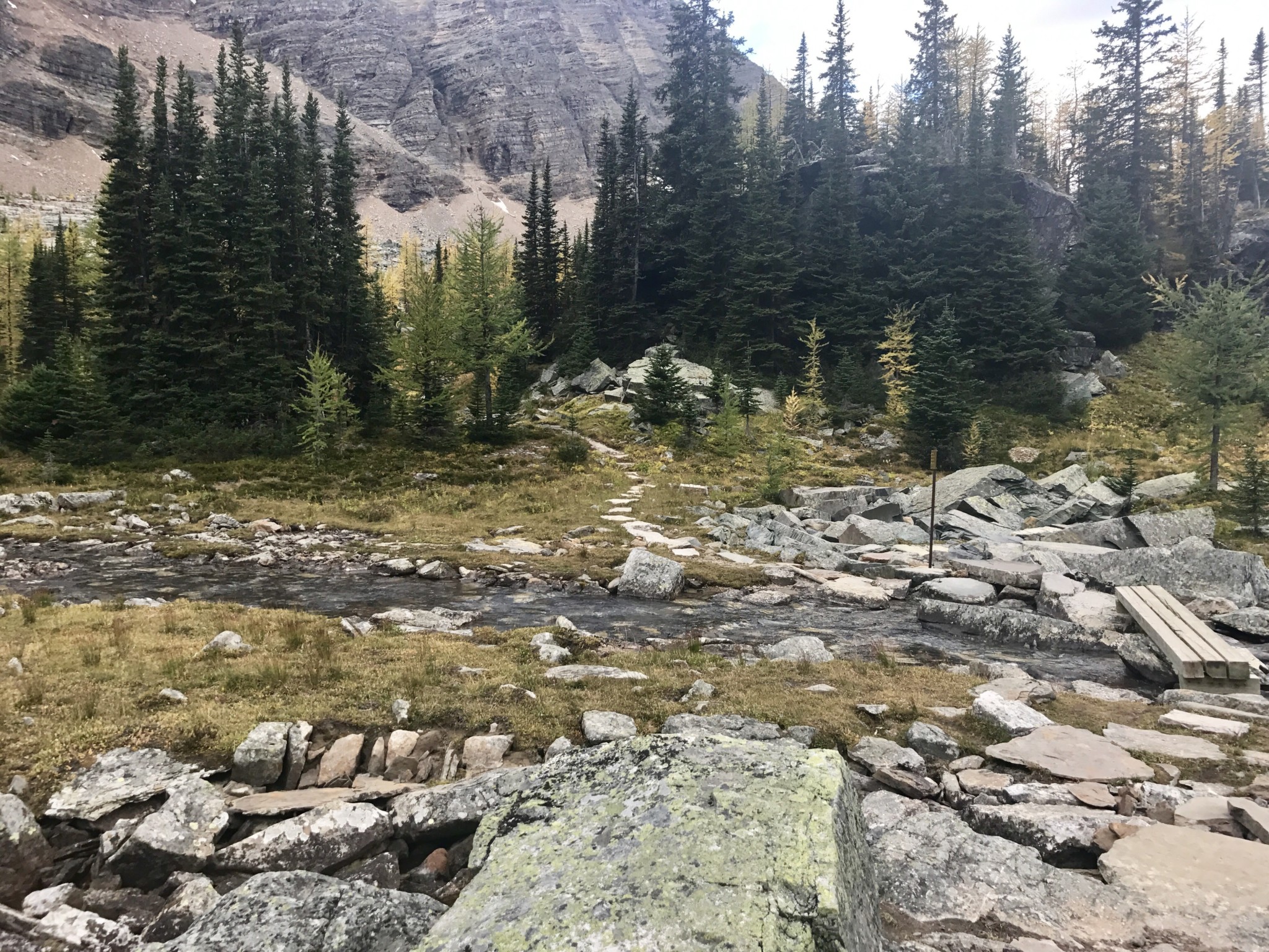
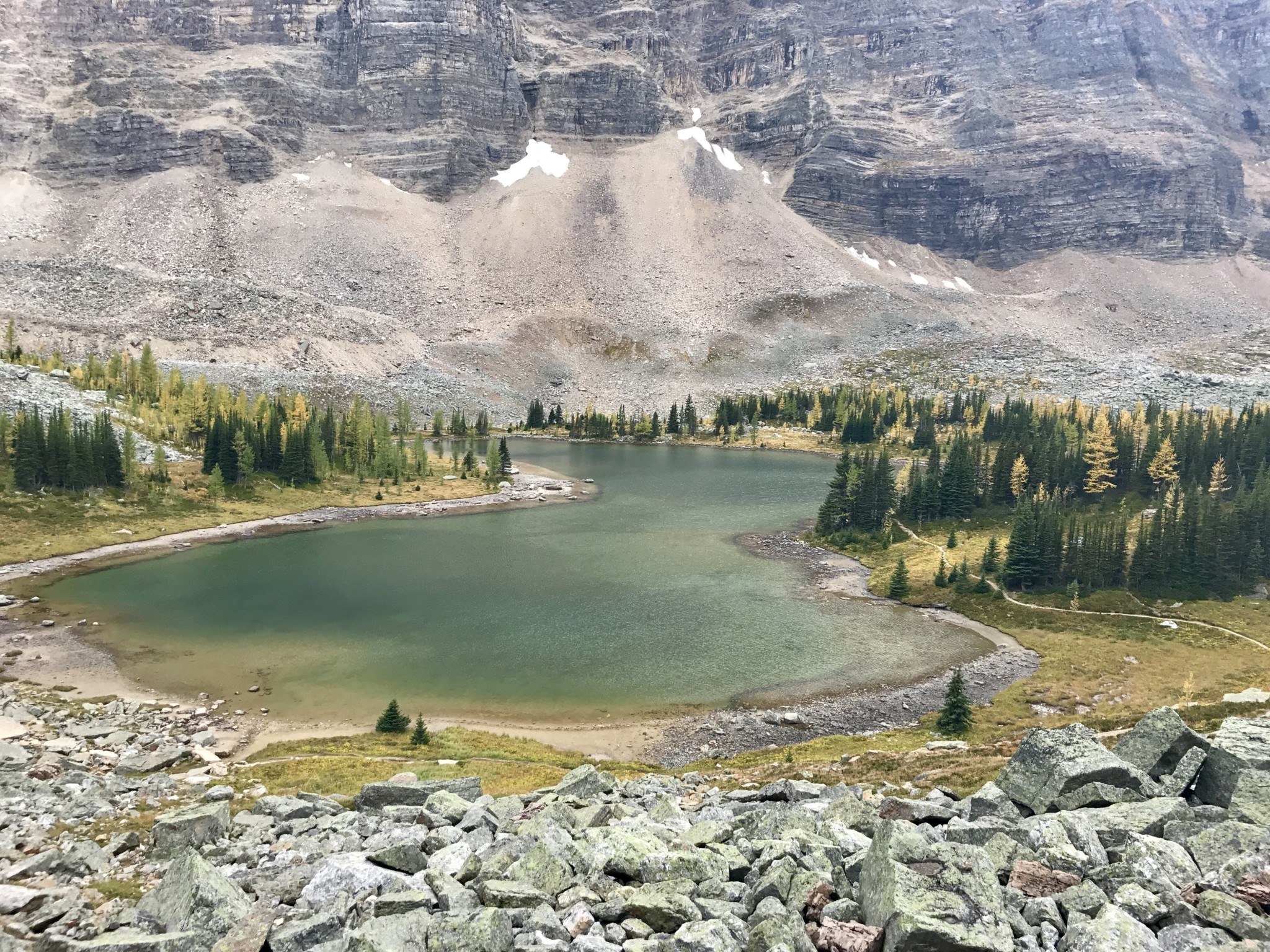
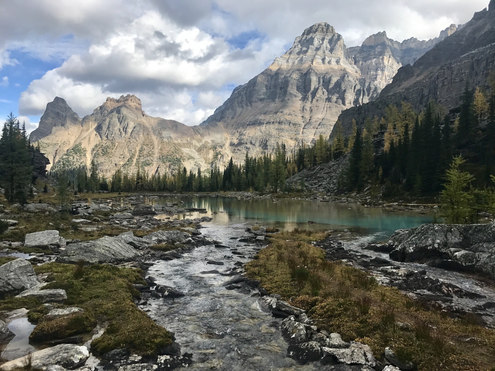
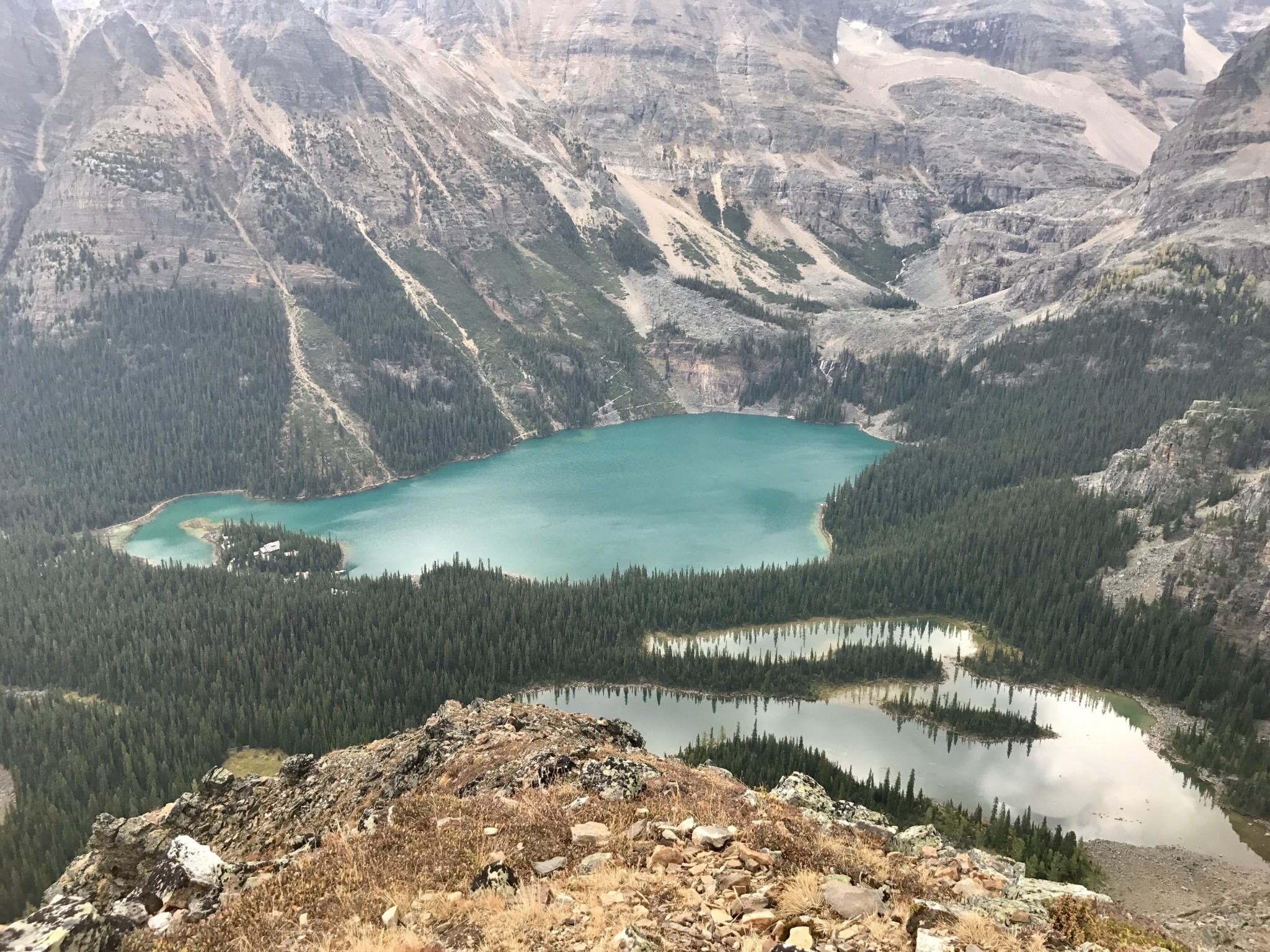
Lake Oesa
We reached Lake Oesa at the 2.5 mile mark. Lake Oesa sits at the base of Mount Lefroy and Yukness Mountain. We traveled along the lakeside towards the next set of ledges, Yukness Ledges. When navigating through the first portion of the ledges, we had to pay close attention to the trail markers. The trail is difficult to delineate and trail markers are the only way to keep on the trail, as it makes a sharp right turn along the side of Yukness Mountain.
Yukness Ledges
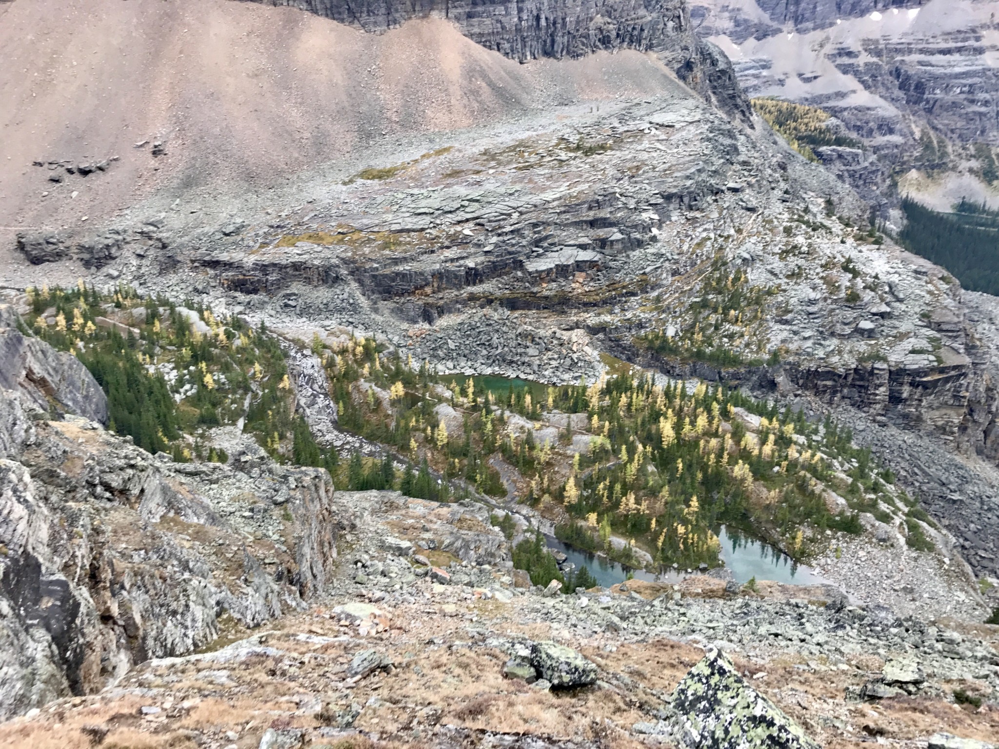
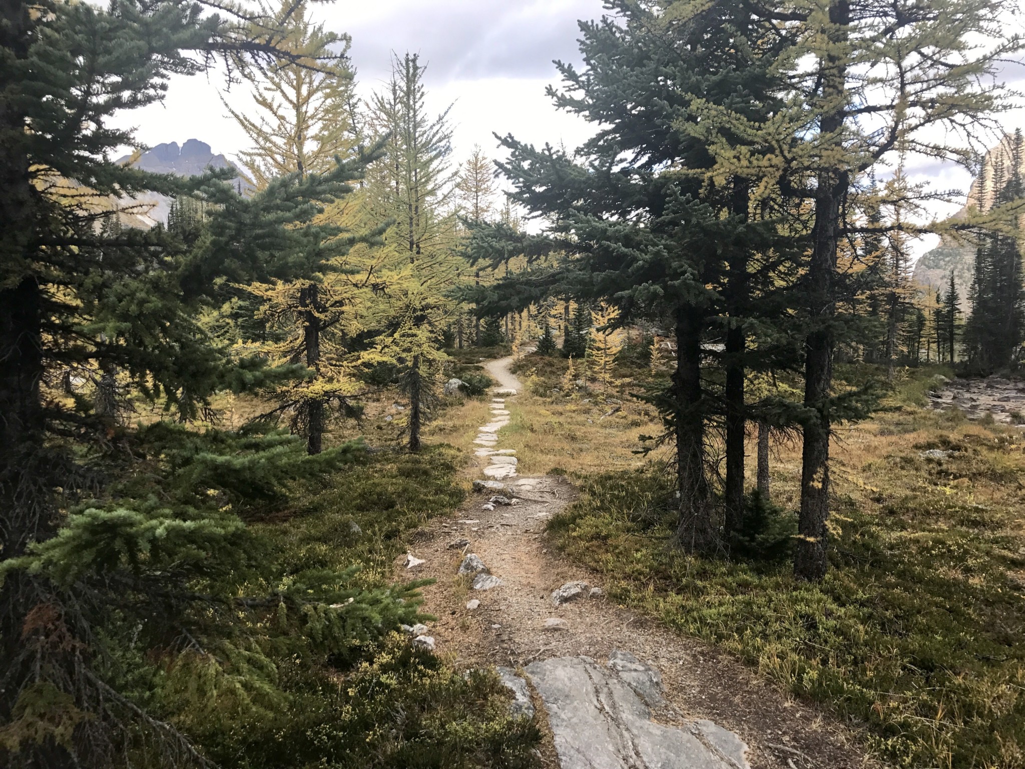
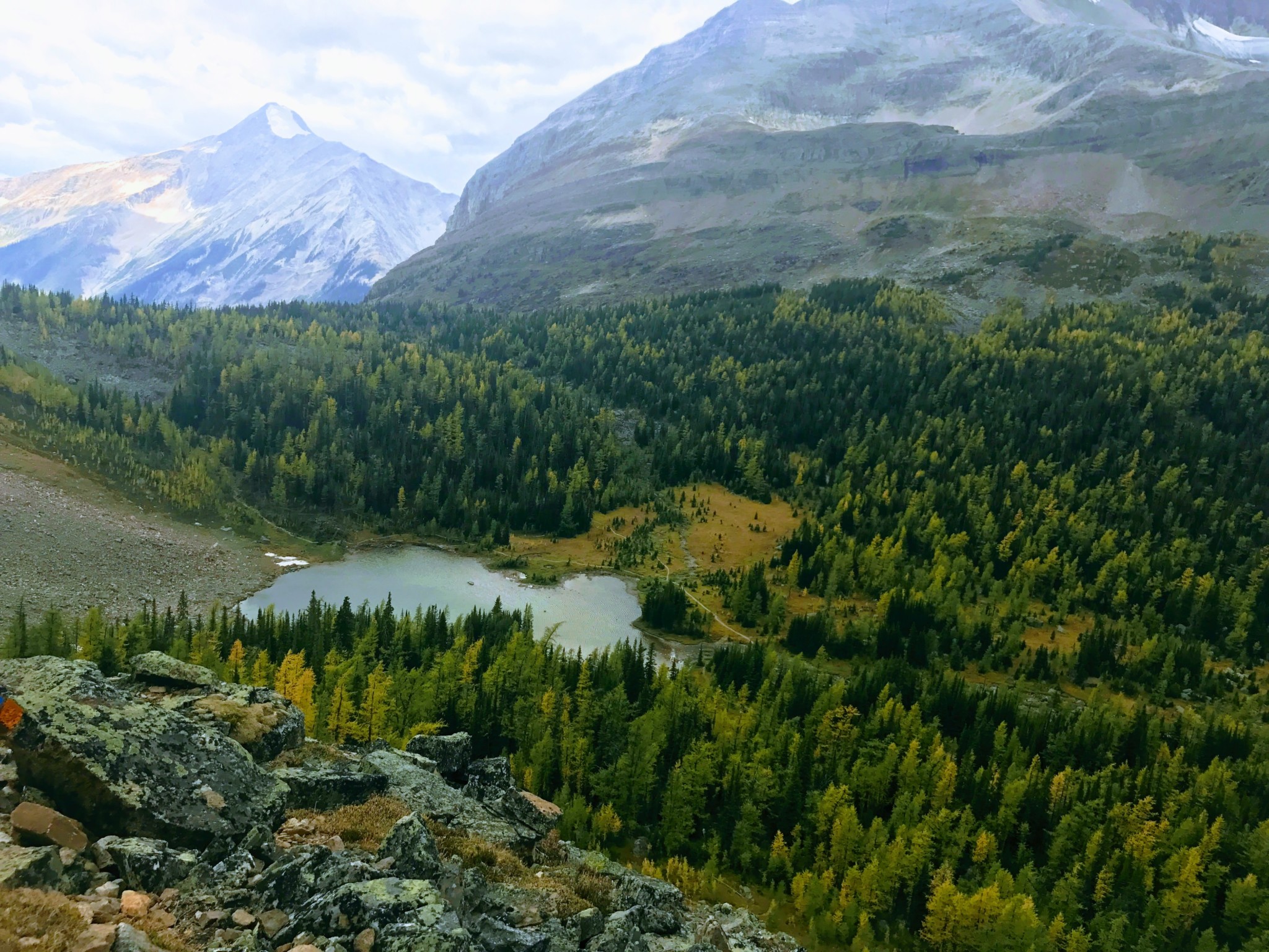
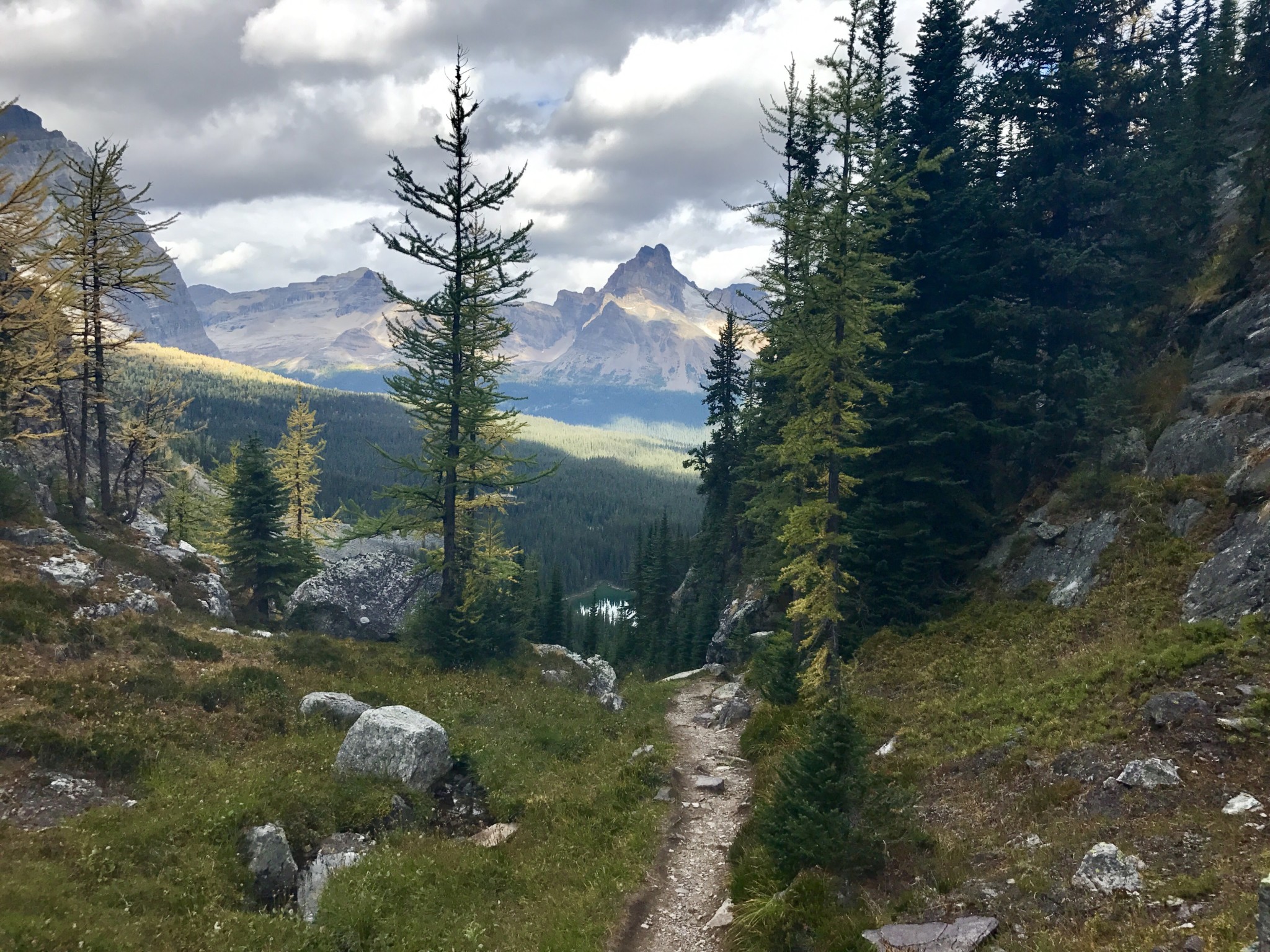
The trail rounds the mountainside and soon we saw yet another set of lakes on the Opabin Plateau. The area around Lake O’Hara is heavily populated with larch trees, which turn a beautiful golden yellow during mid to late September.
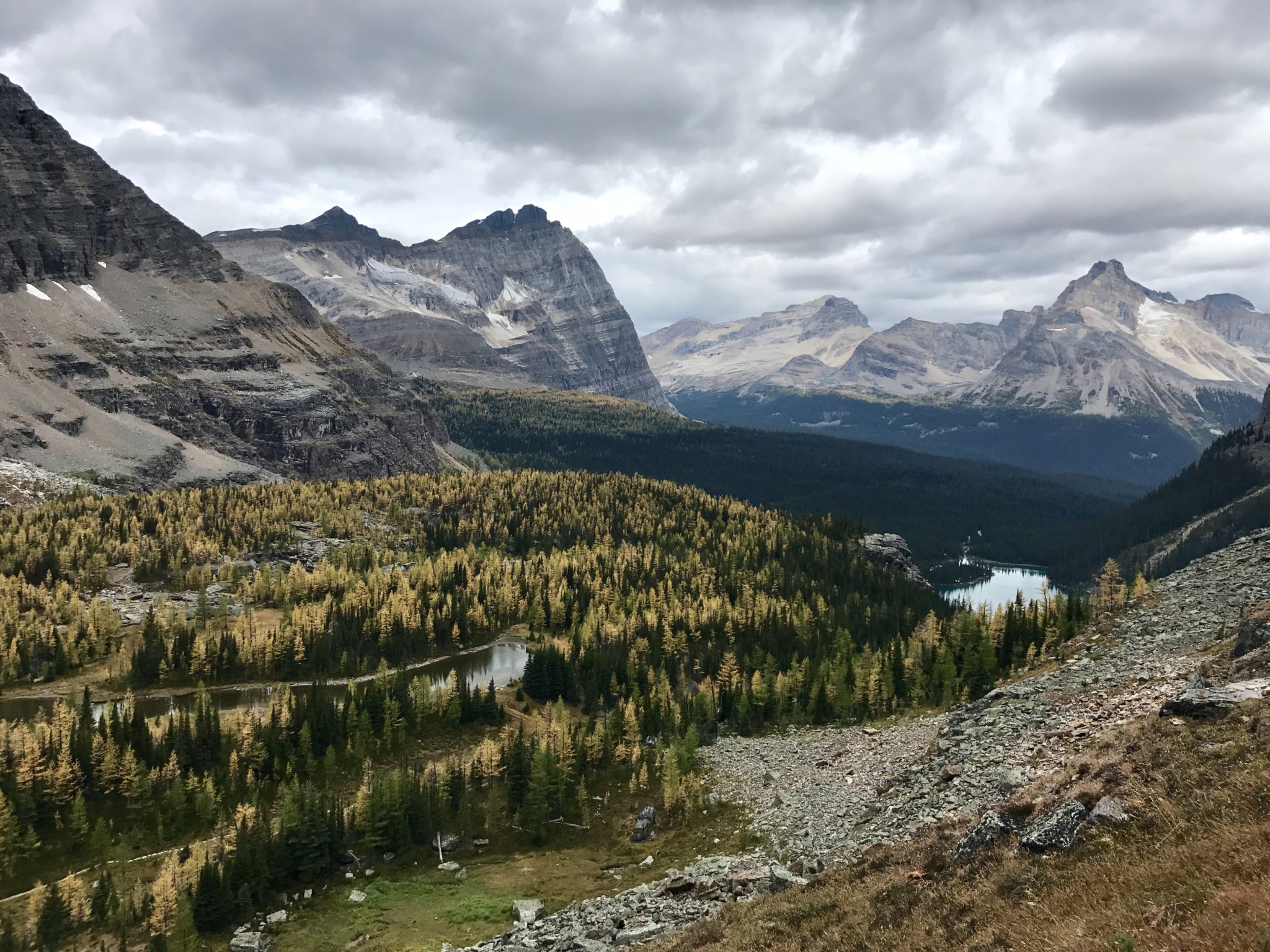
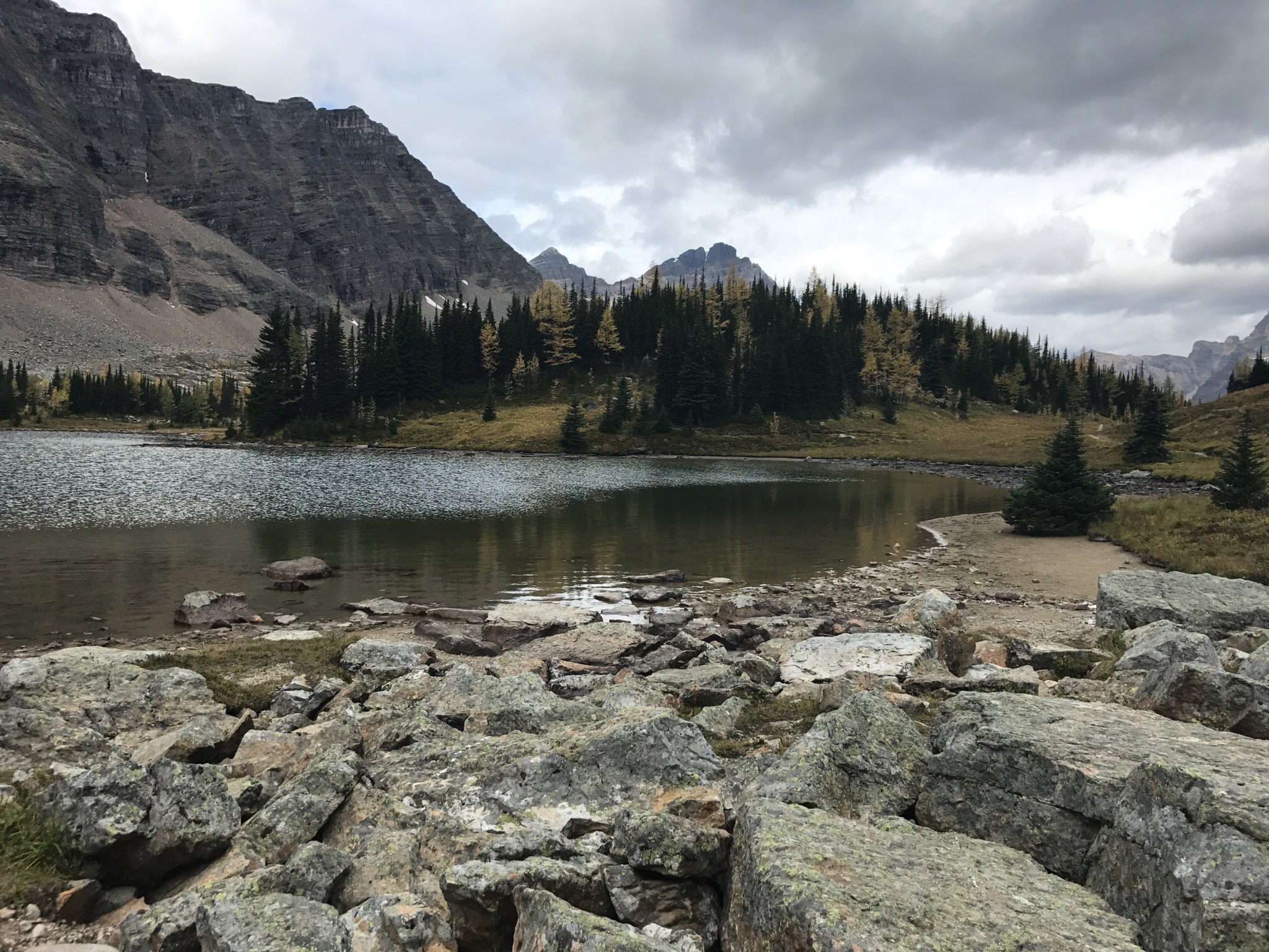
The trail slopes down toward Hungabee Lake and the Cascade Lakes. At approximately 4.2 miles, we were over halfway through the circuit.
Hungabee Lake
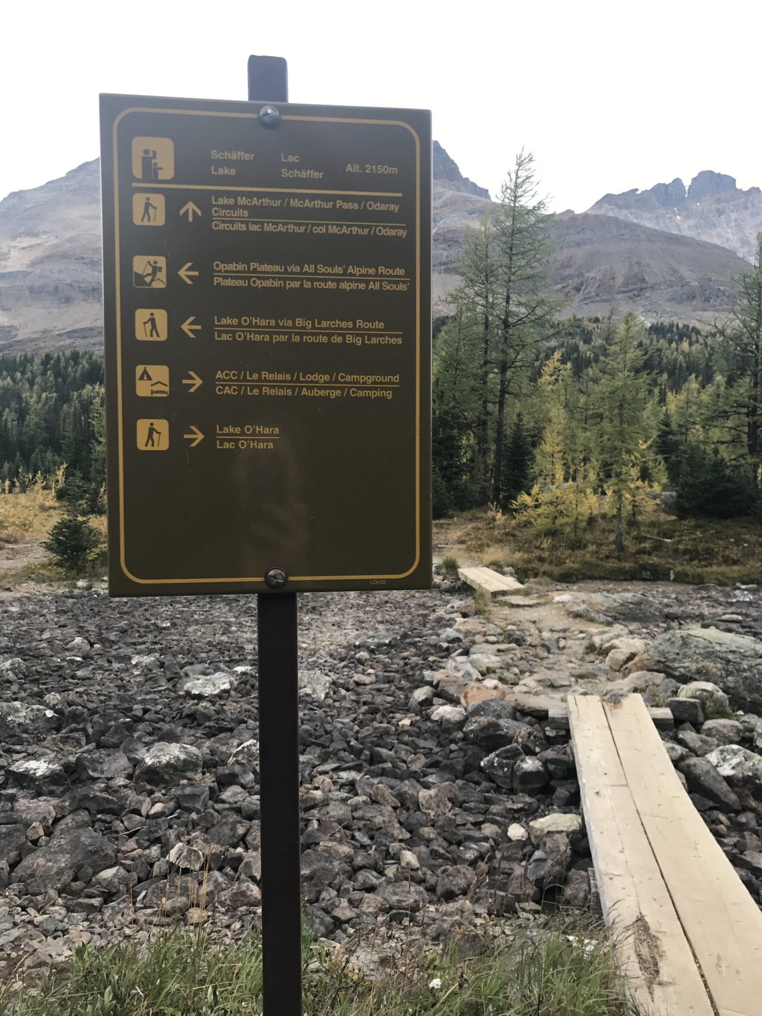
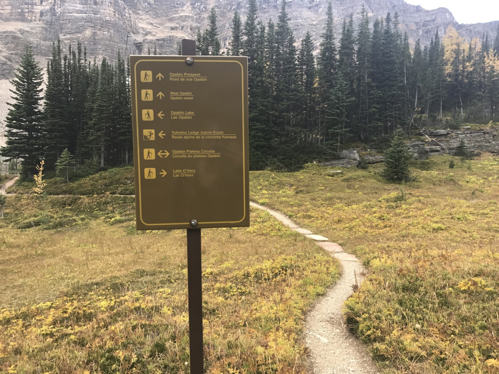
We traveled left on the West Opabin Trail. There are many opportunities to head back to Lake O’Hara along the circuit if needed. For example, if a storm rolls in and you need to return to the lodge, these signs will point you back toward the lake and shelter.
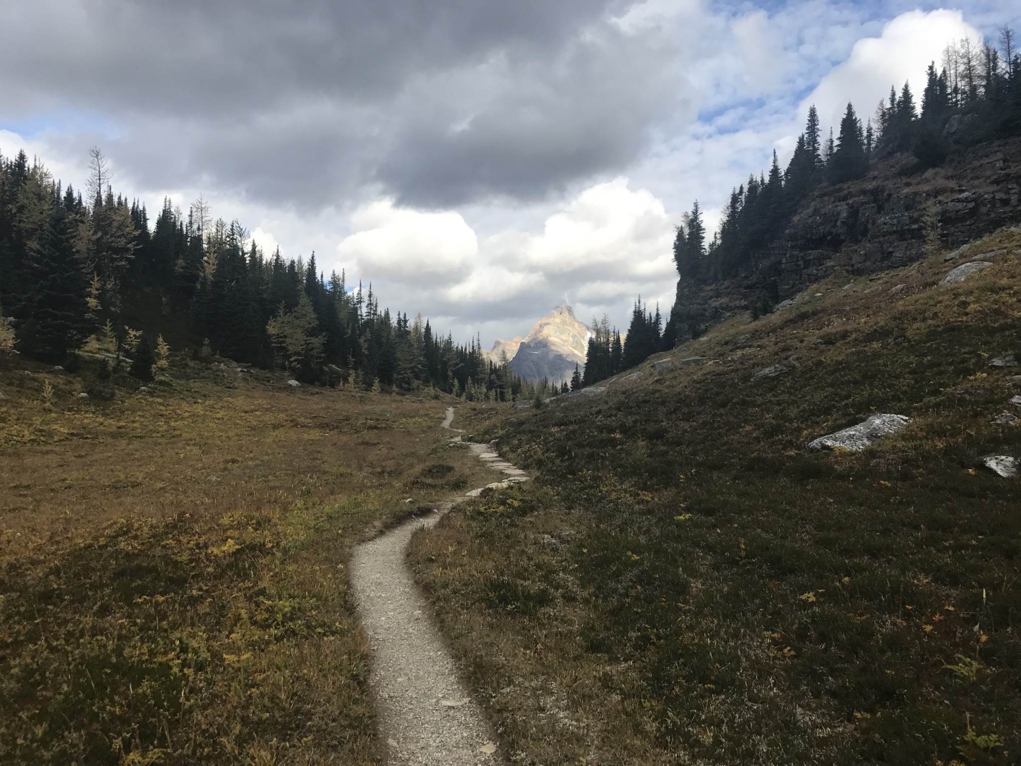
We followed the trail through some larch groves and appreciated the mountains in the distance.
There is no shortage of lakes, Fall foliage, or views of mountains on this trail.
View of the Wiwaxy Gap in the distance
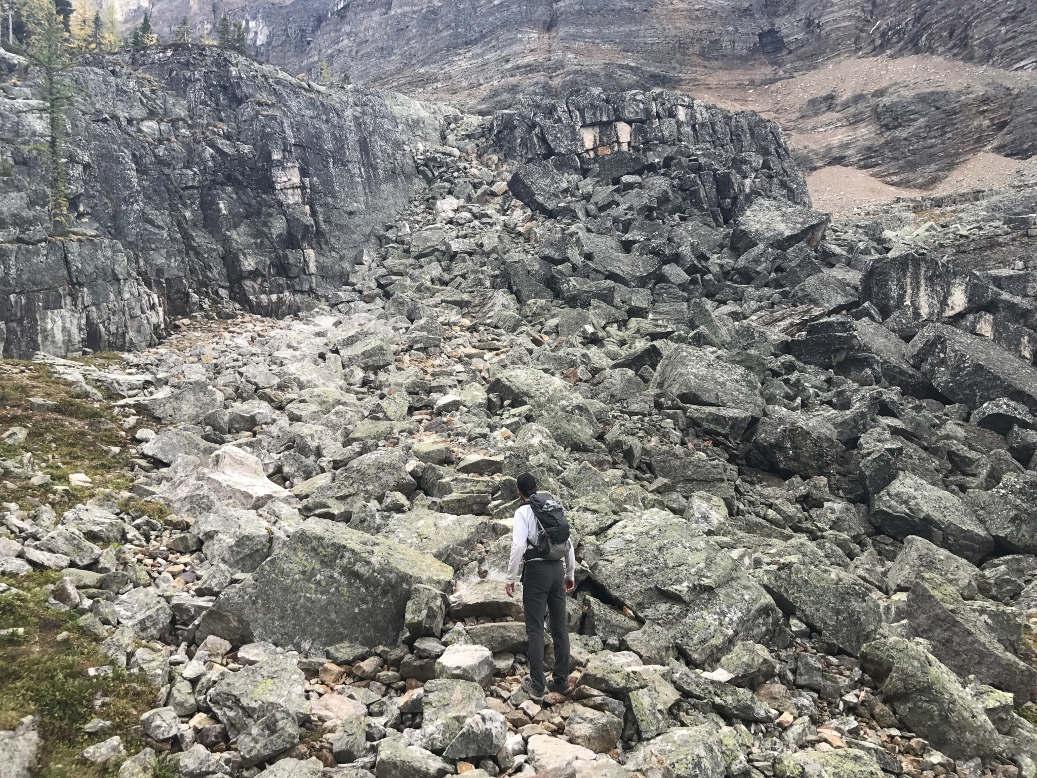
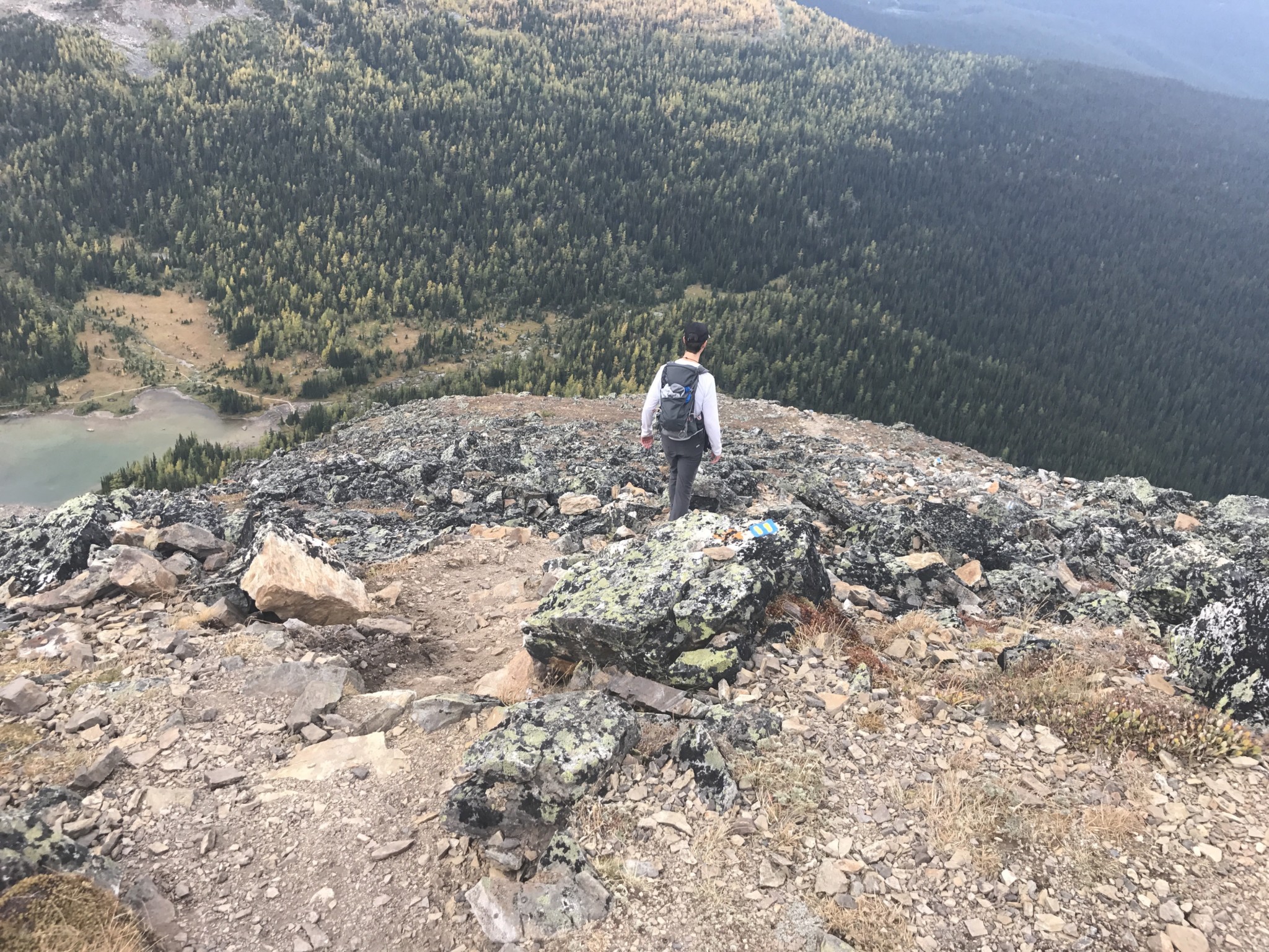
At 5 miles, we reached the turn off for All Soul’s Prospect. Again, we had to look for the trail markers as we ascended yet another rock pile.
Don’t forget to appreciate the views!
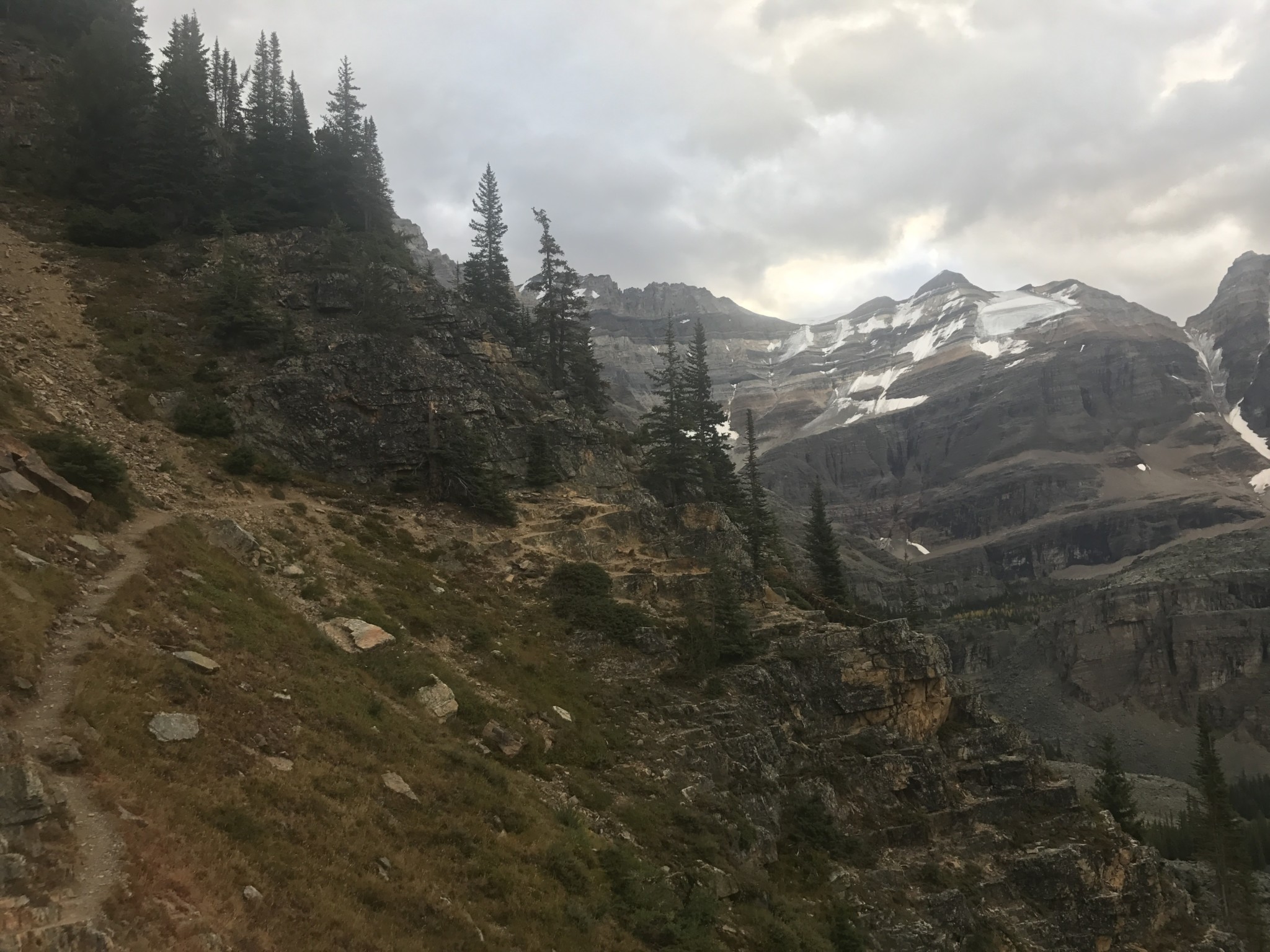
The trail continues under the shadow of Mount Schaffer towards All Soul’s Prospect.
Trail towards Mount Schaffer and All Soul’s Prospect
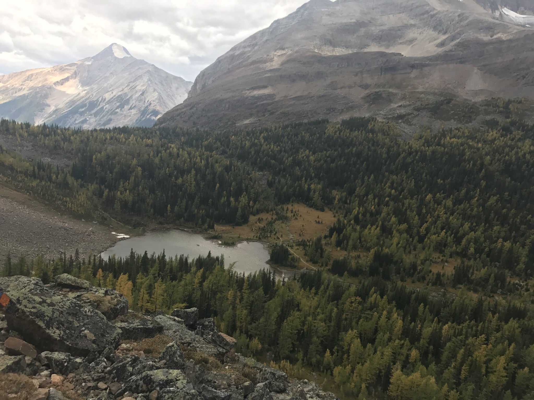
Upon reaching All Soul’s Prospect at roughly 6 miles, we could see all the lakes and ridges we had traversed. With about 1 mile to go and storm clouds rolling in, as well as a 7 mile trek down the access road, we needed to get off the trail.
View from All Soul’s Prospect
The trail winds steeply down the side of Mount Schaffer towards Schaffer Lake. The helpful alpine markers allowed us to follow the trail without losing our way.
Once we reached Schaffer Lake we followed the signs and completed the final half mile back to Le Relais and the Lodge. Big Larches Trail will take you toward Mary Lake and is not the most direct route to get back.
After 7 miles of the most beautiful scenery, we arrived at Le Relais Shelter and ate a slice of the legendary and delicious carrot cake. The carrot cake was good fuel for the 7 mile trek back down the access road to the parking lot.
Tags: Alpine, British Columbia, canada, canadian rockies, glaciers, Hiking, lake o'hara, lakes, waterfalls, yoho national park