Laguna Beach. This affluent neighborhood is best known for its picturesque coastline and art scene, but what many visitors miss are the abundance of multi-use trails within the Laguna Coast Wilderness Park, a 7,000-acre green space just steps outside the city. Nestled in the San Joaquin Hills, this park is home to native coastal California vegetation and is perfect for hikers, bikers, and horseback riders who want to experience the natural beauty of Orange County. We planned to do just that, so we embarked on a hike combining the Laguna Bowl Trail and Water Tank Trail to make a moderate loop perfect for a half-day adventure that takes you high above the city and coastline. While you can start this loop from either direction, we were thankful that we went counterclockwise, as we pushed through the hard uphill first while our legs were fresh and saved the best views for the end.
This hike starts at the Laguna Bowl trailhead, just north of the Laguna Playhouse. Plenty of parking is available close by – we parked at the Playhouse and had no issues. There are metered street parking spaces and several paid public lots that you can use as well.
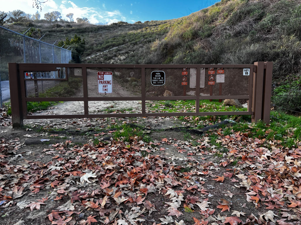
The Laguna Bowl Trail entrance.
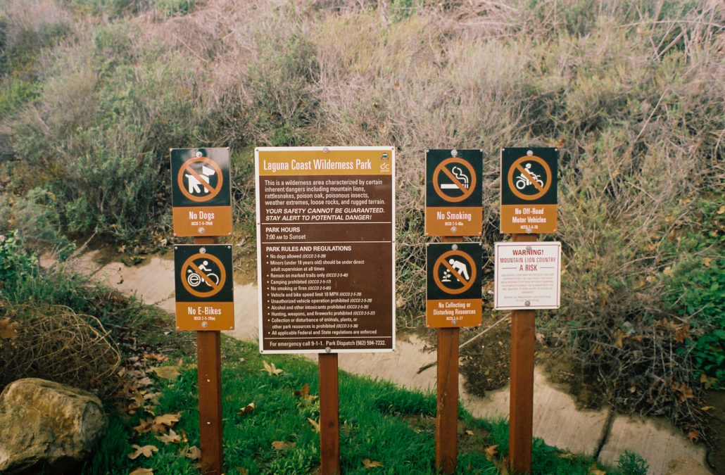
Warning and other cautionary signs. Don’t let these scare you off! Shot on Kodak Portra 400 film.
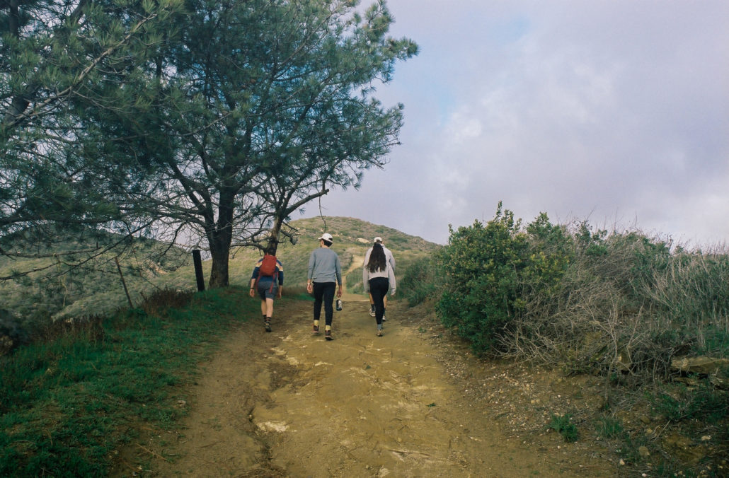
There is no easing into this hike, as you are immediately greeted with a steep incline. Switchbacks are notably not present on this hike. Don’t get too discouraged though, as the views make this leg-buster section worth it. The city and coastline below become increasingly more stunning the higher you climb – if you remember to turn around.
The steep initial incline. Shot on Kodak Portra 400 film.
At the 0.6 mark, the severity of the trail’s slope begins to drastically lessen as most of the uphill is now behind you. When we went, there was a constant breeze that kept us cool during this exposed, high-exertion segment. During the hotter months, however, plenty of water and sun protection is recommended.
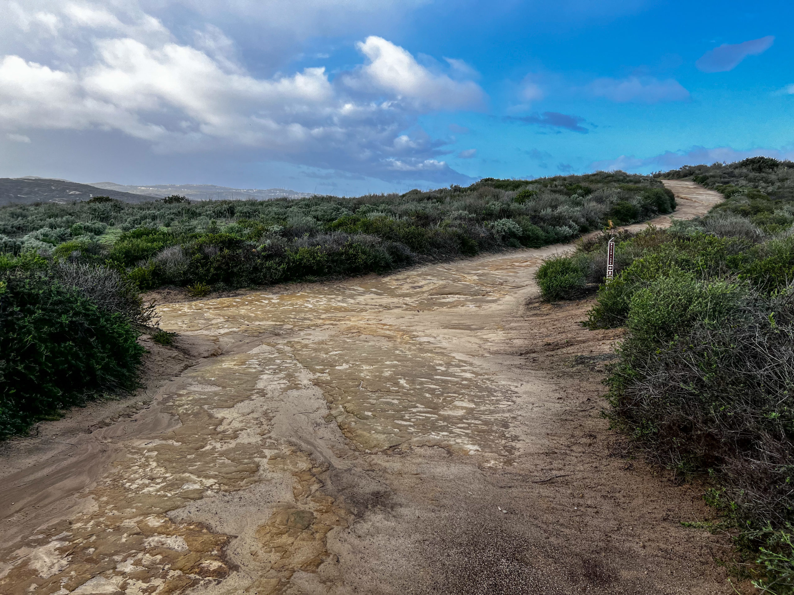
You will encounter a few offshoot trails at the 0.8-mile mark. Continue straight to stay on the correct path. Then at one mile, turn left at the Bommer Ridge Trail marker.
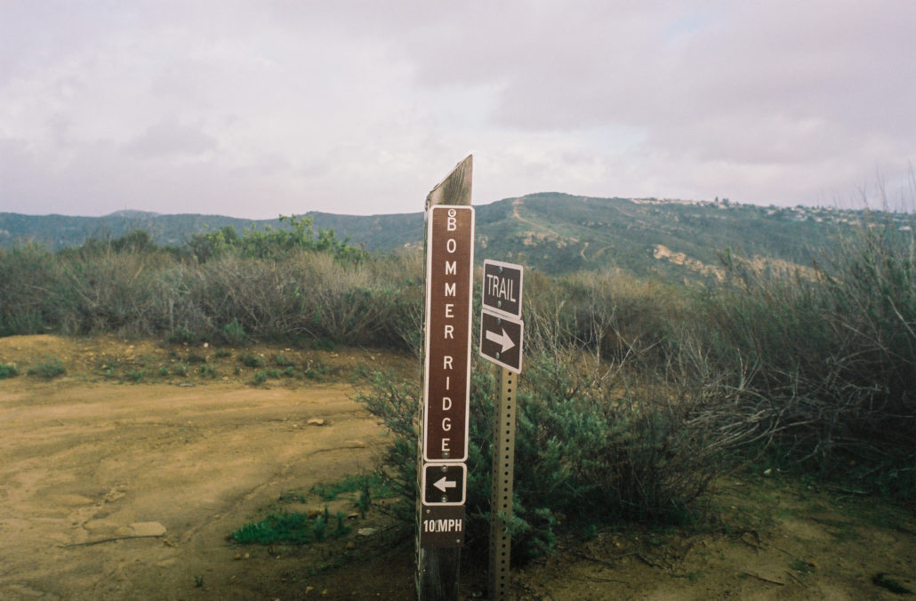
The Bommer Ridge trail sign. Shot on Kodak Portra 400 film.
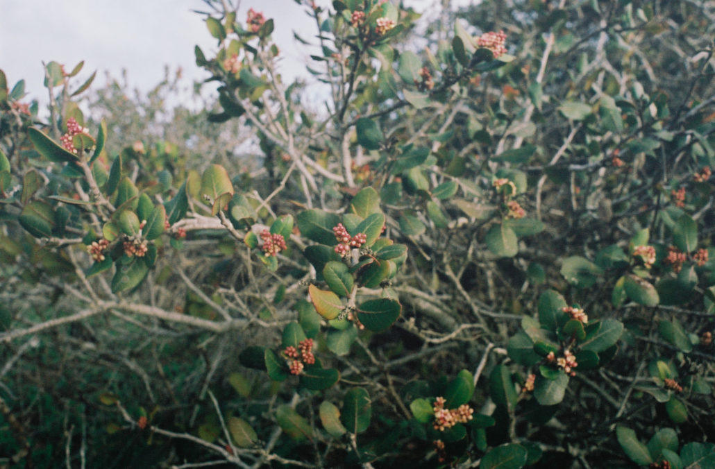
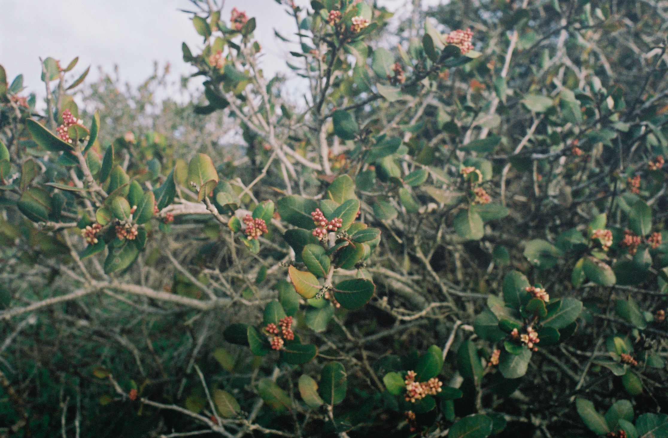
A Lemonade Berry plant. Shot on Kodak Portra 400 film.
As you hike along the ridgeline, enjoy both expansive views of the rolling hills around you and native California plants such as the Lemonade Berry and Prickly Pear Cactus just a few feet from the trail. You’ll cruise for an additional 0.7 miles before reaching a sign for the Water Tank Trail.
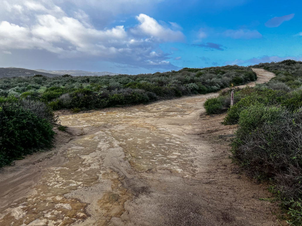
the Laguna Bowl Trail and Water Tank Trail junction.
At this point, you can either follow this marker and turn left to continue the loop or take a 0.1-mile detour to reach the Laguna Ridge highpoint, which sits at a modest elevation of 908 feet above sea level. If you decide on the latter, continue straight, and turn right at the Laguna Ridge Trail marker. You’ll soon approach a Geodetic Survey Marker, one of many geographic reference points located across the United States that are crucial to the country’s mapping efforts. While the view isn’t much different from before, finding this fun artifact of American ingenuity makes the short diversion worth it. Turn back the way you came to reconnect with the Water Tank Trail.
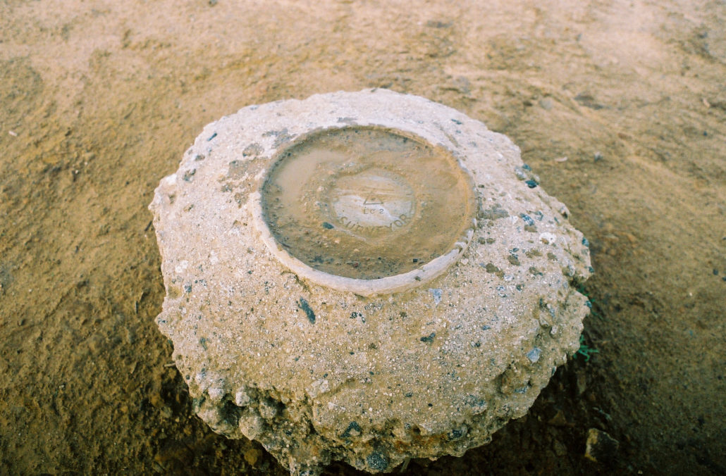
The Geodetic Survey Marker that indicates the Laguna Ridge highpoint. Shot on Kodak Portra 400 film.
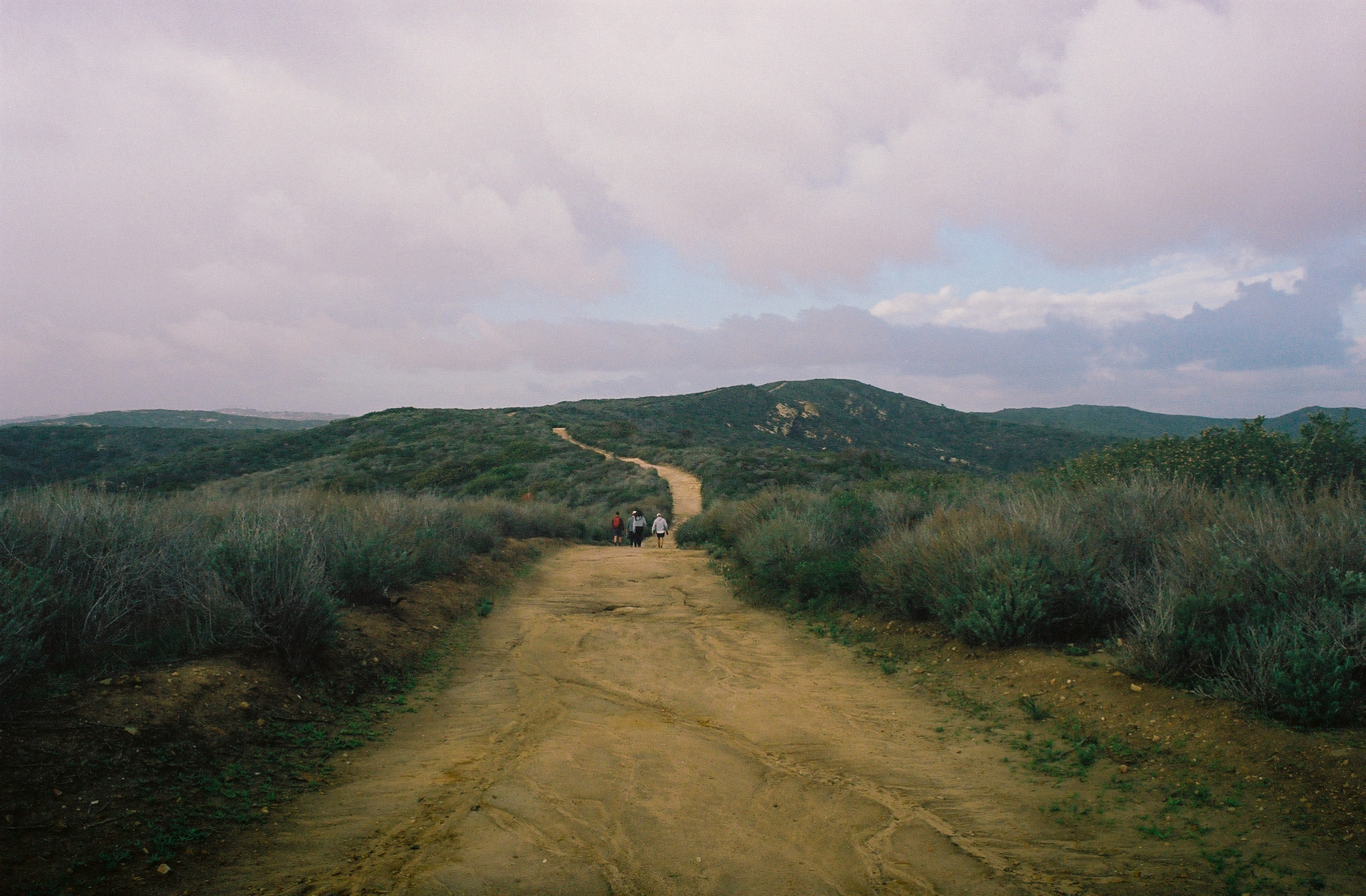
As you begin the second half of your loop, you’ll continue to be treated with easy hiking along gradual rolling hills. At the 2.6-mile mark, continue straight to avoid the private offshoot trail on your left.

Cruising along the rolling hills of the Laguna Coast Wilderness Park. Shot on Kodak Portra 400 film.
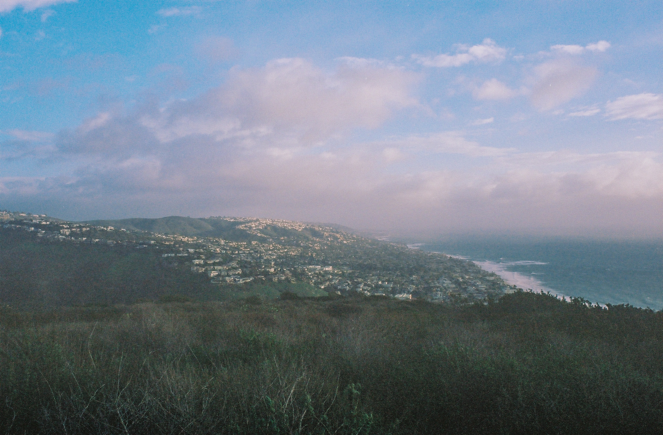
This trail begins to flaunt its grandeur at three miles, as it opens up and gives hikers unobstructed views of the gorgeous homes that dot the coastline and the hills, juxtaposed with the expansive and unending Pacific Ocean. If you can, I highly recommend hiking this trail in the late afternoon on a clear day, as you’ll be treated to a sunset that will illuminate this already magical scene with a warm orange glow. Unfortunately for us, neither the conditions nor our timing made this possible. Nevertheless, the vistas are breathtaking on their own and make this hike easily worth it anytime. Make sure to continue to pay attention to the trail in front of you though, as this section is steep and it’s easy to slip if you’re not careful.
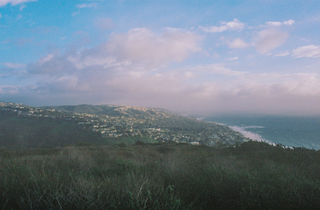
One of the many views of the city and coastline descending the Water Tank Trail. Shot on Kodak Portra 400 film.
At 3.3 miles, veer left when you see the communication towers to stay on the trail, which quickly turns into a paved road. Continue for another 0.2 miles until you reach the driveway gate. Then, take the pathway to your left to exit onto Poplar Street. You will be walking through the local neighborhood for the final 0.6 miles of this hike. Follow Poplar Street and then make lefts at High Drive, Acacia Drive, and Broadway Street to complete the loop.
As a reward for your efforts, head over to the many shops and eateries that are within walking distance from the trailhead. Or if you want to cool off and relax, Main Beach is only a half mile away.
Tags: Laguna Beach, Laguna Coast Wilderness Park, Orange County