The San Francisco Peaks is a mountain range in Flagstaff, Arizona that is home to the triumphant Humphrey’s Peak. This peak, standing at an elevation of 12,633 feet, is the tallest summit in the entire state of Arizona — and on this hike you’ll start off in a flat meadow, climb through a shaded pine forest, then walk along the desolate mountain ridge itself before you reach that towering peak, enjoying a spectacular and iconic journey and incredible views along the way.

The Beginning

The Middle

The end
Roundtrip, this hike is about 10 miles, which may not seem that bad but the hike can be brutal due to elevation and frequent changes in the weather. If you’re like me, a lowland hiker from Phoenix, it is a good idea to get to Flagstaff and spend a day or two getting acclimated to the elevation change. Phoenix is at about 1,086 feet above sea level and hiking your way up to over 12,000 feet can definitely cause you to experience elevation sickness.
Take breaks when needed, know your limits and if you have to turn around, then turn around. The mountain will still be there waiting for you at a better time. If you’re used to high elevation hiking, then this hike will likely be a breeze for you. Just remember that at this high elevation the weather can quickly change and if you see lightning or hear close thunder, it’s probably best to just turn around and try again during better weather.
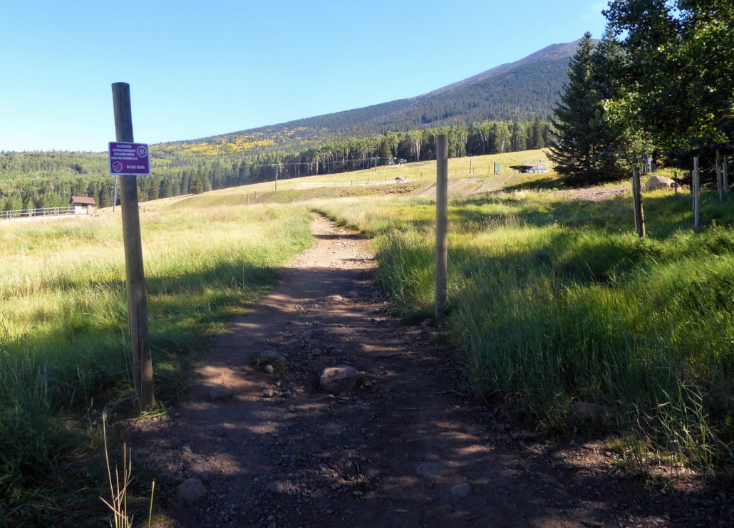
The trailhead is located at the Arizona Snowbowl, which is a popular ski resort. This area offers numerous parking spaces and you will see signs indicating where to park for Humphrey’s Peak Trail. (If hiking this trail during the winter, a permit is required) This trail begins in a fairy tale like meadow, full of tall thick grass and wildflowers surrounding you.
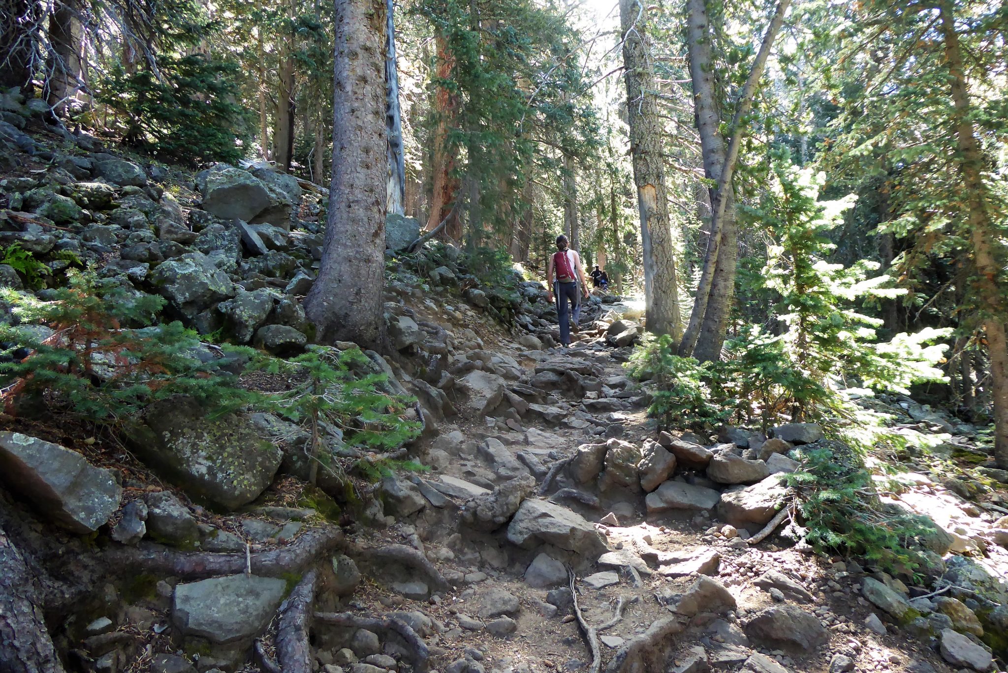
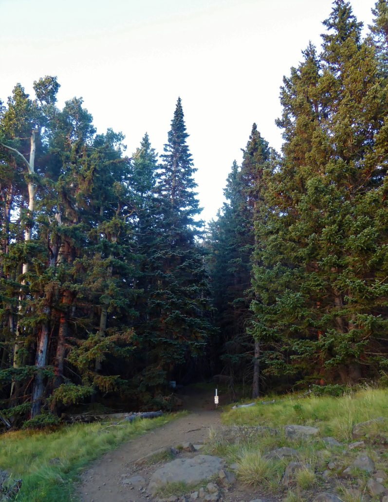
The path will lead you straight into a dense forest that surrounds the open meadow. At about this time, the dirt trail will begin a gradual incline with tall pine trees hovering above you and providing a lot of shade.
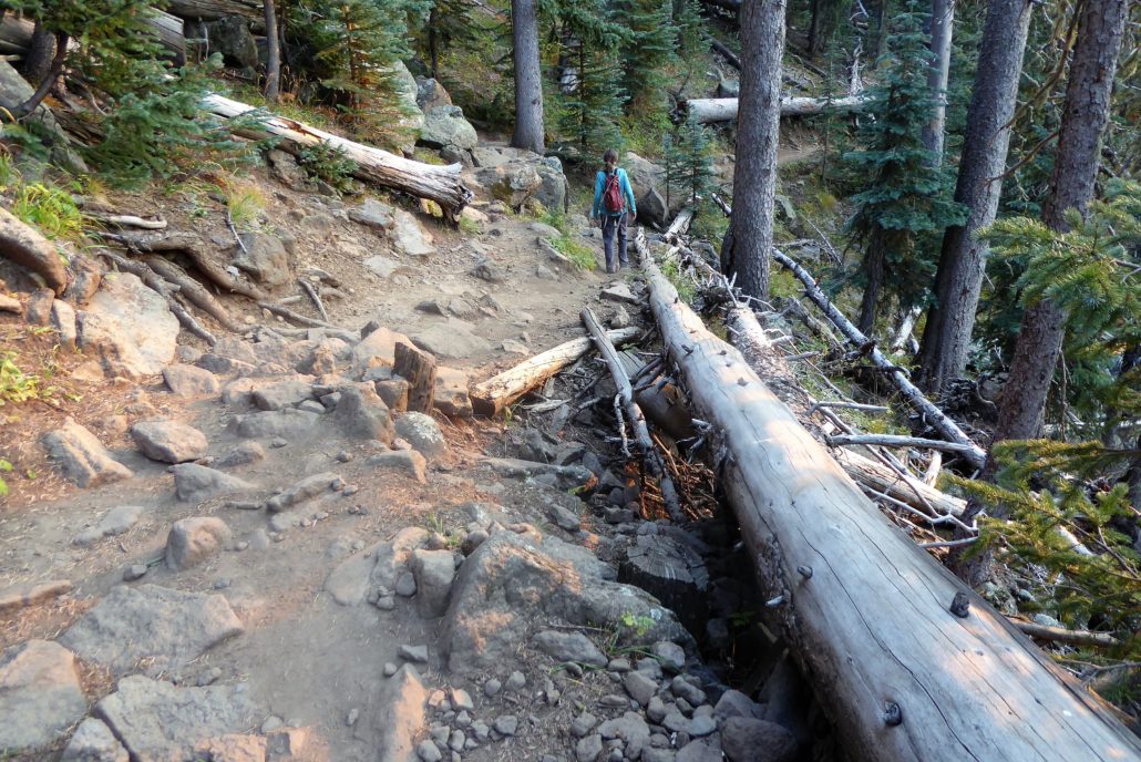
Along the way, you will see fallen pine trees along the trail route in which in some areas you will have to hike around.
There is generally a lot of wildlife in this section — chipmunks, squirrels and birds all adding to that wonderfully soothing music of nature.

For the most part the trail is surrounded by dense pine trees encompassing you. But every so often you’ll have moments of open gaps where you can look out between the pine trees and see outward onto the other surrounding peaks. It’ll give you a nice reminder of what kind of landscape you’re hiking in just in case your legs aren’t getting too sore from the incline yet.


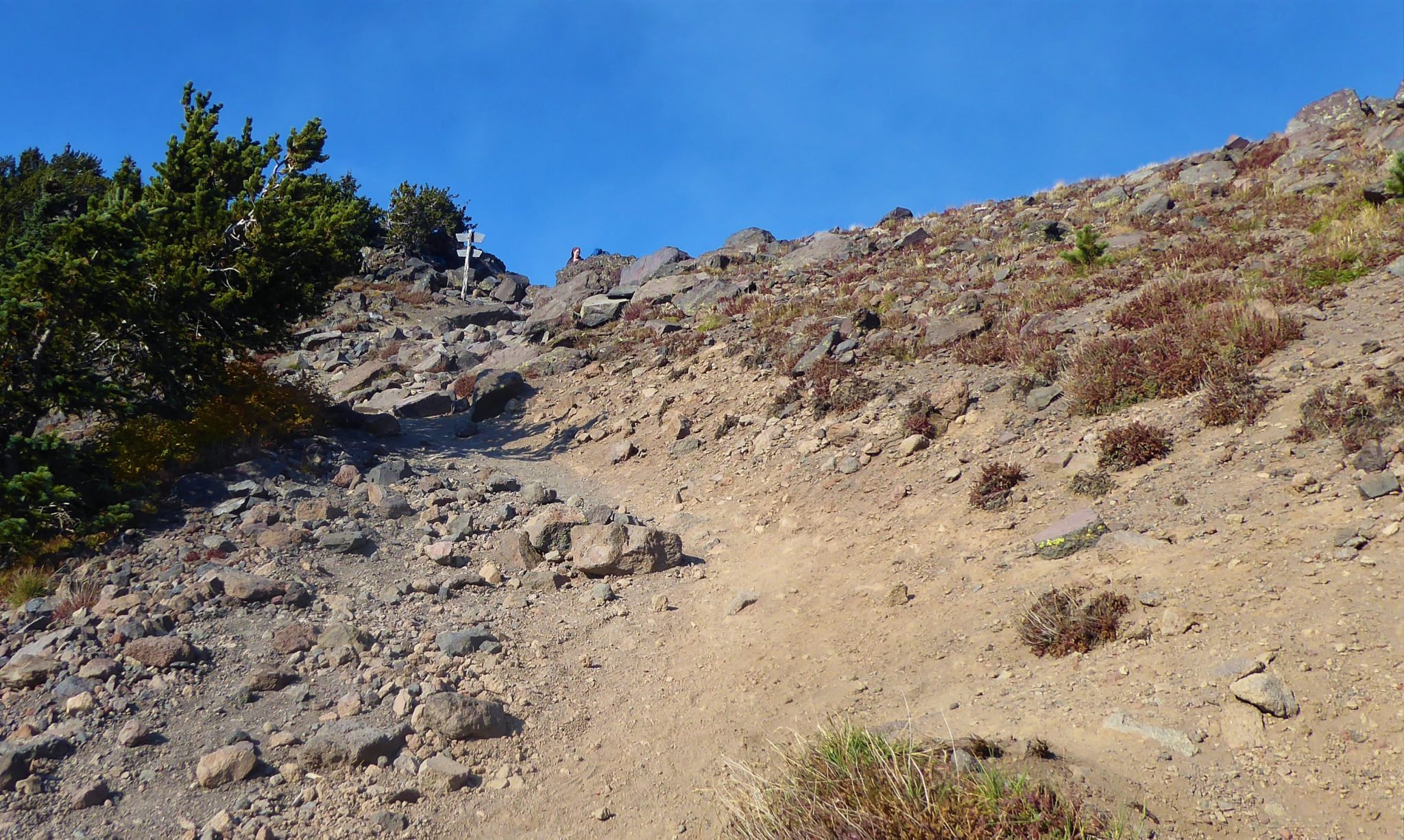
At around 3 miles in, the incline levels out a bit as you climb up and out of the forested area. As you make the hike up along a dusty dirt route, you will come to an intersection at the saddle. From here you will see signs directing hikers toward various hiking trails and the continuation of Humphrey’s Peak will be located to the left.

Approaching the Saddle
This saddle area shows you the first 360 degree open space view of what’s around you. This area offers a few rocky spaces to pick a seat and relax before going forward toward the summit. Trust me, you’re going to want to fuel up and take a little break because this last portion up to the summit is the hardest part of the hike.
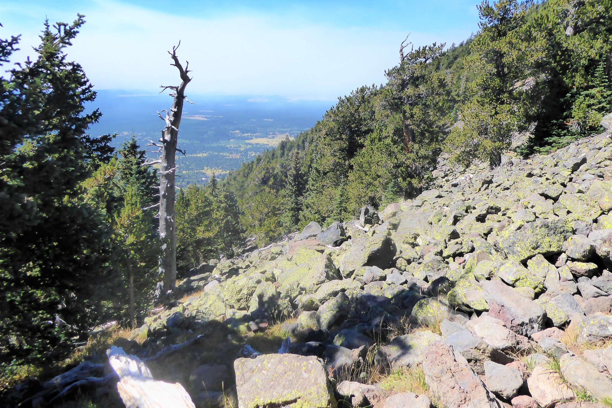
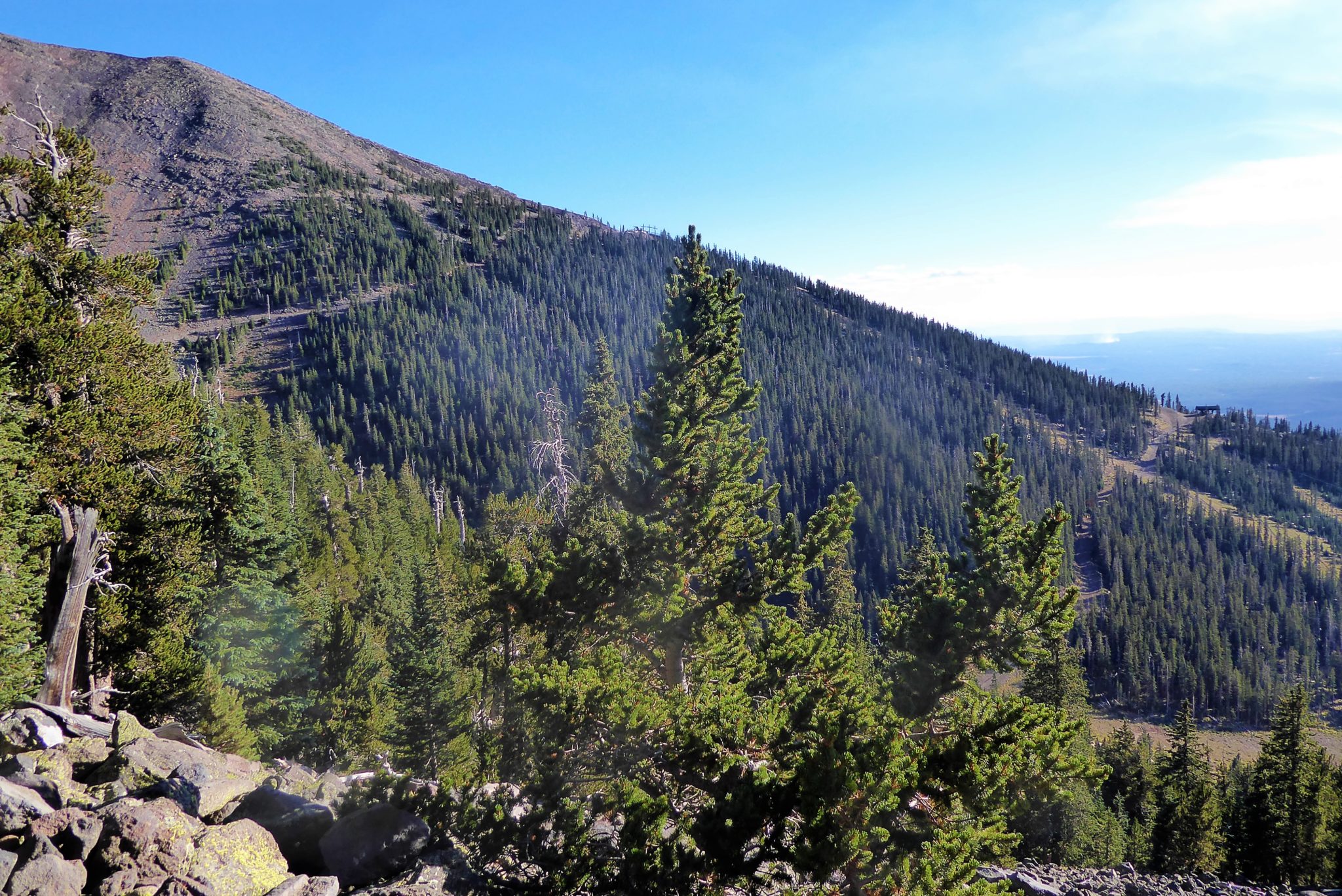
From this point you are walking along the ridgeline of the mountain. Those once shady pine trees are long gone below you and there is nothing left to protect you from the elements. It’ll be colder up here, so be sure to bring some warmer layers along with you.
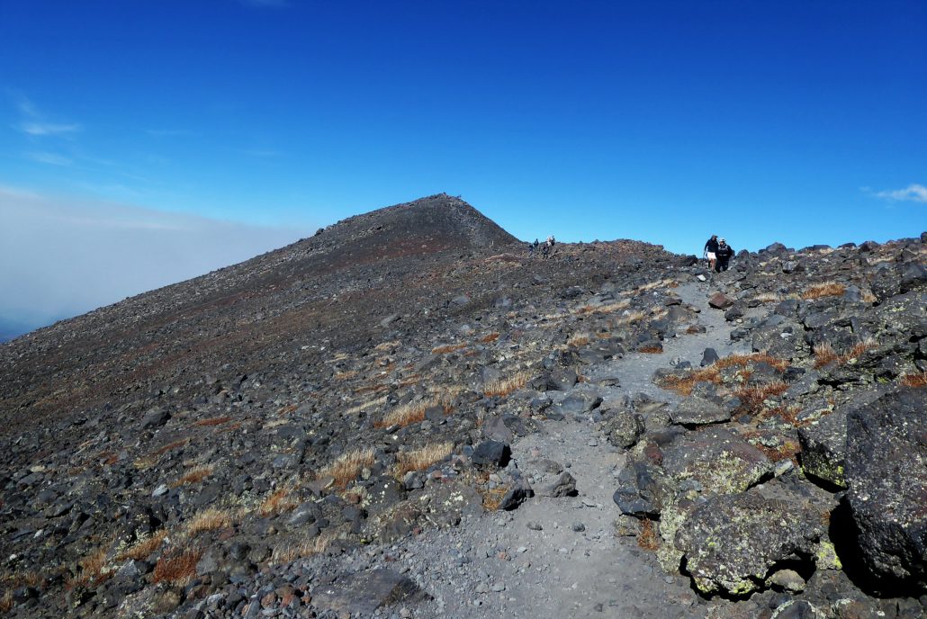

There is nothing technically difficult during this last section but due to the elevation you’re likely to see numerous hikers having to pull over to catch their breath (myself included). Even very fit athletes are going to have a slower time up here due to the lower amounts of oxygen in the air. This portion is also not a direct route up and will have numerous curves around the mountain. Therefore you may experience false summits making it seem that you are just about to reach the top…but then you’ll see the trail keeps going further.
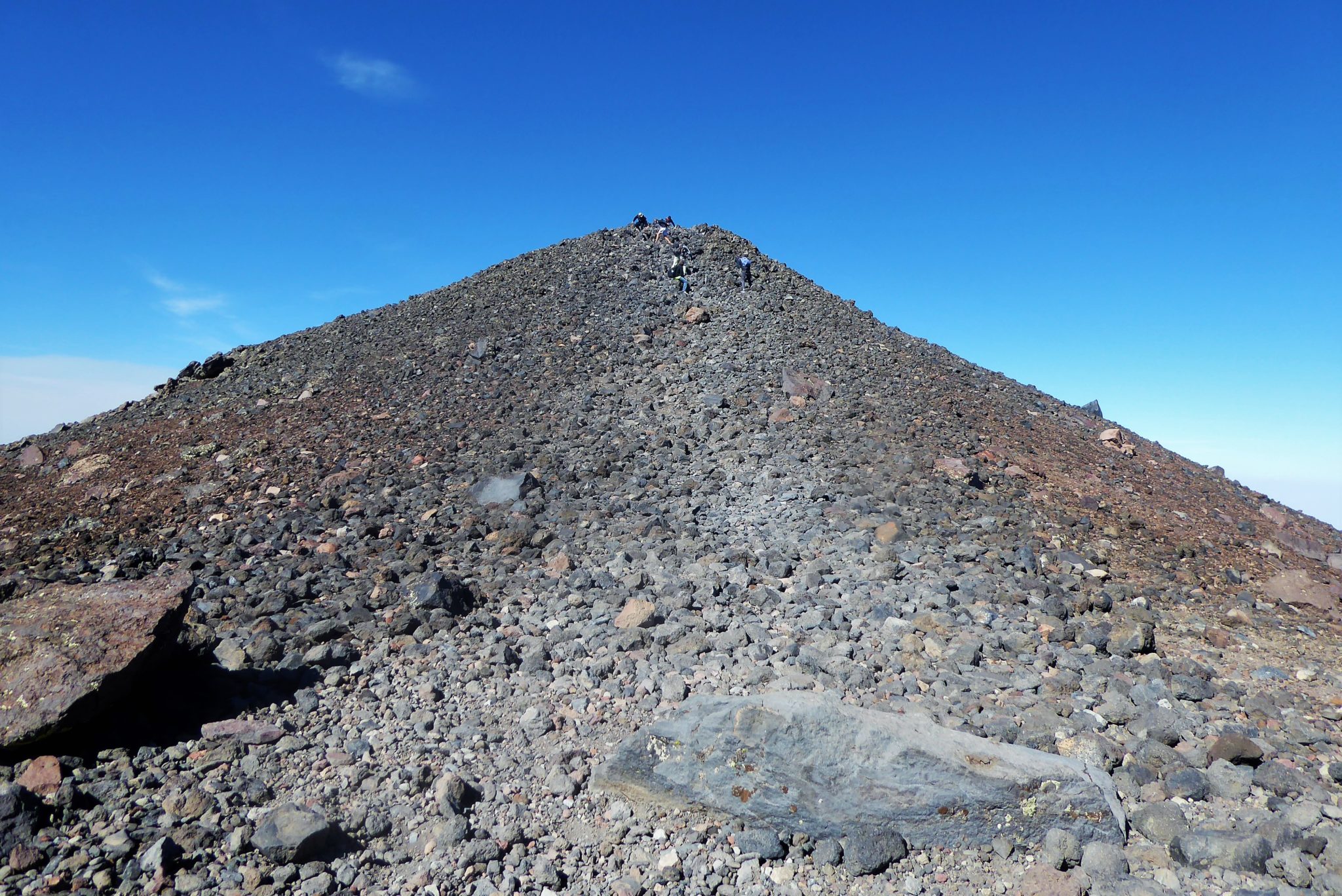
The true summit will have a pile of loose rocks that you will hike up to get to the top.

The final ascent
Upon reaching the top you’ll see the Humphrey’s Peak trail sign that so many other victorious hikers have taken pictures with. So be sure to join the club and stand in this spot!
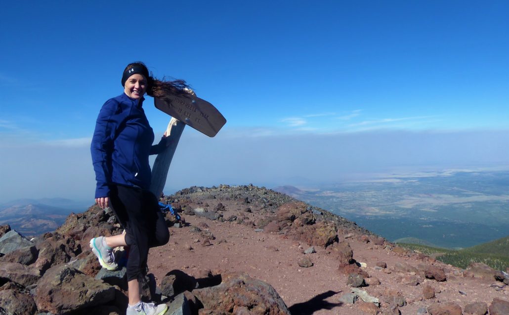

The view upon this summit incredible. For the moment, there is no where else to go and you are the only object between the land and sky. Relish in your victory, enjoy the scenery and enjoy the hike back down.
Tags: Arizona, flagstaff, hike, Hiking, Humphrey, Humphrey's Peak, peak, Phoenix, trail