Just west of the busy Rock Creek Recreation Area, the quieter Hilton Creek Drainage features a sextet of alpine and subalpine lakes. The Hilton Lakes Trail reaches the four largest and most attractive of the lakes, which are called both the “Hilton Creek Lakes” and the “Hilton Lakes” depending on whom you are talking to. Suitable for a dayhike or two-to-three day backpacking trip, the Hilton Creek Lakes present a pleasant alternative to the much busier Morgan Pass and Mono Pass Trails on the south end of the recreation area.

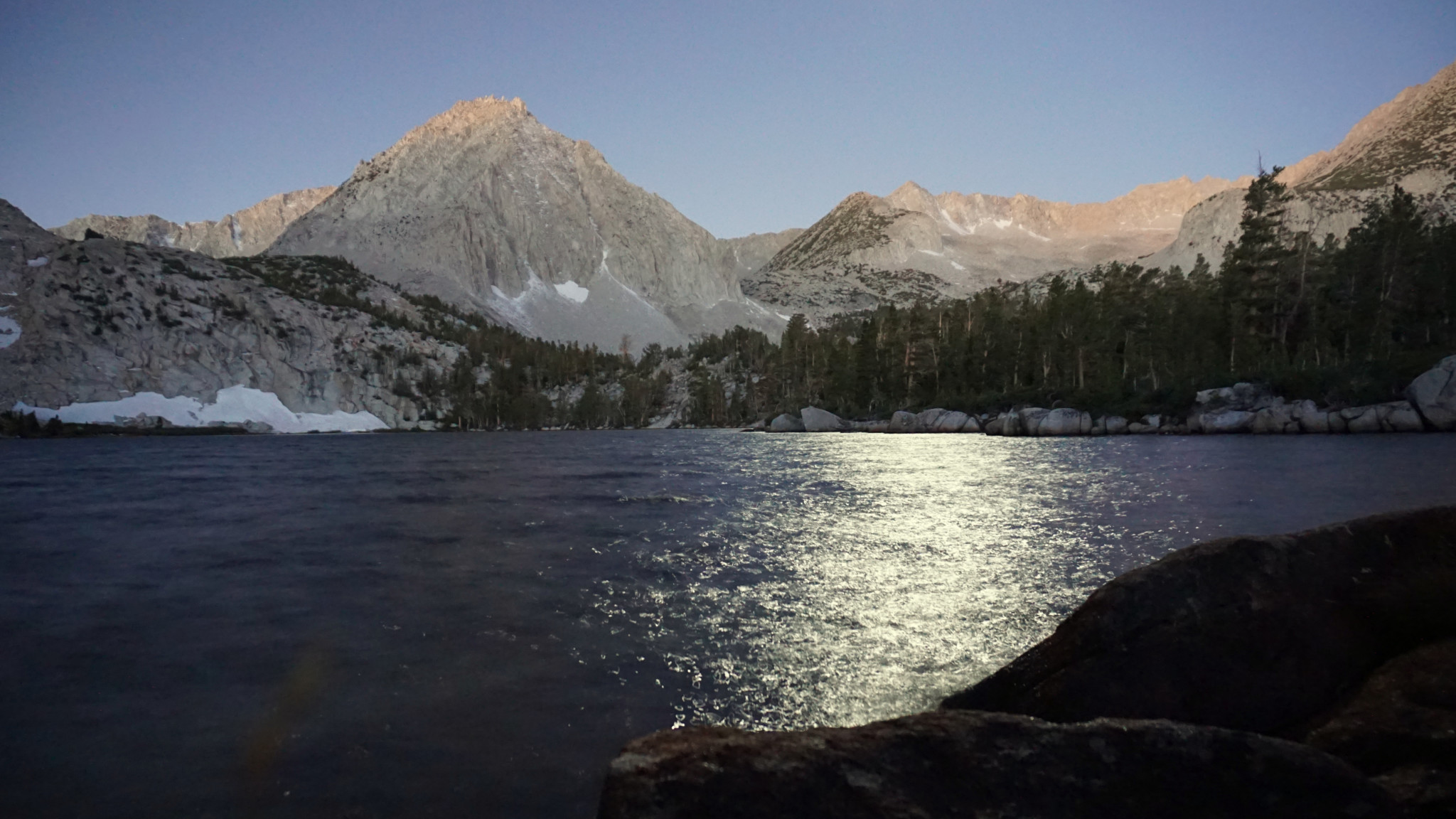
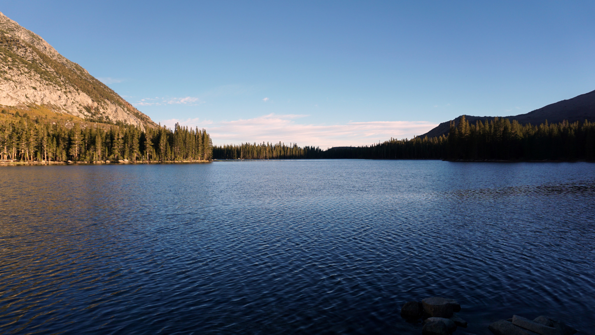
Lake 3 by moonlight
Like other hikes in the Rock Creek Area, the trail to the lakes starts high and therefore does not require as much strenuous effort. In fact, a 12 mile hike with only 2,000′ of elevation gain in a landscape that seems to go upward until it reaches the moon is something of a unicorn. That said, there are a couple of significant challenges to note on this route. First, the trailhead lies at 9,866′ of elevation. Hikers that haven’t acclimated properly may experience altitude issues. Secondly, this is one of those hikes that rises and falls multiple times along the way. Rather than gaining all of your elevation on a steady uphill gradient, you will gain some, lose some, gain some, lose some, gain some, and then lose some before you repeat the whole process in reverse. Although the difficulty that comes with this sort of hiking is mostly psychological, it seems like more work than it would otherwise.

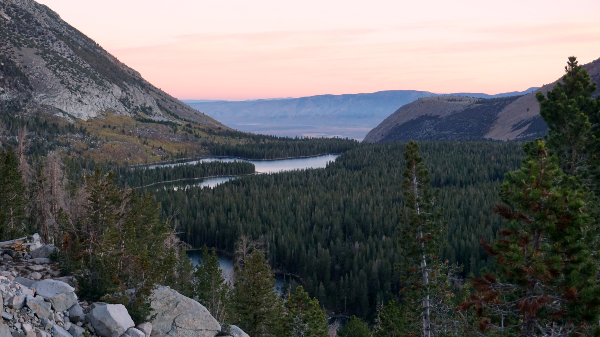
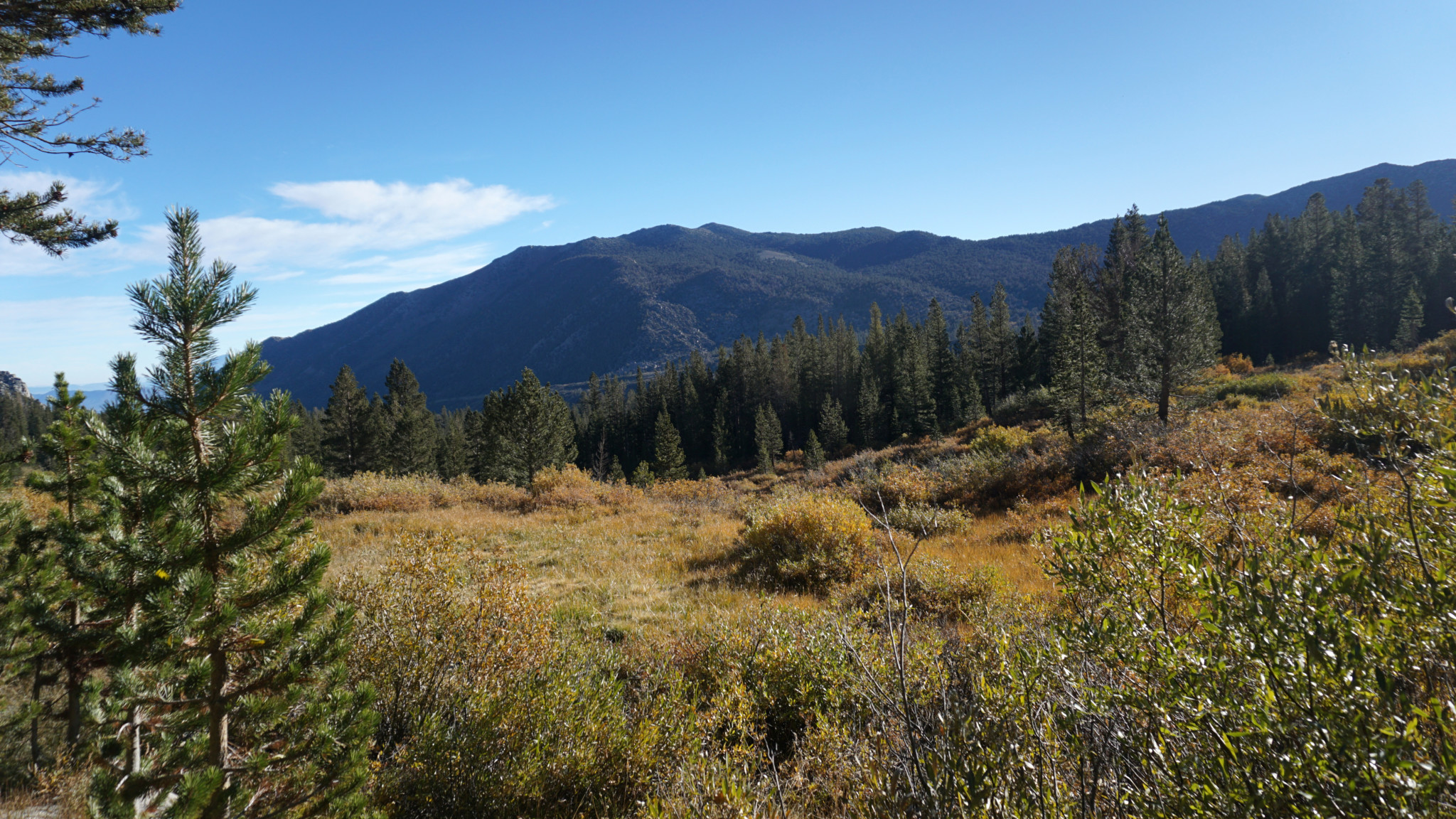
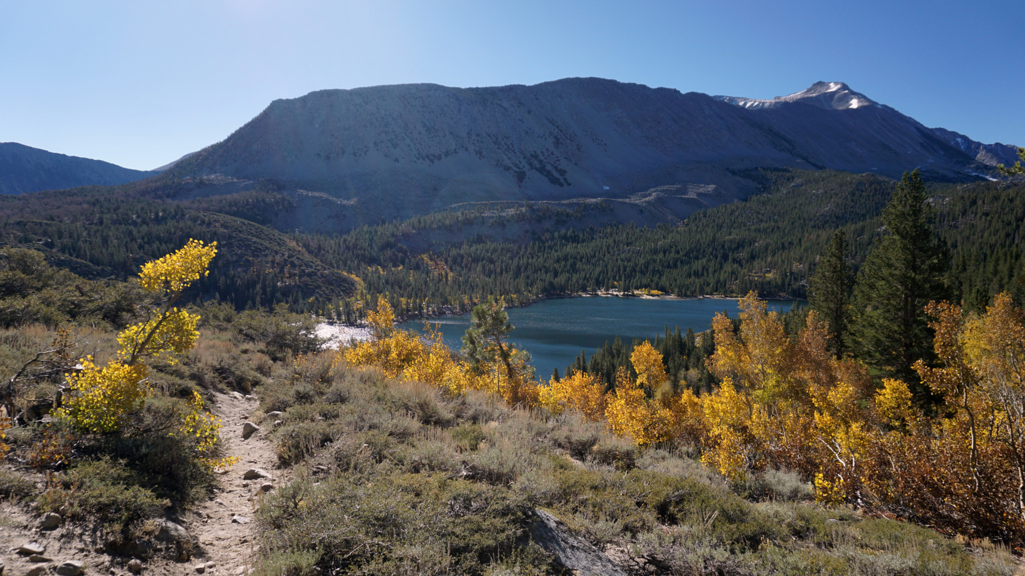
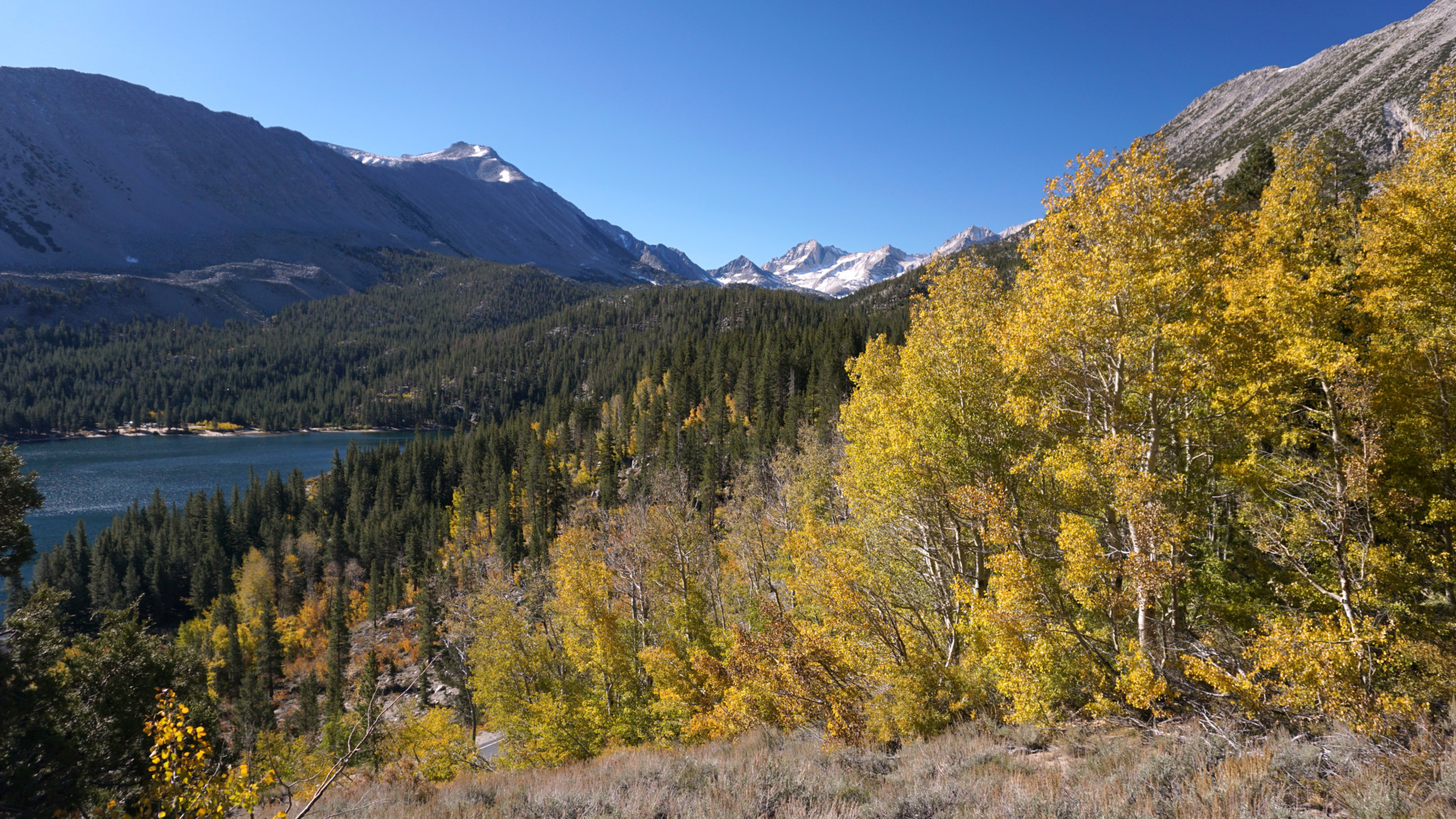
Fall color and Rock Creek Canyon
Also note that backpackers will require a wilderness permit to camp overnight at the lakes. To obtain a permit, you can visit Inyo National Forest’s wilderness permit page hosted on Recreation.gov (find the link below under the “camping” section). You can reserve your permit in advance and then pick your permit up either in White Mountain Public Lands Information Center in Bishop or at the Eastern Sierra Interagency Visitor Center in Lone Pine.
After backtracking from the parking area for about 50 yards, step onto the trail adjacent to the Hilton Lakes Trailhead sign. Begin a short climb through aspen and lodgepole forest that switchbacks a few times to gain views over Rock Creek Lake some 300′ below. The short climb ends after 0.5 mile where the trail then begins a gentle descent along the western rim of Rock Creek Canyon. You gradually lose all of the elevation you gained on the initial climb before you reach a junction with a poorly maintained connector trail that drops sharply down to Pine Grove Campground at 1.2 miles. To compensate you for your loss, you can enjoy the combination of colorful aspens (fall only) and pleasant views up and down Rock Creek Canyon.
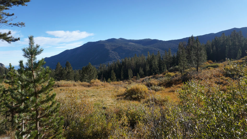
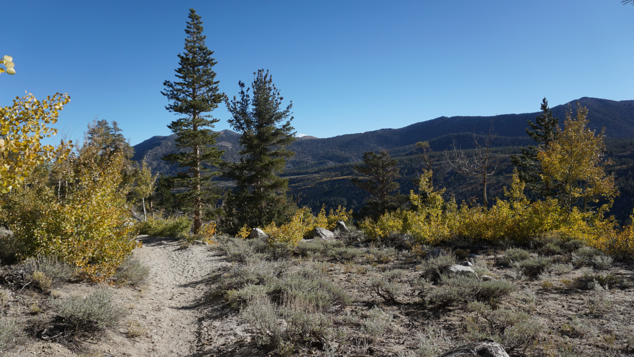
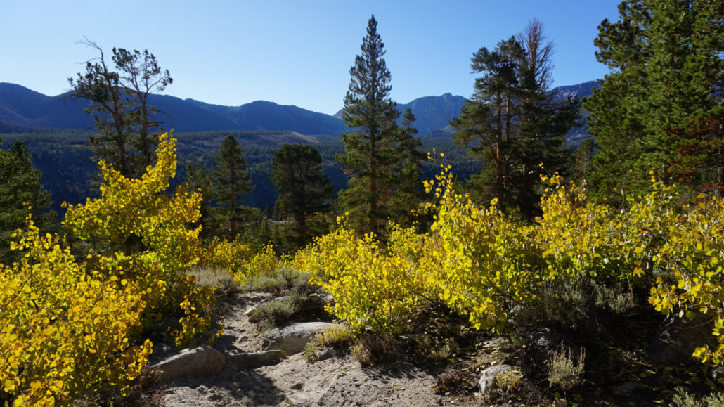
From the junction, continue north along the canyon rim until you dip into a shaded, creek-lined ravine. After climbing out of this ravine, the trail begins arcing to the west before taking a definitive turn to the west just beyond a broad, sloping meadow. Beyond the meadow, the trail begins a moderate climb up and over the ridge that divides the Rock Creek and Hilton Creek drainages. Lodgepoles and whitebark pines are often the only vegetation here. Many of the whitebark pines appear to be suffering under the onslaught of pine beetles. Whether this is drought related or perhaps an occurrence of white pine blister rust, I do not know. However, it is a bit of a downer to see so many dead trees.

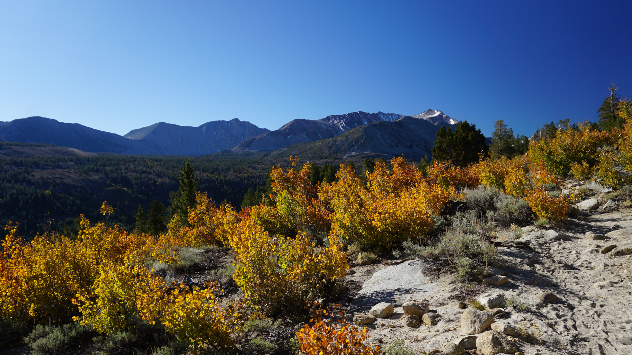
Looking toward Lake 2 and Davis Lake
Upon the precipice of the dividing ridge, the trail drops sharply down to a 3-way junction at 4.4 miles. The left fork leads to the 3rd, 4th, 5th, and 6th Hilton Creek Lakes. The right fork leads to the second lake and Davis Lake. Let’s assume that you are going left here. Not only is it good to get the steepest climb of the hike out of the way while you are relatively fresh, but the 3rd and 4th lakes are also the most beautiful. If you want to keep the hike a bit shorter, the Davis Lake spur is the part you’ll want to sacrifice.

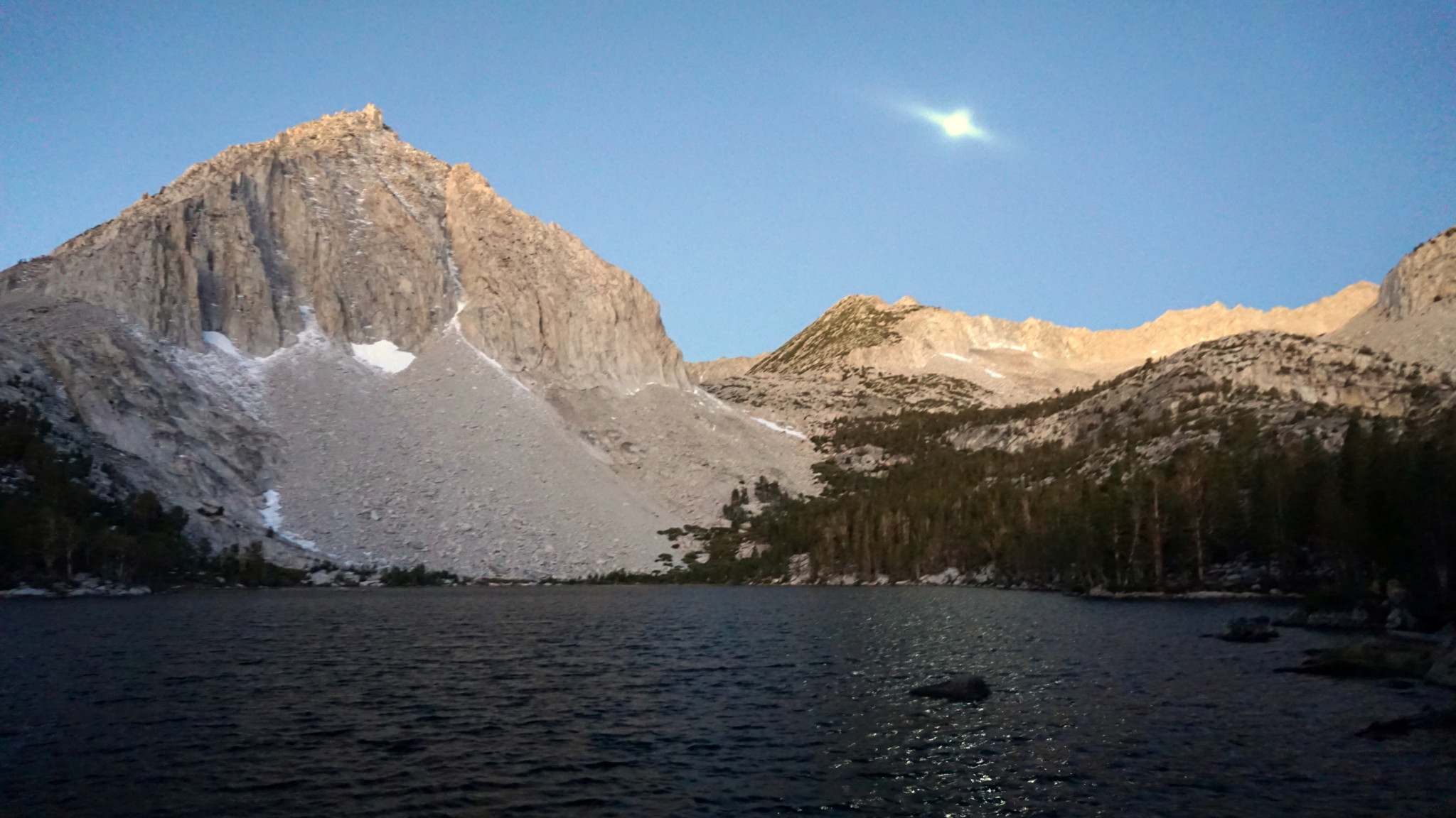
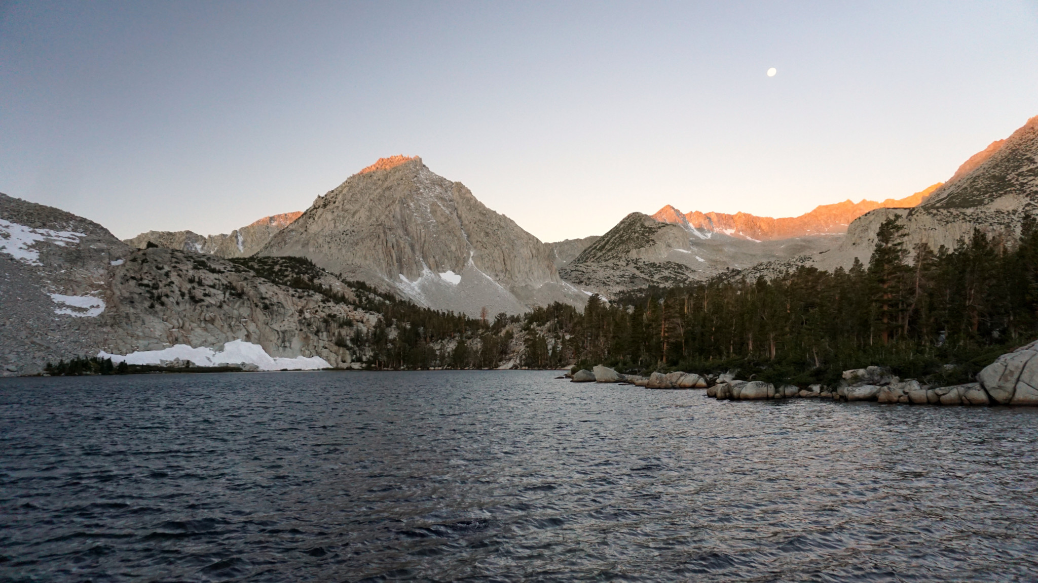
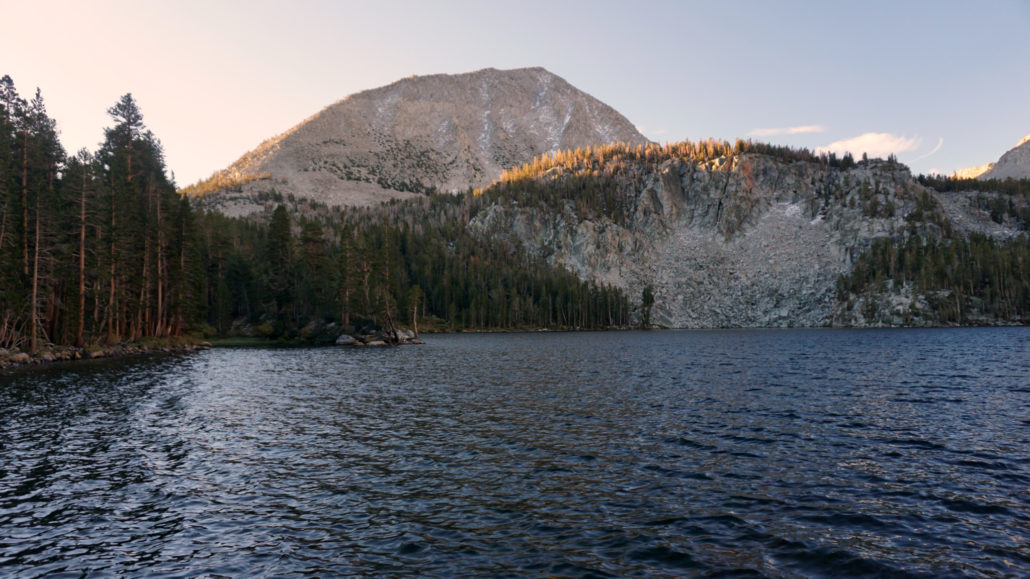
Lake 3
From the junction, climb along a rocky slope, gaining 200′ in 0.2 mile. The climb tops out at the outlet of lake three (4.6 miles). Turn left at an informal path just before the rock hop across the outlet to reach the lake’s shore. The towering form of Mt. Huntington dominates the background of this picturesque lake. Campsites can be found either east of the outlet or further along the trail as the trail skirts the lake’s western banks. To reach the 4th lake, continue along the trail as it skirts a soggy meadow before a brief climb to the banks. The trail ends here, but you can pick your way along the banks to find more campsites.

Lake 4
In case you’re wondering about lakes 5 and 6 (and there are actually more than that), you will have to work your way across country to reach those if you are determined. I did not scout that far myself, so I can’t say much about them other than that there’s a promising unmaintained path marked by cairns between Lake 3 and Lake 4 that looks like it climbs to the 5th lake. Older topos show this trail, but from what I saw on the ground it was abandoned a while ago. You’ll need a topo map and good nav skills to reach the rest of the lakes.
Lake 2
To reach the last (technically, first) two lakes, backtrack downhill back to the 3-way junction and continue heading roughly north on a gentle decline through surprisingly lush – at least for the Eastern Sierra – forest. After passing a small pond 0.2 mile north of the junction, keep your eyes peeled for a fairly obvious spur trail that heads southeast from the main trail after 0.6 mile from the junction. This spur trail will lead you southwest to the shore of lake 2 where you will also find a number of fair campsites.

Davis Lake
Your final destination, Davis Lake, lies another 0.6 mile north from the spur trail to lake 2. You will have to follow a second unmarked trail as it splits away from the main trail. This informal trail becomes a little vague as you approach the lake, but it’s always pretty obvious which way you should go. The banks of Davis Lake are very appealing for a lunch break before commencing the long hike back to the trailhead. If you are camping here, you could enjoy a leisurely circumnavigation of the lake which would include the intriguing peninsula that juts into the lake’s southern end.
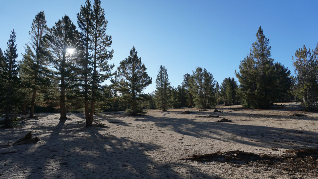
Lodgepoles and whitebark pines
The return trip feature more ups than downs, which is a bit unusual for any hike. For this reason, be sure to monitor your energy levels to make sure you don’t find yourself depleted on the return journey. The same gorgeous views, colorful aspens (in season), and classic Sierra scenery await on the return journey to cheer you on.
Tags: aspens, Davis Lakes, fall color, Hilton Creek Lakes, Hilton Lakes, Inyo National Forest, John Muir Wilderness, Rock Creek, Rock Creek Lake, Rock Creek Recreation Area