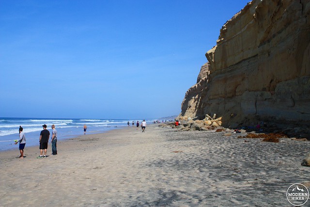
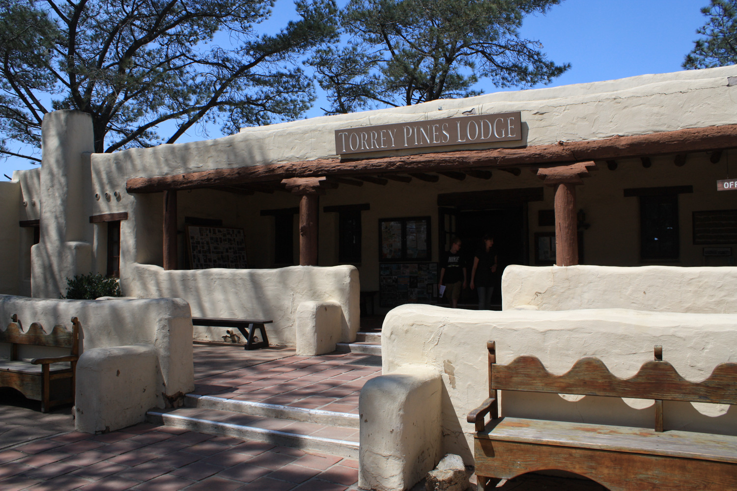
Torrey Pines State Natural Reserve consists of two parts – a gorgeous state beach with an epic backdrop of wind-and-rain sculpted badland cliffs; and a reserve of one of North America’s rarest trees – the Torrey Pine – on a network of trails that meander through those badland cliffs.
Both sections of the park are extremely popular – especially on the weekends. Be prepared to see crowded parking lots, cyclists and joggers, families, and beachgoers all trying to enjoy the same 8 miles of trails and additional paved roads and beaches. Don’t come here expecting solitude or quiet, but if you come looking for some striking beauty you will not be disappointed.
The parking near the entrance off N. Torrey Pines Road seems to be primarily for beach-goers and people who want to include a jog or bike up the paved incline as part of their fitness routine. If you don’t want that, there is additional parking in lots near the Visitor Center and Museum and a few dirt spaces for parking near the trailhead for the Guy Fleming Trail.
The route described here begins a bit further up the road near the Visitor Center parking. There are water fountains and bathrooms near the Razor Point / Beach Trailheads, as well as a trail map with photos and – if you’re there on the weekends – likely an information booth hosted by some of the park’s excellent docents.
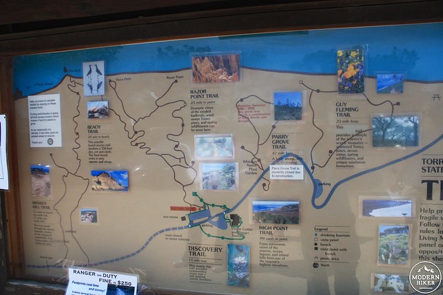
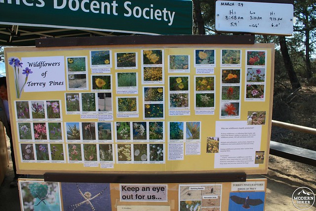
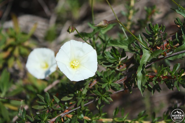
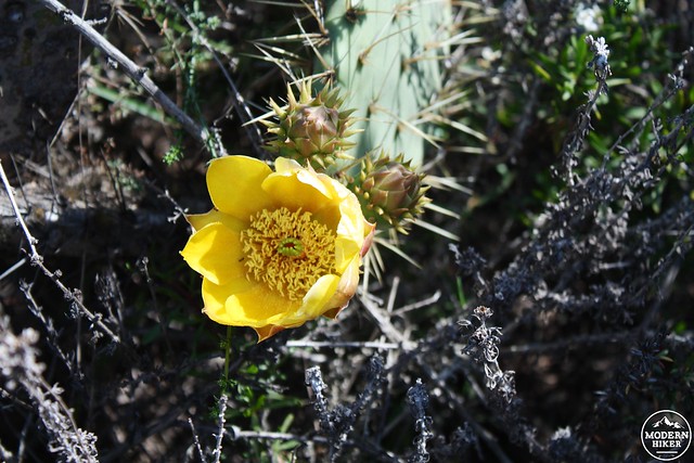
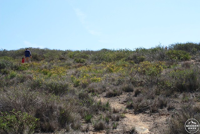
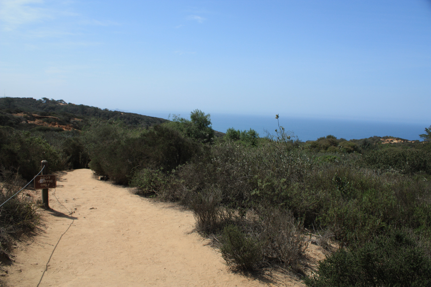
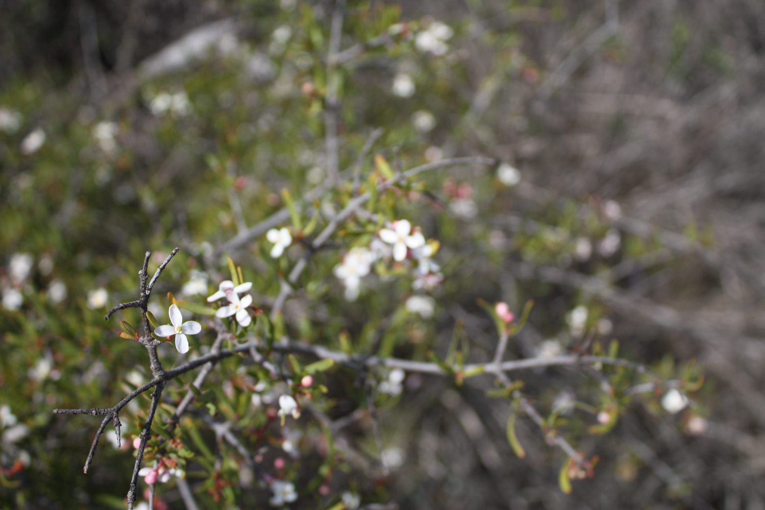
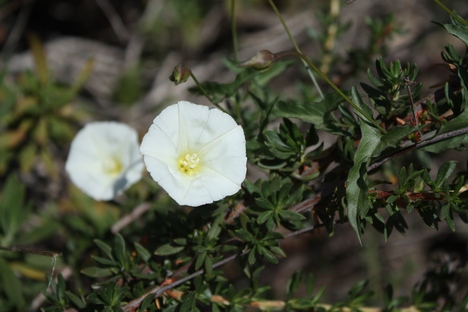
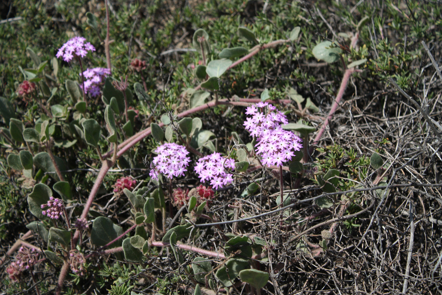
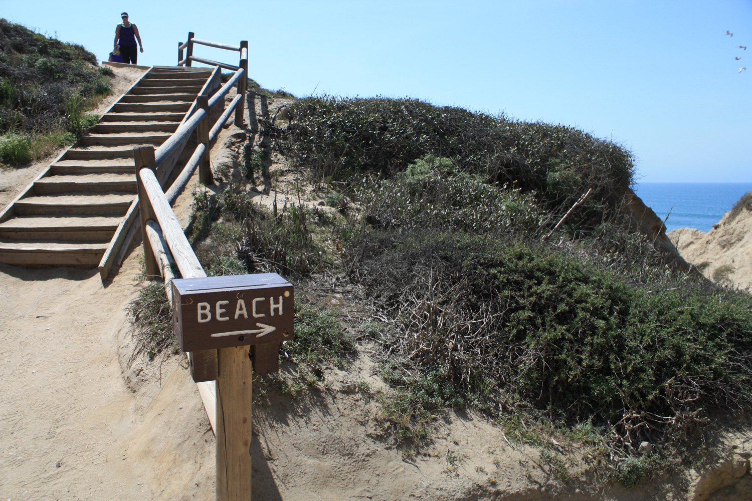
Once you’ve had your fill of information, it’s time to start hiking. The Beach Trail is the most heavily-trafficked route in the park so you’ll have company as you start down that path – a lovely chaparral-lined descending path that, in the spring, may have some surprise wildflowers hiding in the brush.
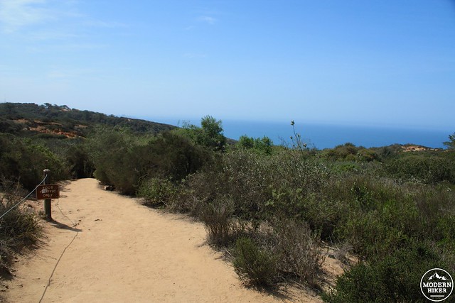
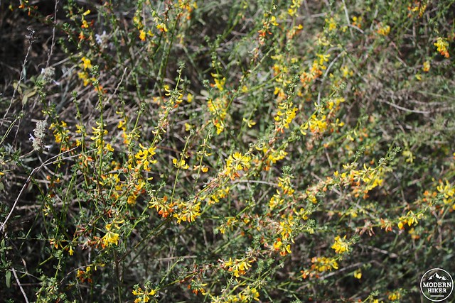
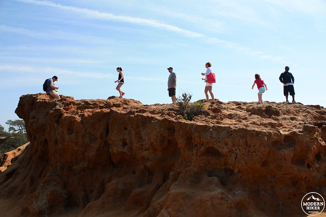
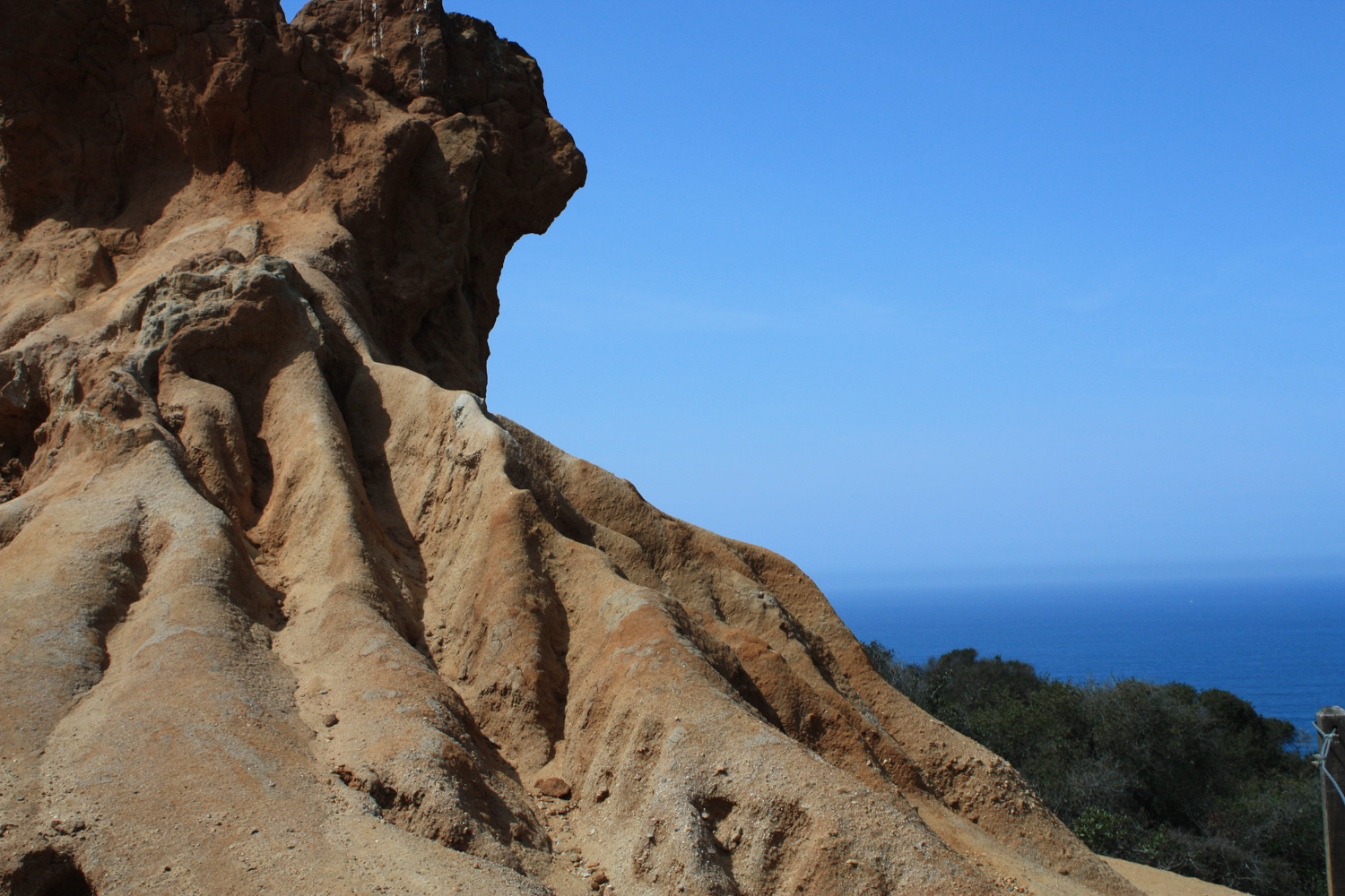
The trail splits at a junction near the trailhead. Stay on the Razor Point trail by keeping right, and very soon you’ll see the aptly named Red Butte formation:
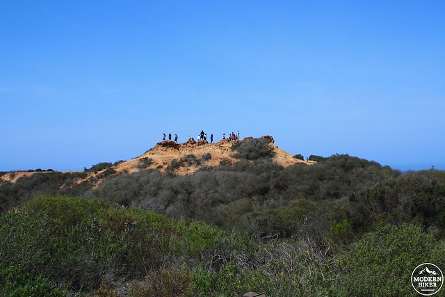
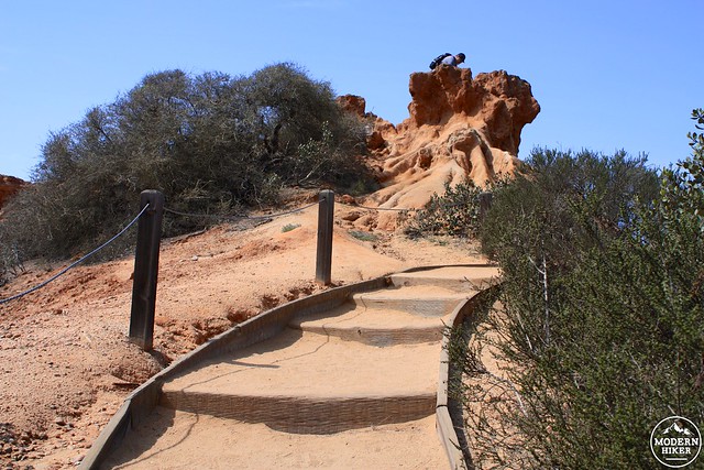
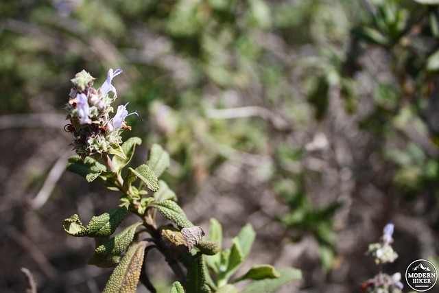
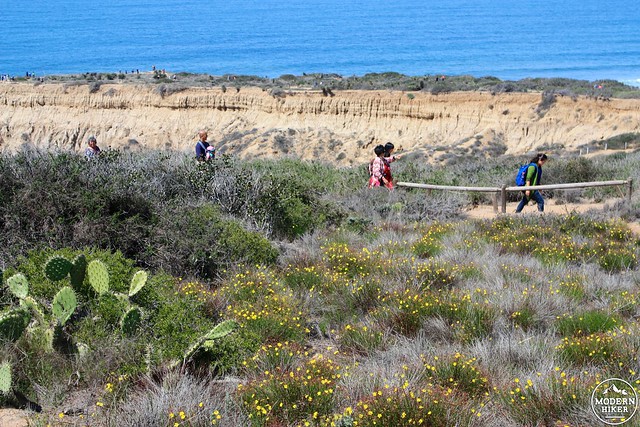
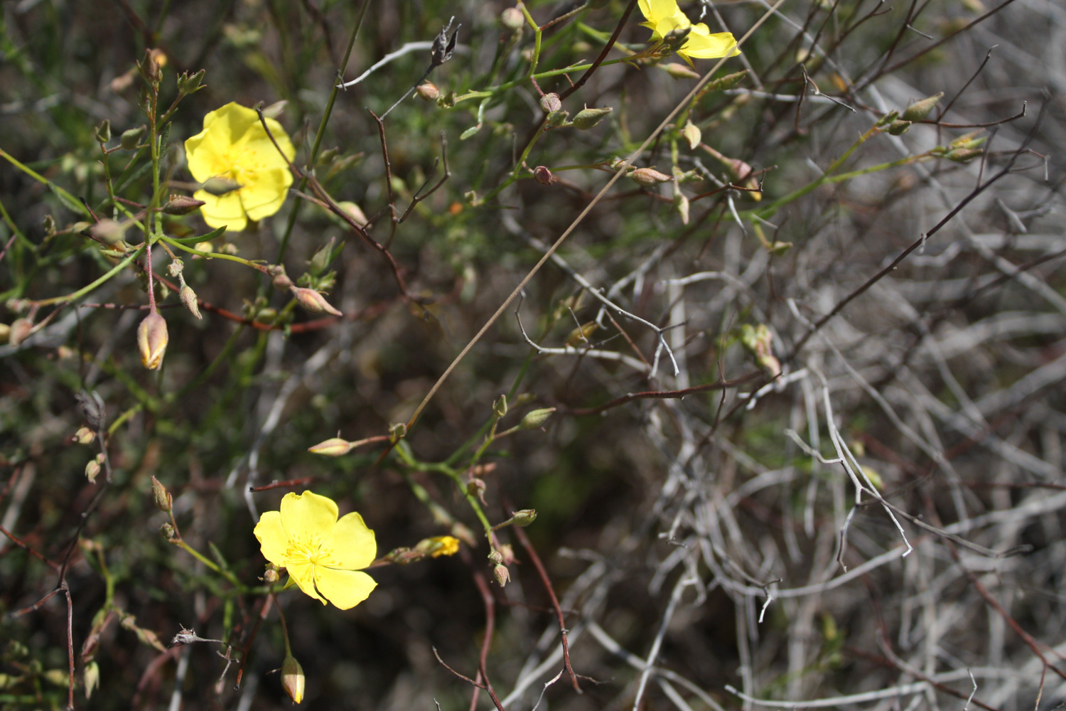
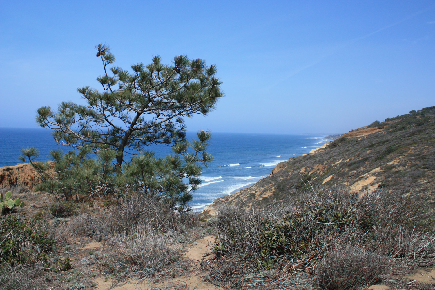
The trail takes a meandering path to the west toward the Pacific. You’ll be able to see a few lonely pines near Razor Point not too far away, but (as always) be sure to keep your eyes peeled for some wildflowers hiding out in the underbrush.
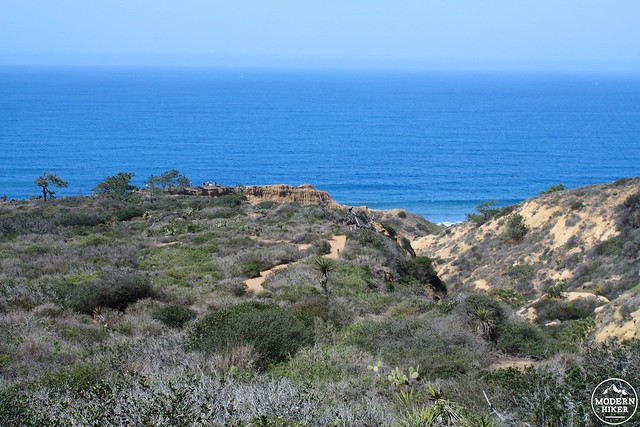
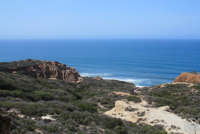
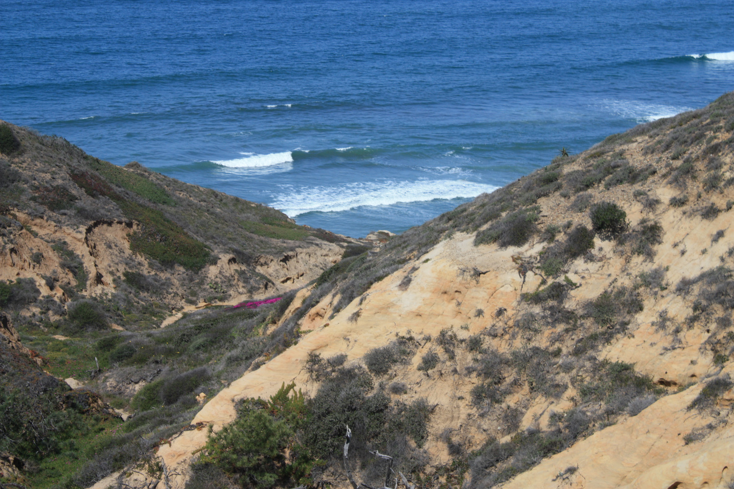
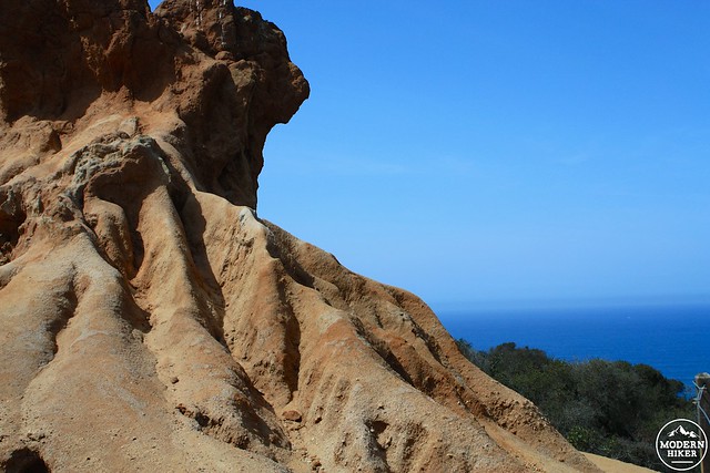
As you approach the coast, you’ll see the ground start to fall away, revealing the almost otherworldly-looking Big Basin formation.
This scoured slope of pinnacles and pockets looks like it belongs somewhere in the strange landscape of the desert, yet here it sits right next to the Pacific Ocean. I will say, it’s a tremendous experience to gaze at something that feels like it belongs near Zabriskie Point in Death Valley yet hear the crashing waves of the ocean instead.
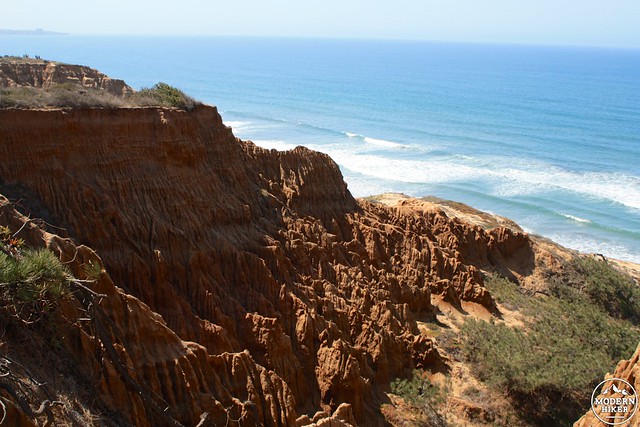
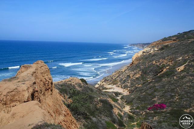
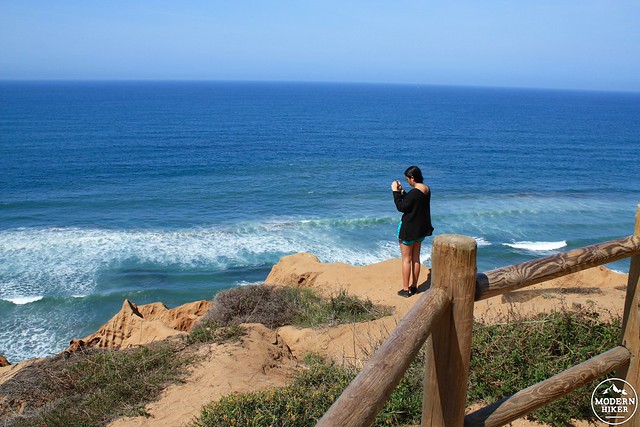
Take the short side trip to Yucca Point for more impressive views of the coast, or continue past the spur onto the Beach Trail and keep to the right.
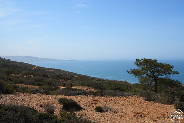
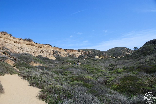
This next section of trail takes you through typical coastal chaparral and for a decent portion of it you won’t be able to see the beach …
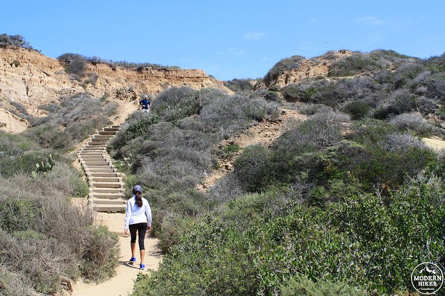
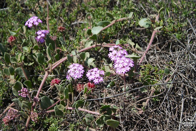
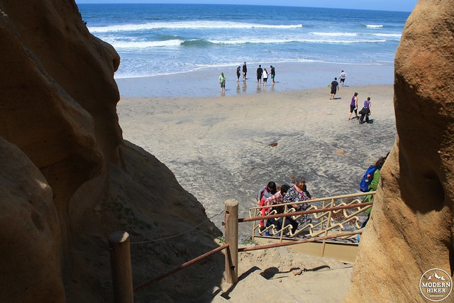
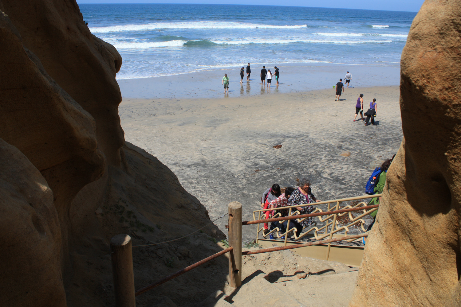
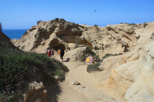
But eventually the Beach Trail does take you to where it said it would – after a short, steep scramble through some badland formations and two staircases – one wooden and one metal.
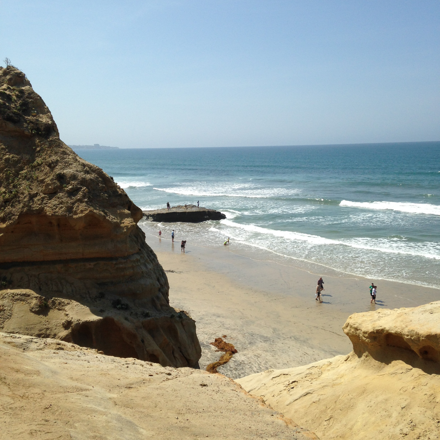
At the end, you’ll find your feet directly in the wet sand of Torrey Pines State Beach.
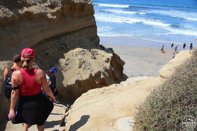
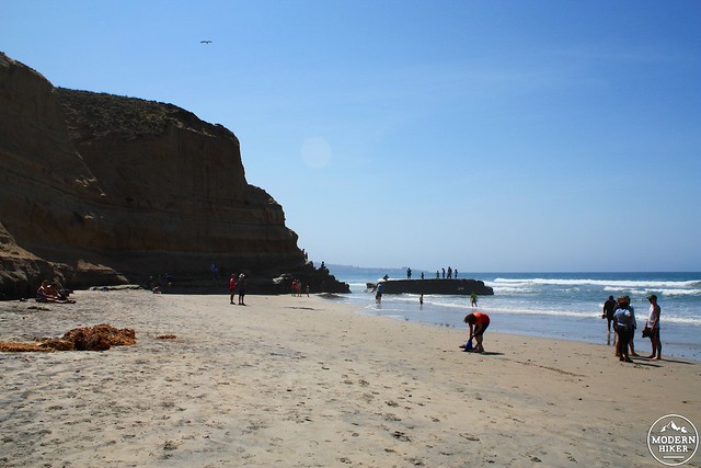
When I was here the beach wasn’t crowded, but there were definitely more people than I was expecting to see. The nearby landmark Flat Rock – clearly visible from the step ladder down to the sand – is a favorite spot for local anglers and a great spot to catch the spray of some crashing waves.
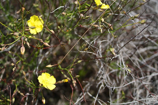
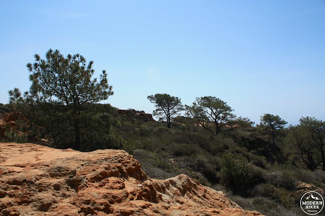
When you’re done with the sand and surf, head back up the way you came and take a right after the stairs to hop onto the Broken Hill Trail. This route rises back above the cliff and continues to climb east over some long and moderate switchbacks. Here, the trail meanders through some more low coastal chaparral (and, of course, wildflowers) before reaching another small grove of Torrey pines.
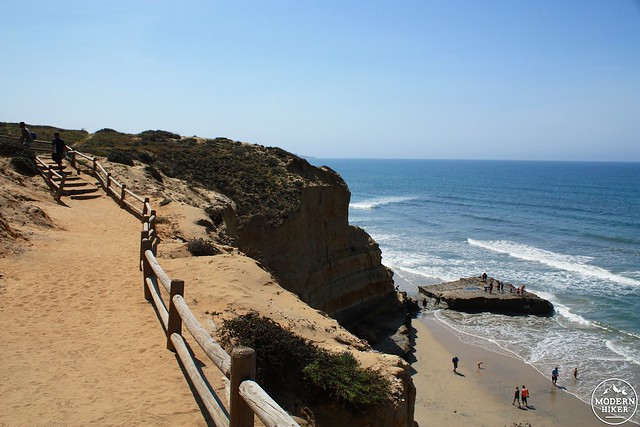
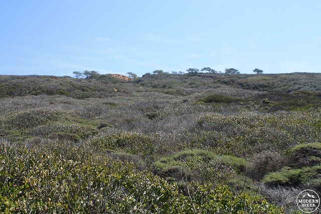
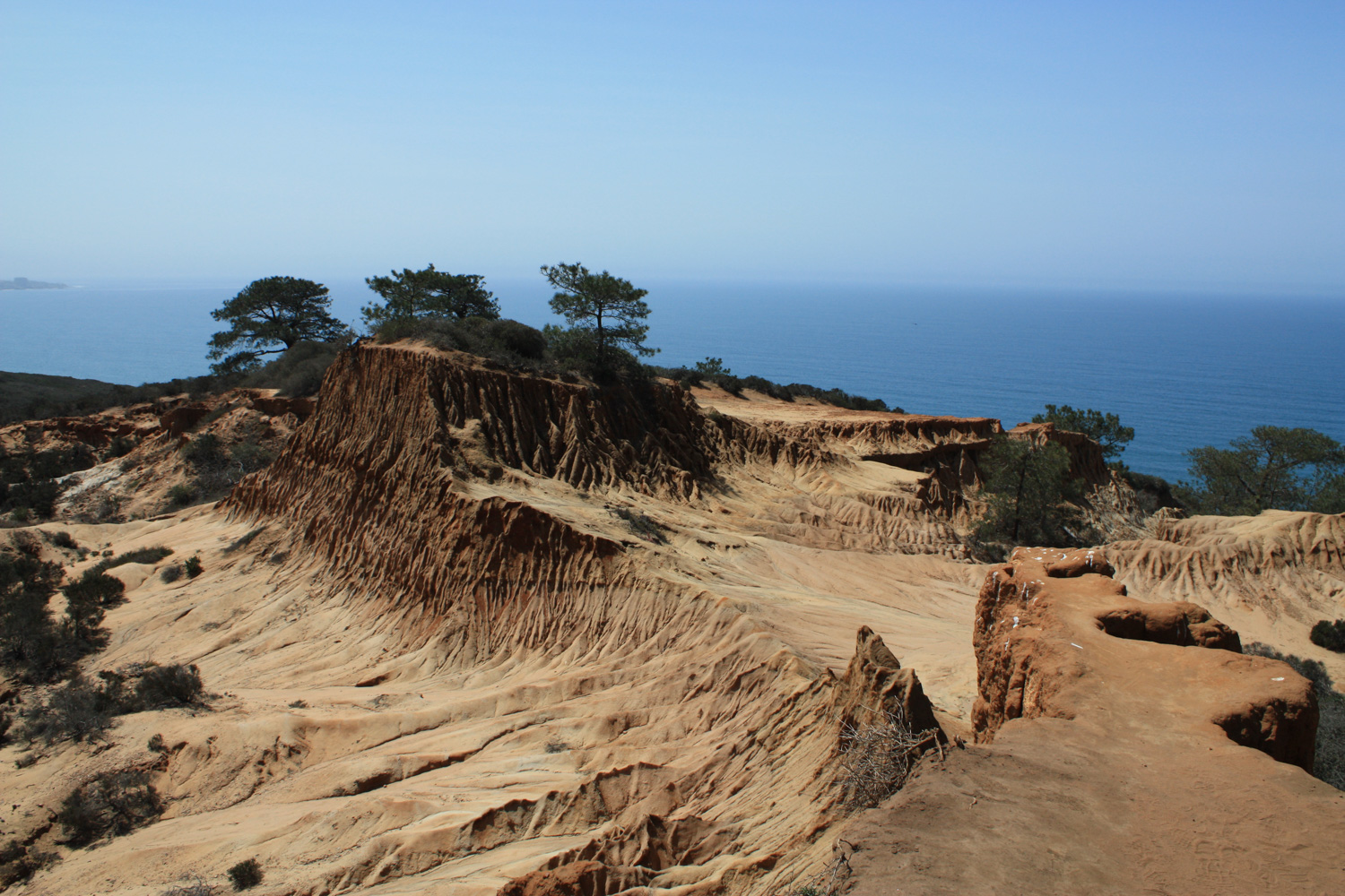
Near the top of the bluff, there’s a short side trail to the Broken Hill Overlook. This overlook takes you to a incredible promontory overlooking a few rugged Torrey pines clinging to the coastal badlands while their more manicured cousins watch on from the nearby Torrey Pines golf course.

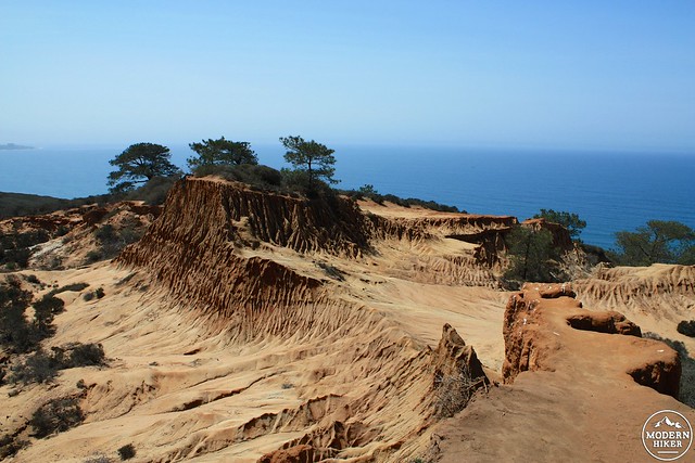
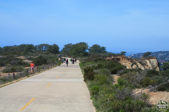
When you’re done, continue on the Broken Hill trail until you hit the paved road. There was an army base built here to protect San Diego from naval attacks during World War II, but the road itself predates the base … and was originally the main automotive route between San Diego and Los Angeles.
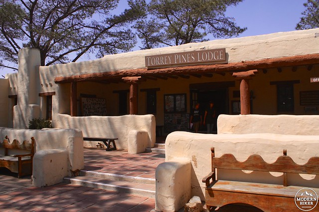
The interior features films and exhibits about the region’s natural and human history, and the exterior has some beautiful vistas and native gardens, as well as a large and very peaceful grove of Torrey pines.
Tags: beach, Hiking, San Diego, State Park, swimming, torrey pines state reserve, transit accessible, wildflowers


