UPDATE 8/15/2018: The trails on this route have been heavily impacted by the 2018 Holy Fire. It will be quite some time before the vegetation recovers, and it is currently unknown when the trails will re-open.
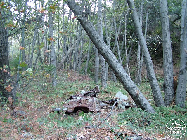
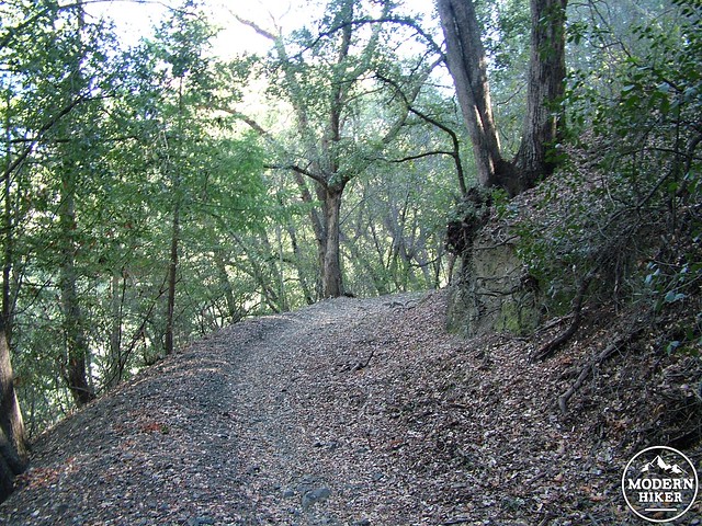
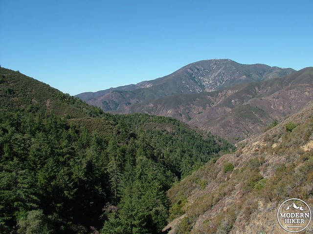
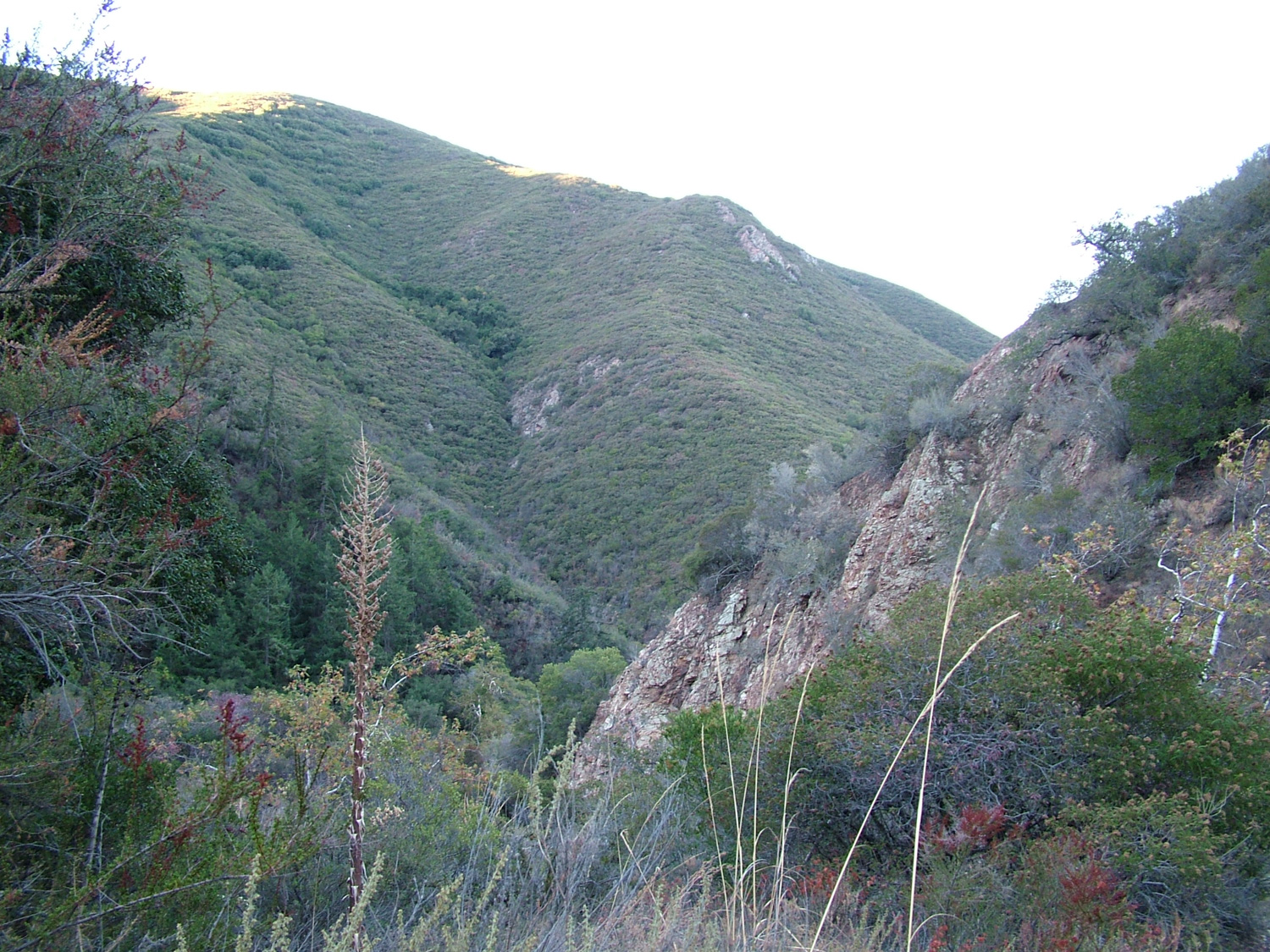
Trabuco Canyon is one of Orange County’s great semi-hidden secrets. While a fair amount of hikers know about it thanks to its proximity with Santiago Peak and Holy Jim Falls, we suspect that most residents of the region are not aware that a beautiful canyon full of maples, bays, sycamores, and oaks lies hidden deep in the folds of the Santa Ana Mountains. This long loop built around the deeper parts of the canyon is also one of the most varied and interesting of the routes in the county. On this trip, you will visit the cool shade of the canyon along with its trickling seasonal creek before climbing up the Horsethief Trail to the main divide of the Santa Ana Mountains for panoramic coastal and interior views. You will plunge into a dense thicket of coulter pines and incense cedars before dropping back into Trabuco Canyon along cool north-facing slopes under the shade of bay trees and coast live oaks. The presence of bigleaf maples along watercourses also means that Trabuco Canyon is often Orange County’s best shot at a good fall color display.
This satisfying hike does come with a few cautions: The entirety of this hike occurs on Cleveland National Forest land, which means you will need to display and Adventure Pass at the Holy Jim Canyon trailhead. Despite this being Forest Service land, backpacking is not allowed on the Main Divide, nor throughout the reaches of Trabuco Canyon. Additionally, the road into Trabuco Canyon is rough and infrequently maintained, and it may not be passable for a low-clearance vehicle. Finally, despite a substantial portion of shade on this route, the summer months would be brutally hot times to attempt this hike. Therefore, your visit should be timed for a cool fall, winter, or spring day – preferably one with good visibility so that you can enjoy the beautiful views along the Main Divide.
Begin from the Holy Jim Parking lot, which also serves as the starting point for routes up to Santiago Peak and Holy Jim Falls. Please note that the track for this begins one mile up canyon, and all distances within the text of this write-up are oriented from the Holy Jim Falls lot. It is possible to drive the last mile and shave off two miles from the round-trip, but then you’d miss Alder Spring and a nice patch of the lower canyon. Whether driving or walking this last section of rough road, you will pass through a dense and varied gallery forest of sycamores, coast live oaks, big leaf maples, bigcone Douglas firs, and alders. This variety in the vegetation is a direct result of Trabuco Creek’s relatively large volume of water during wet years. Although nearby San Juan Canyon drains a much larger area of the Santa Ana Mountains, Trabuco Creek often has a larger volume of water thanks to it draining the highest – and therefore wettest – portions of the range.
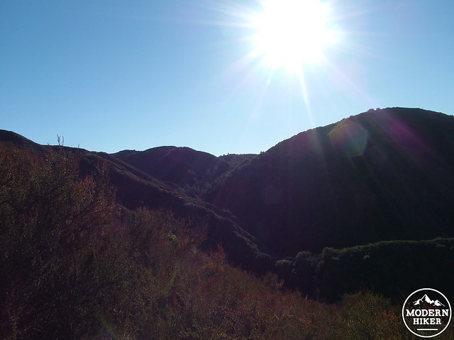
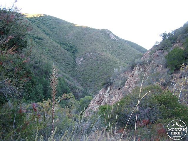
Continue south along Trabuco Canyon, gradually gaining elevation, until reaching a junction with the Horsethief Trail at 2.7 miles. Turn left to follow the Horsethief Trail east along a tributary of Trabuco Canyon until the trail reaches the base of the canyon wall. From here, commence an arduous climb through dense chaparral along the rough trail as it switchbacks its way up to the Main Divide for 1.4 miles. Given the exposure and strenuousness of this section, we recommend an early start in order to get this segment out of the way while it’s still cool.
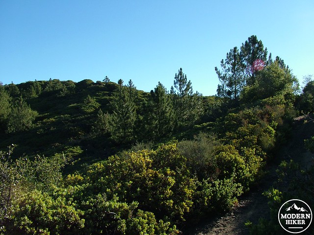
Around 4 miles, the vegetation will make two simultaneous transitions. For starters, you will leave the lower elevation chaparral belt to enter the higher chaparral belt where manzanita with sparse copses of Coulter pines begin to replace chamise as the dominant species. This transition also coincides with a change in the geology from a metasedimentary rock into courser granitic rock. This transition is a sign that you are nearly to the Main Divide, and as if on cue, the trail soon merges with the wide, well-traveled Main Divide Road at 4.25 miles. Turn right to begin traveling south.
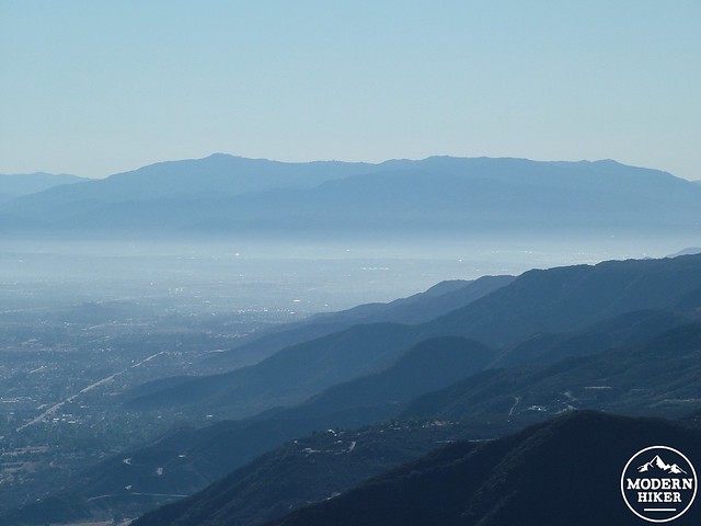
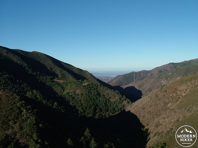
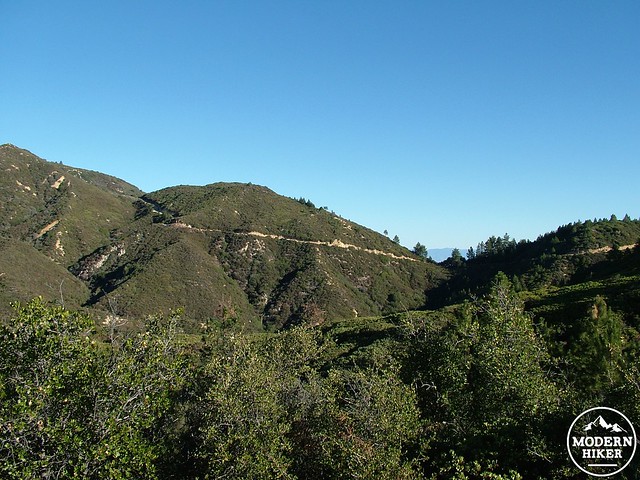
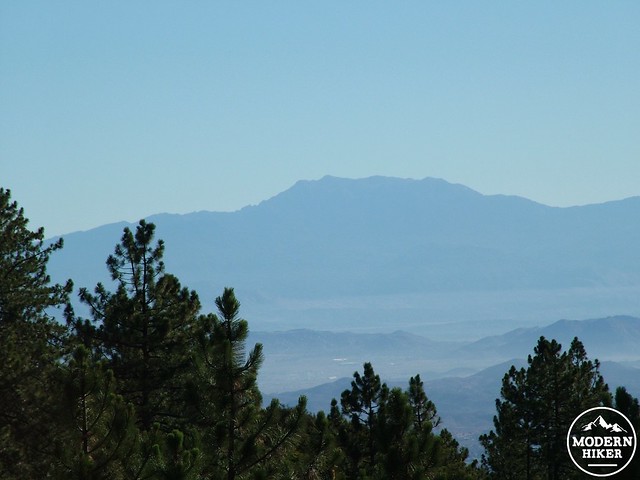
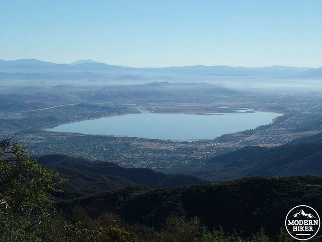
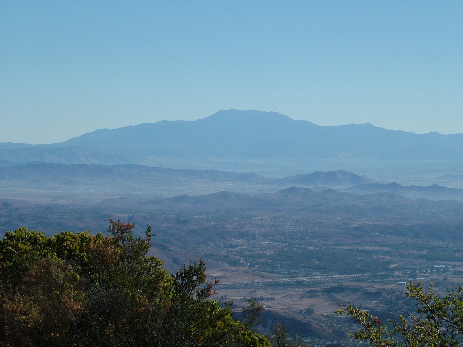
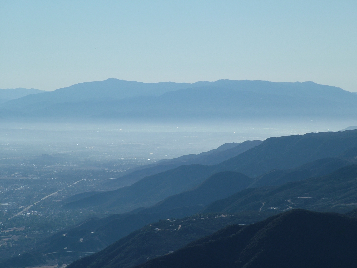
Along Main Divide Road, spectacular views unfurl to both the east and the west. To the east, Elsinore Valley spreads out toward the eastern and northeastern foothills before reaching the possibly snow-capped heights of the San Bernadino and San Jacinto Mountains. Looking west, Orange County’s suburban sprawl stretches out into the haze before terminating abruptly at the blue arc of the Pacific. Closer afoot, you will wind your way along a relatively easy stretch of walking on the Main Divide Road past thick carpets of manzanita punctuated with Coulter pines and bigcone Douglas firs on the north facing slopes.
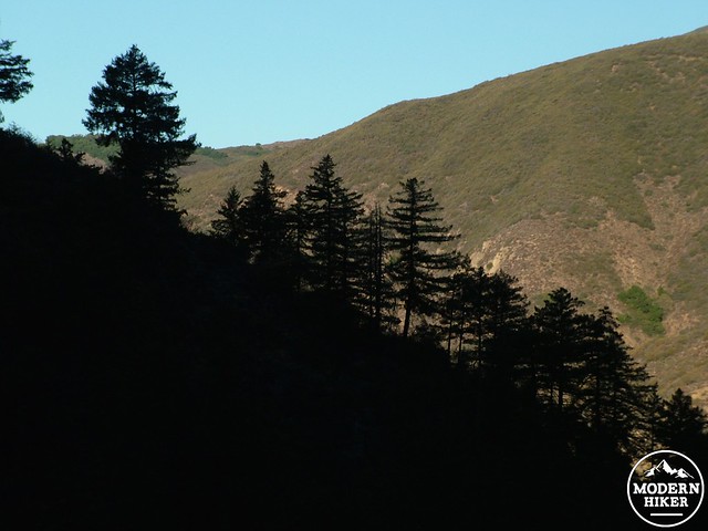
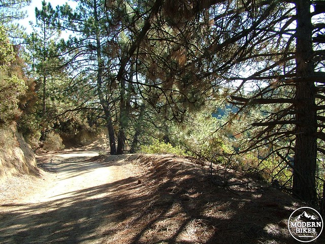
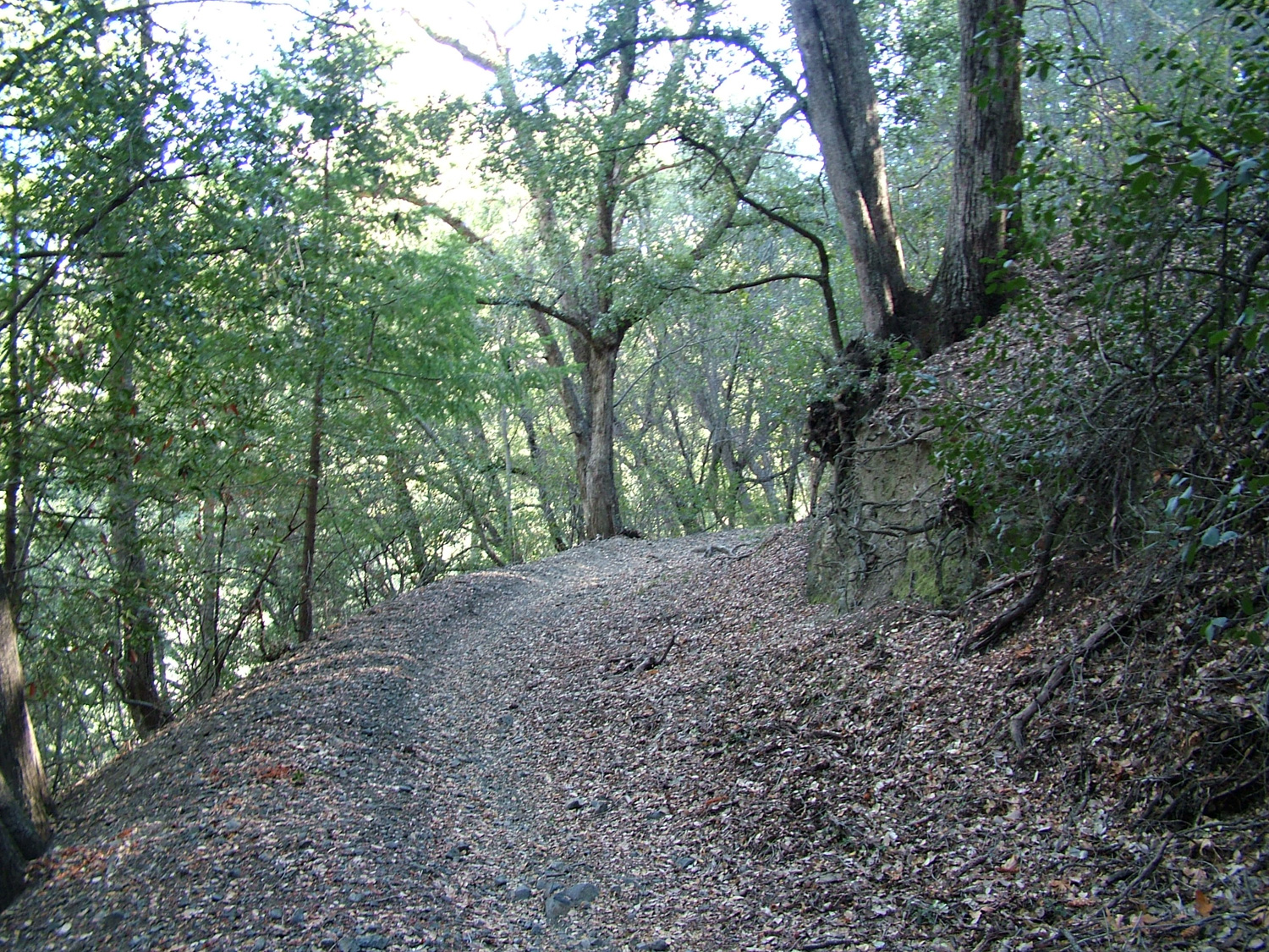
After 6.8 miles of travel, Main Divide Road reaches Los Pinos Saddle, upon which sits a four-way junction. Here, in the midst of one of the densest wooded sections in the Santa Ana Mountains, make a hard, hairpin right just before the saddle to commence your decent back into Trabuco Canyon along the Trabuco Canyon Trail. This initial stretch of trail passes through dense forest of pines, firs, oaks, bays, and even a few moisture-loving incense cedars. The trail meanders through a dense section of forest before crossing over to the south-facing slope of the ridge to drop back into Trabuco Canyon.
At 9.4 miles, the trail will bottom out before bringing you to the Horsethief Trail junction. Turn left, heading west to retrace your steps down canyon for a breezy 2.6 miles back to the Holy Jim Canyon parking lot to complete the hike.
Tags: Cleveland National Forest, foliage, Horsethief Trail, Lake Elsinore, Los Pinos Saddle, Mission Viejo, Rancho Santa Margarita, Santa Ana Mountains, trabuco canyon


