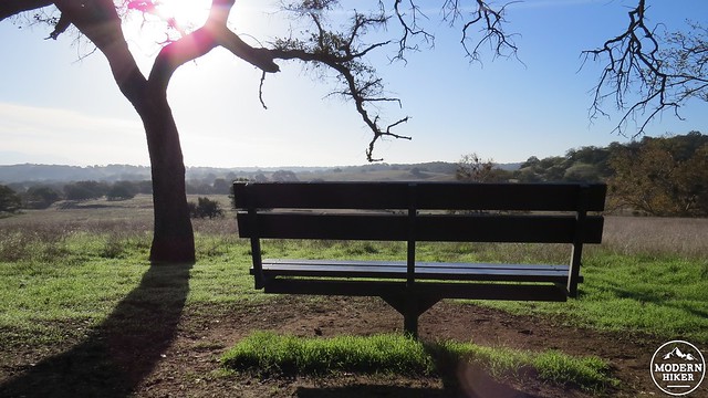
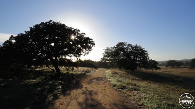
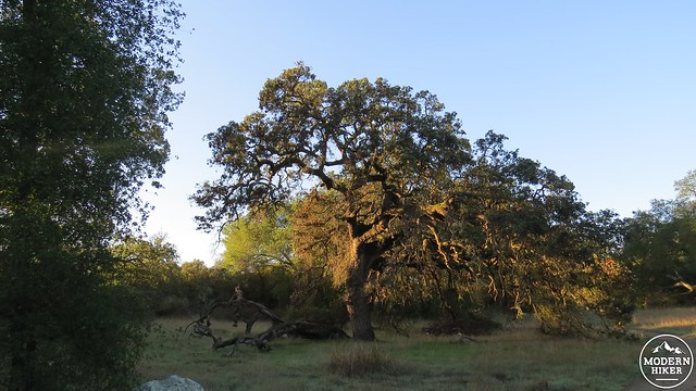
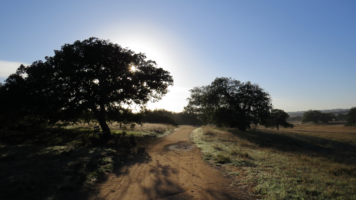
When you start looking into the evolutionary origins of the human species, you will inevitably encounter the theory that early hominids first “emerged” somewhere in the savannas of eastern Africa. A speculative aspect of this theory is that we have inherited through our earliest ancestors an innate preference for a specific kind of landscape. This landscape would feature open grasslands (clear view of predators), well-spaced woodlands (food source), the presence of animals (more food), some kind of reliable water source (you know – for drinking) and relatively gentle terrain (easy locomotion). This theory holds that this landscape was seen as safe, supportive, and conducive to survival, thus encouraging countless generations of early and later man to express a fundamental partiality to this specific environment.
As erectus became sapiens, the species spread out across the globe, leaving behind our earliest home. Cultural evolution superseded natural selection, and we soon inhabited virtually every landscape on the planet. Despite this, people of all cultures around the world express a preference for the exact same sort of landscape found on the earliest savannas: woodlands of trees that preferably branch out from short trunks, a source of water, the presence of animals, rolling grasslands, and some kind of path stretching out and inviting you to take a stroll. This is even true of cultures living on lands that do not possess this sort of ecosystem.
Here in Southern California, we once had this ecosystem in abundance. Much of the Los Angeles basin and many of the interior and coastal valleys and canyons were open woodlands that fit the exact description above. This highly desirable landscape is part of what drew and continues to draw so many people to Southern California. In a twist of irony, Southern California citizens have engaged in the long term process of replacing these ecosystems with artificial landscapes that, where not developed with structures, actually seek to replicate the very landscapes we’ve replaced. Go to a park or golf course, and what will you see? Open grasslands punctuated by well-spaced trees with a body of water and paths to follow. The only thing missing is wildlife, but even here we’ve brought our own pets in to make up for that loss.
Fortunately, a number of agencies have seen fit to protect one of the finest examples of Southern California grasslands, woodlands, and savannas remaining in the region. The Santa Rosa Ecological Preserve protects nearly 9,000 acres of prime habitat. Here, you will find all of the essential ingredients for the universally preferred landscape. Even wildlife is still common here, with coyotes, mountain lions, foxes, bobcats, mule deer, rabbits, raptors, and a host of rodents, reptiles, and insects calling the preserve home. Evidence of Native American life appears on the Engelmann Oak Loop in the form of morteros (grinding stones), and another portion of the preserve protects the oldest building in Riverside County – a holdover from the Spanish ranchero era.
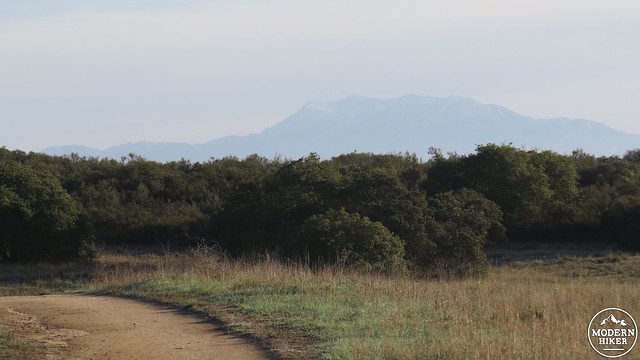
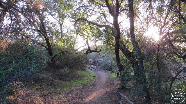
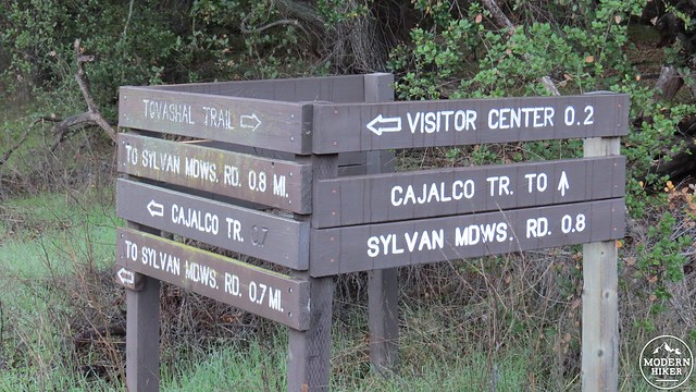
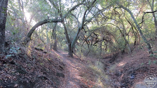
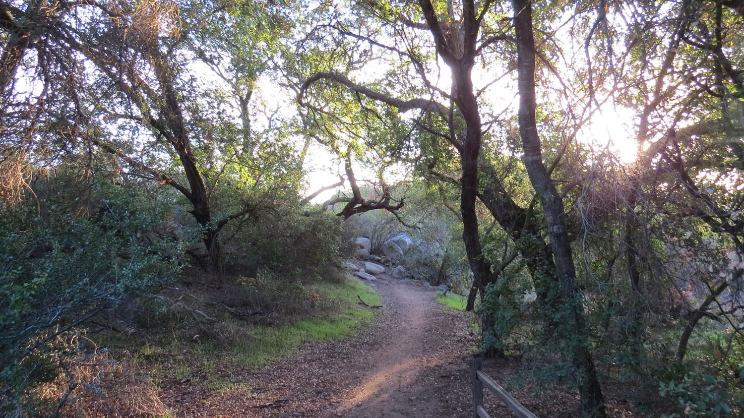
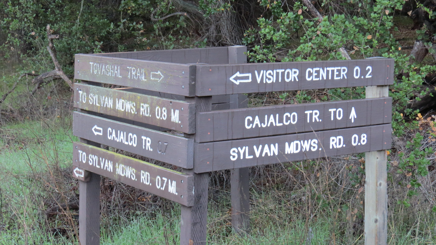
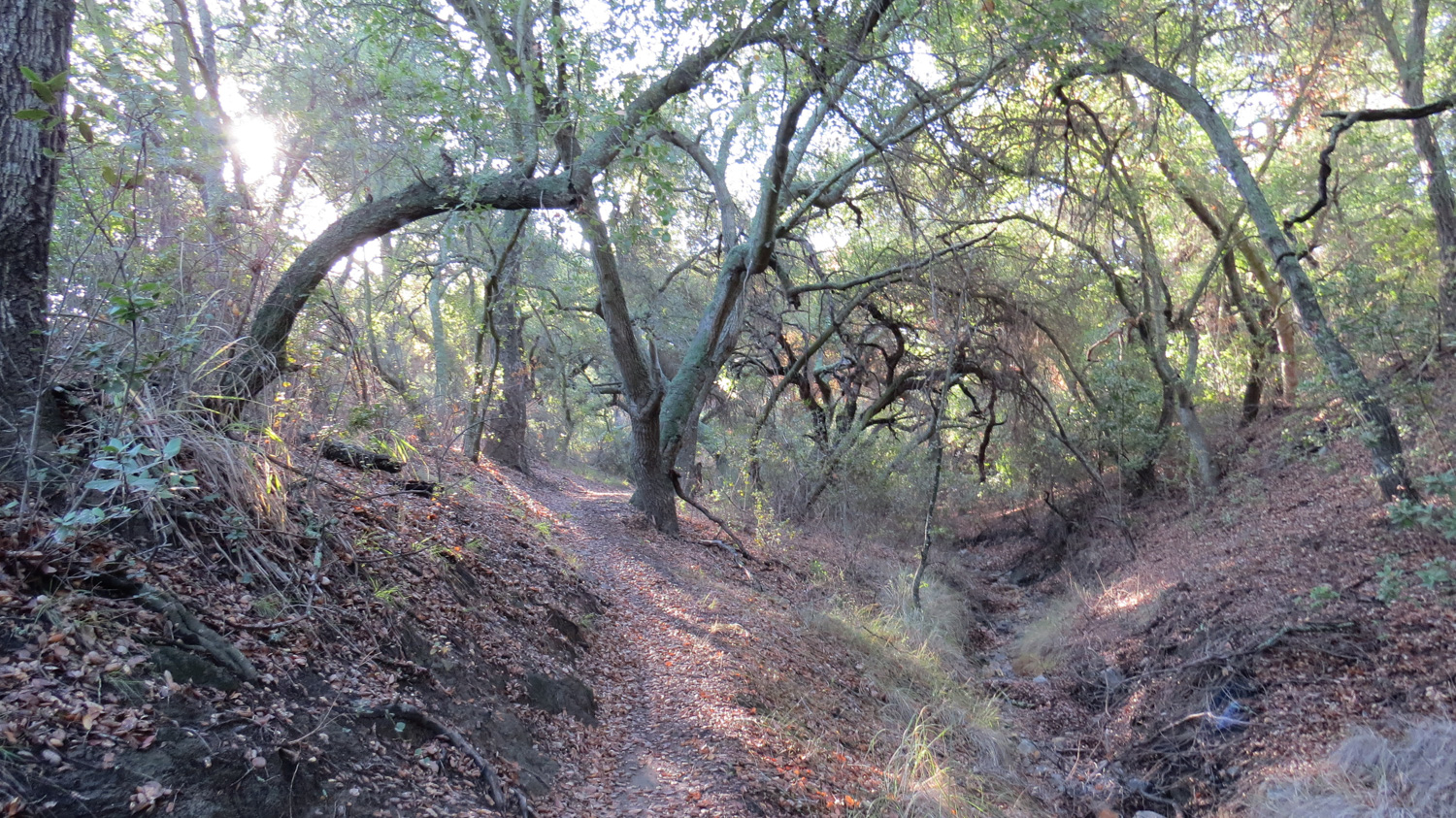
This moderate hike visits the northern portion of the preserve and travels through an expansive savanna that throws in some views of SoCal’s tallest mountains – San Gorgonio and San Jacinto – to boot. After parking across the street from the Visitor’s Center and placing your $3 (at time of writing) day fee into the iron ranger, head west on a brief connector trail that will bring you to a Y-junction with the Cajalco and Tovashal Trails. Take the right fork on the Tovashal Trail heading southwest as you pass through a dense canopy of coast live oaks and Engelmann oaks along the banks of a seasonal stream for .8 of a mile.
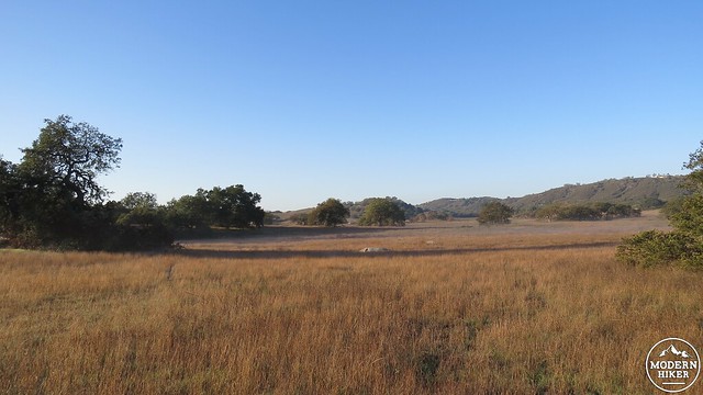
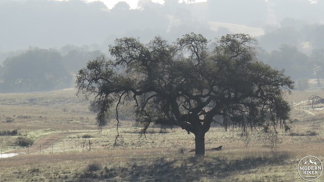
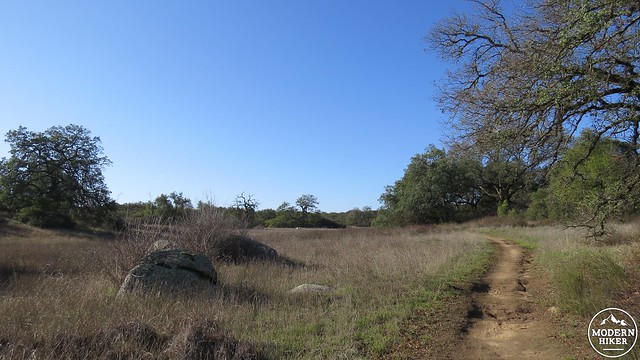
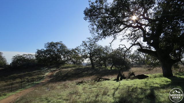
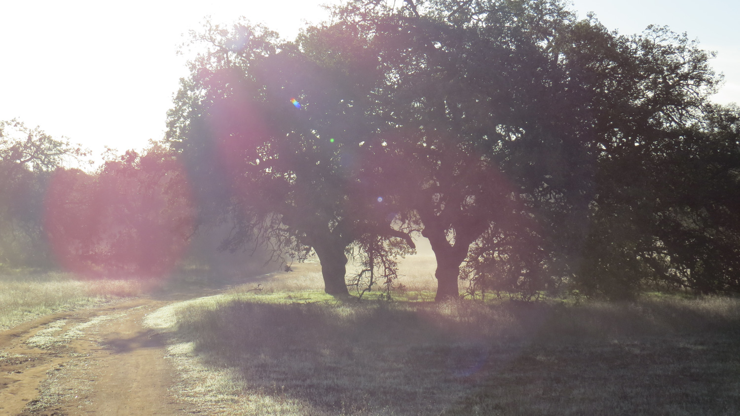
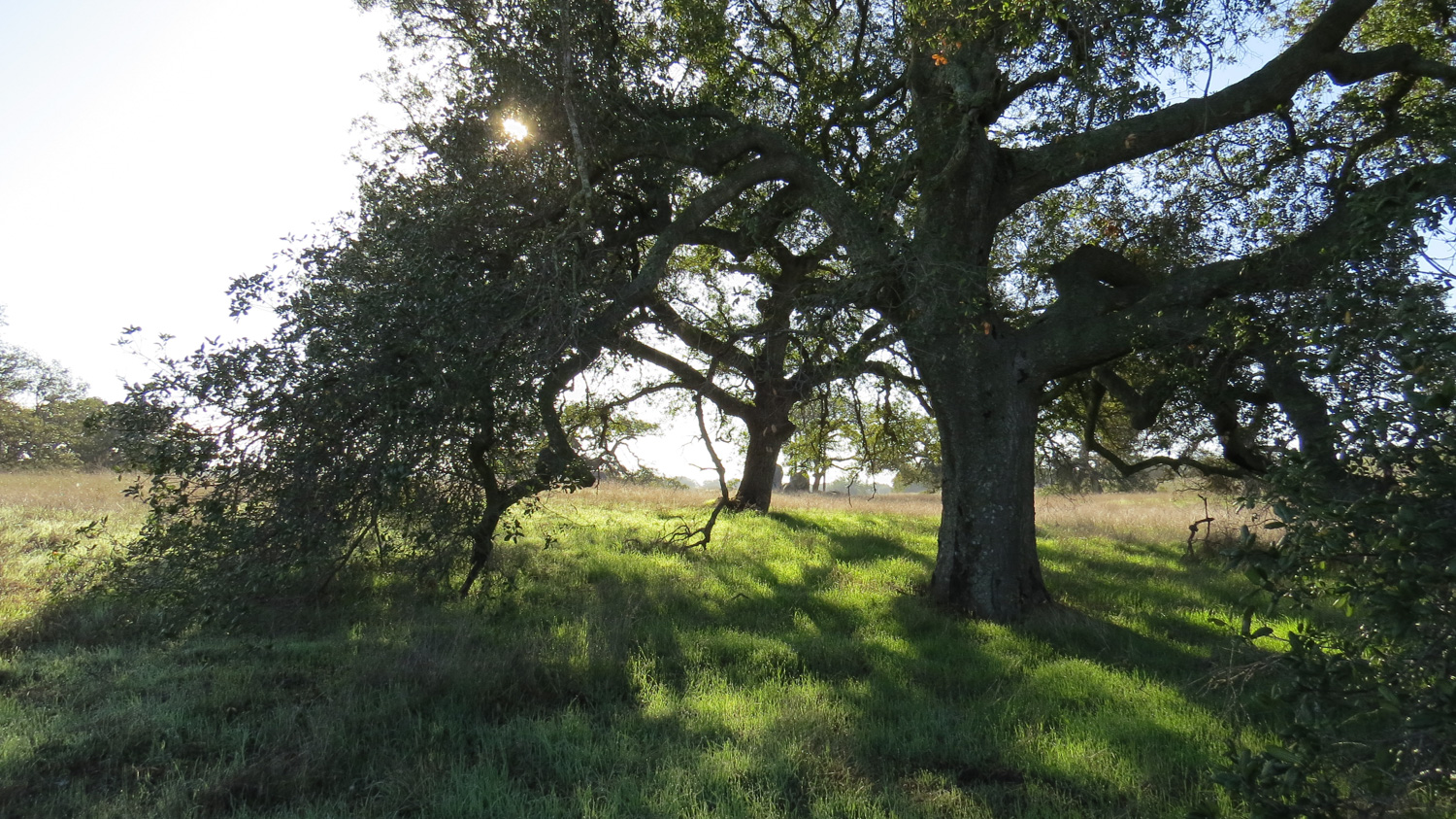
The Tovashal Trail emerges at Sylvan Meadows Road as an expansive view over the area dubbed “Sylvan Meadows” unfurls. For several miles looking south and east, you will see rolling hills covered in native grasses and studded with a mixture of coast live oaks and Engelmann oaks. Water usually only flows occasionally through shallow ravines, but if you come during winter and spring in a wet year, you will encounter plenty of the wet stuff, too. Fields of wildflowers often carpet these meadows during spring, but even during drier times the landscape will still hold countless charms on both vast and intimate scales.
Turn right onto Sylvan Meadows road, heading west again for about half a mile. Avoid turning right onto the Manzanita Trail, which takes you to private property. Continue for another .2 miles before coming to an optional diversion with the Shivela Trail. If you wish, you can turn right onto the Shivela Trail for a scenic detour into the gallery forest within Steveson Canyon. After .4 mile on the Shivela Trail, turn right to commence a brief loop that travels first through the chaparral and then returns through a dense canopy of oaks. Opportunities for picnicking and frolicsome leisure occur here or at a table at the Shivela Trail junction.
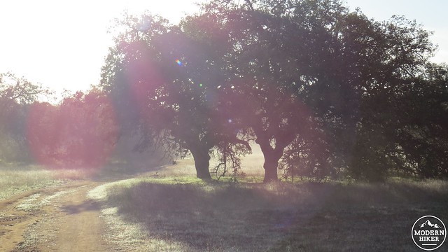
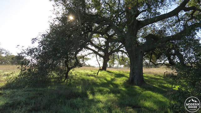
Return back to Sylvan Meadows Road and turn right to continue the loop. After another .7 mile of easy walking, you’ll reach a staging area. On the other side of the staging area, the route continues on the Engelmann Oak Loop. You have the option of taking the faster track close to the road, but I recommend the meandering spur trail that passes through groves featuring several fine specimens of the Engelmann oaks. This tree was once plentiful but has in recent years become a victim of its habitat’s success as urban development has displaced the tree’s original habitats.
The Engelmann Oak loop junctions with the Mortero Trail, upon which you will turn left to continue traveling east. Along this trail, keep your eyes peeled for a large, flat rock on your left that has several depressions created by countless hours of grinding at the hands of the region’s original inhabitants. Acorns were ground to meal here, which formed the backbone staple of the Native American diet.
The Mortero Trail will bring you back to Sylvan Meadows Road, at which you will turn left to head north back to your starting point. You can stay on the wide fire road, or you can take the brief spur trails that loop out from the main road through stands of oaks. In .5 or .7 miles, depending on whether you take spur trails, you will come to the Cajalco Trail, upon which you turn right to head back to the trailhead. While on the Cajalco Trail, avoid taking the Cattle Trail which branches off of Cajalco – it spends too much time close to heavily traveled Clinton Keith Road. After passing through a small, oak-lined meadow and some dense stands of lichen-draped chaparral, you will return to the spur trail leading back to the trailhead.
Tags: Engelmann Oak, Murrieta, Riverside County, Santa Rosa Plateau, Sylvan Meadows, Temecula, wildflowers


