This moderately strenuous loop showcases the beauty and diversity of the Santa Rosa Plateau in satisfying fashion. As you make your way along the southern third of the reserve, you’ll sample nearly every ecosystem on the plateau, including grasslands, Engelmann and coast live oak woodlands, chaparral, sage-scrub, and riparian woodlands. You’ll also visit the historic adobe compound, and you’ll have the option for a side trip up to the reserve’s largest vernal pool.
Note: As of this writing, there is a $4 fee for day use at the reserve.

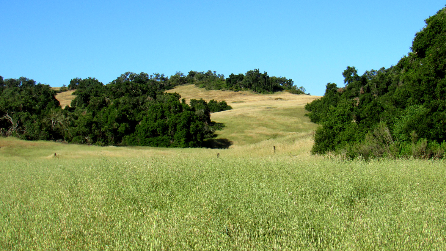
Grasslands and Oak Woodlands
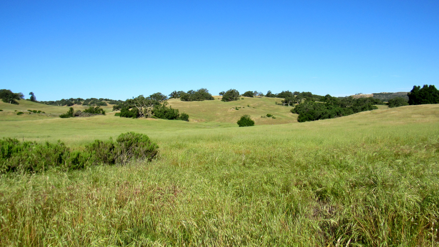
Take a stroll through the Santa Rosa Plateau Ecological Reserve, and you’ll encounter the quintessentially Southern California scene of waist-high grasses rippling in the breezes beneath the spreading boughs of gnarled oaks. This ecological wonderland preserves natural features that were once abundant across coastal SoCal, but which have now largely been relegated to small ecological islands by urban development.

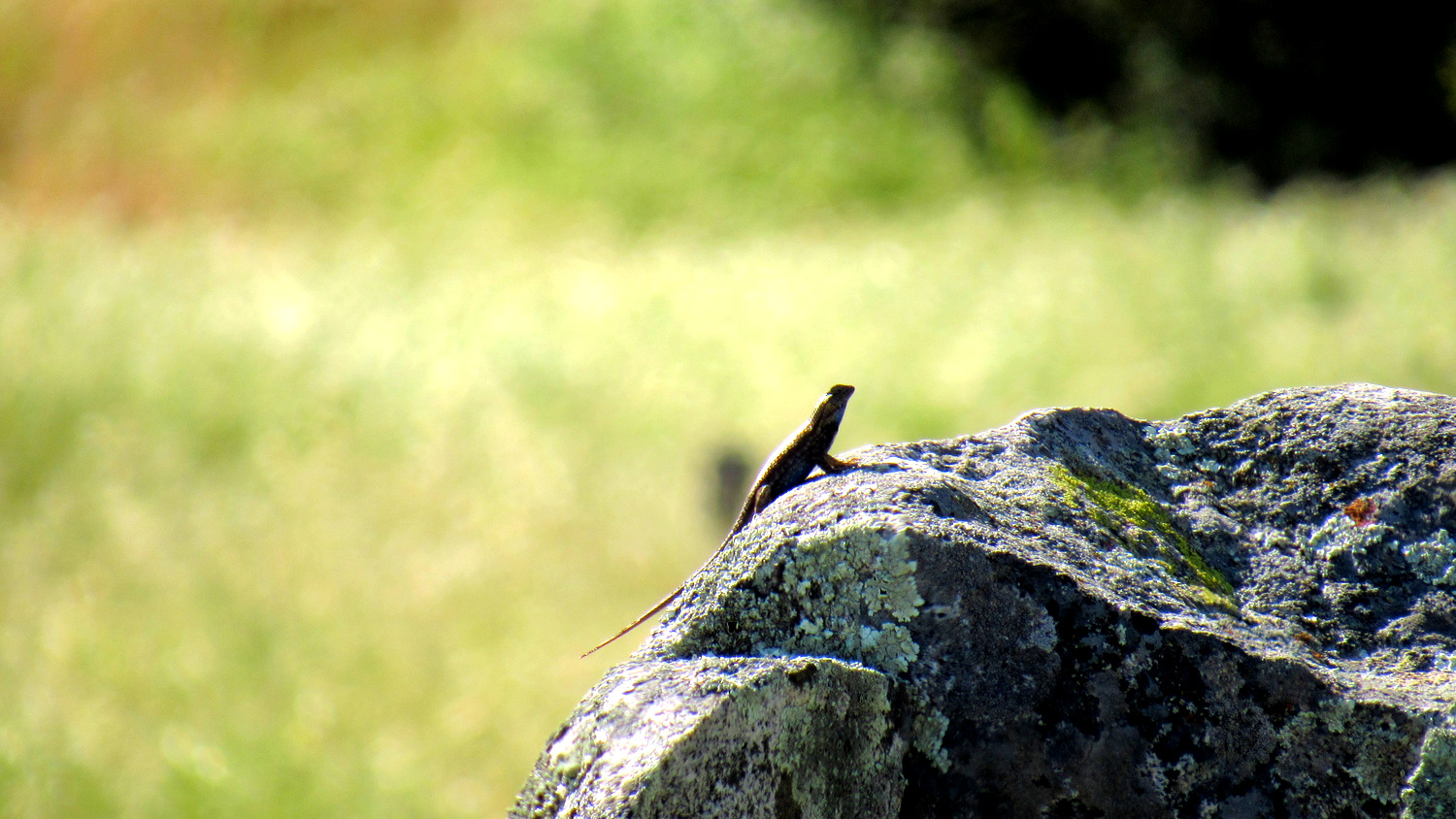
Fencepost Lizard sunning itself on lichen-encrusted boulders
Much of the visitation at this popular reserve occurs near the Visitor Center, the Vernal Pools Trailhead, and the access points for Sylvan Meadows. On any given weekend day, especially those that are cool, heavy hiker traffic buzzes along the intricate trail network adjacent to these access points. Hikers willing to venture deeper into the reserve on the Punta Mesa Trail and Trans-Preserve Trails will achieve a satisfying amount of solitude, as well as a rich natural experience devoid of the encroachment of civilization.

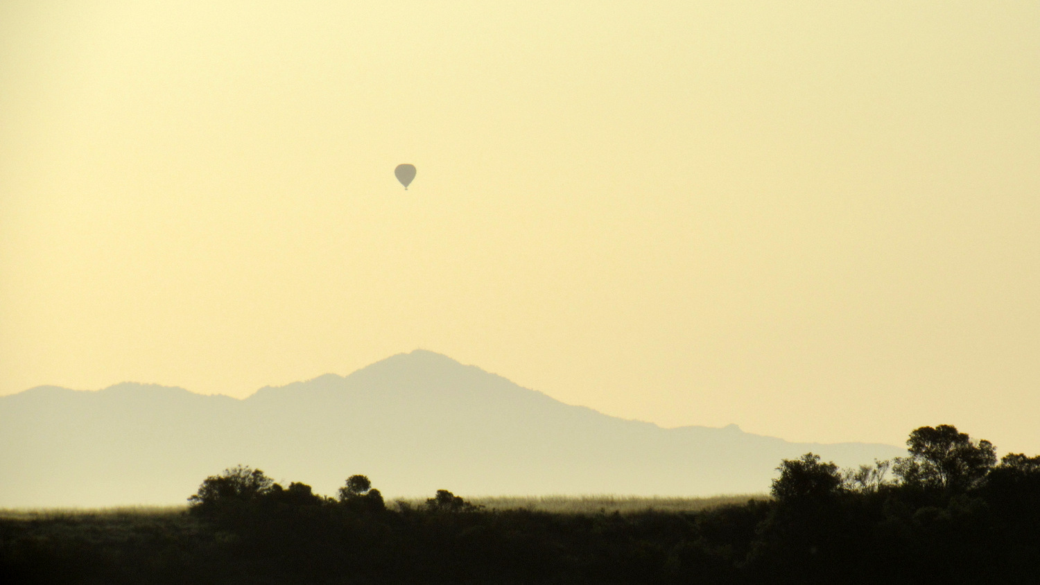
Hot Air Balloon over Pechanga with Toro Peak in the background
A few warnings apply: The areas surrounding Temecula Valley can become brutally hot during the late spring, summer, and early fall months. Hikers seeking to walk the trails during these times are advised to start as early as possible and to avoid the hottest parts of the day (10am – 4pm).

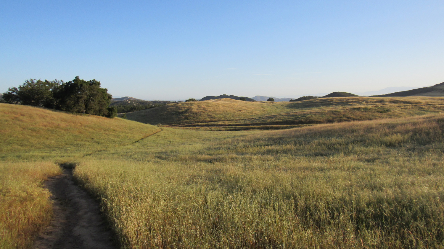
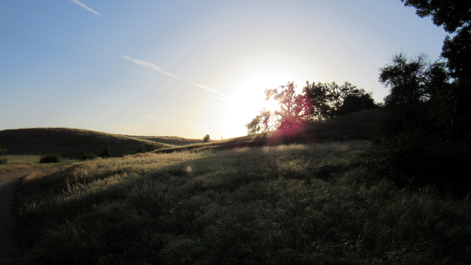
Vista Grande Trail in the early morning
Additionally, rattlesnakes are common on the reserve. This route eschews wide fire roads for narrow single-track trails wherever possible. As many of these narrow tracks pass through those waist-high grasses, you run the risk of potential rattlesnake encounters. The use of trekking poles, which alerts rattlesnakes to your approach through the vibrations they create, can give these normally non-aggressive reptiles a chance to slither deeper into the brush to avoid an encounter — or at the least let you know where they are with their rattles.

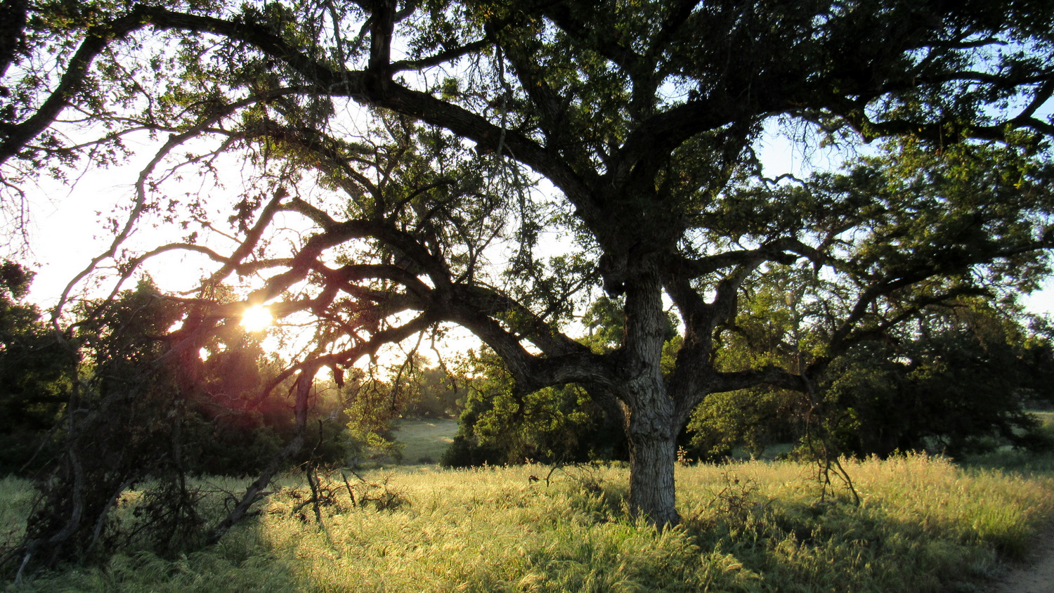
Engelmann oak on Waterline Road
To begin, head straight on the wide, gated dirt road just west of the reserve entrance (Waterline Road) and continue for .2 mile to a junction with the Granite Loop. Turn left at this junction and then make an immediate right onto the Vista Grande Trail. This trail meanders parallel to the Waterline Road along the banks of a seasonal creek. Although it’s often only a hundred yards east of Waterline Road, it feels more secluded and less traveled as it passes through sylvan landscapes replete with tall grasses, wildflowers, and oak trees.

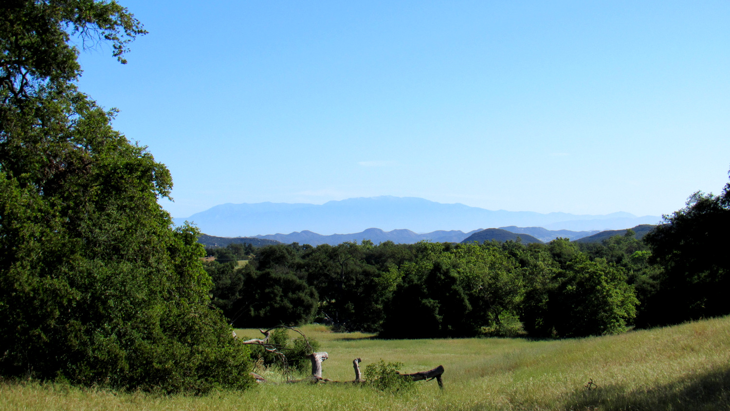
Mt. San Jacinto
The Vista Grande Trail crosses Waterline Road at 1 mile and continues in a southerly direction through a rolling grassland that unfurls toward the flattened eastern rim of the plateau. The trail climbs gently over this rolling terrain above and parallel to a north-south trending fault line just to the east. As you gain the modest amount of elevation on this climb, the “Vista Grande” comes into view with parts of San Gorgonio Mountain and Mt. San Jacinto looming in the distance behind the rolling grasslands and woodlands of the plateau.

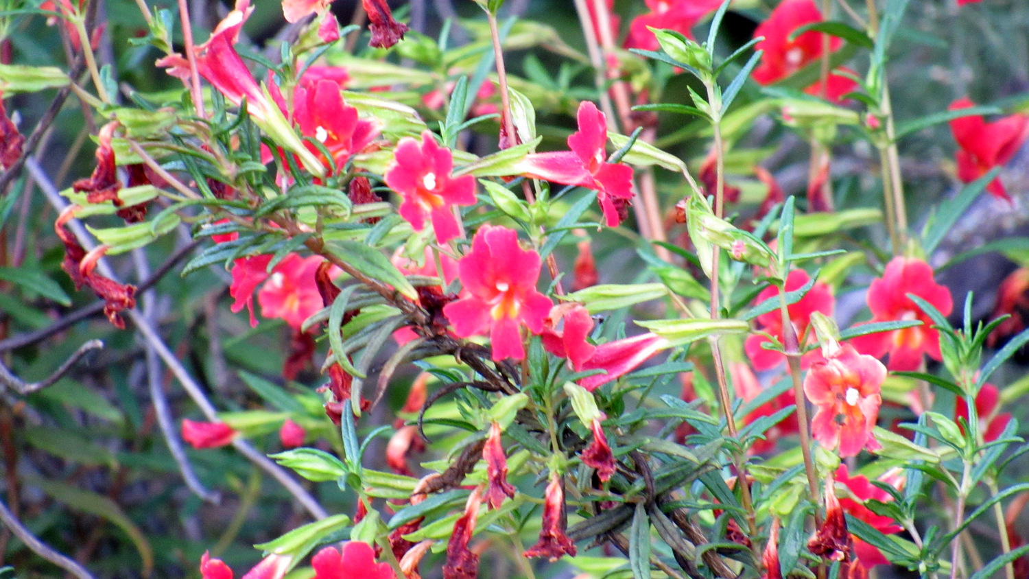
Bush Monkeyflower
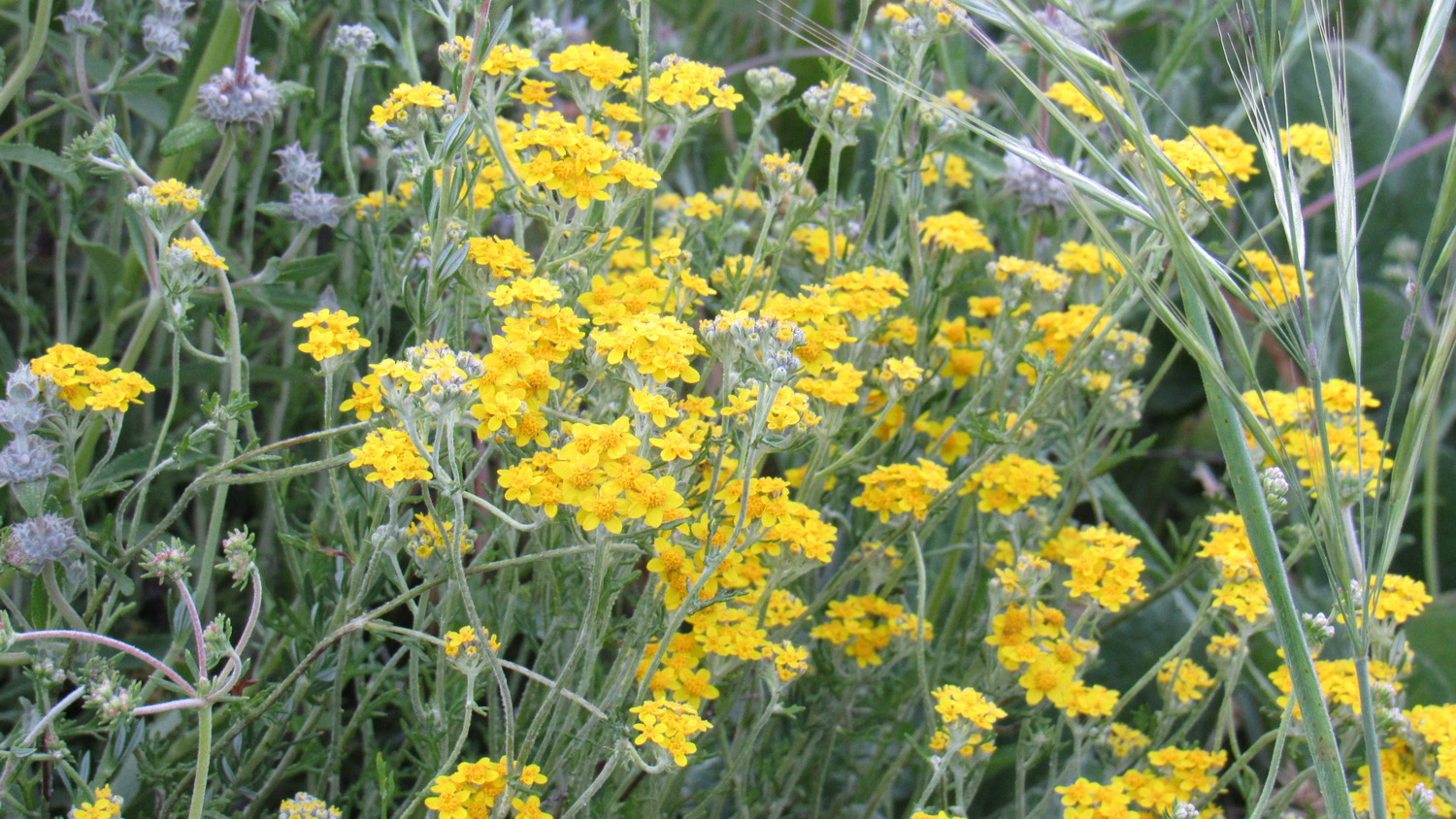
After cresting a hill, the Vista Grande Trail descends toward Monument Hill Road. Turn left to join Monument Hill Road for a .2 mile stretch until you reach a junction with the Punta Mesa Trail. Turn right onto Punta Mesa Trail and start a gentle descent through a broad, shallow drainage that, geologically speaking, is a continuation of the fault line you paralleled earlier. This drainage comes alive with a variety of wildflowers in March and April, including poppies, hyacinth, mariposa lilies, white and black sage, Mexican elderberry, monkey flowers, and golden yarrow.

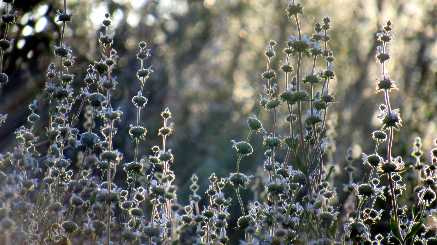
Black sage blossoms
Few people make their way to the Punta Mesa Trail, and so you’ll enjoy relative solitude as you continue your gentle descent along the drainage. The drainage eventually deepens, forcing the trail onto higher ground within chaparral and occasional groves of oaks. At 3.3 miles, the trail crosses a tributary creek before beginning a gentle ascent out of the drainage through richly-scented chaparral.

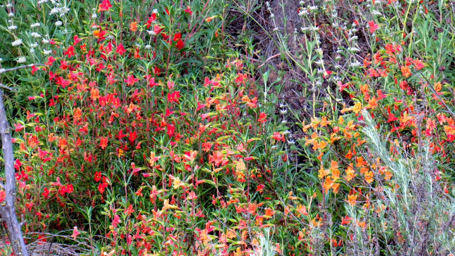
Monkeyflowers
After making a lazy switchback, the Punta Mesa Trail tops out at a Y-junction with the Adobe Loop Trail. Both the left and right fork of the loop trail will lead you to the adobe. The left trail, which is easier but less interesting, passes above a heavily wooded ravine along a fire road to reach the adobe after .5 mile.

Dense oak woodlands on the Adobe Loop
Although you’ll have close encounters with poison oak while adding more ups-and-downs to the route, we recommend you take the right fork. The right branch descends into dense oak woodlands alternating with sunny meadows before passing a seasonal creek with numerous tenajas. These tenajas are depressions in the creek bed that can hold water through the summer and thus serve as habitats for amphibians and other water-dependent wildlife.

The Moreno Adobe
The adobe, built by ranchers in 1845, is a relic of the plateau’s heyday as a 48,000-acre cattle ranch. Today, the well-preserved structures stand beneath the shade of some impressive oaks, and visitors can enjoy picnic lunches on benches in the courtyard of the adobe.

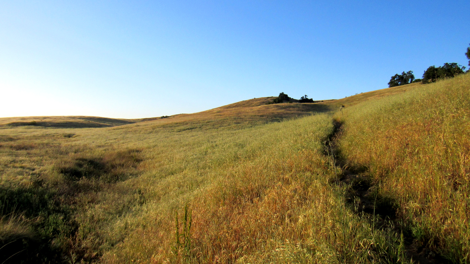
Grasslands along the Trans-Preserve Trail
To resume the loop after a well-earned break, join the wide Ranch Road leading west from the adobe compound. For hikers looking to extend their trip to the vernal pools (an additional 2.4 miles), turn left onto a narrow trail that ascends through oak woodland to the plateau’s highest tier. This volcanic terrace contains all of the reserve’s vernal pools, include the largest on the southwest corner of the plateau.

The largest vernal pool full after December rains
The vernal pools occur here because the underlying rock is too dense for water to percolate into the water table below. Instead, water accumulates at the surface forming vast, shallow pools that harbor rare forms of fairy shrimp. As the pools dry during the spring, they produce vivid wildflower displays. After visiting the pools, head toward the Vernal Pool Trailhead, but make a right onto the Trans-Preserve Trail, which will descend .8 mile back to Ranch Road.

Mt. San Gorgonio in the distance from the Trans-Preserve Trail
If you opt to skip this diversion, remain on Ranch Road for about .4 of a mile until you reach Trans-Preserve Trail. Avoid turning right onto the wider Monument Hill Road, which is less scenic. Trans-Preserve Trail lies just beyond Monument Hill Road at the base of a low hill that’s often covered with poppies in March. Turn right onto Trans-Preserve Trail.

Gnarled old Engelmanns on the Oak Tree Loop
For a while, the Trans-Preserve Trail parallels Monument Hill Road, but it gradually veers away to pass through a beautiful wooded drainage. After .5 mile on this gently undulating trail, you’ll reach a junction with the Coyote Trail. Turn right at this somewhat vague junction to round a hill and then drop down through more oak woodland adjacent to Clinton Keith Road. You’ll reach an even vaguer unsigned junction with the Oak Tree Loop, at which point you’ll need to go left since the right branch of the loop is overgrown and difficult to follow. This narrow path will eventually bring you to a wider access road, which will take you a few tenths of a mile east to Tenaja Truck Trail.

Chamise blossoms
The remainder of the hike follows the gentle Tenaja Truck Trail through vast meadows as it brings you to a reunion with Waterline Road. Turn left onto Waterline Road and beeline it back to the Visitor Center to conclude your hike. Note that the GPS track includes an optional diversion on the Granite Loop. This interpretive loop is a fine shorter option for families hiking with small children.
Tags: coast live oak, Engelmann Oak, Moreno Adobe, Punta Mesa, Riverside County, Santa Rosa Plateau, trans-preserve trail, Vernal Pools