Both the old and new San Juan Trails radiate westward from Blue Jay Campground in the Trabuco District of Cleveland National Forest through beautiful oak woodlands toward gorgeous coastal views. These parallel tracks are a popular route for mountain bikers wishing to take a downhill course from higher elevations in the Santa Ana Mountains down to the bottom of San Juan Canyon just east of Caspers Wilderness Park. Hikers may wish to avoid the long, hot descent by creating a loop along both routes that also includes a visit to the scenic meadows and springs at Chiquito Basin.
Please note that this route is different and entirely separate from the shorter San Juan Loop, which departs from the large parking lot across Highway 74 from the Candy Store. This route is much longer and more challenging, and confusing the two could lead to unintended adventures.
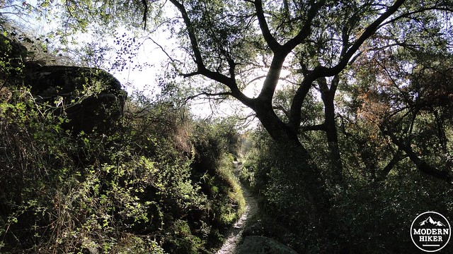
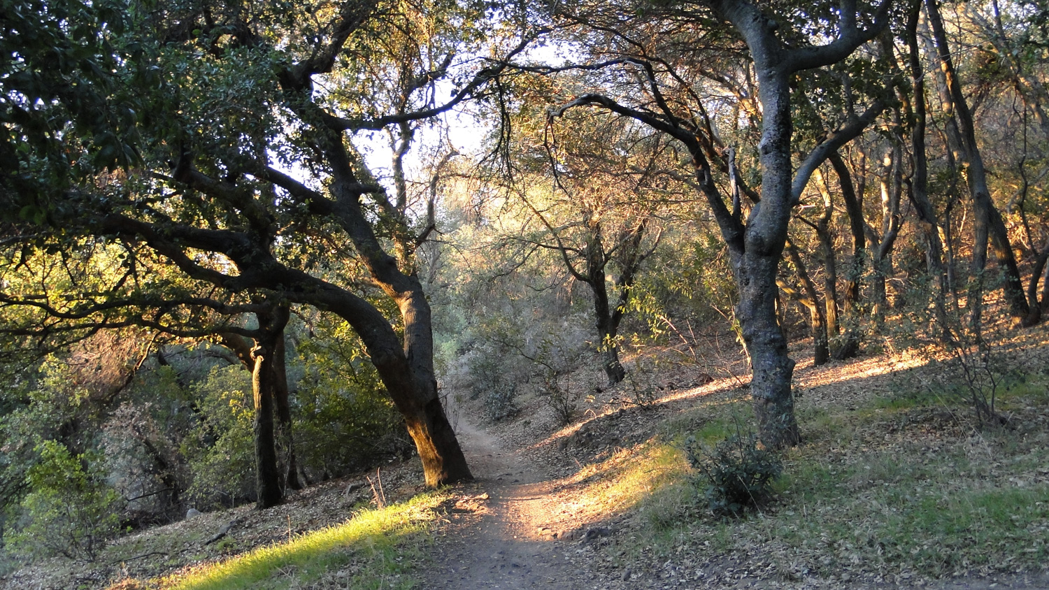
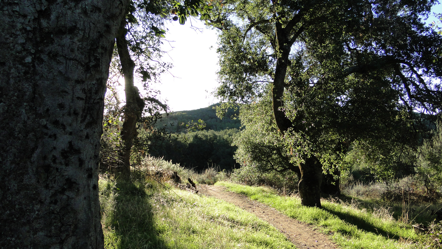
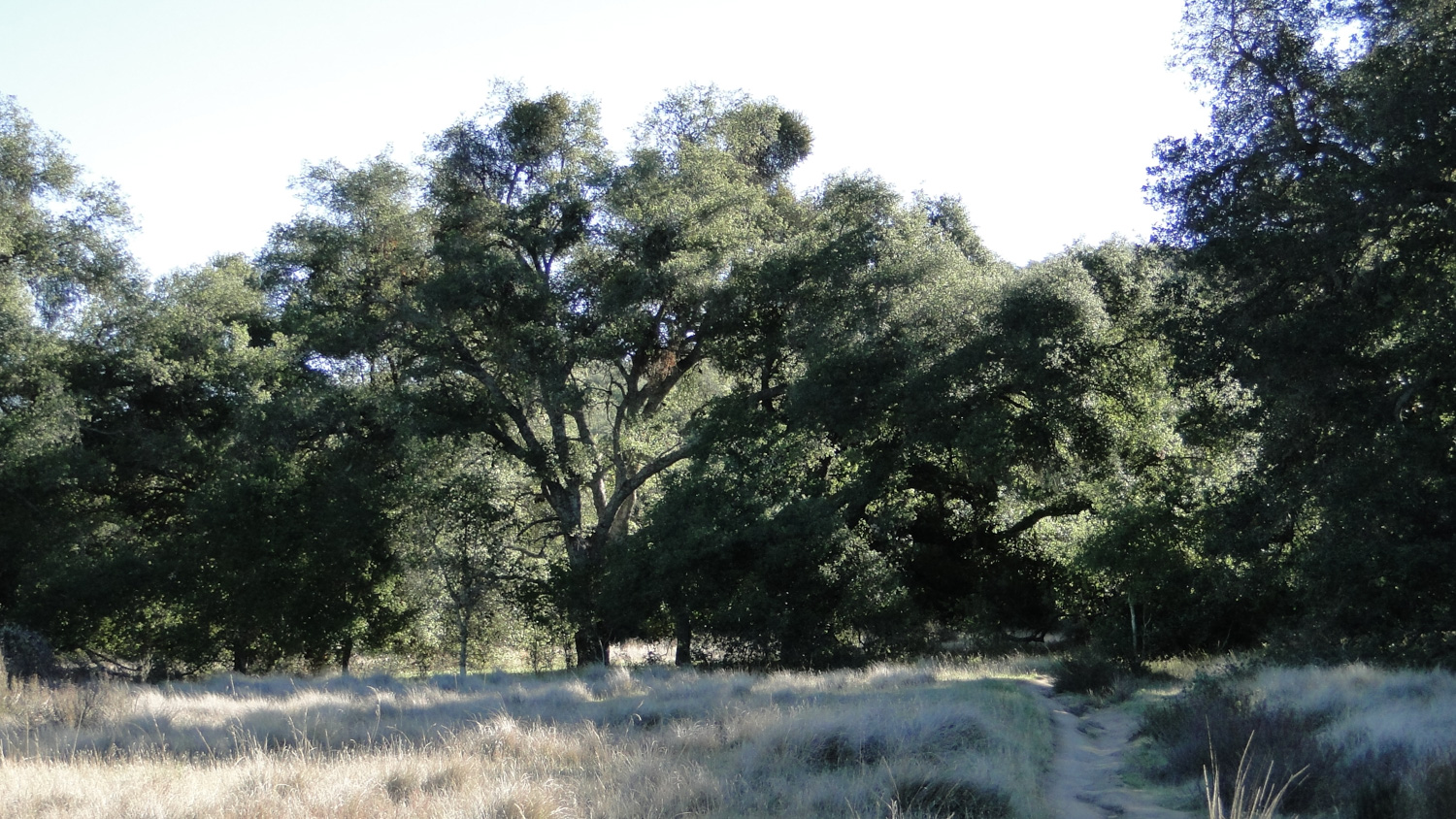
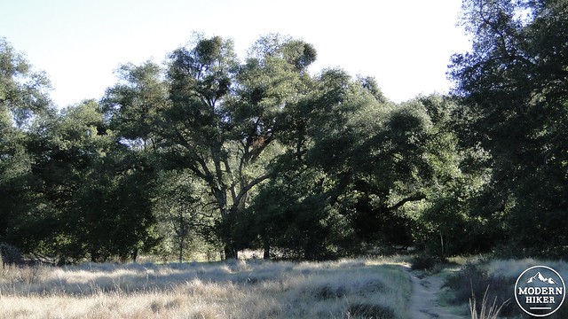
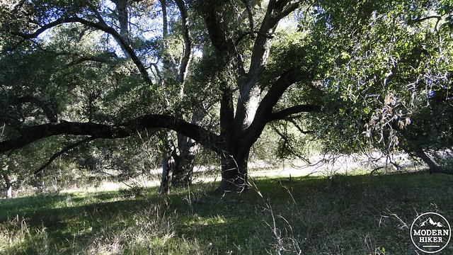
This route features oak woodlands so dense that they more closely resemble a legitimate forest. Precise, agreed-upon definitions of woodlands and forests are a bit hard to come by, but, simply put, a woodland is a low-density forest in which the trees are more widely spaced, creating an open canopy. Forests are denser, and often the canopy is closed, creating heavy shade. You’ll certainly encounter a mixture of both at the beginning and end of this hike, and walking in the cool shade of these oaks on a winter or spring day is one of the more pleasant hiking experiences you’ll find in Orange County.
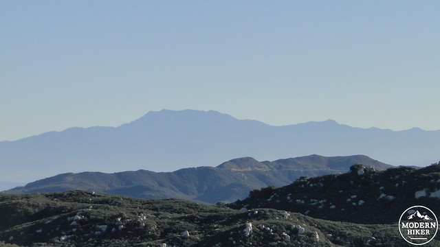
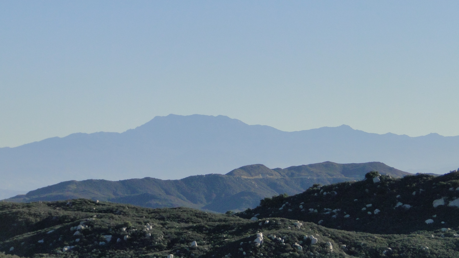
Mt. San Jacinto
The middle section of the hike occurs on sunny, open chaparral, for which some people use the fanciful term “elfin forest.” For those wondering why the vast majority of Cleveland Forest Land is actually considered “forest land,” chaparral is often sufficiently dense and achieves a great enough biomass to qualify as a forest – albeit a very vertically challenged one. Regardless of what you call the biotic zones on the hike, however, it all sits within Cleveland National Forest boundaries, which means you will need to display an Adventure Pass in your automobile. 
This route can be taken in either a clockwise or counter-clockwise fashion. We recommend a clockwise route primarily because sections of the old San Juan Trail descending into Chiquito Basin are very rough and steep and therefore more comfortable for descending rather than ascending. To begin, strike out south along the new San Juan Trail along a wooded hillside that is carpeted with fragrant white sage where oak woodland does not blot out the sunshine. You’ll continue along this hillside in a gently undulating fashion until you reach an unmarked junction with the Old San Juan Trail at 1.4 miles. Turning left on the Old San Juan Trail here will save you some time but cost you a chance to walk in cool shade through some of the densest oak woodland in the region.
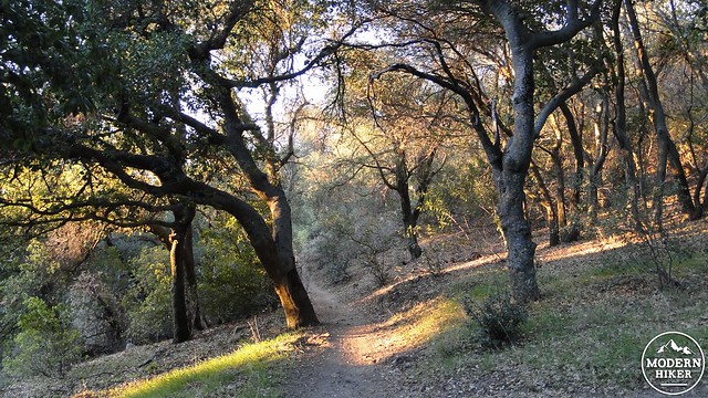

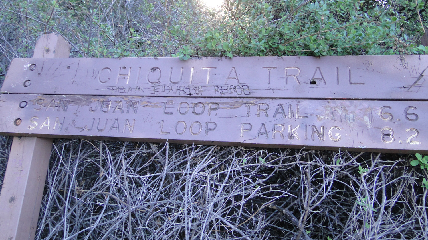
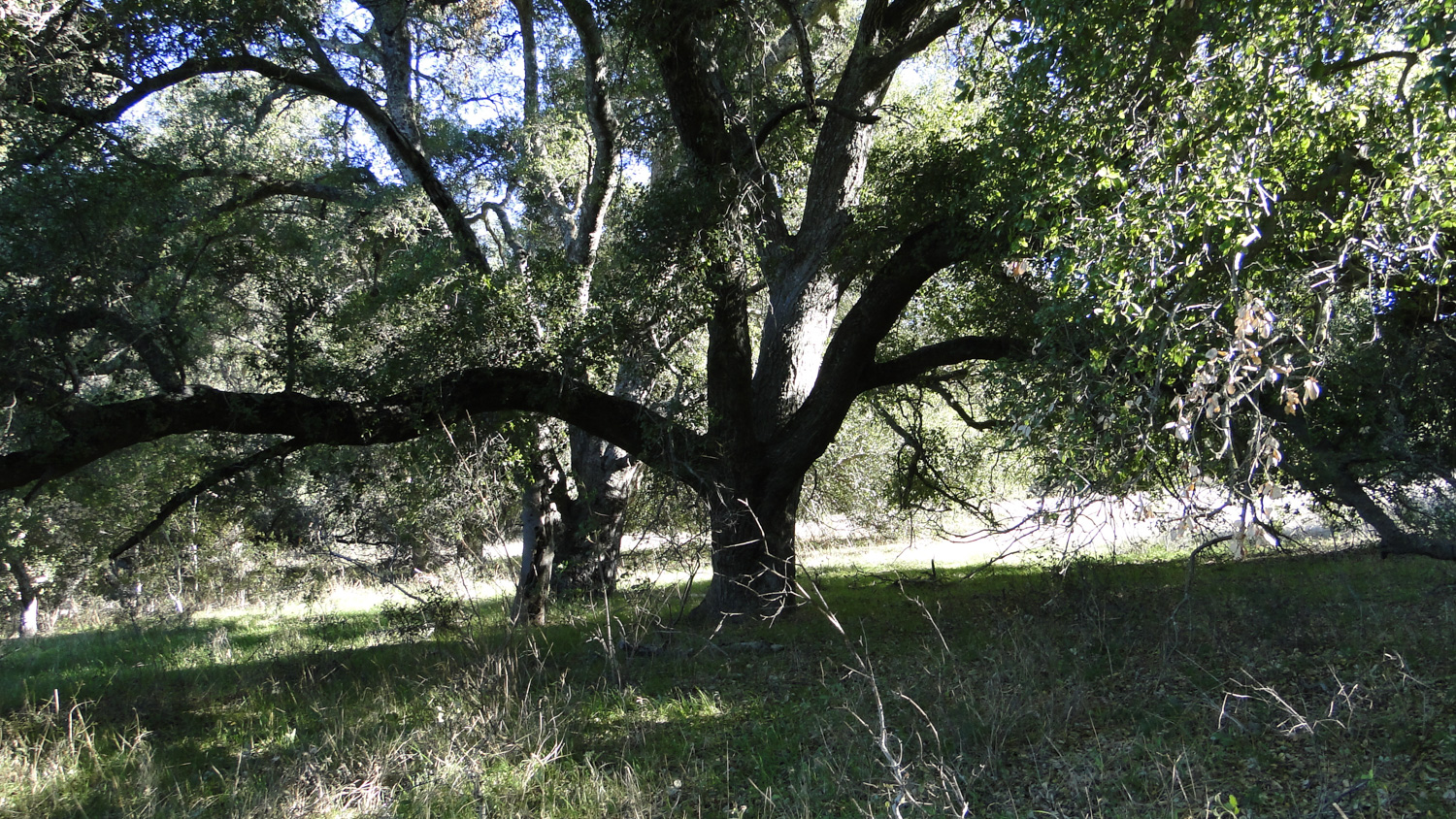
Stay straight and begin a gentle, winding descent through dense oak forest. At 1.9 miles, you will re-cross the Old San Juan Trail (this would be the destination for the aforementioned shortcut). Continue straight past this junction and pass through more open oak woodland before reaching another junction at 2.7 miles with the Chiquito Trail. Keep to the right at this junction, as the Chiquito Trail will drop you down through a side canyon for an unnecessarily long detour. Note that there is a sign here, but it is nearly impossible to decipher the directions, and quite frequently the sign is lying in the bushes anyway.

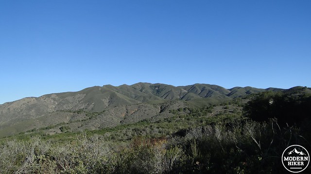
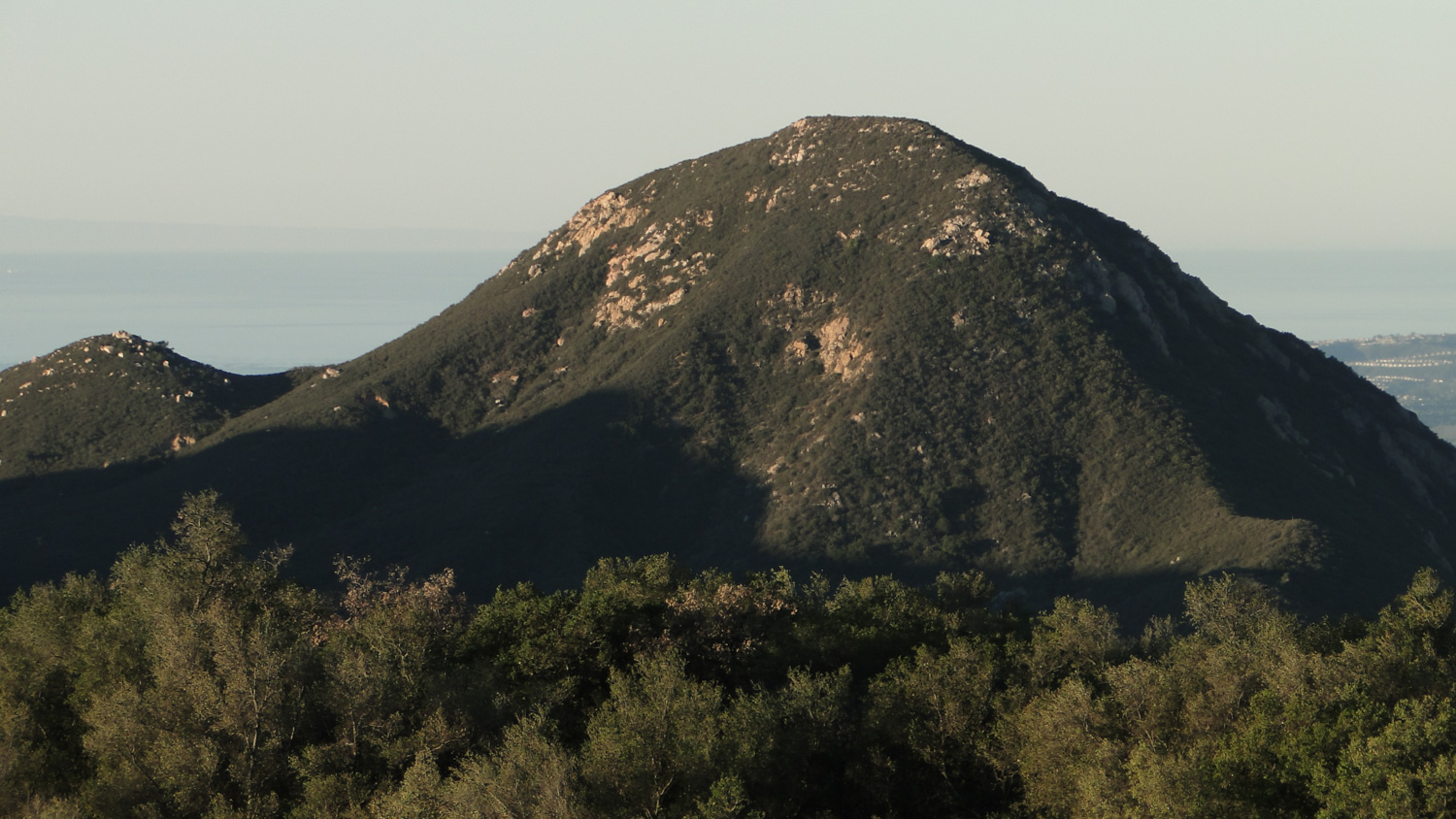
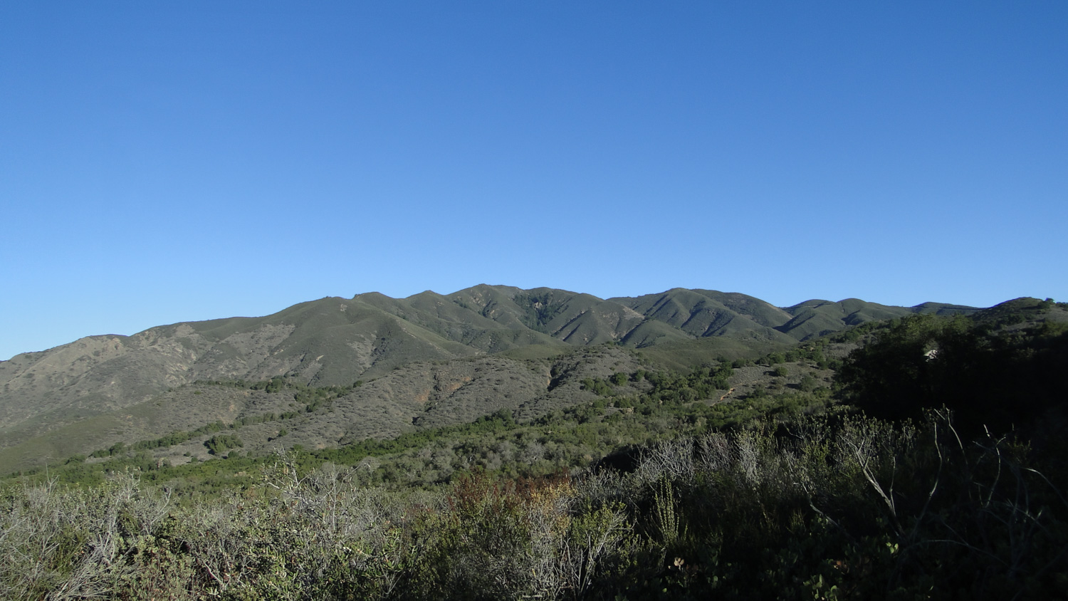
Los Pinos Ridge
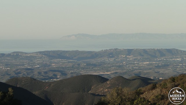
Santa Catalina Island in the hazy distance
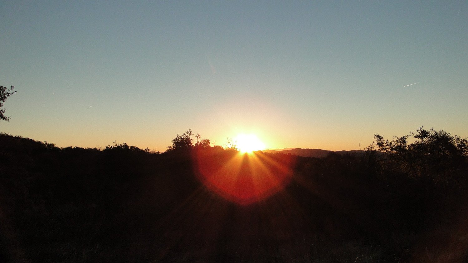
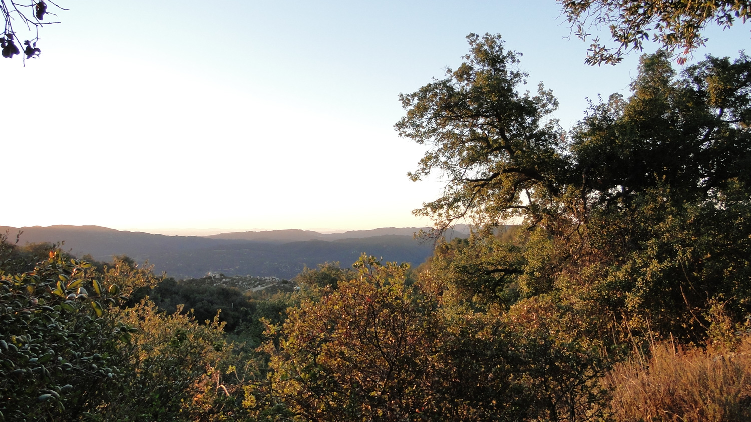
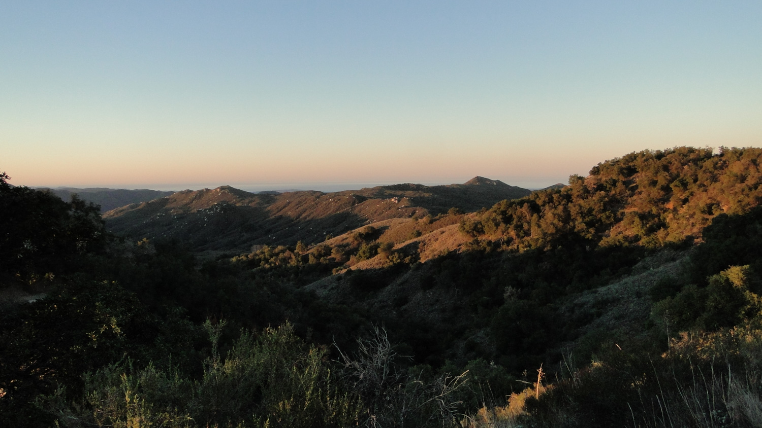
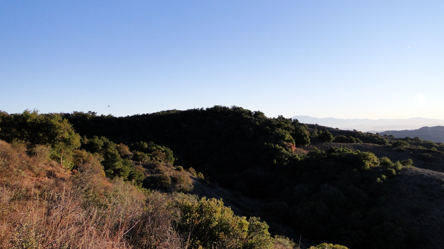
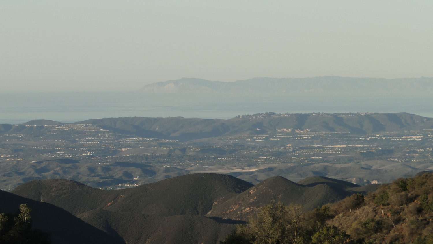
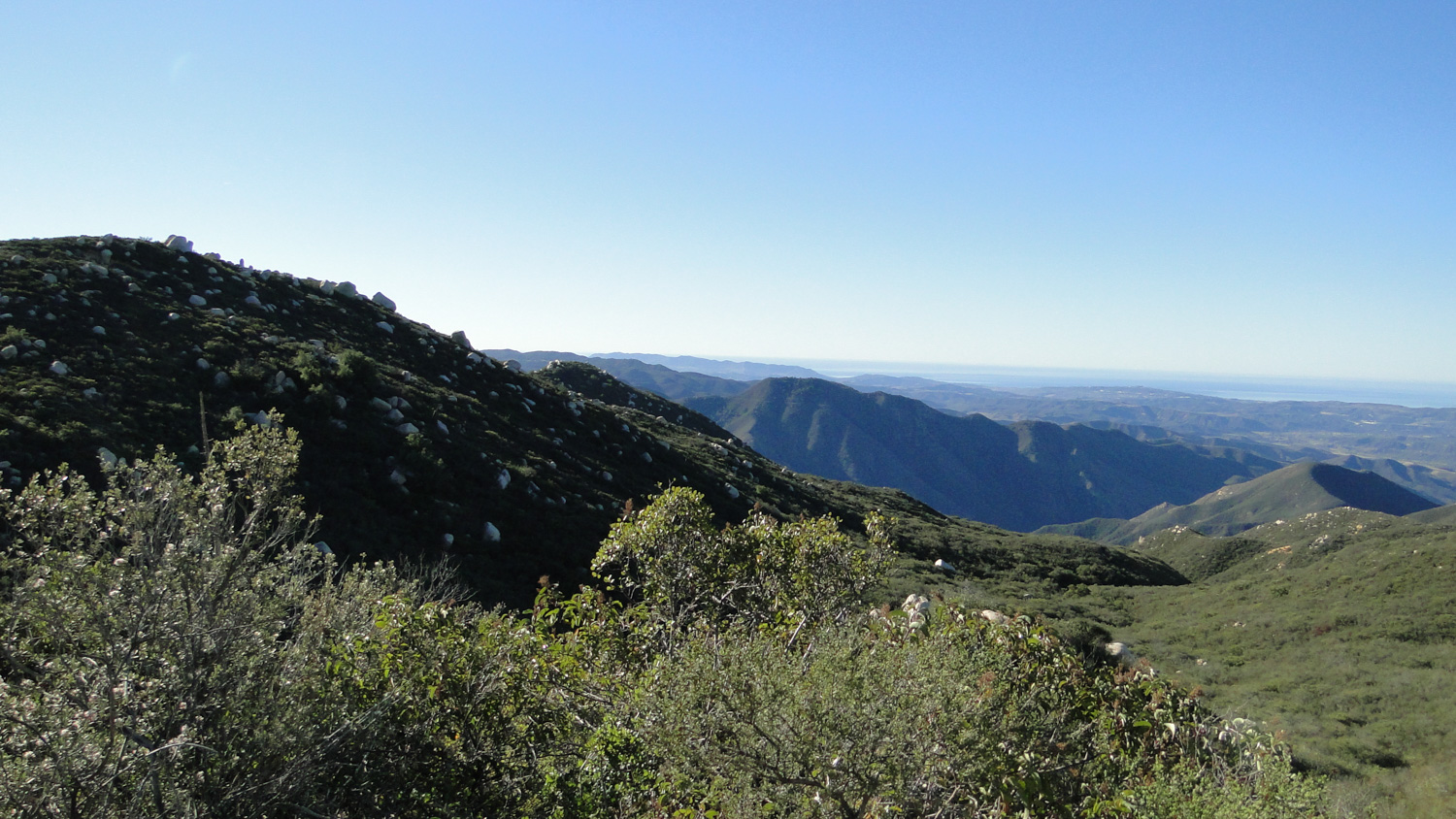
You will continue on in a generally southerly and then westerly course as you pass through another heavily wooded ravine before traveling up and out toward a ridgeline where the chaparral takes over. You’ll gain the occasional view east toward the San Jacinto Mountains and west toward the Pacific Ocean as you travel along this ridgeline toward another junction with the Old San Juan Trail at a spot known as Cocktail Rocks (4.9 miles), which owes its name to the presence of a large, flat rock near the junction. At this spot, you’ll gain the finest views west and south toward the ocean. On clear winter days, the scene can be inspiring, but the area is frequently socked in with fog during the spring and early summer months.
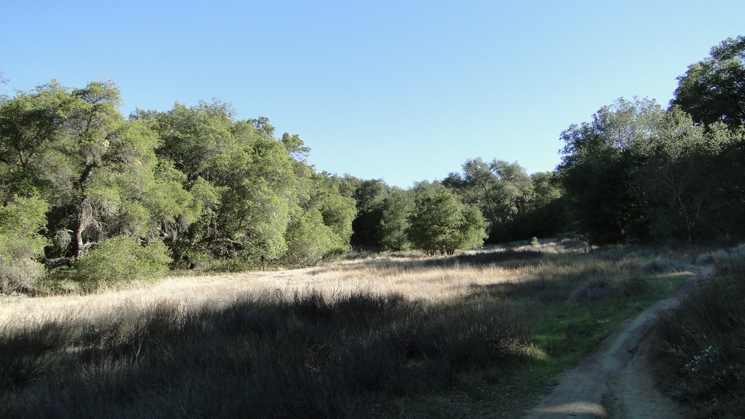
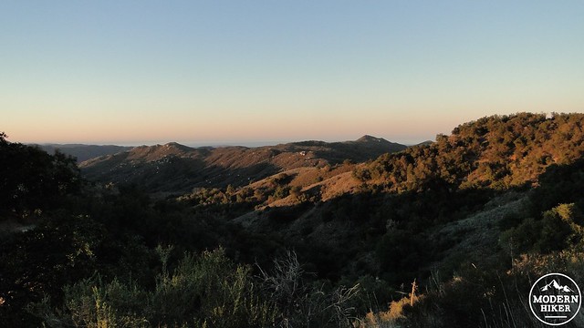
Chiquito Basin
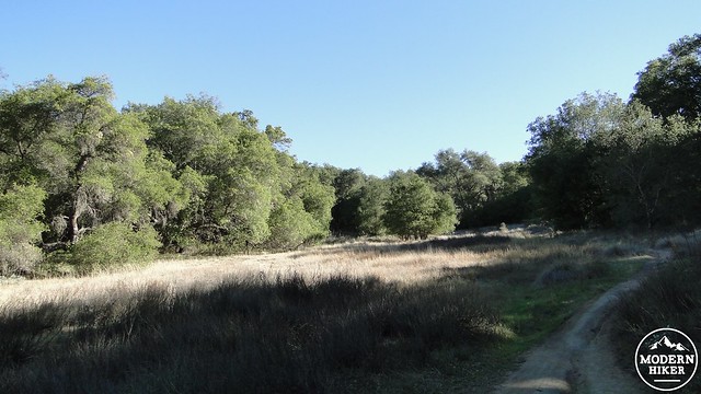
Turn right at the junction to travel northeast along the rutted and badly eroded Old San Juan Trail as it traverses a second ridgeline that parallels the one you recently left. At 5.5 miles, Old San Juan will begin a sharp descent into Chiquito Basin, where you will find sunny, sage-carpeted meadows rimmed by dense oak woodlands. Nearby Chiquito Springs serves as a watering hole for wildlife during wetter times, and your chances of seeing wildlife are elevated throughout this section of the hike.
Old San Juan continues in this way for another 1.2 miles before it returns to the junction with the New San Juan Trail at 6.7 miles. If you recall, staying on Old San Juan will allow you to shortcut the meandering New San Juan Trail a bit, although the shortcut is pretty steep and exposed. I recommend turning left onto New San Juan, which you can follow back along the sunny, sage-covered hillside from the beginning of the hike all the way back to your vehicle.
Tags: Blue Jay Campground, Chiquito Basin, New San Juan Trail, Old San Juan Trail