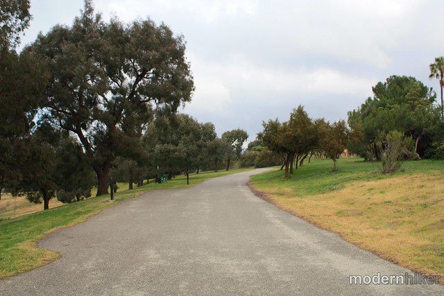
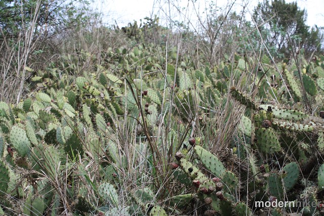
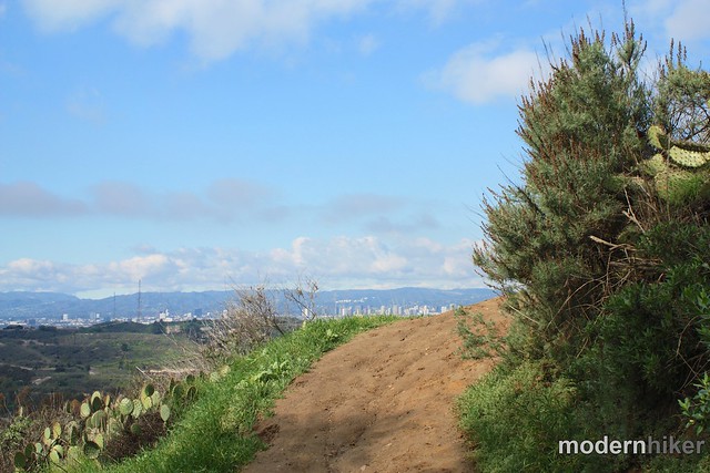
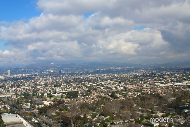
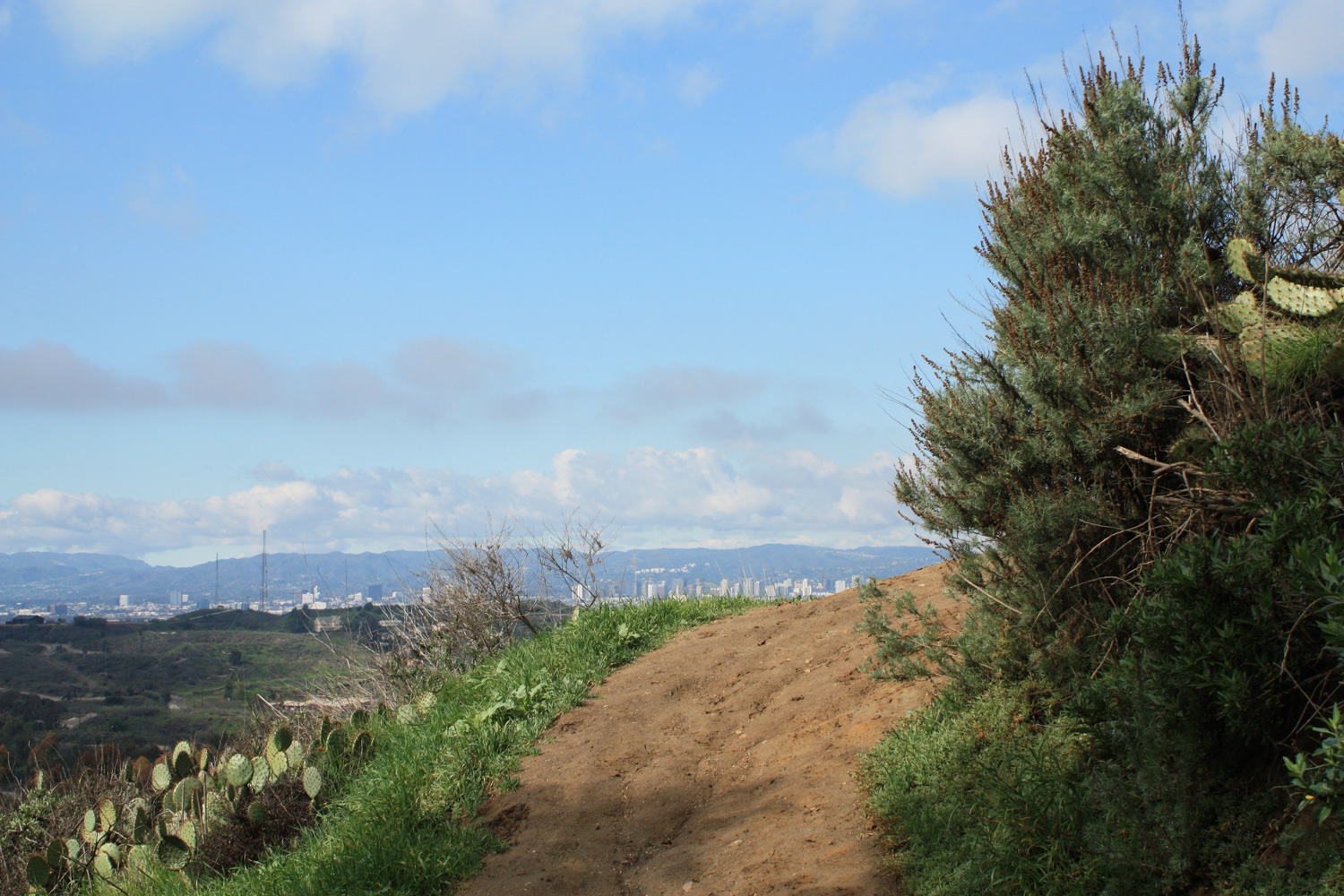
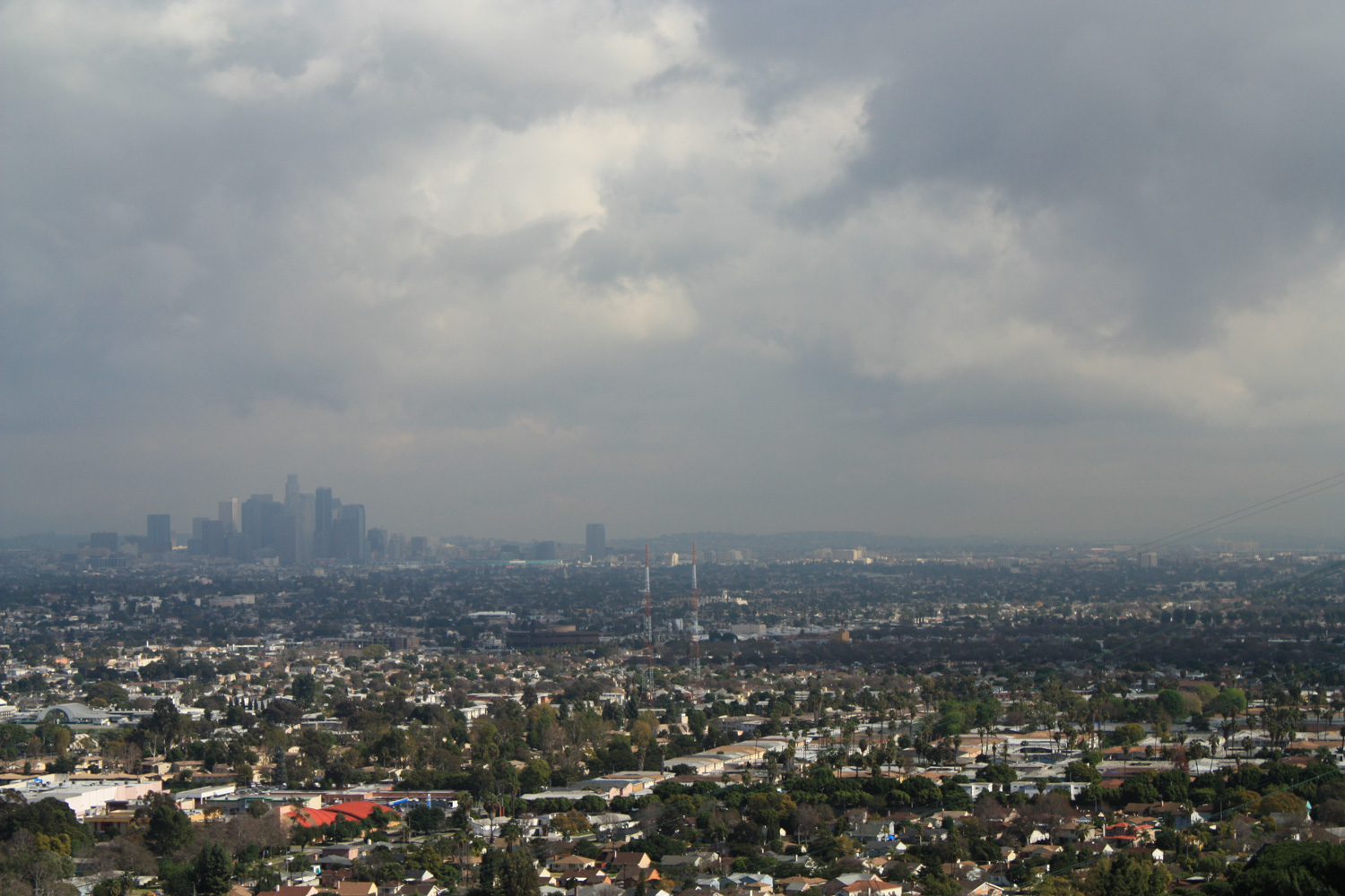
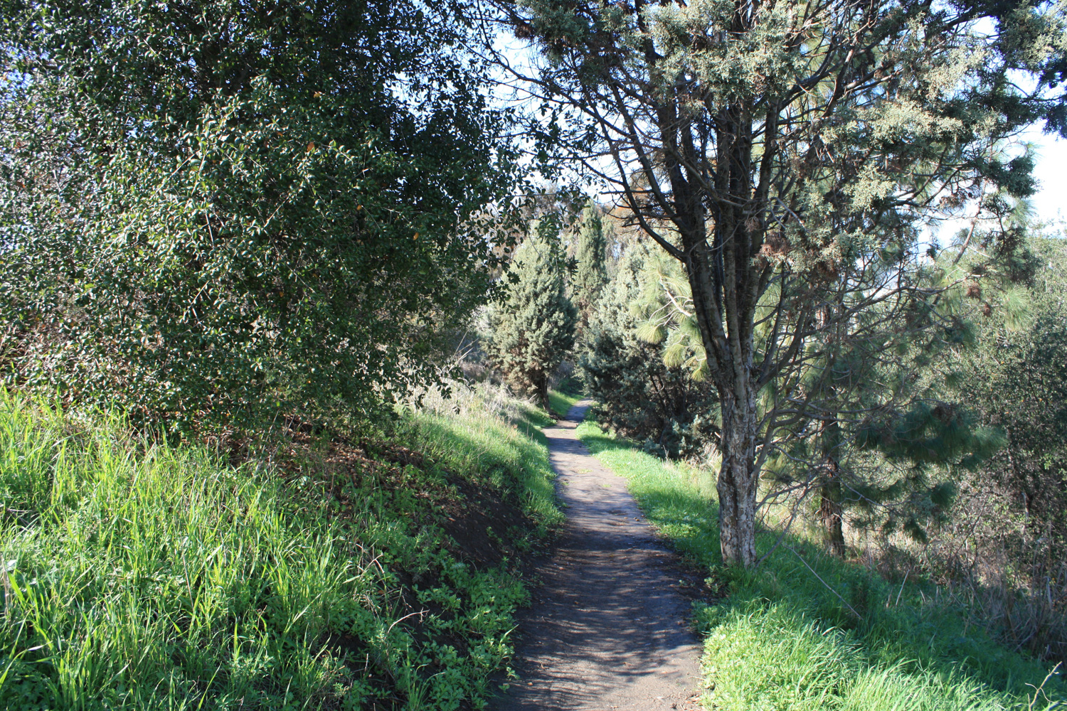
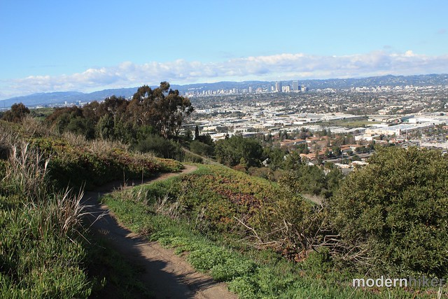
A lovely 2.6 mile loop in a park in the heart of L.A. sprawl. On clear days, this trail offers outstanding views of downtown, the San Gabriels, the Hollywood Hills, and beyond – and otherwise this park has wonderful bird-watching, surprisingly secluded and shaded trails, and lots of open green-space. This is a great little park that deserves a visit, especially if your experience is limited to racing through it on your way to LAX.
If you’re like me, you’ve driven through Kenneth Hahn State Recreation Area dozens and dozens of times on your way to catch a flight at LAX and never even considered actually going into the park. You see the La Cienega highway that runs through it (part of a thankfully aborted project to run freeway all the way north through Laurel Canyon) and the oil rigs at the Inglewood Oil Field and can’t even imagine why anyone would want to put a park there – and you’re doing yourself a great disservice.
Kenneth Hahn is 401 acres of greenspace in an especially park-starved area of our already park-poor city that also happens to be home to a surprising amount of L.A. history. Tongva natives lived here for 8,000 years before it was incorporated into Spanish ranchland. For the 1932 Olympics, the park was the site of the very first Olympic Village ever built. A reservoir was built here in the 40s, and in 1963 the dam collapsed, flooding the Baldwin Hills neighborhood below – and KTLA’s coverage of the disaster was the first time helicopter footage was broadcast live on television. Today, it’s the park where people can take super-clear photos of downtown L.A. with the snow-capped San Gabriels behind it:
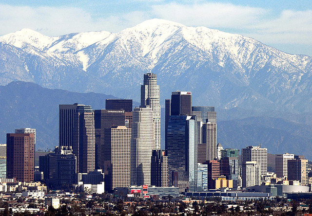
Image by Mitchel
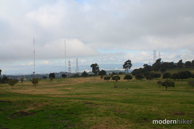
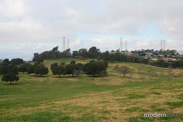
If you’re lucky, you’ll get enough quiet here to enjoy the birdsong that seems to fill the air. If you’re interested in our avian friends, the Los Angeles chapter of the Audubon Society hosts a free Birdwalk in this park on the third Saturday of every month (except for July and August). The walk lasts from 8 to 11:30AM and you can find more information on their web site.
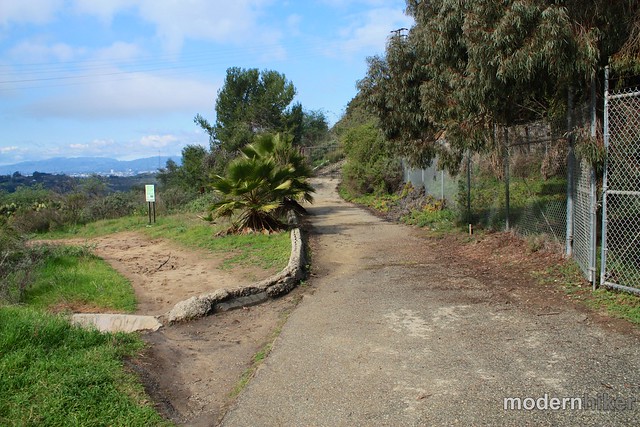
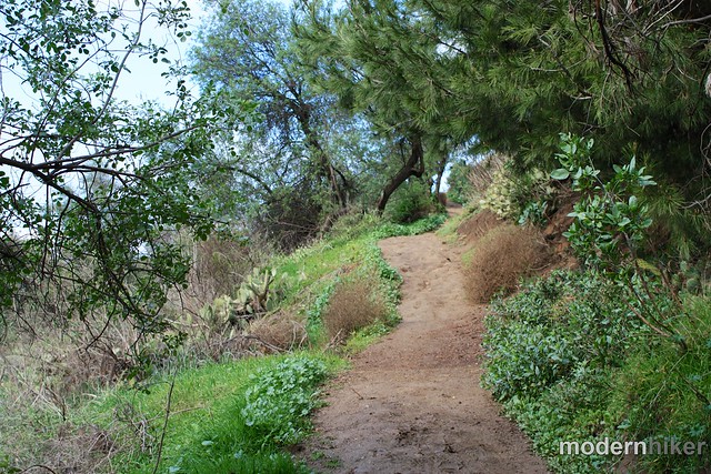
Now, it is true that for large sections of this hike, the Inglewood Oil Field will be visible. In some parts of the lower park, you’ll even be able to hear the machinery. So if that’s the sort of thing that’s going to completely ruin your day, you might not want to head to this park. But if you can look past that grossness, you might be lucky enough to see the Santa Monica Mountains and the Pacific Ocean behind them.
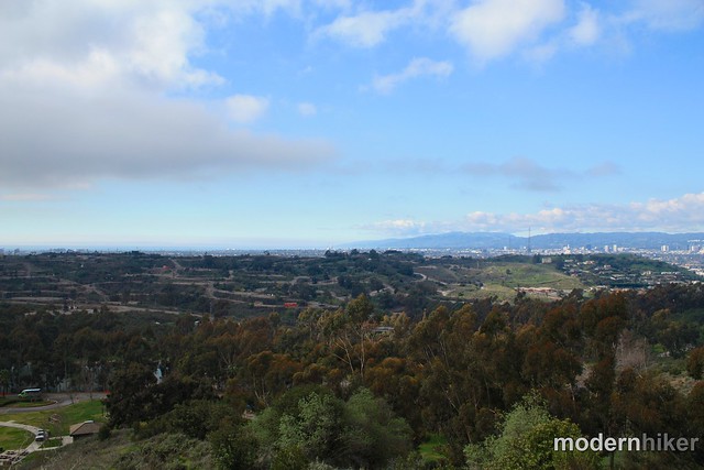
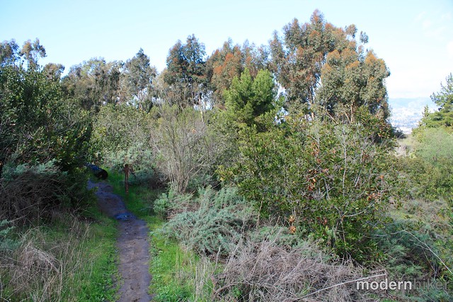
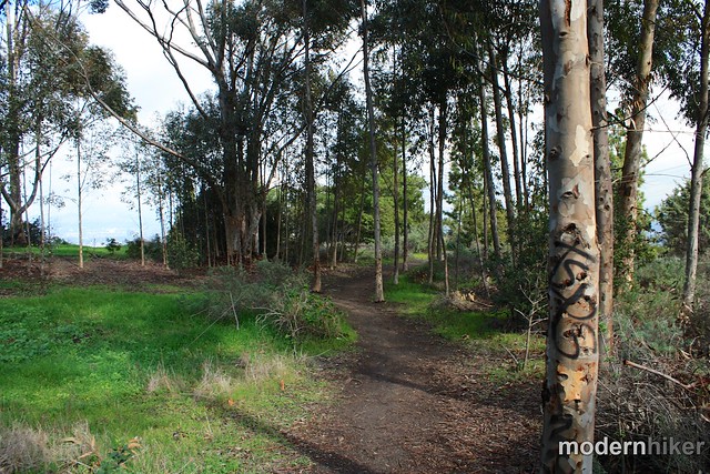
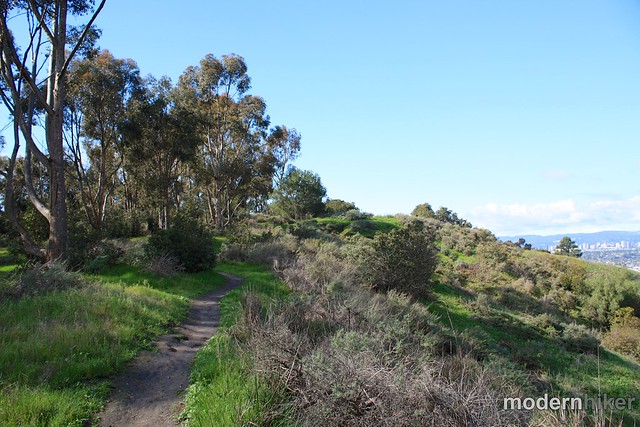
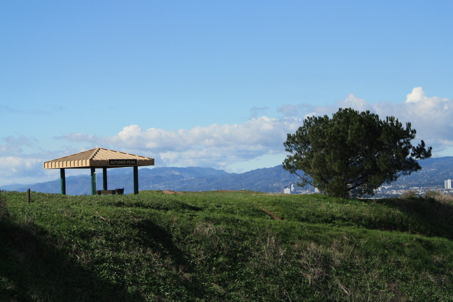
At the 1.1 mile mark, the City View Trail meets back up with Diane’s Trail right near the Autumn’s Peak overlook area. Stay on the City View Trail as it makes a short descent directly below Diane’s Trail and heads west toward another forested area – and make sure to enjoy the nearly panoramic views from here.
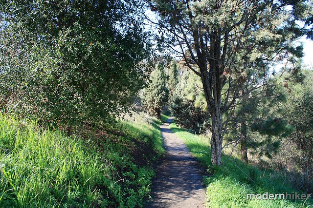
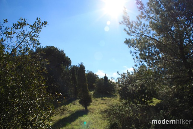
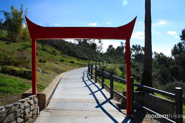
From here, go beneath the red gate and stay on the sidewalk as the path takes you into Doris’ Japanese Garden – a small but well-kept landscaped area that also appears to be a popular spot for wedding, prom, and quinceañera photos. Stroll through this area and continue along the roadway or look for a short parallel trail through the trees just to the east of the restrooms (look for a small brown bridge).
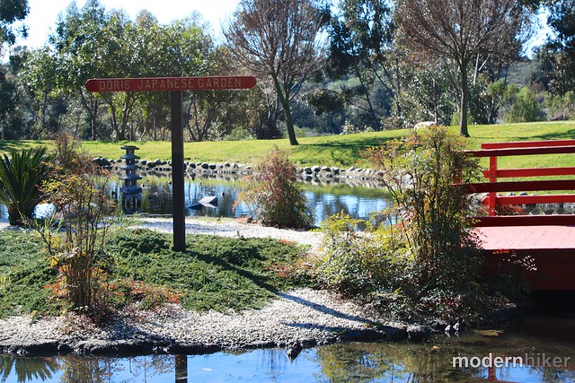
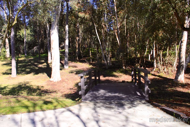
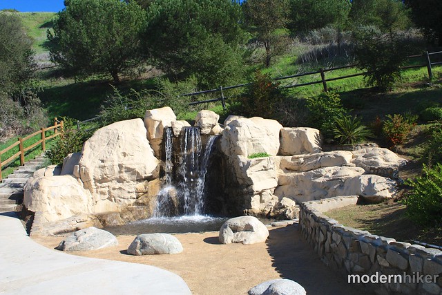
From here, the Community Loop Trail continues on sidewalk and along the street back up to the parking lot, but if you’re intent on staying on trails there are a few use-trails and fire roads that will ascend from here back up to Diane’s Trail. If you want to stay on the official route, continue along the park roads, walking through Gwen Moore Lake and along an artificial babbling brook. The water features may be man-made, but when I was there they were full of ducks, geese, and herons.
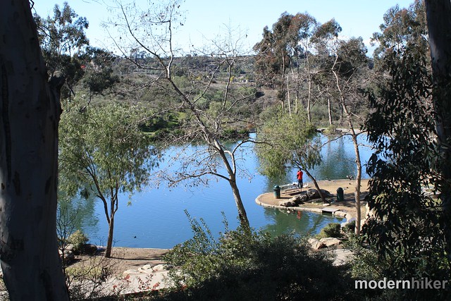
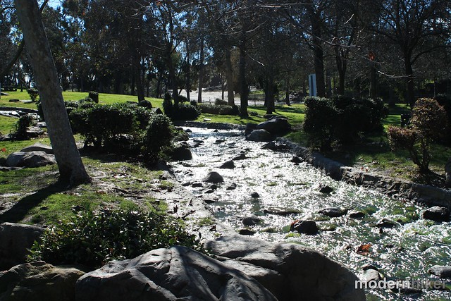
After the brook, the sidewalk will follow the main road up an incline back to Janice’s Green Valley and your car – or you can wait and hop on the shuttle back to the Expo line!

Tags: birdwatching, city-views, Community Loop Trail, dog-friendly, Hiking, history, Kenneth Hahn State Recreation Area, Los Angeles, transit accessible


