There are many popular and quite lovely trails in the Puente Hills Preserve – and it’s a place I highly recommend visiting, especially if you’ve overlooked this region for the San Gabriel or Santa Monica Mountains on your quest for Los Angeles area hiking. Of the trails I’ve done so far, however, this route in the Hacienda Hills stands out. Not only is it one of the few areas in the system where hikers can enjoy trails set aside for them alone, but unlike nearby trailheads for Worsham and Turnbull Canyons, this trailhead has ample parking, water and restrooms, and a very nice section that’s fully accessible, too (along with accessible parking!).
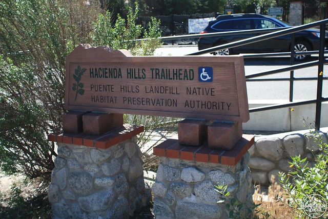
This trail begins just outside the Orange Grove Middle School in Hacienda Heights, an unincorporated area of Los Angeles County that is home to the largest Buddhist temple in North America and the northern slopes of the Puente / Hacienda Hills. There is a very small parking area at the trailhead itself, as well as a large parking area on 7th Avenue, adjacent to the Middle School’s playing fields.
Please note that hours of this trailhead have been reduced — this trailhead is currently open from 9AM-6PM from June 1-September 30th and 9AM-5PM the rest of the year. Be sure to check with the Puente Hills Habitat Preservation Authority for further updates.
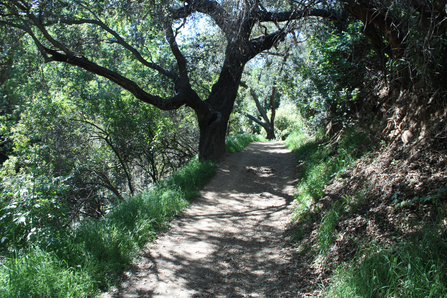
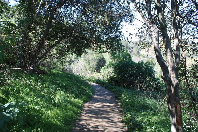
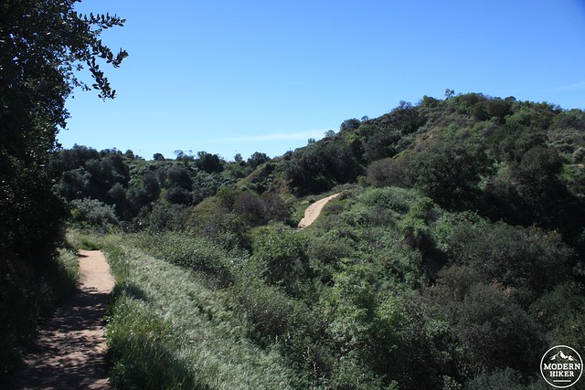
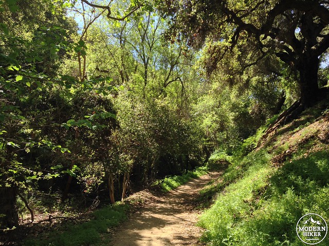
The mixed-use trail passes a wrought iron gate (and restroom and water fountain) and makes a very slight ascent. The Habitat Preservation Authority has done a really nice job of re-landscaping the side of this old road with native plants and bioswales, which cleanse rainwater and runoff and also help keep precipitation in the region’s aquifers instead of just draining it all into the Pacific Ocean. In the spring, this stretch of trail is full of blooming sages, California poppies, and goldfields. Young sycamores and native oaks will hopefully provide even more shade and a lovelier introduction to the area for future hikers.
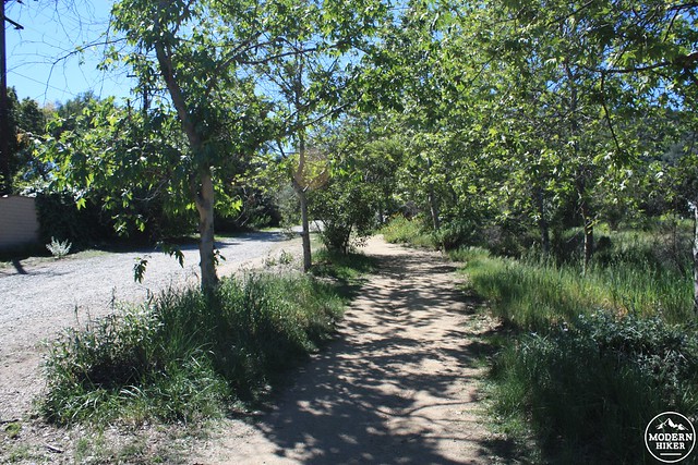
At about the 0.26 mile mark, the paved, accessible trail ends at an informational kiosk and small shaded bench. Here, cross the road and join the hiker-only Coyote Trail.
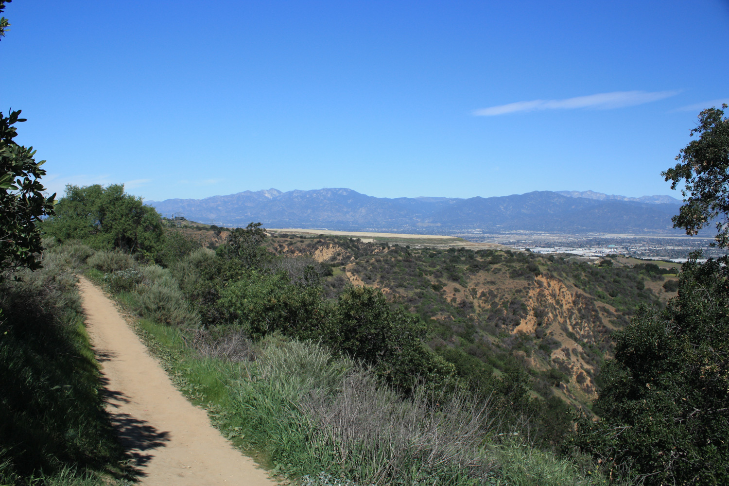
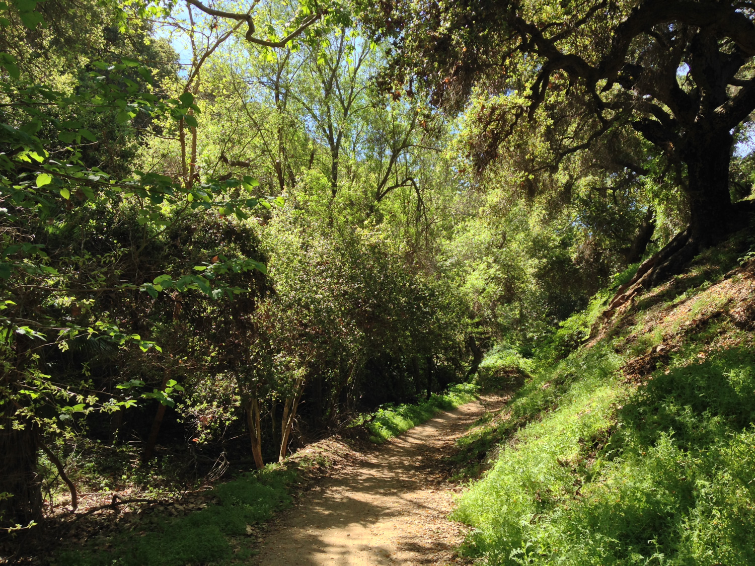
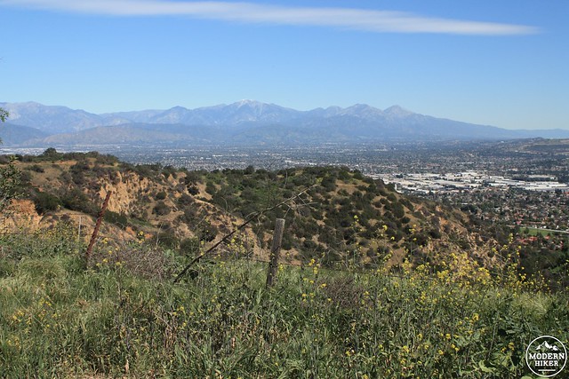
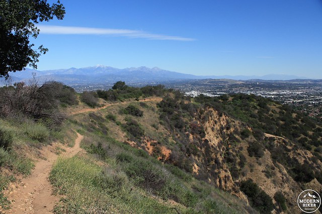
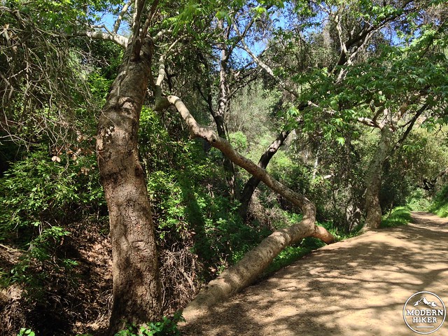
This trail wastes no time in climbing up the north side of the Hacienda Hills. Thankfully, the trail is moderately shaded here – and on clear days you’ll also have some truly beautiful views of the San Gabriel Mountains to the north.
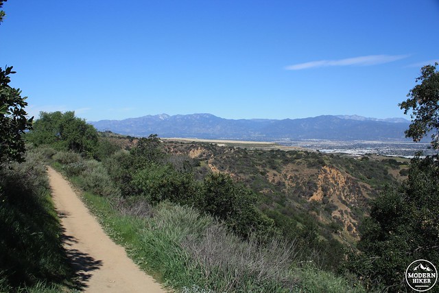
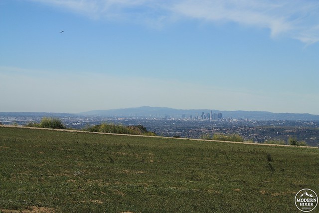
Through clearings, you’ll also be able to see the remnants of the Puente Hills Landfill to your west. The largest landfill in the United States, the Puente Hills Landfill has been closed since 2013, but the Puente Hills Landfill Native Habitat Preservation Authority is still responsible for the system of parks and green spaces that snake through the region. The Authority is continuing to restore and protect native habitats and is also actively adding more land to its system – including a planned park that will eventually cover the former landfill area.
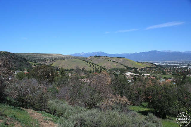
The terraced hills of the landfill are visible to the left
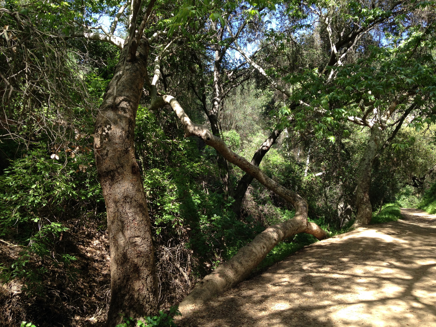
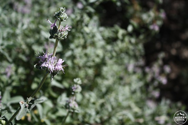
On hot days, you will very much appreciate the tree cover on this section of trail. Be sure to check by the ground for some beautiful stretches of native miners’ lettuce – and also be on the lookout for poison oak. The shrub / vine is also very happy on these shaded north-facing slopes.
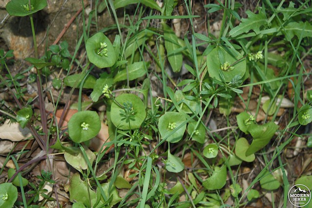
Miners’ lettuce
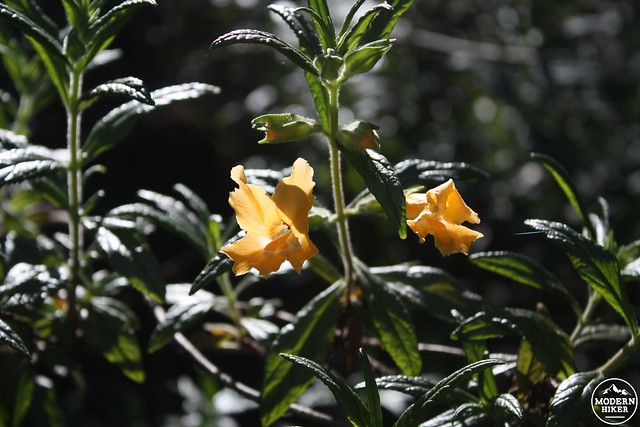
Monkeyflower
Around the 0.9 mile mark, the trail nears a small saddle between the Hacienda Hills and the residential area along Oak Canyon Drive to the south. The trail is lined by lovely grasses here, and a large prickly pear stands guard over the saddle to the southeast of the trail.
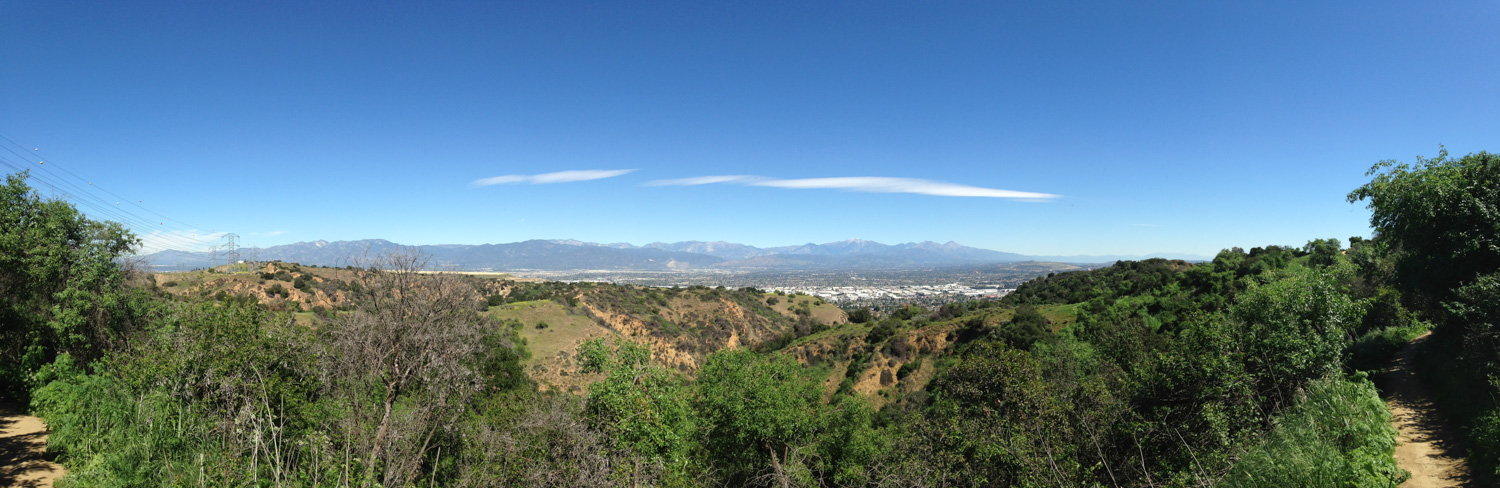
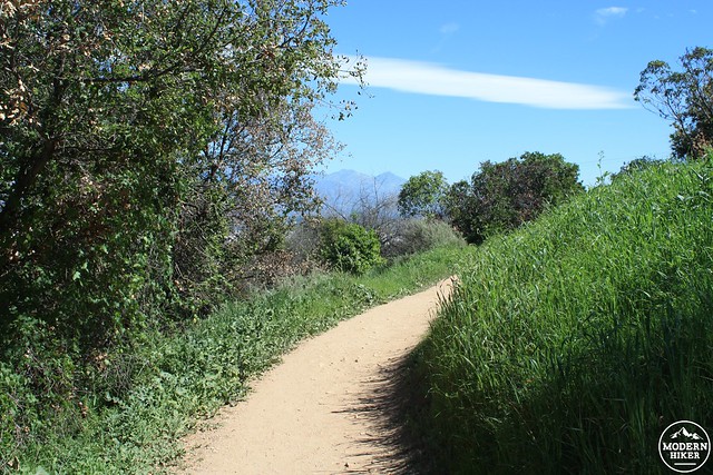
Continue as the trail meanders toward the southwest, giving some more stellar vistas of the San Gabriels (and your return route, too).
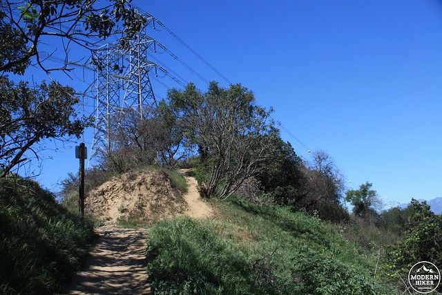
Near the 1.44 mile mark, ignore the use-trail that continues climbing and instead join the Skyline Trail heading west.
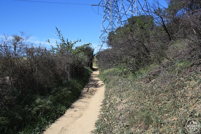
This section of the Skyline Trail is actually separated from the wider Skyline Drive fire road that is present in nearly all sections of the Puente Hills Preserve lands. There are places to hop onto the fire road if, say, you wanted to string together a longer loop with the Turnbull Canyon Trail, but they are few and far between.
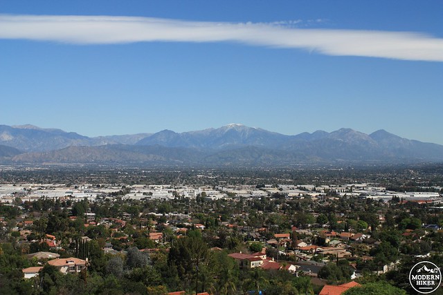
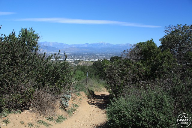
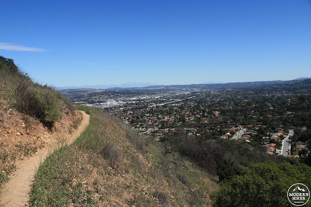
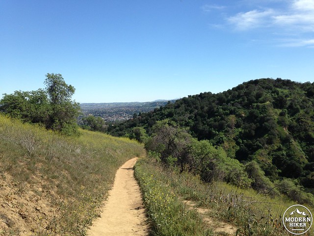
At 1.54 miles, ignore the turnoff for the Ahwinga Trail and continue on the Skyline Trail as it turns north. To the west, you’ll have views of downtown Los Angeles and the Santa Monica Mountains, while to the northeast you’ll see some really nice views of the high eastern San Gabriels.
Although the views are nice along this part of the hike, the trail itself is still just a fenced-off section of an old fire road and isn’t exactly what one would call “beautiful.” Thankfully, you’re about to get back to some actual trail hiking.
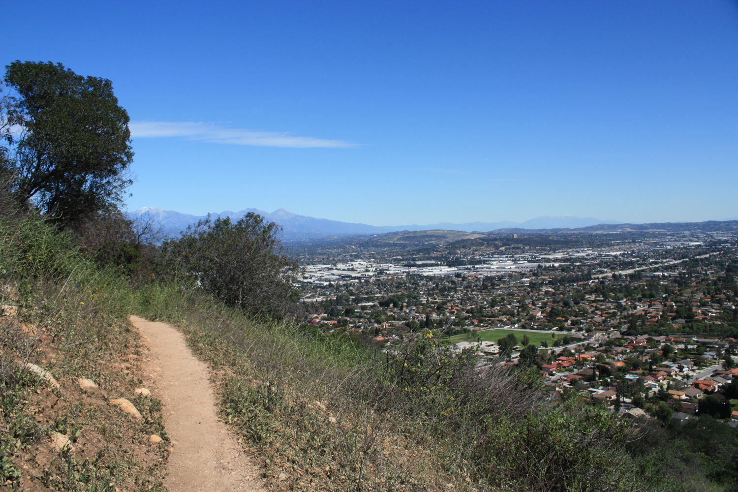
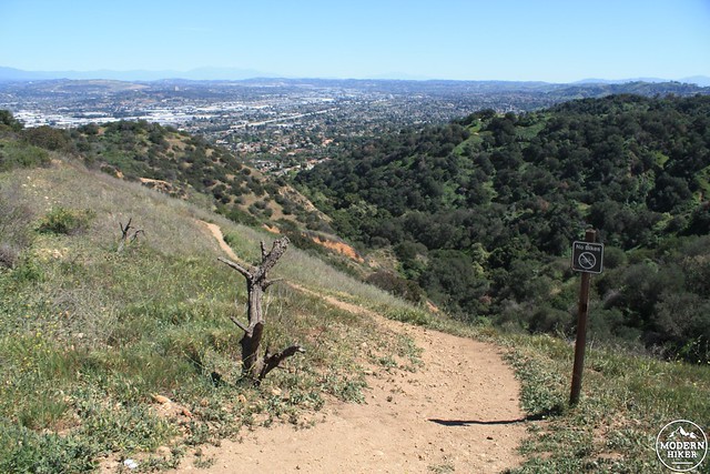
At the 2 mile mark, the Native Oak Trail makes a short and steep climb over an area of loose rocks. Just over the crest at 2.07 miles, leave the Native Oak Trail and turn right to start on the hiker-only Puma Trail.

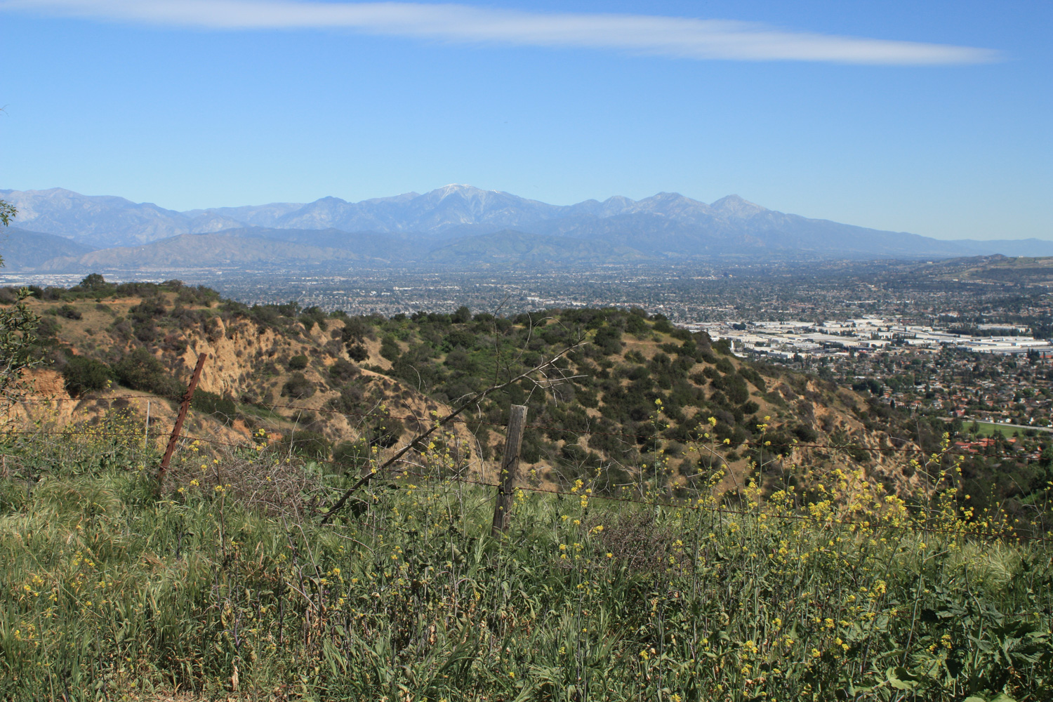
Unlike the Coyote Trail, the Puma Trail is much more exposed to the elements. If you’re hiking this on a hot, sunny day, be prepared to feel it. Be sure to bring plenty of water – and distract yourself from the physical discomfort by enjoying some of the truly stellar views you’ll have along the way.
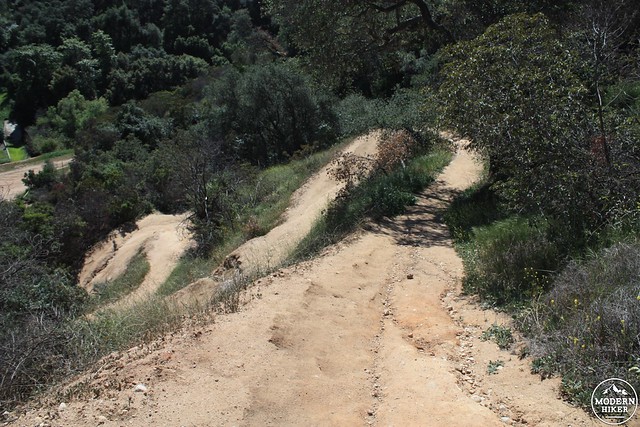
At 2.58 miles, the trail begins a significant descent, mostly on a series of tight switchbacks. As with most of Southern California trails, this one tends to get dusty, so take care not to slip on the way down.
In a mildly discouraging part of this hike, although you will be descending about 320 feet in the next 0.4 miles, you will also regain all of that elevation and re-lose it shortly afterward. This is why although there’s only a 655 foot total gain on this route, you’ll probably feel like you did a lot more work than that once you’ve made it back to the trailhead.
At 2.8 miles, the Puma Trail rejoins the multi-use Native Oak Trail and you’ll hit the bottom of the Los Angeles basin at 2.95 miles. Apparently the Puma Trail used to head northeast from here, paralleling Beech Hill Drive until it met with Orange Grove Avenue. However at the time of writing (March, 2015) this trail was closed – and didn’t even look like it existed.
Don’t fret – because even though you’re about to gain and lose elevation again and make a very indirect return to the trailhead, that route also happens to take you through some absolutely gorgeous native canyon woodland – an environment that’s drastically different from anything you’ve seen on this trail so far.
By mile 3.1, you’ll leave the sun-blasted hillside trail and enter an almost totally shaded riparian canyon, full of mature oaks and sycamores. The contrast between what you’re hiking now and what you were hiking before is pretty shocking to say the least – and a very welcome change of scenery on hot, sunny days.
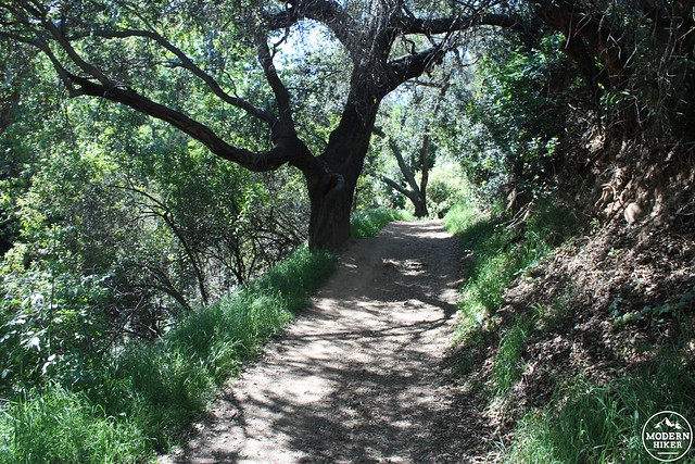
Do be aware that you are back on a shared trail here. Keep your ears peeled for the sounds of mountain bikers who may not see you around sharp bends or steep inclines.
By mile 3.35 you’ll start another steep ascent as the trail switchbacks up a long ridge to the southeast. At the 3.75 mile mark, you’ll meet up with the Ahwinga Trail again. Continue heading east on the Ahwinga as it begins a relatively steep descent (and again, keeping an ear out for cyclists behind you).
At 4.15 miles the trail ends at the remnants of a paved road leading to a water tank. Continue east and the road will be above the backyards of houses on Old Canyon Drive. By 4.3 miles, you’ll be back at the junction with the Coyote Trail. Continue back to the trailhead the way you came in.
Tags: Ahwinga Trail, Coyote Trail, hacienda heights, Hacienda Hills, puente hills habitat preservation authority, Puente Hills Preserve, Puma Trail, Skyline Trail, whittier