The Grotto Trail is a short hike to one of Southern California’s classic hiking destinations. An easy route that can extend as far as you want, with great opportunities for climbing and a wonderful place to refresh your bouldering skills.
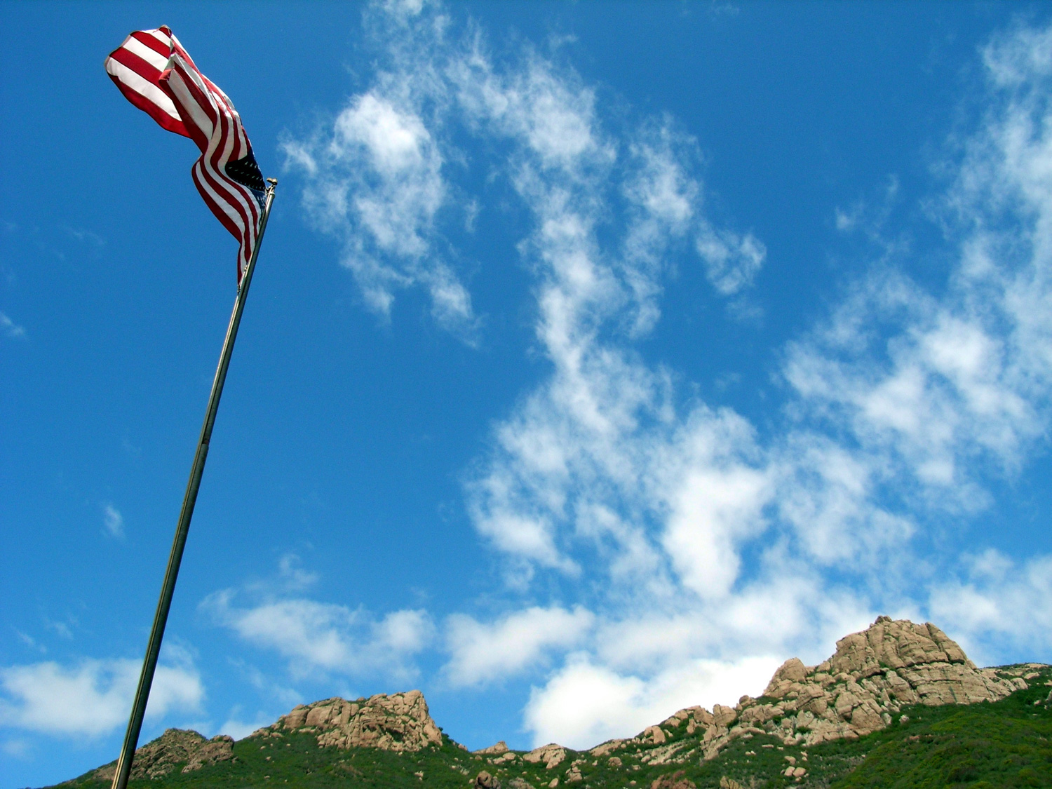
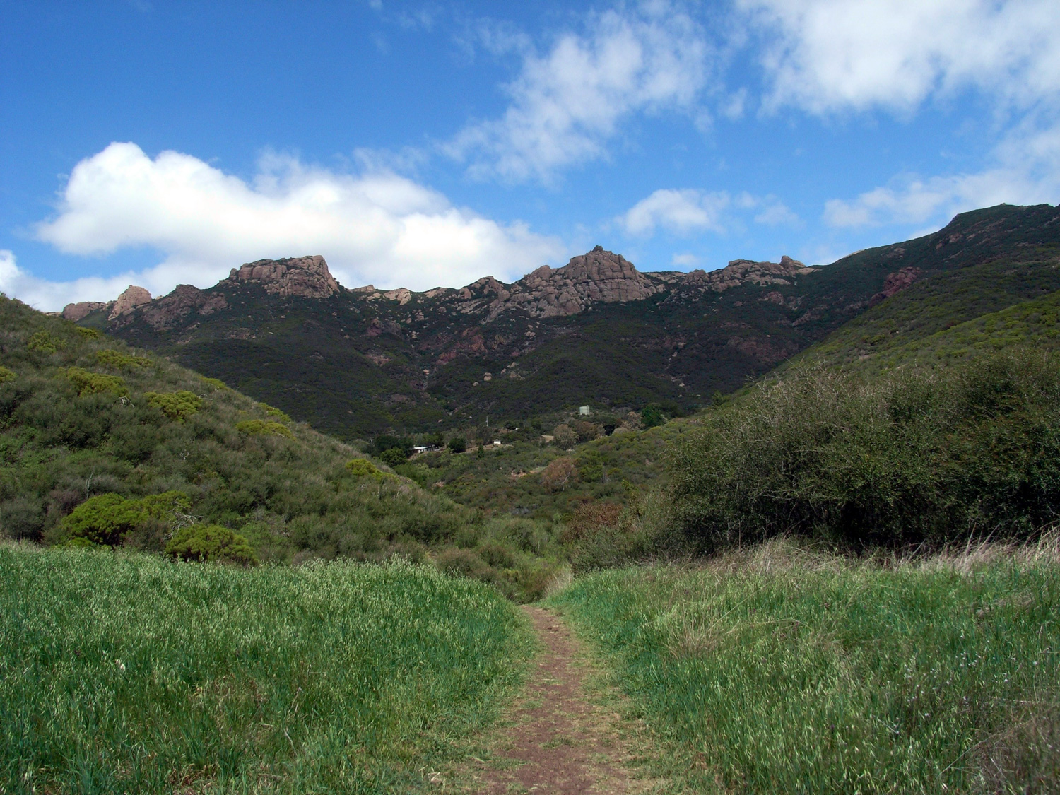
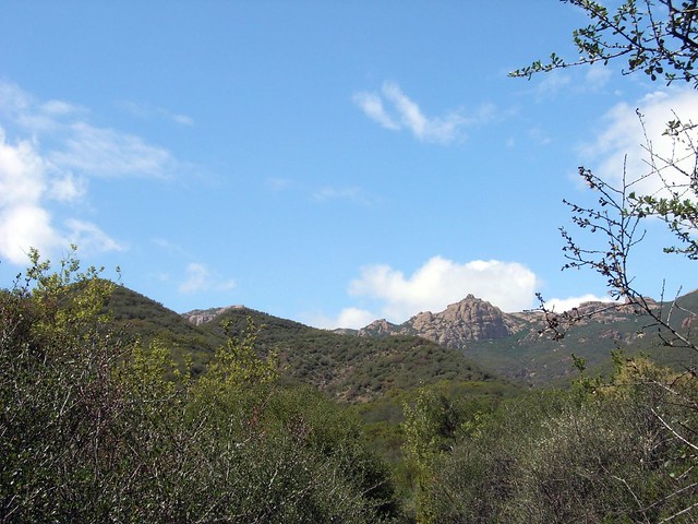
The drive up the coast to the Santa Monica Mountains is one of my favorites. The skies were clear, the surf in the Pacific was choppy, and a steady breeze filled the air with that great salt scent. When I got to the Circle X Ranch, I couldn’t resist grabbing a shot of Exchange and Sandstone Peaks with the ranch’s flagpole:

If you are interested, the ranger / info station at the Circle X Ranch offers some occasional interesting ranger-led programs. They’re happy to answer any questions you might have about the area … and they have a water fountain and flush toilet if you need it.
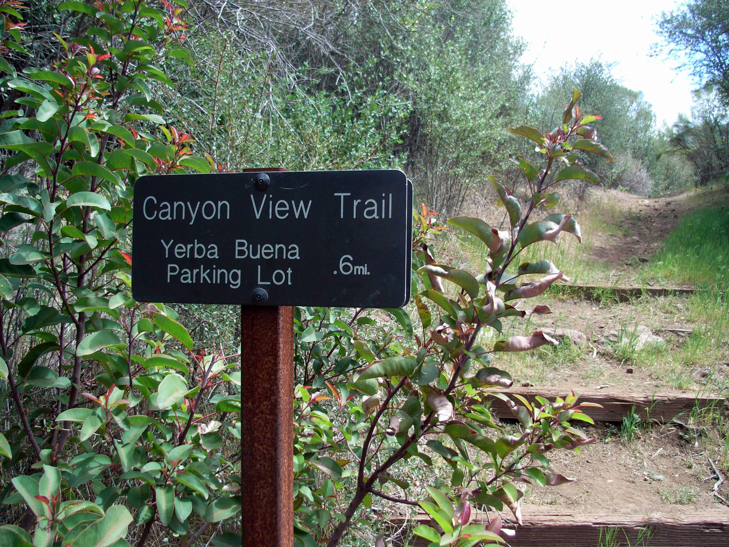
There are a few ways to reach the Grotto – you can also hike in from two different trailheads for the Canyon View Trail further east along Yerba Buena Road. For this trip, start at the Circle X Ranch parking area and begin your hike
From the parking lot on Yerba Buena Road, I could see clear down to the narrowing canyon walls of my destination. Unlike many hikes in the Santa Monicas or San Gabriels, the Grotto Trail starts up high and ends down low. So while it will be easy going in, just remember that it’s all uphill on the way out.
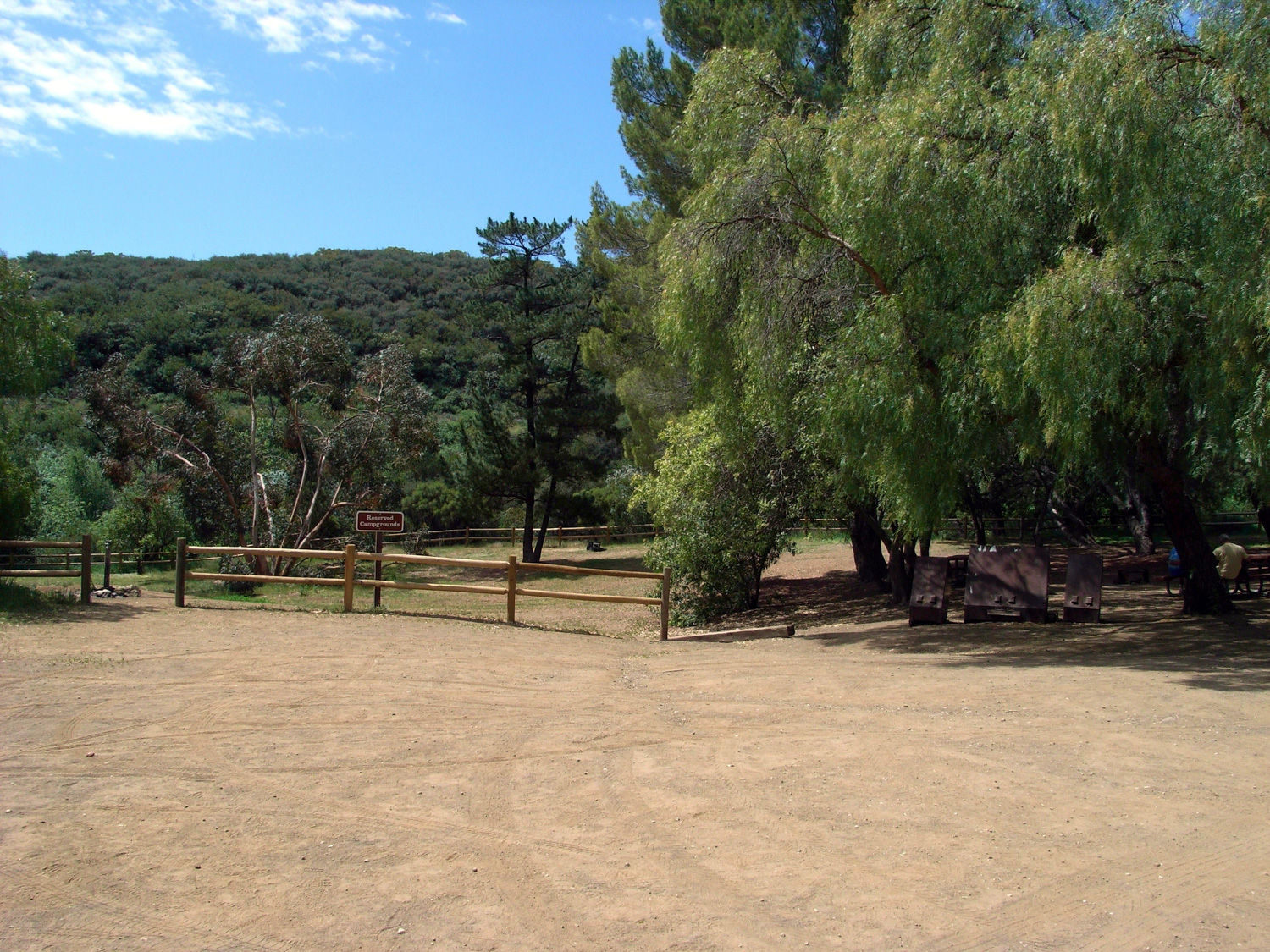
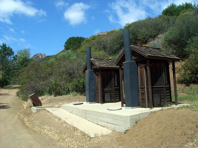
The Circle X Ranch used to be a Boy Scout Camp, and still sees a lot of action from the pint-sized outdoorsmen. Early on in the trail, I passed a reservation-only Group Campground, notable both for its close proximity to the main road and for having two of the nicest-looking outhouses I’ve seen at any park so far.

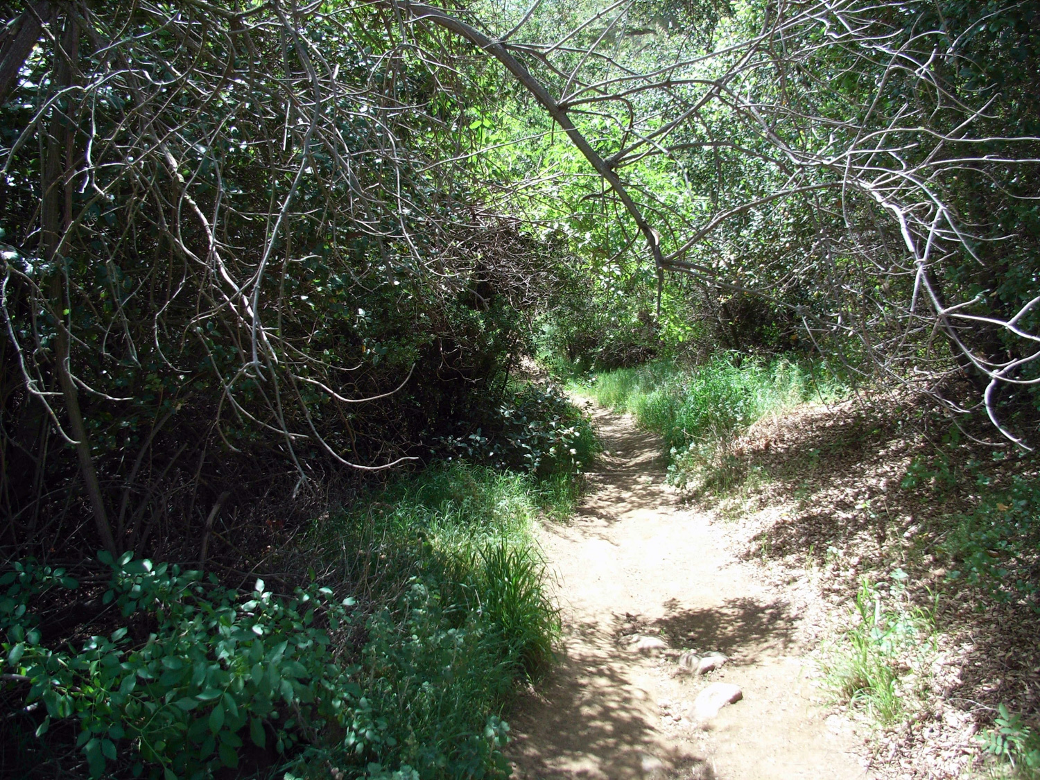
Shortly after the group camp (at about the 0.1 mile mark) you’re finally off the dirt roads and onto the actual Grotto Trail – a very well-maintained footpath that starts off through some low brush and chaparral. There’s a bit of shade but the sun breaks through most of the cover.
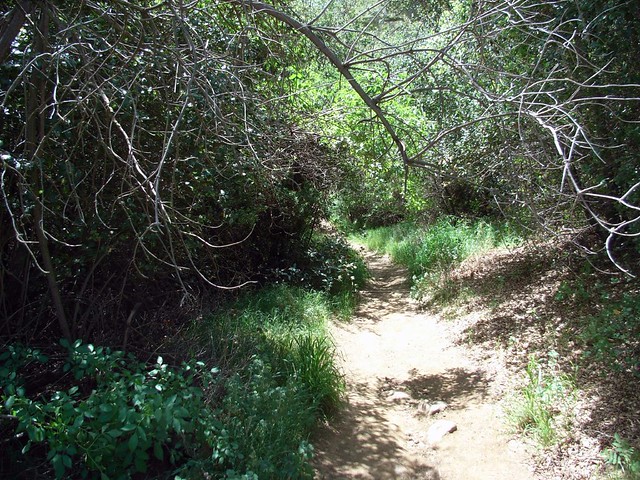
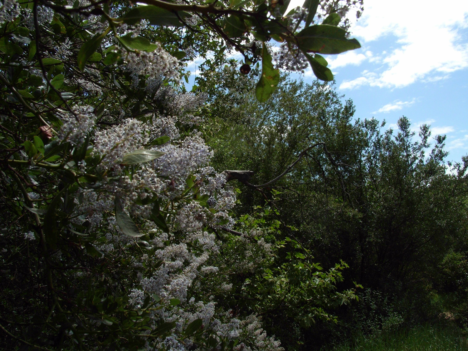
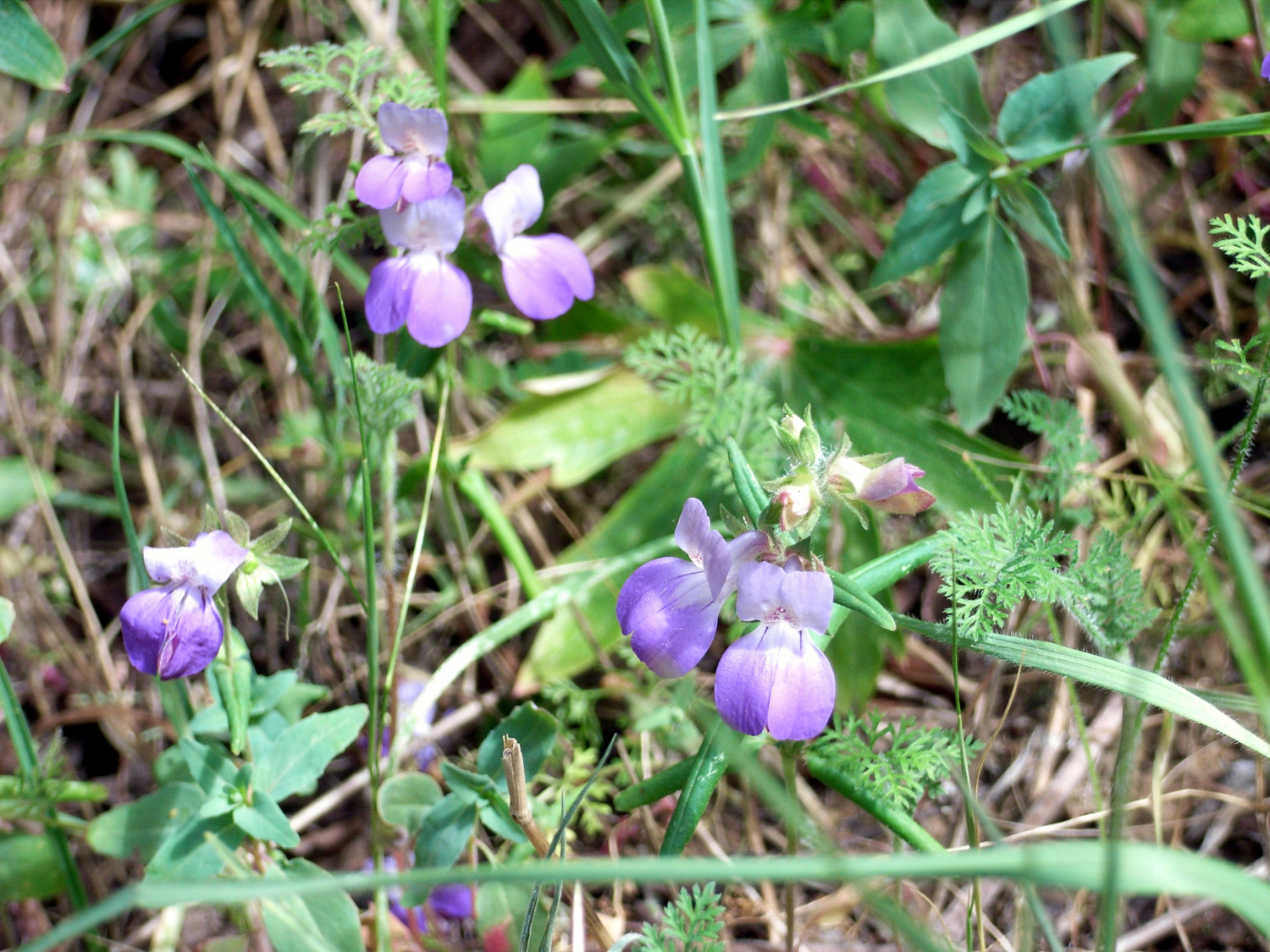
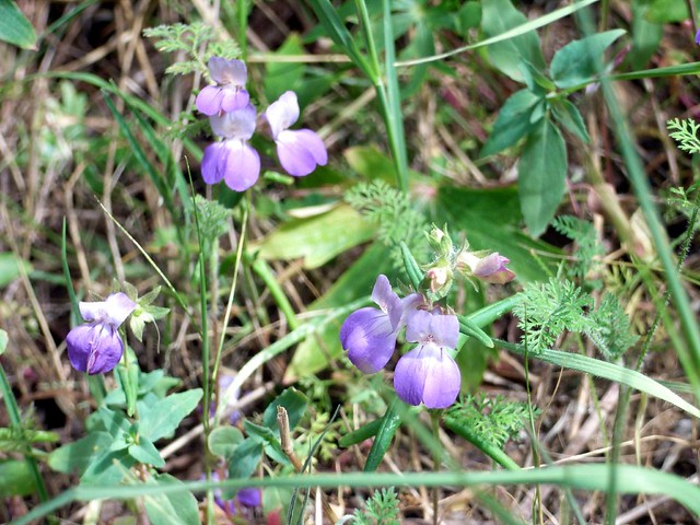
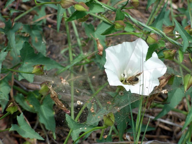
Spring was starting to strike the trail, and the canyon was full of beautiful green grasses and all kinds of things in bloom. If you can ever catch this part of the Santa Monica Mountains just after it rains, not only will you likely see a great collection of flowers, but you’ll also get the full range of chaparral scents. Something about a fresh rain really gets that sage scent into the air. For me, I was happy with just the scenery.

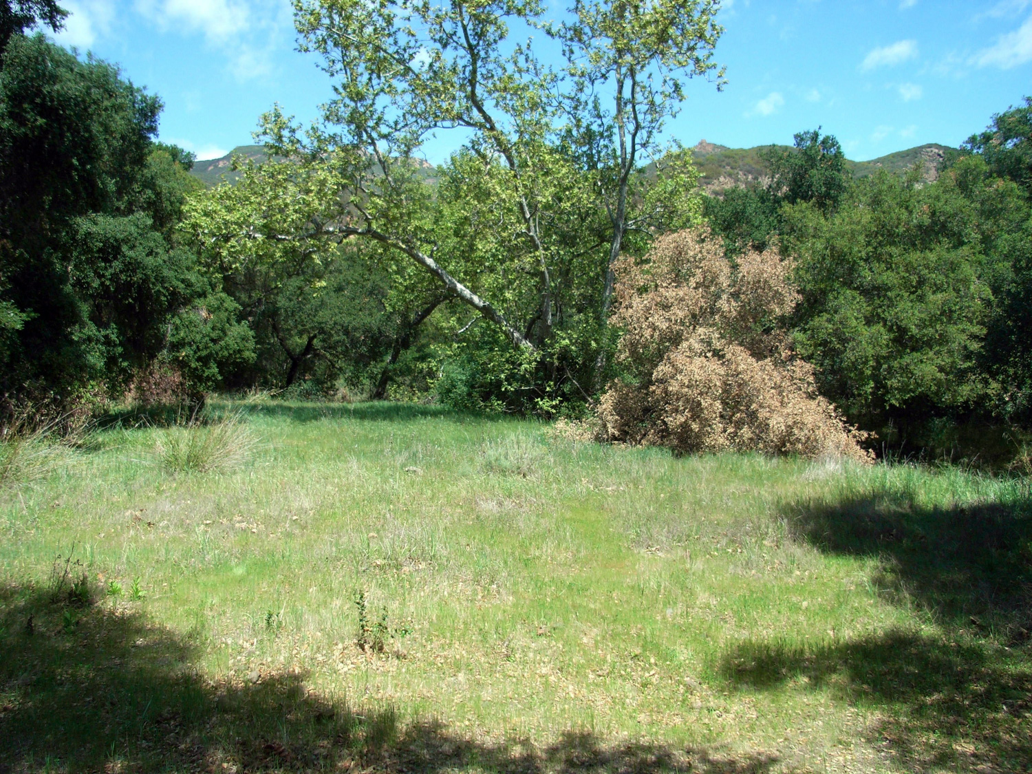
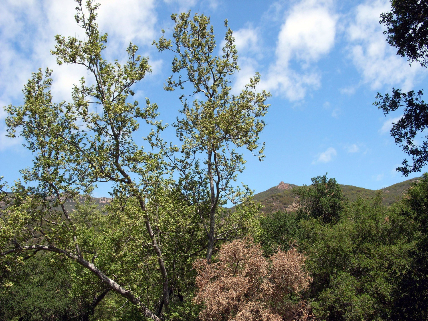
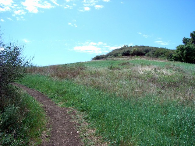
After a few minutes of painless descent through the brush, the trail meets up with the (often dry) West Fork of the Arroyo Sequit and at 0.5 miles you’ll hop across it at a junction with the Canyon View Trail near a hillside meadow of the Classic California variety. There are few things as peaceful as watching a grassy meadow swaying in the breeze, then looking up to see coastal mountains and the choppy ocean …
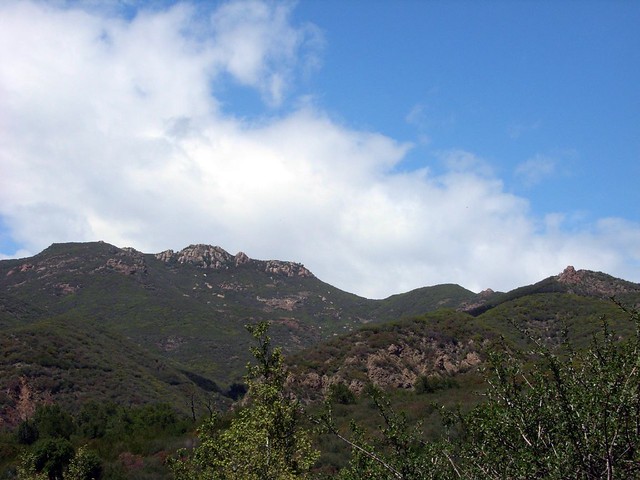
… but for me, turning around and looking back at the Circle X Ranch, surrounded by Boney Mountain and Sandstone Peak, was pretty close. I do love that mountain.

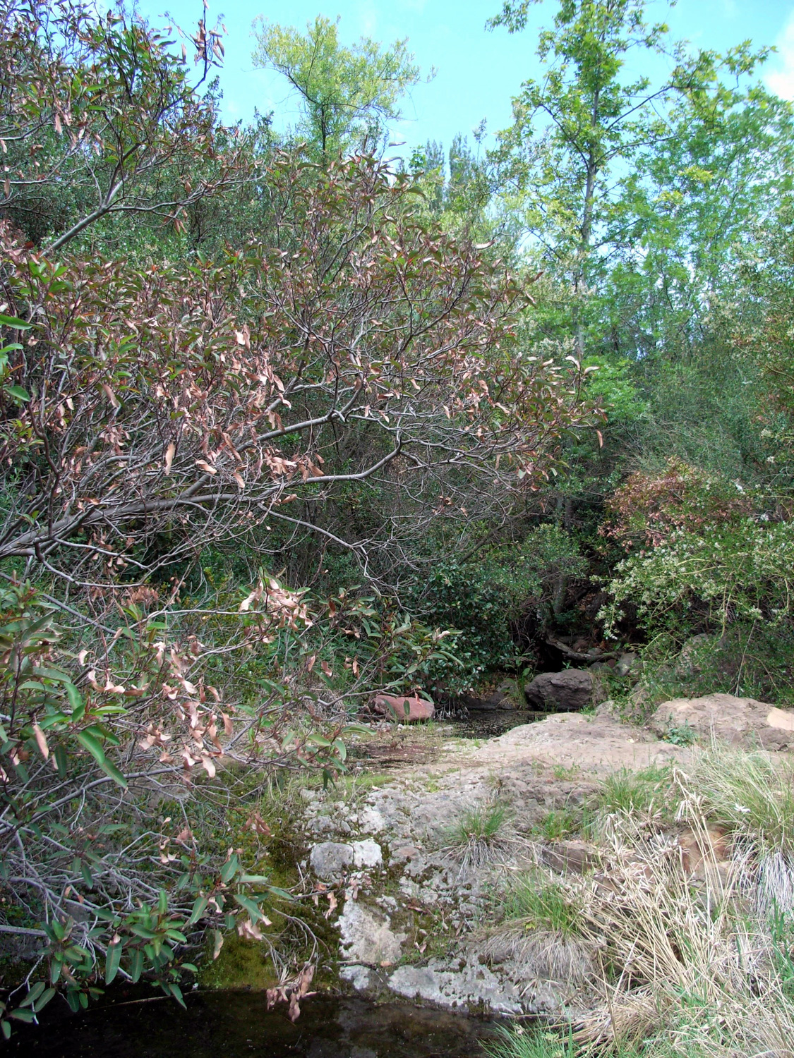
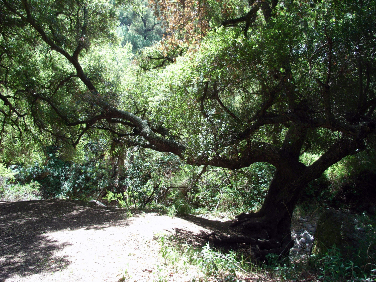
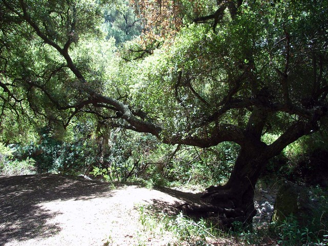
Passing only a single couple on the way down, I made my way through a few more small meadows and dry creek beds to Happy Hollow at 1.28 miles, a small stream side clearing completely covered by old, twisted canyon oaks. These are the kind of trees that have seen a few things in their day. If you brought dogs with you (dogs are allowed on-leash on the trails here), you can’t take them past this point on the trail.
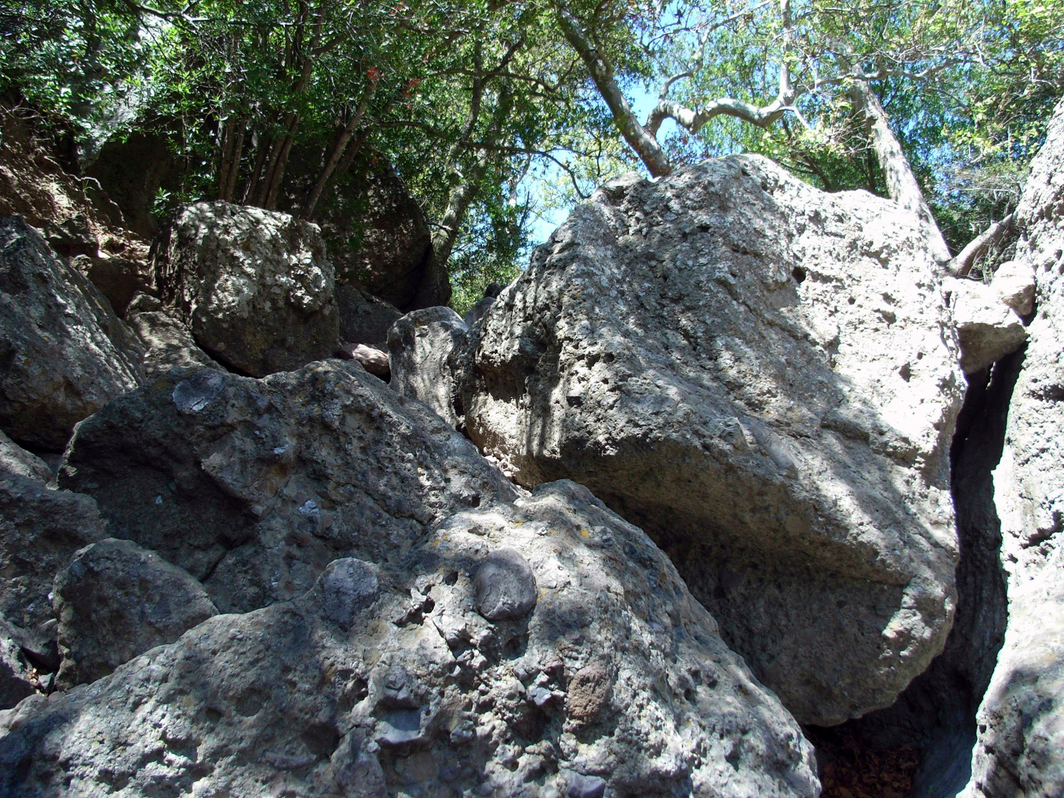
Just past the hollow, the established trail gives way to a rough use trail in a stream bed filled with jagged boulders, which grow larger and more angled as you hop across them. It’s still very much Beginners’ Territory, though. I mean, if Boy Scouts can scramble their way over this stuff, you probably can, too.
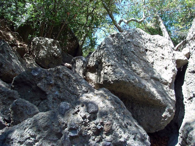
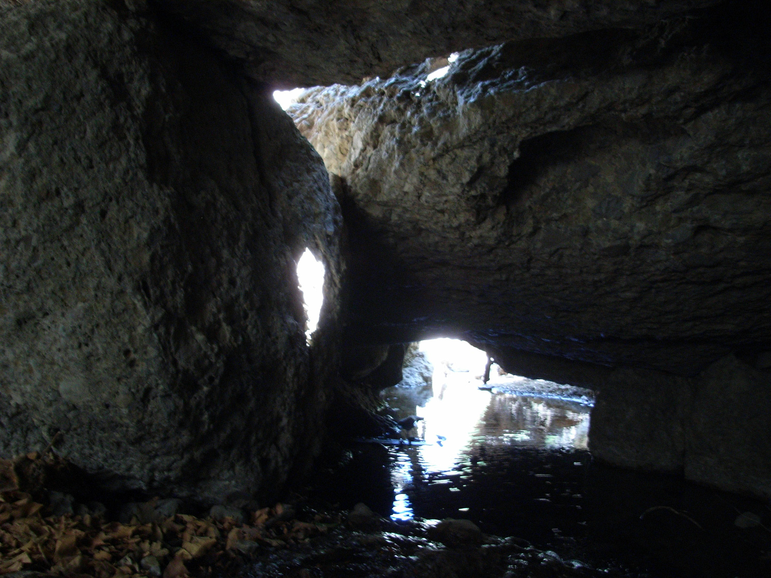
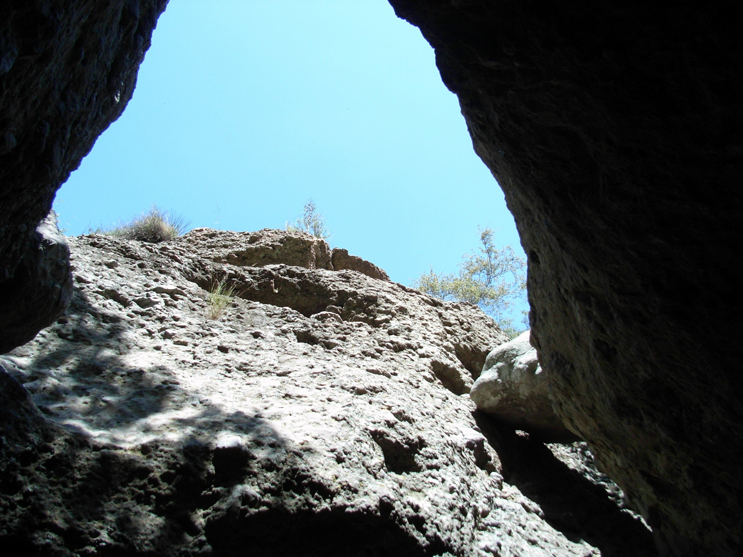
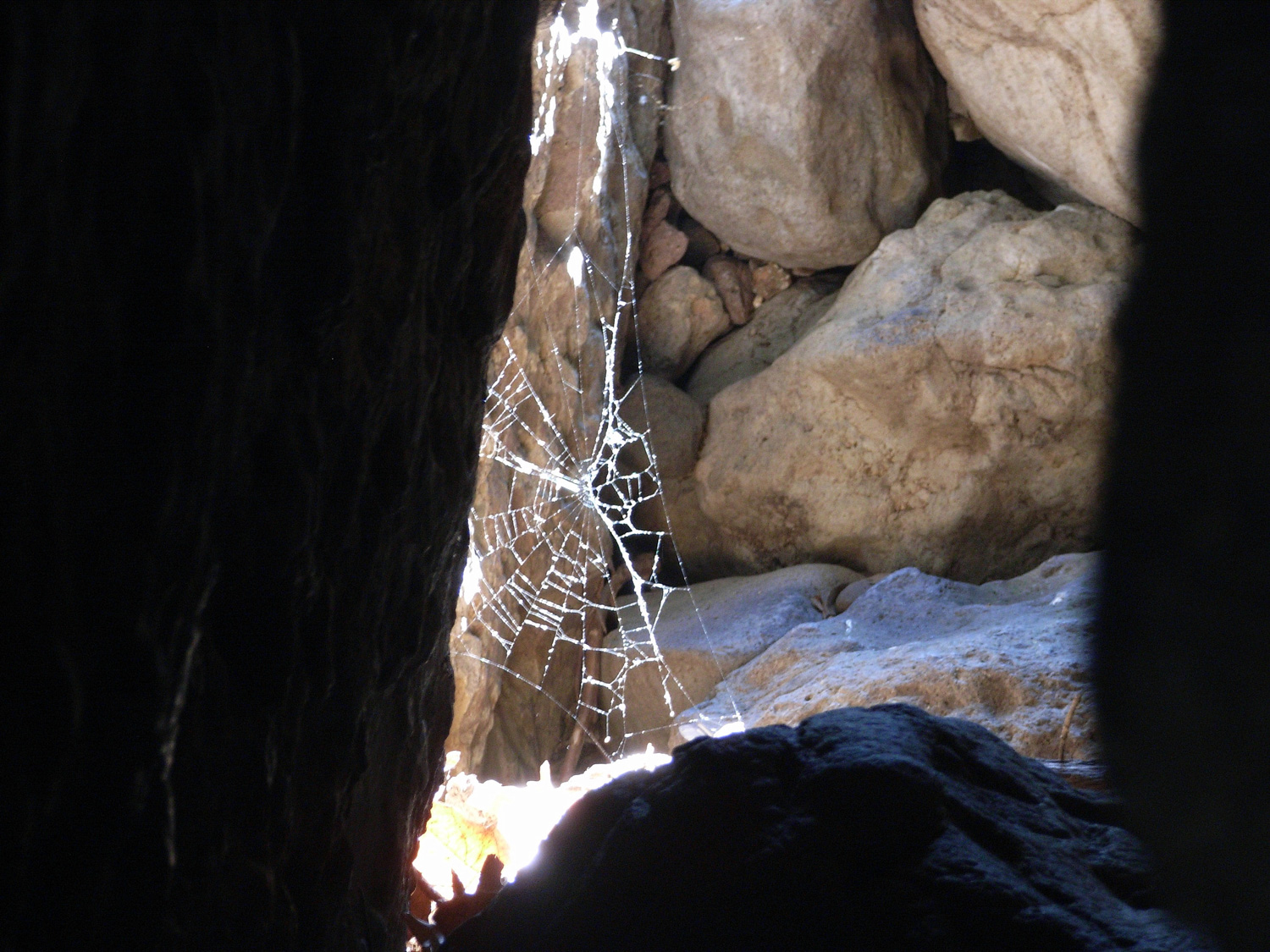
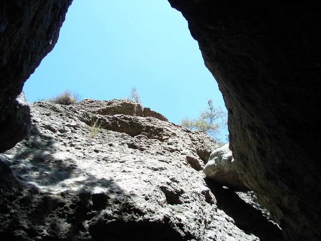
The actual Grotto itself is just past Happy Hollow at 1.4 miles. Look for a large flat rock in the middle of this formation, just before a short cliff drop-off. There are plenty of cracks and corners to climb around, and if you can get beneath the main slab, you’ll get yourself into a beautiful little cave, with a small waterfall and pool. I apologize for the bad focus on these pics … just assume that everything is a bit sharper than it looks here.
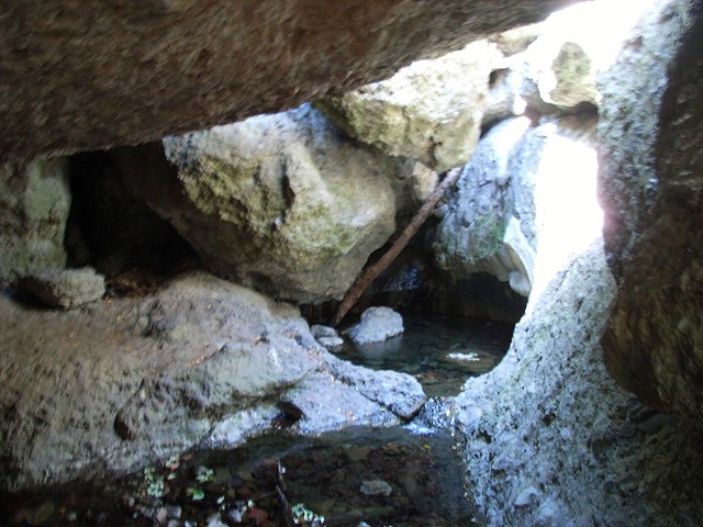
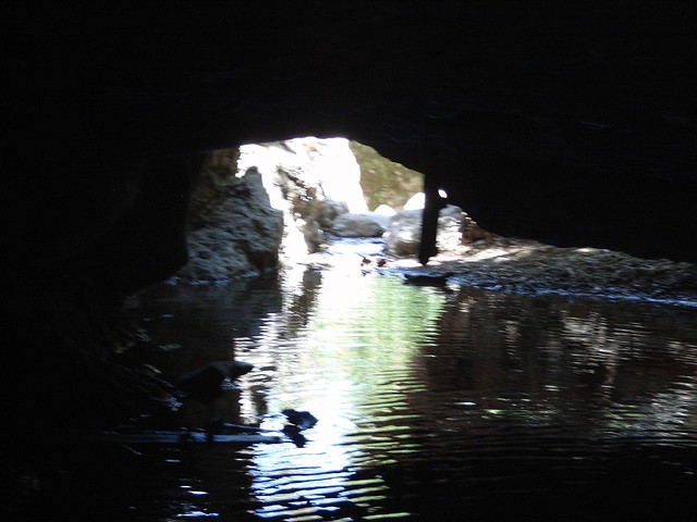
There are also plenty of little skylights, so the cave itself isn’t that dark.

Enjoy the strange formations at the Grotto as long as you’d like – or you can continue down a thin pathway on the westernmost canyon wall to further explore the canyon past the rock formations. This path looks steep from the top of the rocks, but once you get onto it you’ll see it’s not that bad at all.
Past the bottom of the Grotto, the rocks get a bit less interesting, but they do go on for quite a while. From there on out, it’s basically a stream bed stuffed chock full of boulders that you can explore to your heart’s content. This track stops around the 1.5 mile mark, but it is possible to keep going down the Arroyo – just know that it’s completely unmaintained and further exploration is done entirely at your own risk.
When you’re done, remember that the trip back to the trailhead is entirely uphill … although it will be tough, you will have some excellent views to keep you going!
Tags: circle x ranch, Hiking, Los Angeles, Santa Monica, Santa Monica Mountains, the grotto, Trail Write-Ups