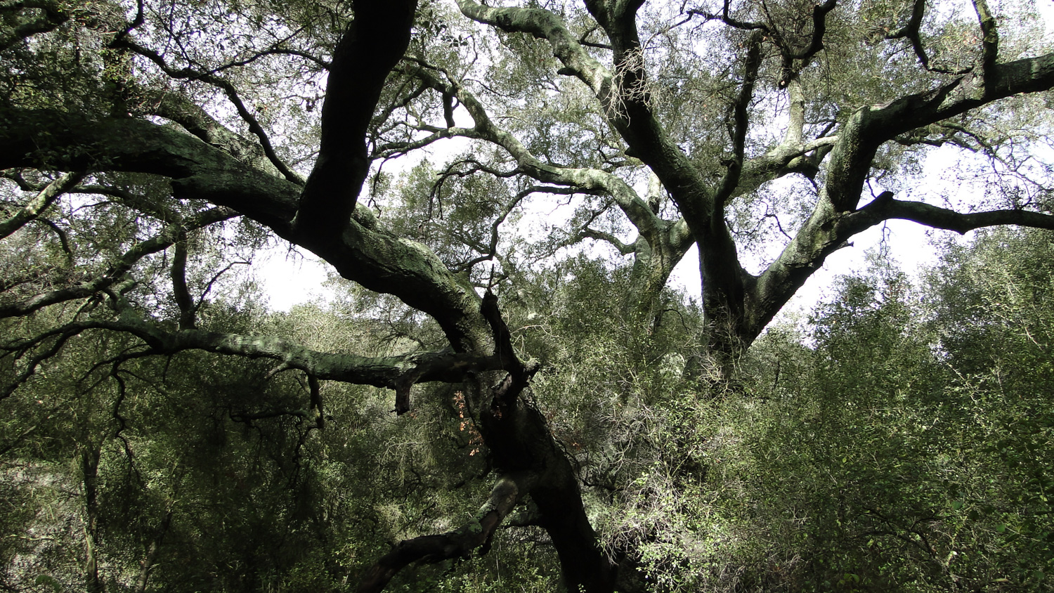
Escondido’s Daley Ranch packs a lot of natural beauty into its sprawling 3,200 acres. This city park features a number of moderate loops and out-and-back routes visiting a garden of granitic boulders, a series of old stock ponds left over from the days in which the property was both a cattle ranch and dairy farm, a trip up to Stanley Peak, and a loop featuring a number of beautiful specimens of Engelmann Oak.
This loop visits the Engelmann Oak Loop, and given the scenic values from the great views and the extensive woodlands, we feel that this is the finest section of the park as well as one of the best inland hikes in the county. The focal point for the route is a park-like woodland of rare Engelmann oaks, although the route also passes through one mile of some of the most beautiful oak woodland in the county on the beautifully secluded Bobcat Trail. Additionally, the loop is located in the more remote northern corner of Daley Ranch, which means that this route is often less crowded than the heavily trafficked La Honda trailhead on the south end.
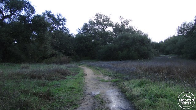
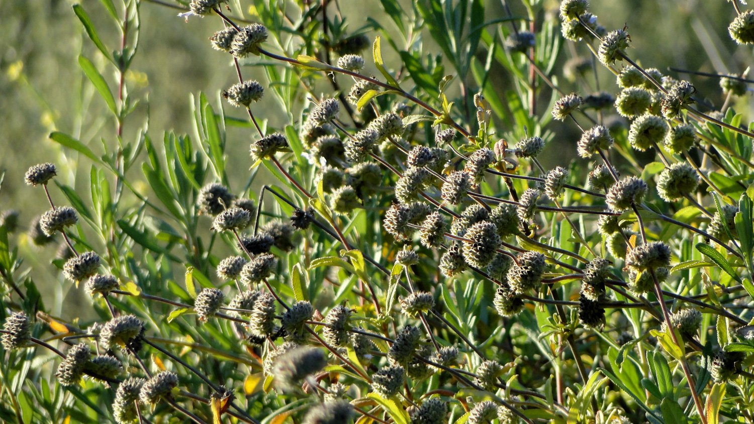
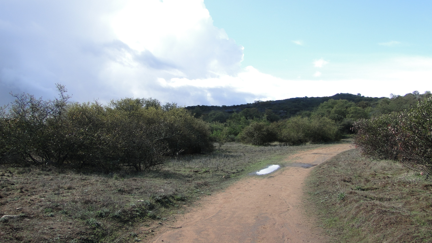
Starting from the staging area, follow the wide, disused fire road southeast around a dry creek bed and through a meadow studded with thickets of California buckwheat. The trail drops down into a sometimes dry creekbed before climbing back out to reach a junction with a branch of the Engelmann Oak Loop at .7 mile. Pass this junction and continue southeast for an undulating .4 mile that passes through a lush gallery forest of coast live oaks and Engelmann oaks. At 1.1 miles, you’ll pass the junction for the Bobcat Trail on your left. Mark this junction, but don’t take it yet – this will be your return route.
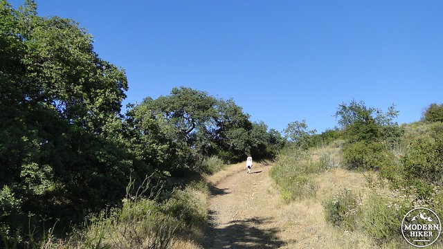
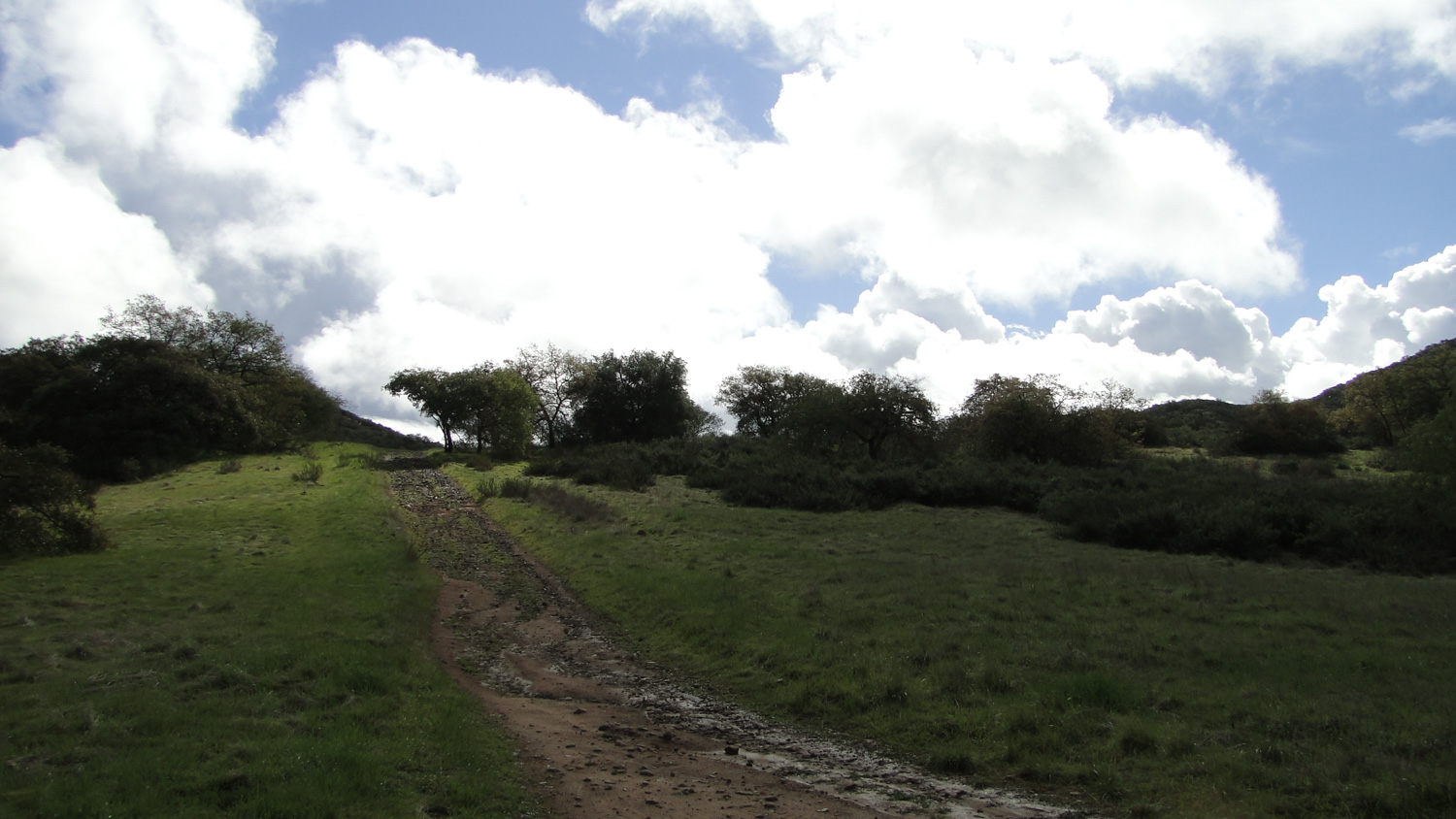
After passing the Bobcat Trail, the trail begins its primary climb up a steep and rocky section of Cougar Ridge Fire Road. You’ll gain several hundred feet in about .4 mile before reaching another junction with the Engelmann Oak loop at 1.5 miles. Once you reach this junction, be sure to turn back to enjoy the views over Escondido that you might have ignored while putting all of your effort and focus into the climb.
Once at the Engelmann Oak Loop junction, turn left to follow the Engelmann Oak Loop northeast through a beautiful spread of oak woodland. Just past the junction, look for an old cattle pond on the right. The pond has been bone dry for the last three years (from March of 2015) owing to California’s historic drought. In wet years, the pond fills with sparkling water and is a great spot for picnics. Pass the Burnt Mountain Trail at 1.9 miles, which shortcuts a scenic portion of the Engelmann Oak Loop. At 2 miles, you will reach a junction with the Hidden Spring Trail on your left; bypass this, as it will drop precipitously into Jack Creek Valley below.
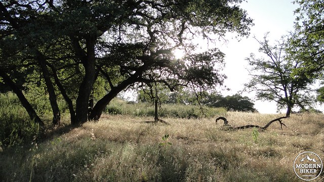
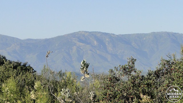
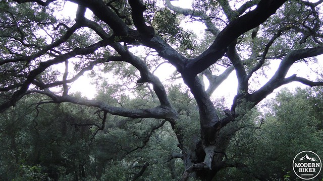
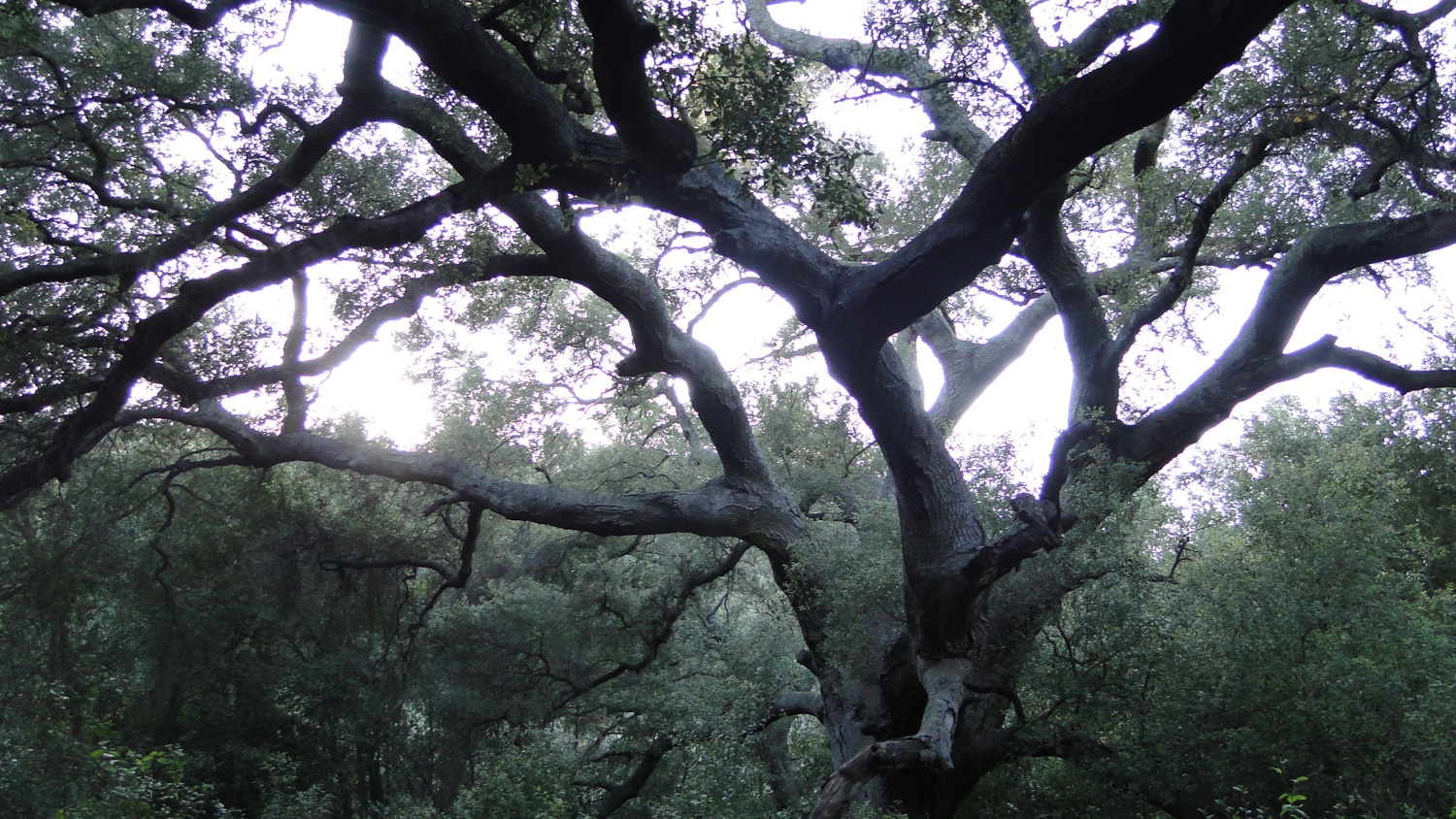
The trail bends to the left to head north and then northwest through a somewhat drier habitat dominated by chaparral and aromatic yerba santa. The dark ridge of the Palomar Mountains rise above Valley Center to the northeast. At 2.6 miles, the trail will pass the other end of the Burnt Mountain Trail before commencing a gentle descent into a beautiful grove of Engelmann Oaks. This is the main highlight of this route. The branches of these trees weep gracefully over lush carpets of grass that invite picnicking or leaning up against the trunk of the tree with a good book. The Engelmann oak is a relatively rare tree, as much of its habitat has been lost to suburban development. This section of trail is one of the better preserved Engelmann habitats along with the more expansive groves at the Santa Rosa Plateau.
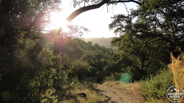
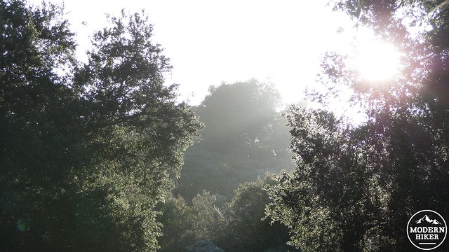
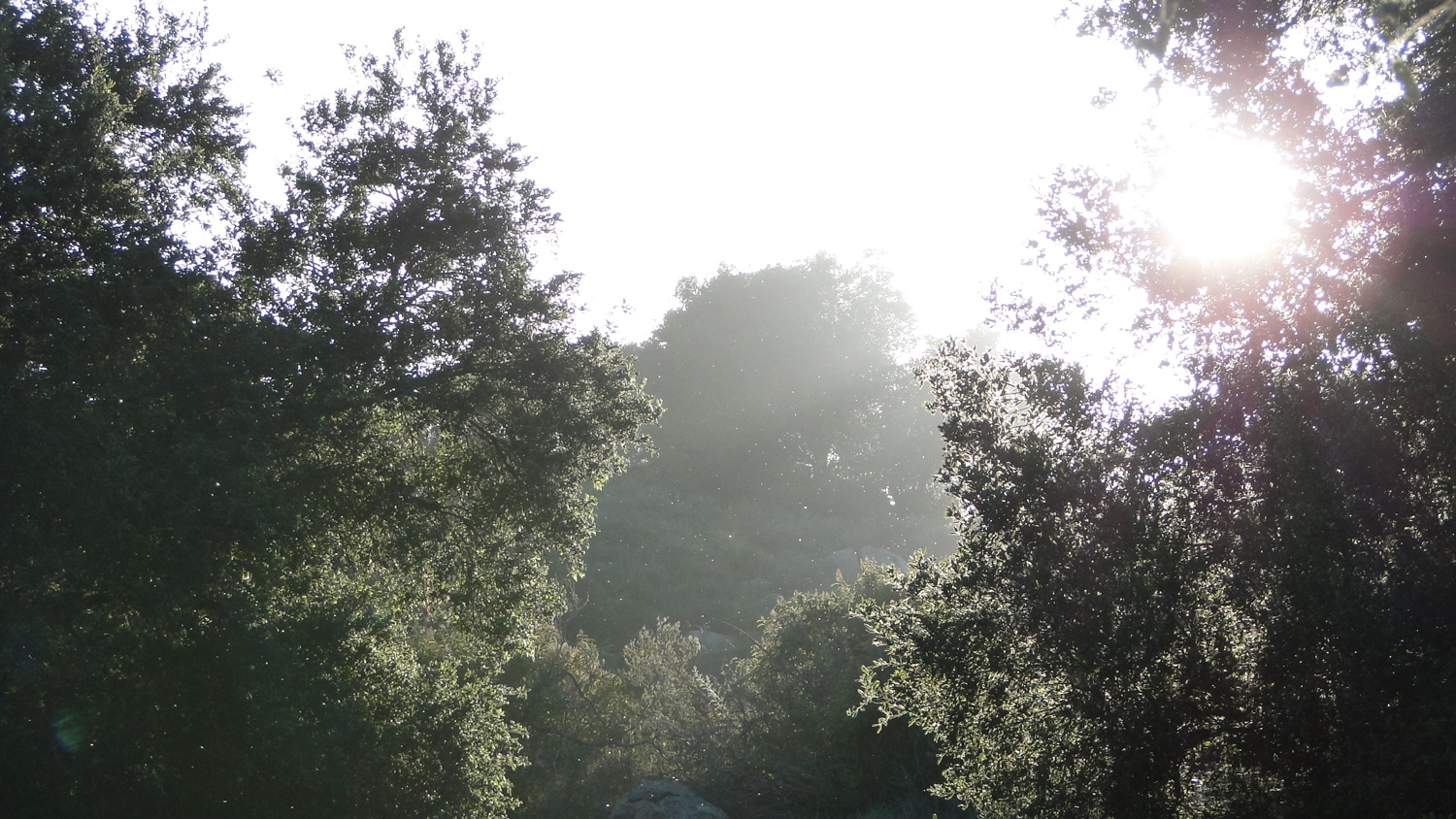
After passing through the oak grove, you will reach a junction with the Bobcat Trail at 3.1 miles. At this junction, you’ll reach a bench where an unofficial path leads north to the edge of a low rise. If you walk about 30-40 yards along this path, you’ll come to a spot with great views north that reach all the way to Mt. Baldy on clear days. After returning back to the bench, head south on the Bobcat Trail as it plunges into a lush gallery forest of live oaks along a seasonal stream. All evidence of the sprawling communities surrounding the park disappears from view as you pass through cool shade and a symphony of bird song and wind rustle the leaves of the trees.
The Bobcat Trail returns to the junction with Cougar Ridge Fire Road at 4 miles. At this point, you will turn right to retrace your way back to the trailhead, thus completing the lollipop loop.
Tags: Bobcat Trail, Daley Ranch, Engelmann Oak, Engelmann Oak Loop, Escondido, Hidden Meadows


