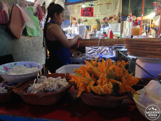
There aren’t too many places where you can find a trail that will kick your butt with elevation gain, bring you to the ruins of a 500-year-old religious complex, and drop you off right next to a market filled with unbelievably delicious, cheap, hand-made food but the village of Tepoztlán in the state of Morelos is such a place. Easily reachable by car, bus, or taxi, the sleepy village is popular with Mexican tourists and can get packed on the weekends – especially in peak season.
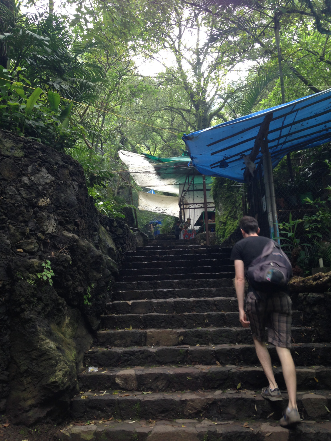
The trail starts at the end of Del Tepozteco, about five blocks north of the market. Walk up the cobblestone street until it ends at a fork, and follow the signs and stay right to continue toward the trail. Like many National Parks in other parts of the world, the entrance to this one is lined with merchants and food vendors. On the weekends, expect this area to be crowded – but when we hiked in the late morning most of the stalls were closed or still opening.
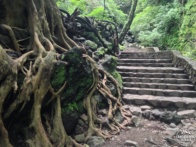
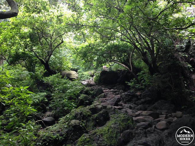
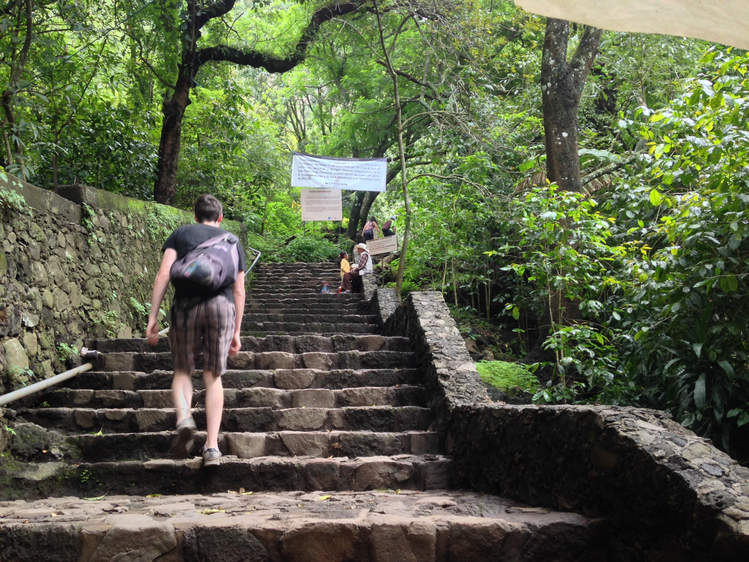
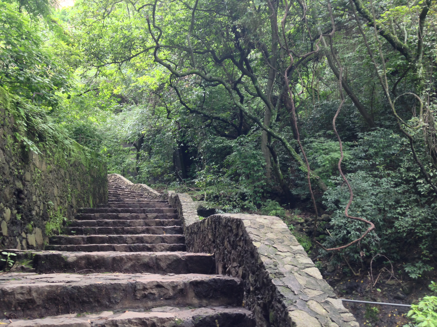
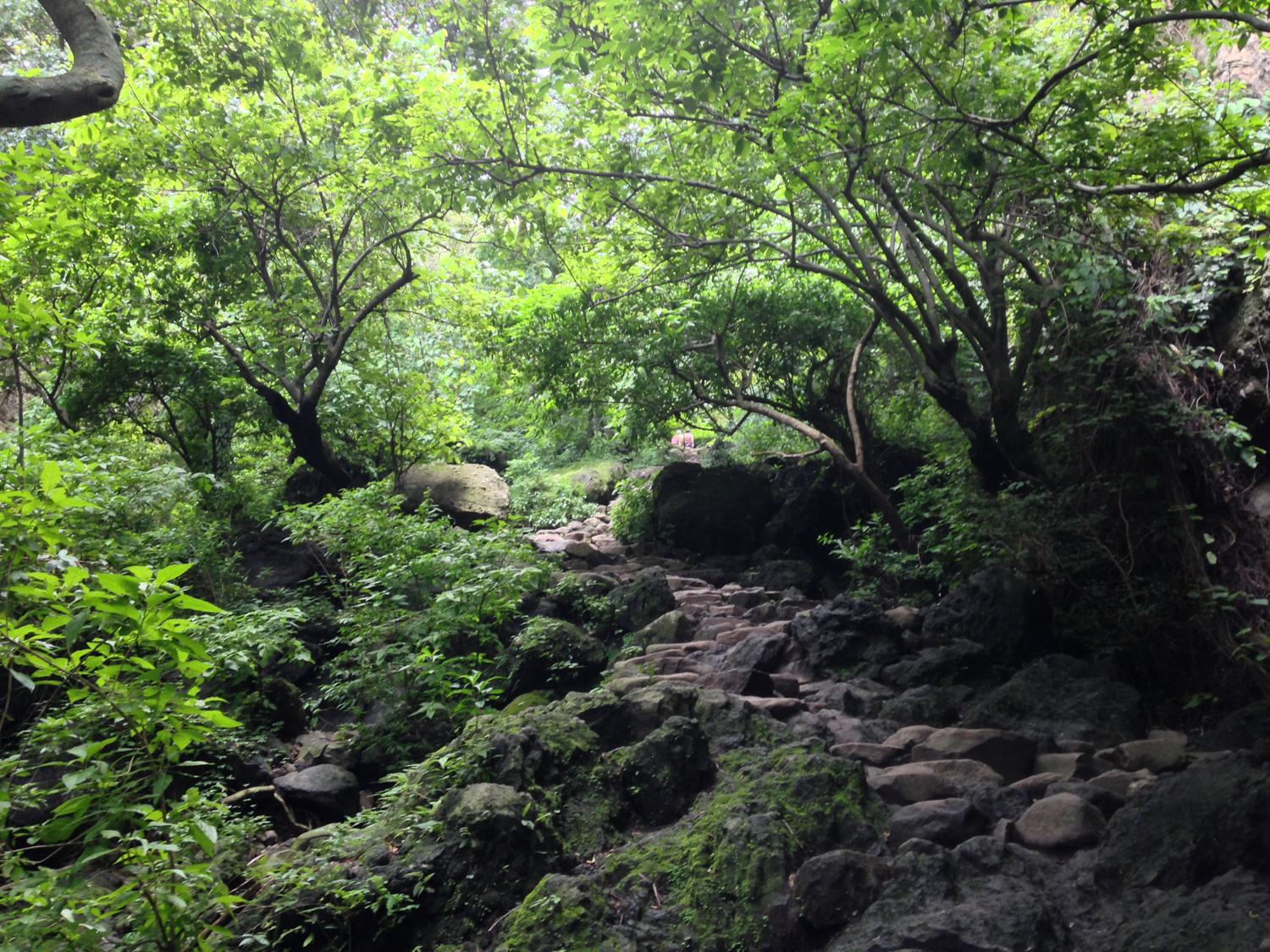
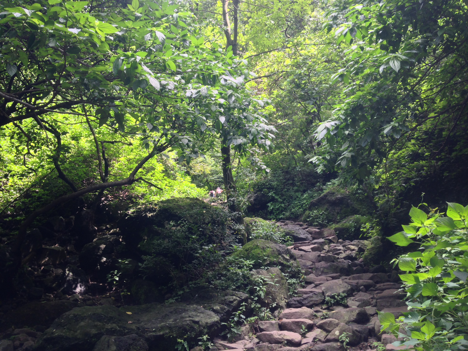
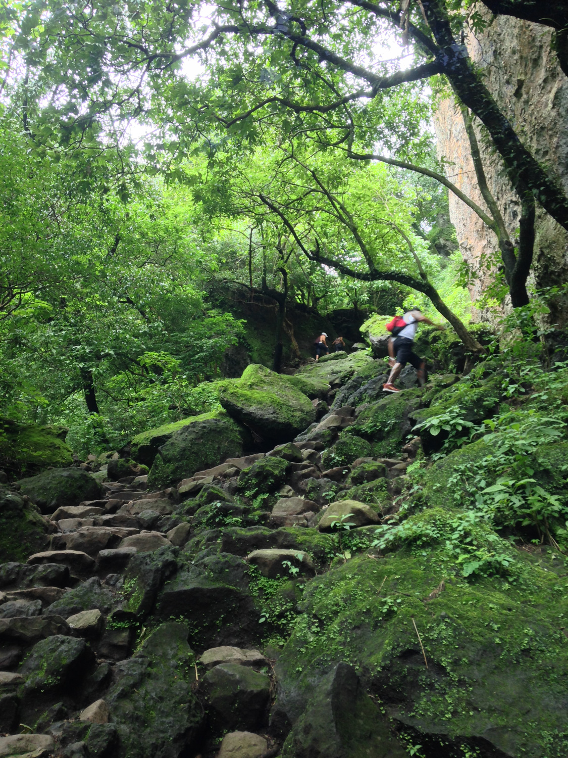
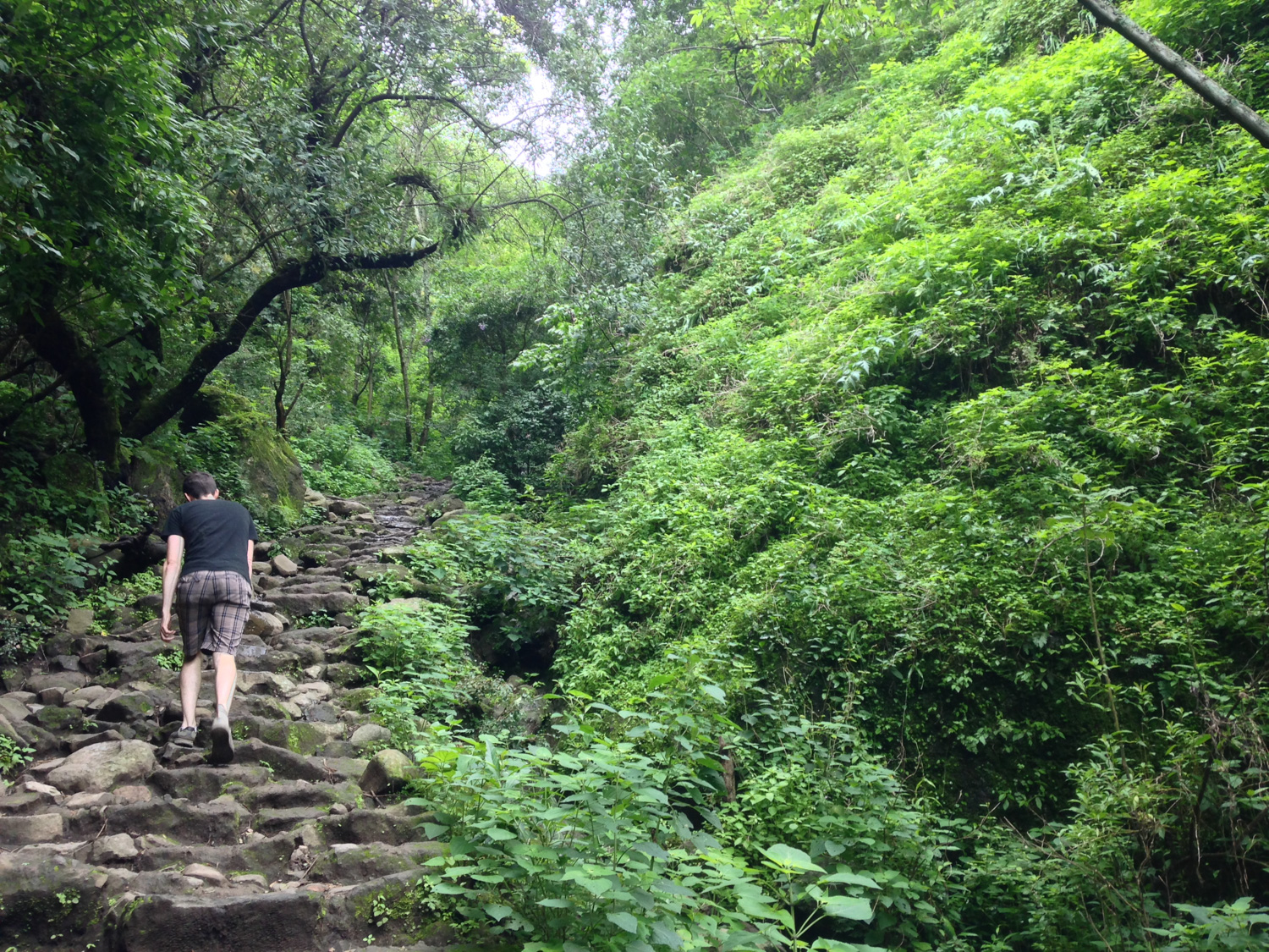
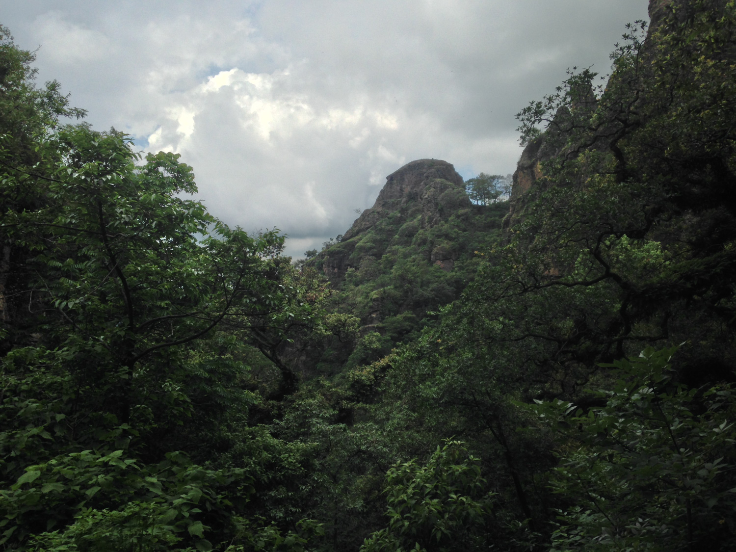
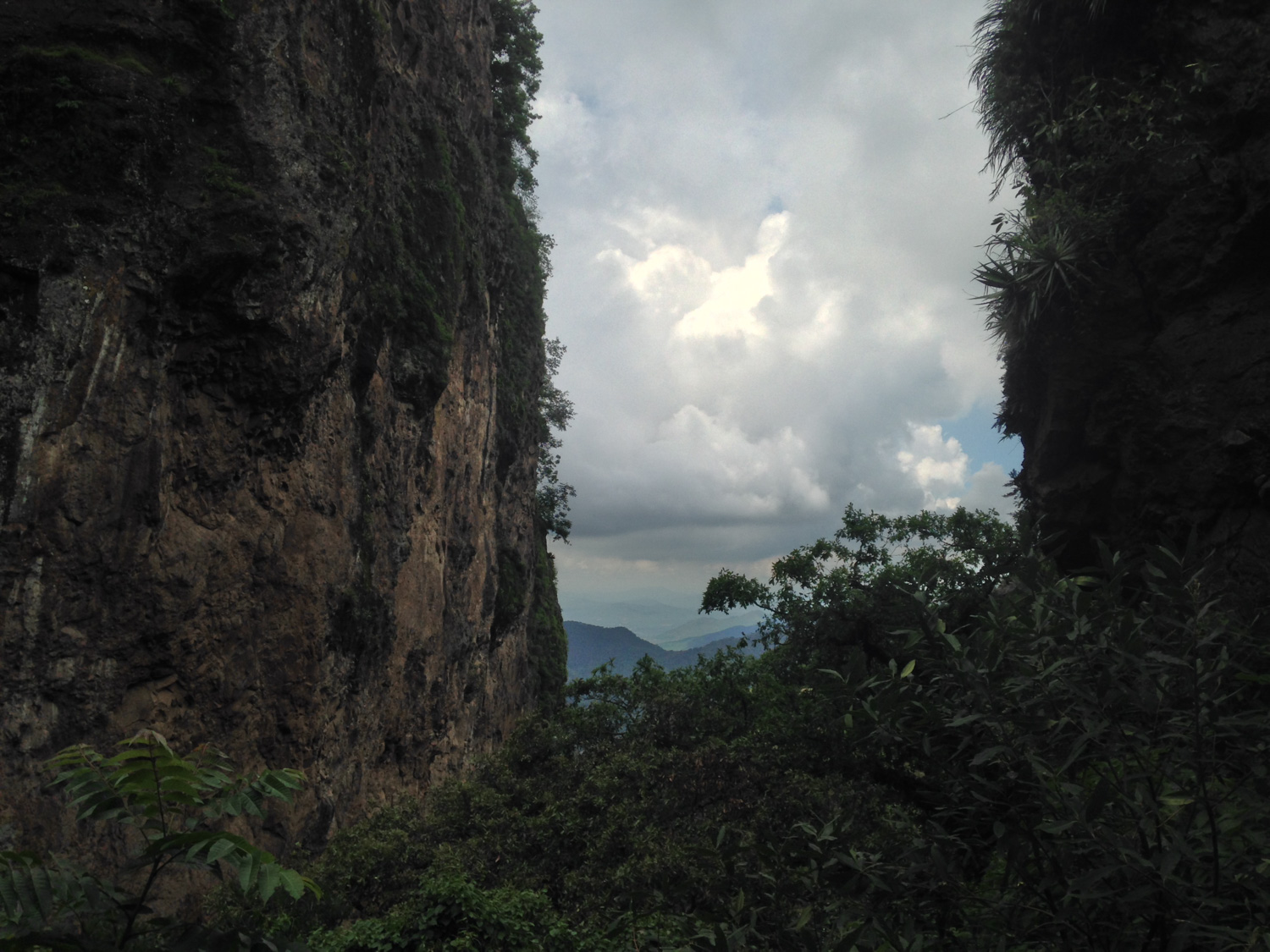
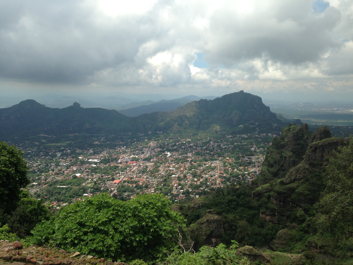
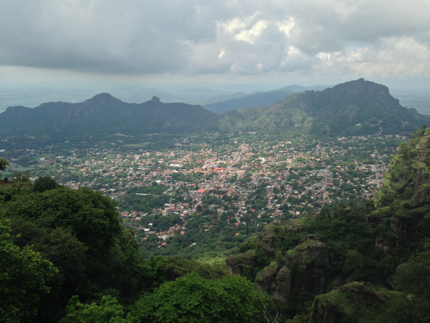
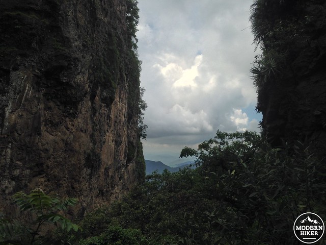
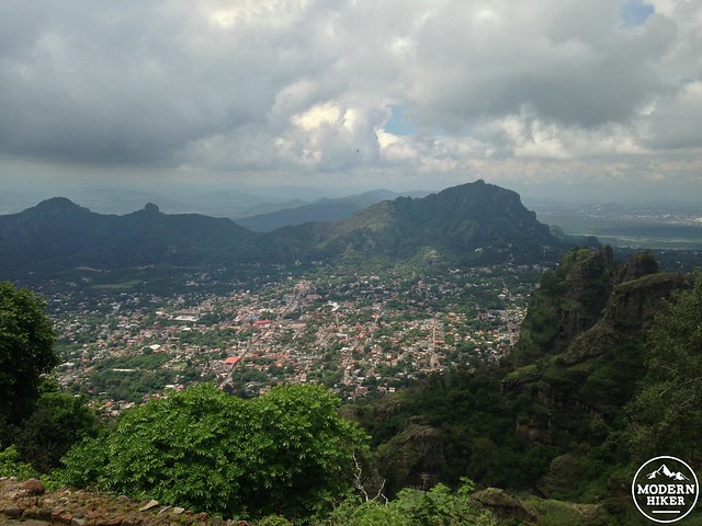
At about the half-mile mark, the trail squeezes its way through a boulder and into a small canyon on the mountain’s side. From here, you’ll be able to get a quick peek at some of the distant mountains – as well as the nearby super-dense foliage.

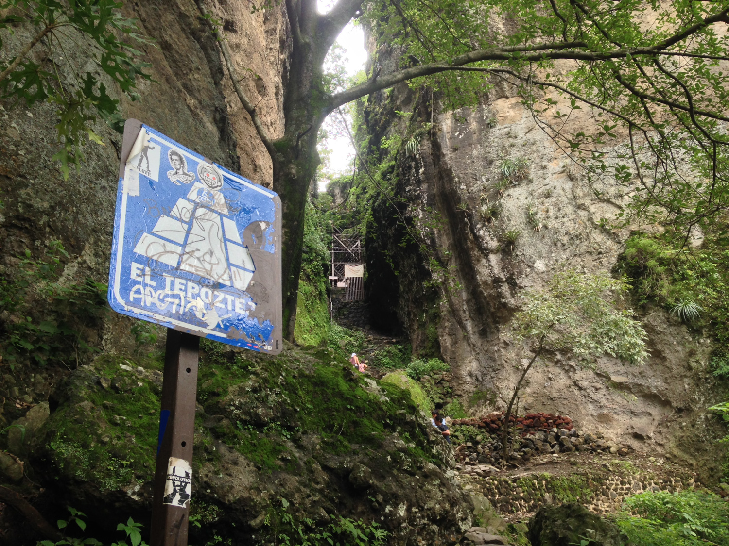
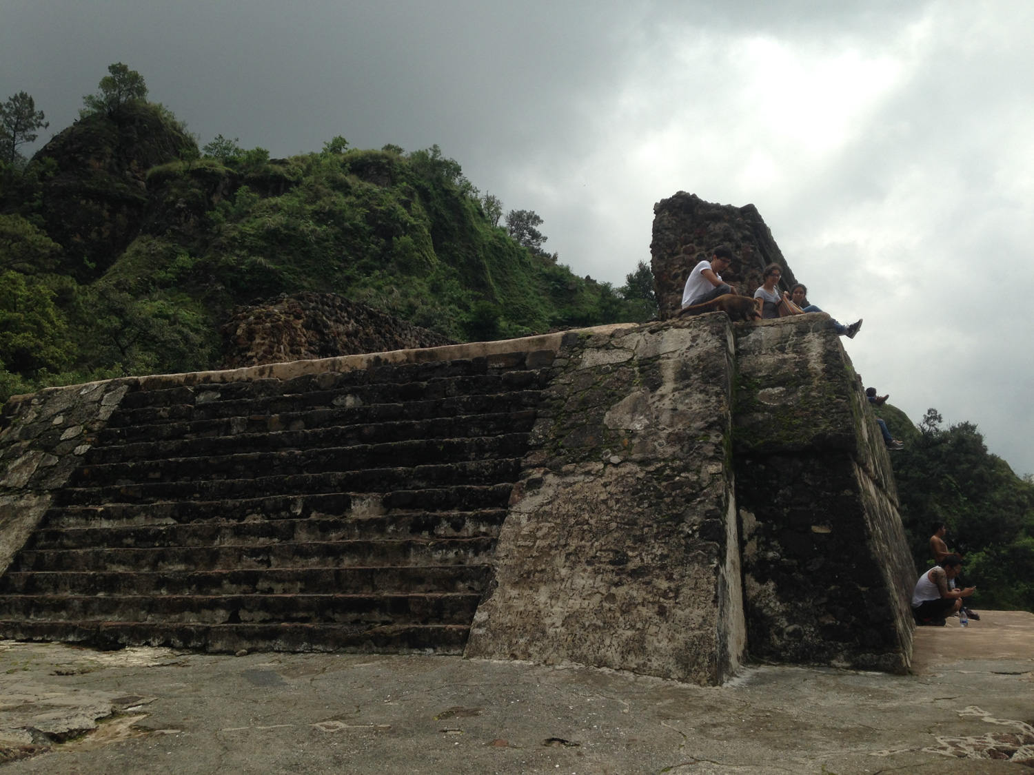
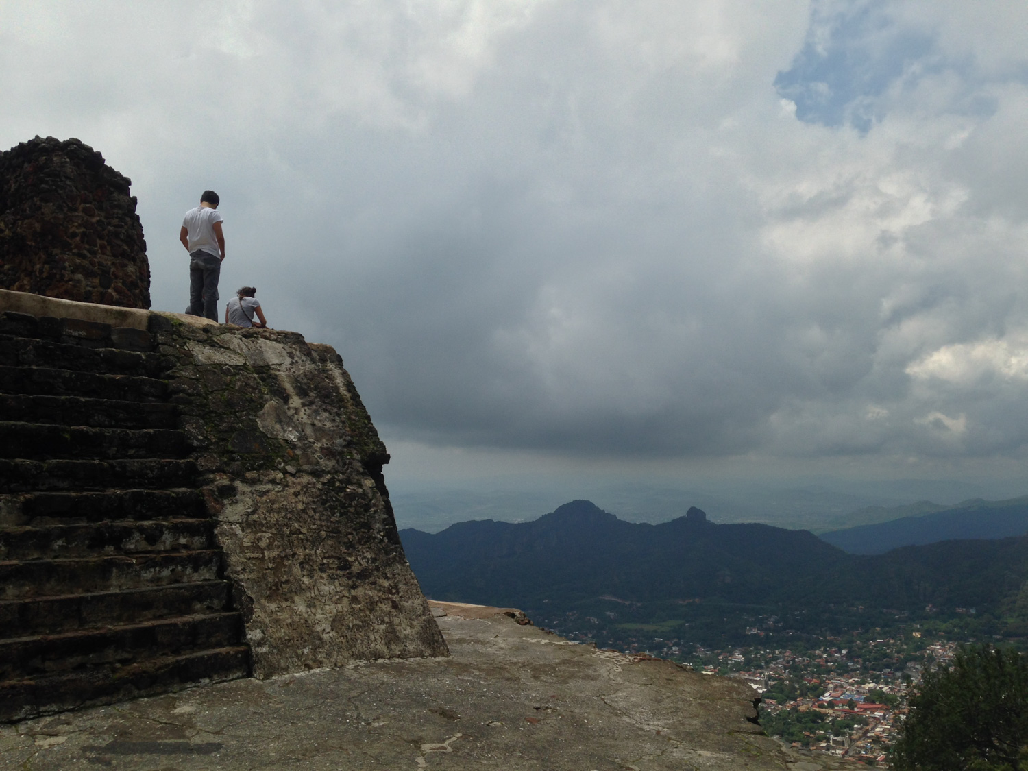
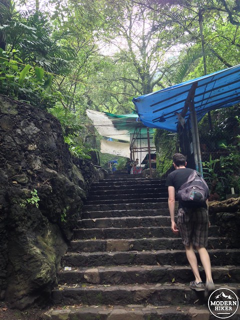
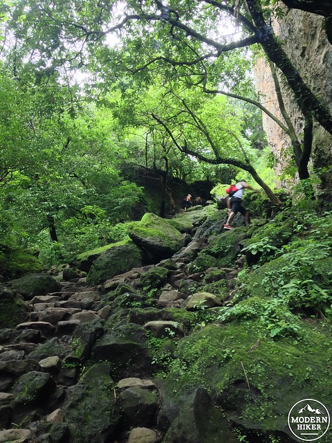
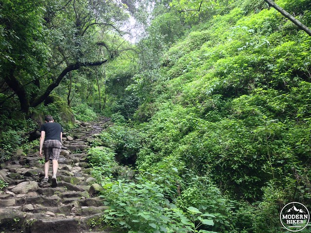
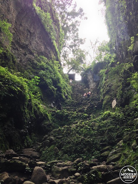
Because the canyon is so narrow, there are separate staircases for ascending and descending – but you should still take this route slowly and carefully, especially if the stairs are wet. Once you’ve topped the metal platform, there is still a series of steep and narrow switchbacks before you’re done with the climb – but you’re almost there!
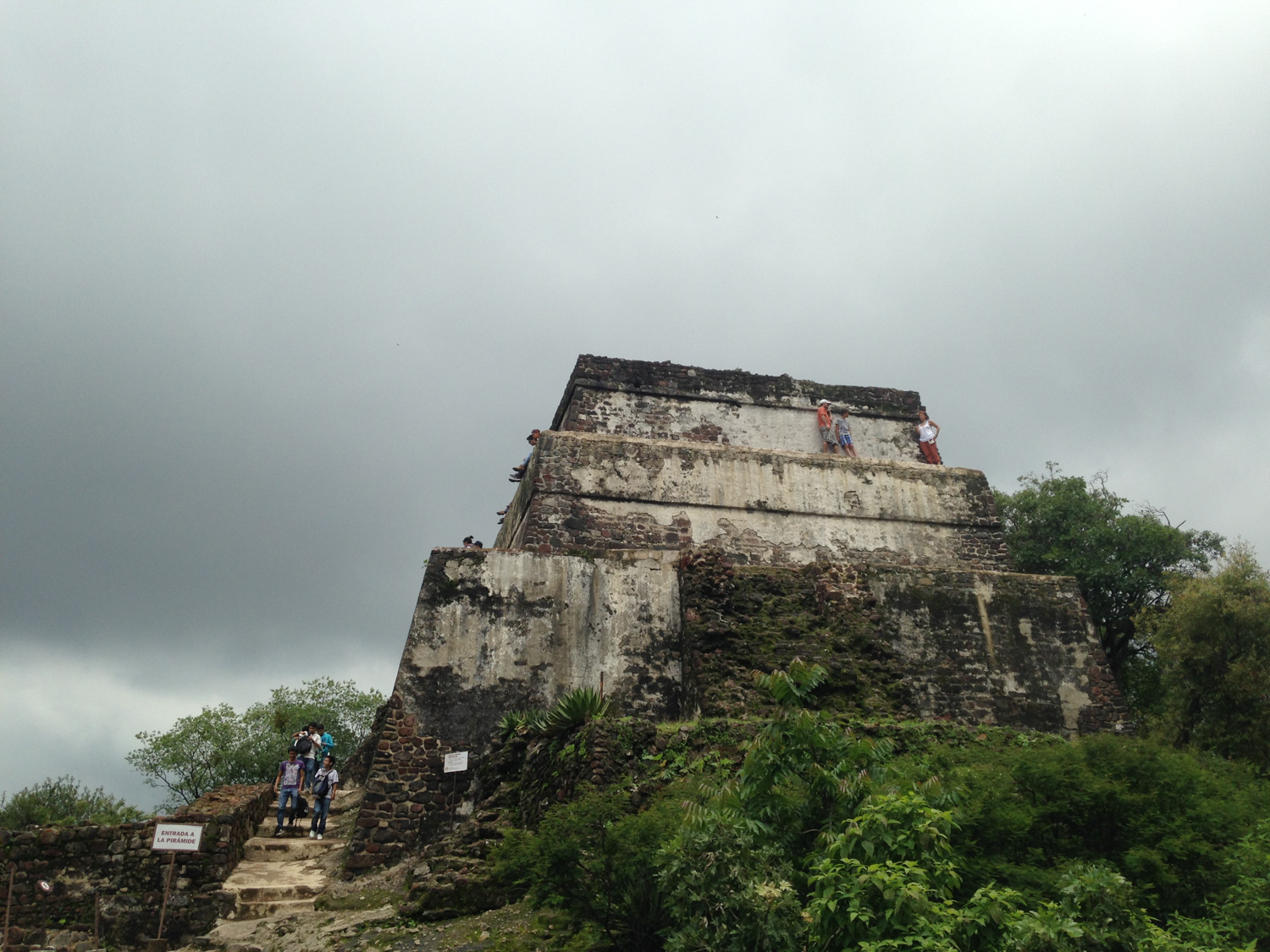
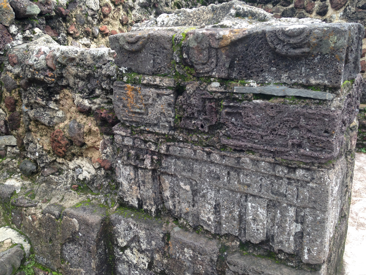
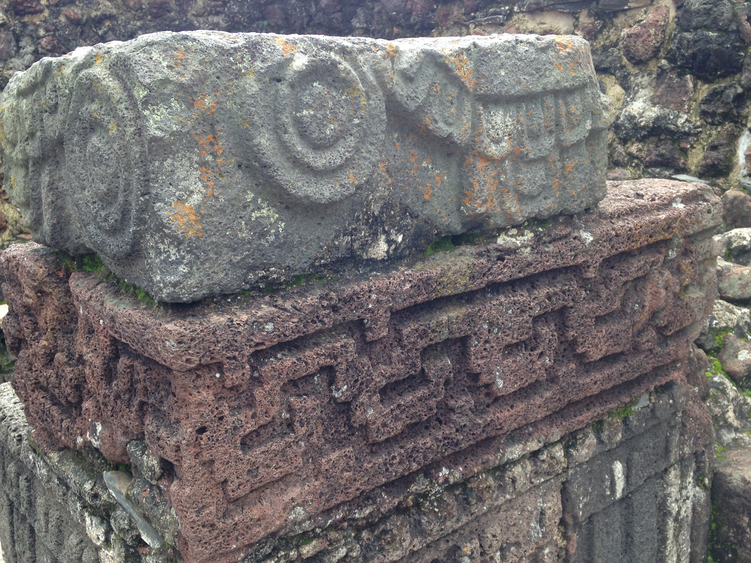
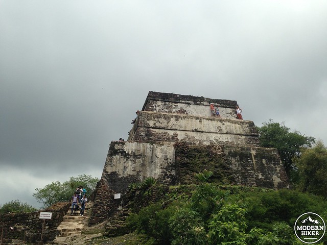
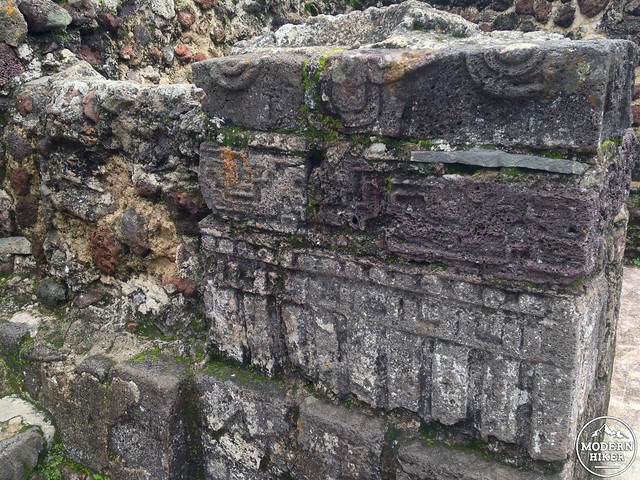
The site was occupied by the Xochimilcas before being conquered and vassalized by the Aztec Triple Alliance in 1438. It is still unknown when the temple itself was built – estimates range from the 1400s to the 1500s – but it was used as a shrine to honor the god Tepoztecatl – a god of drunkenness and fertility associated with the pulque drink made from agave plants. Although the shrine itself is small, it was important enough to attract religious pilgrims from as far away as Guatemala … although I suppose if you’re the god of drunkenness and fertility you probably don’t need help with your party invitations.
A shrine and statue of the god stood on top of the pyramid until the 16th century, when a Dominican friar destroyed them.
Today, you can pretty much climb all over the site – there are only a few areas of old residences that are off-limits to visitors. Enjoy getting such a tactile experience with ancient history … and make sure to soak in some of those killer valley views, too.
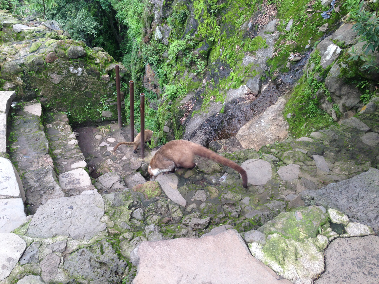
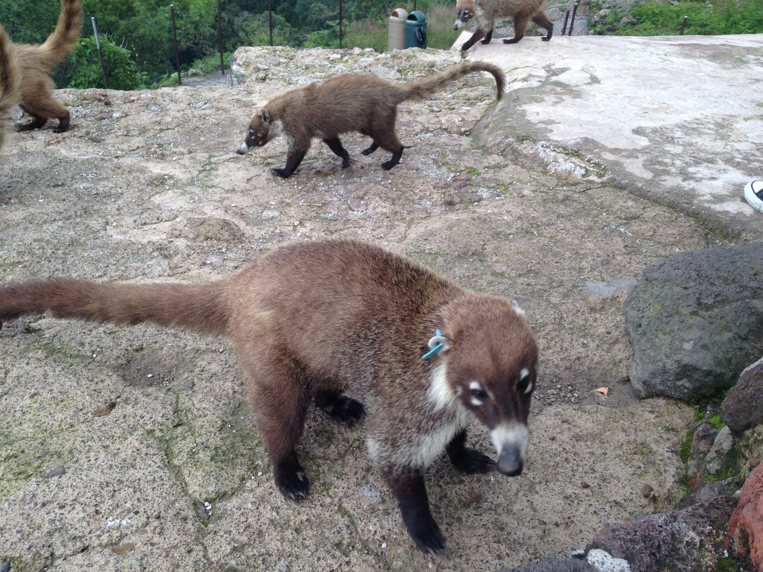
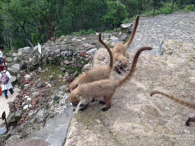
Also, you’ll want to be on the lookout for these little guys:
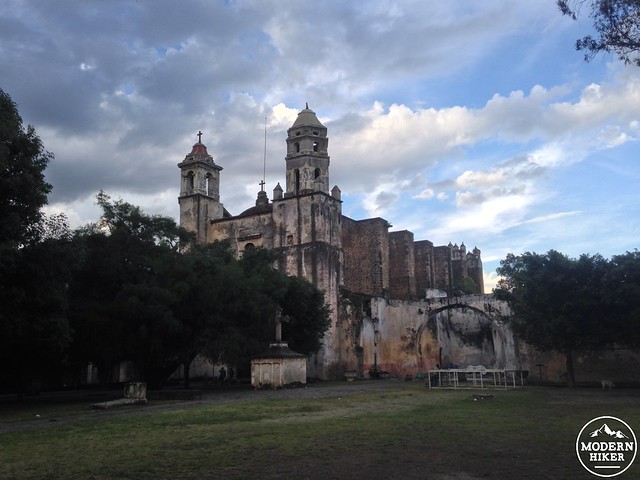
Descend back down the trail the same way you came up. When you get back to the village, be sure to stop by the market for some killer food and wander through the circa-1555 Ex-Convent of the Nativity, which is also a UNESCO World Heritage Site.
For travelers without cars: México has an excellent public transit system as well as numerous affordable private bus options including Pullman de Morelos and Estrella de Oro . There are many public and private lines that will take you from D.F. to the Cuernavaca bus depot, and you can purchase a private taxi ride to Tepoztlán from inside the depot. Unlike in the States, in México you negotiate the fee for a cab before you get in – and at bus stations you often pay the station and hand the driver a ticket.
Tags: aztec, d.f., daytrip, Hiking, history, mexico, mexico city, morelos, national park, tepozteco, tepoztlan pyramid, transit accessible