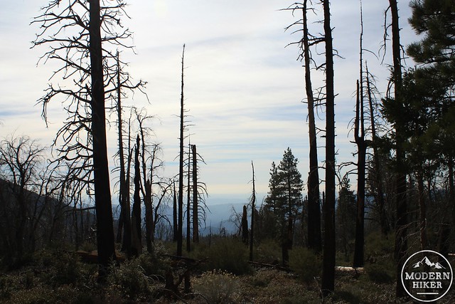
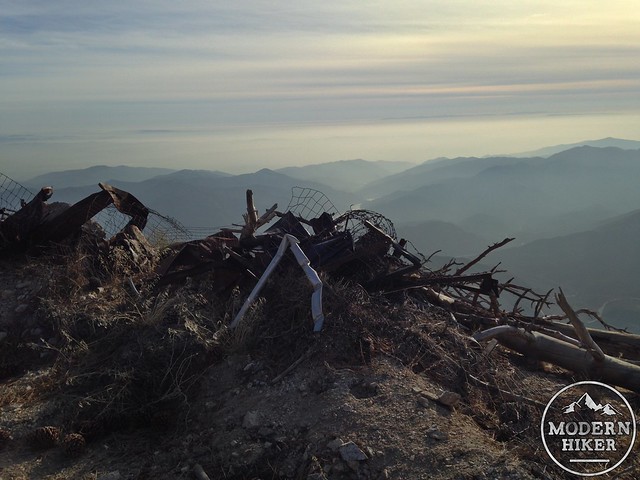
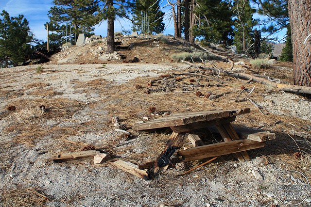
South Mount Hawkins is a prominent peak deep in the San Gabriel Mountains. With commanding views of San Gabriel Canyon to the south, Sheep Mountain Wilderness to Mount Baldy to the east, and past Twin Peaks and the front range to the west, it’s easy to see why this peak had a fire lookout tower on it for so long. Unfortunately, in 2002 the Curve Fire swept through the area, taking the tower out with it.
Still, this trail near the end of CA-39 has more than enough to justify a long day hike or multi-day backpacking trip. Small but popular Crystal Lake is one of the only naturally formed lakes in Southern California and is often stocked with rainbow trout for anglers. The nearby Crystal Lake Campground offers cabins and campsites that feel a world away from the city, and the Crystal Lake Cafe has fantastic homemade food (including some killer vegetarian soups). The area is popular with hikers, campers, anglers, road cyclists and mountain bikers – and in the winter, snowshoers!
This challenging and epic loop route takes you up the north wall of the natural amphitheater that hems in the Crystal Lake Campground, then circles back via a section of the Pacific Crest Trail before turning south along the long, undulating Hawkins Ridge. Here, it visits the site of the circa-1935 wooden fire tower before returning to the trailhead via the old (and slightly disheveled) dirt service road that used to end at the tower.
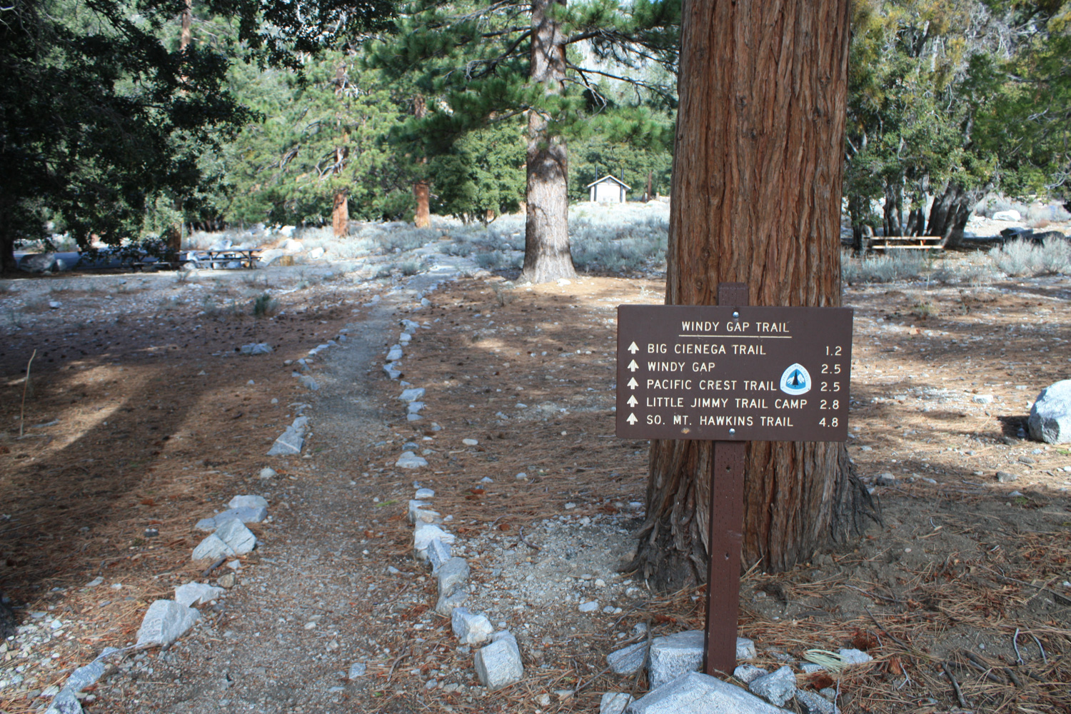
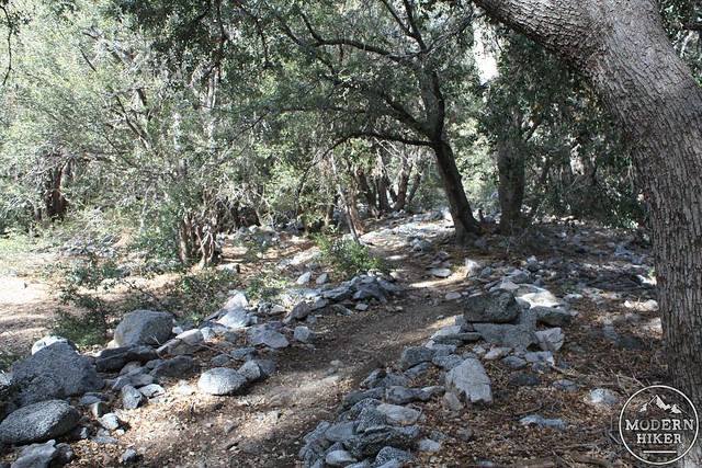
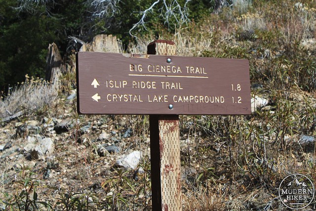
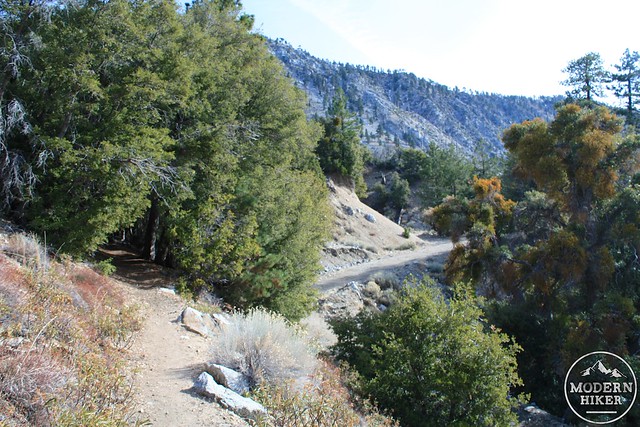
This trail starts at the end of Crystal Lake Road, where a gate prevents you from driving through the campground sites. Lace up your boots, put on your sunscreen, and start hiking on the Windy Gap Trail as it meanders through creekbeds and camp sites.

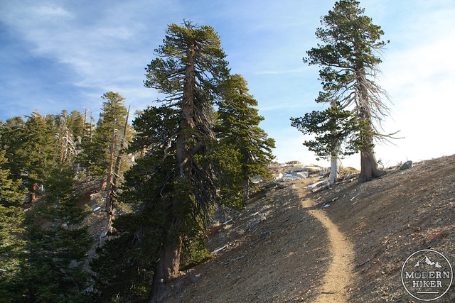
In the first 0.4 miles, you’ll cross the now-dirt Crystal Lake Road and the trail will start some short and easy switchbacks as it leaves the healthy pine groves for an area ravaged by bark beetles and drought. Views of the canyon to the south will already start to open up but don’t worry about soaking in the views just yet – they’re much more epic later on.
The Windy Gap Trail stays within view of the road for the next half mile, at which point it makes a sharp switchback turning north. From here, it’s pretty much a bee-line straight to the saddle of Windy Gap – and if you’re looking at it and it seems a bit higher than where you’re standing now, that’s because it is. By now you’ve already gained 1140 feet and the rest of the trail to the Gap is at about the same incline, so get your legs used to it.
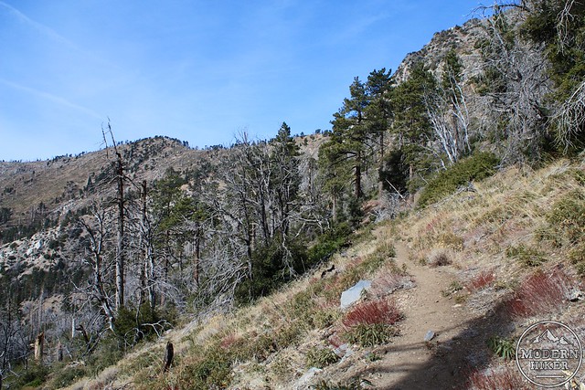
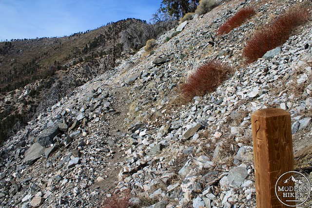
The trail passes through meadows and manzanita before eventually hitting some scree slopes. There are some sections of the trail here that are in need of new retaining walls but everything is passable.
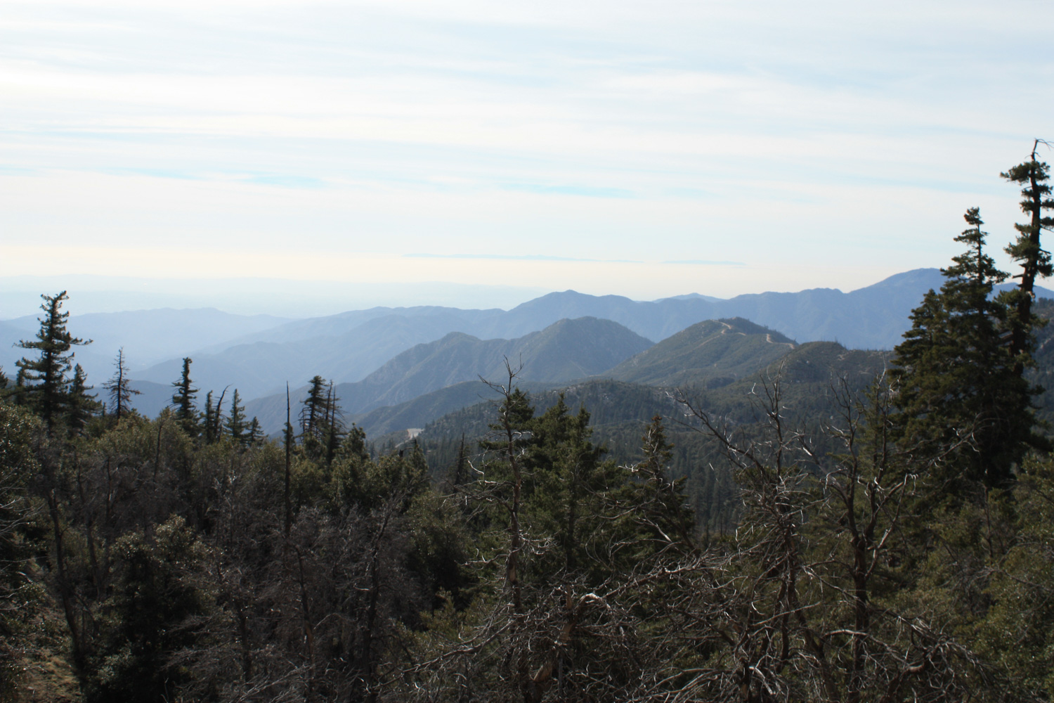
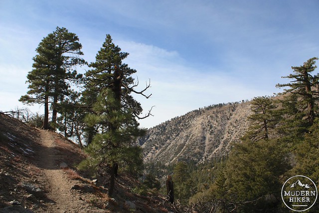
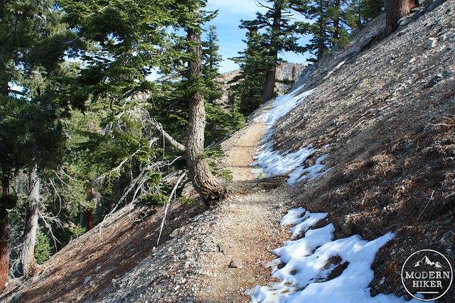
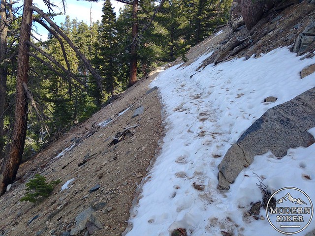
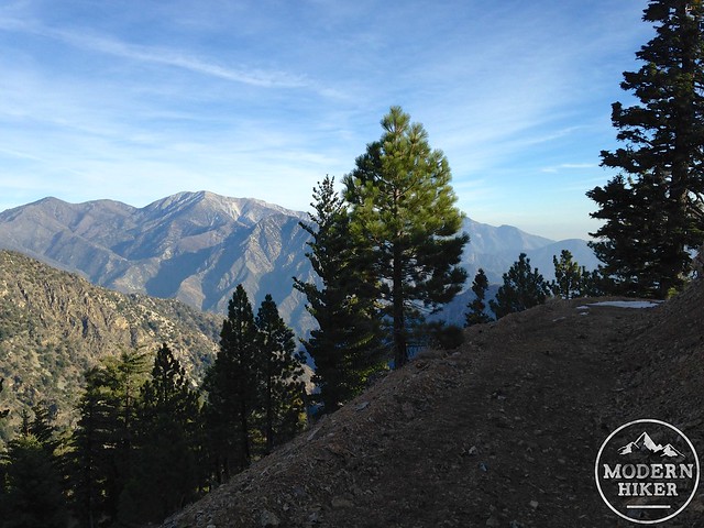
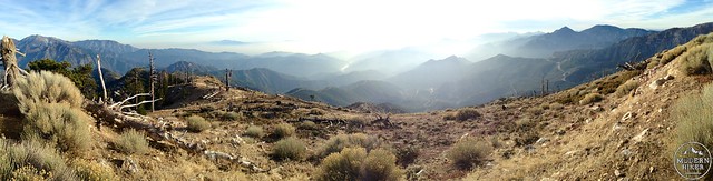
On these upper stretches of the trail to Windy Gap the pine trees thin again, but you’ll get some epic, sweeping views of the canyon below you as you keep on that seemingly never-ending ascent.
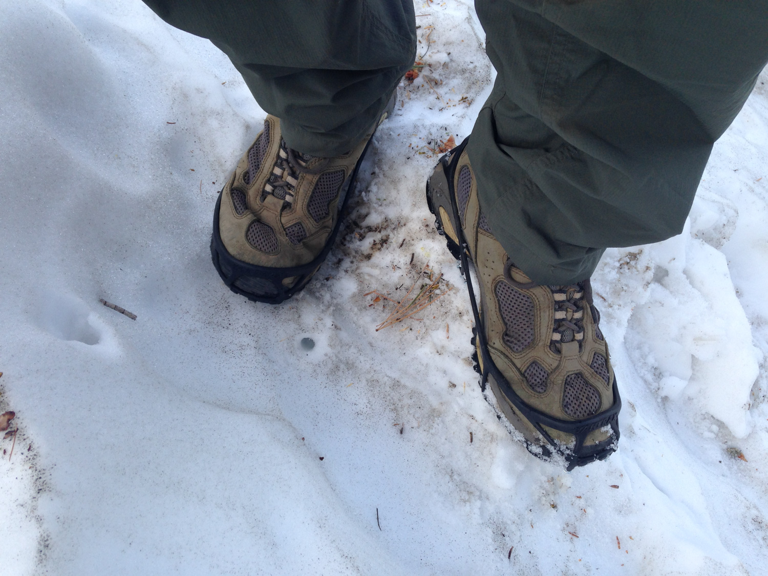
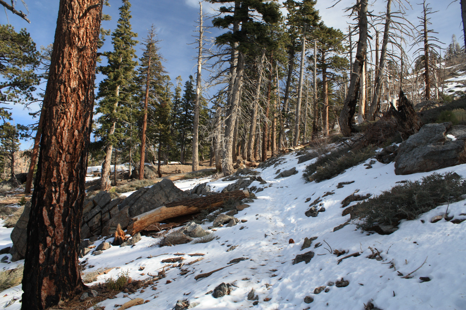
Even into the early Summer, there may still be snow and ice on this section of the trail. Because it’s on a north-facing slope and usually behind the ridgeline, the cold stuff can hide out here much longer than it does on other trails in the region. When I hiked this route the trail started off with just a dusting on the edge of the trail but quickly became completely covered by packed ice and snow.
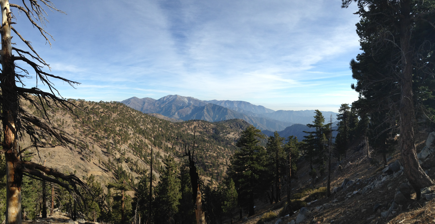
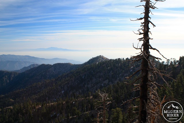
As the trail nears the 3.5 mile mark you’ll be rewarded with two things – first, the merciful start of your long descent and second, a view of Throop Peak to the east.
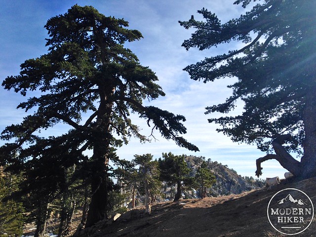
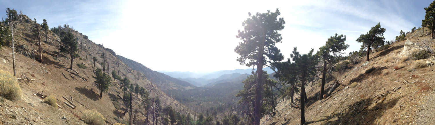
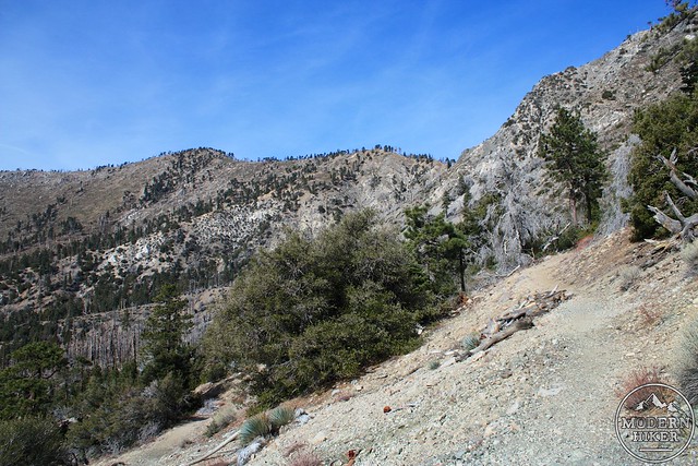
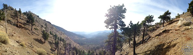
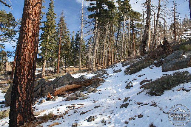
Despite needing some TLC in a few sections, the trail along the Hawkins Ridge is supremely peaceful and pleasant. There are some amazing views of the Sheep Mountain Wilderness to the east and the trail itself makes a gentle, winding descent along the ridge with some beautifully-designed twists and turns.
If you’re summit-seeking, there is an unofficial use-trail that runs along some bumps on the ridge. Between Mount Hawkins to the north and your destination of South Mount Hawkins are two named bumps known as Middle Hawkins and Sadie Hawkins – all named for Nellie Hawkins, a popular waitress at the now long-gone Squirrel Inn on the San Gabriel River.
She must have been quite a gal.
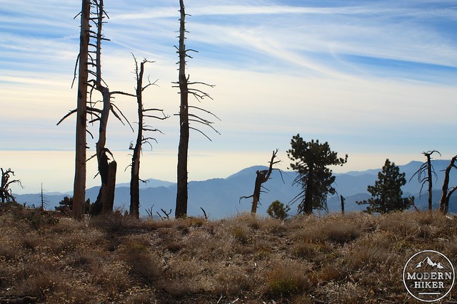
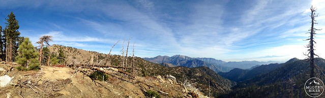
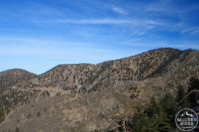
As you’re soaking in the jaw-dropping views, be sure to keep an eye out toward the south. The prominent bump on the ridge is South Mount Hawkins, and you’ll be up there shortly. As I was making my approach, the sun began to set, lighting up the surrounding sky and mountains in shades of pinks and purples that seemed very reminiscent of the Smokeys … or at least, of pictures that I’ve seen of the Smokeys.
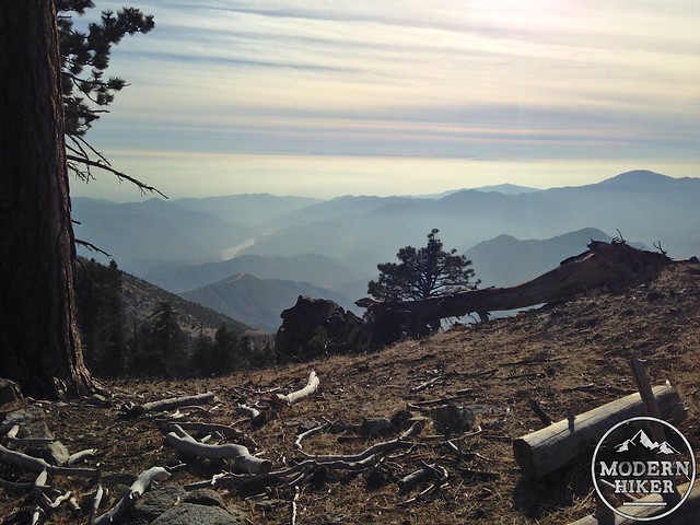
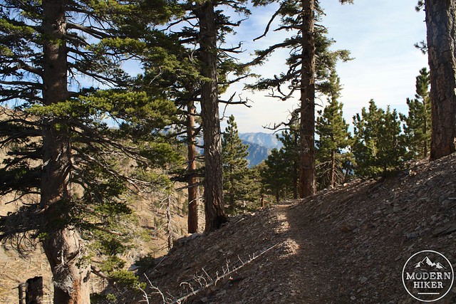
At around the 5.1 mile mark, the trail makes its way through a small meadow and begins its descent to the old fire lookout service road. The rounded bump of South Mount Hawkins is now directly in view – but you’ll still have some beautiful and epic vistas distracting you to the east, too.
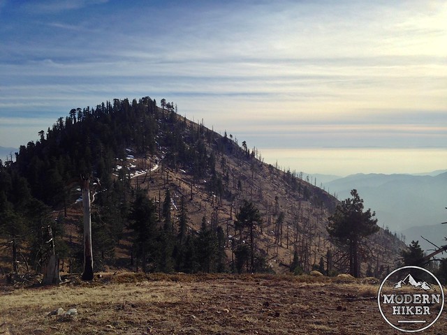
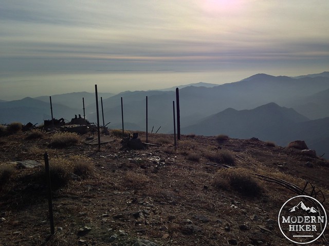
At 6.1 miles, take a left onto the old service road and begin your final, half-mile ascent to the summit of South Mount Hawkins. Be sure to give yourself enough time to really soak in the views when you reach the top – you can get a nearly 360 degree panorama while walking in the ruins of the old fire tower and I can guarantee you’re going to want to linger here for a while.
It’s five miles of old service road back down to the trailhead. You’ll have some decent views as you descend but it’s not nearly as interesting as the rest of the hiking you’ve done today. If you get down early enough, be sure to stop at Crystal Lake Cafe for some refueling before you head home after a day well-spent.
NOTE:
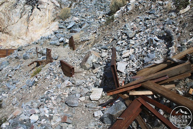
Rains in early 2014 have severely damaged the fire road descending from the South Mount Hawkins lookout ruins. Reader Alex Gurrola sent in this view of one of the washed-out sections:

As far as I know, the Forest Service is considering this road abandoned for now – so be prepared to give yourself some extra time as you’re making your way back down to the trailhead.
Tags: Angeles National Forest, crystal lake, Hiking, middle hawkins, Pacific Crest Trail, sadie hawkins, sheep mountain wilderness, south mount hawkins