Distance (round-trip)
3.8 mi
Time
1.5 hrs
Elevation Gain
1185 ft
Season
Spring
Summer
Fall
Winter
Weather
–
3.8 mi
1.5 hrs
1185 ft
Spring
Summer
Fall
Winter
–
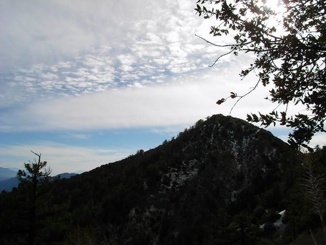
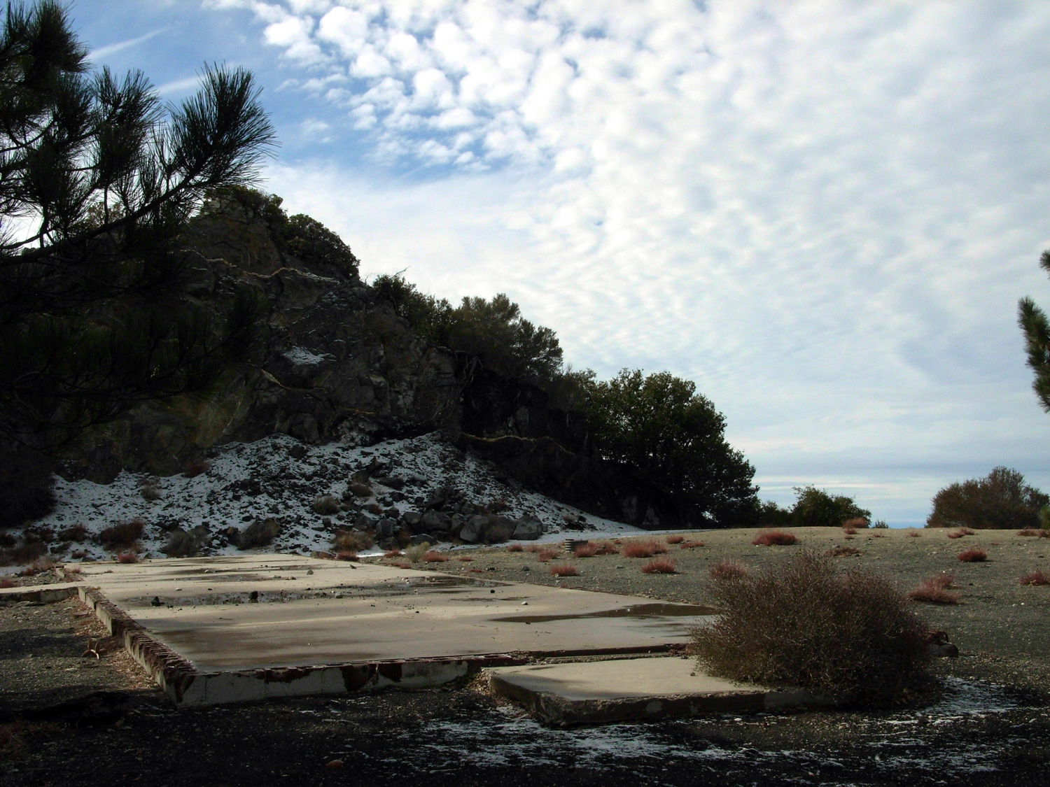
A short, steep, switchback-sprinkled trail up the north face of Mount Disappointment to San Gabriel Peak. You’ll pass an old Nike Missile Station and end your hike on a small peak with some nice 360-degree views. This is a fairly easy, shaded, and short hike, with great views (on clear days) and several opportunities to knock some other peaks off your list.
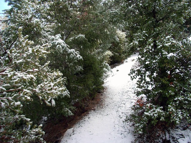
A friend and I decided to tackle San Gabriel Peak after a winter storm left a light dusting of snow. We drove through the Angeles Crest Highway, turned at the Mount Wilson Road, and parked in a small lot on a short side road.
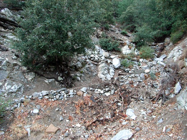
The trailhead looks like a mess, but I promise it’s really easy to find the Bill Reilly Trail. You should be able to make out some of the stonework that holds the trail up just south of the small parking area.
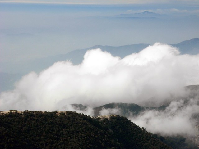
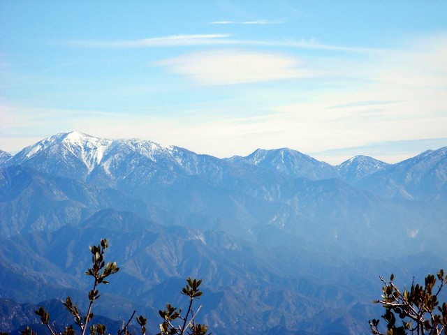
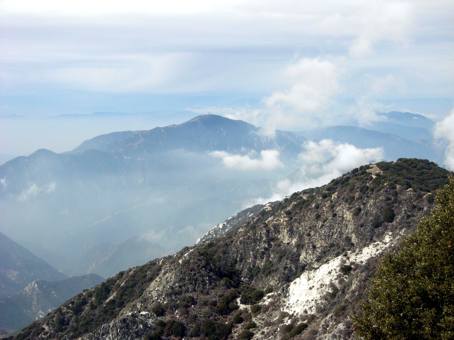
We hiked at a steady pace through the forested sections of the trail, but every time we popped out on the western ridge and faced the snow-capped mountains in the distance, we had to stop and gaze for a few moments.
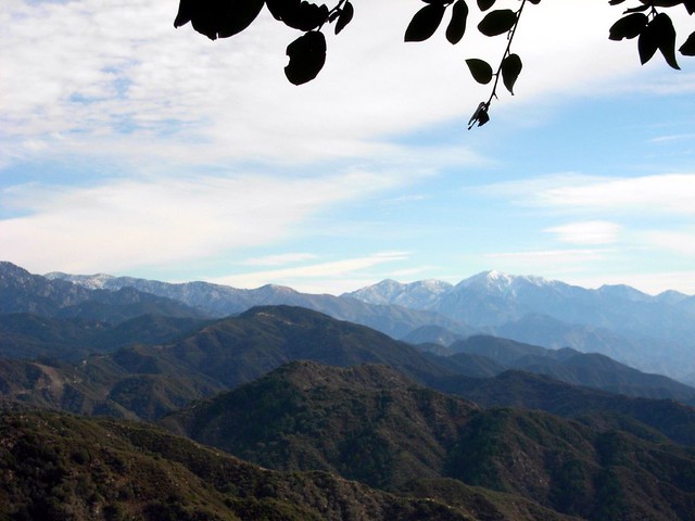
It does, however, mean that a lot of those higher mountains are probably off-limit to me for a little while … or until I buy some crampons.
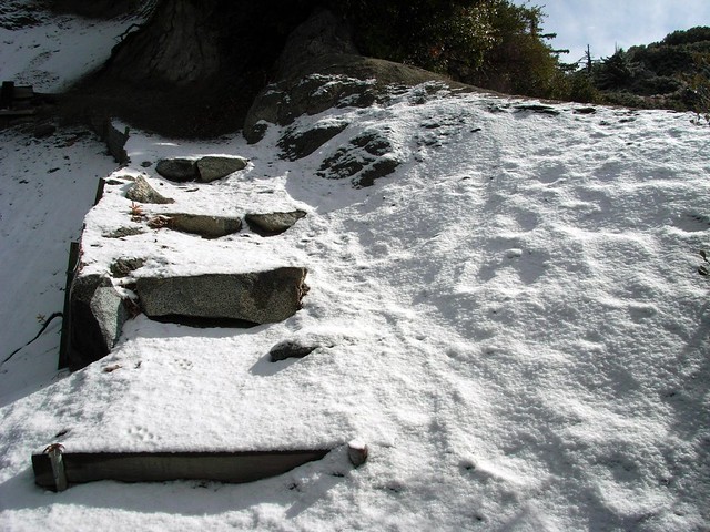
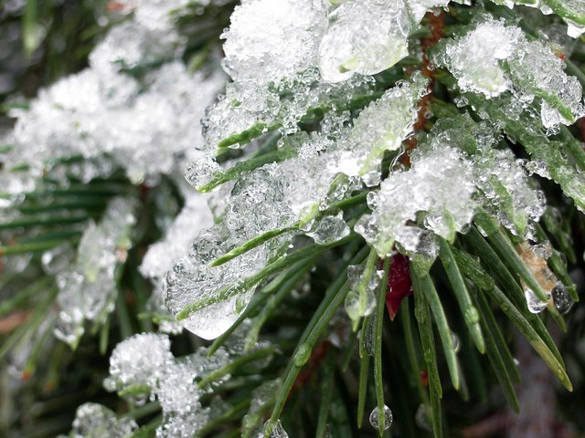
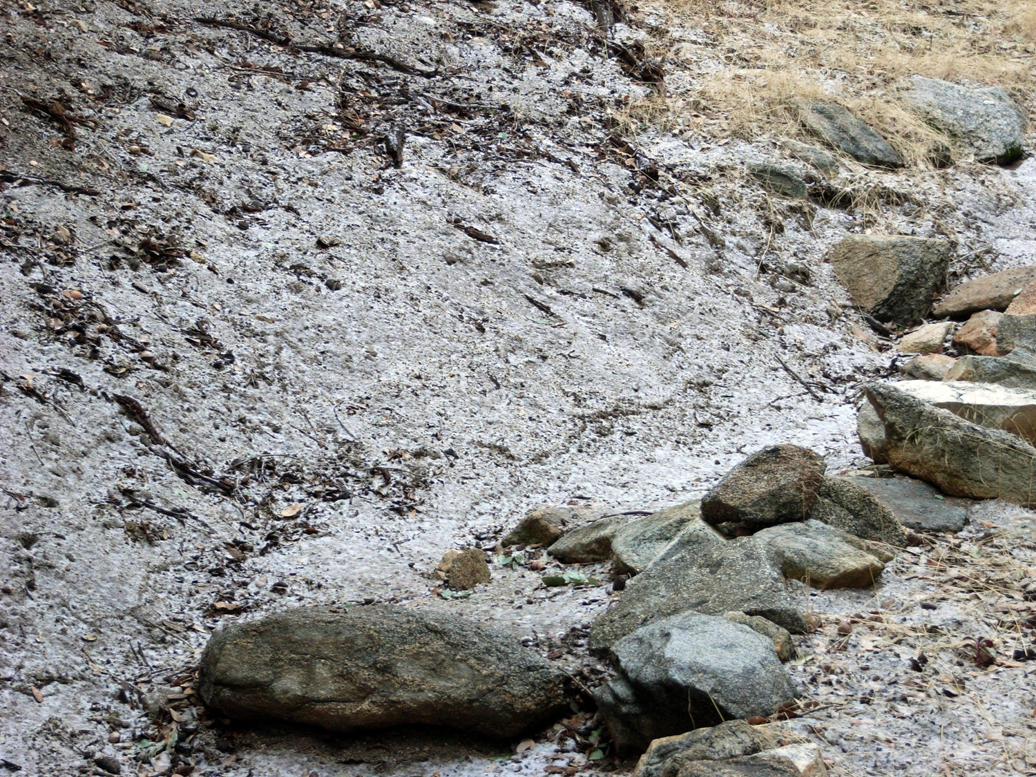
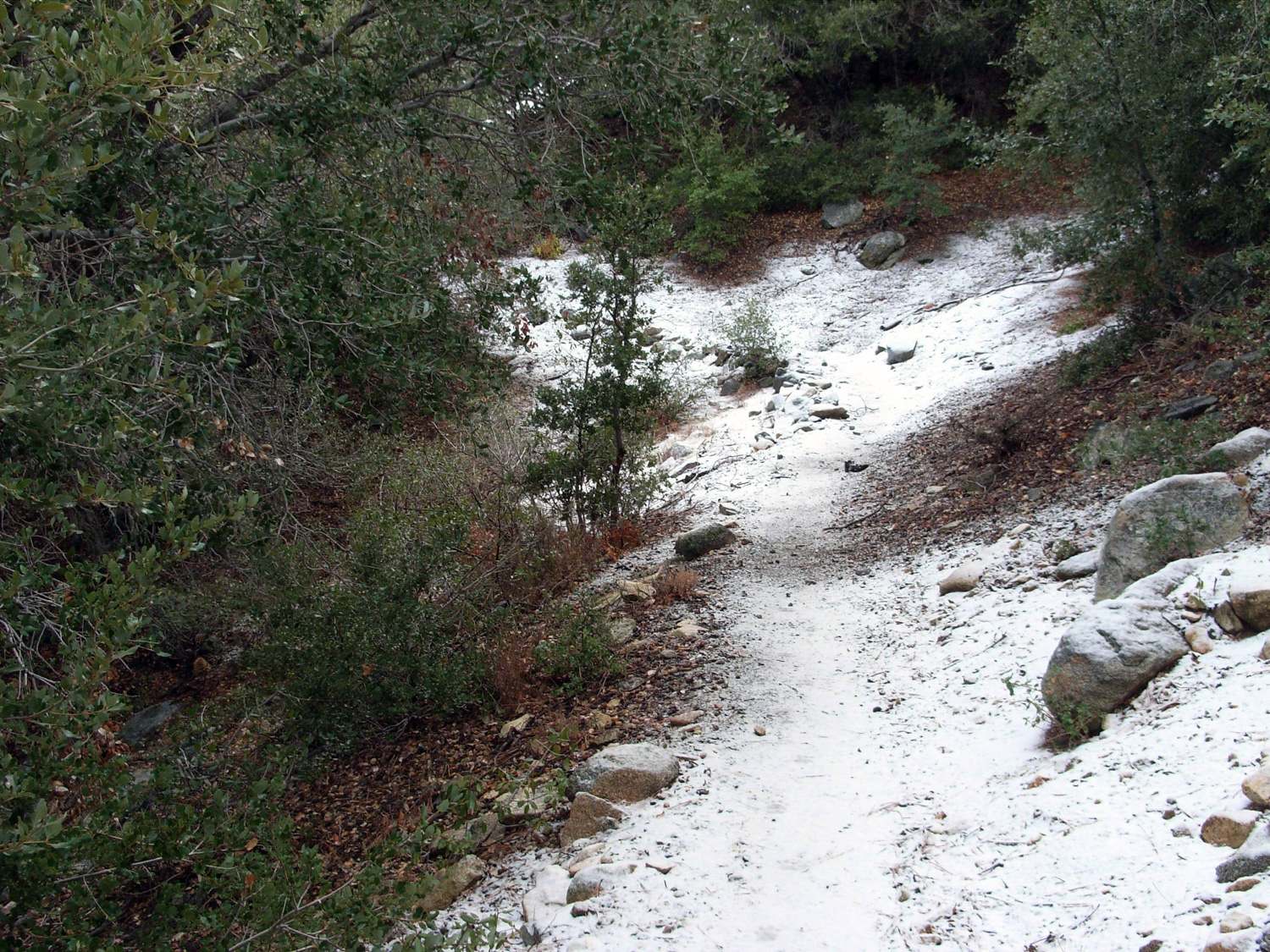
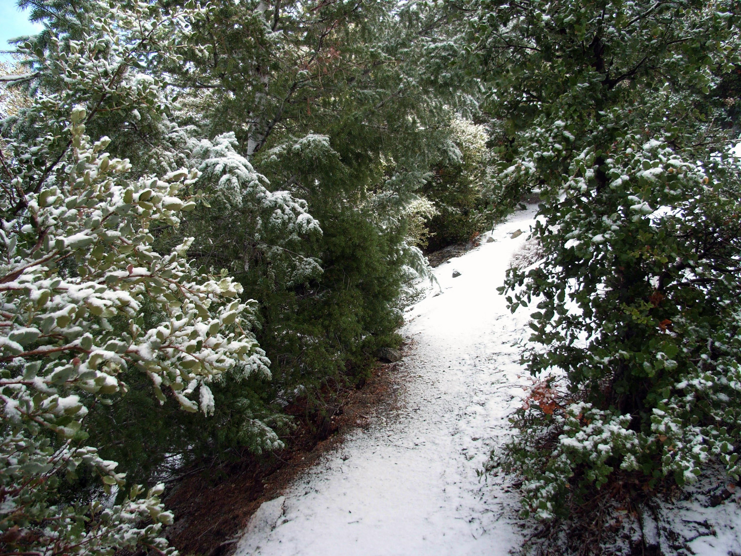
The hike was uneventful on the way up, until we started coming on some trail stones with a light coating of frost. Further up the trail, we had a little taste of full-on snow. Still not enough to get in our way, but enough to make two misplaced New Englanders feel like maybe – for just a minute – that it actually might be winter.
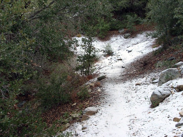
I mentioned we’re both stubborn New Englanders, right?
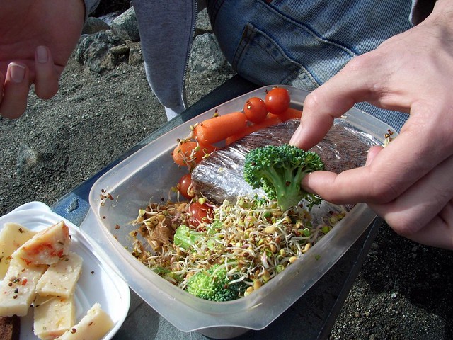
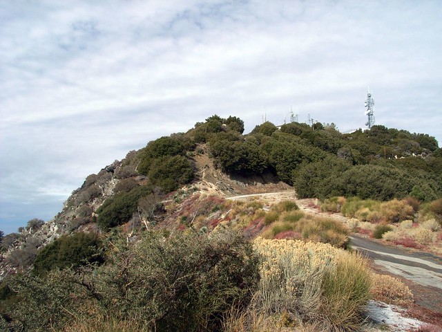
We got to the saddle at the 1.3 mile mark and stopped to have a small snack. We had a great view of the leveled top and old military and radio installations of Mount Disappointment – which is named thusly not for any aesthetic shortcomings but rather because early surveyors figured the pointy, prominent peak was the tallest in the front range when they first looked upon the San Gabriels … but quickly discovered San Gabriel Peak itself was just a bit taller. The effect is more pronounced now that the summit of Disappointment was flattened for infrastructure.
Being the first person on a trail – even if it’s an established trail – can give a slight sense of trailblazing. Knowing that we beat everyone to the forest that morning felt great, and crunching our boots on freshly fallen snow felt even better.
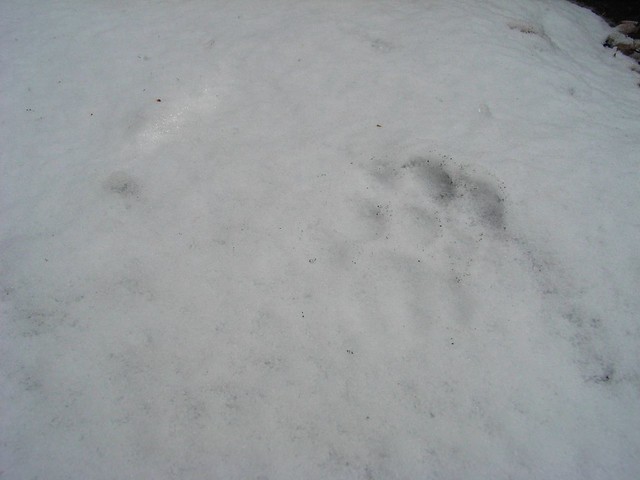
Whatever had beaten us to the trail that morning seemed to like walking on the trail, too. The footprints kept going for a while, and I stooped down to get a better look at the tracks.
The Sierra Club notes that 49 peaks above 5000 feet are visible from the summit of San Gabriel Peak on a clear day … but they also note that the last time they had a record of that happening was in 1947.
Very good. There are some steep switchbacks near the trailhead, but nothing terrible. The trail up to San Gabriel Peak is a bit more rugged and gets close to some steep edges, but is very manageable.
From the Angeles Crest Highway exit off the 210, head north for 13.9 miles and take a right onto Mount Wilson Red Box Road. In 0.4 mile, look for a nondescript dirt road on the right hand side. There is a small parking area here and the trailhead is just to the south of the parking area.
15 Comments
Indeed they have cut down a lot of manzanita and some trees too. Also cleared out all the burned area near Mt. Disappointment, which fortunately included the tall thickets of poodle-dog up there. There's still some along the trail to the summit and on the peak itself though.
Going up there in a storm is definitely a unique way to experience the trail - definitely try it again a day or two AFTER a rain to get that insane visibility.
Not sure on the manzanita whacking - that stuff does grow pretty thick up there so maybe they were pre-emptively cutting some back so the trail didn't get overgrown?
My friend and I did this on Saturday, January 10. I hadn't hiked in 2 months so this was a good one for me to start up again with. Had to stop to catch my breath pretty frequently. It was raining so, unfortunately, visability from San Gabriel Peak was 0, but the clouds looked awesome. Definitely want to do this again on a clear day. We were wondering why they were cutting down all the beautiful manzanita along the trail. It looked to be in beautiful condition. We asked one of the crew guys but he didn't have an answer.
I hiked this a few years ago and was about to put it on my blog, but I wasn't sure if the trails up to the peak had official trail names or not. If any of the trails to San Gabriel Peak have names could you let me know, starting from Mt. Wilson Rd parking.
Should mention that I did make it to Mt. Disappointment, which was not a disappointment at all. (I look forward to saying this every time I talk about this hike).
Did this hike today (12/8/2013). Plenty of snow, it was beautiful! However the trailhead looked very harrowing and slippery, so for a snow-hiking novice like me, I opted for the paved road (which was still pretty slippery at parts). A much longer way to the peak, but with great views to keep you occupied.
Didn't get to San Gabriel Peak since I was pressed for time, so definitely going back. Hopefully I'll be brave enough to take the trail next time!
My wife and I went up with shears and gloves today and cleared the entire routes up San Gabriel Peak and Mt Lowe. Guerilla trail work at its finest...
We put the shears away when we climbed Markham, some nice scrambling up that ridge but no snakes. :(
Matt: Whoa, I'm new to the area, and had no idea - thanks for the education! I was rocking the long pants that day anyway (nice for bushwhacking, and incidentally good for snakes), so I didn't experience any swelling or blistering as a result of the Poodle Dog Bush. Sounds like I should go get me some Mega Millions tickets...
In any case, I'll be brushing up on my botany now - thanks again for the tip, Matt, and if you do go clearing, watch out for those snakes!
In response to Pete's comment:
I also did this hike the other day, but those aren't sage plants... The burn area has been completely taken over by Poodle Dog Bush (turricula), a poisonous plant that produces a poison oak-like reaction in most people that come into contact with it. It has sharp green flowers and attractive purple flowers, and also grows to impressive heights. It lies dormant for years and takes over following significant burns. Though native, it is also invasive but helps replenish the soil. The trail was impassable without bushwacking through the stuff, so if you didn't come down with a severe rash afterwards, I'd like you to purchase a few lotto tickets for me ;)
I'm personally going up soon to trim back much of these plants to clear up the trail, as it really is an awesome area of the SGs yet virtually nobody knows what Poodle Dog Bush looks like. I've always been fascinated with the ruggedness of those peaks (Disappointment, San Gabriel, Markham, Lowe) and I'm sure I'm not alone....
[...] information: trip reports here and [...]
With recent wildfire damage and ongoing waves of COVID-19 infections and restrictions, National Forest, National Park, and other public land closures, restrictions, or social distancing guidelines may be in-effect.
If infection rates are on the rise, please do your best to remain local for your hikes. If you do travel, please be mindful of small gateway communities and avoid as much interaction as you can. Also remember to be extra prepared with supplies so you don't have to stop somewhere outside your local community for gas, food, or anything else.
Please be sure to contact the local land management agency BEFORE you head out, as these conditions are likely to change without enough notice for us to fully stay on top of them. Thanks, and stay safe!
Click here to read the current CDC guidelines for traveling during the COVID-19 pandemic.