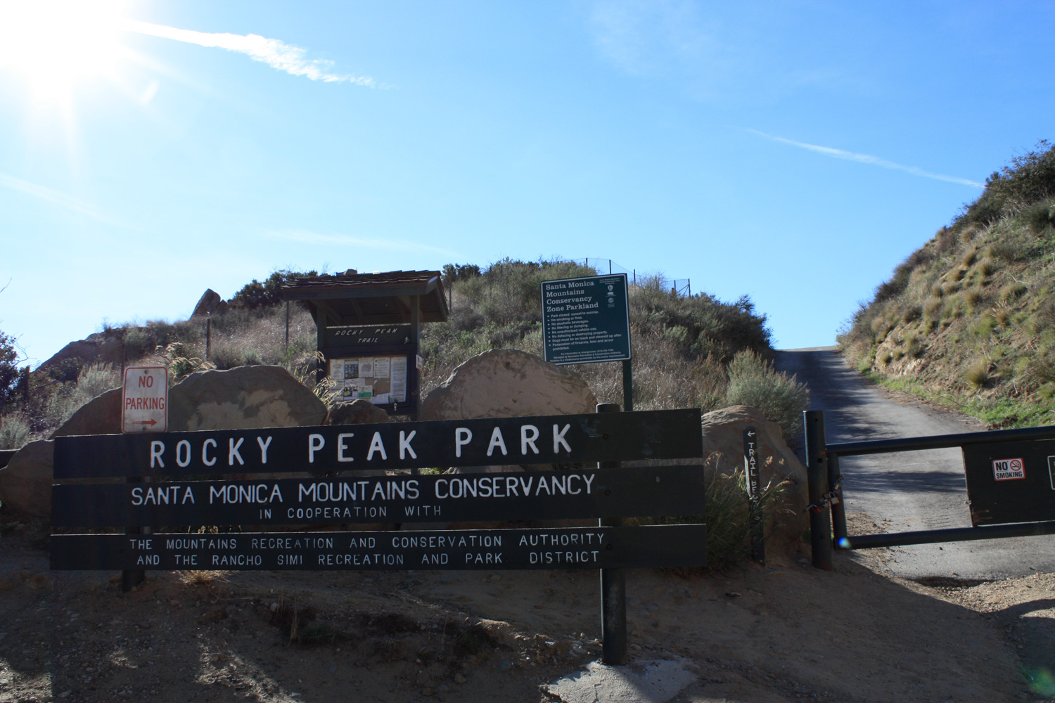
The trail to Rocky Peak is a moderate 5 mile hike along fire roads and trails, just outside Simi Valley. Easy trailhead access, interesting rock formations, and breathtaking vistas (when the air is clear), make this a great choice for an afternoon hike when you’re pressed for time — just avoid the hottest parts of the day / year.
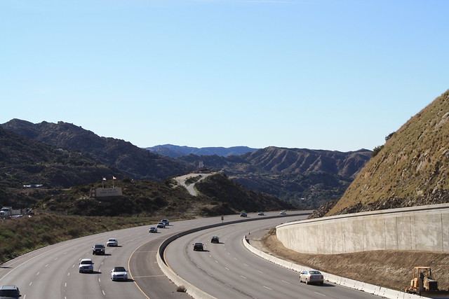
A reader wrote in to tell me about this trail, saying, “when you don’t have the time for a major hike, this can be a fun, quick adventure to get you out of the house.” It sounded pretty good from his description, but I was a bit skeptical when I arrived at the trailhead and found that it was directly next to the 118 Freeway. So close, in fact, that I had to walk across a bridge over the highway to get to the trail.
Would a hike so close to a highway offer anything remotely close to a natural experience?
The answer is a resounding yes.
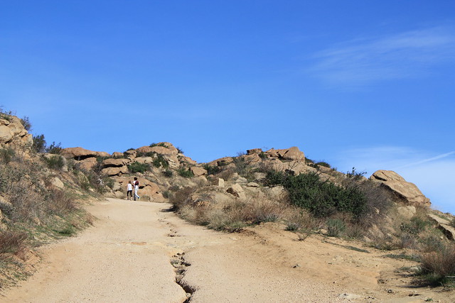
Even though Rocky Peak Park is located only a few feet from an off-ramp, the actual trail leaves this area quickly, ascending a small slope on a paved fire road. And even here, while you might be worried about having to hike on pavement, the tar gives way to a good ol-fashioned dirt fire road in just about 500 feet.
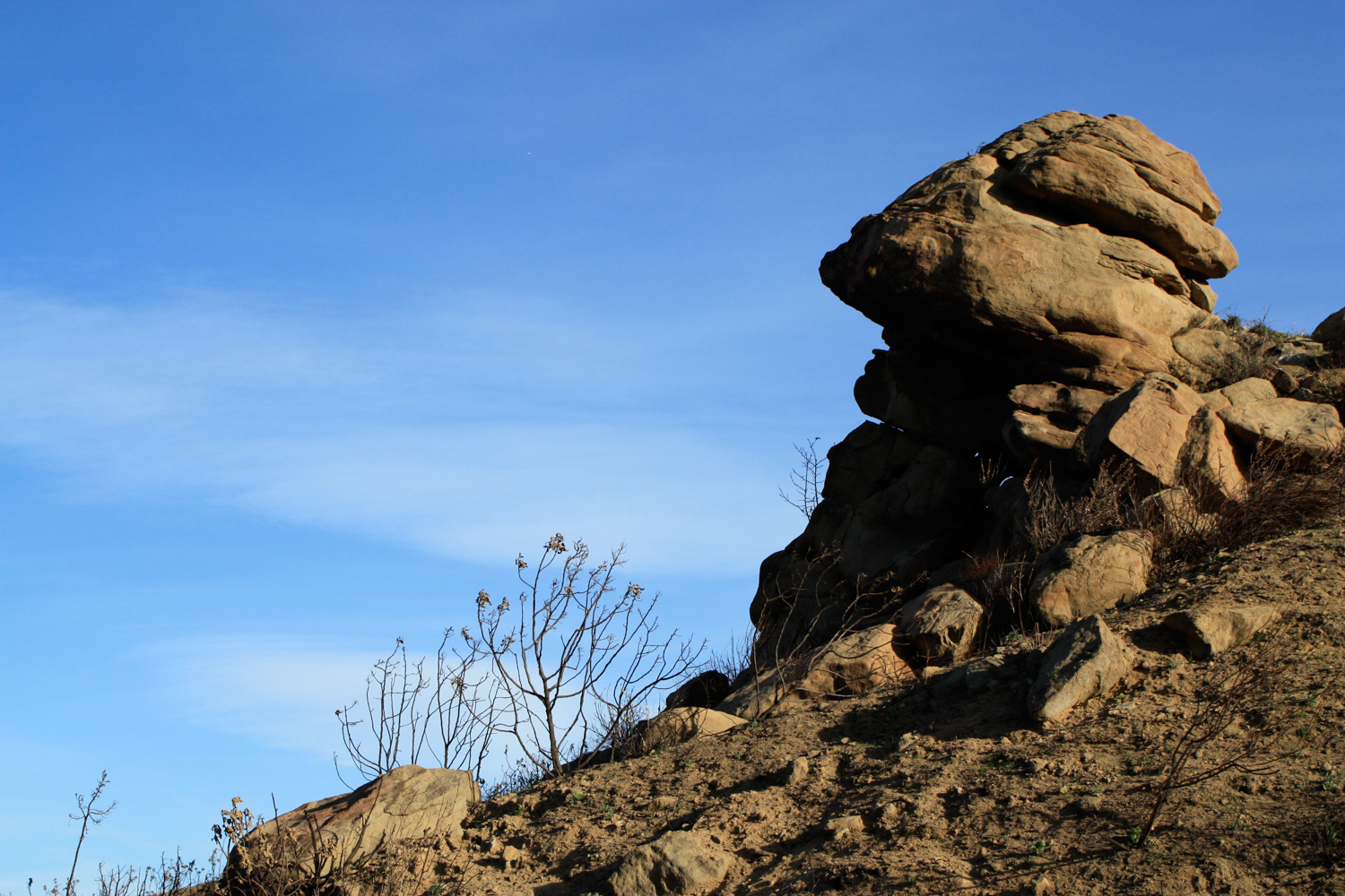
… and, as you can see, it’s not just plain old boring dirt road, either — it’s eroded, uneven, and for the first 0.4 miles, moderately steep and dusty — which means it can get pretty slippery.
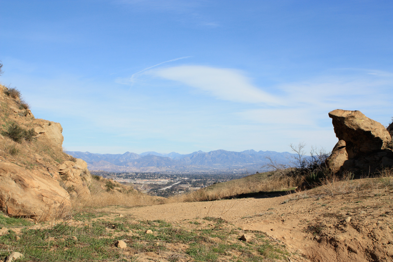
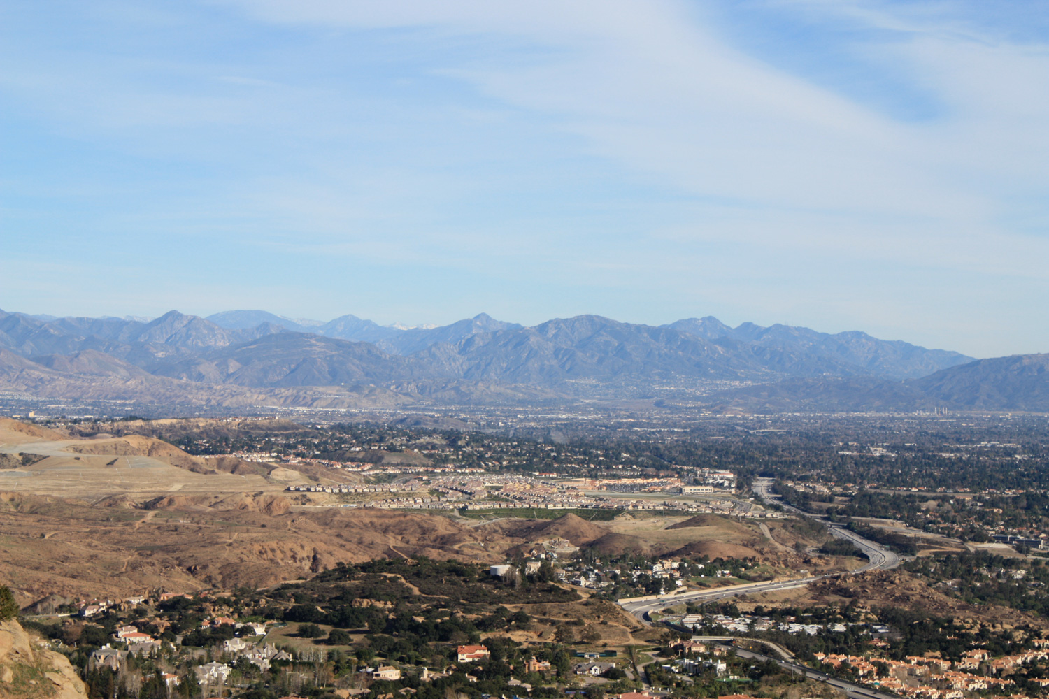
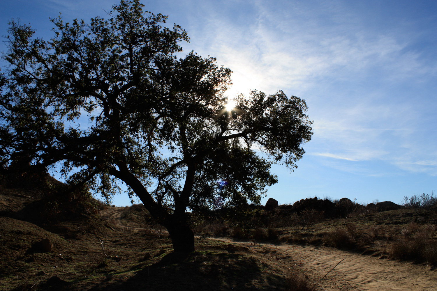
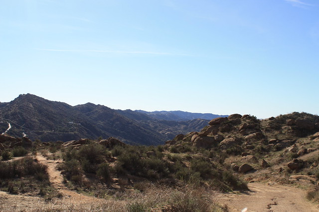
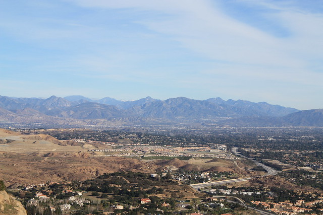
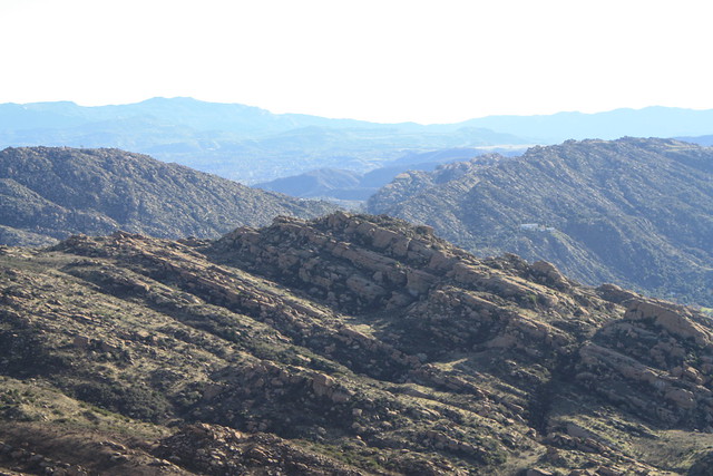
Almost immediately on this trail, I was struck by three things — the absence of traffic noise, the amazing views (even early on, I could see deep into the San Gabriels), and the landscape itself, which seemed like it belonged in Joshua Tree and not here in the Santa Susana Mountains.
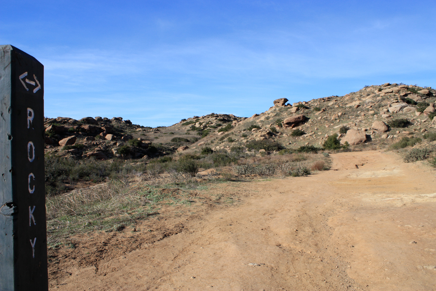
At around this point in the trail, it looks like there is a 3-way junction with a few other dirt paths and fire roads. Just keep heading to the left, and you should be fine. If, however, you do decide to venture off the “correct” path, you’ll quickly dead-end, so you’ll still be fine. You’ll just add a little bit more distance to your hike that day.
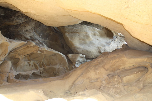
After this junction, the fire road isn’t as sandy, and footing is a bit more sound. At about 0.8 miles, you’ll pass a small cave on the northeast side of the trail. You can climb through and above the cave for some extra credit scrambling or hang out in the shade on a sunny day.
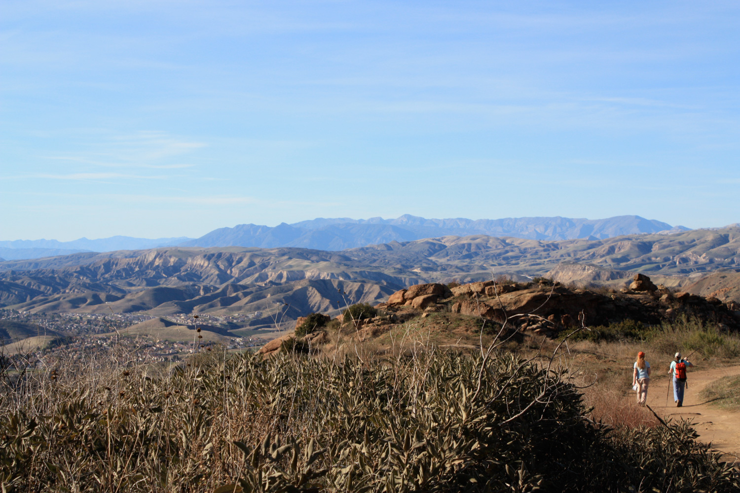
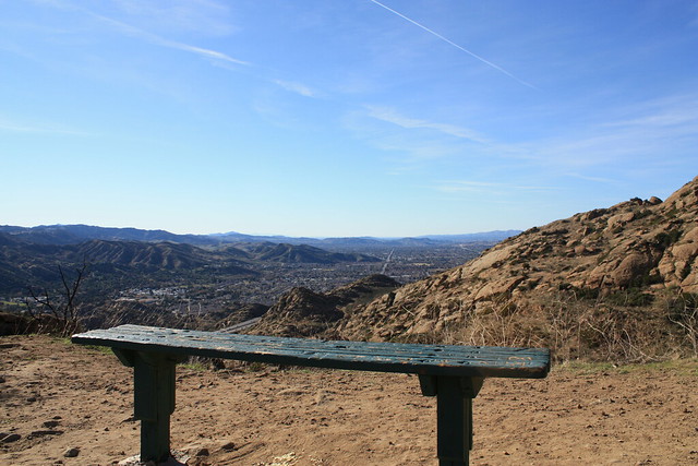
Just another tenth of a mile up the fire road, the Rocky Peak Fire Road Trail intersects with the Hummingbird Trail, a western-winding path that passes several caves on its way to Kuehner Drive in Simi Valley. You can hike down here if you’d like, adding 5 miles round trip, or instead just hang out on the nearby bench and marvel at the right-angle grid of civilization trying to impose itself on the uncooperative Southern California landscape.
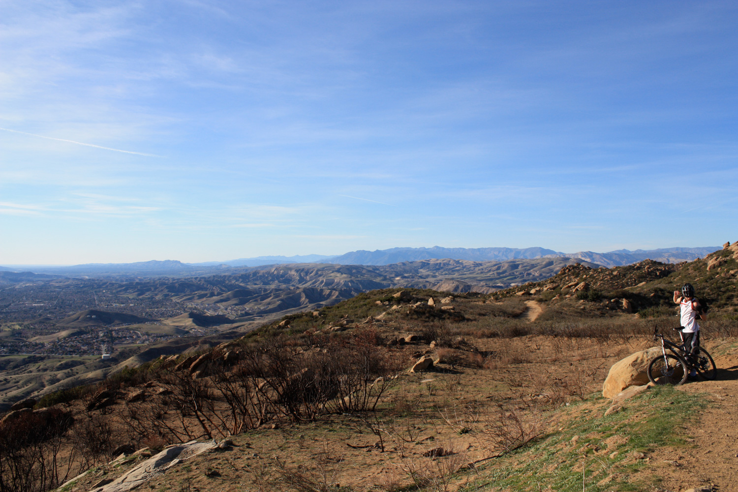
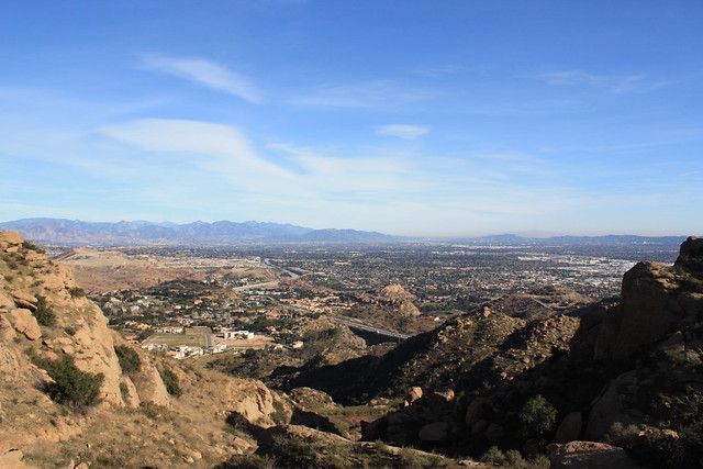
Continue north on the Rocky Peak Trail for about another 1.1. miles, winding your way through the boulder-strewn landscape, and enjoy the (hopefully) expansive views. I had phenomenal views on my hike — from the snow-capped San Gabriels to the east all the way out to the Channel Islands.
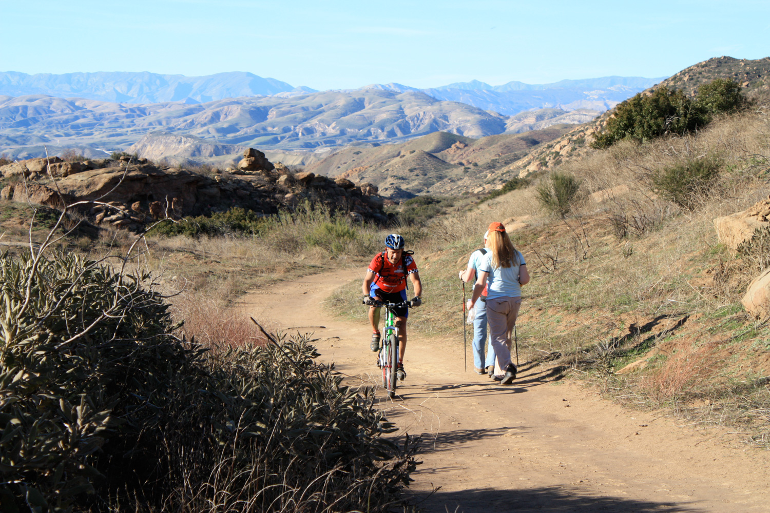
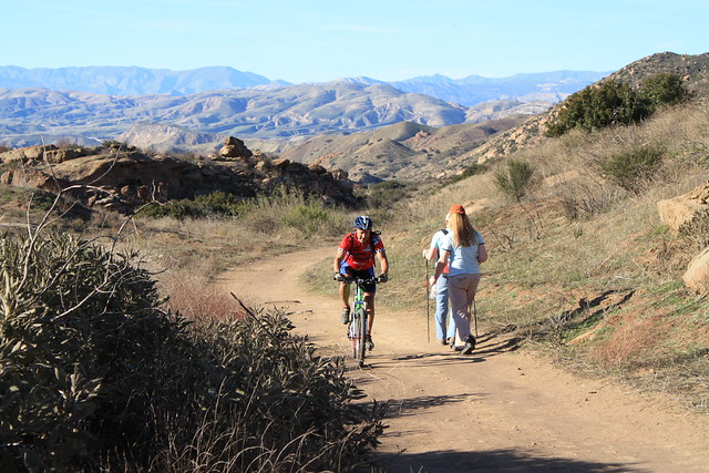
When I was on this trail, I passed several hikers including some small groups and families. But the trail never felt crowded, even with the occasional mountain biker whizzing past. The trail manages to keep itself mostly hidden until you get close to Rocky Peak, so even if there are a ton of people ahead of and behind you the odds are you won’t see them.
At the 1.9 mile mark, there is a spur trail that leaves the fire road and makes a no-nonsense climb to a saddle near Rocky Peak. You can take this scramble-hike route, or just continue on the fire road for another 0.4 miles. Either way, make sure you take a few minutes to take in the sweeping views from this more elevated section of the trail.
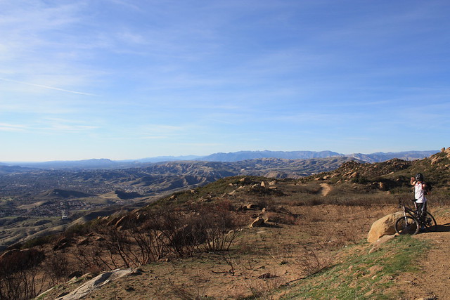
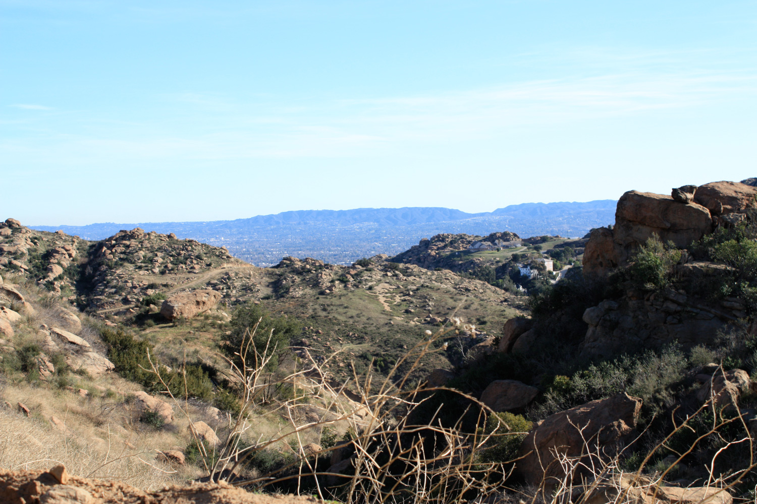
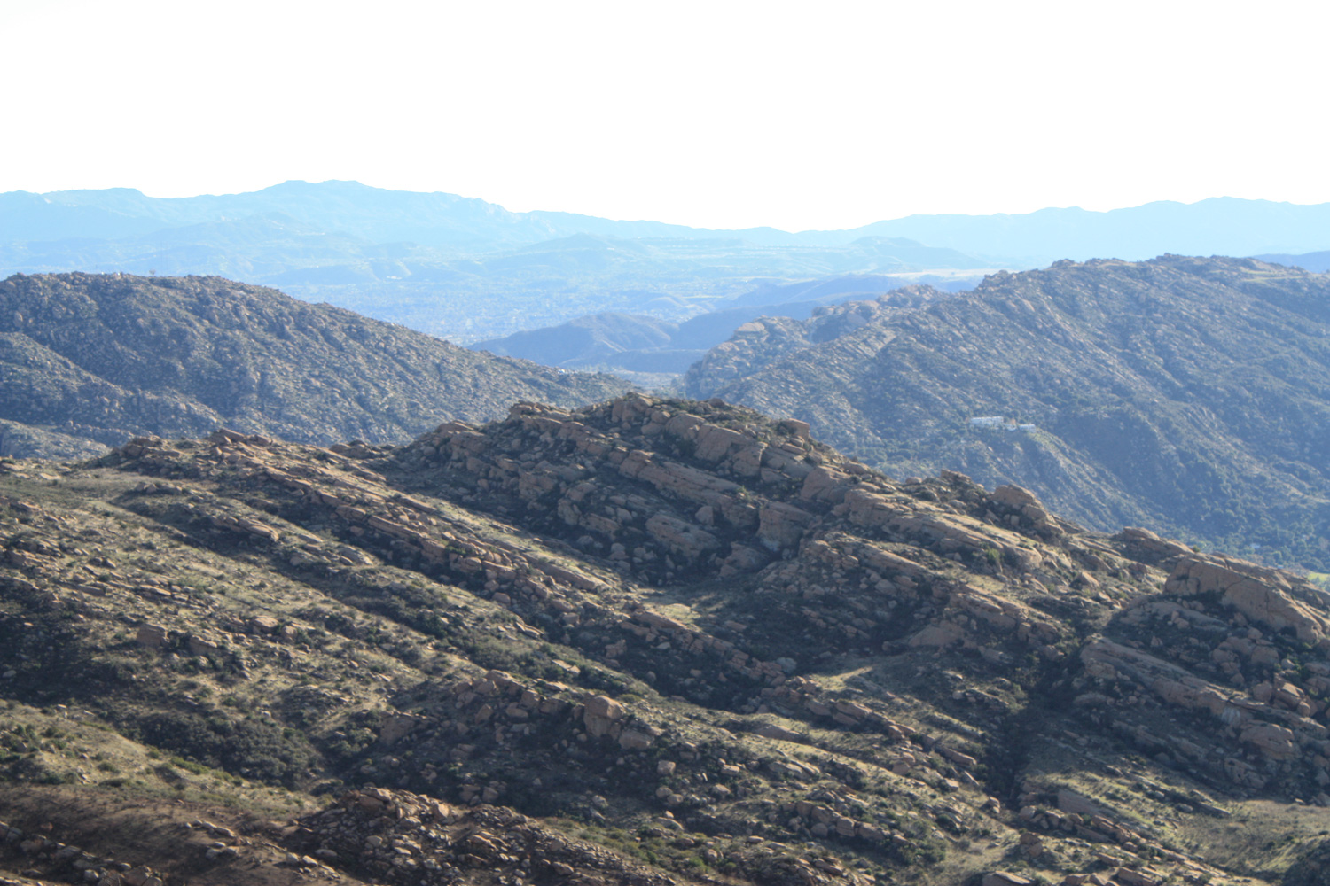
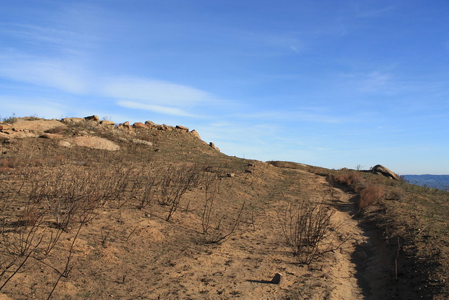
At about 2.3 miles, you’ll reach an overlook of the northwestern hills and valleys. There’s a small boulder that makes a nice rest stop, too. The fire road continues deep into the mountains, but if you look to your east, you’ll see a few visible footpaths cutting through the burned out brush.
This passes by a small cement area that I thought might be an old helipad, but probably isn’t … then continues as a soft-earth fire road for another 700 feet or so. The evidence of fires in the region is unavoidable.
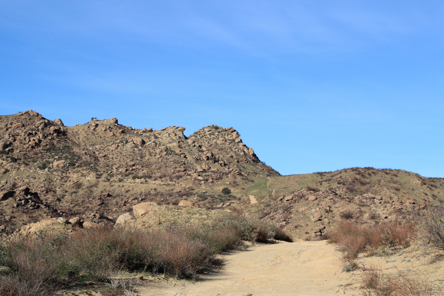
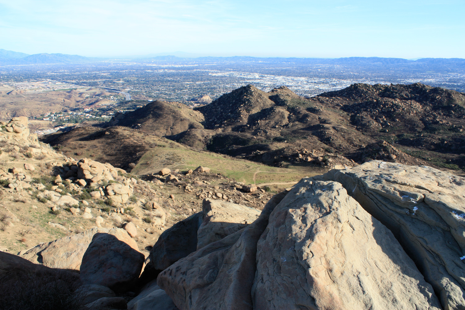
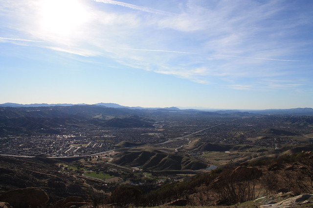
At this point, the fire road ends (finally!) and you’ll find yourself on a nice single track trail. 0.2 miles from the trail junction, you’ll reach a prominent peak that gives you incredible views of the entirety of Rocky Peak Park, and a great vantage of the fire road you just hiked to get here:
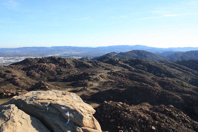
From this point, the small peak directly to your northeast is Rocky Peak. You will see a faint use-trail winding toward it, but to get to the top you’ll most likely have to get your hands a bit dirty with a light scramble.
When you’re done taking in the views, or, as in my case, getting blown around by the Santa Ana Winds, backtrack to the overlook. From here, you can either continue to the fire road to make your way back down to the trailhead, or you can take a shorter – but much more steep – trail to the south.
While your knees will most likely get a nice workout from this route, and you may have to slide for sections depending on how loose the rock is, it’s only about 0.2 miles, and should be manageable for anyone with a good sense of balance.
From the trail junction with the fire road, it’s about 1.8 miles of fire road back to the trailhead.
Tags: dog-friendly, Hiking, mountain biking, Rocky Peak State Park, Santa Monica Mountains, Simi Valley