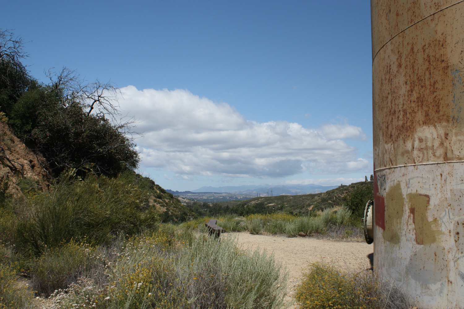
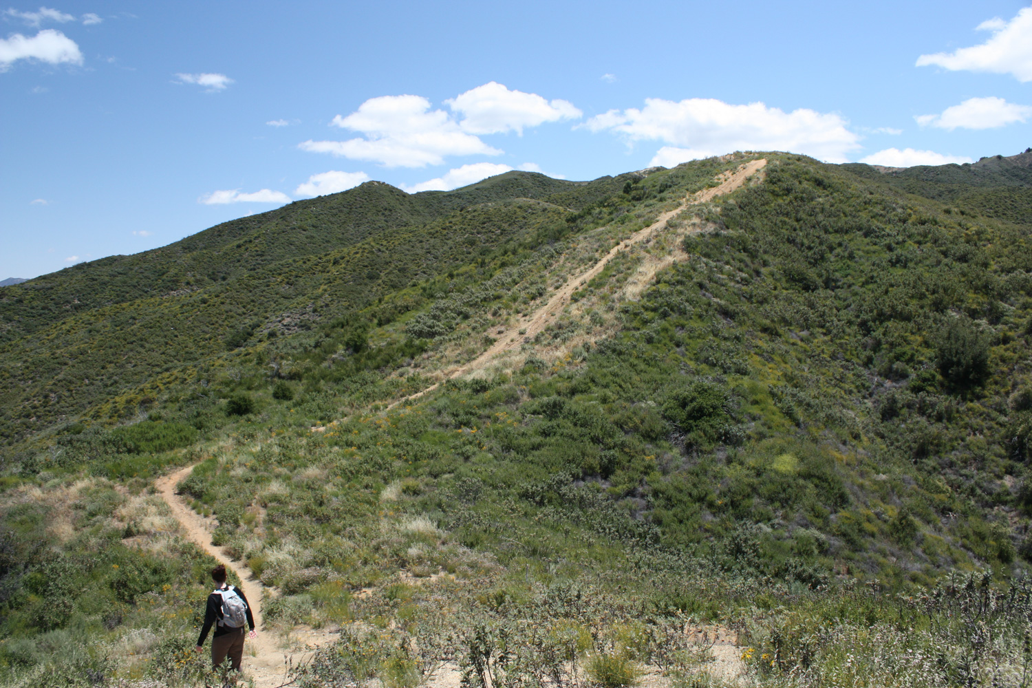
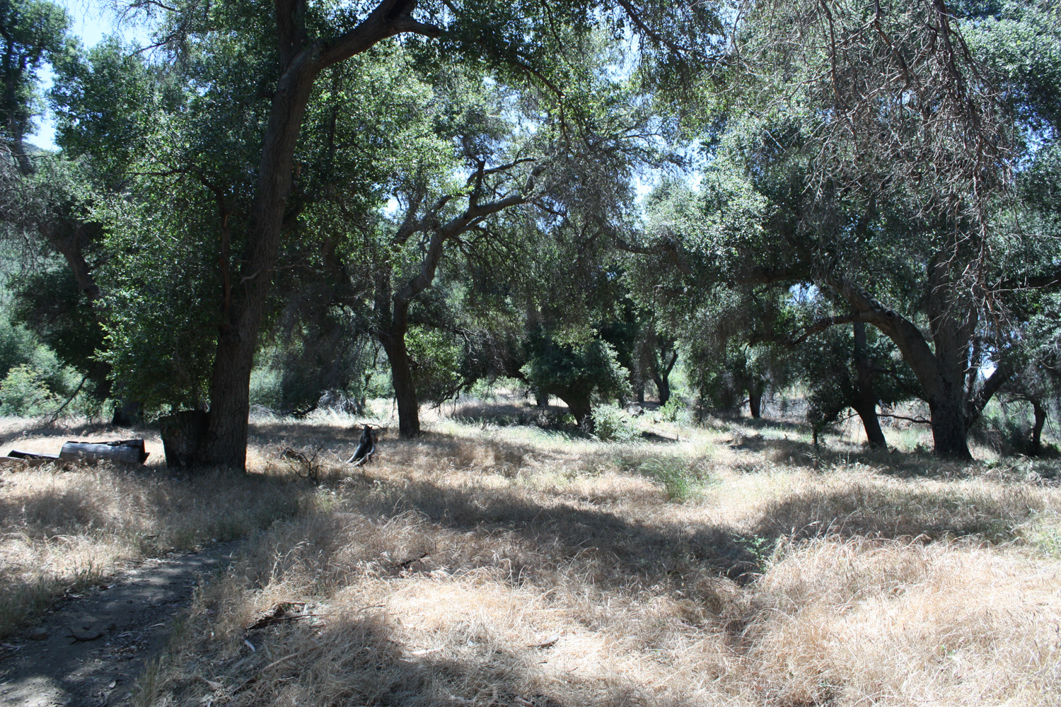
This 7 mile loop in Placerita Canyon Natural Area has a little something for everyone. This route starts out at one of the best Nature Centers at any local or state park, then makes a grueling ascent up a series of shadeless firebreaks that would make any hiker break a sweat. The second half of the trail is shaded in a surprisingly verdant canyon before meandering along the babbling Placerita Creek, with an optional side-trip to a waterfall. A really great loop – highly recommended. You can also make a side trip to visit the Oak of the Golden Dream — the site of the first gold rush in California.
The Placerita Canyon Nature Center really is one of the most well-maintained and comprehensive visitors’ centers in any Southern California park. Stocked with great exhibits and knowledgable staff, the center also has several animals on display and leads a variety of hikes and family-friendly programs. So on our recent hike in the area, we started off just wandering around checking out the live and stuffed animals in the center first.
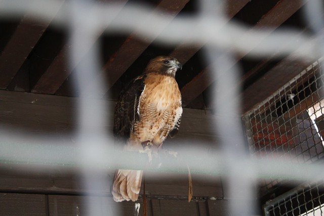

But we didn’t come here to get scared by the captive rattlesnakes – we came to hike – and there are plenty of excellent trails in the park.
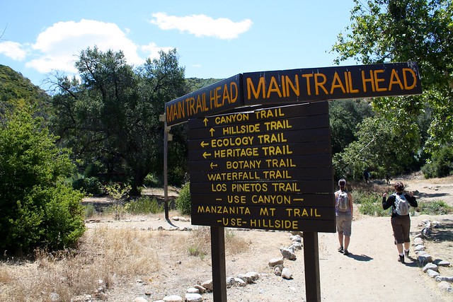
Right across the parking area from the nature center (and a short hop across Placerita Creek), you’ll get to the Main Trailhead – a junction of several trails that cross the canyon in various directions.
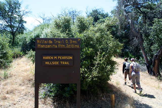
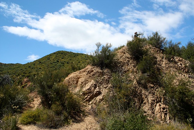
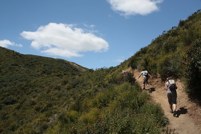
At 0.7 miles, the Manzanita Mountain Trail ends as you reach the firebreak that you’ll now be spending a lot of time on. You can scramble up the small bump to your north if you feel like stretching out those legs, or ignore the view and turn south – and get ready for a roller coaster ride.
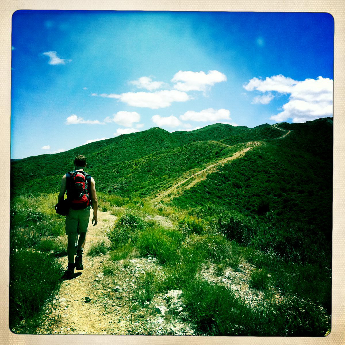
The next 1.8 miles of trail are a series of straight ups-and-downs on this shadeless firebreak. Every time you crest the next hill and think you can’t possibly have another one to climb up, you see two more – but it’s a great workout and if it’s not hot outside, it’s pretty fun. As long as you’re mentally prepared (and have some good footing on the declines), you’ll be in good shape!
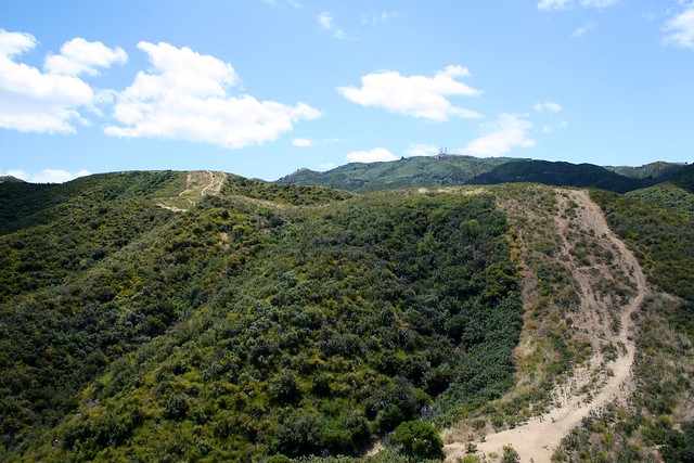

The good thing about doing this loop in this direction is that you get rid of all the incline in this first section. While you may not think that’s necessarily a selling point when you’re cursing each climb up, some of these sections are fairly steep – and it’s much easier to climb up them than it is to try to come down them without sliding or falling.
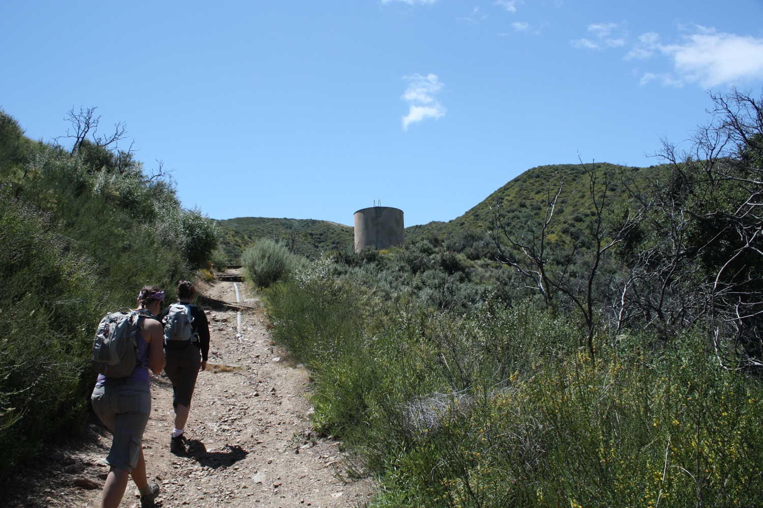
Soon, you’ll be able to see the radio towers to your south – which is a visual sign that you’re almost done with these relentless firebreak inclines. A few more bumps, and the trail narrows to a picturesque single track which … well, also goes over a few more bumps on its way up to Whitney Canyon Road.

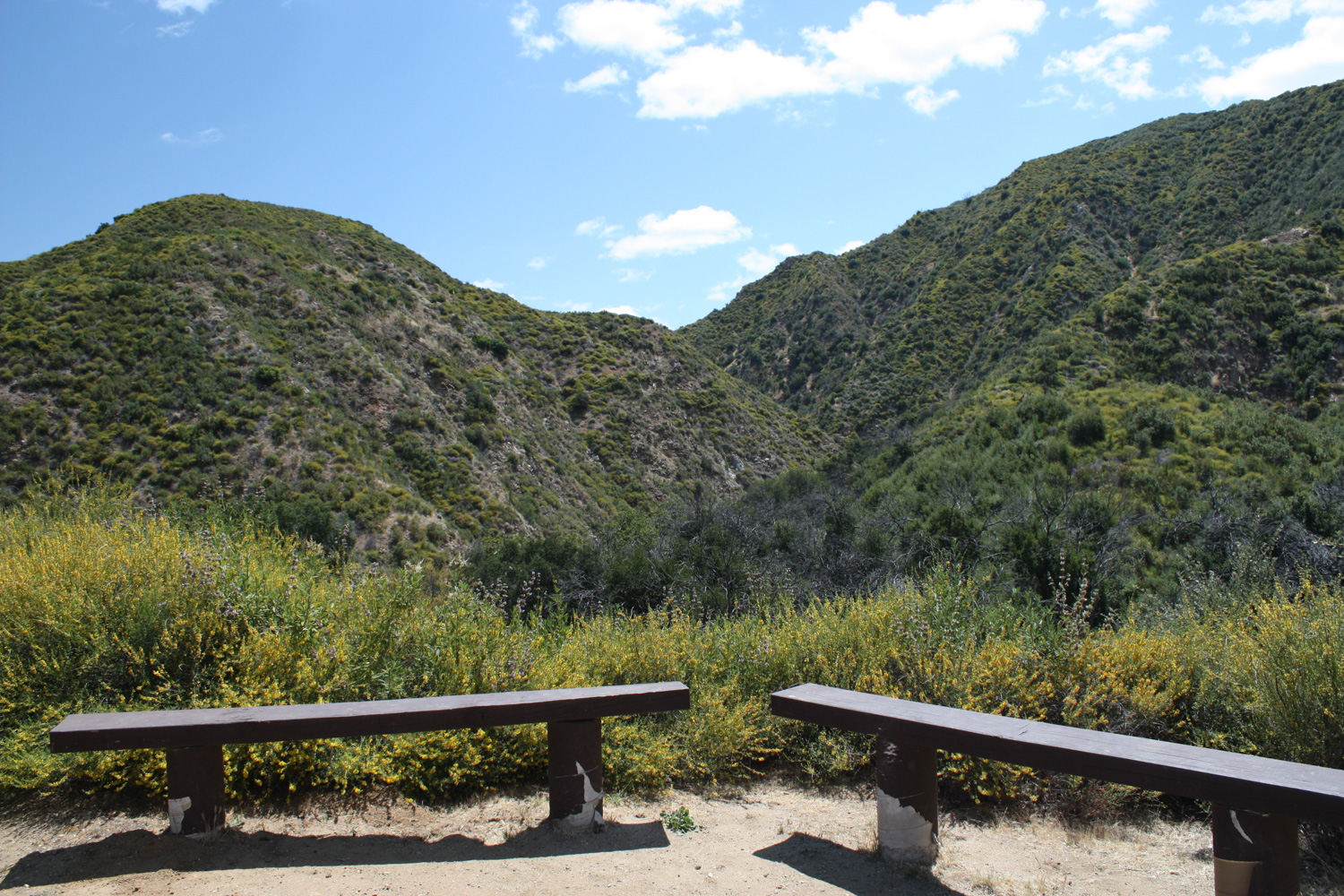
Wilson Saddle has a small picnic area, an equestrian corral, and a well-maintained outhouse. Take a break here if you’d like, and when you’re ready look for the sign for the Los Pinetos Trail on the north side of the road. And get ready for a drastic change in trail conditions.
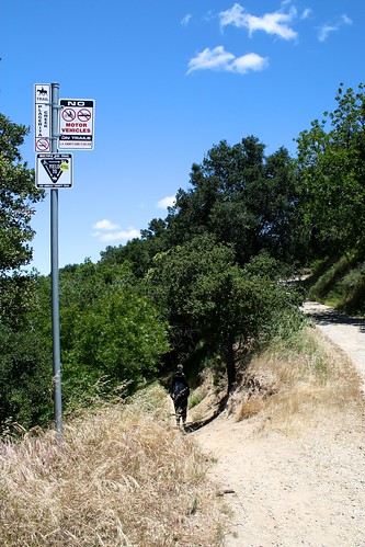
When I went, all three hikers commented at how unbelievably different this section of the trail was from the previous firebreak. Not only is it single track, but it’s well graded, cooler, and surrounded by green on all sides. In many ways, it really does feel like you’ve been plucked off the fire road and dropped off on another trail miles away.
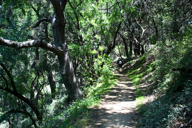
The trail gradually descends through some easy switchbacks and well-graded declines through gorgeous stretches of native oak and chaparral. Every once in a while, the canopy breaks, giving you a great view of the surrounding areas.
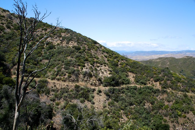
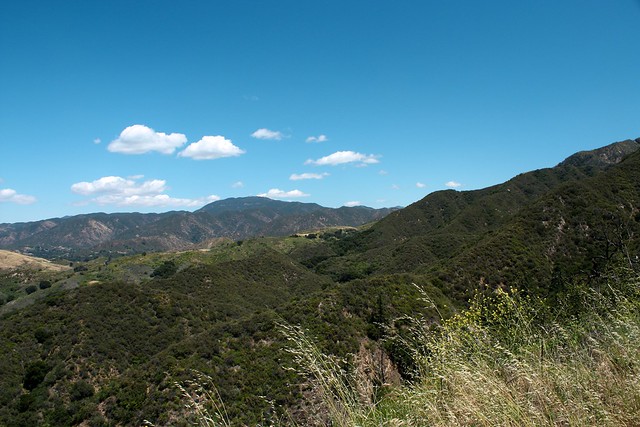
At 5.2 miles, the Los Pinetos Trail meanders through a bit of open grassland before meeting back up with the Canyon Trail just south of Walker Ranch. Here, there are few equestrian hitches and some group campsites. If you want to extend your trip (and if we’ve had a good wet season or it’s early enough in the spring) take a right at the junction to hop on the Waterfall Trail – a 1.5 mile roundtrip addition that will climb back up toward the mountains for a view of a small but picturesque waterfall. Otherwise, stay left at the junction and head west on the Canyon Trail.

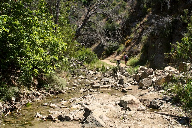
This section of trail is partly shaded, but incredibly easy to hike – especially given the firebreaks you started out on. Enjoy the scenery and the occasional creek-hops, particularly when the canyon walls start to close in on you, which really makes you feel like you’re out in the wilderness.
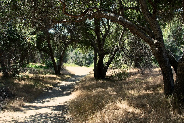
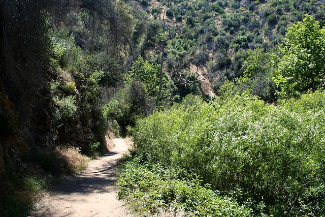
The trail ends up right back at the visitor center – so you can explore indoors or just head to your car and call it a day. Either way, a great experience outside!
If you have time, consider exploring the short nature and interpretive trails near the Visitor Center before you head out. The historic Walker Cabin remains from the region’s former ranch days, and just to its west lies a large and historically important oak tree.
It was here that Mexican mineralogist Francisco Lopez napped and dreamt of floating on a pool of gold in 1842 on his 40th birthday. When he awoke, he pulled some wild onions from the ground, noticed gold flakes in the roots, and launched the first gold rush in California history — six years before that better-known one at Sutter’s Mill in the Sierra Nevada.
Unlike the ’49 strike, news of the strike in Placerita Canyon was kept mostly within the borders of Mexico — probably because no loudmouthed newspapermen were screaming “Gold! Gold! Gold from Placerita Canyon!” on the streets of the largest city like they did in San Francisco.
Thousands of Mexican settlers moved to the area to work the mines, but during the Mexican-American War the rancho’s owners dismantled the operation to prevent the Americans from cashing in. The oak tree still stands, though – and is now known as the Oak of the Golden Dream – California Historic Landmark number 168.
Tags: Angeles National Forest, firebreak trail, Hiking, history, l.a., Los Angeles, oak of the golden dream, placerita canyon, placerita canyon natural area, santa clarita, trail write-up, Waterfall, workout


