A trek on the Pacific Crest Trail to the most western 7000-foot peak in the San Gabriel Mountains and one of the most prominent peaks in the entire range. This route requires a little bit of snow-hiking (in the winter), some bouldering, and good backcountry navigation skills – especially since the Station Fire ravaged much of the region.
NOTE: This area was badly burned in the 2009 Station Fire. The landscape was opened but has been closed again due to proximity to the 2016 Sand Fire. Expect the conditions to be different than those represented here.
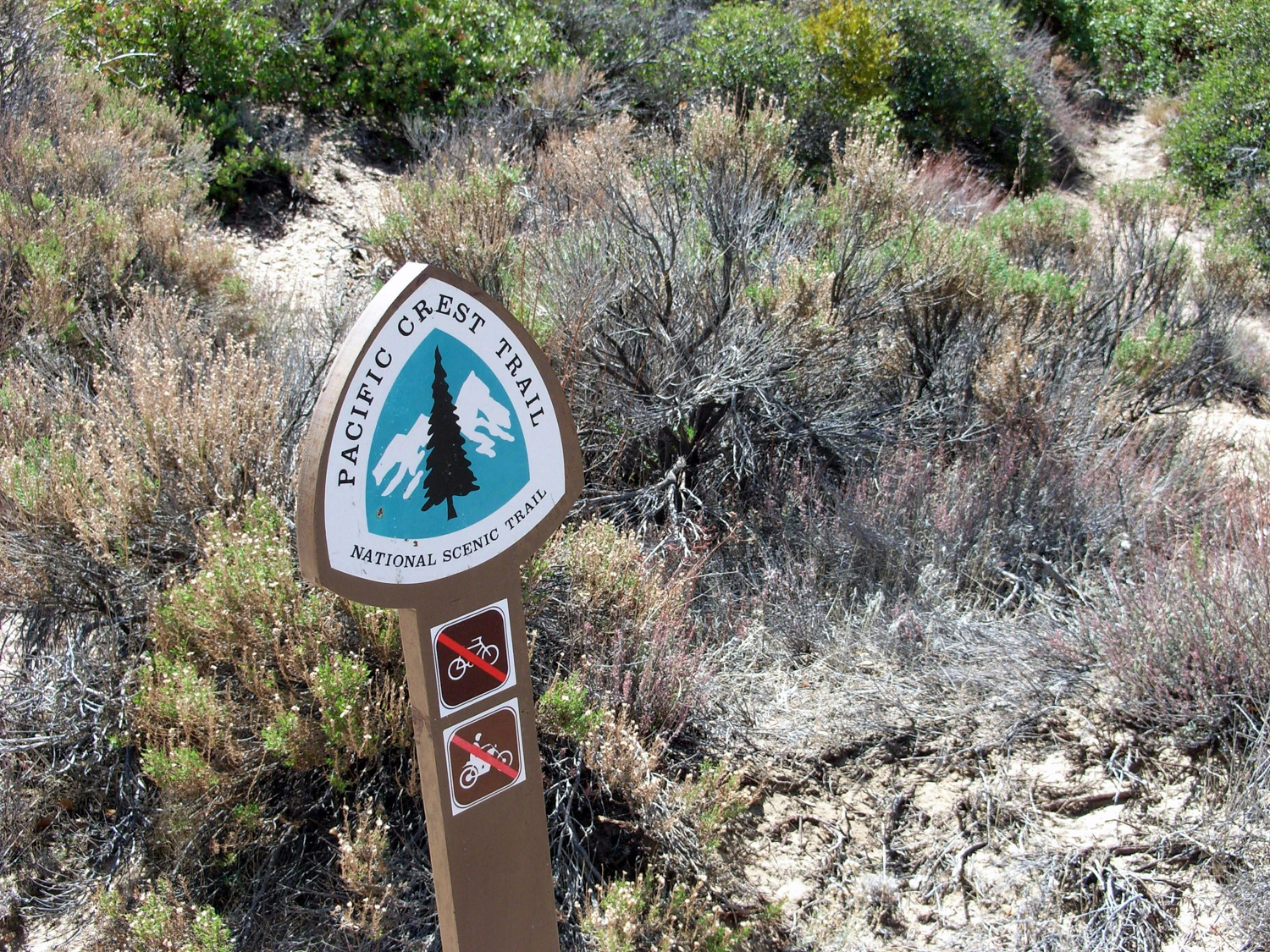
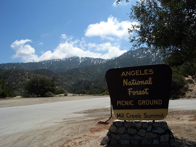
If you’re in the market for a moderately difficult, lengthy trek on the Pacific Crest Trail that avoids some of the crowds of the lower San Gabriels, then Pacifico Mountain on the north side of the Angeles National Forest might be a good stop for you. Head to the Mill Creek Picnic Area, lace up your boots, and head southeast on the PCT.
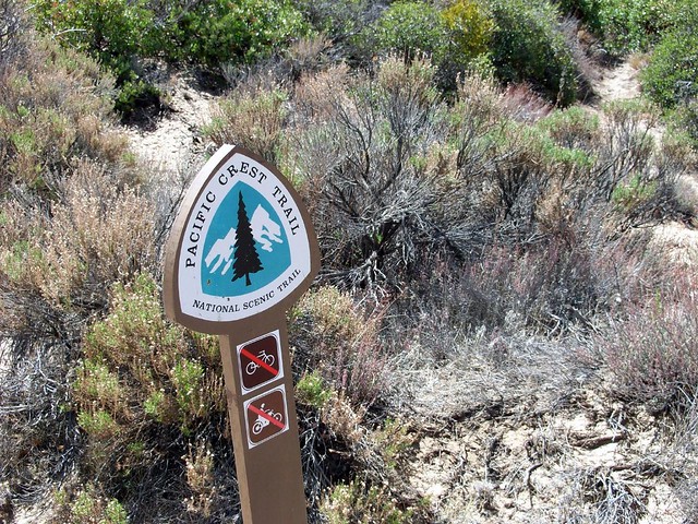
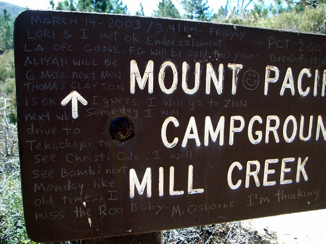
The Pacific Crest Trail runs straight through the picnic area and this was my first time hiking on any portion of it. Last year, I hiked a tiny section of the Appalachian Trail in Connecticut and was lucky enough to meet a thru-hiker on his way north. No such luck on the PCT this time, but I did get to see a note someone had scrawled on a trail sign back in 2003.

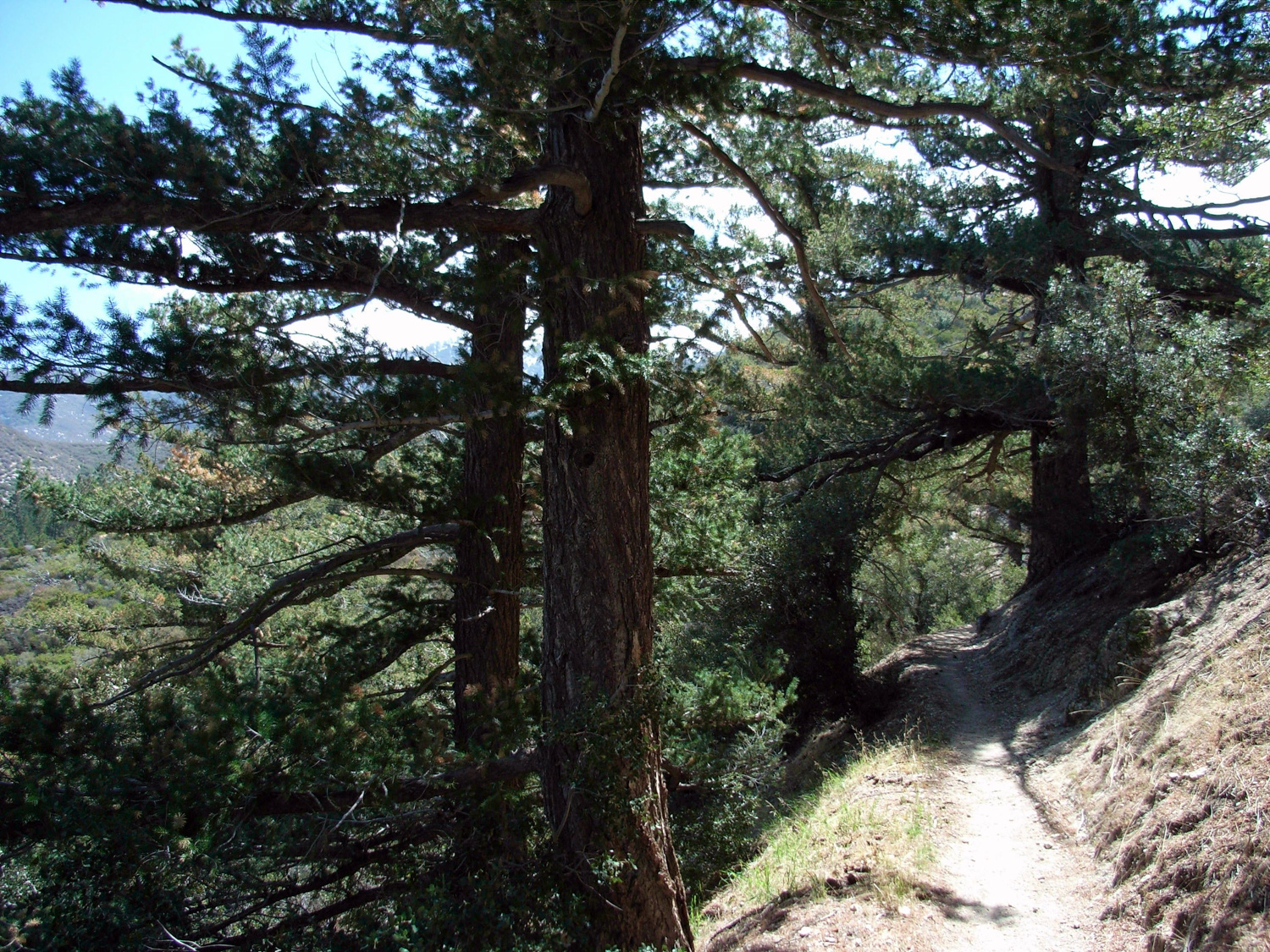
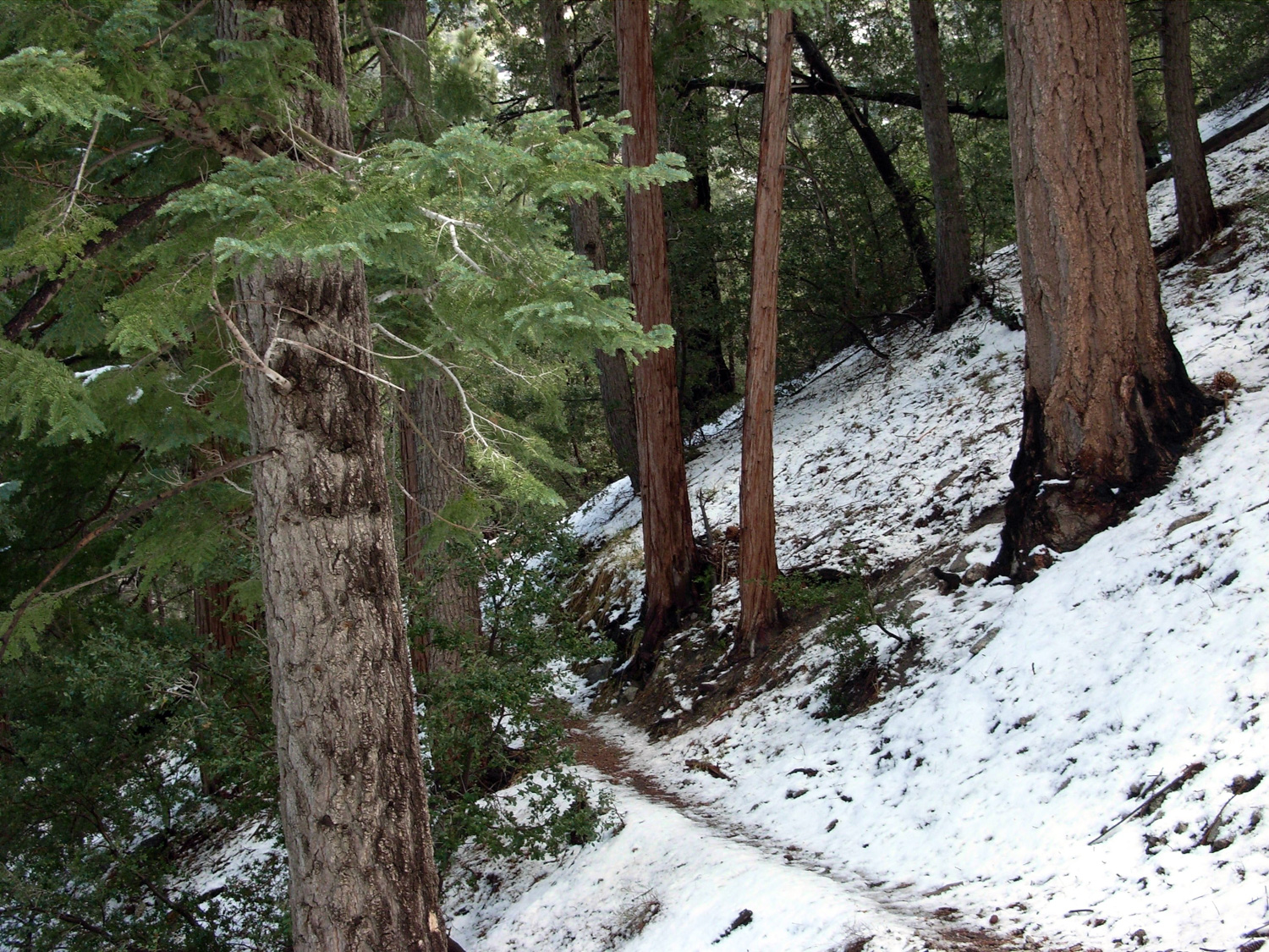
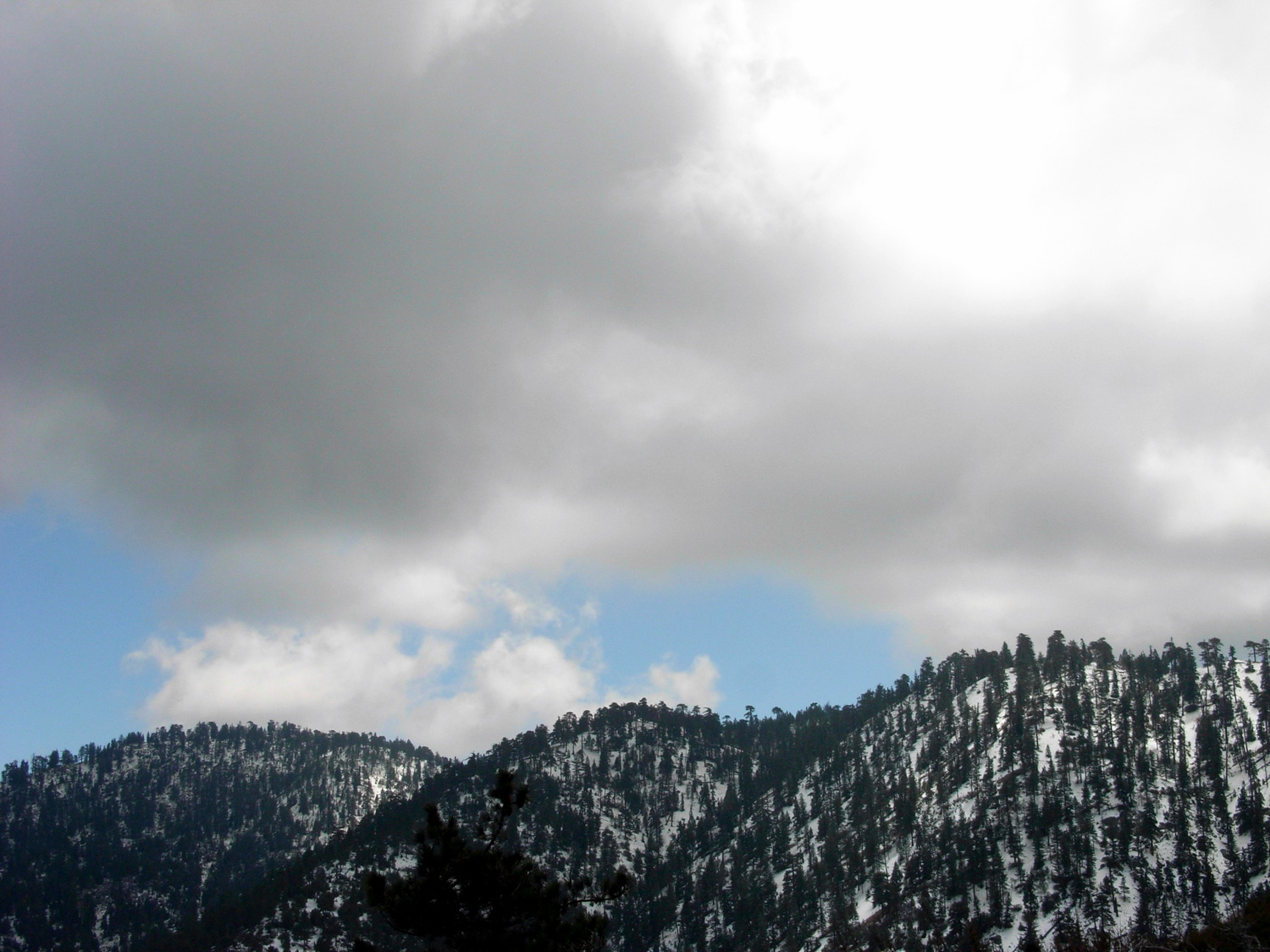
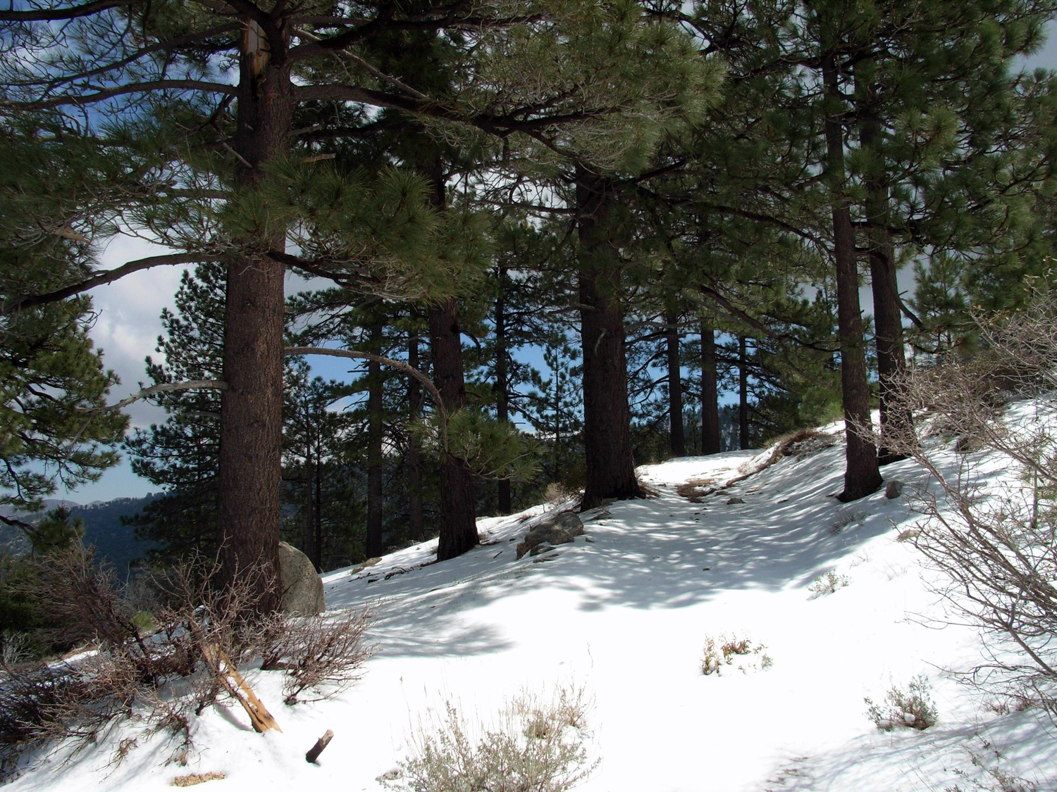
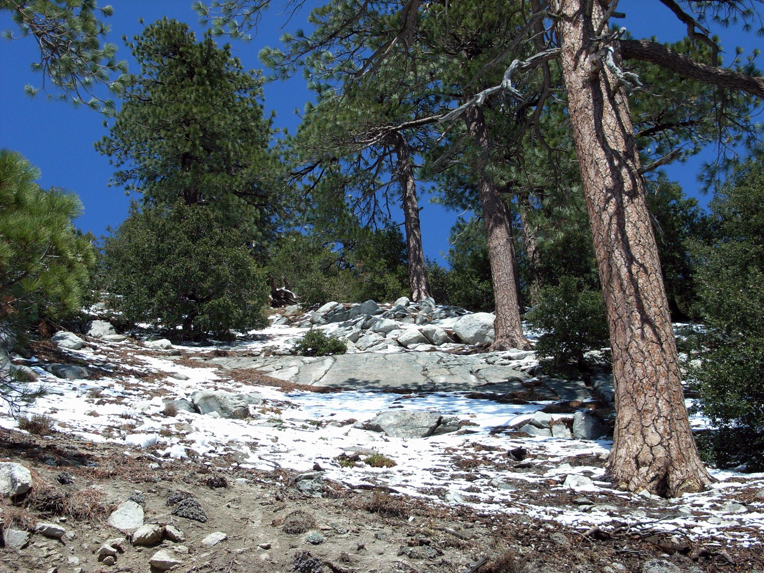
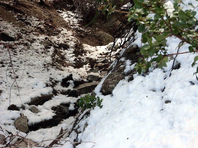
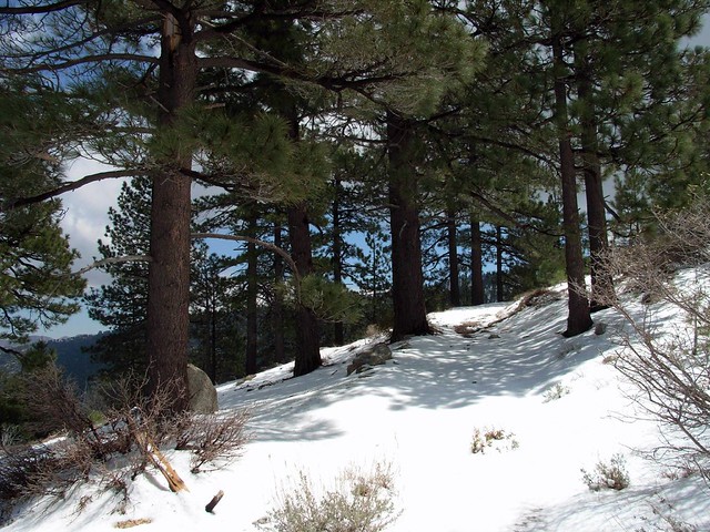
Because this part of the trail is on the north face of the mountain, it’s cooler and gets more shade than the more accessible peaks of the front range. Snow will linger here longer than in other places – and it’s more apt to re-freeze after melting a bit. If you;’re traveling in the winter be sure to take good boots and maybe even some traction devices or trekking poles if we’ve had a good snow season.


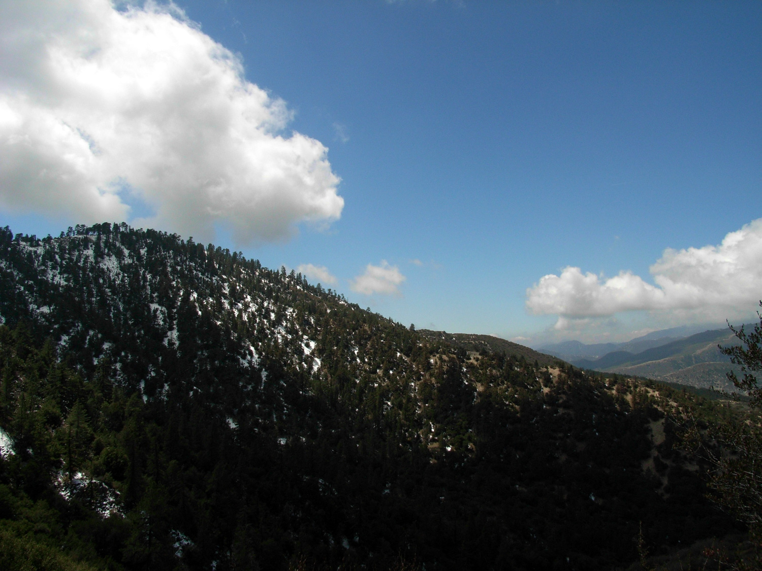
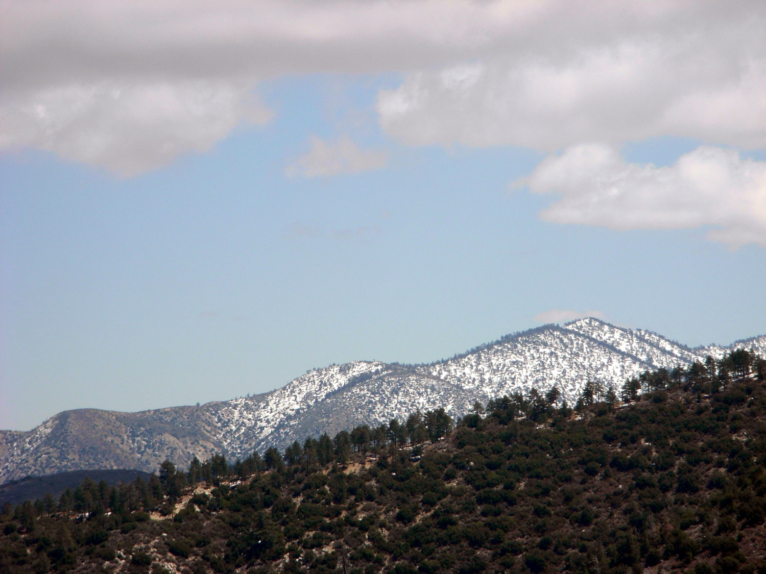
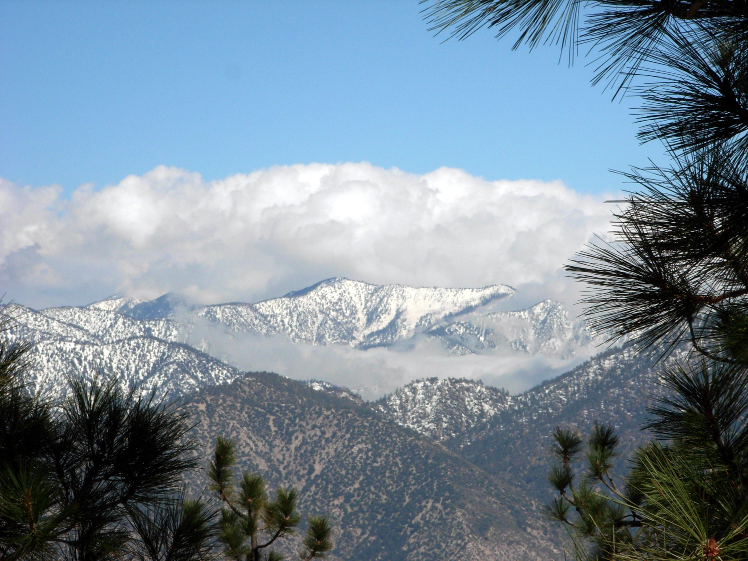
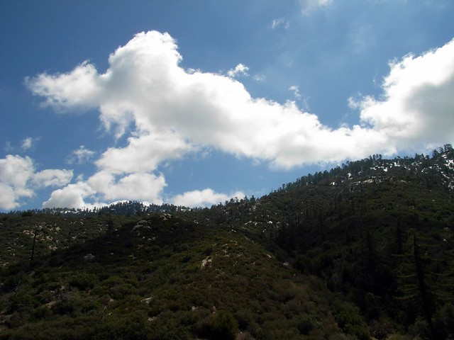
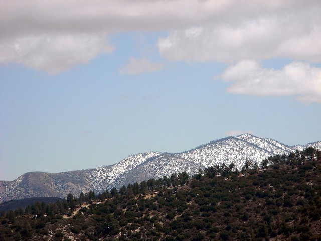
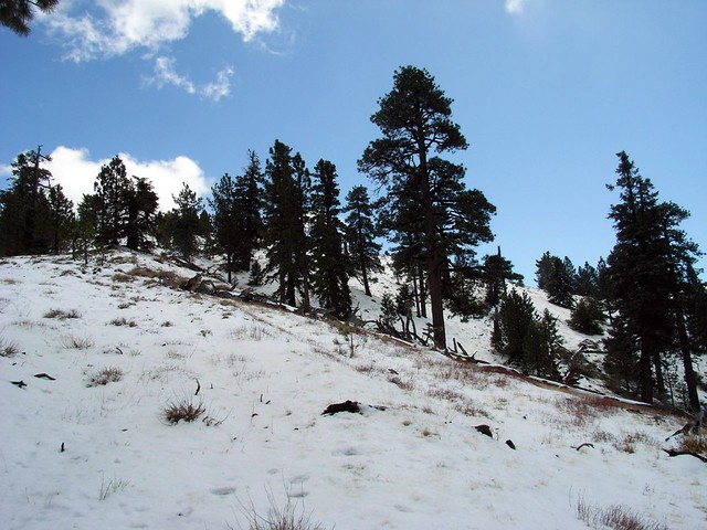
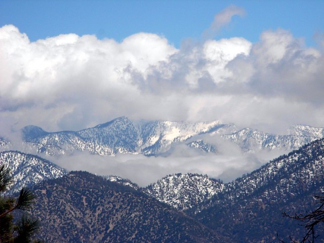
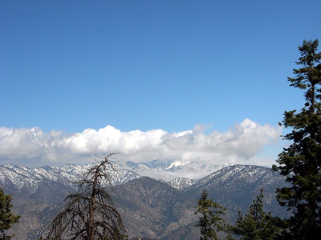
Continue east on the PCT making a very gradual ascent on a pleasant stretch of trail. At the 3.3 mile mark, you’ll come to a small flats area with some tremendous views of the peaks and valleys to your east. From here, the Pleasant View Ridge looked like it got a nice helping of snow…
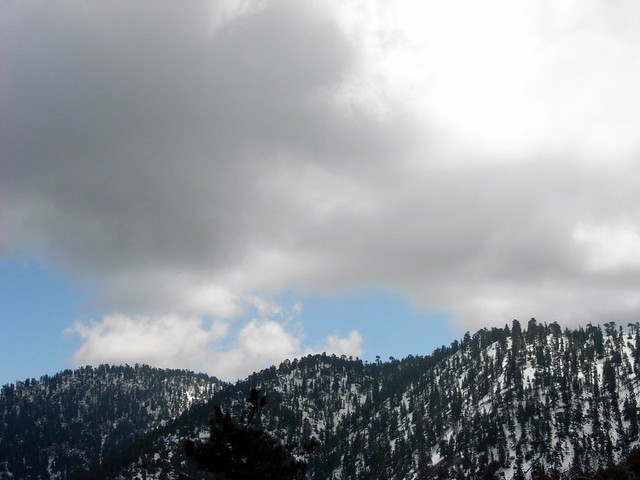
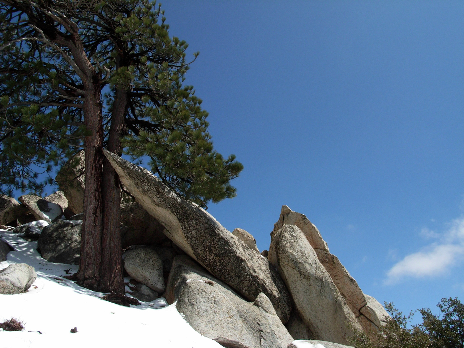
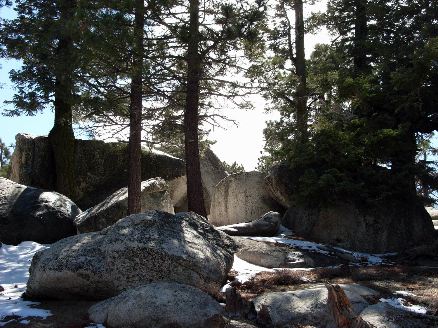
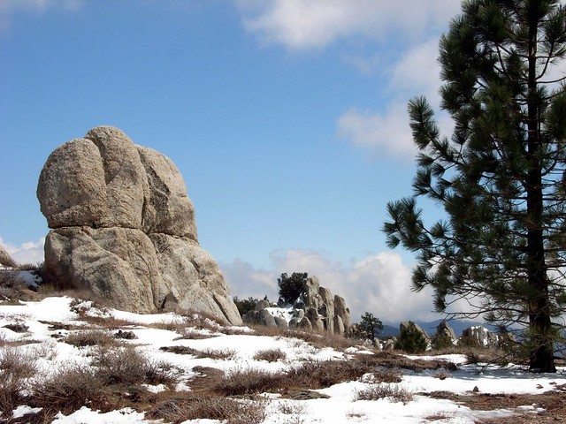
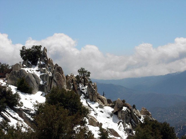
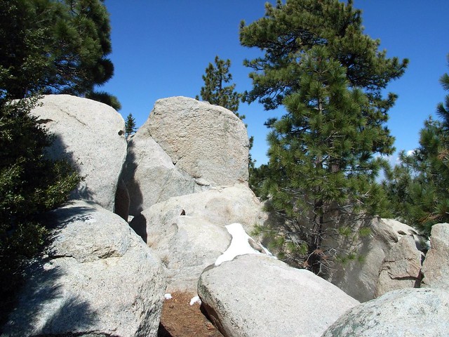
When I got to the top, I was rewarded with a bizarro landscape of jagged boulders peaking out of the snowfall. And as it was off the beaten path, I had it all to myself.
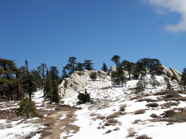
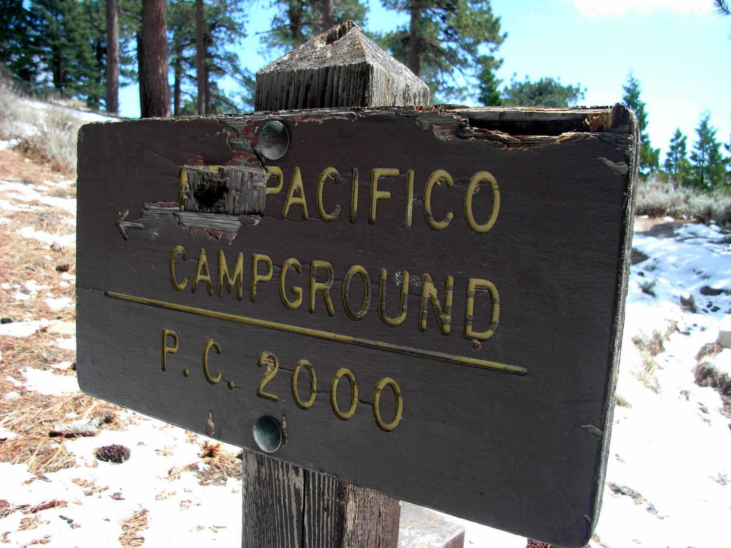
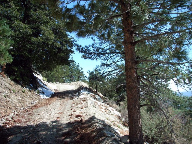
While this would be a really fun little ridge to explore in the summer when scrambling is more of an option, I backtracked to the trail and continued east. At about the 5.8 mile mark, the trail intersects with a 4WD dirt road to Pacifico Mountain. You can also reach the summit of Pacifico via a short spur trail from the PCT farther east – but the road is easy to follow and nicely graded.
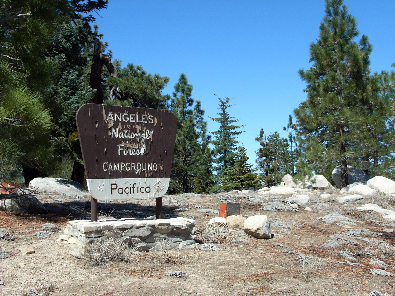
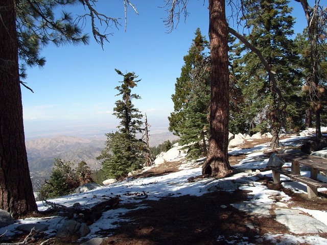
The entrance to the campground was no less dramatic, as the same angled boulders that littered the summit of its neighbor flanked the entire summit and campsite, broken up with the occasional hardy pine.

At the 9.9 mile mark, there’s a junction with another fire road that heads south toward Granite and Roundtop Mountains. Bagging those peaks will add 6 miles roundtrip, so odds are you’ll probably just skip it and keep heading back to the trailhead.
It’s an uneventful and mostly uninteresting trek back down to the trailhead on this fire road. At the 11.5 mile mark there’s a use-trail that cuts through some of the very long switchbacks the road has to take. It’s steep and rugged, but a lot more fun than just walking along the road.
Tags: Angeles National Forest, Hiking, Los Angeles, Pacific Crest Trail, Pacifico Mountain, PCT, station fire, Trail Write-Ups