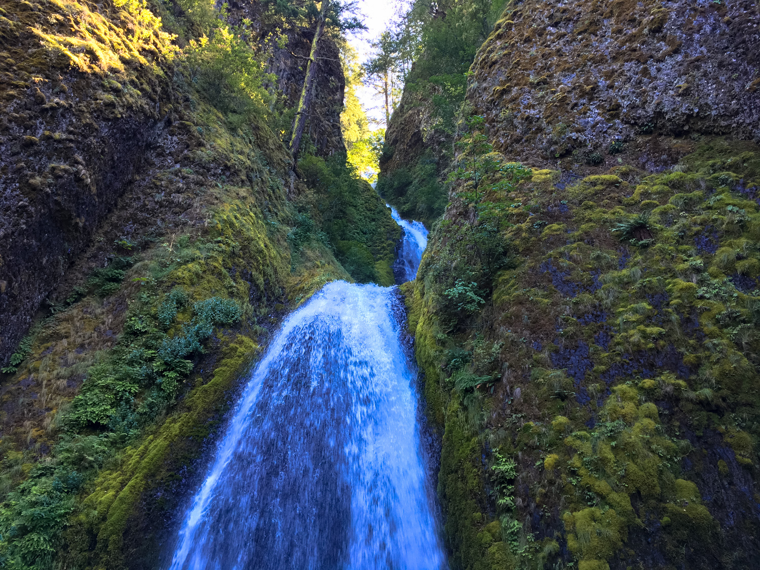
For years, Northwestern hikers were aware of Oneonta Gorge. They enjoyed it, the stories go, but nobody was crazy about it — certainly not worth dealing with a crowded trailhead or dozens of other hikers on the route, especially when there were so many other phenomenal hiking options so close by. But then, as is often the case, social media happened and images of the impossibly beautiful canyon, covered in emerald moss and capped with a two-tiered waterfall flooded the web. Each idyllic photo inspired more hikers to snap their own shots (the #oneontagorge tag on Instagram is reliably refreshed with new entries), and now in the summer high season it’s not uncommon to find all of the few parking spaces along the Historic Highway completely packed.
And it’s not without reason — the scenery in Oneonta Gorge is amazing, especially for people who don’t live in the region. It’s also a quick and relatively easy hike to do, although there are a few challenges that hikers should definitely be aware of as they lace up their water shoes for the adventure.
The hike begins on the south side of the Historic Highway, just west of the narrow bridge that crosses Oneonta Creek. Look for the even older highway route through the narrow tunnel and descend a short concrete staircase from the road to the banks of the creek. It’s right near the brown “Oneonta Gorge” sign, so it’s tough to miss.


The stairs put you directly next to Oneonta Creek, at which point you basically turn right and walk.
There are some rough use trails through the trees and bushes that grow on the banks of the creek, or you can just cut to the chase and step right into the water. You’re not getting out of this hike dry anyway, so if you’ve got a good pair of water shoes you might as well just rush in, right?

The trail’s first major obstacle occurs just after you enter the water – a large, almost fortress-like logjam blocking the entire canyon forward. And if you have the misfortune of visiting the Gorge on a warm, sunny day in the summer — especially on a weekend — you’re also likely to meet a line.

So here’s the deal with the logjam line: there is not one way over this thing. In fact, depending on your comfort with slippery scrambles, you could probably find a dozen or so ways around this obstacle – but we humans do so enjoy the illusion of order, so if there’s a large group trying to get to the end of the gorge, they’re likely to queue up in single file and march very slowly across the log and boulder piles here.

Even if scenes like this frustrate you – don’t worry. First of all, these logs and boulders are very slippery and trying to rush over them will probably greatly increase your chances of getting hurt. I’m sure you’re very, very good at outdoors, but please don’t try to run over these logs to prove it – instead, try to find an alternate route over the logjam or just be patient and wait.
And if you’re anti-crowd on the trail, in some ways this human logjam on top of the actual logjam is a blessing in disguise. Once you get past the obstacle, you’ll find that the logjam acts as a sort of natural turnstile for the rest of the gorge, which might otherwise be totally overcrowded for the entire route.

the logjam from the backside
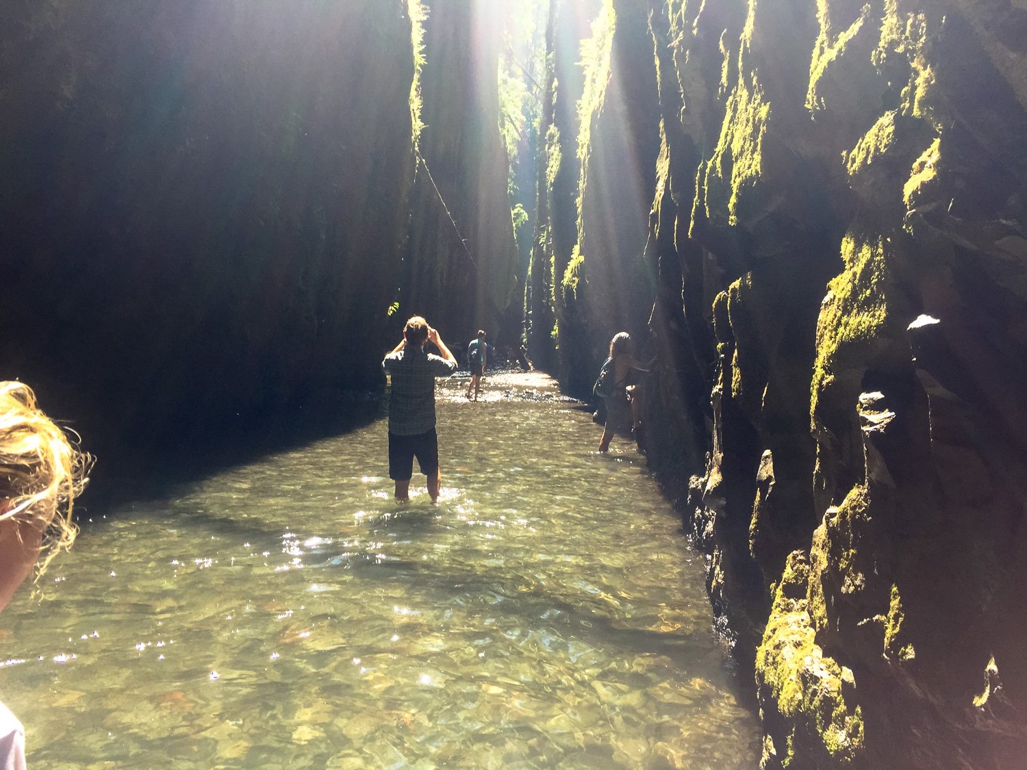
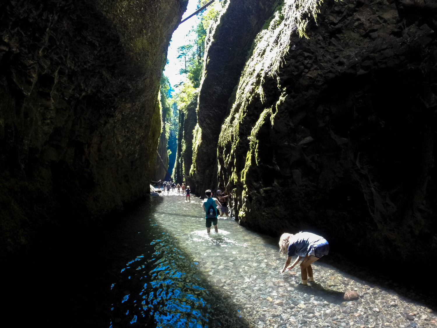
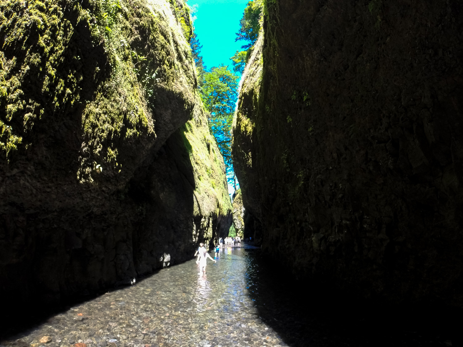
Beyond this, the crowds in Oneonta Gorge thin a bit and you can really start to soak in just how beautiful this gorge is. Towering, well-worn cliffs hem you in on both sides – the rock covered in a layer of dripping moss and the occasional tree clinging to the near-vertical face. The water at your feet is cool and clear, and your toes may be visited by some of the fish and frogs that live here. Moving forward, the verdant canopy of the forest overhead is pierced by a narrow shaft of sunlight beaming down the canyon.
All in all, it’s a lot to take in. You’ll be hard-pressed to enjoy this hike without a big ol’ grin on your face for the entire route.


There are two sections where the canyon narrows a bit and you’ll have to wade through some deeper water. The first is a short stretch that may get up to your thighs, while the second can easily reach your chest or higher. I’m 6 feet tall and you can see how high the water was in the deepest section on my shirt below:

Ambitious and especially hydrophobic hikers may attempt to hug the rock wall to avoid some of these deep sections, but in my opinion it’s easier, safer, and more fun to just plow your way through the cool creek. If it’s a hot day out, you’ll appreciate the temperature drop, too.
Just after this deep section, you’ll reach the end of the navigable section of the lower gorge at Lower Oneonta Falls. Get ready to wait for a good selfie at the falls – and don’t forget to actually enjoy the landscape without experiencing it through a viewfinder. Return back the way you came in, and if you want more trail time be sure to check out a longer route above the gorge to Triple Falls.

If you are visiting this areas during the warm months (May-September), you will not be able to park at the trailhead without a free permit available here for the waterfall corridor. Additionally, if you wanted to not have to worry at all about parking, this area of the Columbia River Gorge is served by the Columbia Gorge Express, which connects with the Gateway Transit Center in Portland (connections via MAX and TriMet bus). The Columbia Gorge Express also makes stops in Hood River, Troutdale, and Cascade Locks.
Additional photos in this post by Brian Shanahan and Brooke Schreiner.
Tags: Columbia River Gorge, Lower Oneonta Falls, Oneonta Gorge, oregon, Portland


