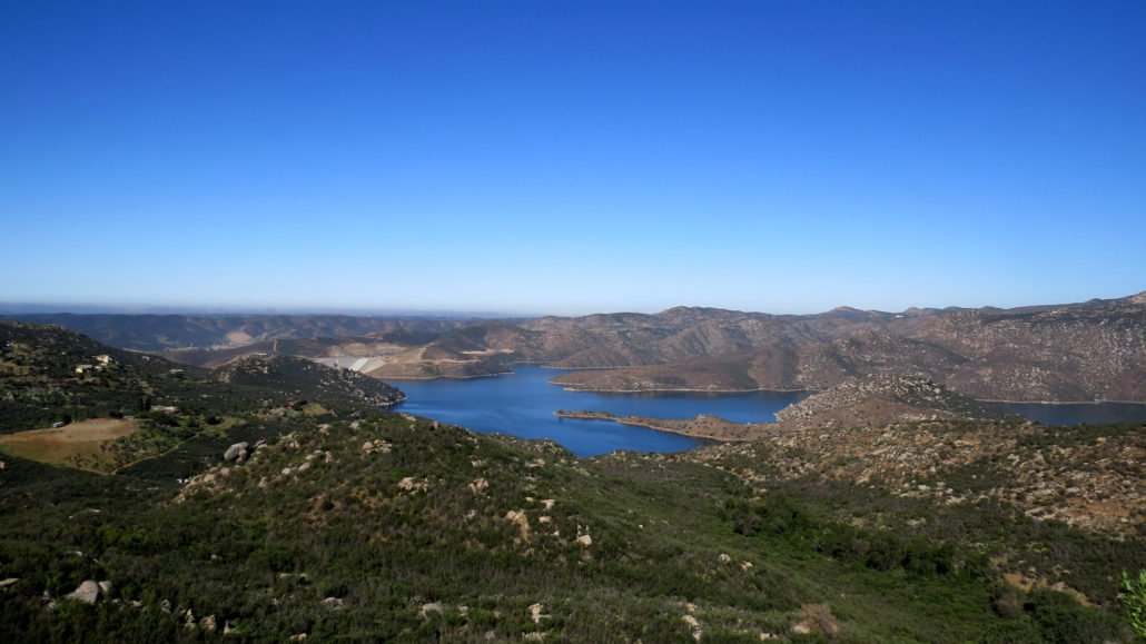
The County of San Diego’s Oakoasis Open Space Preserve protects a lush “oasis” of coast live oaks along with meadows, chaparral, and good views west over the San Vicente Reservoir. The preserve lies, in the shadow of its more challenging and popular big brother to the east, El Capitan Open Space Preserve, directly across Wildcat Canyon Road from Oakoasis’s entrance.
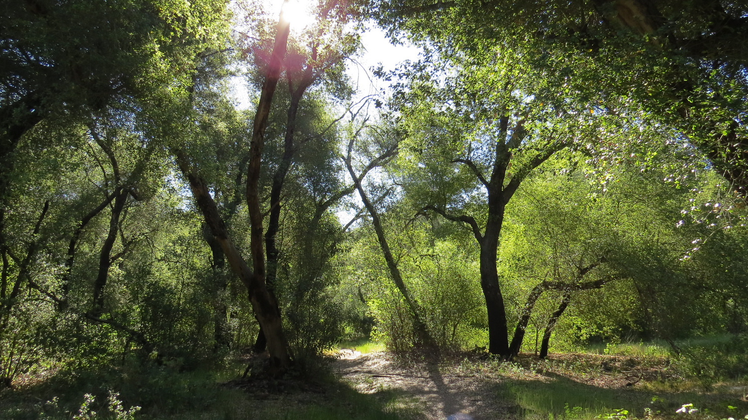
Live oaks at the oakoasis
You won’t get the gruesome cardiovascular and muscular torture you get from El Cap by hiking at Oakoasis. This preserve is much smaller, and the loop hike described here is anything but taxing. But for those who aren’t looking for conquest of “San Diego’s Hardest Hike,” Oakoasis offers sublime tranquility beneath the shade of its lush oak grove, as well as a few botanical highlights well worth your while.

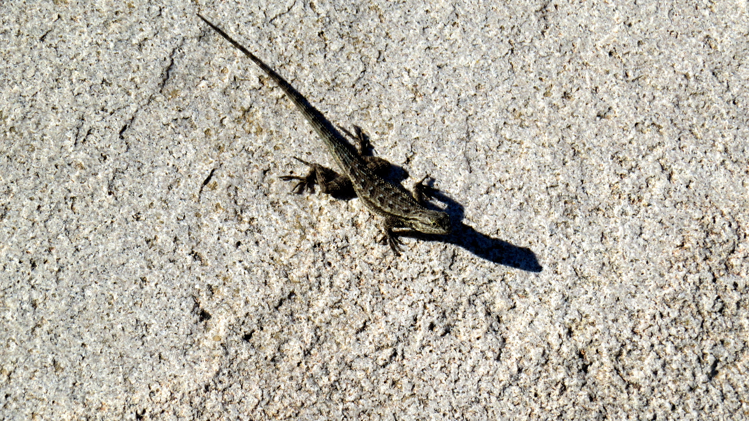
Fence post lizard on granite
Without a doubt, spring is the best time to visit Oakoasis. Lakeside can get pretty hot during the summer and early fall, but even hikers getting an early start or a pre-sunset start can enjoy the trail during the summer. The preserve’s gates open and close at sunrise and sunset, respectively. There are no fees, and dogs are welcome. This is also a fine hike for children.

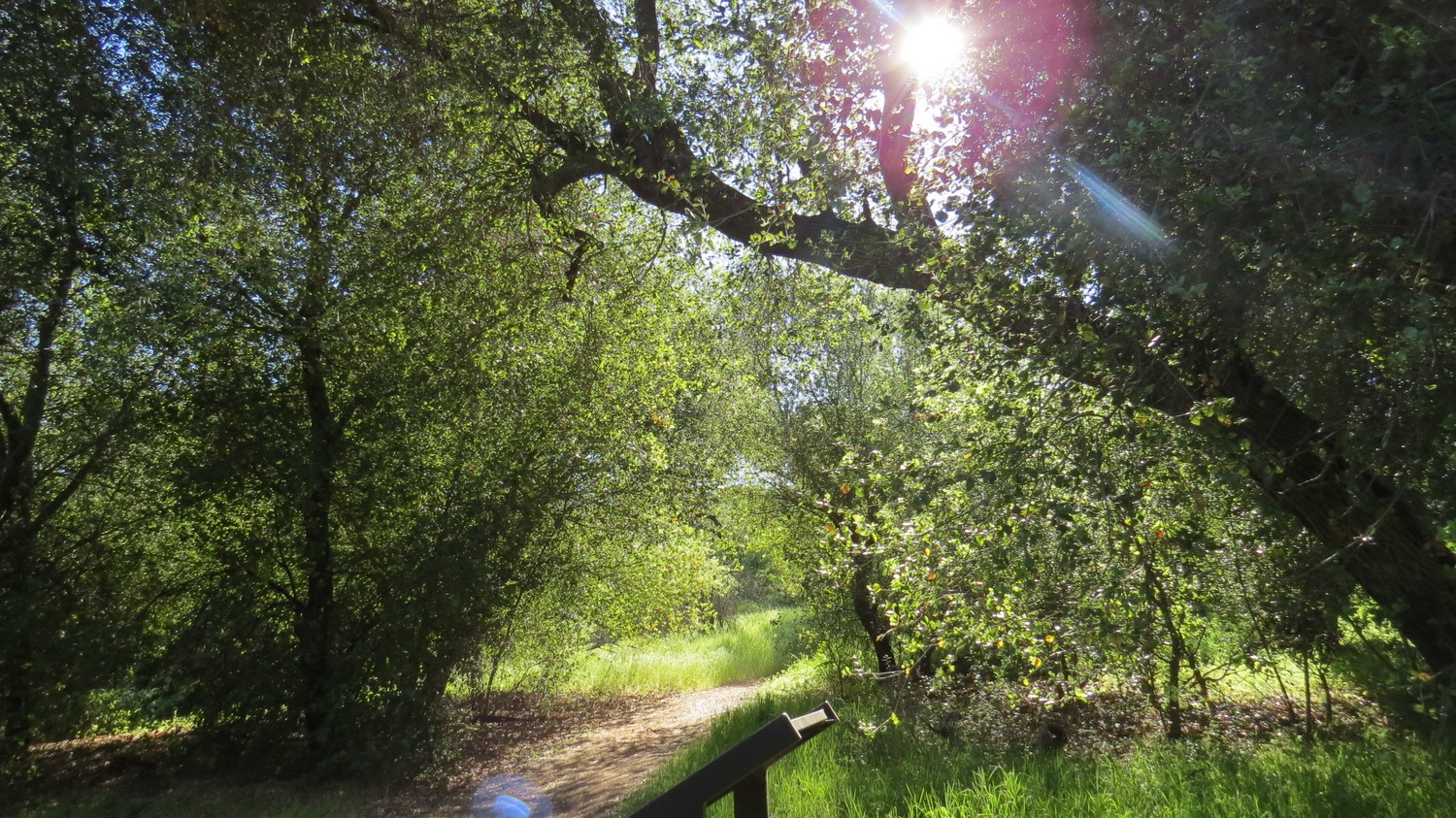
Starting from the trailhead on the north side of the parking lot, follow the single-track trail downhill for a little over 100 yards until you reach a junction with a wider trail running west to east. This trail doubles as a segment of the Trans-County Trail, which in the future will run from Torrey Pines State Reserve across the county to the Salton Sea. Much of the Trans-County Trail is already in place, but the sections through Lakeside tend to be discontinuous. Turn left at this junction to head west.
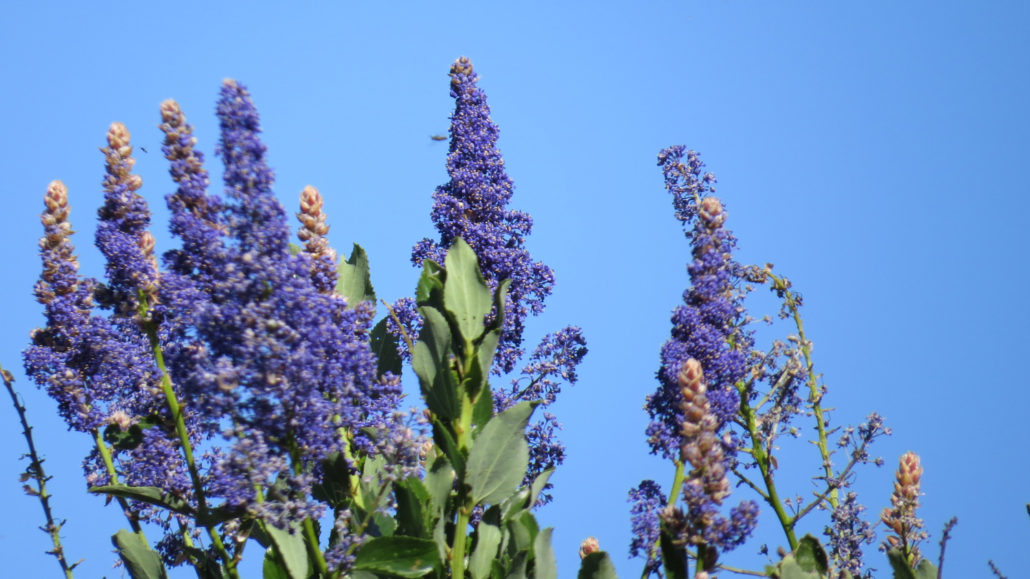
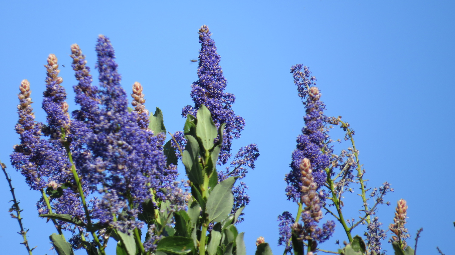
Lakeside Lilac (ceanothus)
From the junction, you’ll travel .3 mile west through chaparral that is recovering vigorously from the 2003 Cedar Fire. Part of the reason why spring is such a fine time for visiting Oakoasis is that the chaparral puts on its own distinctive bloom. One of the more beautiful chaparral plant species – Lakeside lilac – grows here, and its rich blue blooms along with those of more common lilacs, grace the hillsides with splashes of color and a rich, honeyed scent.

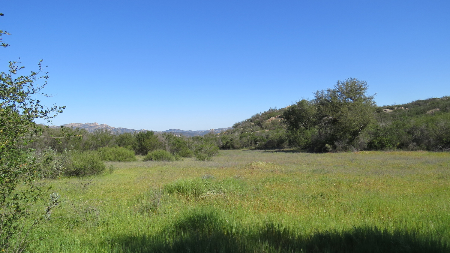
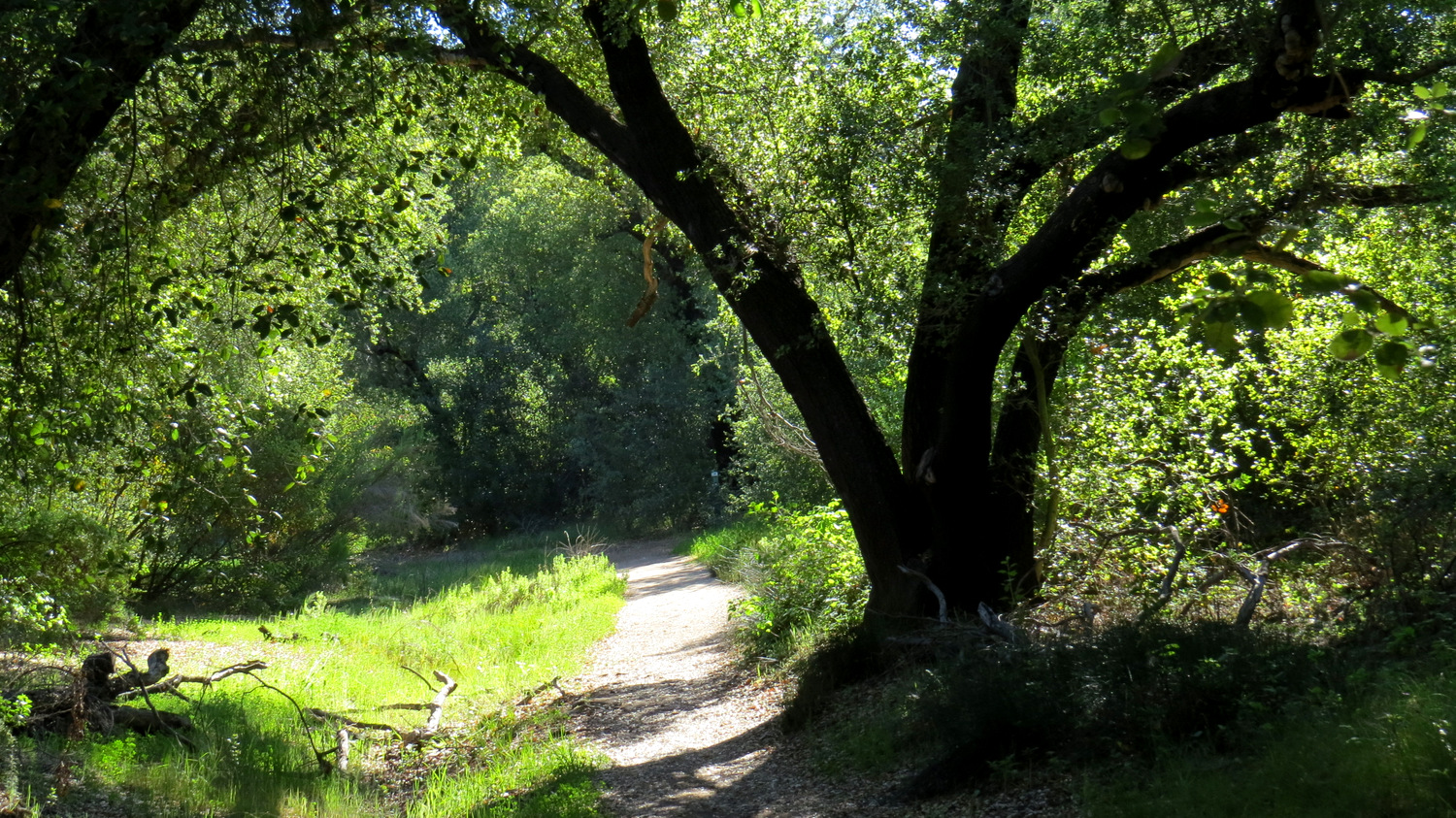
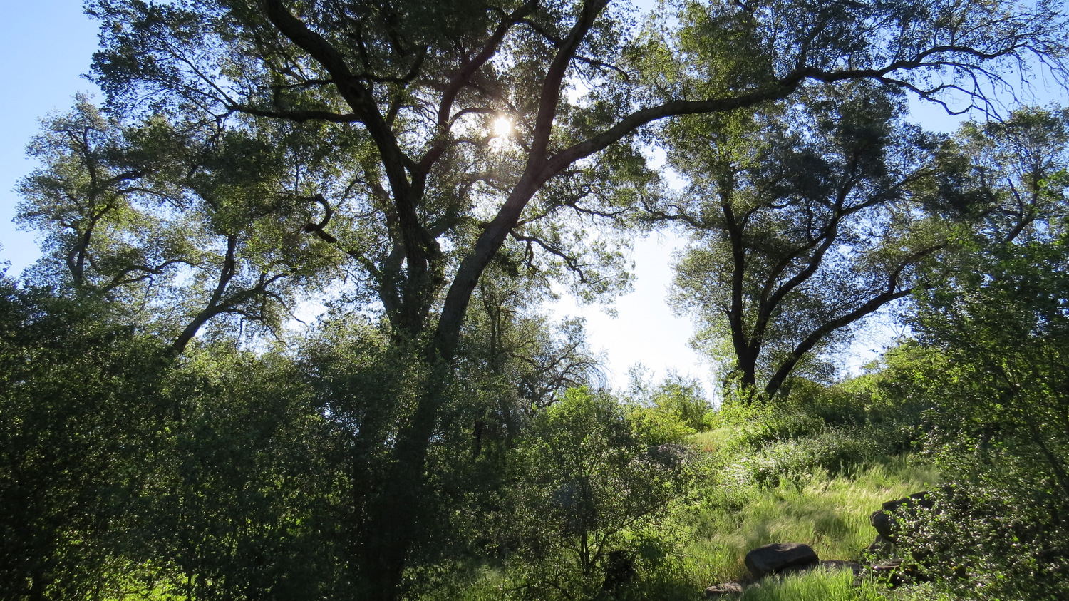
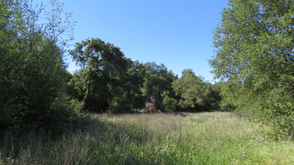
After a short, steep descent, the trail will deposit you at the bottom of a shallow draw supporting a dense forest of coast live oaks. This is the eponymous oak oasis. Like a palm oasis, the oaks cluster in this draw because of the availability of subsurface water. I’m taking a guess at the actual geology, but I suspect that a fairly well-stocked water table of sorts lies beneath the grove, storing up water that would otherwise continue flowing into San Vicente Reservoir a few miles downstream.

Many of the oaks here show signs of being badly singed from the 2003 Cedar Fire, but few of them actually died in the blaze. The thick bark of oak trees and their ability to re-sprout their leaves and from their bases following a fire demonstrates the oak’s ability not just to survive fire but to thrive from it. Today, most of the oaks display years of new growth with the only signs of the blaze being their blackened trunks.
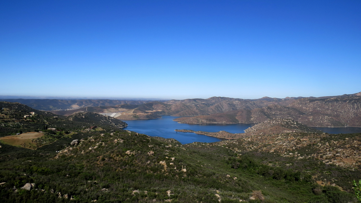
The trail continues on a gentle downhill slope through the grove for another .3 of a mile to another junction with a trail leading north away from the draw. Just before this junction, you’ll spot the remains of an old cabin and some rusted equipment in a small meadow on the right. Turn right at the junction to begin an up-and-down stroll out of the oaks and back into the chaparral toward an overlook surveying the San Vicente Reservoir. After .4 mile of walking, you’ll find the unsigned social trail leading away on the left. Following it to find the overlook for the reservoir.
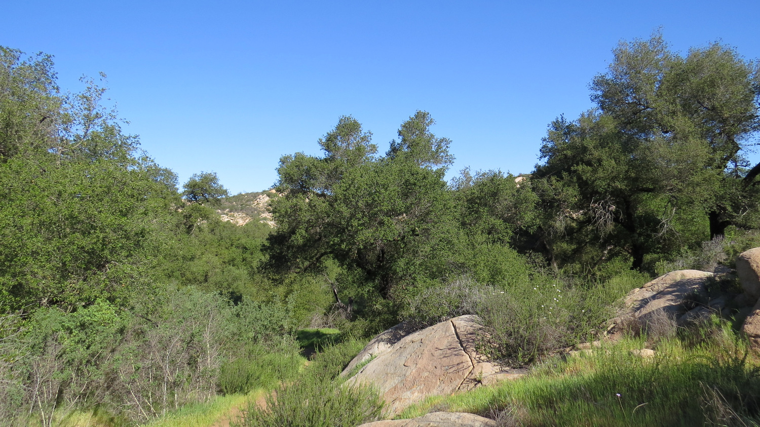
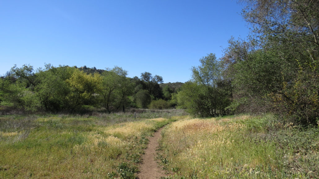
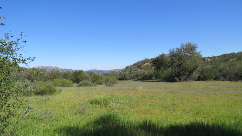
From the overlook, the trail will begin its longest uninterrupted stretch as it follows a gentle, 1.1 mile arc along the northern boundary of the preserve. At first, you’ll pass through chaparral punctuating by the bare granitic bones of the landscape. After about 400 yards or so, you’ll drop into an open, sunny meadow with a sign indicating the “Halfway Point.”
Beyond the meadow, the trail will bend to the right to begin traveling southeast back to the start. After passing through more chaparral, the trail drop into another oak-lined, crescent shaped meadow as it continues to bend back toward the oak oasis. At 2.1 miles total, you’ll reach the junction with the Trans-County Trail. Turn left and follow it back to your vehicle.
Tags: coast live oaks, Lakeside, lakeside lilac, oakoasis, open space, San Diego County, Trans-county trail