A strenuous ascent up the south face of Mount Lukens – the highest point of elevation within Los Angeles City Limits. This particular route travels a secluded and steep, but rarely traveled and slightly overgrown canyon to the summit. A good leg-burner, but the bushwhacking and ticks may not be worth the trouble. There is, however, a shortcut trail that leads to a fire road, which is one of the nicest stretches of single-track trail I’ve seen in the San Gabriels.
NOTE: This area was badly burned in the 2009 Station Fire. The trail is open and has had some restorative work done, but your hiking experience may differ from this. Hikers who have attempted the trail since its reopening have reported dense, overgrown shrubs, trails in need of maintenance, and lots and lots of ticks. Consider yourself warned.
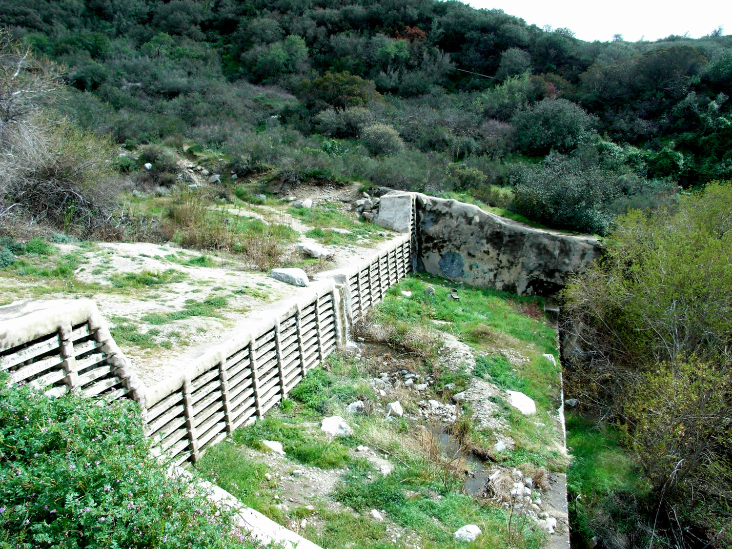
The trailhead is at the end of the aptly-named Haines Canyon Drive in Tujunga. There is a gate at the end of the road, that will take you next to a debris dam with a very small (and very eroded) dirt lot. If the lot is full or the ground looks too rough for your car, you can park about a quarter-block down on Haines Canyon Ave. Pay attention to signs marking where you can’t park.
Head north on the road, past the open gate and another, locked gate to the dirt road version of Haines Canyon Ave. This road curves east around the small lake behind the dam and continues a gradual ascent past several flood control dams.

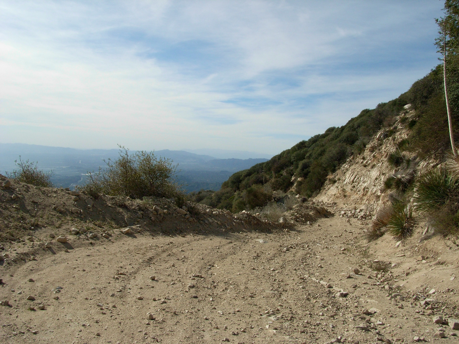
At 1.29 miles, the dirt fire road comes to a T intersection. The road continues south, past a gate, and takes a long and meandering route to the summit of Lukens. The trail to Haines Canyon cuts north, passes a small concrete foundation and water tank, and gradually narrows from a road to a wide path, to a narrow trail.
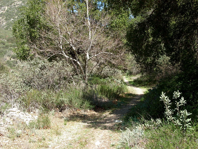
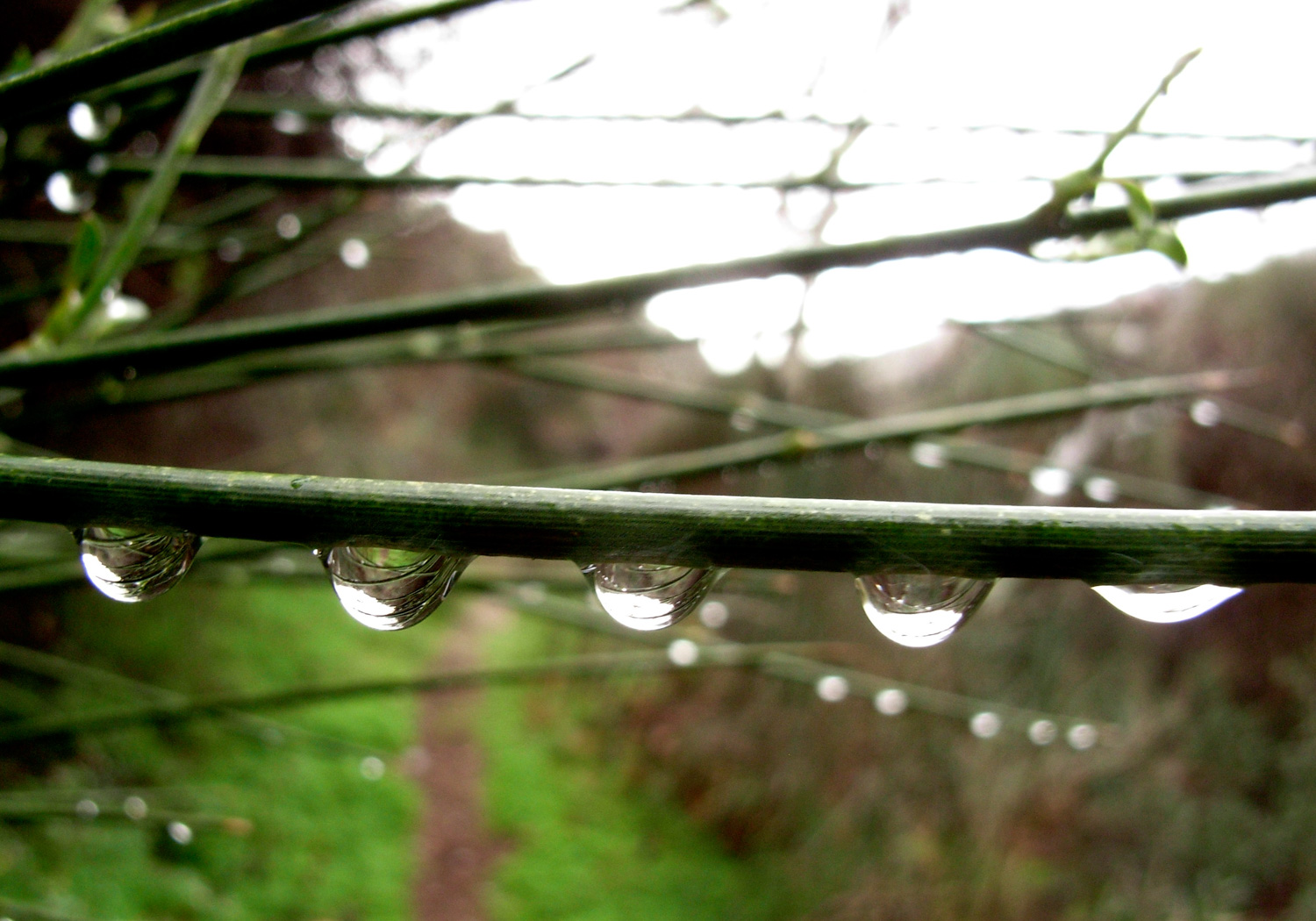
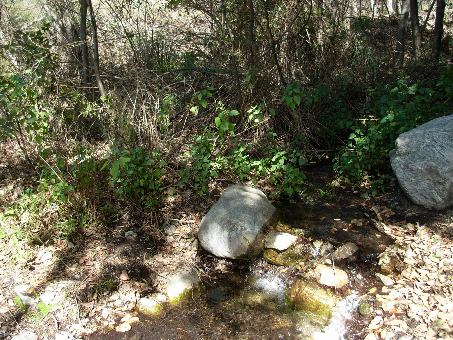
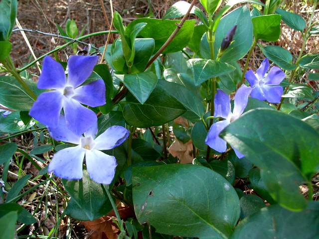
If you’re hiking during the wet season, you may start to hear the distant babbling of a small brook. As you hike, you’ll notice the beige surroundings start to give way to a more lush green as the sound of the water gets louder. The trail hops a sluggish creek, then skirts up the east bank of the canyon through some nice tree cover. When I was there, I was lucky enough to catch a bit of the ivy in bloom. It’s getting to be wildflower season in SoCal …

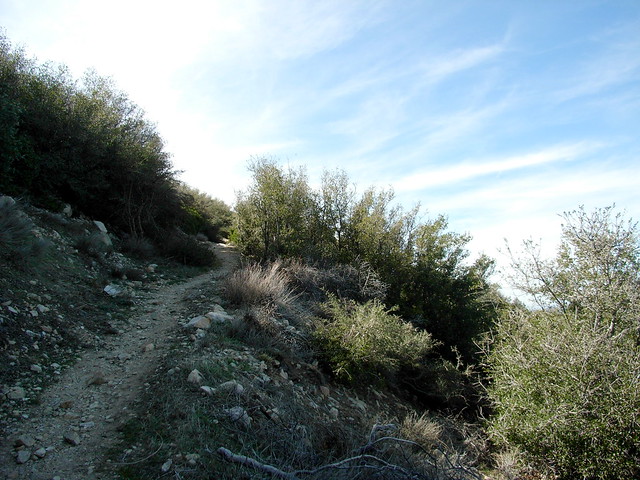
At 1.94 miles, a faded wooden sign marks the junction with the Sister Elsie Trail and a shortcut trail that switchbacks up to the fire road. Veer to the left to hop onto the Sister Elsie trail — and say goodbye to the well-maintained path you’ve been hiking on so far — because now the trail looks like this:
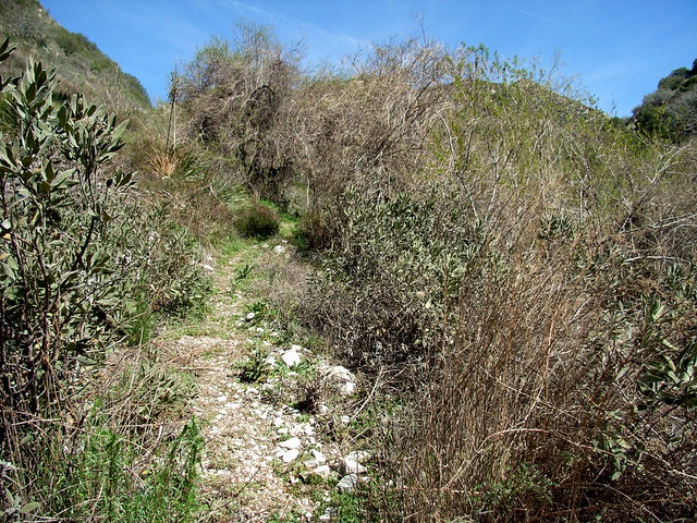
The Sister Elsie trail winds its way through tall brush and grass, often skirting the edge of a very eroded section of the canyon. The ground is loose, and footing can be spotty. You’re not in danger of any big falls or anything, but it’s easy to slide off the trail.
When you do force your way through the overgrowth, you’ll also want to check yourself for ticks. In early March I figured it was too early for ticks to be out, but a quick glance down at my pant leg spotted three of the little beasts. I tucked my pant legs into my socks and my shirt into my pants, but it still didn’t stop them from crawling all over me. At one point, two adventurous specimens tried to crawl into my shoes.
Man, I hate ticks.
Chances are, if you’re taking this route, you’re probably going to be the first big warm-blooded body going through in a while — so check for ticks often.
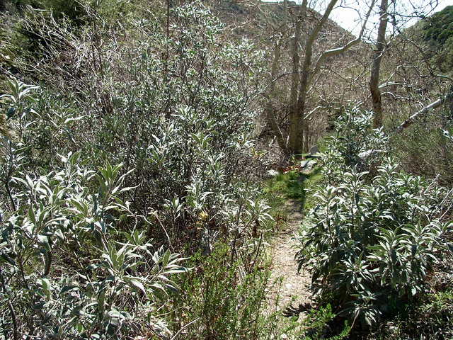
The trail continues through the brush, then hits some trees in the upper reaches of Haines Canyon. This is your long stretch of shade, so enjoy it. You’ll follow several switchbacks up a fairly steep canyon before emerging in an area of chaparral and Spanish Bayonets.
Here, the trail gets into another dicey area — on the one side, you’re going to be dodging those nasty pointed leaves. On the other, you’re facing very loose dirt and a slide down into other pointed leaves. And all this with a 35% grade.
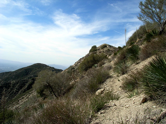
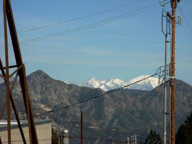
Take solace in knowing this is the last difficult section of the trail — and as soon as you get to the top of the saddle, you’ll have some impressive views of the wide open Big Tujunga Canyon to the north.
At 2.86 miles, you’ll meet up with the Stone Canyon Trail – a much better maintained route that crawls up Mount Lukens’ north face. From here, both the route to and view of Lukens’ summit tower farm are clear.
It’s just under a mile to the summit, and should be much easier than the time you’ve spent on the trail so far. There was a short section of overgrown brush, which I don’t remember from the last time I hiked the area. It may be cleared out by the time you get up there.
This trail makes a few long switchbacks before reaching another, higher saddle to the west of Lukens’ peak. The Stone Canyon trail meets up with the same fire road you split away from at the bottom of the canyon, and you can either follow it to the summit or take a quick and easy scramble to a more direct footpath to the top.
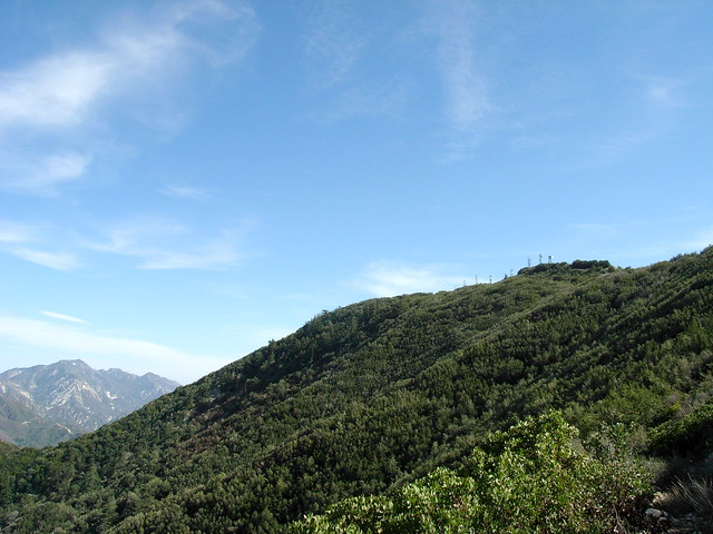
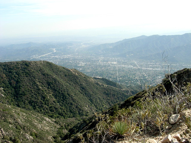
The summit of Mount Lukens is topped with humming, fenced-off radio towers of all shapes and sizes. While it’s not exactly wilderness solitude, it is a prominent summit and still takes a good amount of effort to get to the top. If it’s a clear day, enjoy the distant snowcapped peaks and blanketing urban sprawl views.
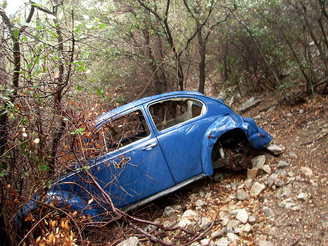
I was originally planning on making a return route down Haines Canyon, but I had no desire to get covered in ticks again so I chose a fire road / trail descent instead. Plus, I kind of wanted to see that wrecked Beetle on the trail again during better weather.
The route down the fire road is pretty much your basic, run-of-the-mill fire road descent. It’s easily graded, generally smooth, long and shadeless. You’ll have clear views of downtown L.A. and the Santa Monica Mountains if the haze isn’t too bad.
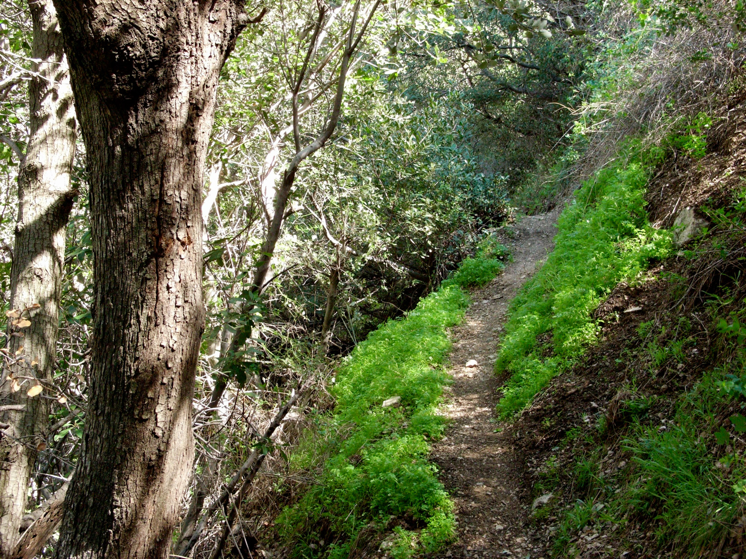
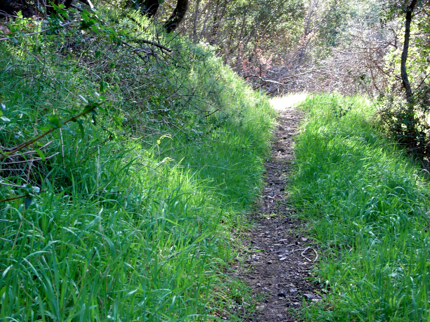
After about 1.7 miles of hiking, keep your eyes peeled on the right hand side of the road. A small boulder marks the beginning of a quick shortcut trail back to the bottom of Haines Canyon. You don’t have to take it, but it’s a lot faster than the fire road, with more shade and – honestly – some of the nicest stretches of trail I’ve seen in any of the San Gabriels.
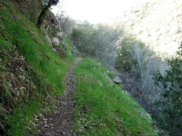
It’s a single-track trail that makes some long switchbacks along steep ridges, under a healthy amount of shade and canopy. Also, near the top of the trail, there’s a wreck of an old VW Beetle. I don’t know how the heck it got up there, as the fire road is not exactly something someone would take a standard passenger car onto — but maybe that’s why it’s wrecked.

Take the time to enjoy this great section of trail as it descends into the ivy-covered bottom of Haines Canyon. From there, rejoin up with the fire road and hike back on out.
For an alternate take on this peak, try ascending from the north via Stone Canyon.
Tags: Angeles National Forest, Haines Canyon, hiking in Los Angeles, hiking trails, Mount Lukens, transit accessible, Tujunga