Whenever I embark on a discussion about the merits and demerits of the Southern California climate, inevitably somebody brings up the deplorable “lack” of fall color. People point at the ornamental liquid ambers on the street and scoff at the non-native trees as if this is California’s sorry excuse for one of the better spectacles the natural world has to offer. I will acknowledge that if all you have to go on are ornamental trees in an urban area that California’s fall color must look pretty poor (not to mention what that might suggest about the rest of the state’s natural features).

However, the belief that there’s no fall color in California is as erroneous as the belief that there are no seasons here (they’re just not what you might think they should be). We at Modern Hiker feel we have demonstrated this time and time again with hike write-ups describing gems like Parker Lake, McGee Creek, and Convict Lake. And yet, it seems like every time I open my mouth to talk about how great the Eastern Sierra is, people still react with flat disbelief that the fall color there can be every bit as good as it can be in places like Colorado or even the east coast.

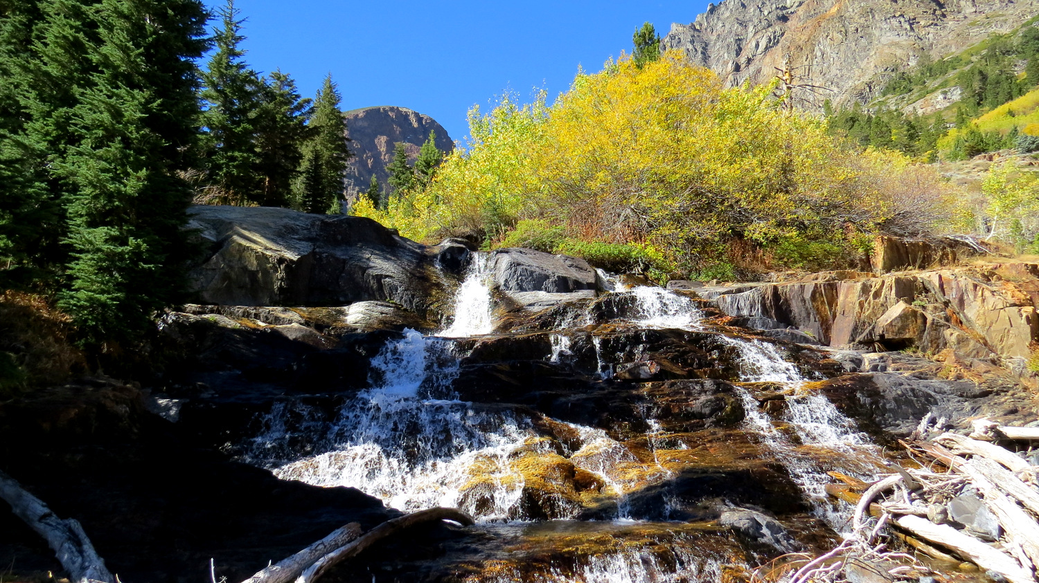
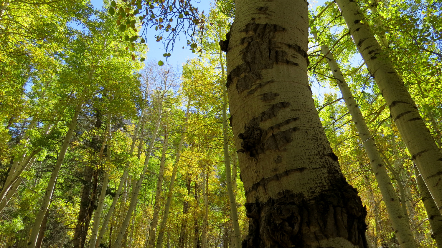
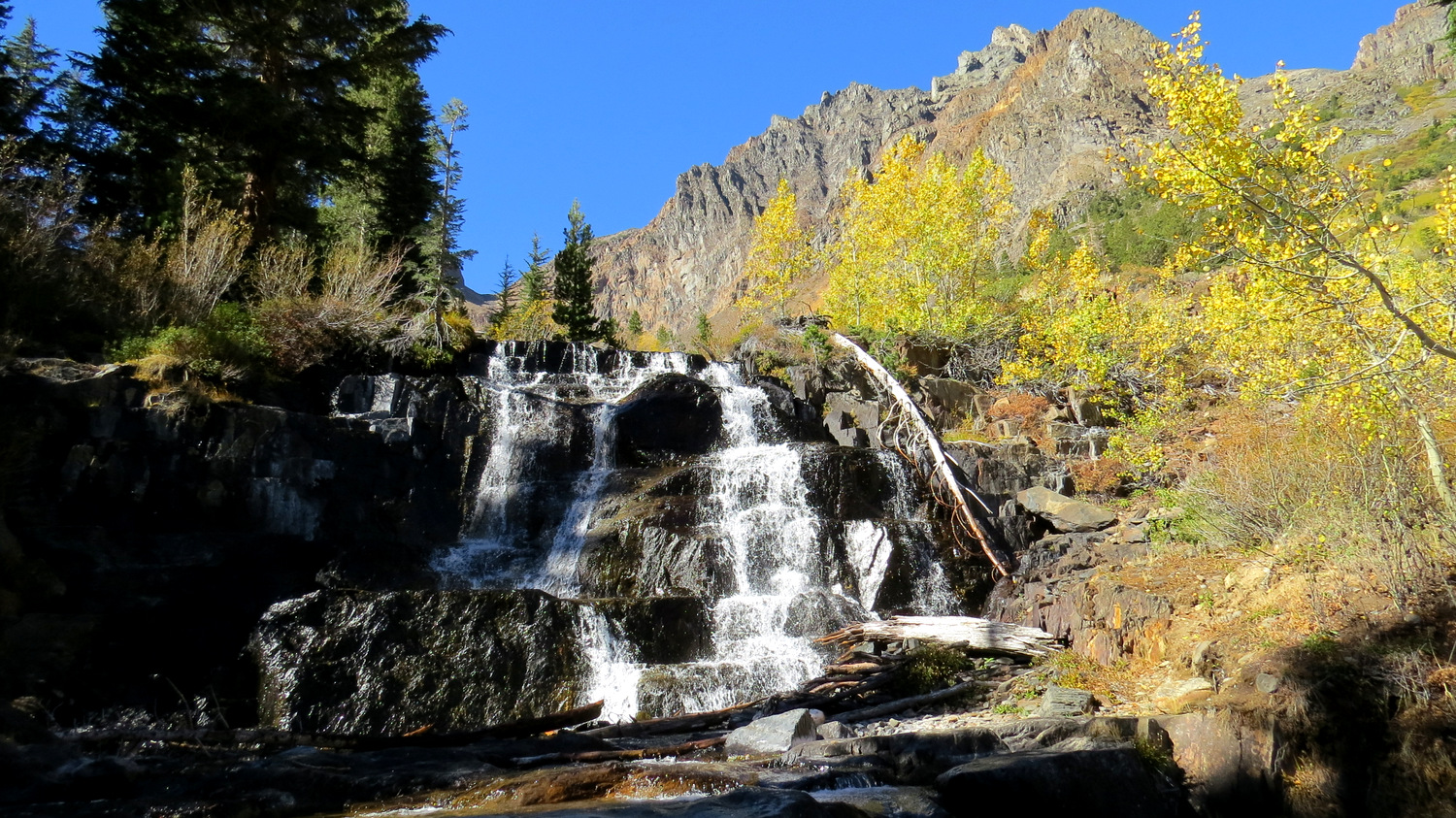
Right here on the eastern edge of the state in one of the most dramatic landscapes in the American West, hikers can find a plethora of trails that pass through glorious groves of quaking aspens that transition from deep green into a palette of lime, yellow, orange, and red come September and October. Among those regions that support color, which includes trails in and around Bishop Creek, Big Pine Creek, Rock Creek, Mammoth Lakes, June Lakes, the Lee Vining Area, Virginia Lakes, and Sonora Pass, the trail through Lundy Canyon in the Hoover Wilderness grants hikers a chance to stroll through beautiful forest of colorful aspens juxtaposed against a series of cascading waterfalls tumbling over colorful metamorphic rocks.

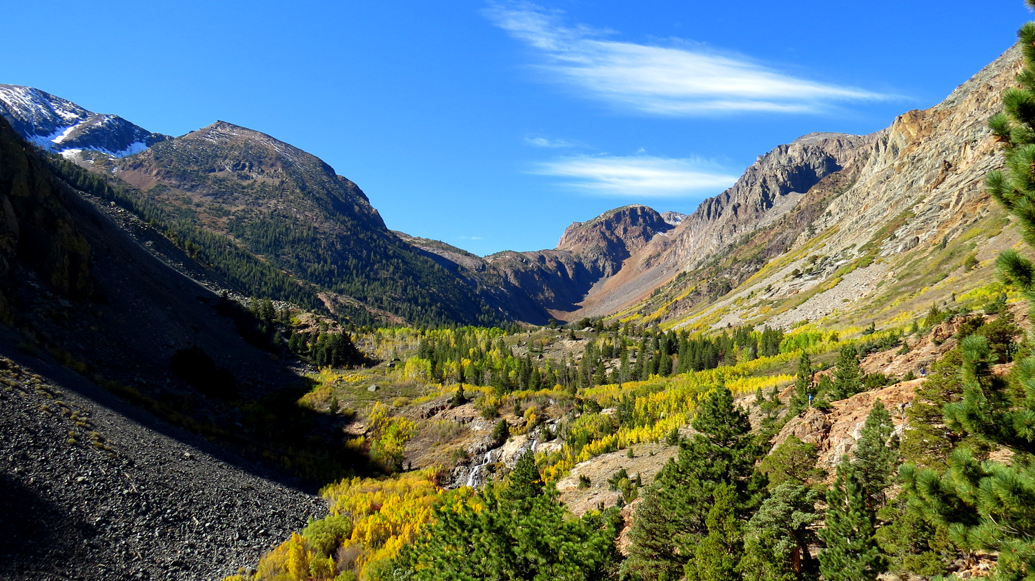
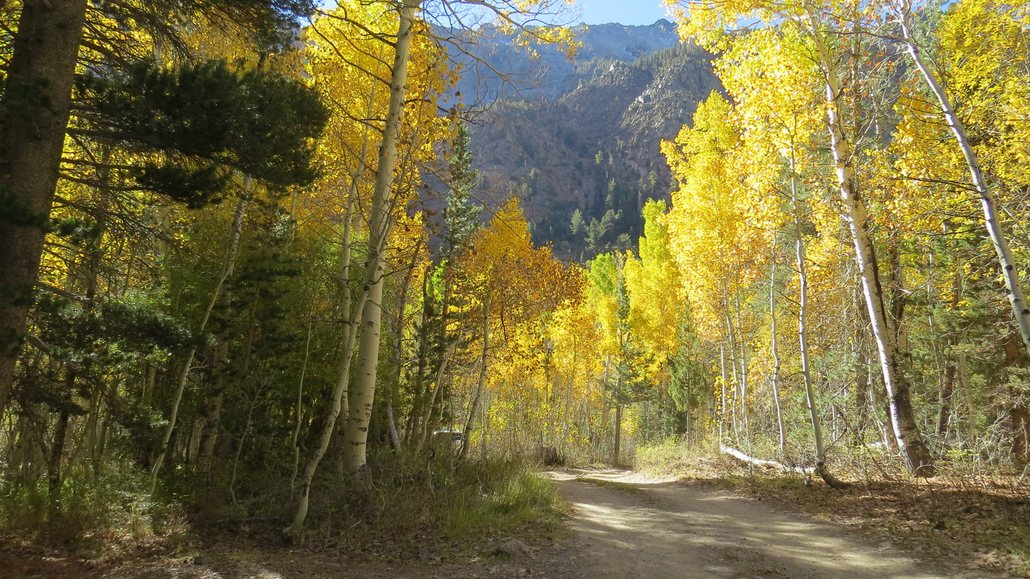
On this moderate hike, you will pass through aspen forest from before the start all the way to the final waterfall. Vistas up canyon reveal cascades of gold and orange spilling down the sides of the canyon. Dense thickets surrounding small lakes and beaver ponds filter sunlight in golden hues, while the high altitude climate adopts a crisp bite signalling the upcoming onset of a long winter.


You dip into aspens long before you reach the parking area as you follow a smooth dirt road through groves beyond Lundy Lake. The trail climbs away from the parking area into aspen forest just north of Lundy Creek. At .25 mile, a spur trail branches off on the left to follow the banks of a marshy lake to a point offering a nice view of the first of several waterfalls within the canyon. This option diversion adds about .6 mile.


Beyond the spur trail, the main trail climbs up and around the lake, gaining a brisk 300 feet and wrapping around the north side of the first waterfall. Views up-canyon from the shelf above the lake reveal the full extent of the canyon as well as “streams” of color oozing down the canyon walls like molten gold. After passing a stream that drains Burro Lake, the trail wraps around a beaver pond at .8 mile before continuing on a moderate uphill grade heading southwest.


Beyond the beaver pond, the trail enters the canyon’s densest groves of aspens that contains a smattering of conifers here and there. After crossing Mill Creek, keep your eyes peeled for the dilapidated remains of an old cabin. Beyond the cabin, the trail leaves the shade of the forest to follow a more open area studded with groves of aspens. Views across the canyon that take in both the grandeur of the soaring mountaintops as well as strips of glowing color maintain provide an abundance of scenes to admire as you progress.

At 1.9 miles, the trail reaches the first of three cascading waterfalls. A user-created trail departs from the main trail to bring you to the base of the first waterfall. Mill Creek spills over terraces of colorful metamorphic rock framed by aspens. The second set of waterfalls, a two-tiered affair at 2 miles, is perhaps the most scenic. A short, user-created spur trail leads to the third and final waterfall just beyond the second.

Beyond the waterfalls, the trail continues upward to the base of the canyon wall. Topo maps indicate the presence of a trail leading uphill to Lundy Pass, where several lakes in a sculpted basin lie awaiting exploration. However, whatever trail that was once here has devolved into a steep, uninviting slog that will quickly multiply your effort by exponential rates. Besides, it’s easier to reach these lakes by way of Saddlebag Lake just off of Tioga Road than from Lundy Canyon. Unless you really have the determination to climb straight up through scree, the third waterfall will be your turnaround point.
Tags: aspens, eastern sierra, fall color, Hoover Wilderness, Inyo National Forest, Lee Vining, Lundy Canyon, Lundy Canyon Falls, Lundy Falls, Mono Lake


