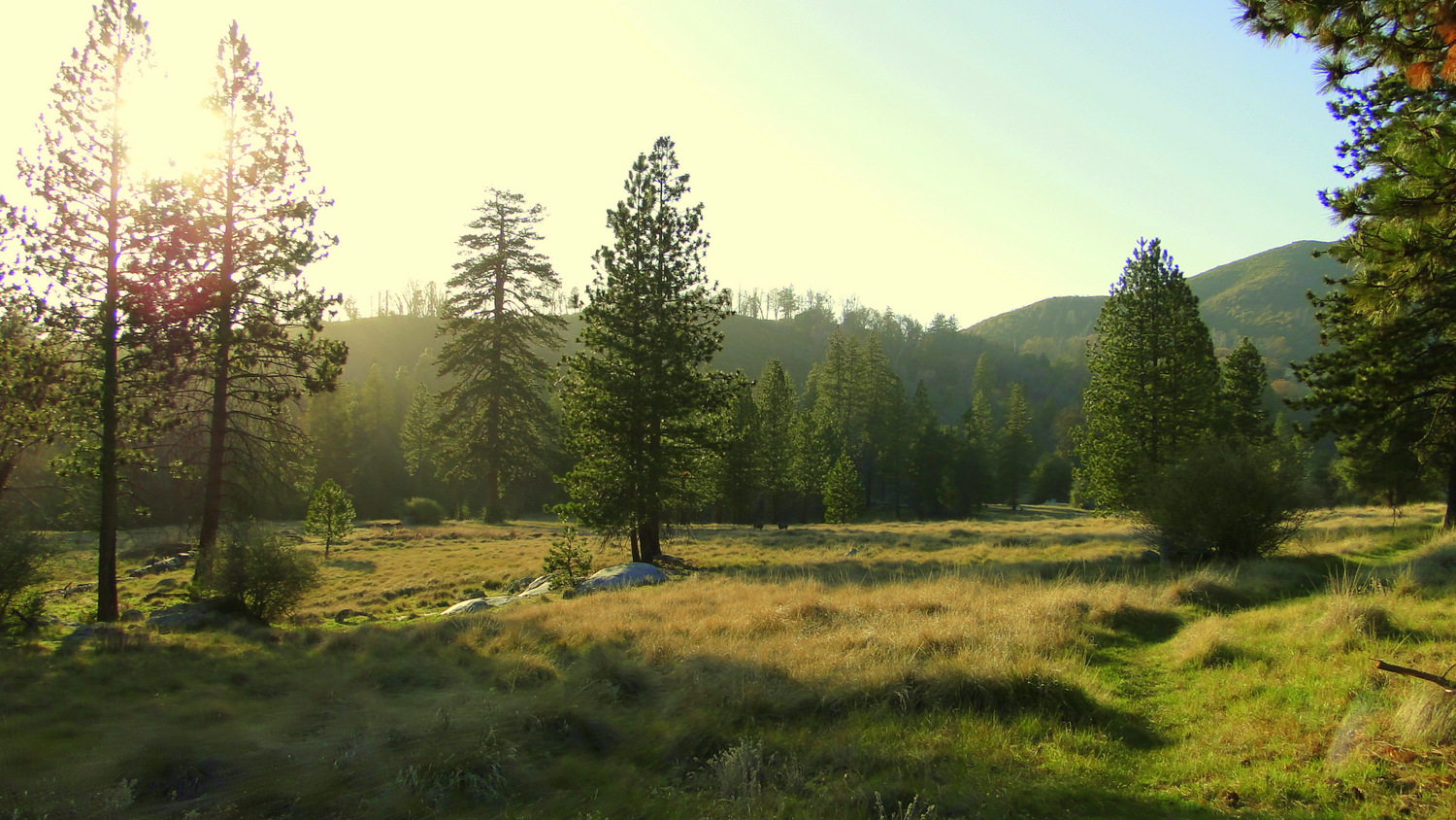
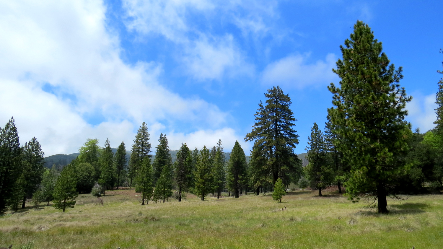
If you are looking to take a vacation from the dry, shrubby, bouldery interior of San Diego County, but you do not have several days to travel to the Sierra Nevada Mountains, the cool forests of Lower Doane and French Valleys will provide the ultimate getaway. These pine-rimmed meadows bordered by a spring-fed creek are entirely out of place in semi-arid San Diego County and feel as if they have been transplanted directly from the floor of Yosemite Valley. In fact, the towering ponderosa pines and black oaks, along with the expansive meadows will remind you very much of the ecosystem within Yosemite – minus the granite, of course.
Doane Valley Nature Trail
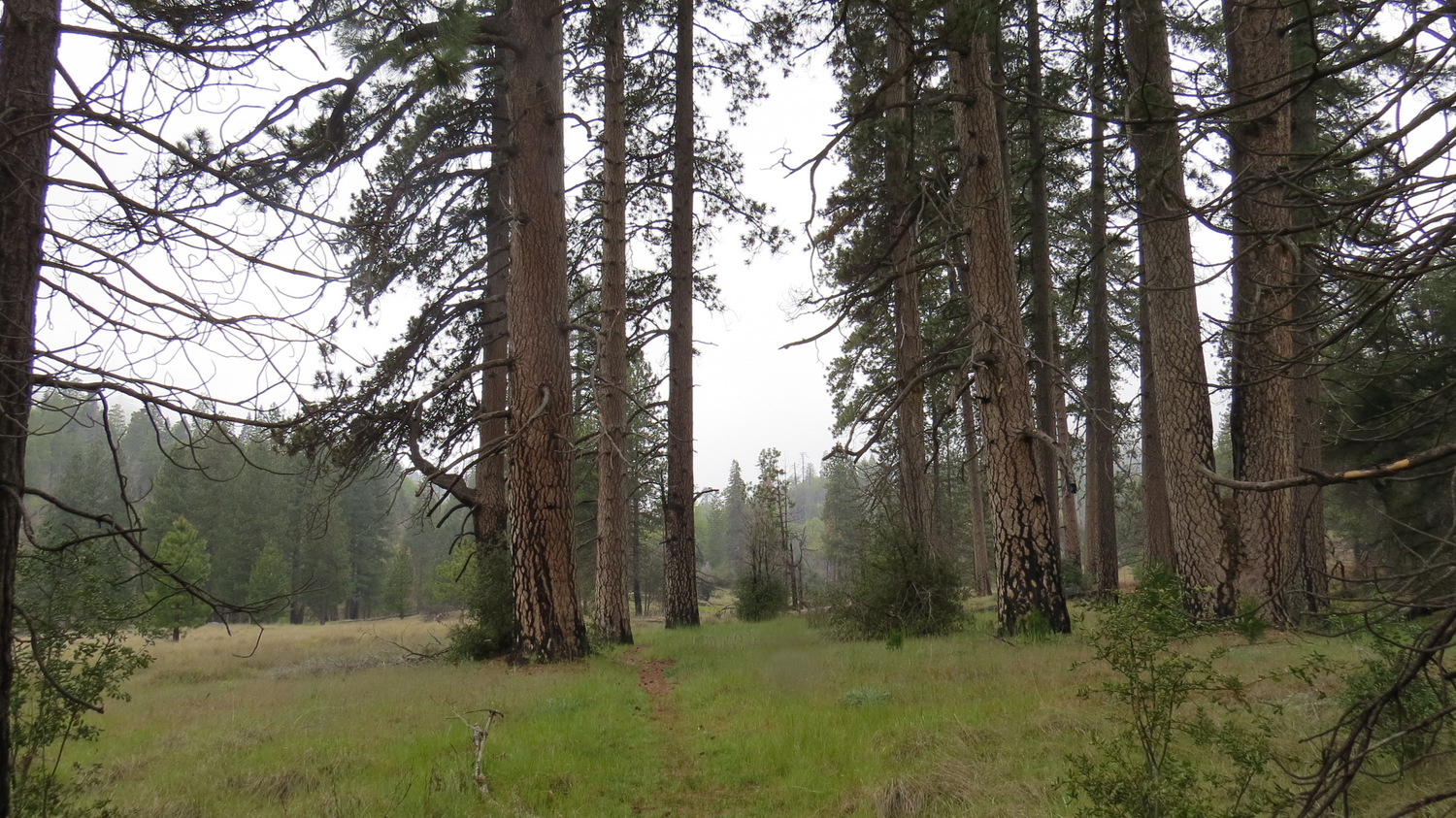
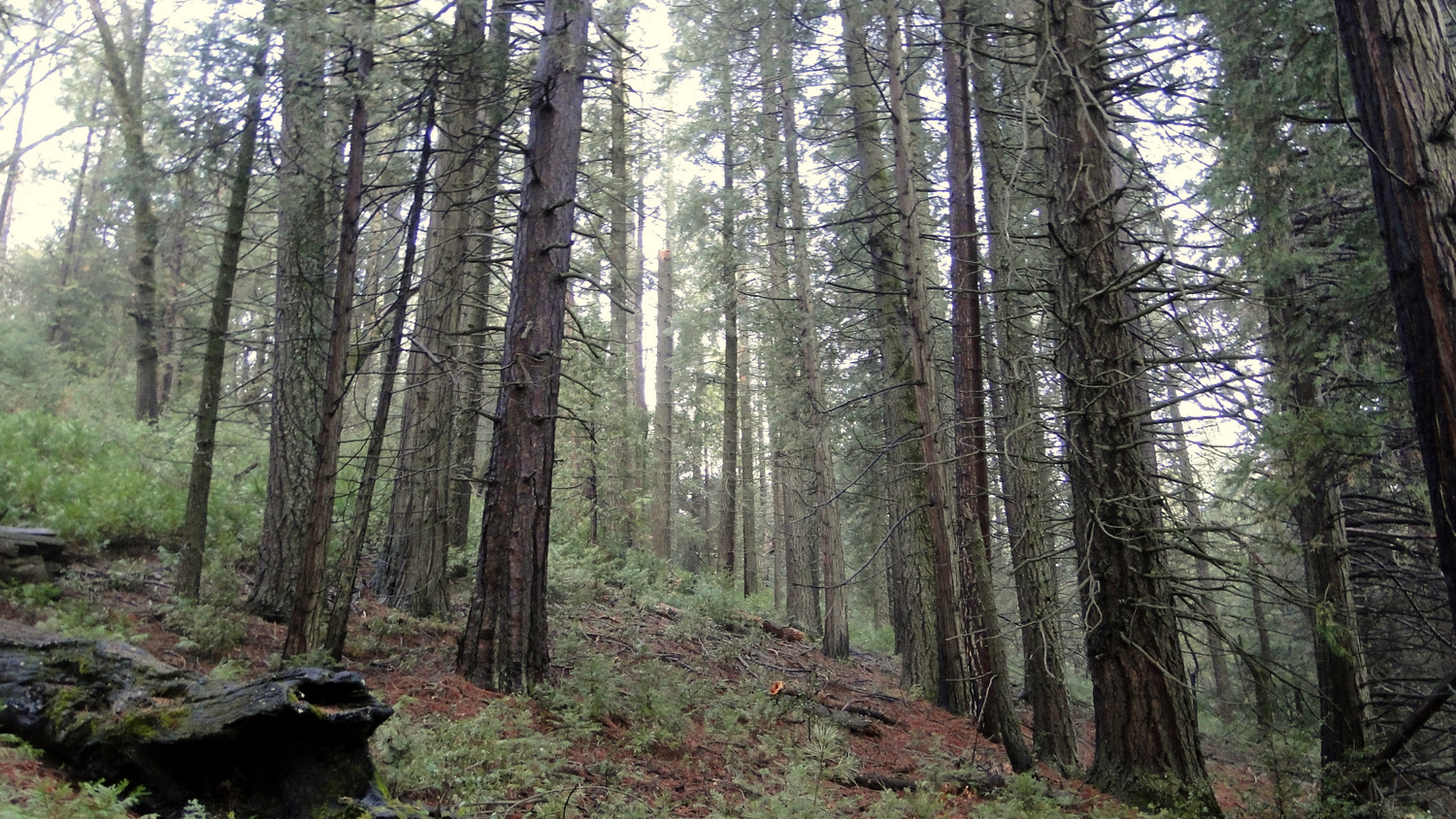
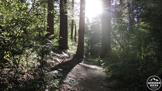
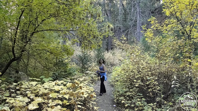
This trail begins at the parking lot for Doane Pond, which is a popular destination for fishermen and is kept stocked by the park. After parking, locate the trailhead for the Doane Valley Nature Trail and plunge into another world. After you pass along the bed of a seasonal creek beneath dense willows and conifers overhead, you will emerge to cross Doane Valley Road and then descend into the rich forest bordering Doane Creek. This forest features many species of trees and plants that exist almost nowhere else in San Diego, including box elder, Pacific dogwood, white alders, and Sierra gooseberry. The shade here is dense, and the scattered black oaks, dogwoods, and box elders within this forest can provide vivid splashes of fall color during the month of November.
Weir Trail
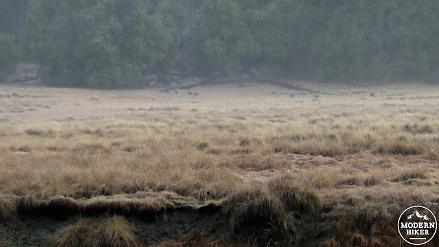
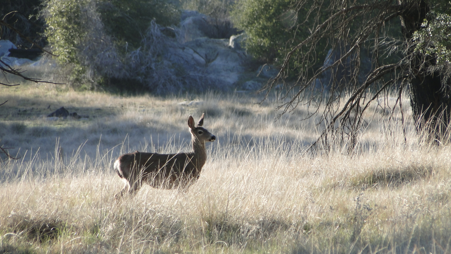
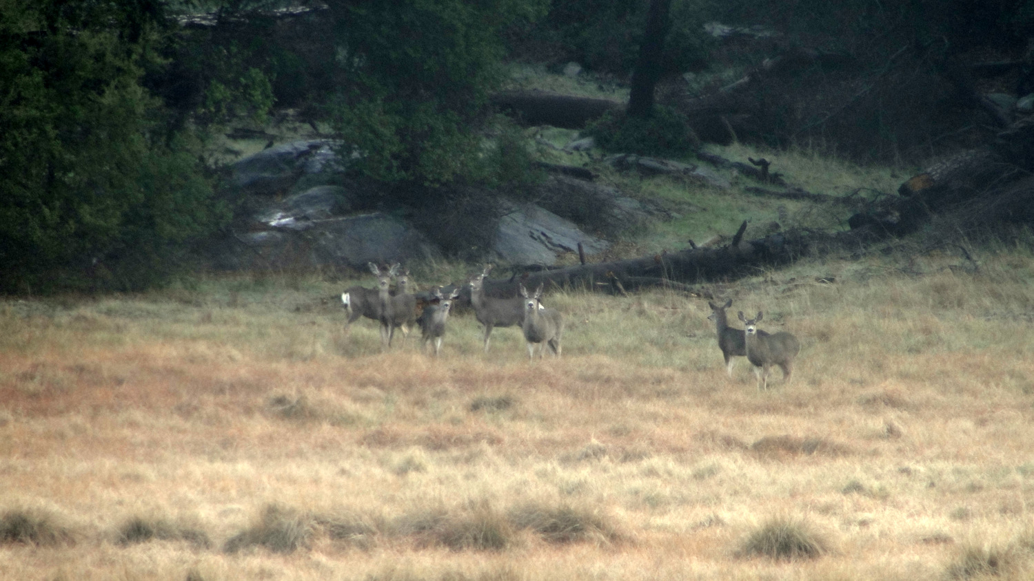
A herd of deer browsing in the meadow
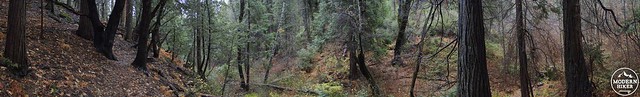
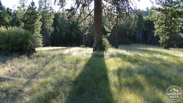
Take the left turn when you reach the junction with the Weir Trail. Mark the right turn to continue onto the Doane Valley Nature Trail, as you will end up here on the return journey. The Weir Trail will climb briefly before continuing to follow the left bank of Doane Creek through more dense forests of incense cedar, white fir, black oak, bigcone Douglas fir, canyon oak, and white alder. After a short stretch of these wonderfully cool woods, the trail will emerge at a clearing with a view over the meadow in Lower Doane Valley. This is an ideal spot for deer watching in the early morning and late evenings, when the conifers around the meadows cast deep shadows across the gentle, grassy meadows.
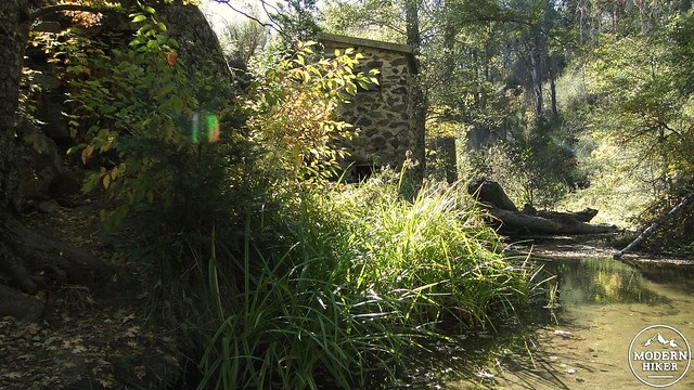
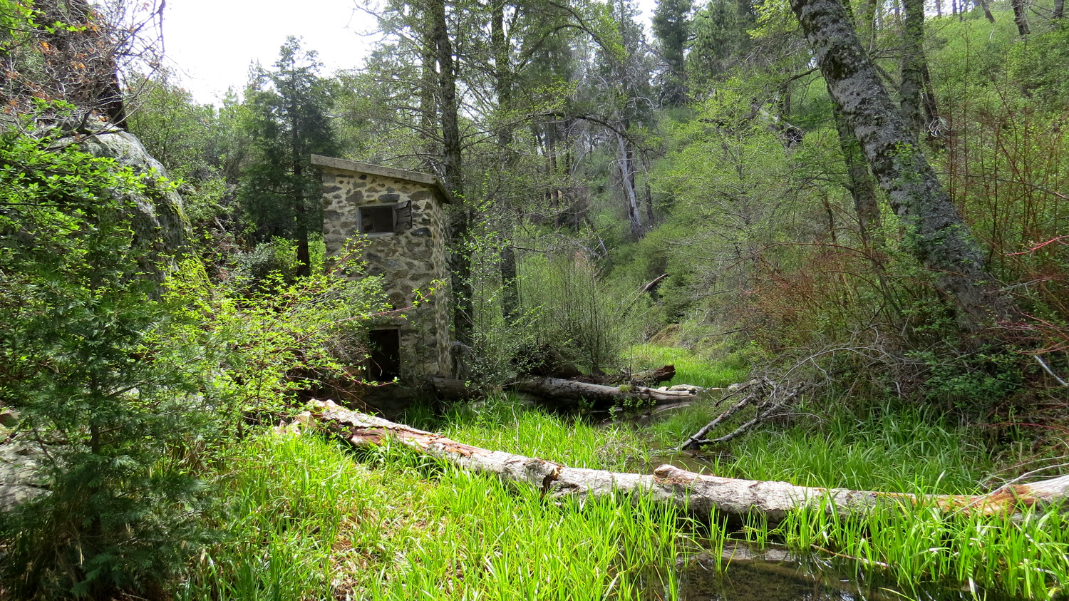
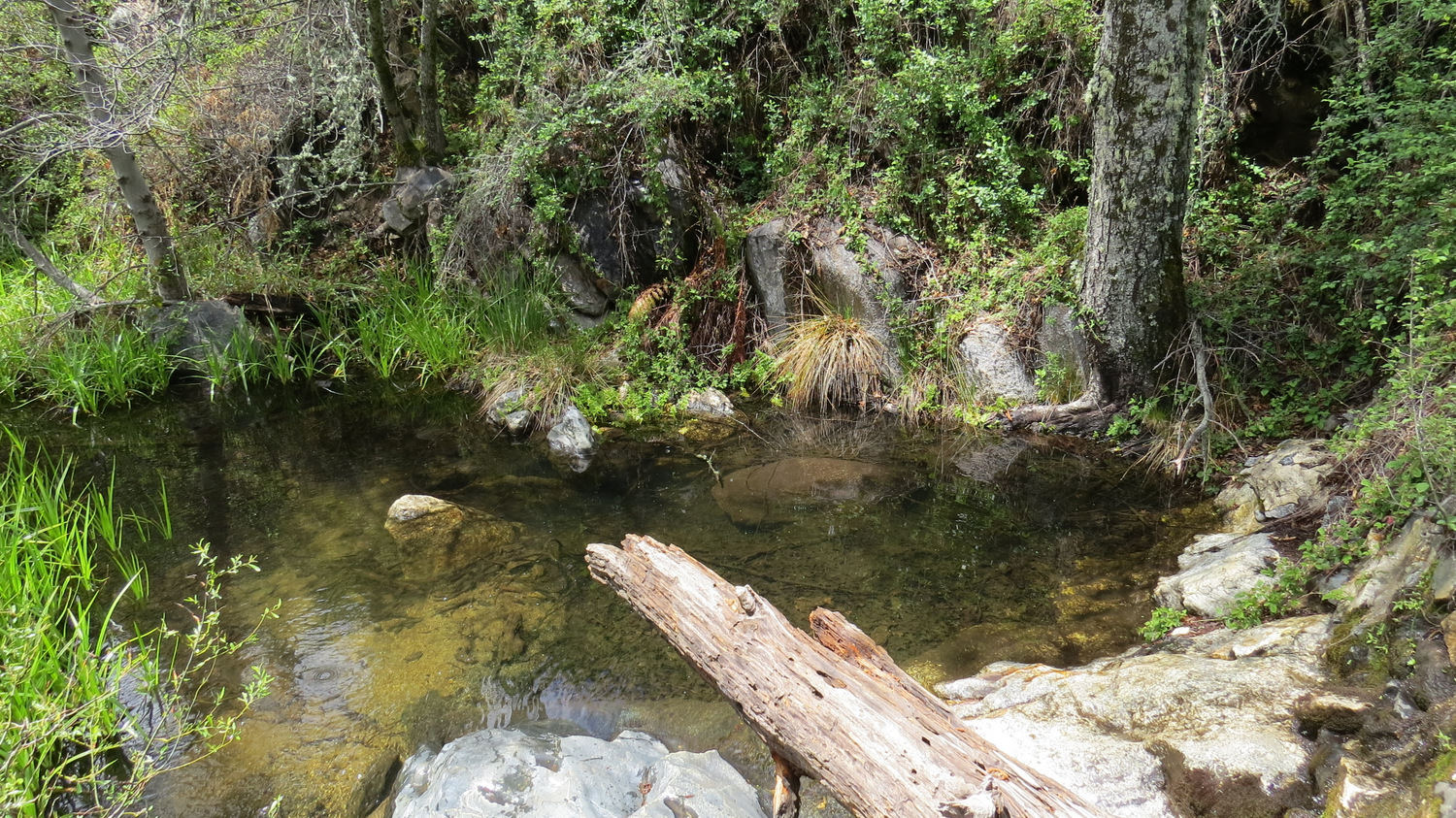
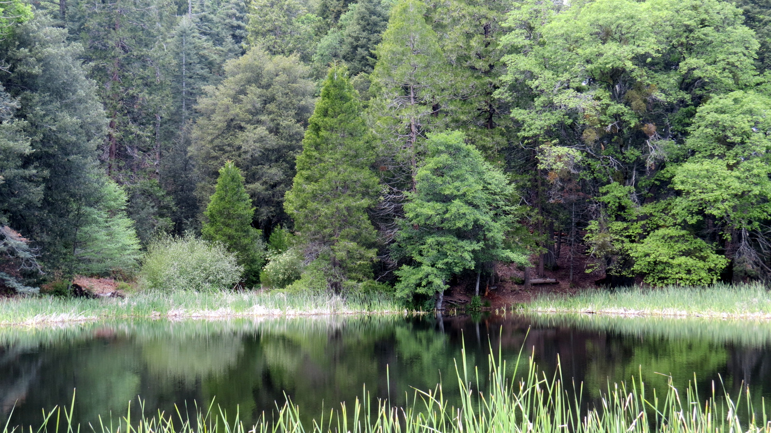
The Weir and pond
Continue following the Weir Trail as it crosses Doane Creek and then comes to a junction with a trail veering right. You will eventually take this junction, but not quite yet as there is an old historical landmark to explore at the end of the Weir Trail. Continue along the trail as it passes through increasingly dense bushes before dropping into a cool grotto with an old stone structure and a small dam, known as a weir. This structure and weir were built to monitor the flow of water along what is now Pauma Creek to determine if there was enough flow to produce electricity. There never was quite enough water, but the abandoned structure and the pool created by the weir creates a peaceful stopping point just below the confluence of Doane Creek and French Creek. Use caution while climbing on the rocks as the smoothly polished surfaces can be very slippery.
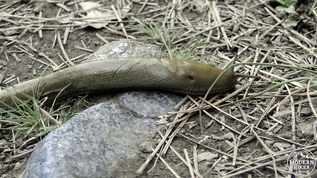
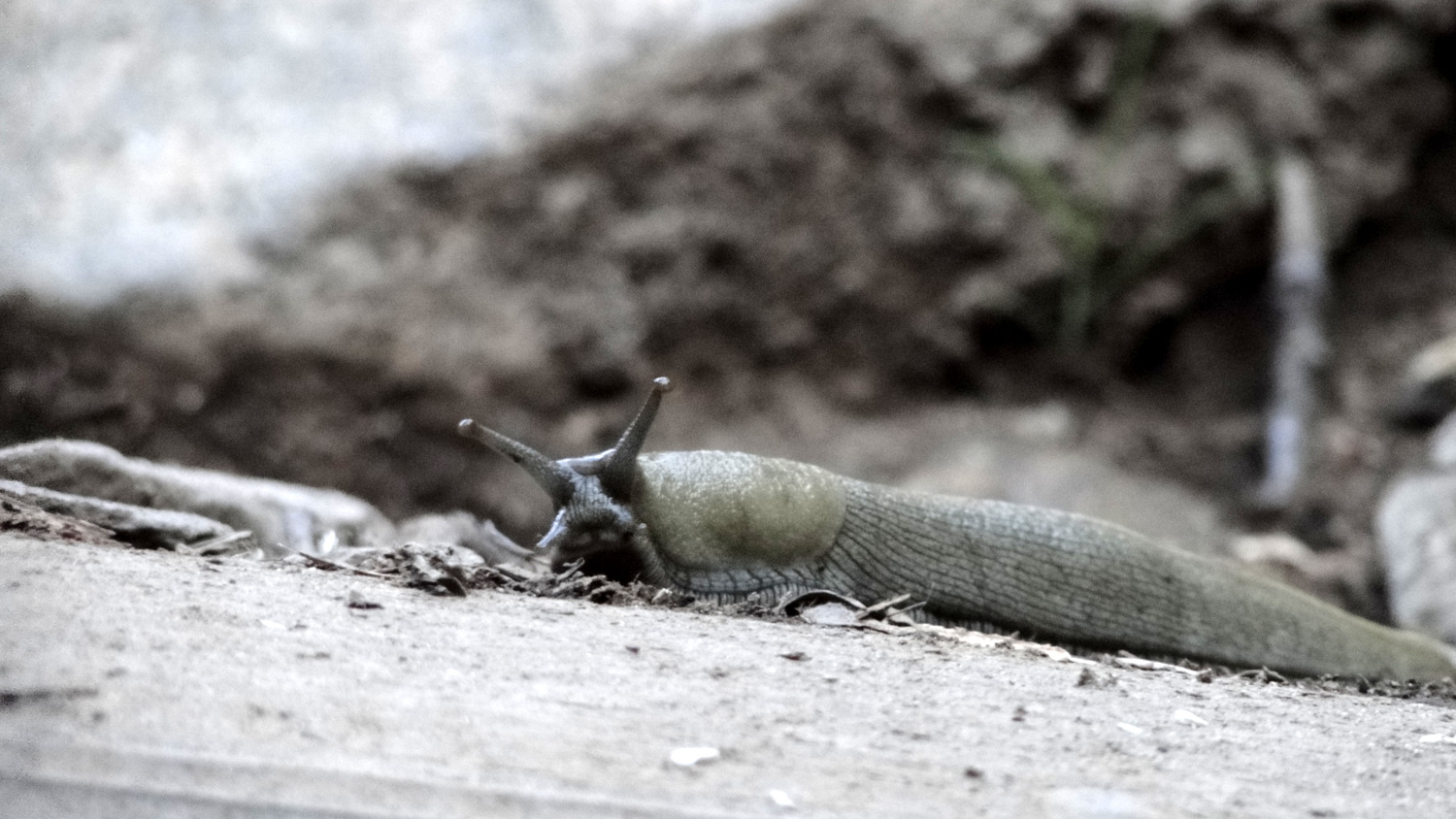
Palomar Banana Slug
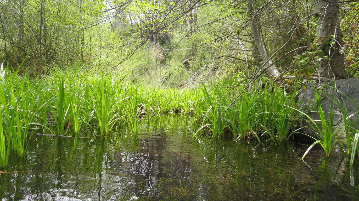
If you have a bit of luck on this section of the trail, you may have the opportunity to witness one of the true ecological oddities of the Palomar Mountains. Years ago, rangers exploring the area around the weir came across a species of banana slug related to the slugs so common in the redwood forests north of Santa Cruz. The slugs here are a dull olive green instead of the vivid yellow of the northern slugs. They survive in this isolated pocket due to the abundant moisture provided by the creek and the favorable slope aspect. Nowhere else in Southern California do banana slugs survive.
A monstrous twin-trunked ponderosa pine
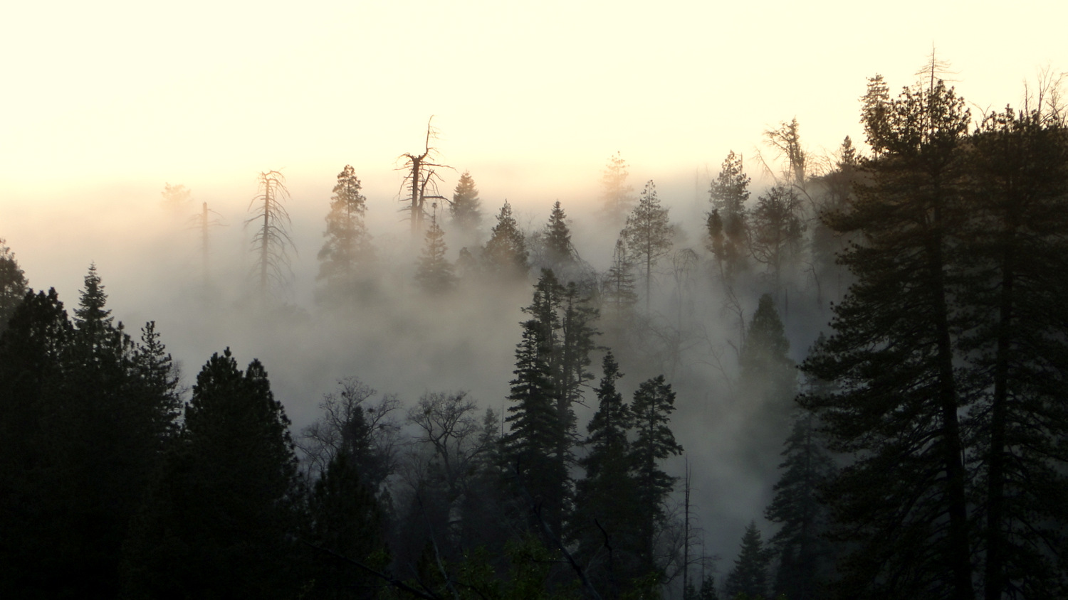
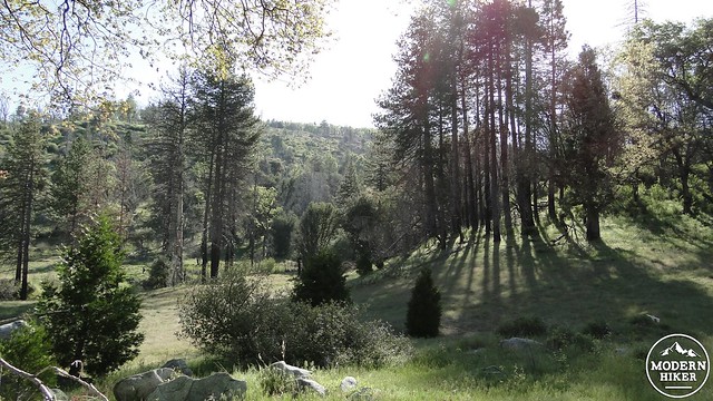
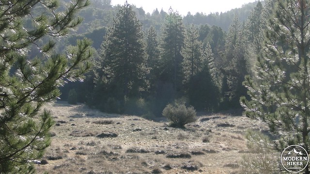
View south over Lower Doane Valley
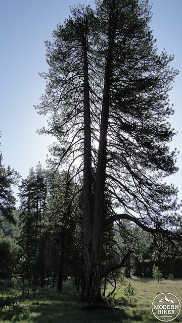
After enjoying the weir pond, backtrack to the earlier junction and turn left to cross Doane Meadow. You will pass some massive Ponderosa pines, which may be among the tallest trees in the county. One notable pine splits into two trunks about 30 feet up the tree. Along this brief connector trail, you will enjoy views south over Lower Doane Valley and views north over French Valley. This is also a prime spot for spotting deer, and I have seen herds as large as 25 here following a massive rain storm.
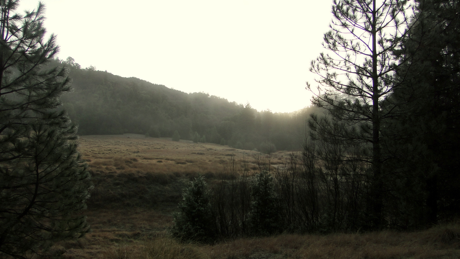
French Valley Trail
The end of the French Valley Trail
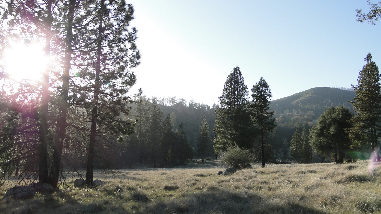
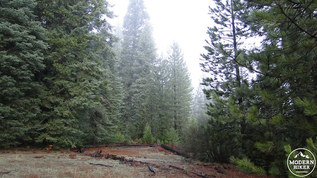
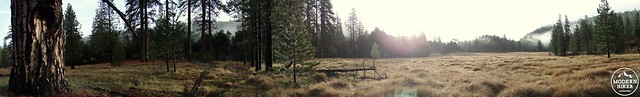
You will quickly come to a junction with the French Valley Trail leading left through a long, luxurious meadow dotted with Ponderosa pines. Turn left to follow this grassy trail into French Valley, which is now protected as a state wilderness. This trail doesn’t lead to a particular destination, but the pleasure of walking this beautiful trail is destination enough. You will catch views of nearby Boucher Hill as well as now tree-less hillsides that were hit hard by the 2007 Poomacha Fire. You may notice a return trail off to the right, which you can take now or perhaps later after you’ve enjoyed the view at the dead-end of the trail. The trail ends unceremoniously, but there is a nice copse of trees off to the left under which you can sit and soak in the ambiance or enjoy a picnic lunch.
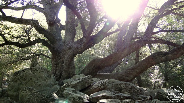
Canyon Live Oak
Junction with Lower Doane and French Valley
Turn right onto the French Valley Connector Trail, which will lead toward Doane Valley Family Campground. Follow the trail through recovering woodland as it passes along the drier eastern side of Lower Doane Valley. You’ll come across more familiar species of trees on this segment, including coast live oaks, manzanita, and ceanothus. Being a southwest facing slope, this area does not retain moisture the way the opposite side of the valley does, and therefore there are fewer conifers.
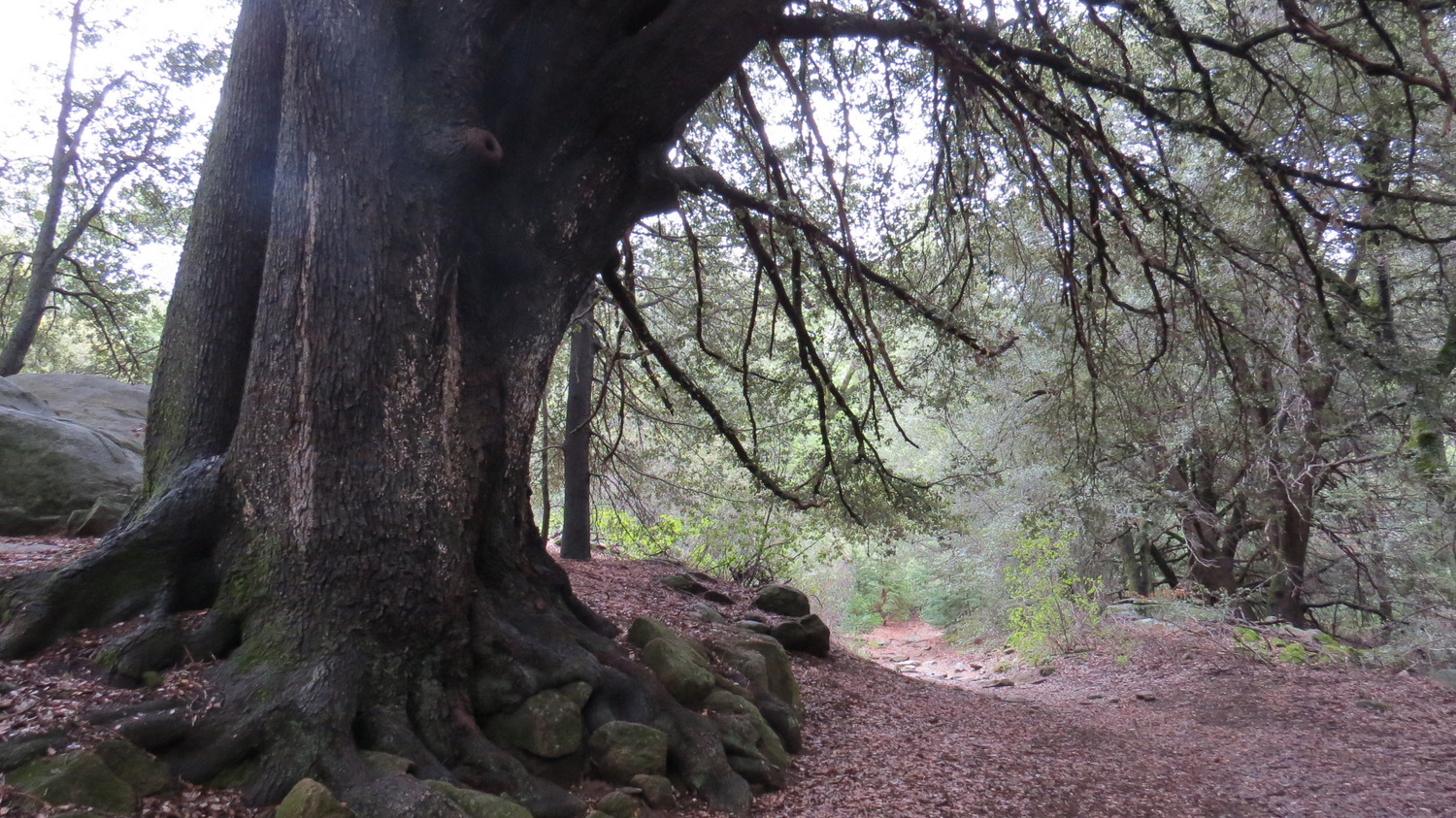
The trail will eventually merge with a parallel trail before passing beneath a dense grove of massive canyon live oak trees. These multi-limbed monsters tower over the trail and nearly blot out the sun. This is a fine place to stop and rest or take a snack break. As you continue, the trail will pass through more oaks and a few cedars before reaching the edge of a meadow. The campground is directly across a dry creekbed, and you can return to your car by walking through the campground and back down Doane Valley Road. If you want some more forest, including one of the oldest and gnarliest trees around, turn right at the meadow to follow the continuation of the Doane Valley Nature Trail.
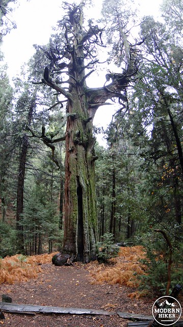
The Old Man of the Forest
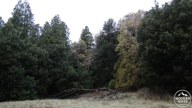
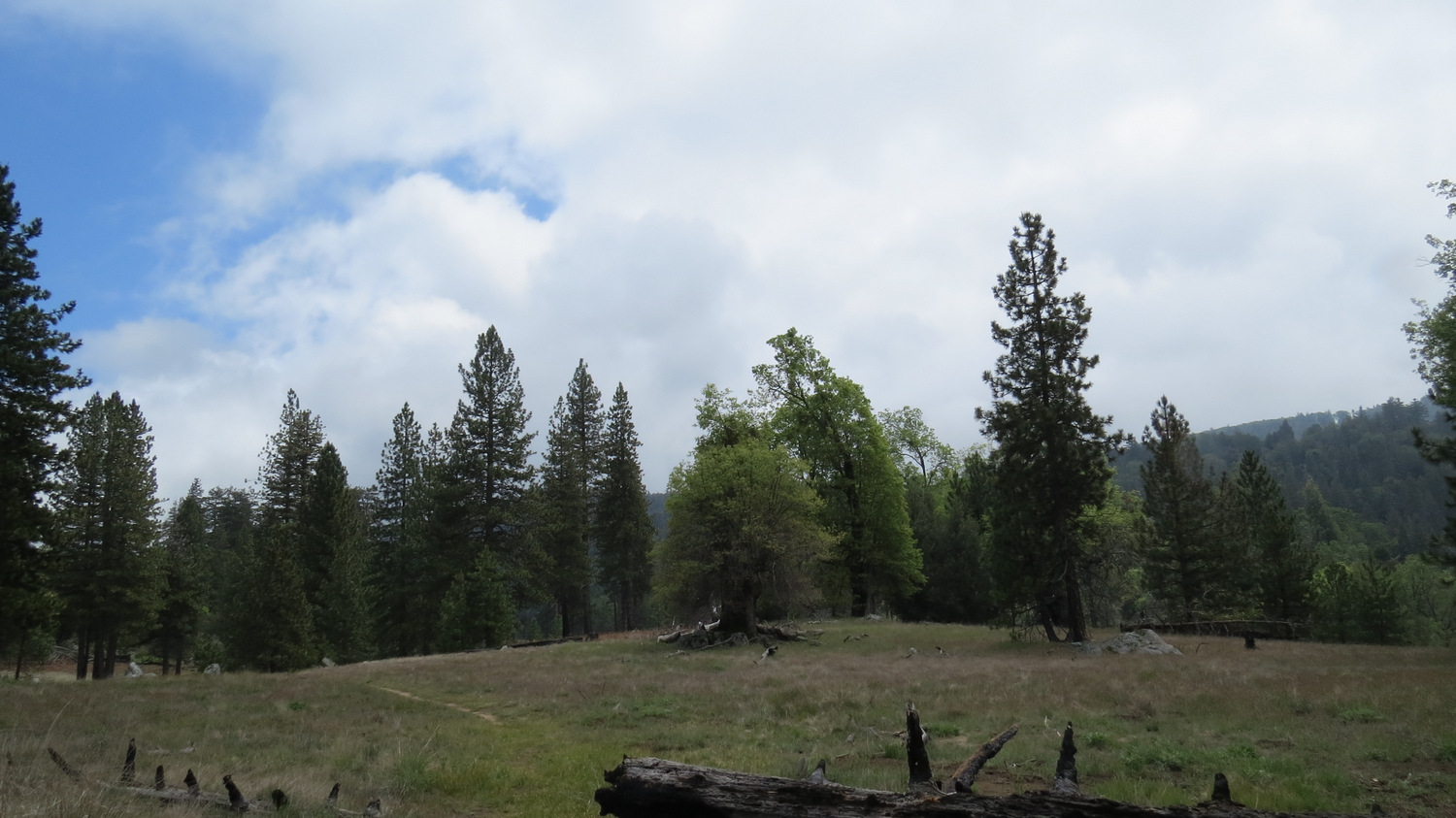
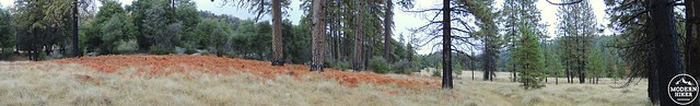
Small Meadow near the Campground
This trail will skirt the edge of the small meadow (keep an eye out for wild turkeys) before plunging back into a dense grove of cedars and oaks. Ferns and baby cedars will blanket the undergrowth as you pass over another seasonal creek and round a bend that offers another vantage over Lower Doane Valley. The trail will bend to the right and plunge back into the densest grove of cedars yet. At the heart of this grove stands an old incense cedar that features a prominent branch spreading out and forming a secondary trunk. This ancient-looking tree looks quite a bit like a giant sequoia tree, and it has been mistaken for such in the past. Here is yet another fine place to stop and rest as a nearby bench provides a comfortable seat from which to admire the tree.
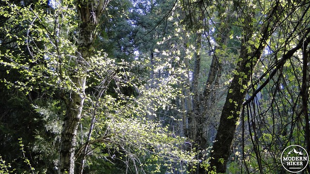
Box Elders and Alders
Peep Approves!
Continue on past the grove of cedars to enter another meadow which will lead back into the forest along the eastern bank of Doane Creek. After crossing the creek, you will return to the junction you noted earlier with the Doane Valley Nature Trail and the Weir Trail. Turn left to return through the densely-vegetated Nature Trail before climbing the rock stairs up to Doane Valley Road. Cross the road and pass back through the willows to emerge at the parking lot, thus completing the loop.
Tags: Banana Slugs, Doane Pond, Doane Valley Campground, French Valley, Lower Doane Valley, Palomar Mountain State Park, Weir Trail