UPDATE 8/15/2018: The trails on this route have been heavily impacted by the 2018 Holy Fire. It will be quite some time before the vegetation recovers, and it is currently unknown when the trails will re-open.
Los Pinos Peak is a prominent bump on a ridge branching off of the main divide of the Santa Ana Mountains. This sparsely forested peak occupies prime real estate on the northern rim of San Juan Canyon, which allows for incredible views over a plethora of Southern California landmarks. This 5.2 mile out-and-back – 4.5 if you stop at the peak – climb is a great introduction to Orange County’s highlands.
Los Pinos Peak sits on Cleveland National Forest property in the Trabuco District of the forest. The trailhead lies along Main Divide Road adjacent to Blue Jay Campground and the trailhead for both the Old and New San Juan Trails. This region of the Forest is a hub for activity in the Ortega Highway Corridor, which also includes access to the nearby San Mateo Wilderness, Sitton Peak, and other destinations further along Main Divide Road, such as Santiago Peak, Trabuco Canyon, Modjeska Peak, and a handful of seasonal waterfalls.
To reach the peak, begin from the small parking area at the junction of Long Canyon Road, Forest Route 3S04, and Main Divide Road. Head due west on Main Divide Road, and begin a moderate switchbacking climb up the spine of the Santa Ana Mountains. As you gain elevation, views will begin to open east, west, and south.
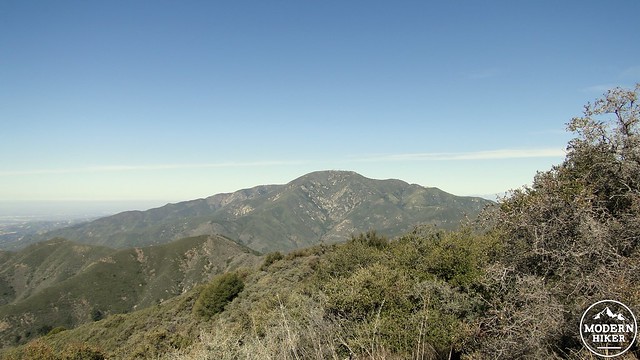
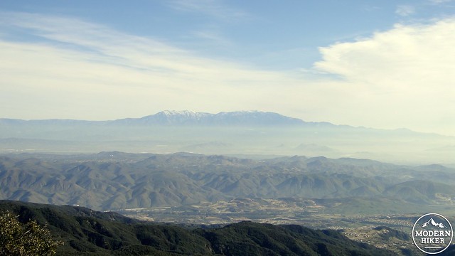
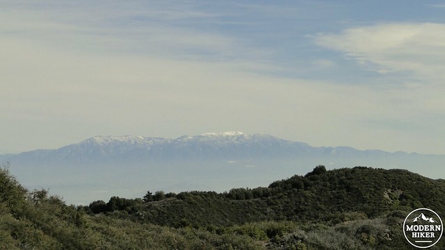
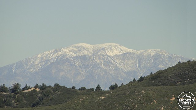
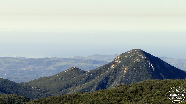
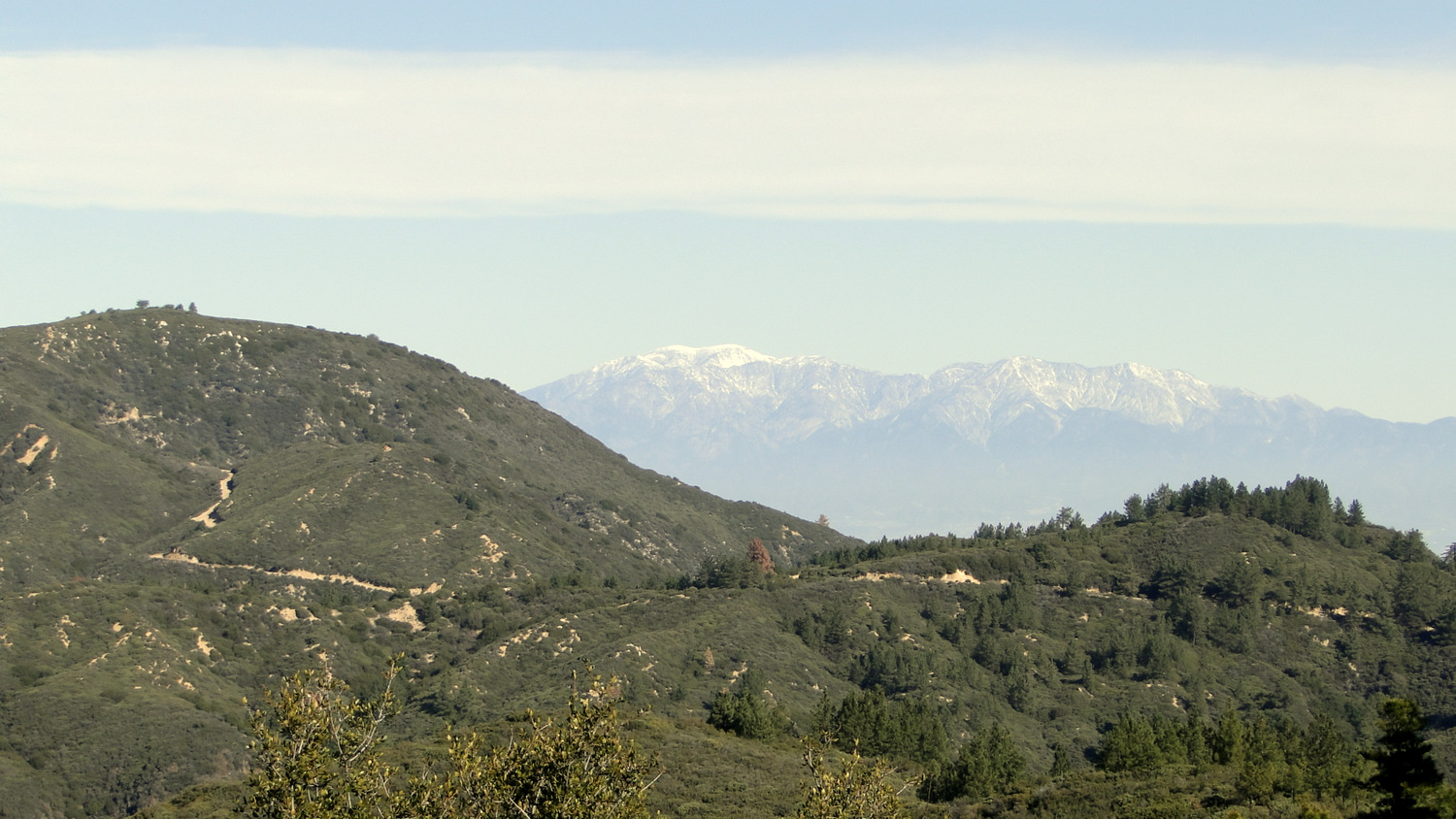
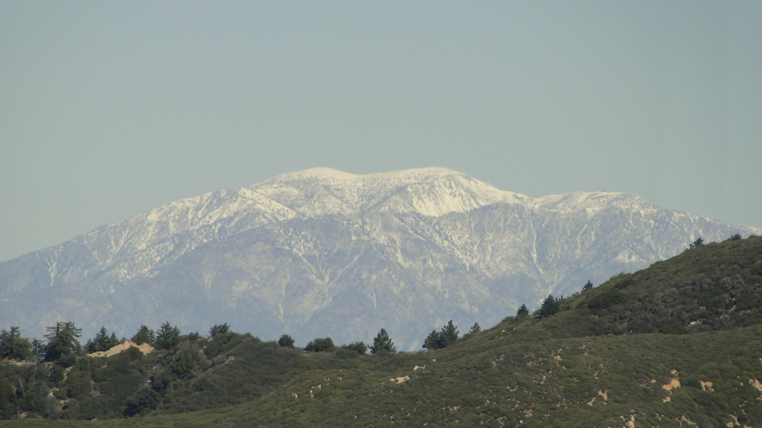
Looking east, you will see Mt. San Jacinto, the Desert Divide, Mt. San Gorgonio, and bits of the Inland Empire. Looking west, you will see the Orange County coastline, which will either be fogged in, hazy, or sparklingly clear. If clear, expect to see Santa Catalina Island rising up from the infinite blue of the Pacific. Looking south, you will see Sitton Peak and a sliver of the deep gorge of San Mateo County which eventually recedes into the distance haze of San Diego County.
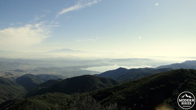
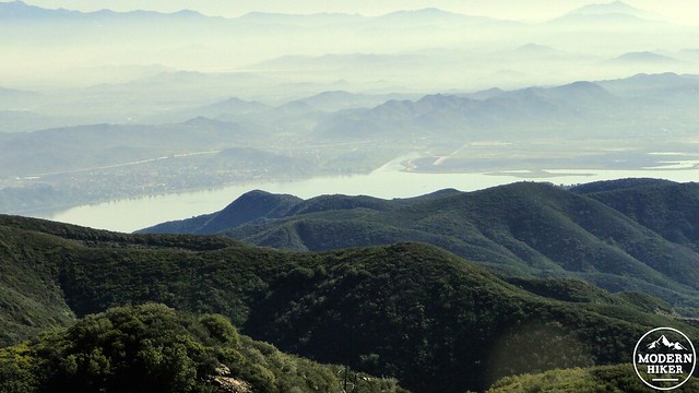
You can expect the views to continue as you make your way up Main Divide Road toward the four-way junction at Los Pinos Saddle. Along the way, other conspicuous landmarks such as Lake Elsinore and El Toro Marine Base will come into view.
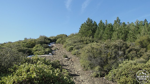
At 1.6 miles, you will arrive at the junction Los Pinos Saddle, which offers access to Main Divide Road, Trabuco Canyon, and Los Pinos Peak. At the junction, you will cross over a pipe barrier and begin the sharp ascent up a rocky slope blanketed with manzanita. On the north-facing sides of this slope, you will see thickets of Coulter pine. This lower-altitude, drought-tolerant pine grows in abundance on the north slope of Los Pinos down into the patch of forest you glimpsed at the saddle. Los Pinos derives its name from these pines, and it is both welcome and unexpected to see pine trees thriving in Orange County.
Continue along the rocky slope as it climbs the spine of Los Pinos Peak toward the summit. The trail will undulate occasionally in a roller coaster style as it hugs the ridge in a very literal way. Soon, you will reach the high point on this ridge identified by a survey marker indictating the approximate summit. You are now occupying the 4,455’ summit and the 4th highest point in Orange County.
The view that you will have been enjoying all along will reach its fullest expression at the summit. To the north, you will get a full reveal of Trabuco Canyon and Santiago Peak, the high point of both the Santa Anas and Orange County. Mt. Baldy will poke its hairless head over the Main Divide Ridge, while the other Two Saints will either shimmer or glower in the distant haze. Traffic on Ortega Highay will cruise along mutely, while the hustle and bustle of Orange County will carry on in distant silence. San Diego County’s assortment of high points, including the Palomar Mountains and Cuyamaca Peak also loom in the far south.
Los Pinos may not be the loftiest spot, but this very much feels like “real mountain climbing” with views to boot. You can spend a good park of your morning or afternoon scanning the landscape and identifying landmarks. When you have finished, retrace your steps to your car and return to Ortega Highway to head home.
Note: The track presented here includes a continuation along the Los Pinos Trail, which eventually dissolves into a rough, unmaintained route dropping down into San Juana Canyon. This adds about ¾ of a mile to the trip, but you can avoid that to narrow the distance do to 4.5 miles. The extra distance does little to improve the views and serves only to satisfy a bit of curiosity.
Tags: Blue Jay Campground, Los Pinos Peak, Main Divide Road, Ortega Corridor, San Juan Canyon, Santa Ana Mountains, Trabuco District


