A beautiful journey through Lineham Canyon, this hike takes you through dense pine forests and open alpine meadows filled with summer wildflowers into a gorgeous amphitheater dotted with azure lakes and crowned by a 410-foot tall waterfall. A stunning day hike — one of the finest in the region.
If you’ve ever spent time hiking in the Columbia River Gorge on the border of Oregon and Washington, you may be familiar with trails that keep a constant vertical clip, revealing layers upon layers of exquisite scenery as you climb. The Dog Mountain Trail may be one of the best examples of this — what begins as a view-less hike through dense forest eventually opens up into rows of berry bushes clinging to the sides of cliffs with panoramic views of peaks and the river in every direction.
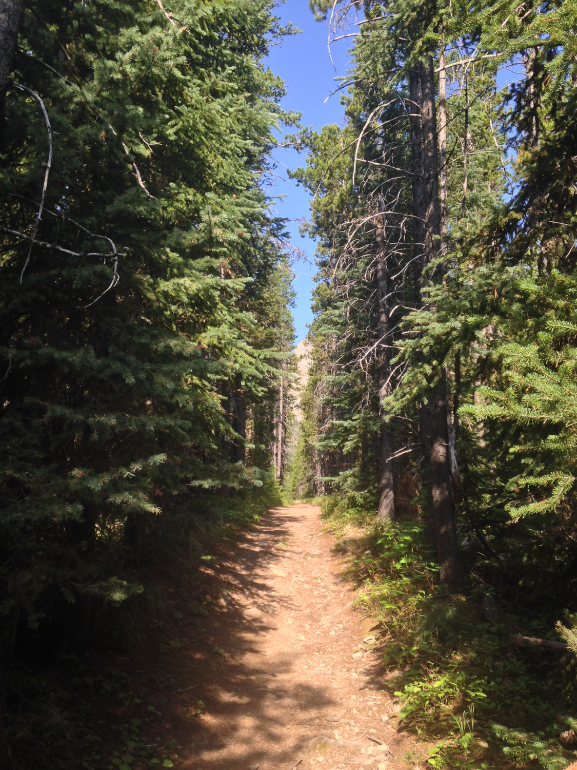
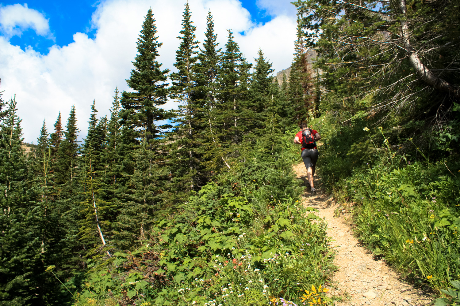
The trail to Lineham Falls has a very similar feel — minus, of course, the Columbia River. It begins at a small dirt parking area off the Akamina Parkway, near a wooden trailhead sign and small bulletin board. The trail dives right into the pine forest, and during the summer months you may get a taste of some Canadian wildflowers along the way.


It’s easy going for the first 0.1 mile, and then the trail begins to climb … and climb and climb and climb. It’s not terribly steep and it’s not difficult, but you will notice it on your way up. Unless, of course, you’re paying attention to the wildflowers.


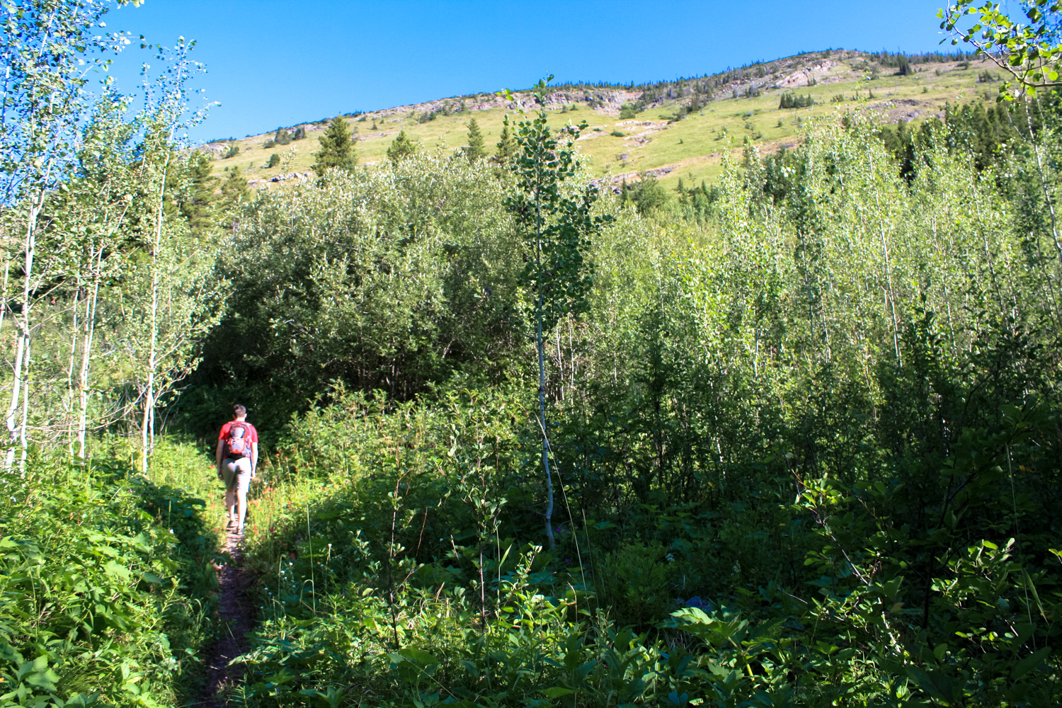
After a stretch of aspens, the treeline begins to thin and the views really open up.
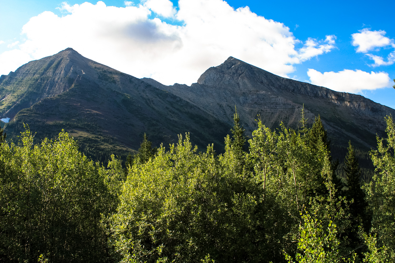
Like most places in Waterton Lakes National Park, it’s pretty sublime.


hiking toward Mount Lineham
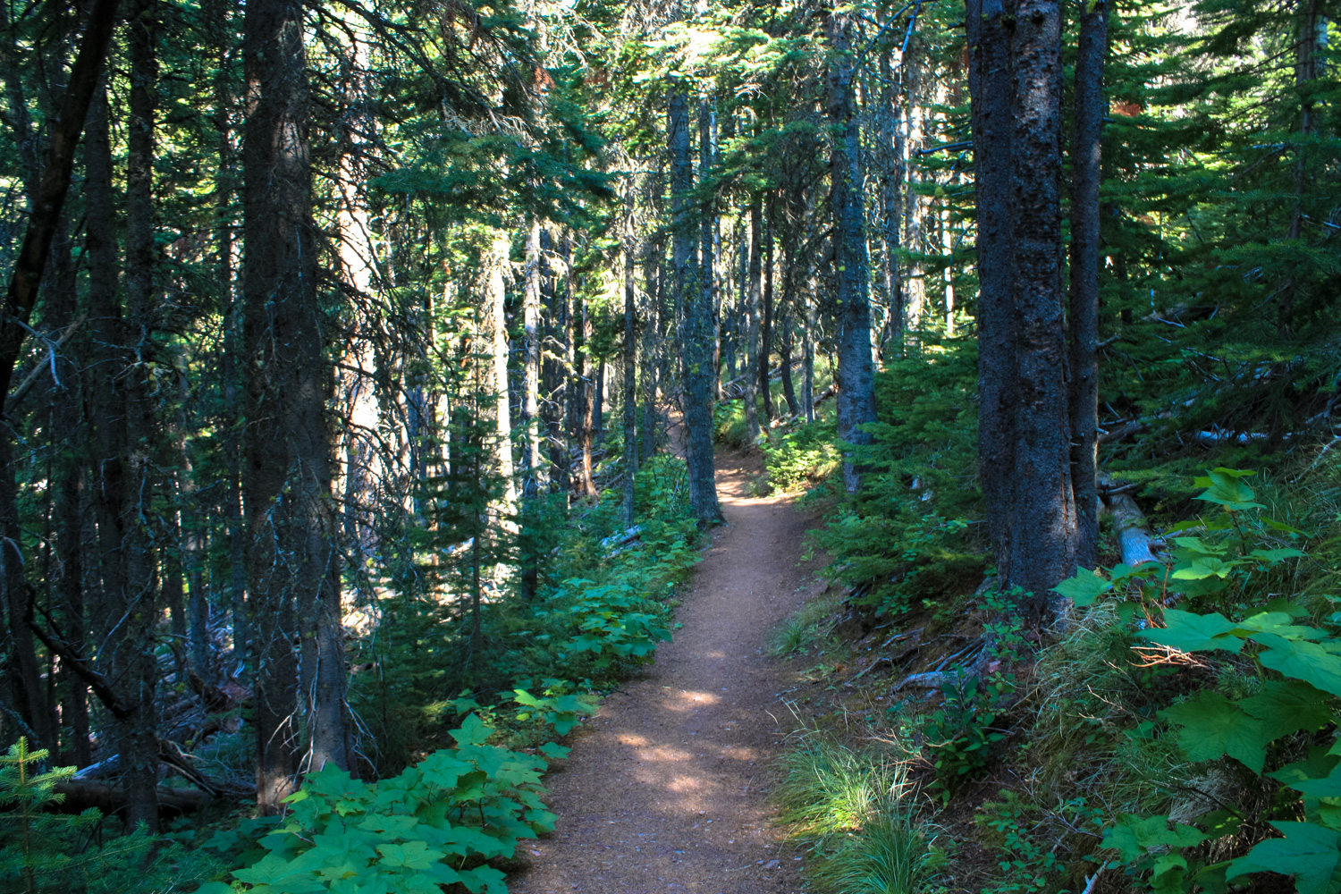
At 1.1 miles, a faint use trail departs to the right and makes a harrowing climb up to Ruby Ridge. Ignore this and continue hiking straight ahead. The trail re-enters another stretch of dense forest as it inches closer to the running waters of Lineham Creek. You’ll hear the waters first, and in a few places you’ll be able to see the creek on your left. The occasional short spur trail will take you down to the water if you feel like dunking your hat or bandana in on a warm day.


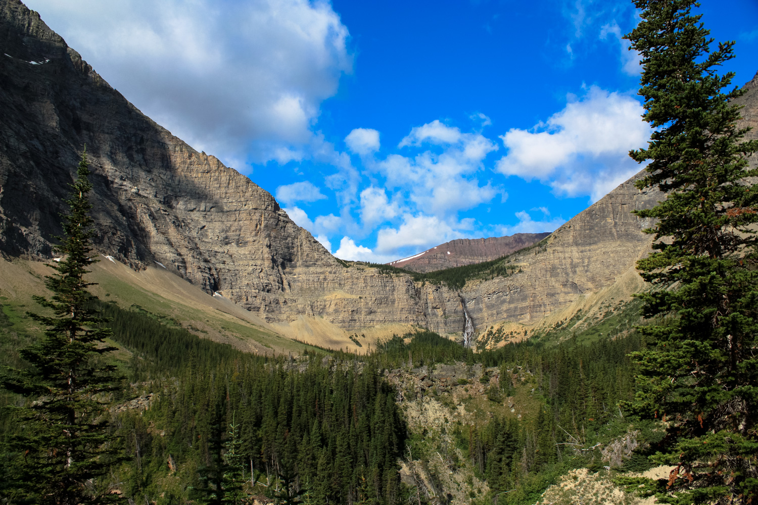
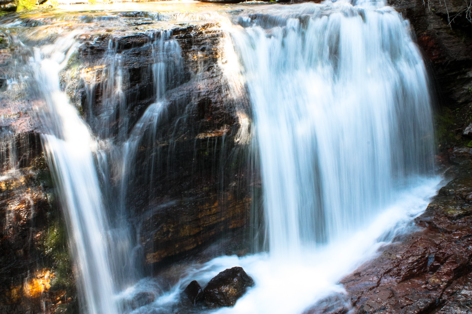
At 2.2 miles, the trail reaches a sizable avalanche chute where a snowmelt-fed creek flows in the warmer months. This is the first time you’ll get a really nice, head-on view of towering Lineham Falls. The water tumbles 410 feet from the three Lineham Lakes, which rest just atop this ledge before another imposing rock wall known as Lineham Ridge.
The waterfall framed by enormous peaks and dense pines is a beautiful sight, and one that you’ll definitely want to linger on.


There is another challenging route here, which climbs the avalanche chute and eventually crawls to the summit of Mount Blackiston to the north — the tallest peak in Waterton Lakes National Park. From there, a trail hugs the edge of this wide horseshoe-shaped valley, bringing you above the Lineham Lakes and onto Lineham Ridge. From there, the route hits the summit of Mount Lineham and slides down to Rowe Creek, where you can make your way back out to the Akamina Parkway.
Needless to say, that is quite a longer hike than the one described on this page. (There’s a great description of the climb from Rowe Creek here).

The established trail continues past the avalanche chute
Cross the chute and continue on the established trail until it ends at the 2.8 mile mark. The trail gets nice and close to Lineham Creek in some forested areas here, then ends at a sign that clearly says “Trail’s End.”


The views of the waterfall and the valley itself are phenomenal here, and it’s a great place to have a snack before you return.
An official trail used to continue past this point to the base of the falls and then — somewhat impossibly — up the cliff to the Lineham Lakes above. You can easily follow one of a handful of use trails from this point to the base of the falls without much worry. The remnants of the cliff-hugging trail still exist, but they are exceedingly dangerous for most hikers and not maintained by Parks Canada. The trail is extremely narrow, crumbling in many parts, and often very slippery from the waterfall. We do not recommend anyone without extensive mountaineering experience even attempt this route, and if you do, you should absolutely register with a warren and file a voluntary Hazardous Activity Permit.
Once you’re done enjoying this unbelievable scenery, return back the way you came in.
Tags: lineham creek, lineham falls, lineham ridge, mount blackiston, waterton lakes national park, wildflowers