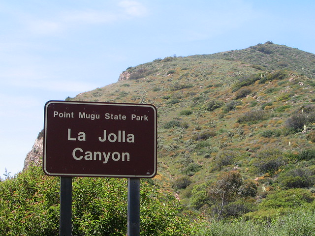
NOTE: The La Jolla Canyon Trail was heavily damaged in the 2013 Springs Fire and subsequent fires and mudslides. As of February 2018, it has still not been repaired and is impassable. To access this region, please use alternate routes, such as the trek to Mugu Peak from the Chumash Trail. We will update this as we hear further news on the trail work or plans to abandon the trail completely.
What follows is a description before the fires — as noted, the interior is still accessible from other routes, but the La Jolla Canyon Trail is not currently passable. Note that conditions are likely to be different from the way they are described here.
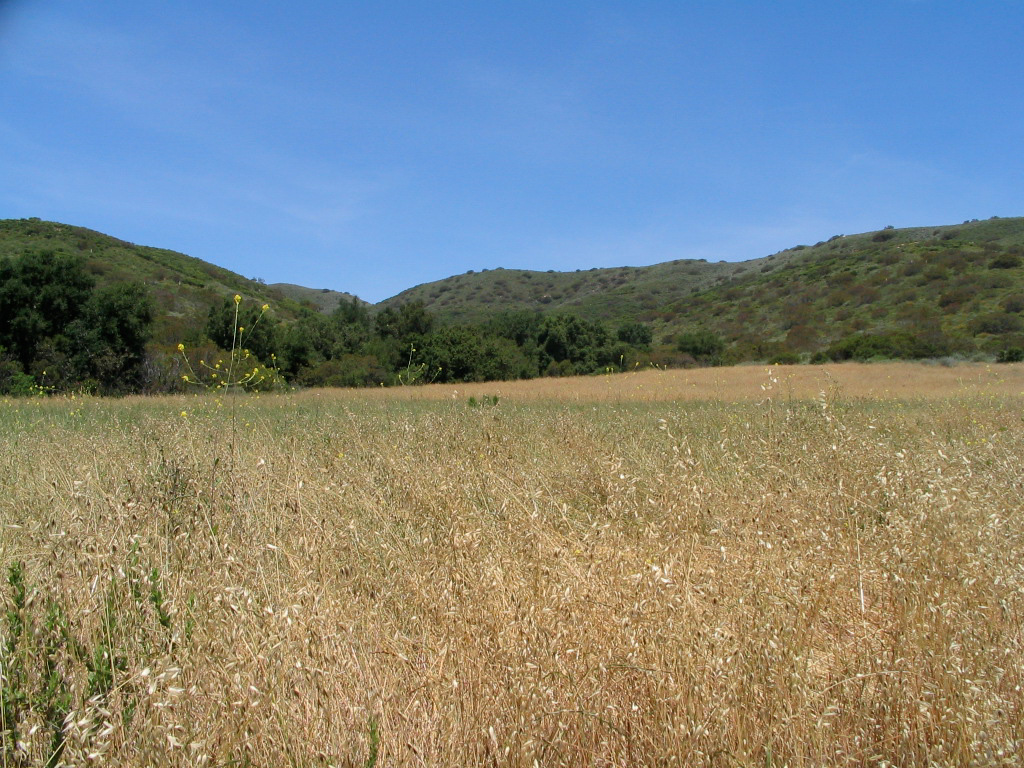
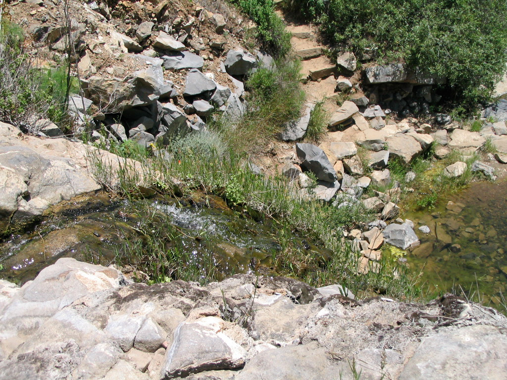
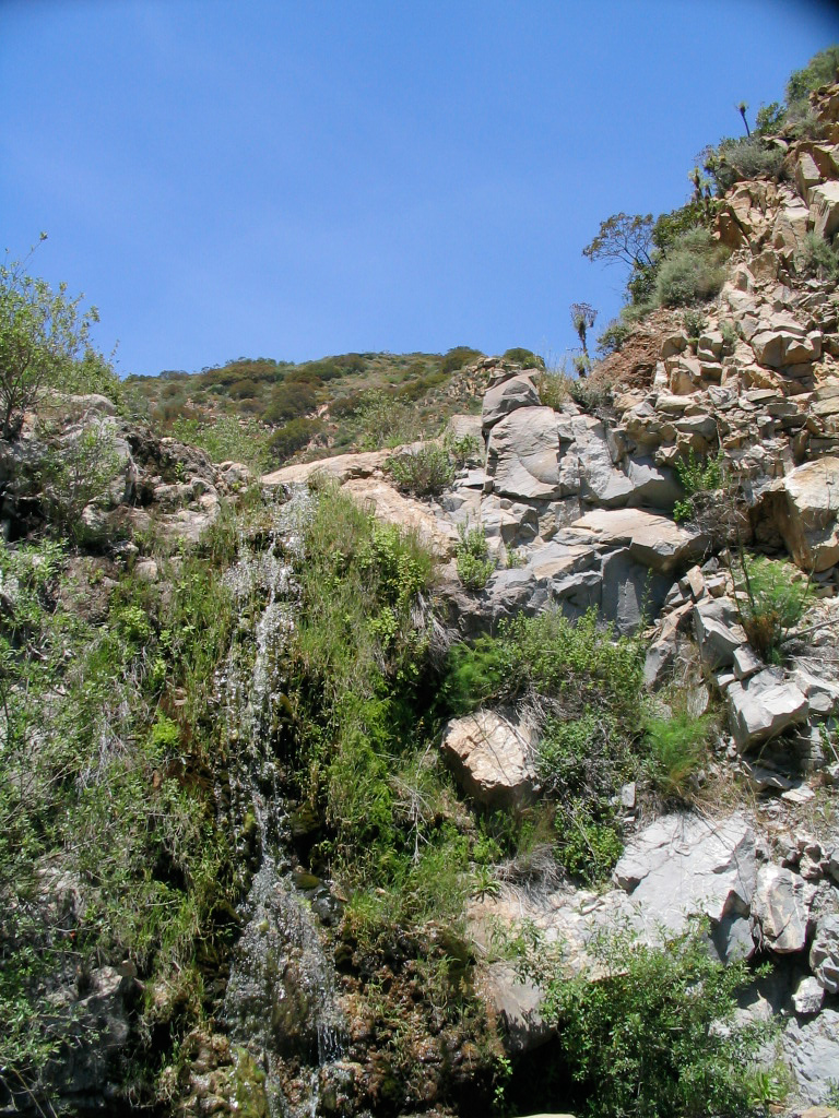
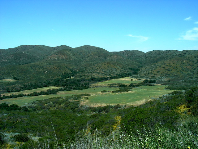
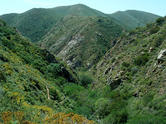
La Jolla Canyon is a beautiful hike in the coastal Santa Monica Mountains. This route features phenomenal flower blooms in the spring, strong sun in the summer, and a small spring and waterfall (during wet years), but the main attraction is a large swath of native California grassland — some of the last remaining in the state. This is a well-traveled area with lots of trail options that can give users in the area an easy couple of hours or a full day excursion.
La Jolla Canyon was one of the first hikes I did when I started “taking hiking seriously.” I remember two things — one, that it was gorgeous, and two, that it was about 100 degrees out and the trail had a total of four shaded areas. I don’t think I’ve ever been covered in more sweat. And so, on a hot, sunny weekend, I figured this would be an appropriate reintroduction to hiking, after being forbidden by my doctor for over a month.
After a long and relaxing drive down the Pacific Coast Highway, you’ll enter Ventura County and pass the so-called “Great Sand Dune.” Across the street from Thornhill Broome Beach is the entrance to La Jolla Canyon. It’s a popular trailhead and a nice campground, too – so it’s very clearly marked.
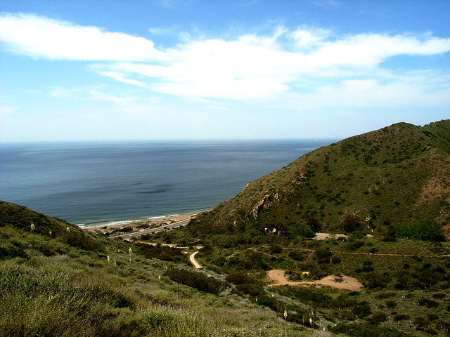
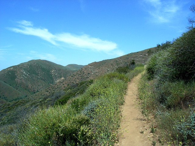
This trail will slowly wind and switchback its way up the mountain, in full view of the Pacific. Its 2.7 miles — like the rest of the trail — are not shaded, but it’s nice to get the bulk of the elevation gain done with at the beginning of the journey.
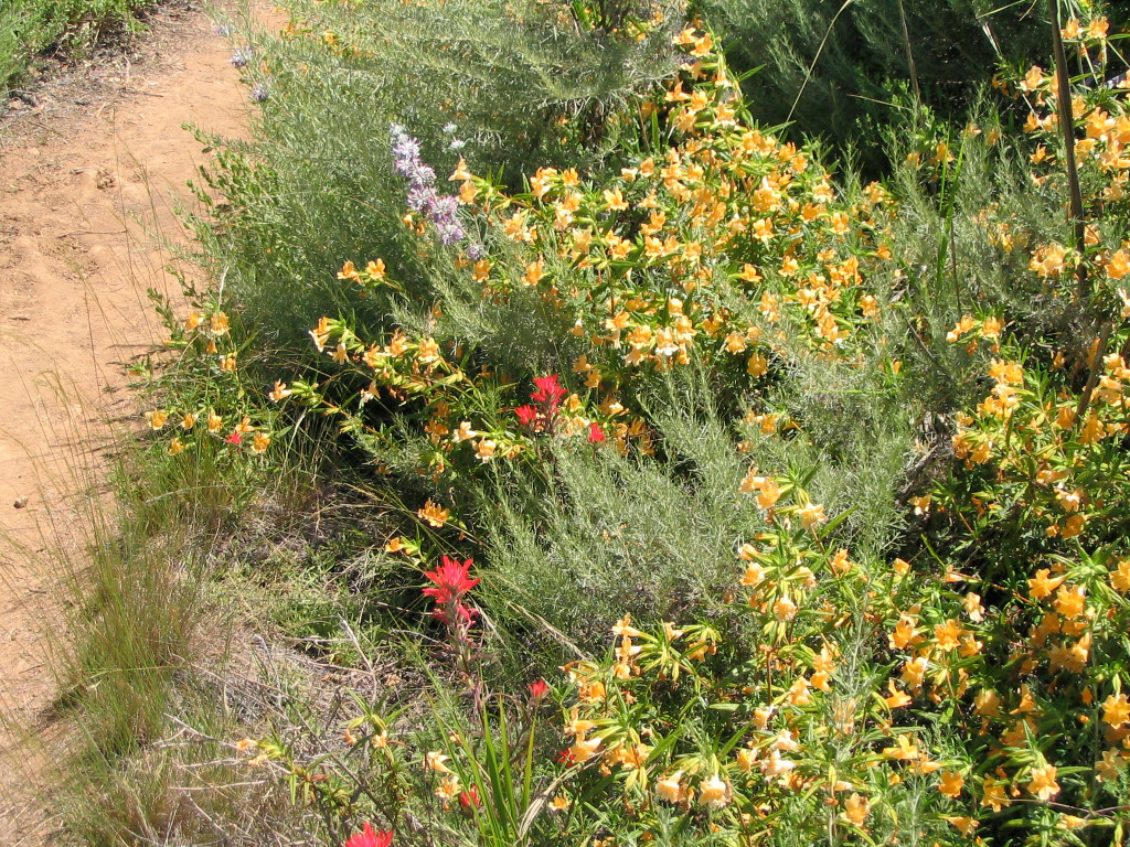
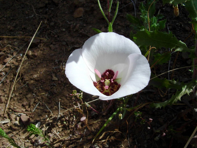
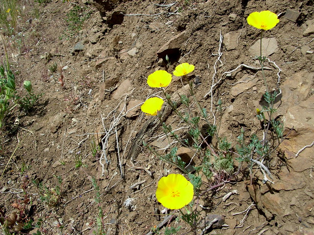
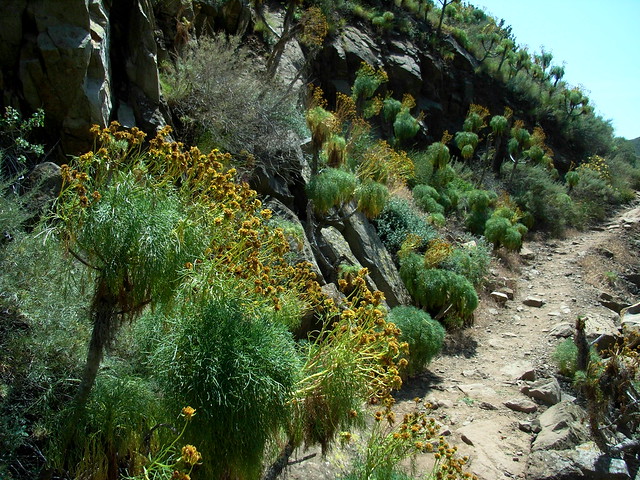
And while you’re climbing the trail, you’ll have plenty to look at — especially if it’s spring time. This place is absolutely teeming with wildflowers and the animal life that goes with it. Lilies, yuccas, and poppies were blanketing the sides of the path, while swarms of ladybugs and honeybees filled the air.
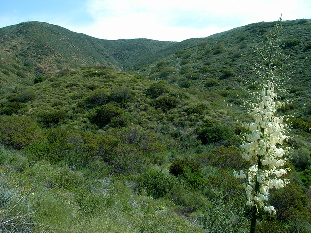
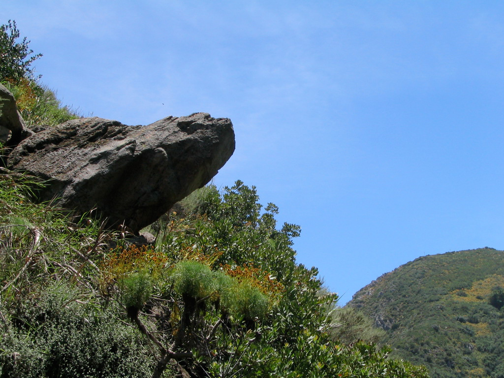
On this trail, it’s tempting to keep your eyes glued to the ground to try to take in all of the colorful blossoms and blooms, but it’s also worthwhile to look up every now and then. You’ll be rewarded with sweeping vistas of the Pacific and the rugged Santa Monica mountains surrounding you.
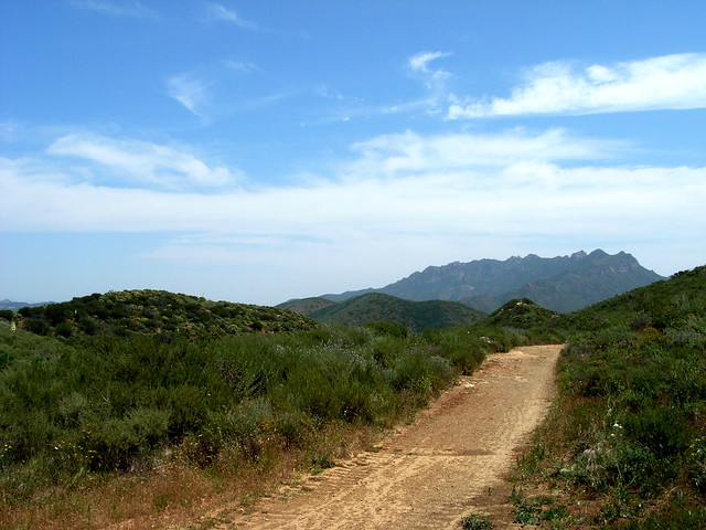
The Ray Miller Trail ends when it intersects with the Overlook Fire Road. Turn left to continue north on this broad fire road as it continues a gradual ascent along a ridge. To the southeast, you’ll have great views over the wide Big Sycamore Canyon with some of the more angular coastal mountains of Boney Ridge in the distance.
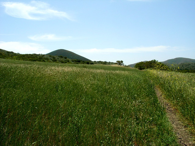
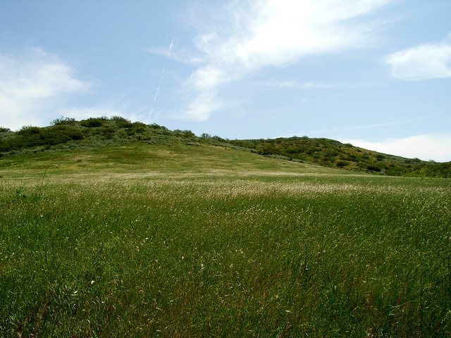
If you take the trip later on in the summer, this sea of green will turn golden — and will give you an idea of what Ms. Bates was thinking of when she wrote about “amber waves of grain.”

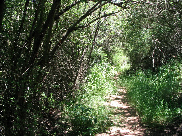
The trail continues south, passing a small, swampy pond along the way. When I did this trail a few years ago, the water was flowing up and over the trail itself, but this time, the pond was nearly empty. It is enough water to nourish large clusters of poison oak, though, so watch your arms and legs while trekking. But this is by far the shadiest stretch of the entire route — so if it’s hot and sunny out, be sure to enjoy it.
In no time, you’ll find yourself back at the trailhead. If it’s during the warm months, you’ll probably be out of water and covered in sweat. Although the ocean is tantalizingly close, the beach right across the PCH from the trailhead is all rocks. There are plenty of unnamed beaches on the way back south toward L.A. Just pull your car over on the side of the road and crawl down the rocks to chill out in the sand and cool water. It’s a great way to cap off the day.
Tags: Backbone Trail, Hiking, La Jolla Canyon, Los Angeles, Malibu, Point Mugu State Park, Ray Miller Trail, Santa Monica Mountains, Thornhille Broome Beach, Ventura County