For an easier trail introduction at Rocky Mountain National Park, the Green Mountain Trail to Big Meadows has a lot to love. It’s accessible from the usually less-crowded western entrance, has some truly beautiful scenery, can be a nice jumping-off-point for larger adventures, and doesn’t have a ton of elevation gain … which is nice when you’re still acclimating to the already-high elevation of the park.
Begin at the Green Mountain Trailhead, a moderately sized developed trailhead on the east side of Trail Ridge Road. Because this is the starting point for a variety of routes – including some overnighters – don’t be discouraged if there are a lot of cars parked here when you arrive. The lot was pretty full when I was hiking here but we only passed two other small groups on the trail.
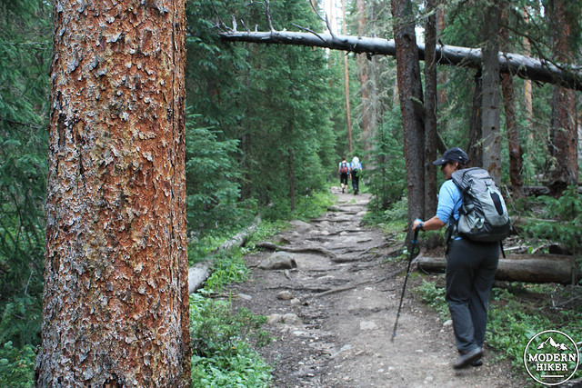
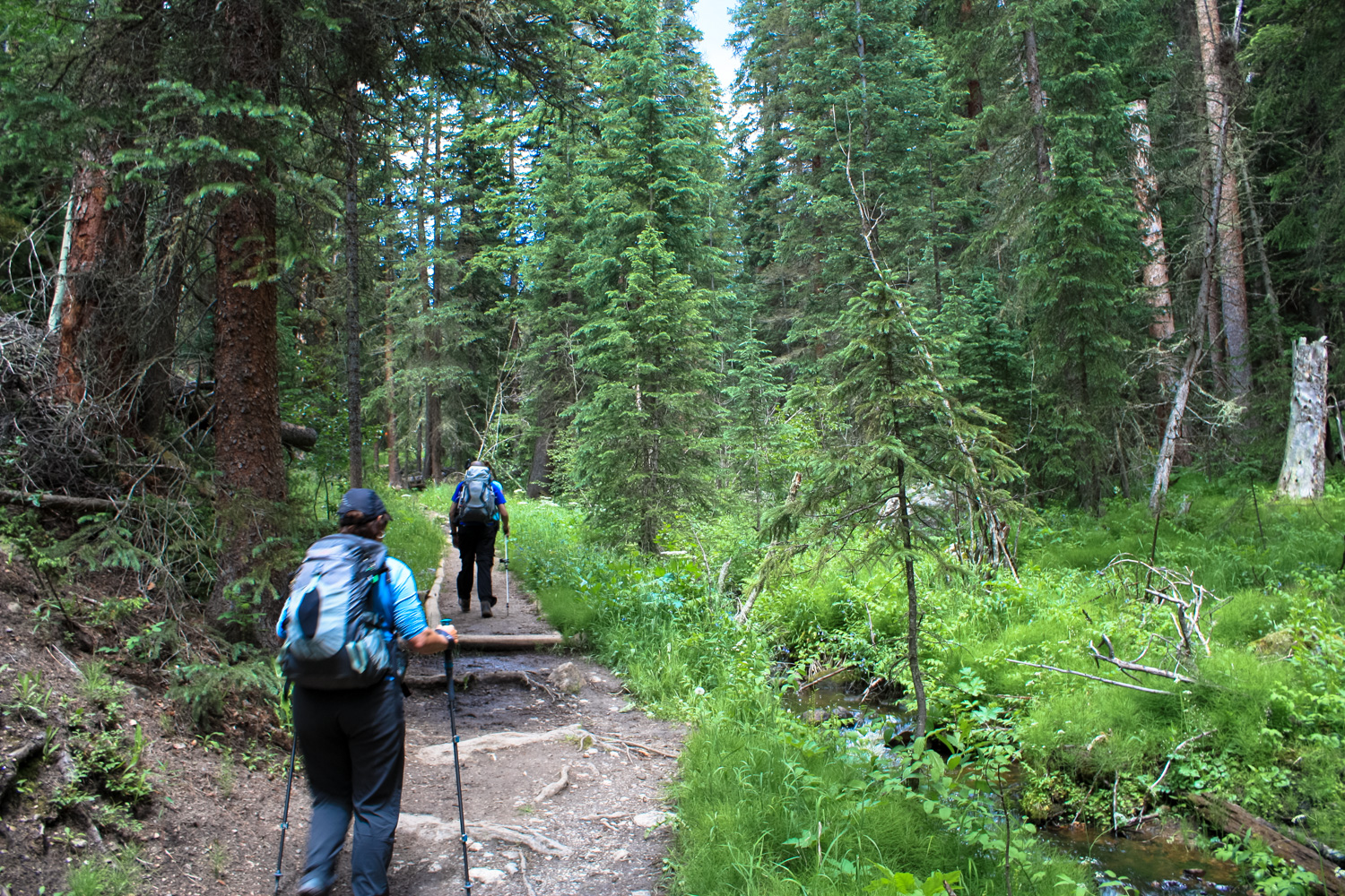
The trail begins on the southeast corner of the lot near a prominent sign and wastes no time starting its climb through the forest. It certainly isn’t a huge gain – but the first half mile or so adds 321 feet of elevation. If you’re in from out of town and aren’t used to the high elevation yet (the trailhead is just under 8800 feet), you may find this little gain a bit more challenging than you’d expect.
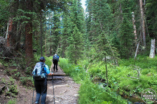
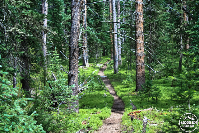
The trail here is heavily shaded and the ‘spring’ blooms often last far into the summer, which makes it easy to use a photo opportunity as an excuse to catch your breath if you need to. Dense groves of lodgepole pines keep the trail views narrow for most of your trip, with occasional glimpses into small side meadows along the way.
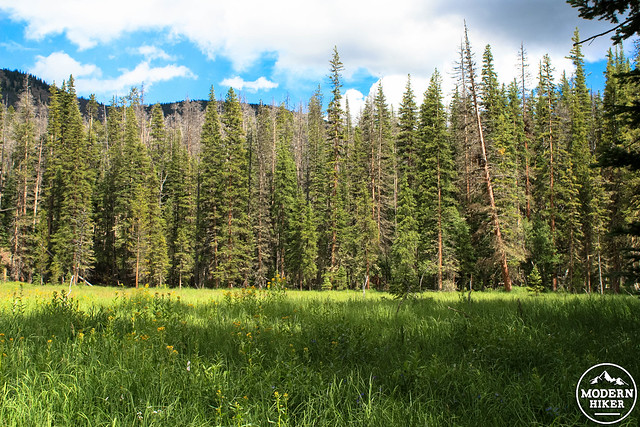
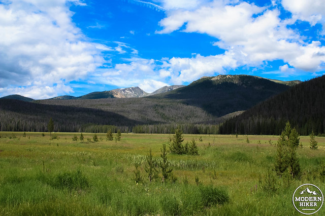
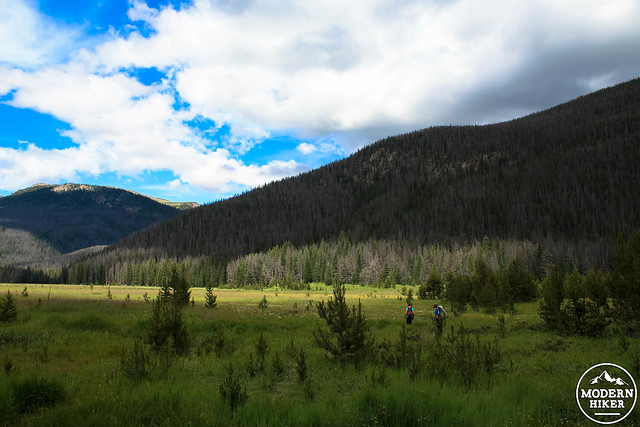
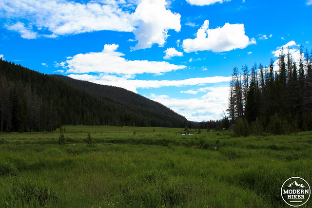
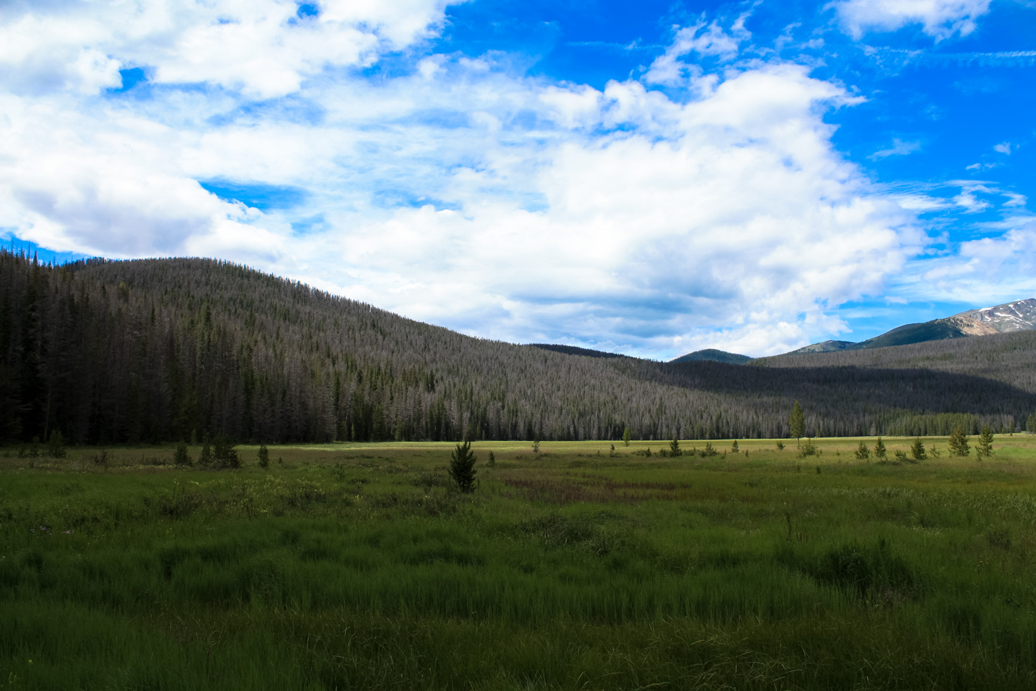
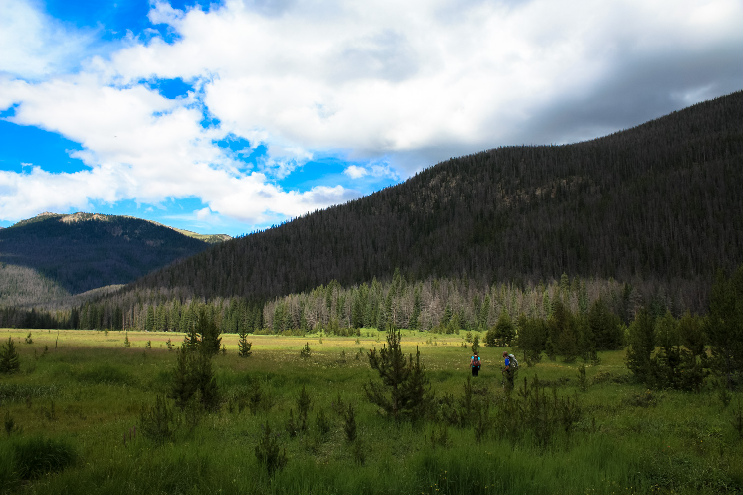
After the 0.5 mile mark, the steepest elevation gain is over with. There’s still a bit of climbing afterward but it’s significantly easier. At about the 0.8 mile mark, the trail hops (or sloshes through) the drainage of a side creek as it continues east. At 1.4 miles, the trail makes its way through another marshy area as it leaves the creek bed. Just before the 1.6 mile mark, the trail starts a short descent before reaching a trail junction at 1.8 miles. The trail splits north-south here – to the south, a trail heads to the summit of Green Mountain and a nearby backcountry camp (permit required). To the north, the Tonahutu Creek Trail skirts the edge of Big Meadows and heads toward Granite Falls to the northeast. You can also just head directly into Big Meadows from the trail itself, which is what we did. Coming out of the dense forest and into a wide-open meadow is one of those amazing alpine hiking moments that really never stops getting special, no matter how many times you experience it. Here, the meadow is surrounded by forest, which are capped and framed by beautiful gray peaks in every direction.
You may note that many of these thick strands of forest – both here and in many other parts of the state – have huge swaths of dead or dying trees in them. This is due primarily to a dramatic increase in bark beetles, which are ravaging trees all across western North America. Under normal conditions, bark beetles can be kept in balance by defenses in the trees themselves and killed by cold winter temperatures – but changing climate has made it tougher for the trees. Warmer temperatures mean the beetles have a longer season to chew away at trees, and drought has weakened trees that might otherwise be able to withstand the attacks.
Enjoy the views in the meadow, or feel free to explore along the creeks that meander through its reaches. This is an excellent place to spot wildlife – and moose are known to frequent the area. If you want to stay a while, the Big Meadows Campsite is just to the east from the trail (permit required).
When you’re done enjoying the views, return back the way you came.
Tags: Backpacking, big meadows, Colorado, rocky mountain national park, wildflowers


