Strenuous

Fox Mountain

Distance 12.1 mi
Time 8 hrs
Elevation Gain 2998 ft
Season Spring, Summer, Fall, Winter
Hike Info Hiker Info
Weather

A long, strenuous hike to one of the more remote peaks in the western Angeles National Forest. A great cool-weather route with some challenging sections of scrambling, this hike is an exercise in mental drive — and offers pure seclusion and solitude amid the mountains for those willing to make the effort.

NOTE: This trail was heavily damaged in the Station Fire but has been reopened as of May 24, 2012. Trail conditions may have changed significantly from the following write-up.

A little while back, I hiked Trail Canyon to Condor Peak, with the hopes of adding a few extra miles to the trip and bagging Fox Mountain, too. Unfortunately, after hiking 8 miles in hot weather, we didn’t think we had it in us to bag another peak and make it out in anything resembling decent shape. This week, I decided to give it a go from another angle.

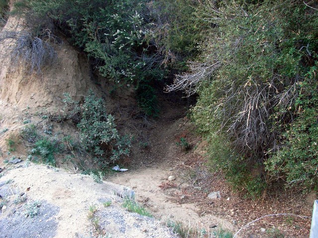
From the various guide books and forum postings I’d read about Fox Mountain, the trailhead seemed difficult to find. Upon arriving in the area I can now say that yes, this trailhead IS pretty difficult to find.

After a short peek over the side of a small canyon – no luck – I finally stumbled on what I thought, maybe, was possibly the trailhead — a rough clearing in the brush by the side of the road. A quick look inside and I spotted a very clear, very established trail that’s otherwise completely hidden. From the road, this is what you’re looking for:

Begin!
So you can see how easy it is to miss this thing.

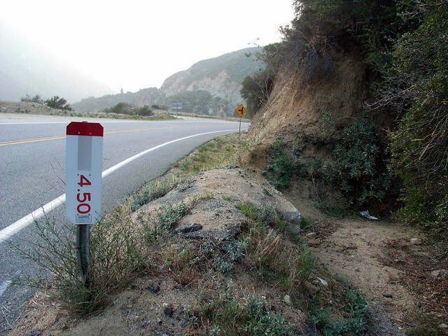
As the directions I read – both in books and online – were pretty unclear, let me do the honors of being accurate. If you’re coming here from the west, park at one of the small dirt lots near the intersection with Vogel Flats Road. Stick to the north side of the road and walk up around a small bend. The 4.50 Marker and trailhead will be on your left. If you’re coming from the east, the the trailhead is to the immediate right of this sign:

Trailhead Marker
What looks like a drainage ditch is actually the trail, and once you get on it you’ll be completely surrounded by brush and fragrant chaparral. Enjoy it. It’s the most shade you’ll get on the entire hike.

Opening Trail
The first 0.4 miles of the trail wound its way mostly parallel to Big Tujunga Canyon Road, although it stuck far enough above the pavement so that I could easily just look in any direction and pretend I wasn’t almost roadside. The trail seemed to be in pretty good shape, especially for being one that’s so difficult to find in the first place.

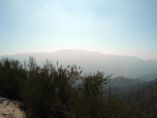
As the opening section wasn’t really anything to write home about, and the Main Event still so far in the distance, I just put my head down, got a good rhythm going, and pressed on into the forest.

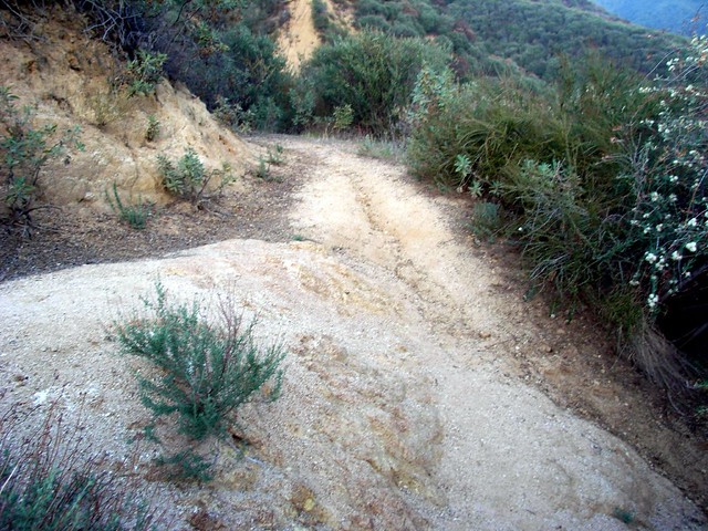
When you get to this junction around the 0.4 mile mark, look for the trail that ascends instead of descends.

Trail Junction
So you can see that this, too, is very easy to miss. When you see this, do NOT continue straight. Although it looks like a trail, it’s actually just a firebreak that makes a very steep ascent but doesn’t actually go anywhere. Heading straight will take you on the old Condor Peak Trail toward the original trailhead … which is back down at Big Tujunga Canyon Road. Instead, take a hard left to continue toward Fox Mountain.

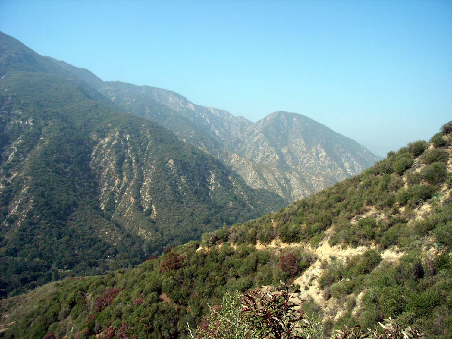
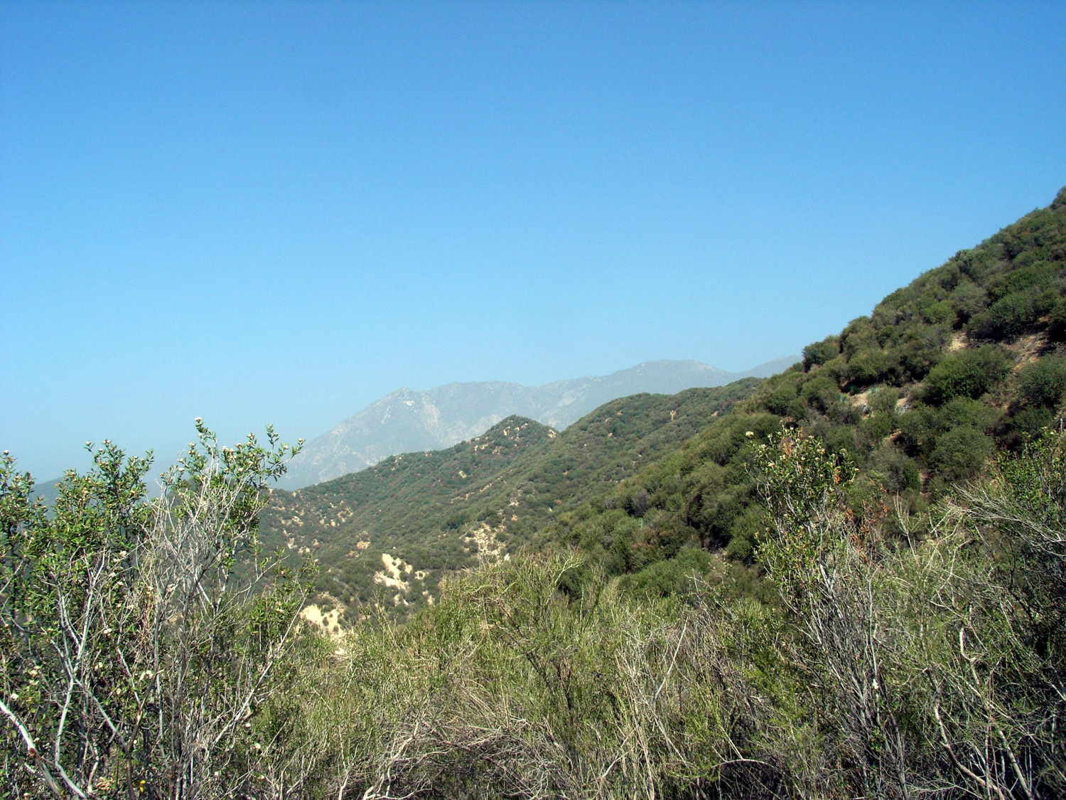
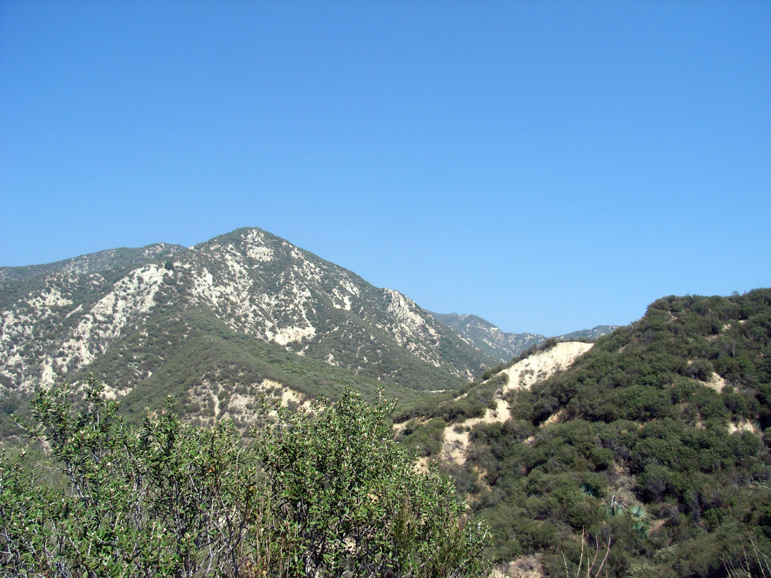
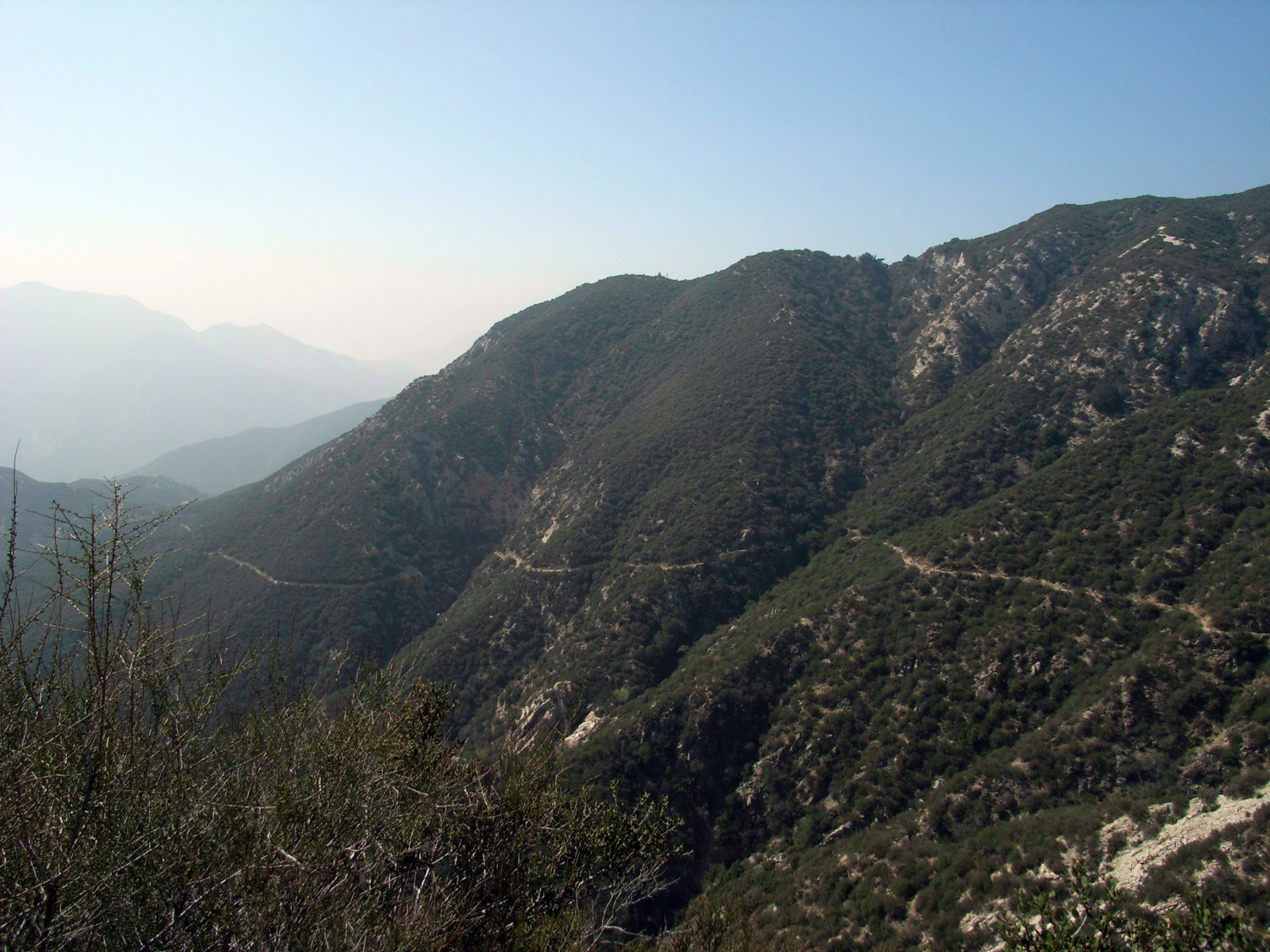
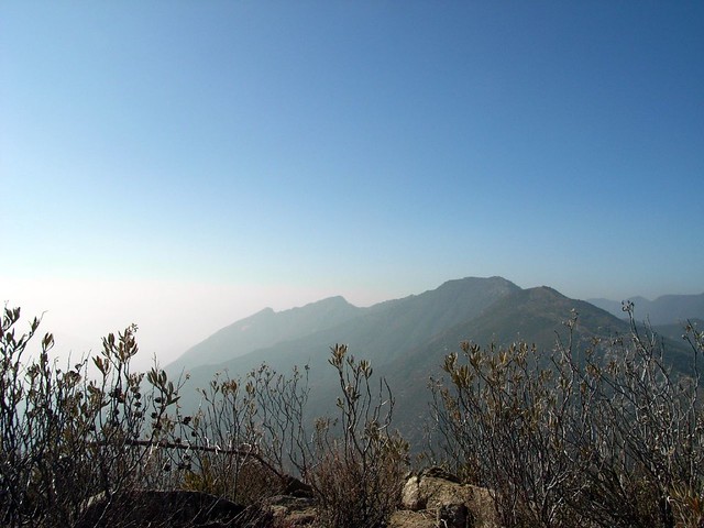
At a fast pace, I hiked up to a numbered mileage marker and looked around. To my left, the long ridge of Condor Peak rose through the haze.

Condor
While to my right, a very distant Fox Mountain jutted out from behind several different ridges. This was going to be a long one.

Fox Mountain 009
And so, after psyching myself up for a few minutes – and realizing that having a broken camera strap was going to prevent me from having an easily-accessible camera for pictures, I decided to try to make this trail a bit more of an exercise in speed. If I kept up my usual speed of 2.5-3 miles an hour, I could make it to the peak and back as the sun set. Sounded like a challenge. Sounded like a good hike.

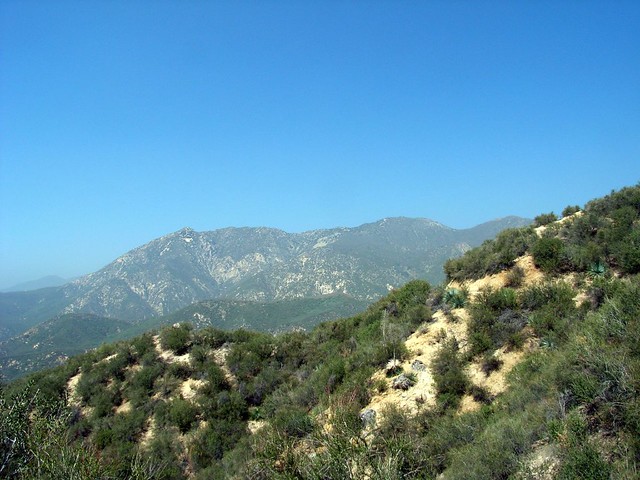
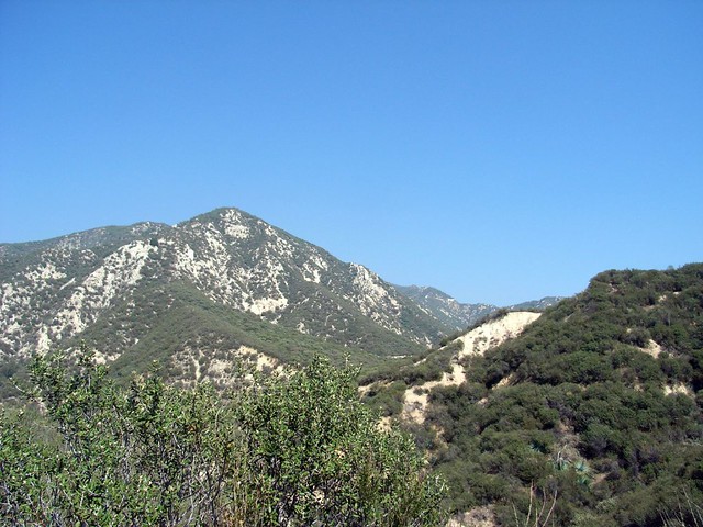
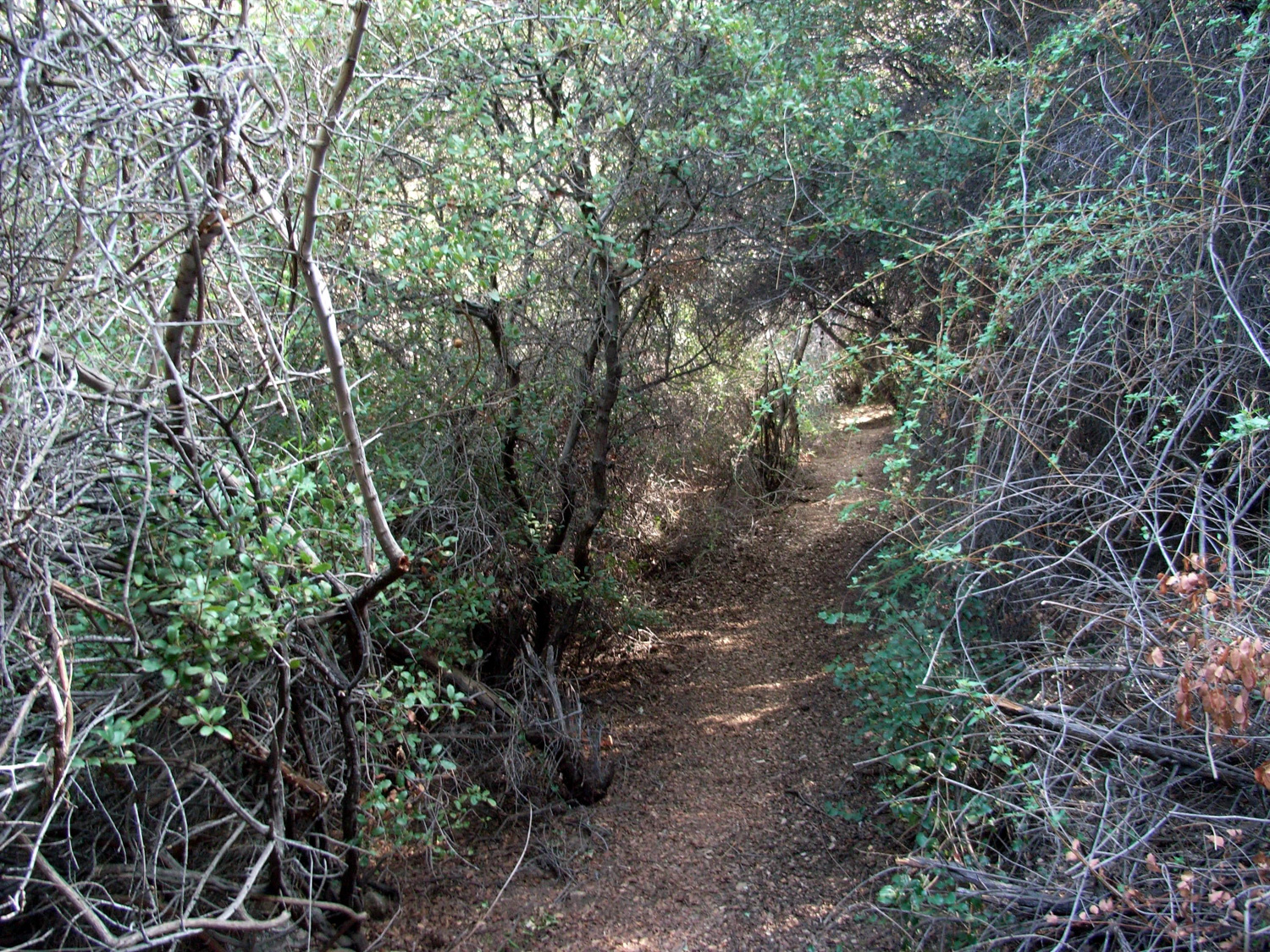
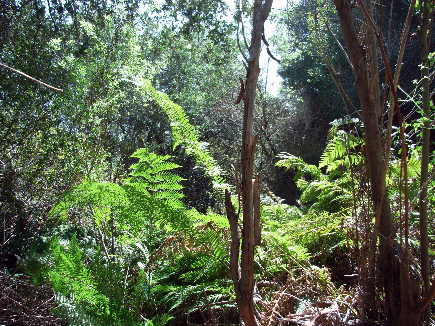
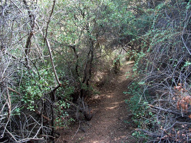
I trekked on in the full sunlight, happy it wasn’t too hot, winding my way through the typical brush and shrubs of the lower elevations. The trail was clear, and only occasionally rocky – and the trail is constructed very well. Although you’re steadily gaining incline you probably won’t notice it all that much due to the gentle grade.

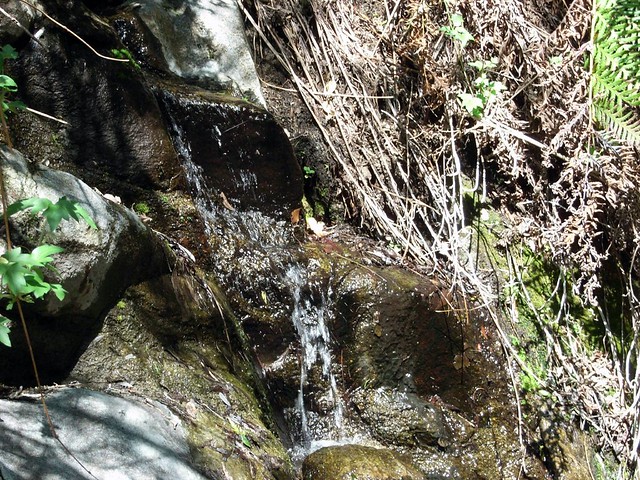
About 2.5 miles in, I could hear the gentle trickle of water flowing from somewhere below me. And as the canyon rose to meet the trail over the next 0.4 miles I found a small but flowing spring pouring out of the side of the mountain. The water cascaded down through several small pools before trickling across the trail and down to the canyon below.

Spring
And amidst the dry scrubland, this spring turned the area for about a 20 foot radius into temperate rain-forest: ferns, vines, thick green canopy – the whole deal. It was a great place to stop and have a quick bite before heading back toward the peak.

Ferns
A bit farther up, I paused to take in the view of the long and winding trail latched on to the side of the mountain. I’d come a long way so far, but still had quite a ways left to go.

Long Trail
While the skies above me were clear blue, the haze was really starting to move into the valleys by now. Mount Lukens – a visual straight shot across the canyon – was almost unnoticeable. But with Fox Mountain still a few miles away, I kept pressing onward.

Lukens
The trail (finally) crosses the south face of Fox Mountain at the 5 mile mark, and it teeters perilously on the edge of a sharp dropoff on the peak’s western slope at around the 5.3 mile mark. It’s still very manageable, even with the two rockslides that completely cover the path. Just take your time.

After that, it was a short (but still long-feeling) round the bend to the final stretch. You’ll reach the final use-trail at the 5.5 mile mark. The first thing you’ll notice is how steep the final use-trail is — about 500 vertical feet in almost as short a distance.

Steep.

If you brought trekking poles, you’re really going to appreciate having them on this stretch of trail. It’s possible to hike up without them, but it’s much easier to make it with a little bit of assistance.

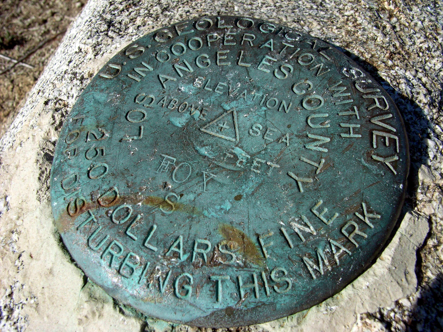
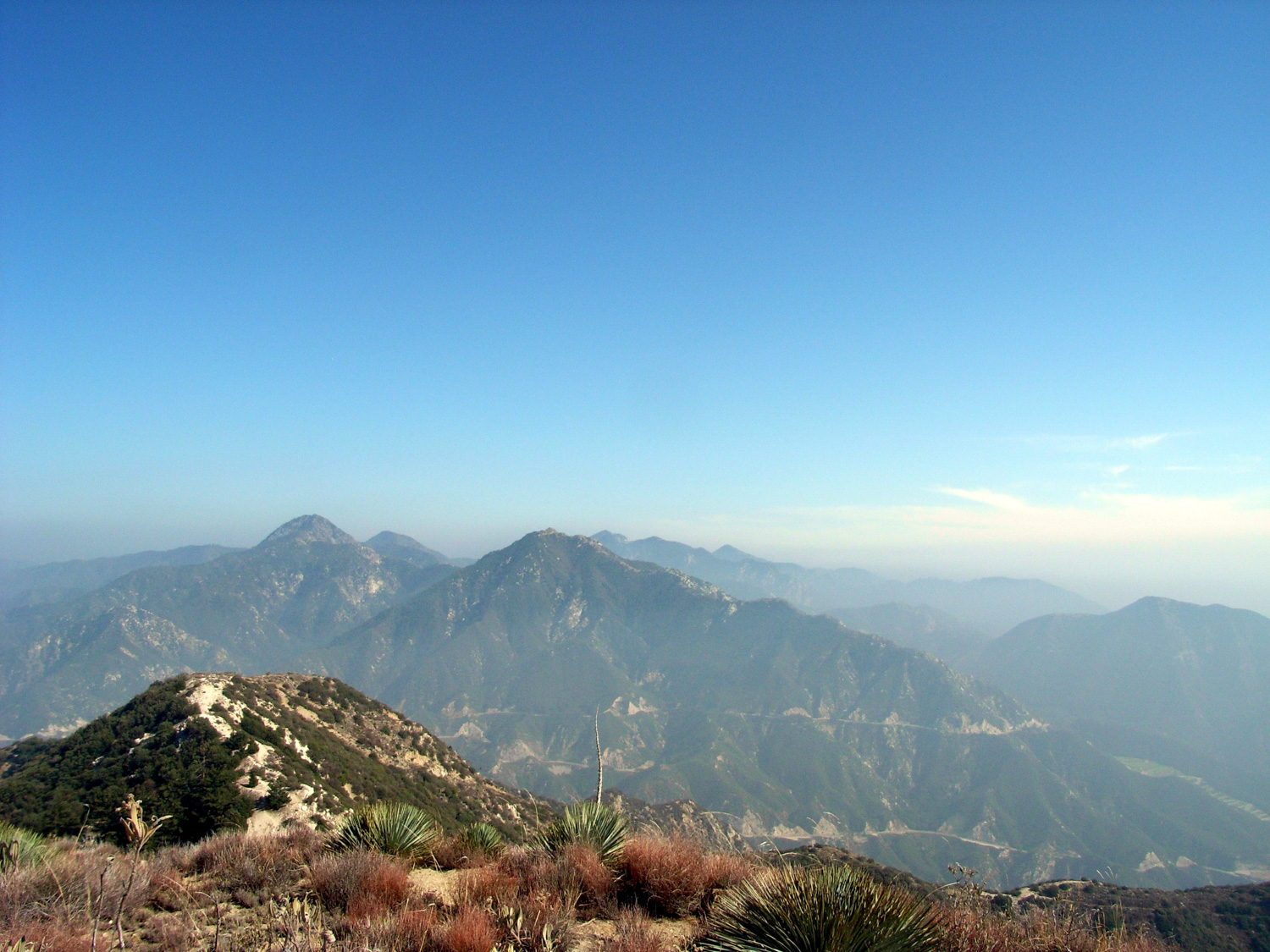
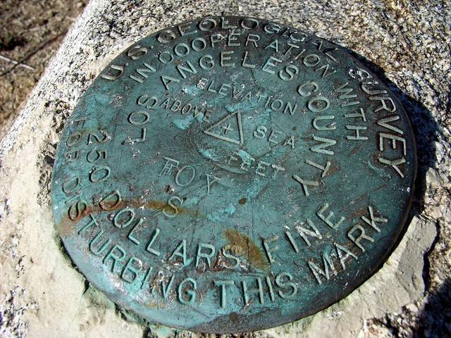
I dug into the soft ground and hauled myself up to the summit, where I instantly threw off my backpack and sat on some stones near the marker.

Marker
The haze was thick, but the views were still worth the journey, and I gazed eastward at the obscured San Gabriels as my limbs enjoyed their brief moments of rest.

Condor from Fox
Eastward

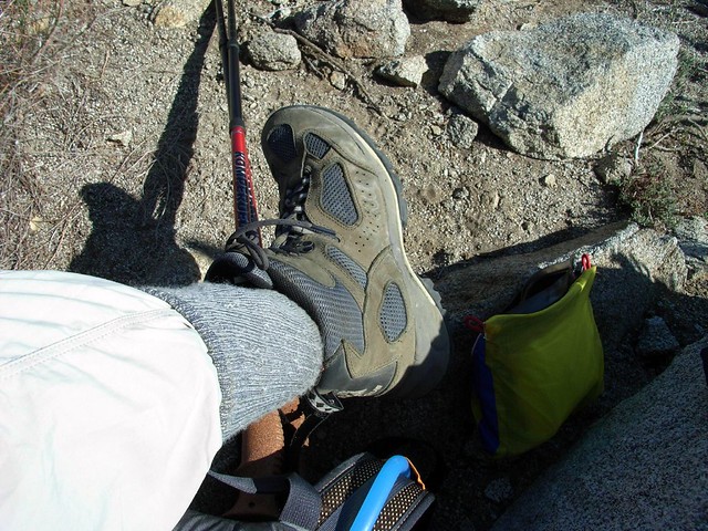
I searched through my pack and pulled out a Fuji apple – nature’s finest edible reward. As I nearly-inhaled the apple, I noticed a small dark mark on my left ankle. Peering closer, I confirmed my worries — it was a tick, and it was already lodged in my skin.

Tick!
All things considered, I’ve had an unreasonably good track record with these things. I lived in the Home State of Lyme Disease for 22 years without ever getting a single tick bite. That said, I also didn’t go outside much, which probably had something to do with it. But all that school-sponsored fear-mongering paid off. I knew exactly how to remove the little bloodsucker, and after a few nervous attempts to surround its head with tweezers, it actually came out pretty easily.

I know you’re supposed to hang onto these guys just in case, but I’ll admit I panicked and dropped it directly on my other leg, where it was taken care of with some frantic finger-flicking.

Needless to say, I adopted the New England Sock Style for the descent. Even though it looks ridiculous and it sure isn’t comfortable when it’s hot out.

New England Fashion
The return trip was quick and straightforward, with just a slight bit of limping toward the end. When I got to my car, a last-ditch pant check netted about four more uninvited friends crawling around various nooks and crannies on my pant legs. Persistent little guys.

Oh, and I got back just in time for the sunset.

Tags: , , , ,

Accommodations near Fox Mountain

Trail Conditions

Good - provided you manage to find / stay on it. There were a few areas of rockslide damage near the summit when I hiked this. Three considerations: 1). The trailhead can be difficult to spot. 2). The correct trail to Fox Mountain is very easy to miss if you're approaching from the west. 3). The use trail to the summit of Fox Mountain is very steep. Even with trekking poles, use caution and take your time. The trail from the "eastern trailhead" is much more overgrown than the one coming from the west.

Download GPX

Download KMZ/KML

How to Get There

From the 210, take the exit for Sunland Blvd. Head east on Sunland for 0.7 miles as it turns into Foothill, then turn left onto Oro Vista. After 0.9 miles, continue on Big Tujunga Canyon Road for 6.7 miles. Park on the side of the road just past Vogel Flat Road. The trailhead is on the north side of the road across from a small dirt pull-out, but can be very difficult to spot. Look for the 4.5 mile marker on the north side of the road.

Driving Directions

Use the ModernHiker mobile app to download this map and complete trail description for offline access.

Download Details & Map