A long-distance trail, his hike has just about everything that makes hiking in Southern California great. Stream crossings and boulder scramblings, sycamore groves and chaparral, shady canyons, waterfalls, mountain peaks and more. And you don’t even have to hike the whole way to see it.
NOTE: This trail was heavily damaged in the Station Fire but has been reopened as of May 24, 2012. Reports from hikers and trail crews have consistently said the trail is currently only passable to just a bit north of Trail Canyon Falls. Beyond that, the trail to Condor Peak has all but vanished. Only attempt this if you have excellent routefinding skills and are OK with basically bushwhacking on an unmaintained trail that has essentially been abandoned.
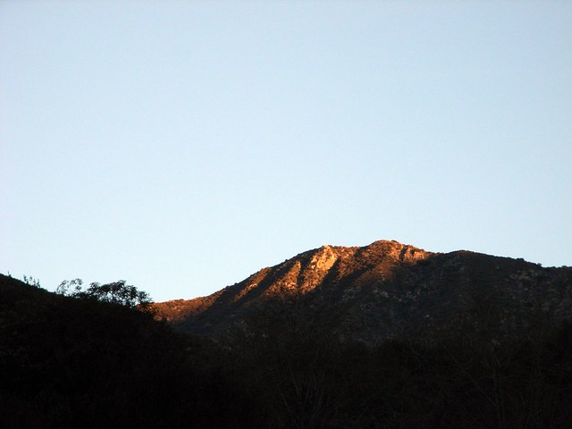
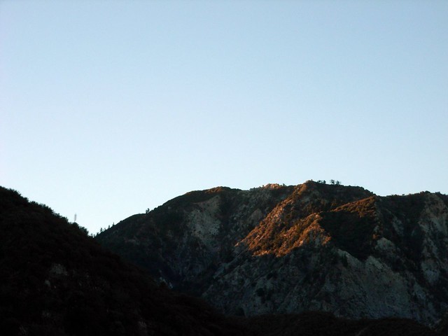
Shortly after 6AM, my friend Will and I were suited up and cruising through the otherworldly trafic-less-ness of the San Fernando Valley. We’d reached the trailhead by about 6:35 – much earlier than I’d expected – and made our way in as the first beams of sunlight illuminated the peaks around us.
I cut my teeth on some simple hikes in the Santa Monica Mountains and an easy summit in Joshua Tree earlier, and I heard there was a nice waterfall up on this trail. My first stream crossings were overly cautious affairs, and I didn’t do much other than hike about 3 miles in, lounge around the waterfall for a while, and hike out. 6 miles was a very big deal back then.
Not anymore.
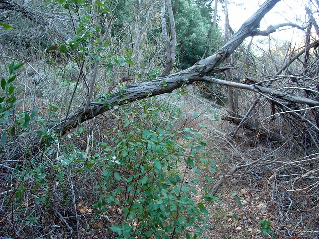
The light was low, but the trail came back to me as we crossed the small-but-steady Trail Canyon Creek and made our way over a handful of stream crossings, the stream providing a gentle gurgling white noise that accompanied us for most of our way along the canyon floor.
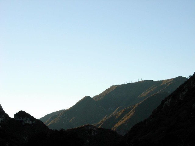
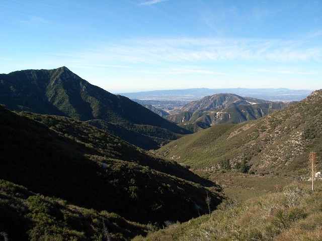
Every once in a while, as we slowly gained elevation, we had to turn back to see the mountains unfolding before us in the daylight. You usually only get that treat when you wake up on-time after camping.
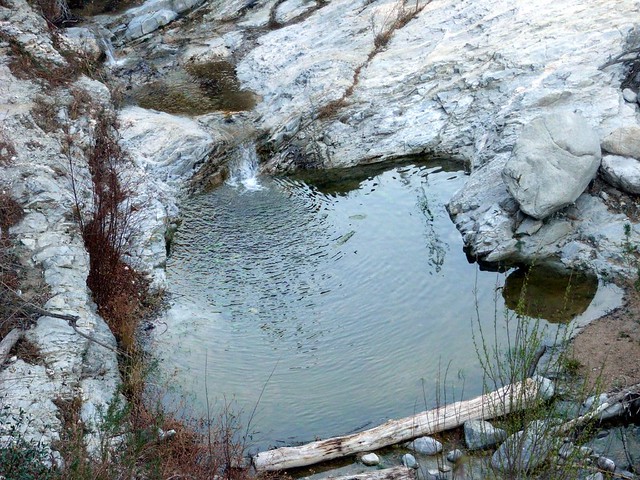
The hike from the trailhead to the falls is a clear, easy-to-travel route. In the spring, the 40 foot waterfall gushes and tumbles almost out of nowhere. It’s a surprise when you first see it, because you’ve just come up out of some hot, dry, canyon sides – far from the cool water. For us, the waterfall was light, but still flowing. We pledged to stop on the way back, because we didn’t want to use up any time or get lulled in by the water – which is very easy for us.
 >
>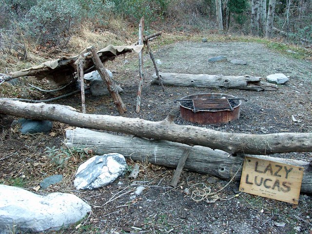
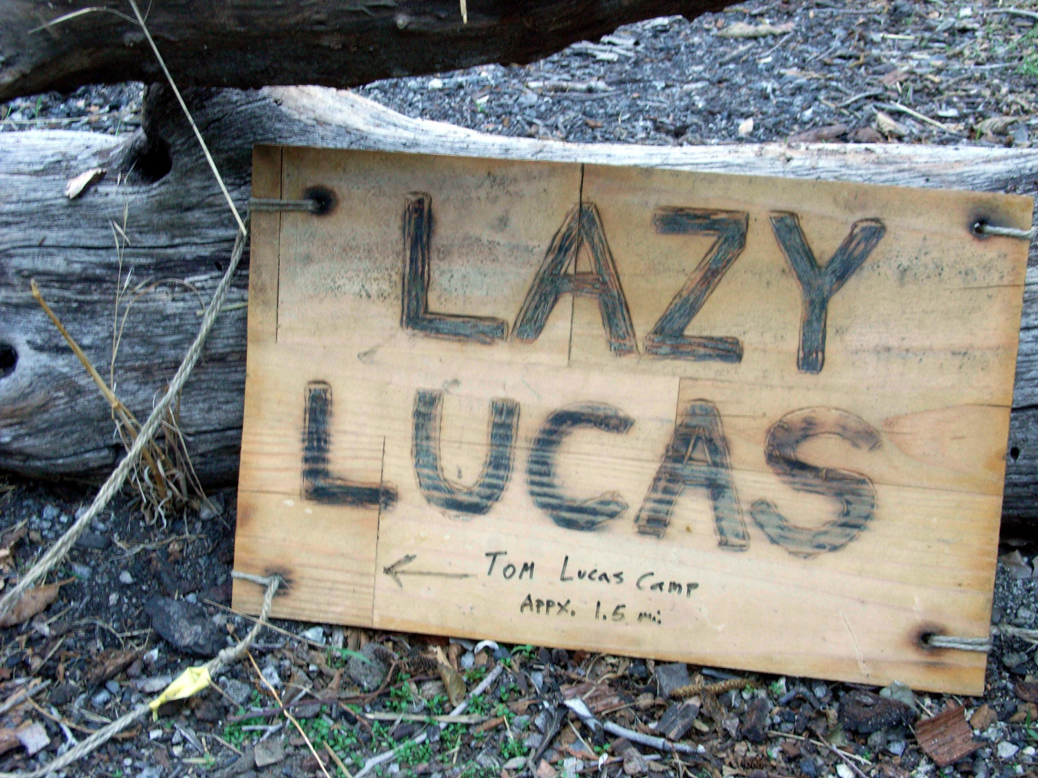
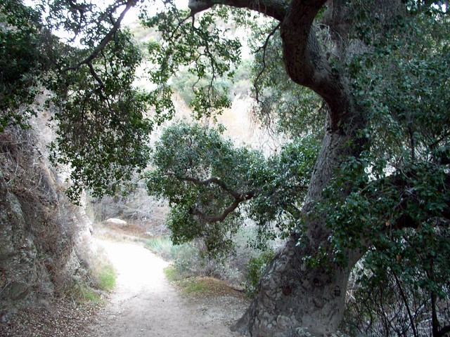
The trail along the way was almost completely shaded by sycamores hugging the creek, so it was nice to hit a small clearing near the actual Tom Lucas Camp around 3.8 miles in. This camp had several stoves, as well as picnic tables and room for a small group of tents, but even parts of this camp looked like they’d lost some ground back to the wilderness. Inevitable, I guess.
We sat at the picnic table and had a short breather before moving on through a small, sunny field …
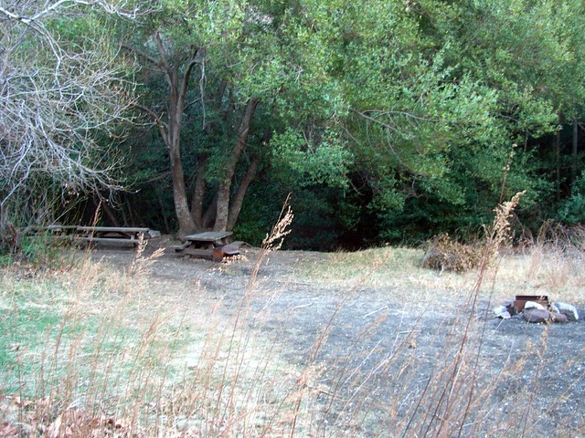
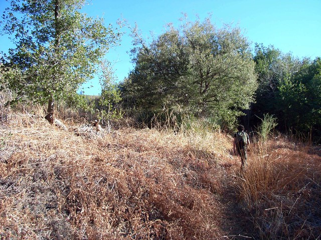
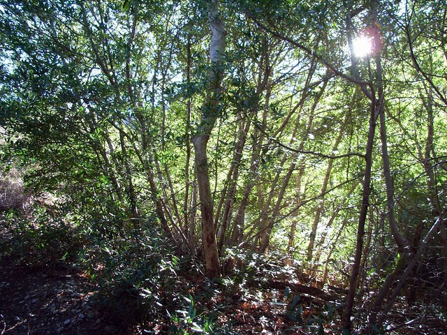
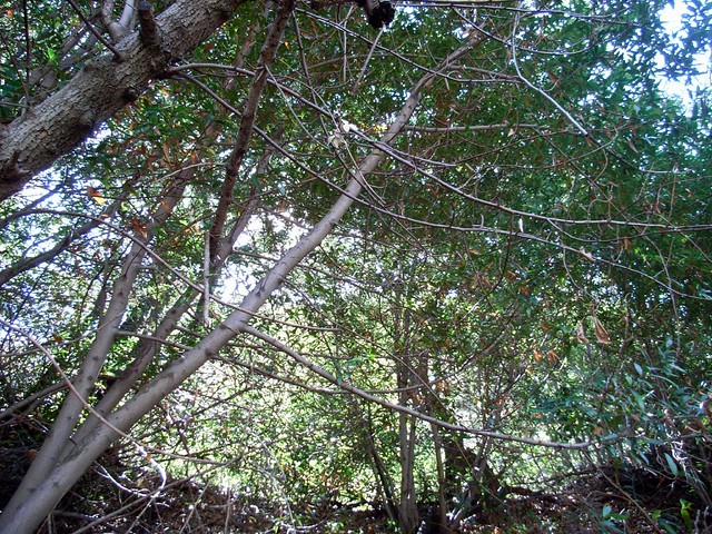
… and into a dense green canopy of trees. Will mentioned the tree cover felt like something out of his old Southern stomping grounds, while I noticed the rocks along the stream had the cracked, layered, glacial look of New England boulders. Either way, it sure didn’t feel like Southern California.
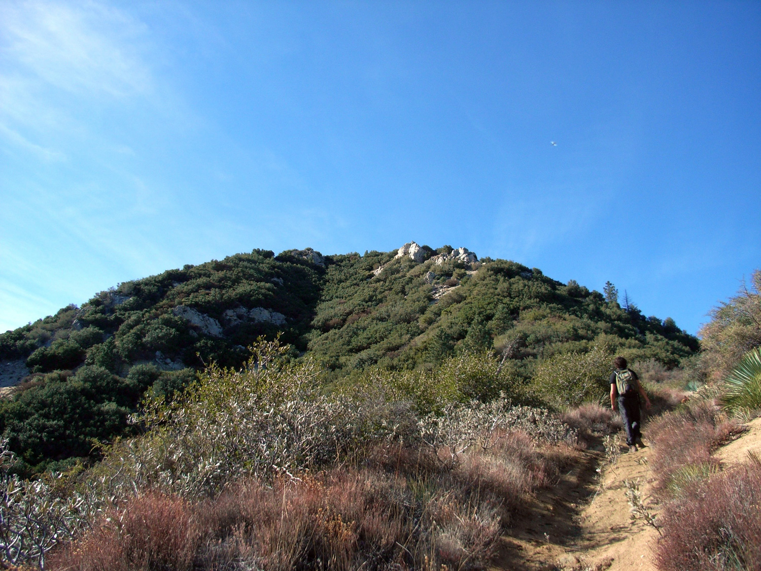
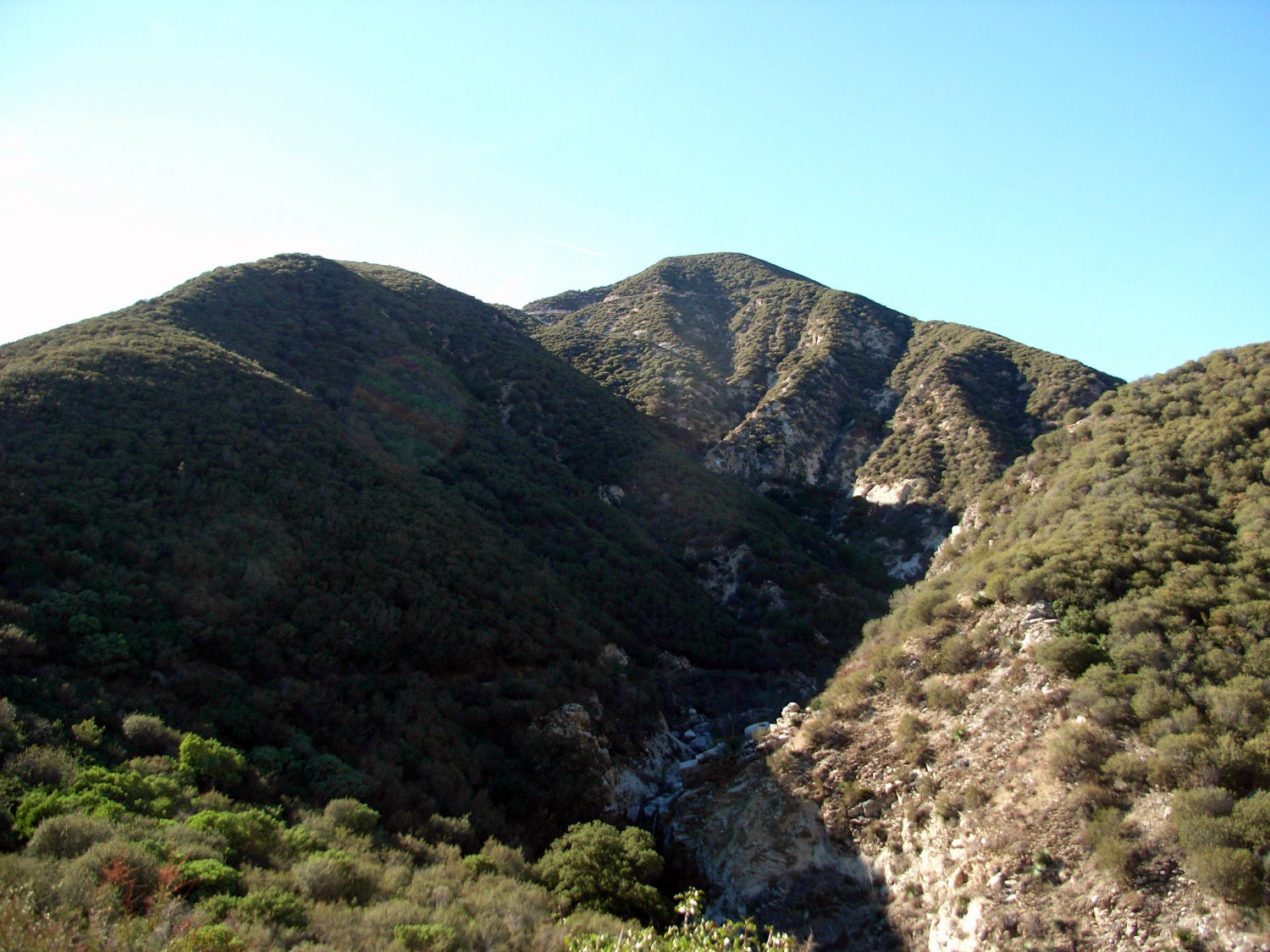
Most maps mark the route between this saddle and Condor Peak as ‘cross-country,’ which usually means an unmarked path, uneven ground, and unkempt brush. While this part of the trail was marked as such it was a clear-cut, wide open route that clearly snaked along the ridge between Iron Mountain and Condor Peak. It’s not a gentle trail by any means – it’s relentlessly uphill with little shade and even fewer stretches of level ground.
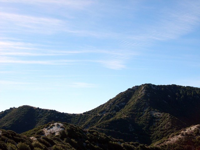

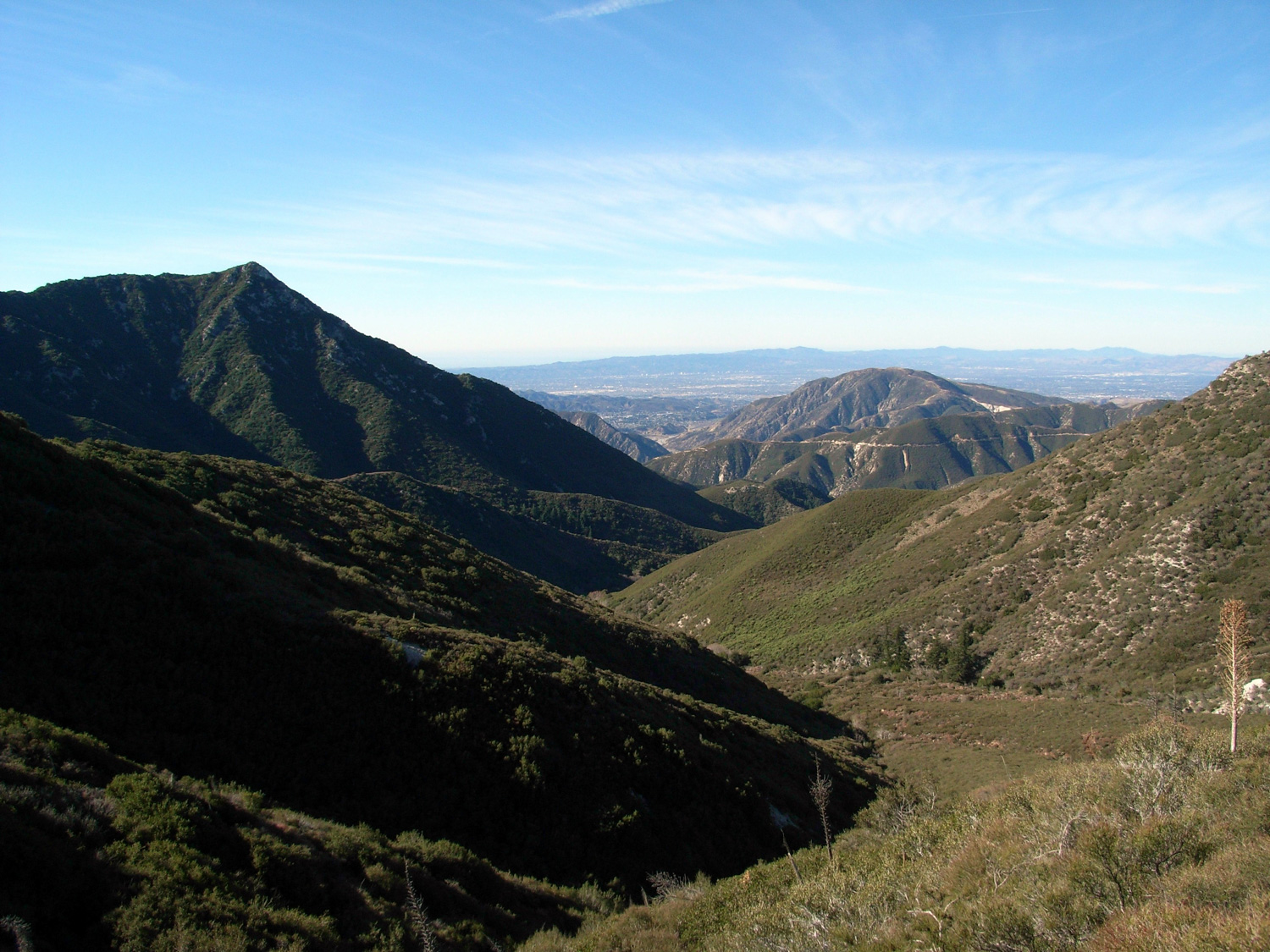
Walking along the ridge did provide some beautiful views of the valleys around us, though. Visibility was great, so we could even clearly make out the buildings and streets of the Valley cities. Without the gentle gurgling of the creek, though, the air up here was unbelievably silent. It’s a bit surreal to see millions of people going about their City Lives down below you and not hear them making any noise.
It does make cities a lot more peaceful, though. That’s for sure. And being able to turn our heads slightly to the left and get healthy visual dose of nature’s empty goodness helped, too.
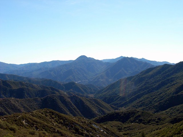
We were starting to get a bit disheartened. Exhausted, hot, tired, and without a trail ascent in sight, we were losing our energy and had reduced our usually steady hiking pace to a halfhearted shuffle.
Even Will’s dog Dingo, who is a usually a reliable source of perpetual energy, looked like she was ready to call it quits. While we were making our way up, she’d run in front of us, find a tiny spot of shade and fall to the ground, panting.
On a shaded spot on the north face near the saddle we theorized would have the use trail, we all joined her in the dirt, eating a mini-lunch and taking in the sweeping panorama of mountains before us.
It’s amazing what a little fructose will do for your attitude. My sagging energy was completely restored, and I was ready to tackle the rest of the hike … I’m gonna have to start packing more apples from now on.
Well, the good news was the use trail to the summit of Condor Peak was right around the corner from us. The bad news was the use trail was a nearly-vertical rock scramble, which our battle-weary legs weren’t necessarily very excited about taking on just then.
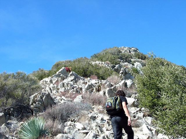
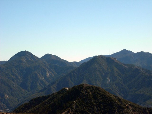
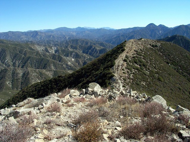
And after taking in the view (and I taking off my shoes), we lounged on some of the peak’s rock outcroppings and indulged in a bit of peaknapping. Incidentally, the only other time I’ve ever done that was at the summit of Mount Baldy.
Rocks have never been so comfortable.
After getting lightly sunburned, we made our way back down the mountainside. We spotted a mountain biker perched on the saddle to our immediate east – the first person we saw since we passed a small group near the trailhead. If you’re looking for some on-trail solitude, this is definitely the place to be.
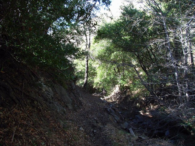
By now, the sun was out and in full force, and it really illuminated the darker sections of the riparian canyon. The shade and cool air near the creek were a welcome respite from the sun-baked temperatures near the peak.
We made good time coming back down, stopping once in a while to let Dingo take a dip in the creek to cool off, or dipping our heads in to achieve the same effect. The mountain biker we saw near Condor Peak passed us on the way down, but other than that, the only other people we saw were at or going to the waterfall.
When we reached the falls, we kept our promise to do a bit of exploring. Hopping across the boulders and carved rock, we followed the stream down a few smaller falls before it reached the big one. The water was much lower than it was the last time I was there, so most of the rocks were dry and left plenty of room to hop across and lounge on.
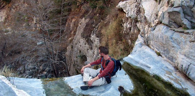
Will took his spot perched on the very edge of the falls, on a rock that split the flow of water into smaller streams to each side of it. I scrambled up alongside the edge to try to snag a shot of the falls and the pool below. It looks like it’d be quite welcoming on a hot summer day, and a bit less accessible (and therefore less crowded) than the more well-known and heavily-heeled Switzer Falls.
Will was digging his perch at the falls’ edge, and invited me to swap places to check out how amazing it was.
He was right. The split stream provided bubbling white noise in stereo, and when a breeze came up the falls, I’d get a light spray of cool mist from below me. A perfect way to pass the time … although obviously I wouldn’t recommend it if the water levels were higher.
Tags: Angeles National Forest, condor peak, Hiking, Los Angeles, tom lucas trail camp, trail canyon, Trail Canyon Falls, Trail Write-Ups, waterfalls


