On July 5th, 2011, a 16 year-old man died after falling 80 feet into the swimming hole at Cedar Creek Falls. Two days later, the trail from Ramona was closed and remained closed for two years. On July 9th, 2012, a 19 year old woman was found unconscious on the Cedar Creek Falls Trail approaching from the Julian side. After medevac lifted her out to Palomar Hospital, she was pronounced dead from heat stroke. At one point, the County’s emergency services were rescuing 3-4 people per week, and sometimes the total was higher. After years of complaints from nearby residents of drunken hikers peeing in their yards and the county’s rising costs of emergency services, all agencies and the locals decided something needed to change.
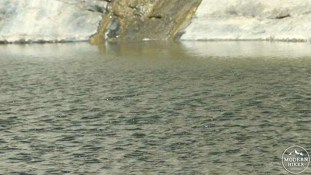
The cool, tranquil waters below the falls
The Forest Service re-opened the Cedar Creek Falls trail from Ramona in May of 2013 against the protests of the surrounding neighborhood. As part of their efforts to make hiking the falls safer and to avoid further harassment to local residents, they instituted a permit system in conjunction with Recreation.gov. The 75 person per-day limit is designed to eliminate overuse, while the permit system ($6 at time of writing) is intended to slow people down and encourage use from folks who come prepared, both physically and logistically. Furthermore, NFS rangers, volunteers, and local law enforcement now patrol the trails regularly, and there are stiff fines for anybody jumping off cliffs, drinking alcohol, and hiking without a permit.
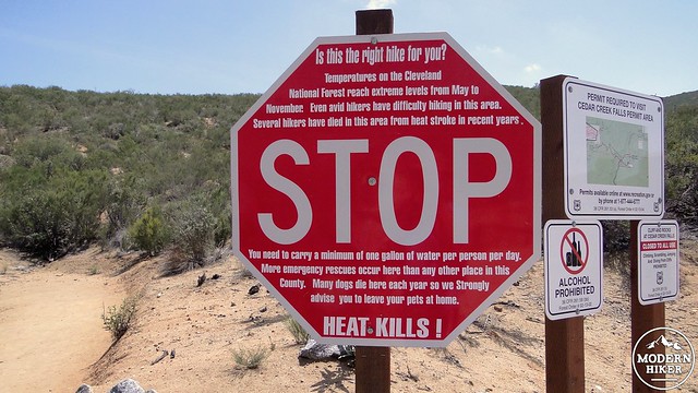
Warning signs at the trailhead
Cedar Creek Falls from the Ramona trailhead is not a particularly long hike. Nor is the elevation gain particularly daunting to the conditioned hiker. Like the Grand Canyon, this hike is inverted with the uphill occurring at the end. And also like the Grand Canyon, there is almost no shade to be found on the trail. And even moreso like the Grand Canyon, the gorge is hotter than the trailhead, which means that it’s easy to stroll down the hill, splash around in the cool water, and think that you’re having a nice relaxing day in the wilderness. However, like the Grand Canyon, you will have to come back up one way or another. If you are prepared with adequate water, snacks, and conditioning, you’ll enjoy your hike. If you’re not prepared, there’s a good change that you will experience challenges.
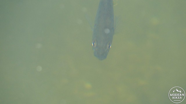
Fish in the pool
But with all of the precautions and red tape, also know that this is a beautiful hike. The gorge is as dramatic a landscape as you will find east of Anza-Borrego, and the sense of space recalls the Grand Canyon as if the Gorge were a miniature painted in beige instead of red. The riparian strip of the San Diego River at the bottom of the gorge is full of shady cottonwoods, willows, oaks, and sycamores. And, I actually stopped dead in my tracks when I first saw the grotto that contains the waterfall. Cedar Creek Falls is a beautiful spot.
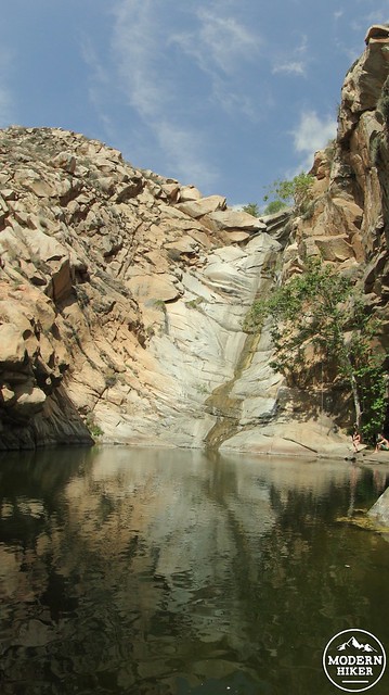
Cedar Creek Falls
Starting at the trailhead, follow the trailhead on an immediate descent into the gorge. Enjoy the scenery that opens up when you pass a bend at the half mile mark. The San Diego River Gorge opens up beneath you while the Cuyamaca Mountains loom in the background. Be mindful not to cut switchbacks as you come closer to the bottom. The Forest Service spent a lot of time and money restoring the landscape and trail. Pass a thicket of willows and cottonwoods that marks the course of the San Diego River – and note that the river can be a dangerous ford following heavy rains. Pass through the oak and sycamore woodland to a four-way junction just past the river. This junction meets Eagle Peak Road, which runs north to Julian and south to the El Capitan Reservoir. Cross Eagle Peak Road and continue ahead as the trail begins a gentle incline into a riparian strip full of oaks, cottonwoods, and sycamores.
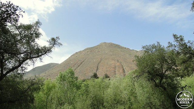
Looking up from the Gorge
Carefully pick your way over the rocky trail until you come suddenly to Cedar Creek Falls. The grotto contains a deep pool of fresh water where you’ll see a number of fish floating near the surface. Be careful on the polished boulders, which are deceptively smooth. Note that you are unlikely to have the place to yourself unless you come here on a Wednesday morning around sunrise. However, if you can possibly come during the week, you are less likely to find people swimming, splashing, and talking loud enough to hamper the beauty of the place. If you don’t mind that sort of thing, any time is beautiful, but it’s best to avoid the heat of the day between 11 a.m. and 4 p.m.
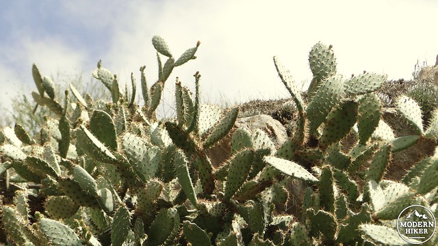
Prickly Pears near the falls
When you have taken in your fill of this splendid spot, turn around and head back to the trailhead. My suggestion is that you move slowly and deliberately, drink liberally, eat salty snacks, and bring a lot of sun protection. For avid hikers, this stretch will simply be an uncomfortably hot climb that is not particularly difficult. For casual hikers and novices, this will be a serious climb without shade and with possibly searing heat. Rest often. Better to get there eventually than not at all.
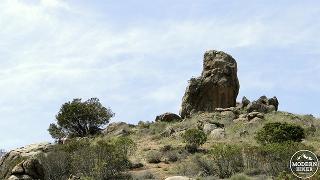
Outcrops on the descent
Tags: Cedar Creek Falls, Cleveland National Forest, devil's punchbowl, Eagle Peak, Eagle Peak Road, Hiking, safety, San Diego County, San Diego River, San Diego River Gorge, Trail Write-Ups, Waterfall