Standing aloof from the forested ridges and mountaintops bounding Anza Valley, the rugged, wooded heights of Cahuilla Mountain offer superb views, backcountry camping, meadows, wildflowers, and an unexpected forest of pines and black oaks. The peak lies within the Cahuilla Mountain Wilderness overseen by San Bernardino National Forest.
Note: Add 3 miles to the distance if you walk on Diego Flat Road from the junction with the unnamed gated road. This will also add an additional 500 feet to the total elevation.

Three to fours times a year, I head out to the Idyllwild area to do some hiking in the San Jacinto Mountains. The route I take brings me through Anza Valley (distinct from Anza-Borrego Desert State Park), and every time I’ve passed through, I’ve looked to the north of the small town of Anza and noticed a rugged, pine-clad peak standing aloof from the surrounding mountains. It never fails to draw my gaze, but with the promise of bigger, badder peaks in the San Jacintos, the refrain is always, “Some other time.”

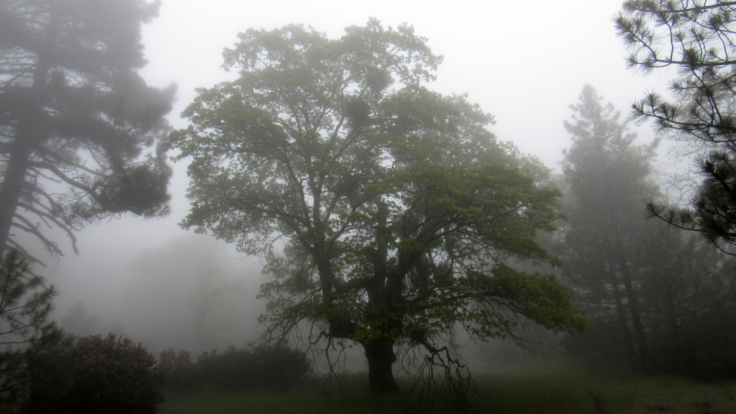
I’m sorry I waited so long. Cahuilla Mountain is a beautiful and unexpected place. I expected mostly chaparral with a Coulter pine here or there. I thought I might get some views (even though heavy fog blocked any semblance of a view). I didn’t expect the beautiful forest, the meadows, and the best SoCal wildflower display I had seen all year. I’m sure some of the magic for this hike came because of the thick cloud cover, which always gives the impression of a secret, hidden world. However, no matter the conditions, I’m confident that hikers of all stripes will find something to enjoy.

Please note that all descriptions of the views are approximations, given that I couldn’t see a damn thing when I did the field work here. All vistas described here are based off of my general geographic knowledge with some verification done in Google Earth. Expect errors.

View from Diego Flats Road
As mentioned in the driving directions, the 1.5 mile stretch of Diego Flat Road from the junction is not recommended for low-clearance vehicles. If you’re driving one of those, you’ll start the hike by walking 1.5 gently ascending miles along the road instead of driving them. This pleasant stretch of walking passes through montane chaparral dominated by ribbonwood, chamise, manzanita, and scrub oak.

Skeletal branches in a recovering burn area
At 1.5 miles, the road widens to allow parking just before topping out at a saddle. The trailhead and entry point for the Cahuilla Mountain Wilderness lies on the left side of the road. As this is a designated wilderness, only foot traffic is allowed here. Mountain bikes are not allowed, although you can bring your dog. You’ll pass through a fence to begin a moderate ascent along a single-track path through thick chaparral.

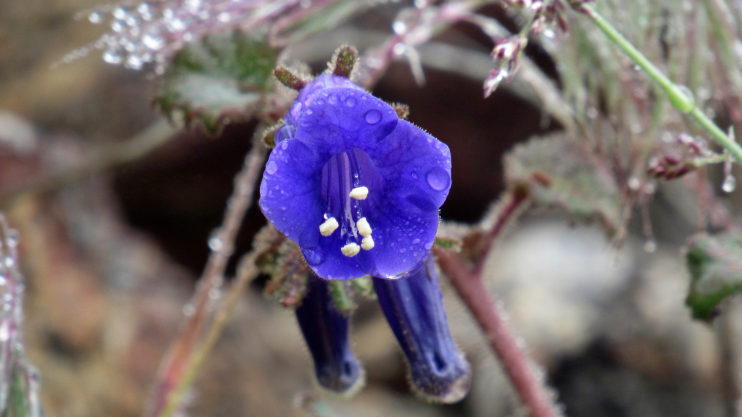
Canterbury Bell

Wild Pea
For the next 1.2 miles from the trailhead, the trail will wind its way along the northern flank of the mountain, through drainages and across ridges. Springtime displays of Canterbury blue bells, nightshade, wild pea, yarrow, yucca, chamise, ceanothus, and manzanita liven up the mottled green of the chaparral. Views to the northeast of the San Jacinto Mountains develop and improve as you climb.

Dense ceanothus and manzanita in bloom
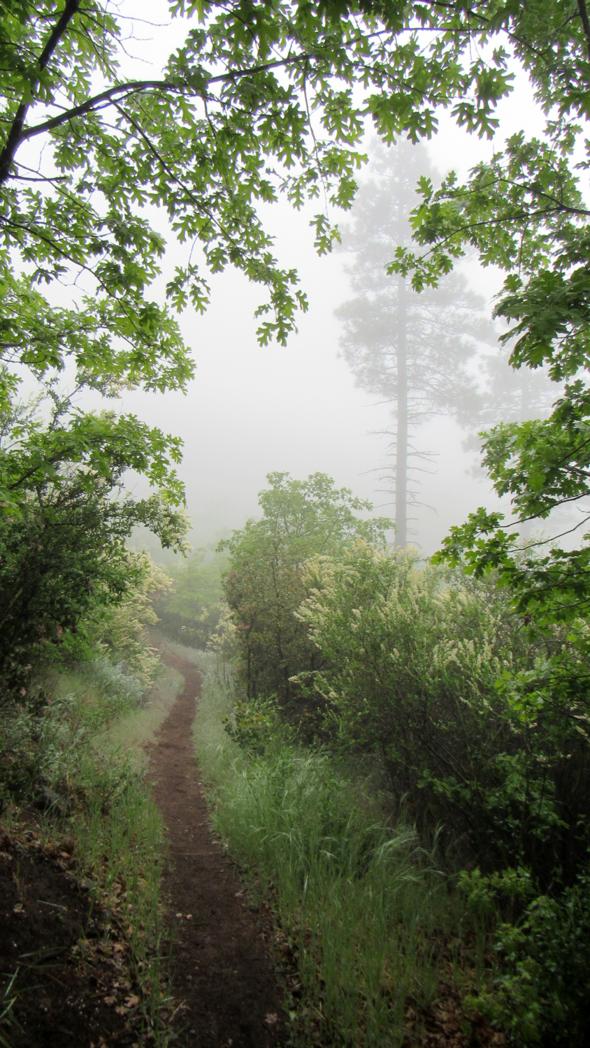
After reaching a crest at the 1.2 mile mark, the trail begins a gentle descent into a broad ravine. The first conifers – Coulter pines – show up around this point, and black oaks also appear in the grassy meadow running through the center of the ravine. The trail climbs out of the ravine, then makes a sharp switchback to the west. The trail is somewhat overgrown at points, with ceanothus branches reaching across the trail at eye level. Thick grass in April grows over the trail at a few spots, and you’ll want to remain focused and aware to avoid any rattlesnake encounters during warmer months.

Insert impressive view here
At the 1.9 mile mark, the trail leaves the chaparral and enters a broad, hillside meadow. The trail crests again at 2 miles, revealing an impressive view west across Temecula Valley and toward the Santa Ana Mountains.

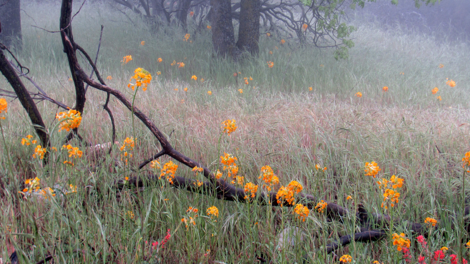
Wallflower and paintbrush
From the crest, the trail will dip down, now along the western slope of the summit ridge, and begin a generally south-trending traverse through pine- and oak- woodland with a thick understory of grass. The common chaparral flowers disappear here, although scattered manzanita and ceanothus plants still provide bursts of blue, white, and pink. Instead, you’ll encounter the nodding orange blossoms of Western wallflower and the vivid reds and whites of various species of paintbrush. The numerous black oaks on the section will also produce a vivid fall color display during late October to mid-November.

At 2.6 miles, you’ll reach a curious trail marker. Attached to a metal pole, you’ll find a large spring. In fittingly groan-worthy fashion, this marker indicates a side trail leading to an actual spring (very punny) about 200 feet down-slope. The spring could serve as a water source for backpacking, but it would be unwise to count on it. The water itself is muddy and unappealing, and you’d have to filter and treat the water before you’d even begin to find it appealing.

Black oaks and Coulter pines
From the junction to the spring, the trail begins a final push to the south and southeast to reach the wooded summit of Cahuilla Mountain. The actual summit, which contains a summit register, offers a less distinct view than a spot just 50 feet south from the actual peak. At this second spot, you’ll find a flat spot wide enough to hold a couple of backpackers tents, an illegal fire ring that I regret not breaking up, and a rock outcrop from which you can get a full look at the views south and southwest toward the Palomar Mountains, Bucksnort Mountain, Toro Peak, Hot Springs Mountain, and various other points in San Diego County.

I don’t have any pictures of views, so here’s some paintbrush instead
For backpackers looking to camp on the mountain, please note that the only campsite that’s not covered in vegetation is the one by the summit. Although you do not need a Wilderness Permit at time of writing, it would still be a good idea to call the Idyllwild Ranger Station at (909) 382-2921 to verify that the no-permit policy is still in place. Also, you’ll need to practice the usual Leave No Trace principles, which includes no fires and no camping near the trail or atop vegetation.

Now you’re going to have Misty Mountain Hop stuck in your head all day
The return journey retraces your steps back to the road.
Tags: Anza, Backpacking, Cahuilla Mountain, Cahuilla Mountain Wilderness, fall color, foliage, San Bernadino National Forest, san jacinto mountains, transit accessible, wilderness, wildflowers


