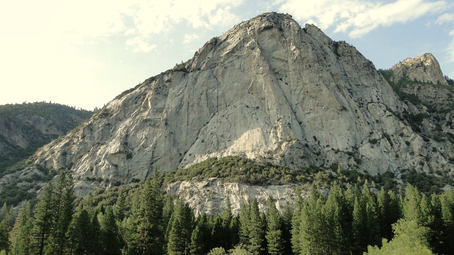
Zumwalt Meadow offers a perfect combination of dramatic scenery, the gentle (or roaring) rumble of the Kings River, a lush meadow, wildlife viewing, and an easy lollipop loop trail suitable for people of all ages and abilities. The meadow loop is the signature hike in the Cedar Grove area, and it epitomizes everything that is great about Kings Canyon. This short and simple loop hike starts from a parking lot about half a mile east of the Roads End parking lot. This parking lot is also an access trail for the River and Kanawyer Trails, both of which parallel the Kings River through much of the Cedar Grove area. Technically, the meadow loop is part of the River Trail, and it is possible to weave the meadow loop into a larger loop exploring the Kanawyer and River Trails.
Meadows, with their rich diversity of plants, attract all kinds of animals large and small, including mule deer and black bears. If taken in the early morning hours or in the late afternoon and evening hours, you stand a good chance of encountering (preferably from a distance) bears and deer browsing in the meadow or snuffling along for morsels by the river.
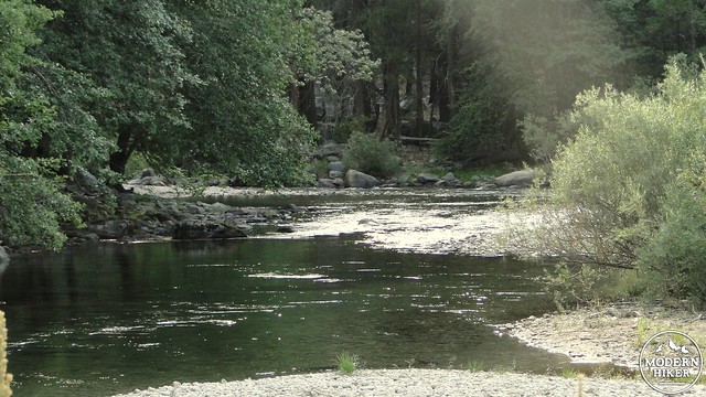
Starting from the parking lot along the road, strike out along the smooth, wide path as it parallels a bend in the river. Right off the bat, you’ll notice a number of sandy spots along the river from which you can wade in and splash around, provided that the river’s level is low. People looking to swim in the river should be aware that there are dangerous currents that can sweep swimmers away. From May to July, the river’s level may be too high, but the Kings is often gentle during August and September. The trail will continue along the river through sunny, open forest before making a bend to the left and coming to a bridge.
This old steel bridge crosses the Kings River while offering some good views up the canyon. Just past this bridge, there’s a pebble beach where you are likely to see a number of families splashing around in the cold waters. Again, this activity should only be reserved for times when the river is at a low level, as high water moves quickly and can present a serious drowning risk. Still, on a sunny summer day, wading into the Kings is a refreshing way to cap off this hike.
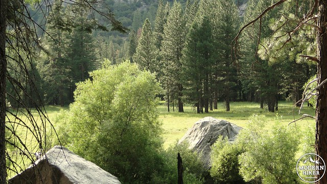
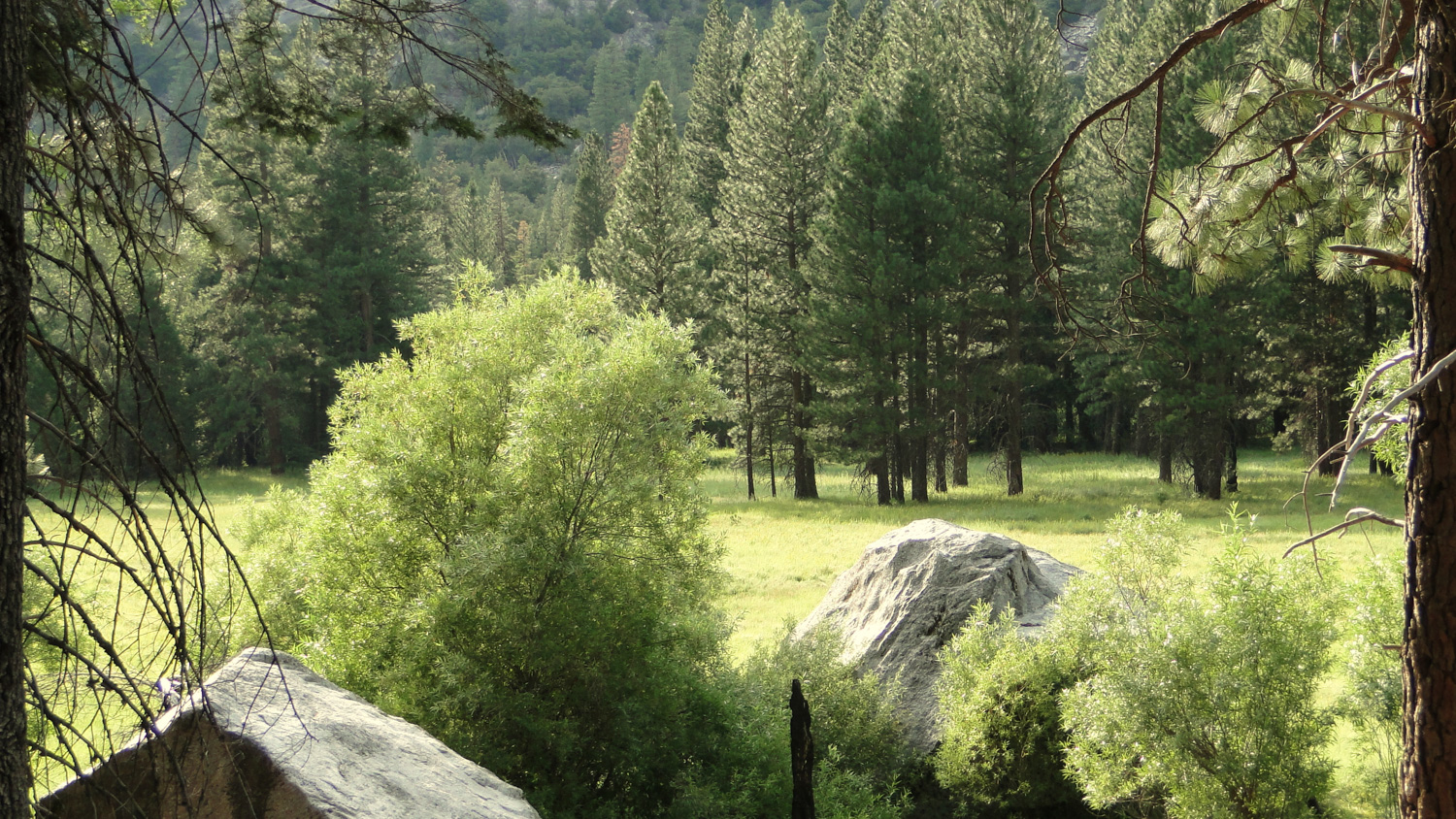
Past the bridge, the trail reaches a junction with the River Trail. Go right, and you’ll head in the direction of Roaring River Falls. Go left, and you will reach Zumwalt Meadow. After the junction, the trail will pass through the woods before rising up and over a small talus field. This is the only climbing on the trail, and this brief rocky segment can be a bit uneven. At the top of the talus field, you’ll have a good view to the left of the meadow, which you still will not have seen properly. Pockets of ponderosa pine rise up from the lush, green grass as the afternoon sun casts deep pools of shadow.
The trail bends off to the left at another junction for the continuation of the Kanawyer Trail. As the trail bends in, it will plunge into a cool pine and cedar forest. You’ll pass a huge boulder on the left that looks ideal for climbing. The stretch of forest afterward looks straight out of Lord of the Rings, with a thick carpet of ferns and golden rays of light filtering down through the trees. You might half-expect to spot elves doing secret elvish things in the distance. More likely, you’ll see mule deer looking back at your warily.
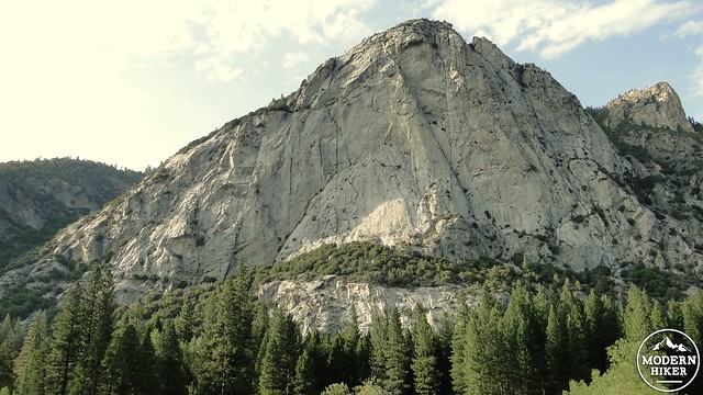
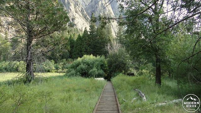
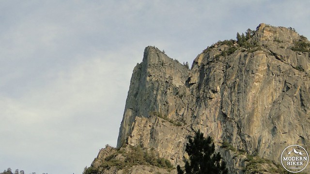
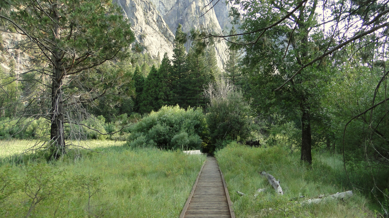
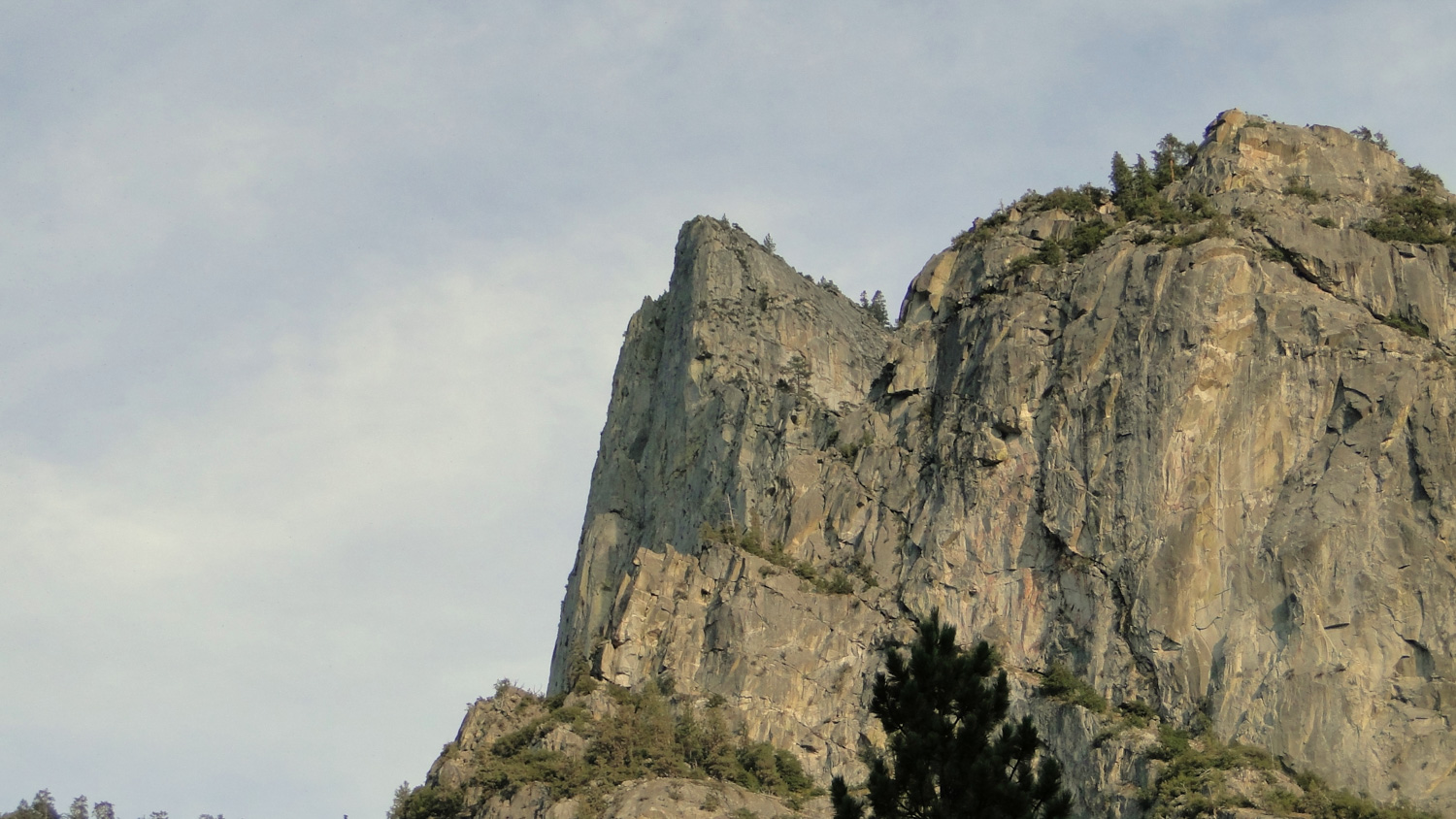
The trail continues to trend left along the Kings River. Around this point, the views of the meadow improve as the trail approaches a boardwalk that travels over the boundary between the meadow and the Kings River. At this point, there is a wooden platform off to the side that allows views east over the meadow, which includes some prominent rock outcrops and crags high up on the rim of Kings Canyon. On the day I came, I met the photographer who is responsible for shooting pictures used in the interpretive signs found at many of the area’s hikes. The NPS gives him free run of the parks over a 2 week period, during which time he spends the hiking around day shooting pictures. Now that’s a job.
After this platform, you’ll travel down the boardwalk. This spot is probably best for viewing wildlife, as you have unimpeded views over the meadow as well as over the river. The views here are also outstanding, as you have open views up and down Kings Canyon with the river and the meadow in the foreground. The boardwalk will pass through a dense thicket of willows before returning to the River Trail that leads back to the bridge.
If you haven’t seen any wildlife up to this point, you may see some on the way back to the bridge. On this day, we spotted a black bear roaming along the river’s bank. I ended up spooking it as we both lost sight of each other passing a large rock outcrop. After seeing me, the bear hustled off along the River Trail, proving that bears are far more frightened of humans than humans are of bears. Sadly, I was unable to snap a good shot. Of course, should you encounter a bear, it’s always best to maintain a respectful distance and not to do anything to provoke or aggravate it. Most of the time, the bear will ignore you as it is far more concerned with finding food than it is with messing with humans.
From here, you’ll pass over the bridge and bear right to retrace your steps back to the parking lot. This short and simple loop is easy enough for everybody, but beautiful enough to appeal to even the most hardcore hikers. This is a perfect way to cap off a day of hiking or splashing in the river before you head back to your campground for a fire, a hot meal, a cold beverage, and some messy, melty s’mores.
Note:
– The Cedar Grove area is about an hour and a half drive from the Grant Grove area. This geographical quirk demands some planning if you plan on visiting the meadow from Grant Grove.
– There is a $20 entrance fee to visit Kings Canyon
Tags: Kanawyer Trail, Kings Canyon, Kings River, River Trail, Zumwalt Meadow


