Valencia Peak is the 2nd highest point in Montaña de Oro and the most attainable. This trail maintains a steady but comfortable grade over the 1150 ft climb to the summit, which makes it an approachable hike even for beginners.
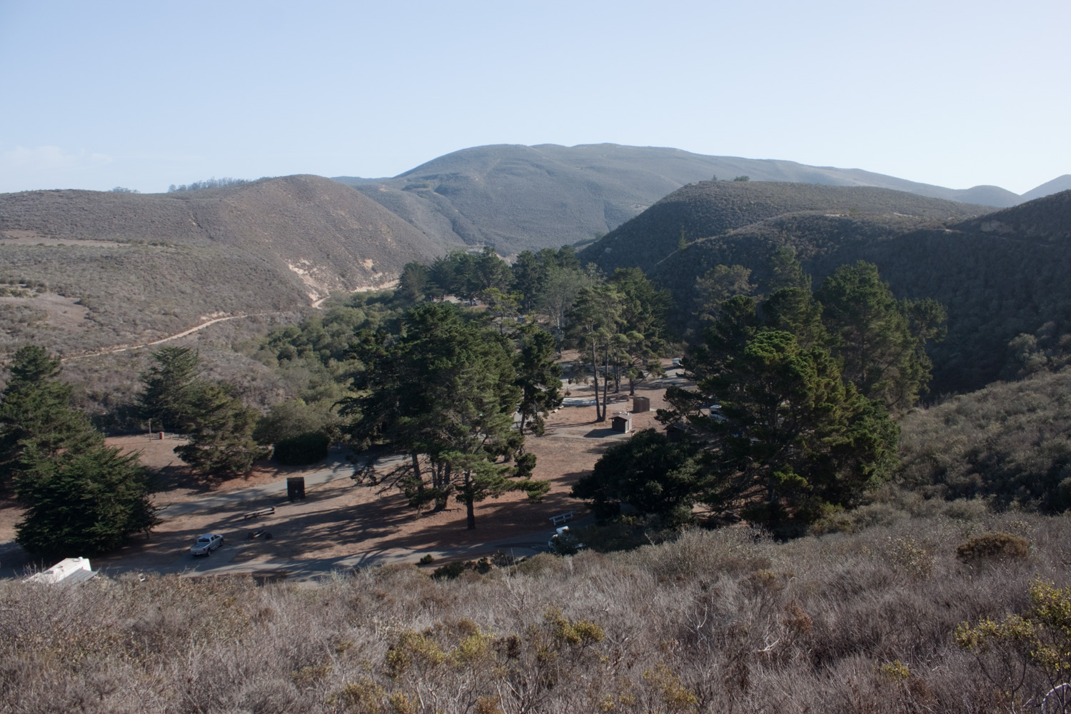
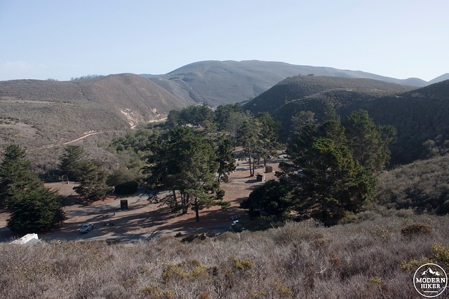
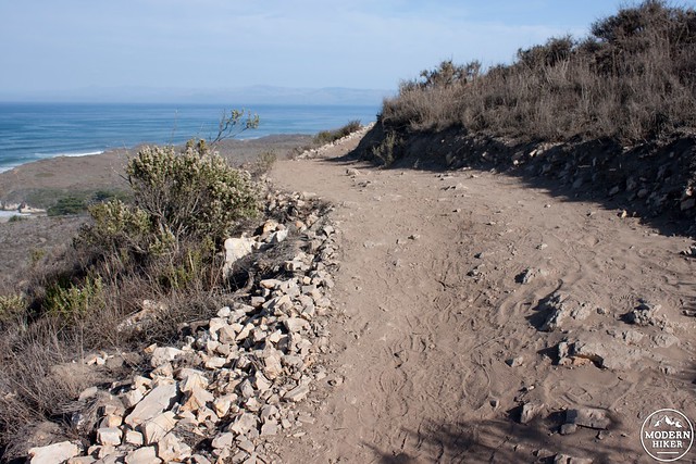
Start from the parking lot just south of Spooners Cove. Turn left at the junction with Rattlesnake Flats Trail, one-tenth of a mile in. The trail network in Montaña de Oro has seen a lot of improvements over the last year. At this junction you can see an old trail aimed straight towards the summit, but please stay on the new portions of trail as you make your way towards Valencia Peak. As you curve around you get a good view down into Islay Creek Campground. This campground has 52 reservable sites, pit toilets, water, and ferocious raccoons.
Three steep switchbacks and 1.1 miles of travel takes you to the junction with the Beebe and Badger Trails.
If you are planning on camping in the park and don’t mind a short hike, try to get environmental site #3. This campsite is located in the grove of eucalyptus trees downhill to the west. Not only is it secluded and has stunning views of the coastline, but you can access Valencia Peak right from your campsite via the Badger Trail which links up at this junction.
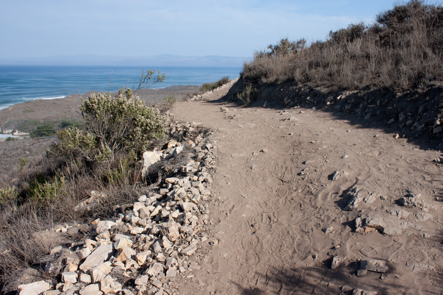
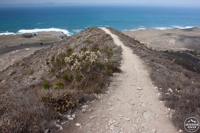
After another set of six switchbacks the trail gains a prominent ridgeline pointed directly at the summit. Tilted layers of sedimentary rock pave your way as you cross this exciting 0.6 mile ridge to the base of the summit pyramid.

Mile 2 is marked by a 30 foot tall cliff which is a great place to take a rest in some shade before the final climb. Look around for fossils embedded in the rock layers.
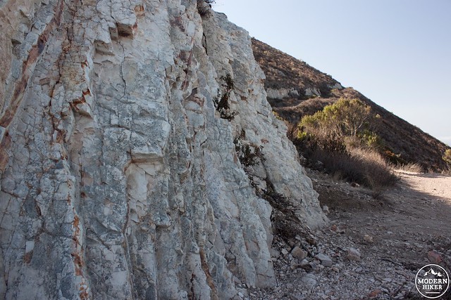
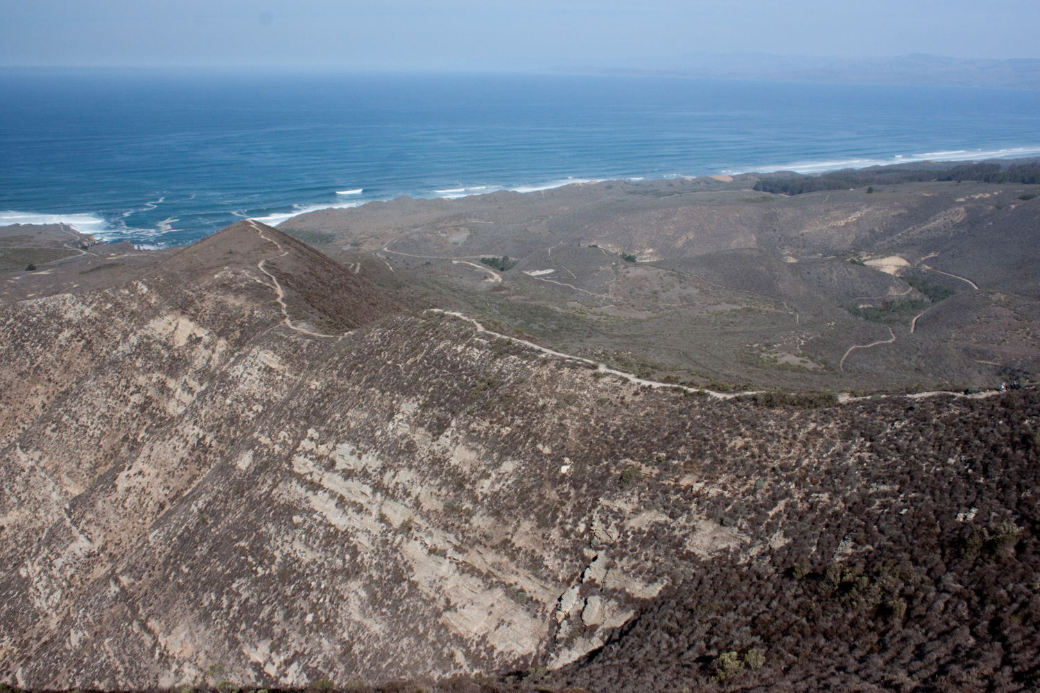
This area is comprised of three terraces. Looking down towards the Bluff Trail you can see the second terrace which currently drops into the ocean. The first terrace makes up the ocean shelf and is responsible for a lot of the good surf in this area. This trail climbs up to the third terrace, which used to be the ocean floor. As time progressed, regional faults have tilted these old sedimentary layers on their side, which is what you see exposed today on Valencia Peak.

Once you are rested, finish the 0.35 mile climb to the summit. A USGS marker is located at the base of the final summit step, but it’s well worth the extra steps to gain the true summit.
Looking north you can see Morro Rock, the first in a set of peaks called the Nine Sisters. Each of these “sisters” are the remaining innards of 20 million year old volcanics, called volcanic plugs. The row of plugs extends 40 miles east to San Luis Obispo and is an important range for nesting birds, historic maritime navigation, and a unique view of this geologic phenomenon. To the west you can see the Bluff trail and coast, and to the north is Hazard Peak and Morro Bay. The ridgeline leading up to Valencia Peak is especially prominent when viewed from the summit.
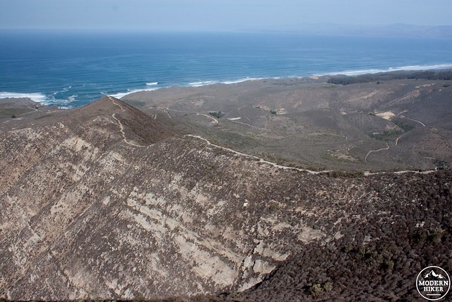
The summit is often covered in a low layer of maritime clouds. These clouds come and go quickly, so if you have poor initial visibility, try waiting it out for the good views. When you are ready, retrace your route back to Spooners Cove. Watch your step as you are coming off the summit pyramid. Loose rock and sand can easily cause a slip, so be sure to take your time while you enjoy the views.
Tags: Central Coast, fossils, geology, San Luis Obispo, summit