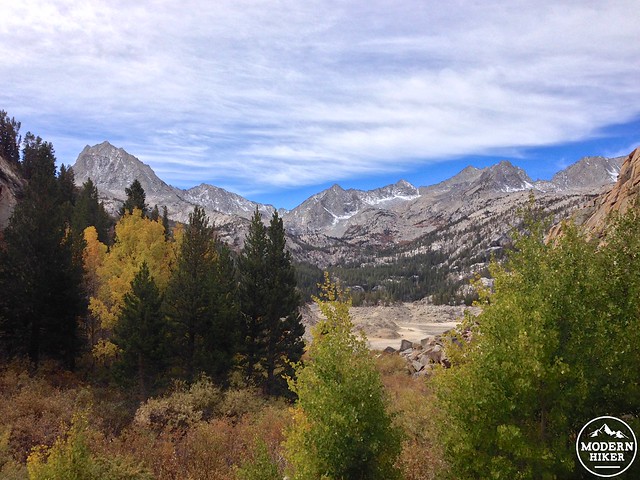
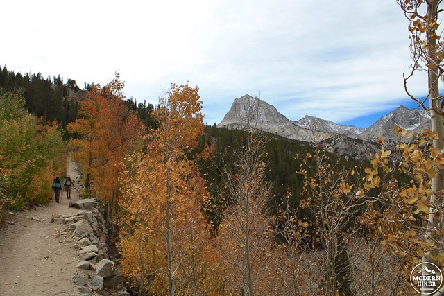
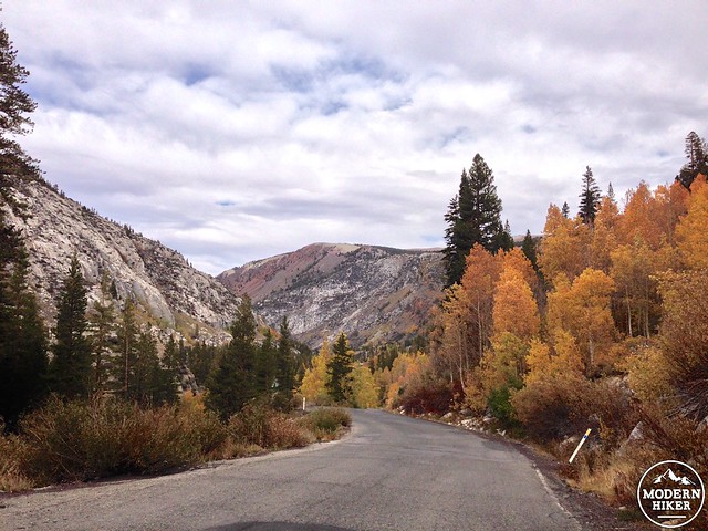
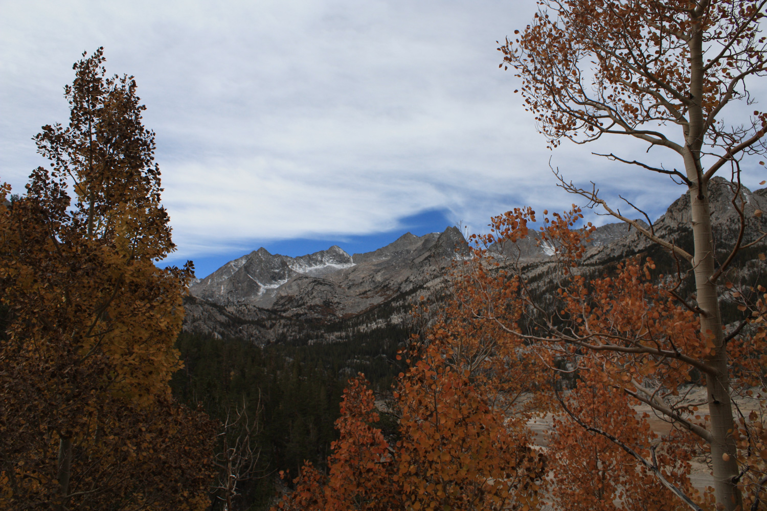
The Bishop Creek area just west of Bishop, California is an incredibly picturesque alpine canyon filled with cabins, tiny villages, and aspen groves that absolutely explode with color at the beginning of the foliage season.
Even without the golden tinge of aspen, it’s a beautiful area to visit – filled with beautiful trails and lots of room to stretch out in the John Muir Wilderness. This particular route starts at the popular Bishop Pass Trail but takes a side trip to less visited Treasure Lakes, a series of small alpine pools in the shadow of Mount Johnson.
The trail begins at a small picnic area on the north shore of South Lake (which, depending on the type of year we’re having, may look more like a big hole in the ground than a lake).
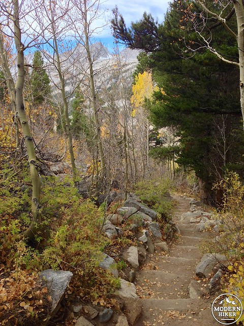
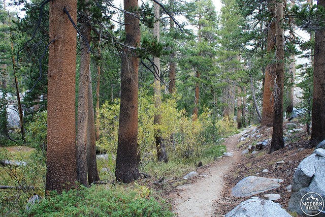
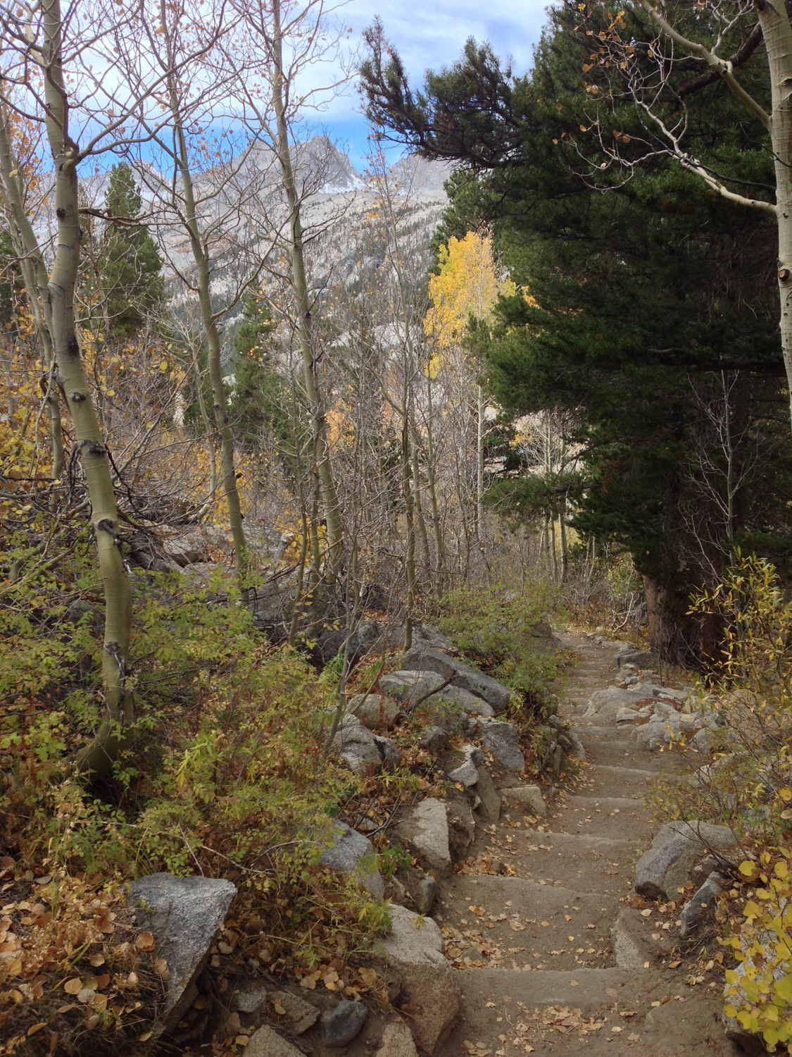
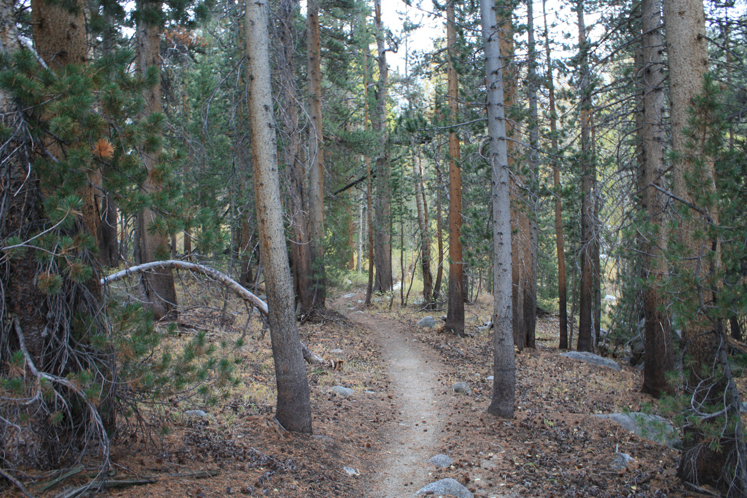
The first 0.8 miles gains about 376 feet in elevation while trekking through some beautiful aspen groves and rather idyllic woodland landscapes that look like they could be pulled from the pages of an outdoor adventure magazine.
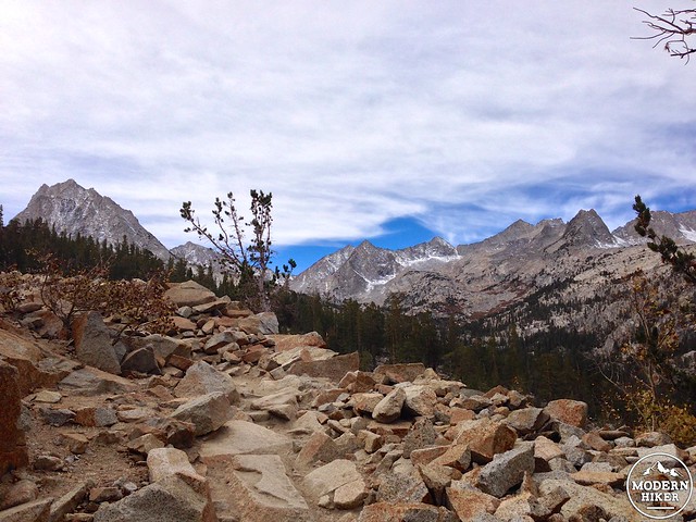
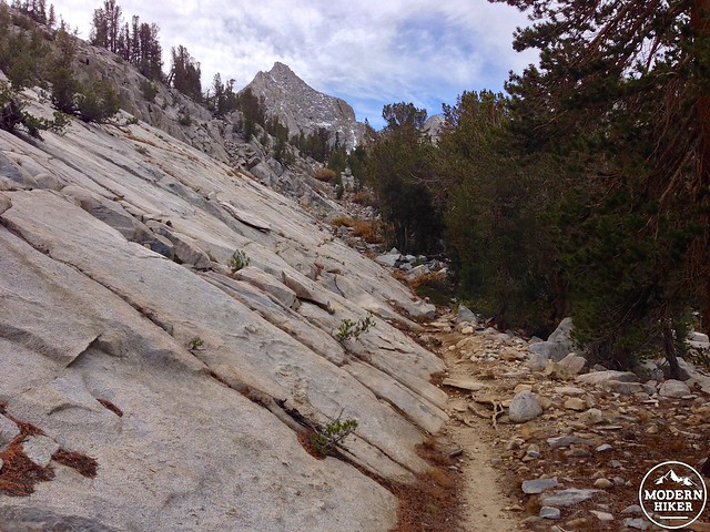
The trail starts off on moderately exposed granite but eventually finds some nice tree cover as it progresses. The trail is still pretty rocky, though, so if you’ve got cranky knees you may want to put some extra cushioning in your insoles or bring your trekking poles along for the hike.
At the 0.8 mile mark, you’ll reach a junction with the Bishop Pass Trail, an epic route that will take you past several alpine lakes and through Bishop Pass into Kings Canyon National Park. For this trip, however, stay to your right to continue on the Treasure Lakes Trail.
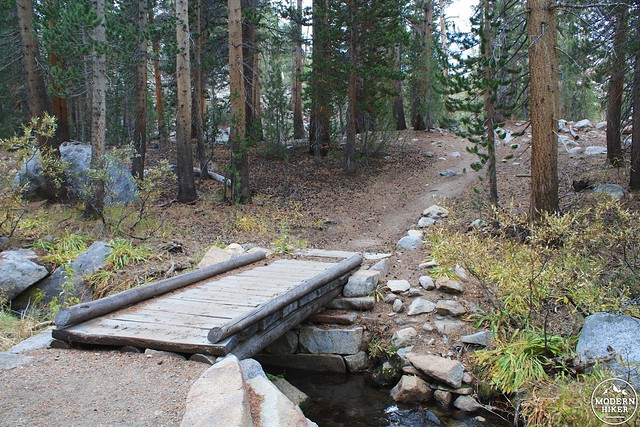
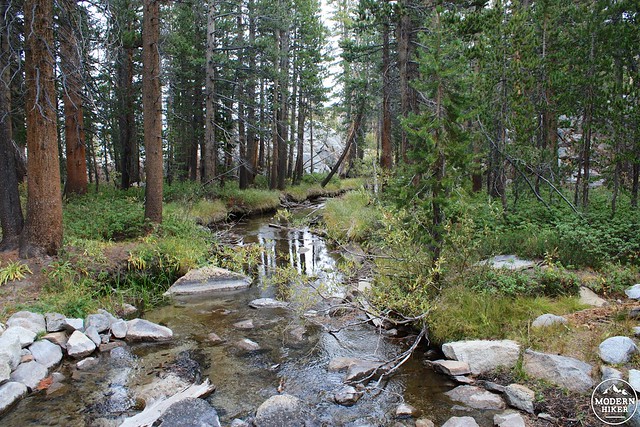
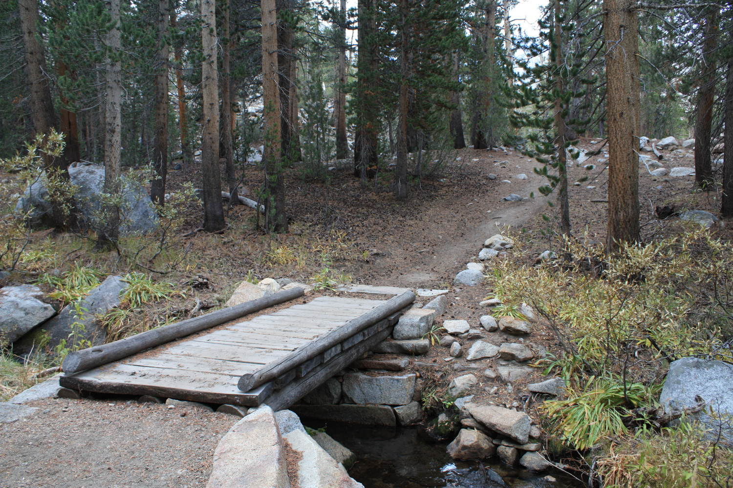
This section of the hike is exceedingly lovely – as it climbs the cliffs on the southeast shore of South Lake, you’ll be able to hear distant waterfalls cascading into the Lake itself, cross some beautiful babbling brooks, and generally be surrounded by exquisite Eastern Sierra scenery.
At just past the mile mark, the trail makes a sudden switch from incline to decline mode. For the next 0.6 miles, you’ll be on a steady descent, leaving the granite of the mountainside for more sorrel-covered forest floors and mountain streams.
Enjoy the scenery and the decline – because at that 1.7 mile mark you’re going to regain all of that elevation and then some.
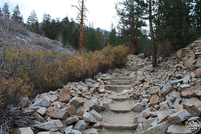
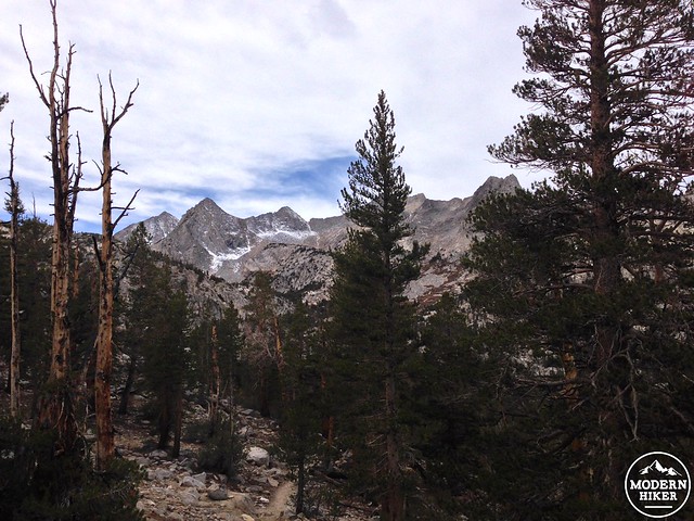
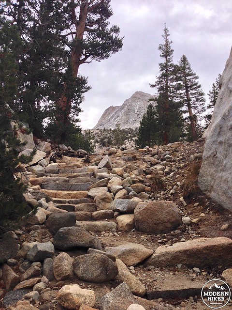
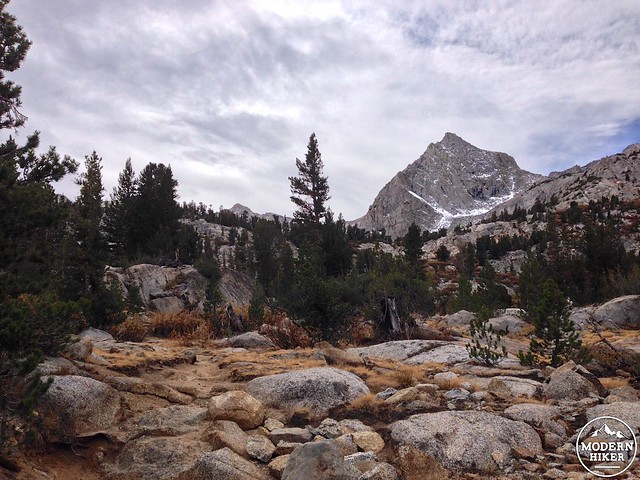
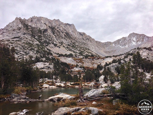
The trail gains 632 feet in the next 0.9 miles, mostly on hard granite staircases and slabs marked with cairns. As you head toward the towering spires of Mount Goode and Mount Johnson before you, you can at least take solace in knowing that you’re not scaling quite that high on this trip.
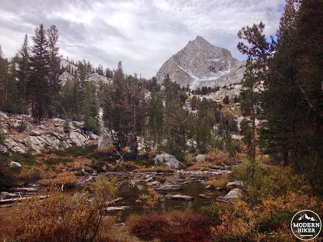
As you approach the Treasure Lakes, you’ll also pass by a few small lower pools and the cascading streams that feed them. Be sure to stop to soak in some of the scenery on the way.
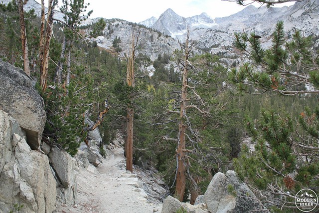
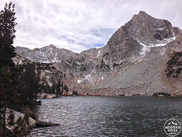
On its last push to the Lakes, the trail hugs a long granite ridge and makes a few switchbacks before revealing the Treasure Lakes in all their glory.
If it’s summer, you may be tempted to take a quick plunge in the clear, icy water. If it’s fall, you may not be so excited to do that – and you might want to instead focus on soaking in the foliage surrounding South Lake on your way back to the trailhead.
Tags: Bishop Canyon, Bishop Pass, Eastern Sierra Nevada, foliage, Inyo National Forest, John Muir Wilderness, South Lake, Treasure Lakes


