Lower Bertha Falls is an unusual waterfall — a twisted, tangled cascade sprawled across upturned rocks and hidden amongst a dense wall of greenery. This waterfall is accessible via a moderately challenging trail, but even in the summer you can find solitude on this route. More energetic hikers can continue past the falls to a backcountry campground at Bertha Lake or as a side trip on the Lakeshore Trail on a run for the American border, but this unique and lovely waterfall is a worthy destination in and of itself.
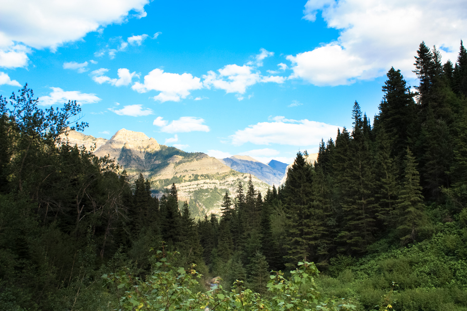
Head south on the well-worn trail from the trailhead off Evergreen Avenue, or access this route by following the Townsite Trail south along the shore of Upper Waterton Lake and crossing Cameron Creek. The trails meet in about 0.2 mile (0.3km), then the route begins a slow but steady climb above the looming blue of Upper Waterton Lake. Continue climbing south until 0.8 mile (1.3km). You’ll have climbed just under 300 feet (91m) and at this point the trail reaches a junction.
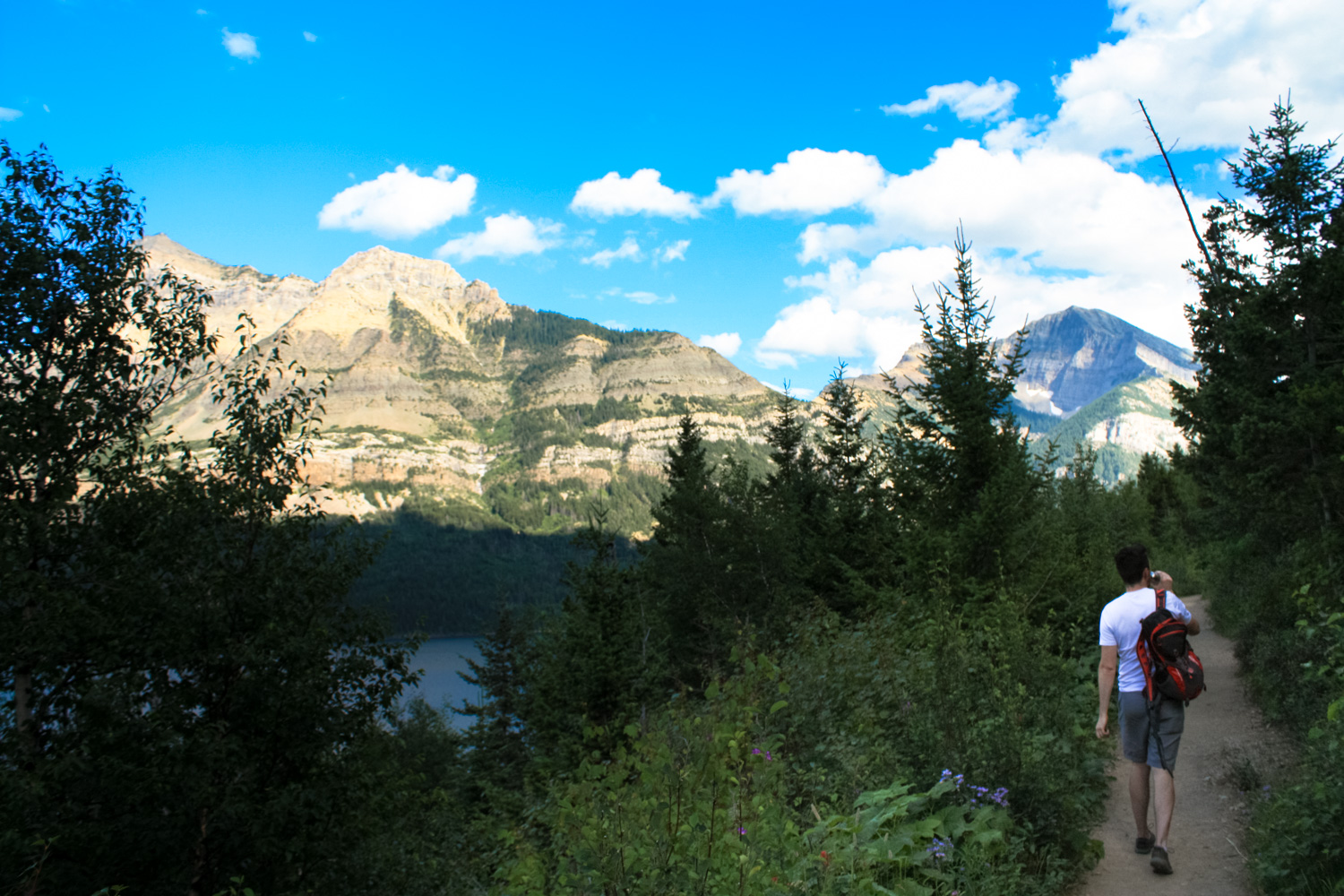
Look for a short footpath to a truly beautiful lookout point, where you’ll enjoy some stunning views looking south toward Upper Waterton Lake and the United States border. You can continue south from here, toward the campgrounds at Bertha and Boundary Bays and Goat Haunt, Montana and Glacier National Park — but for Lower Bertha Falls, you’ll want to keep to the right and head west following the signs for Bertha Lake.


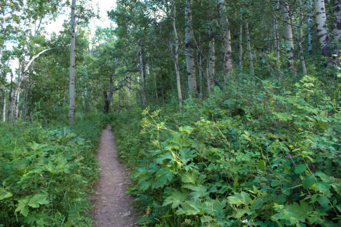
The greenery on the trail opens up here, so although you’ll be surrounded by majestic pines and aspen (fall color here can be pretty outstanding), you’ll also have spectacular views of the nearby peaks, including the Mount Richards, Mount Alderson, and Bertha Peak. Bertha Lake lies in a narrow valley in the middle of these three peaks, and that’s where the trail is headed.


As the trail continues to climb, keep your eyes (and ears) peeled for Bertha Creek, which makes the occasional appearance just to the south of the path. Some small cascades and tumbles in the rock formations here are just warm-ups for the big show, though. At 1.6 miles (2.6km) a wooden footbridge crosses the creek. From here, you can spot a few short use-trails that will take you further up the creek’s path for some better views of the Lower Falls themselves. Mind your footing, as the rocks are slick and can be slippery if you’re not wearing grippy hiking shoes.

When you’re done, either continue on the path to Bertha Lake or return back the way you came in. The distance from the trailhead to Bertha Lake and back is approximately 6.5 miles.
Tags: alberta, bertha falls, bertha lake, canada, waterton lakes national park, waterton village