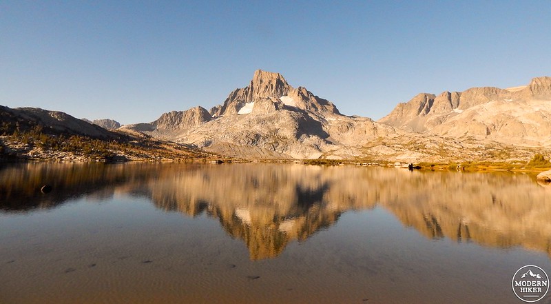
The Sierra Nevada hosts some of California’s most jaw-dropping scenery and as you can imagine, its Ansel Adams Wilderness is no slouch in the good looks department. In an area absolutely crawling with gargantuan snow-draped peaks and stunning sunlit watering holes, where iconic views and epic vistas are a dime a dozen, perhaps none are as universally revered as sparkling Thousand Island Lake capped by massive Banner Peak.
While you can make your way to this alpine paradise via the iconic Pacific Crest Trail (PCT) and John Muir Trail (JMT), we suggest you also consider this shady jaunt along the Middle Fork of the San Joaquin River.
Begin your trip at Agnew Meadows, the first stop on the seasonal shuttle from the Mammoth Mountain ski area (or the first right turn as you head down the winding road past the fee station at Minaret Summit). If you’re arriving via shuttle, take a quick stroll down Agnew Meadows Road, passing a pack station, then the parking area for the High Trail trailhead (aka the northbound PCT), and finally arrive at a second area complete with parking, vault toilets, garbage receptacles, and informational signage – this is where the magic begins!
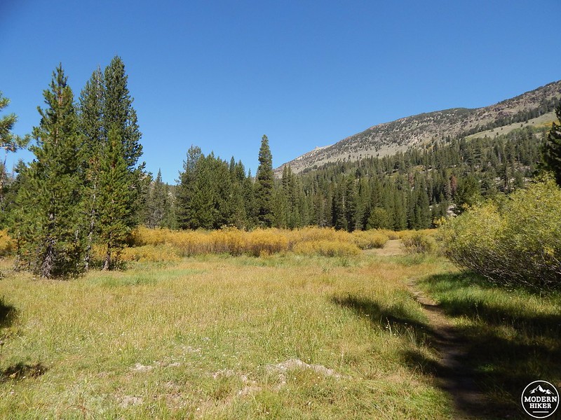
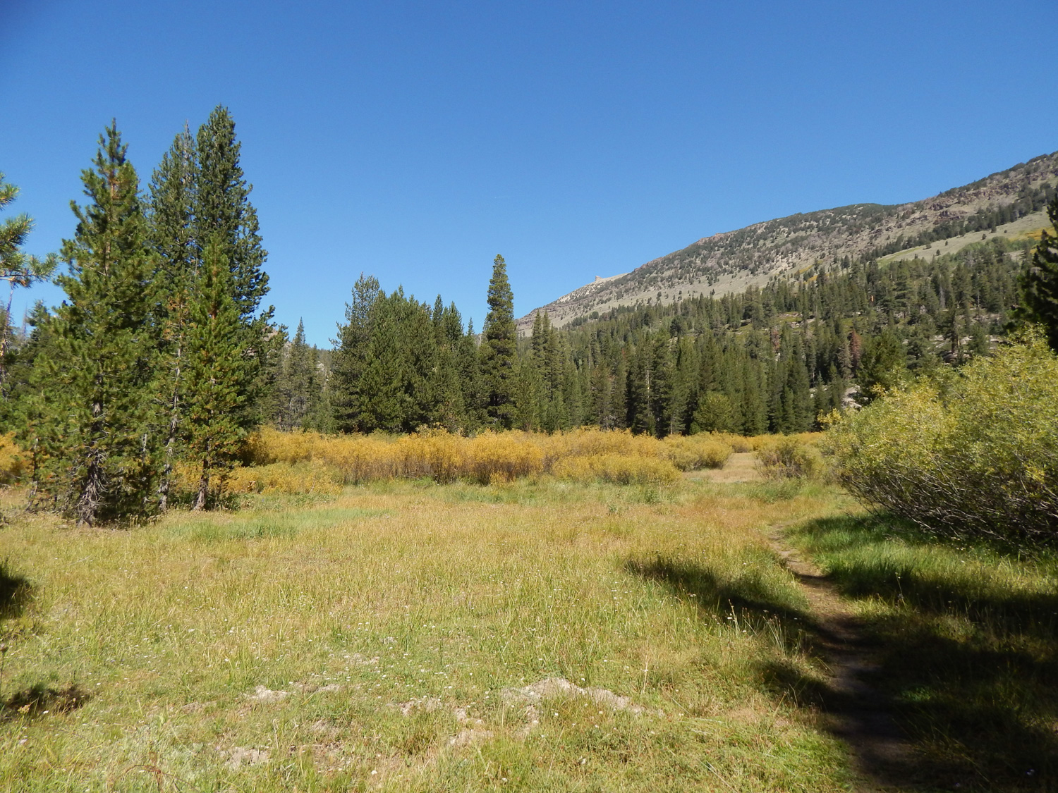
After securing any smellables in the trailhead’s communal bearproof storage lockers, look for a brown wooden sign headlined “Pacific Crest Trail.” Although the signage indicates that Thousand Island Lake is to your left, you actually want to head right towards the Shadow Lake Trail and River Trail – I promise you’ll actually end up at the lake, and since you’ll avoid the high, sunny slopes above, it’ll be a much less sweaty affair. Heading southwest, you’ll take the trail to your right and will almost immediately cross a small stream via a short log bridge. After a few minutes, Agnew Meadows quickly presents itself on your right; this expansive area glows bright green in wetter months and offers the possibility of seeing mule deer in action – have a quick scan to see if you spot any of these meadow regulars frolicking around. 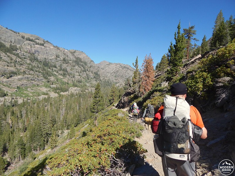
In just under a mile you’ll reach a trail junction – up to the right, a fork leads to the currently shuttered Agnew Meadows Campground, which was closed because of extensive damage from the 2011 Devils Windstorm, a rager that felled tens of thousands of trees in the area. The left fork leads to the River Trail and Upper Soda Springs Campground, but you actually want to stay straight, heading significantly downhill (remember this rule for the return trip: what goes down must eventually come up!). Over to your left is the deep gouge of the San Joaquin River and above that, the high cliffs hold back a number of glittering gemstone lakes scattered along the JMT – another (very worthy) trip for another day.
Not to worry, though – you have plenty of water in your very near future. Around 1.5 miles, you’ll finally meet up with the River Trail and will cruise straight ahead across the flattish, often dusty canyon bottom (bring your gaiters), eventually passing scenic Olaine Lake tucked behind the trees to your left. If your water bottle’s running low, look for pre-existing use trails through the trees instead of blazing your own path. Just past the lake’s northwestern tip, you’ll find a trail junction and a handful of fallen logs, a perfect rest stop before the next leg – enjoy a snack, a bathroom break, or just breathe in some of that fresh alpine air.
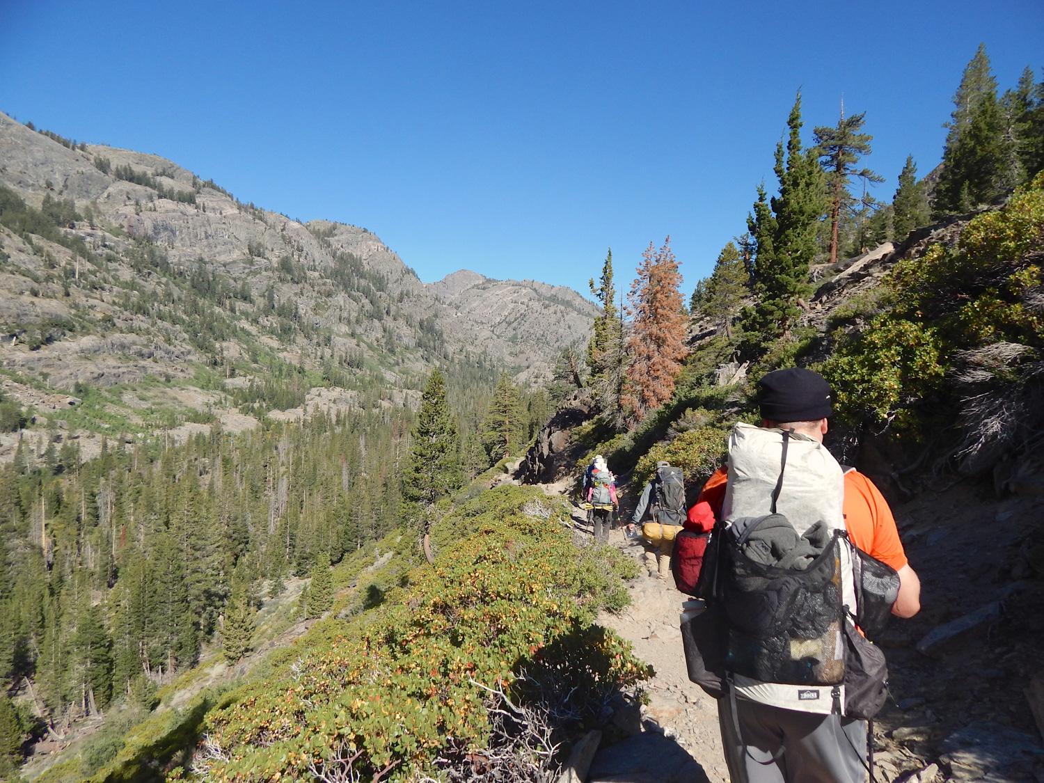
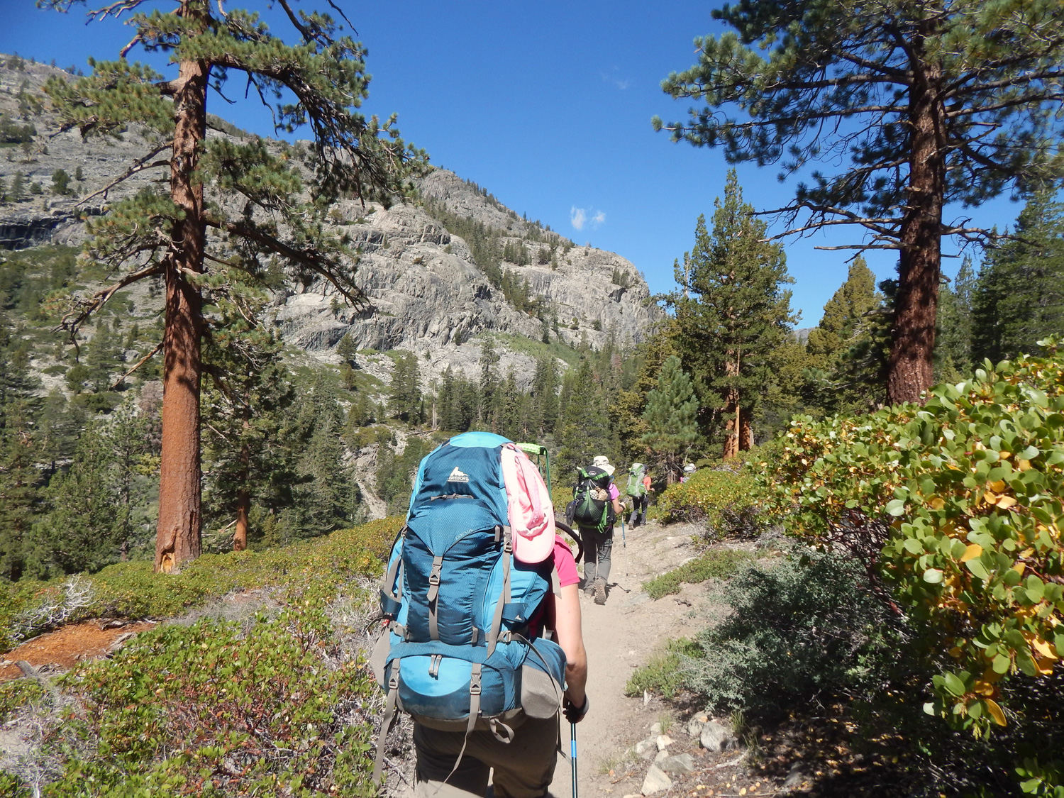
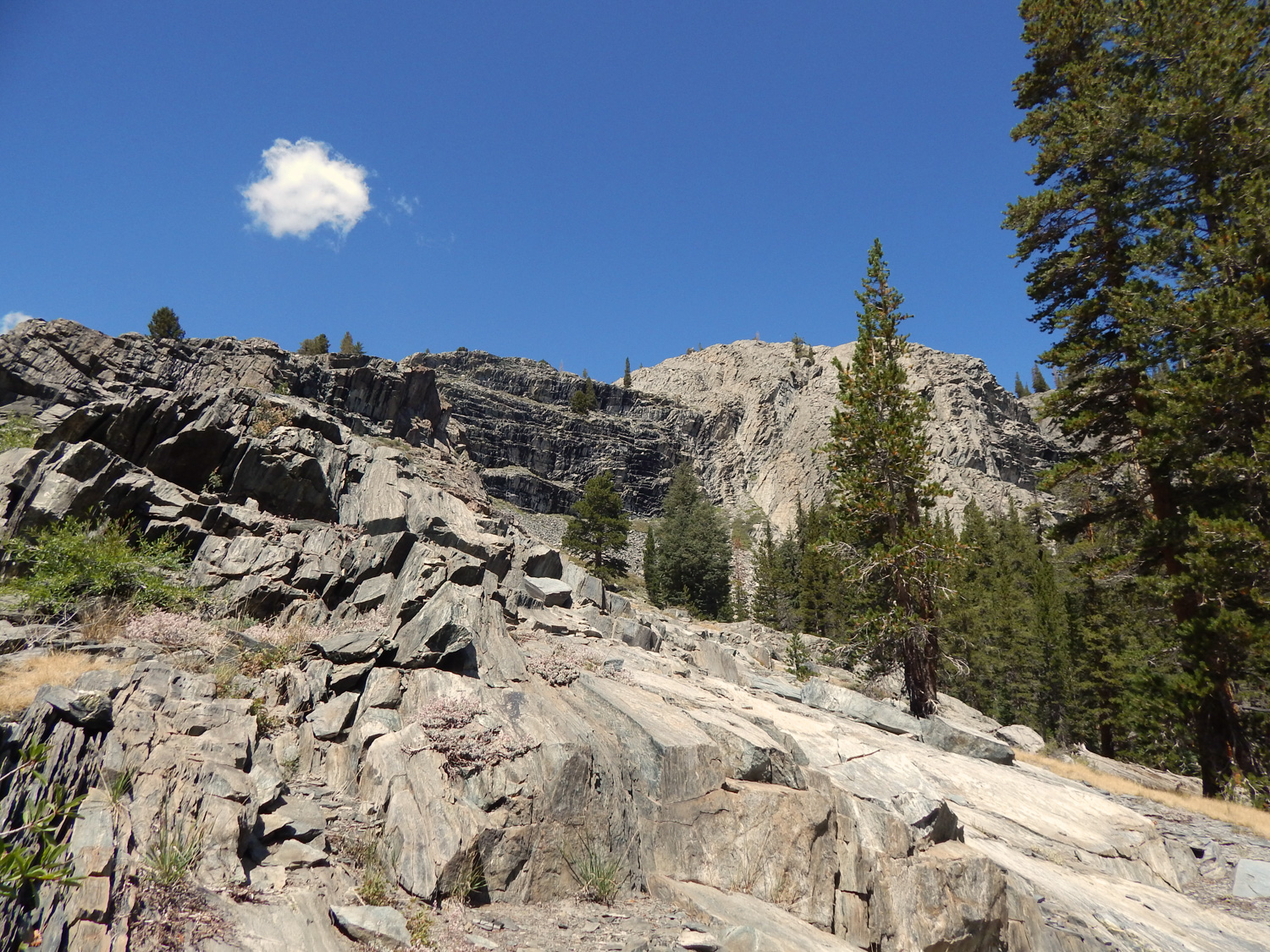
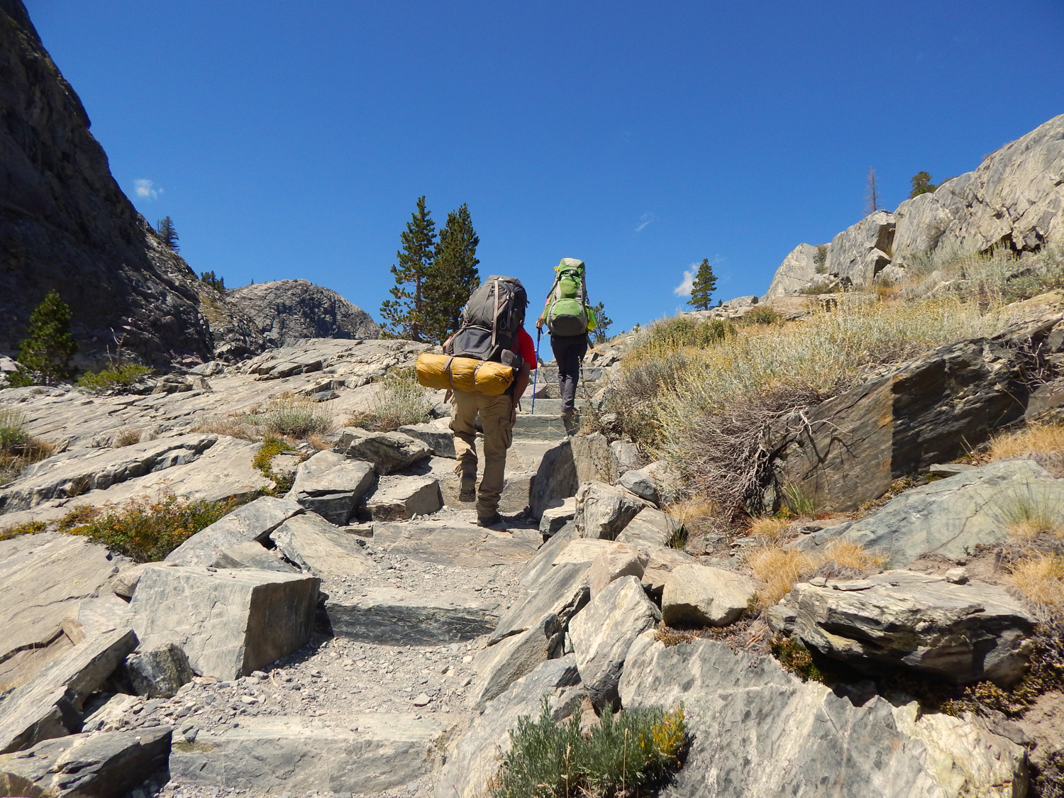
 To the left, a spur heads up and over to Shadow Lake and the JMT, and to the right is your route – a somewhat sweaty uphill hustle that continues to parallel the Middle Fork of the San Joaquin. The upside to all of the grunt work in this section is that your views start to expand as you make your way up the striking granite, where the intermittent tree cover is replaced by bright green manzanita (don’t forget the sunscreen!). As you hike, keep your eyes peeled for waterfalls cascading over the slopes around you, especially in late spring and early summer, or even later in a wet year. Speaking of water, you’ll cross several small tributaries of the San Joaquin as you make your way through this section – all relatively simple crossings, unless you’re hiking during the runoff from a high snow year; check with rangers for conditions before heading out to know if you’re in for any wades.
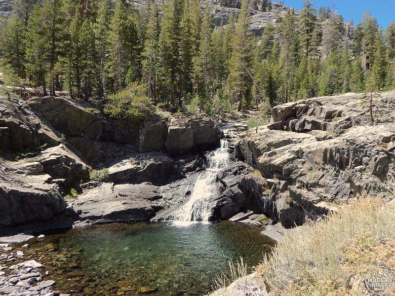
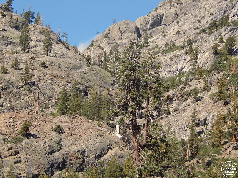
Near the five-mile mark you’ll reach a trail junction – there’s a spur to your right that leads to the High Trail and PCT far above, but instead continue straight ahead, heading northwest. If you’re looking for another break spot, this is a good one – just west of the trail junction, you’ll spot a small, but scenic waterfall and score a lovely view back down the river valley.
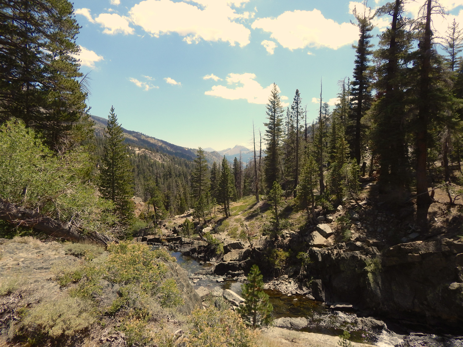
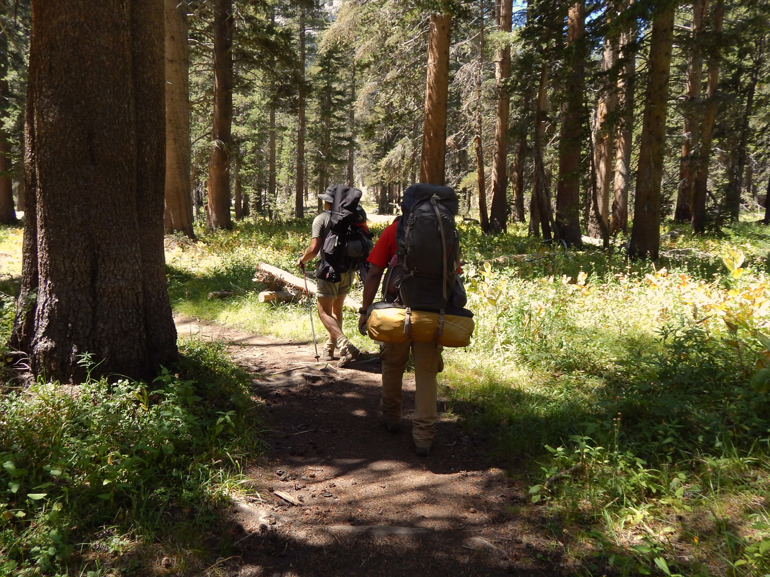
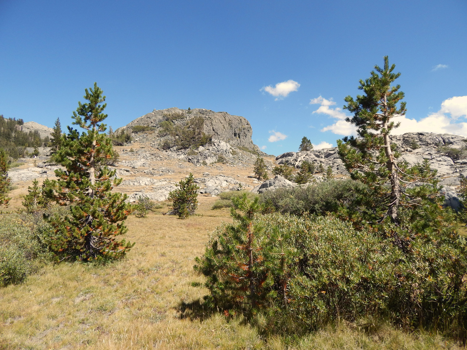
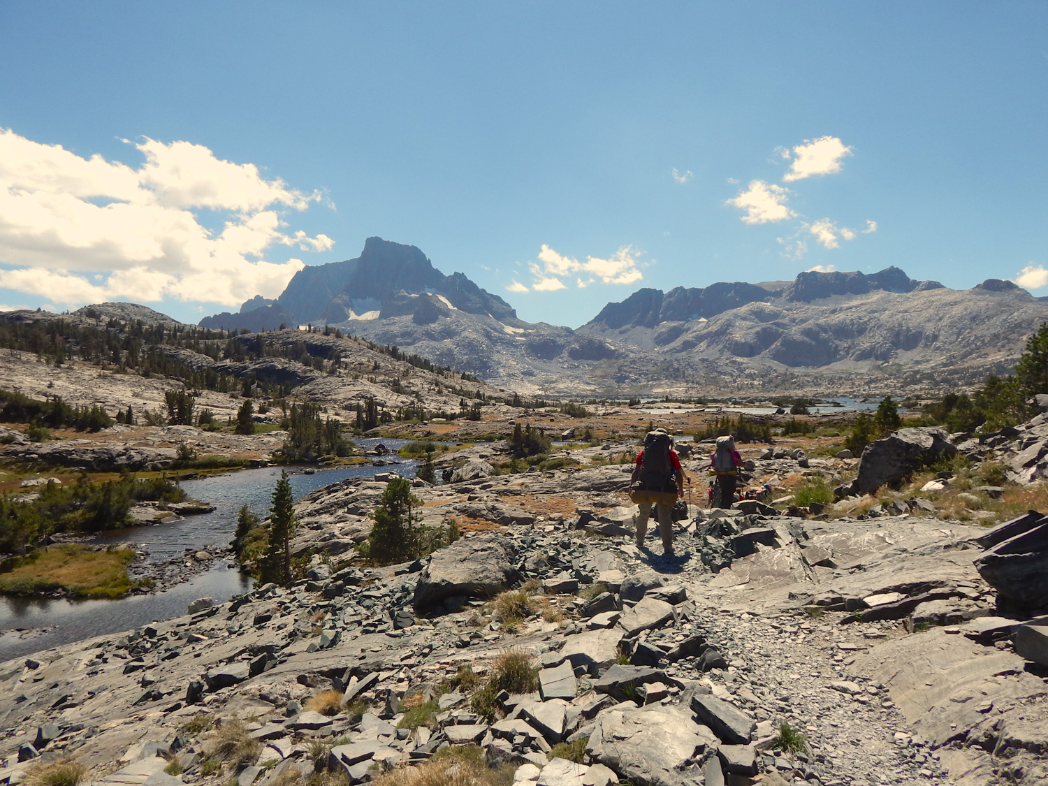
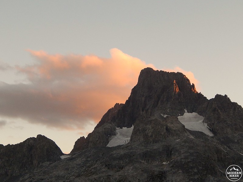
 In another half mile you’ll reach yet another junction – this time, the trail to your left leads southwest to Garnet Lake and the JMT, but you’ll continue to the north. As you weave through the boulders and trees, Banner Peak will start to make a guest appearance in the distance. The mountain will become a more prominent fixture after you finally join the PCT 7 miles in, heading left to wind up and around on your final stretch towards the lake. If it’s warm out, you might be tempted to take a dip in several smaller pools you’ll pass, all fed by the Middle Fork of the San Joaquin River, which counts Thousand Island Lake as its source – you’re witnessing the birth of a river, people!
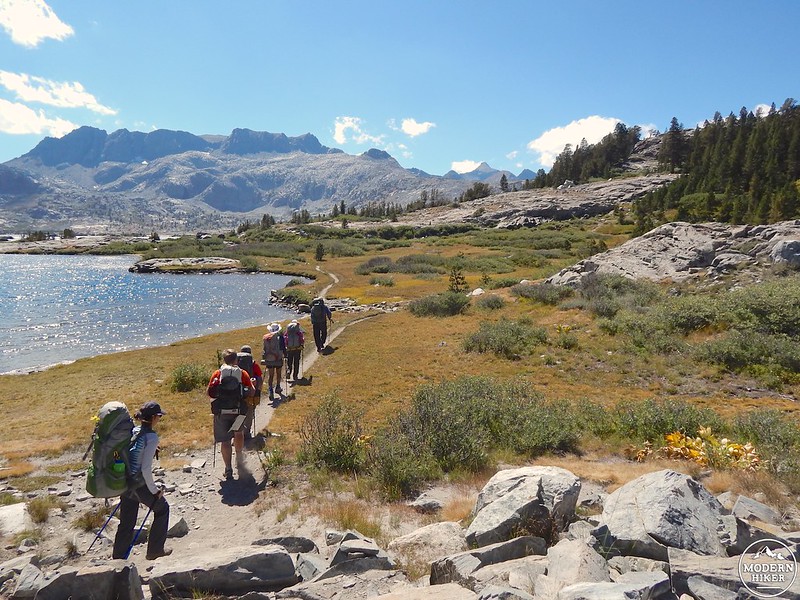
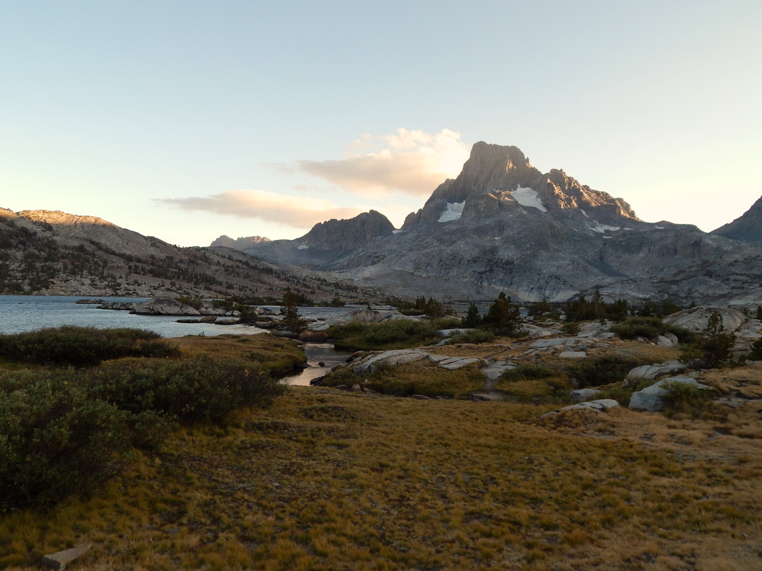
You’ll finally near the lake’s outlet at 7.8 miles – this is a fantastic vantage point (especially during a dramatic sunrise), and this spot also marks the point where the JMT and PCT rejoin headed north. If you’re looking for a beefy day hike, stop here and enjoy a lengthy break before turning around, but if you’re backpacking, depart the PCT and continue on a thin use trail around the lake’s north shore to find some excellent sandy spots scattered along the gently undulating slopes. Look high and low (but not too low – remember to camp at least 200 feet away from the water itself) and some really spectacular sites will present themselves – I happen to think the further you walk, the better they get, but your (theoretic and literal) mileage may vary. One thing to note – camping isn’t allowed within a quarter mile of the outlet, so to be safe, make sure you’re beyond the lake’s first “island” before scouting out a place to stake your tent. Once you’re situated, go for a swim, gather your fishing supplies, break out a good book, or perhaps make a go at the summit of Banner Peak or Mount Ritter. Whatever you choose to do, rest assured that it’ll be in the midst of some of the most spectacular scenery in the Sierra.
NOTES
- A wilderness permit is required for overnight trips
- Check snow and water levels before hitting the trail
- Campfires aren’t allowed at Thousand Island Lake
- Camping isn’t allowed within 300’ of the Thousand Island Lake outlet
- Approved bear-proof containers are required for food storage on overnight trips
- For your own safety, treat all water sources along this route
Tags: 1000 Island Lake, Agnew Meadows, alpine lake, Banner Peak, High Trail, Inyo National Forest, JMT, John Muir Trail, mammoth, Mammoth Lakes, Mt. Ritter, Olaine Lake, Pacific Crest Trail, PCT, San Joaquin River, Sierra, sierra nevada, Thousand Island Lake, transit accessible