If you dropped yourself in three different places on the Colorado Plateau and started hiking, you could conceivably find yourself in three unbelievably different and beautiful types of terrain – but Bryce Canyon is definitely a world unto itself.
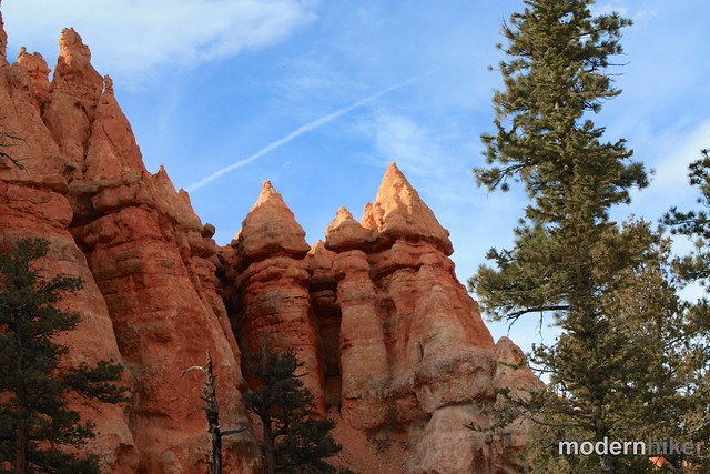
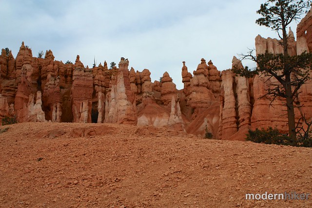
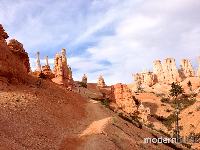
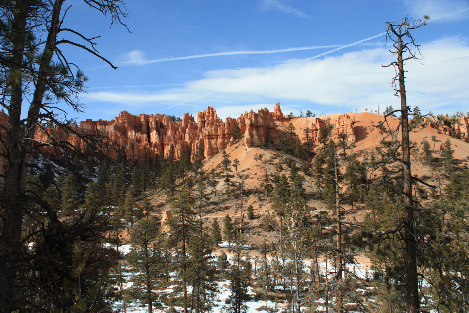
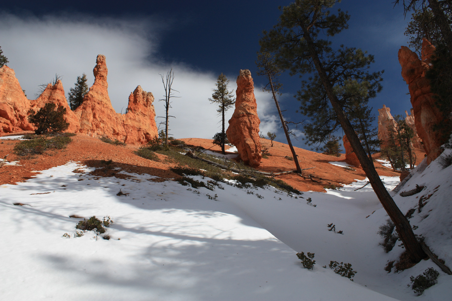
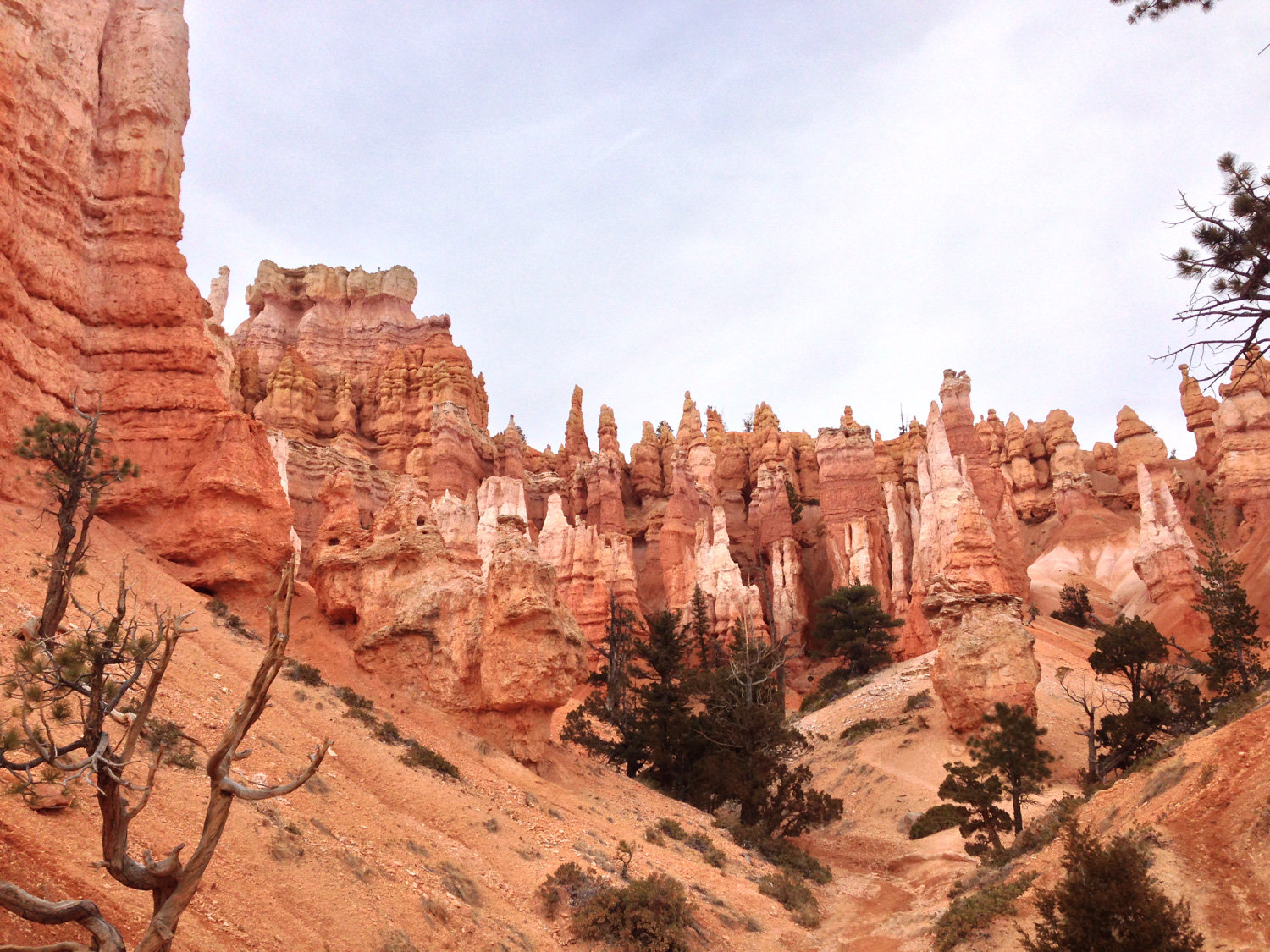
Bryce Canyon isn’t actually a canyon – it’s a group of huge natural amphitheaters that’s been eroded into strange formations, the most famous being the hoodoos. These red and white columns of stone can be found all over the Plateau, but nowhere are they as impressive or numerous as they are in Bryce Amphitheater – the main attraction of the National Park.
This write-up stitches two loops together in the Amphitheater – the Navajo Loop and Peekaboo Loop, as well as the popular Queen’s Garden Trail.
When I arrived at Bryce, I only had a few hours of daylight left – and I was facing a forecast with 2 feet of snow and blizzard conditions for the next day. When I asked about the weather, a ranger looked at me and just said, “If you want to get into the amphitheater floor, go right now.”
Park at Sunset Point to gear up for the descent. If it’s snowed recently, you’ll want to bring along a pair of YakTrax or Stabilicers. A lot of the narrow passageways in the amphitheater don’t get a lot of sun, and can hold onto ice and snow long after a storm has passed – and since the trail starts and ends with steep inclines, you’ll definitely appreciate the extra traction.
Gaze out from the Sunset Point Overlook and start heading down.
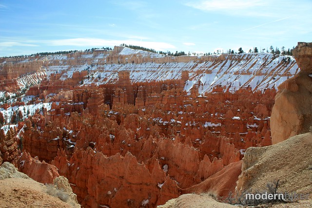
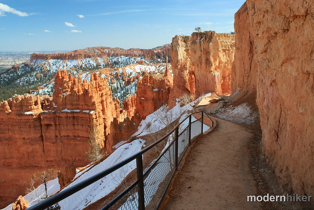
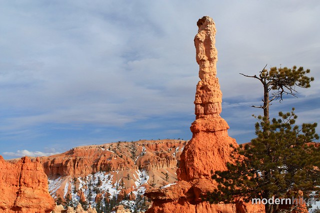
Look for a large hoodoo called Thor’s Hammer close by – and soon you will come across the junction with the Wall Street side of the Navajo Loop.
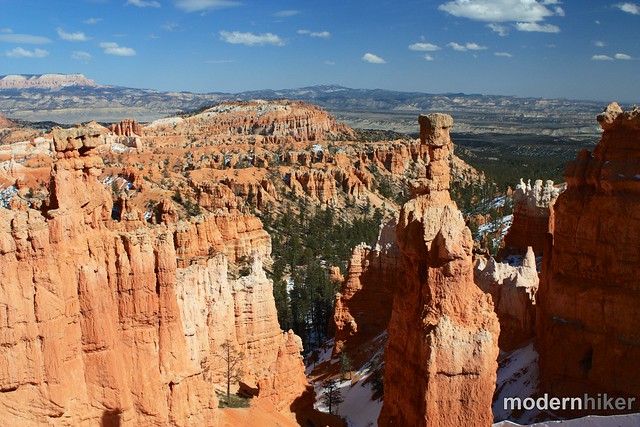
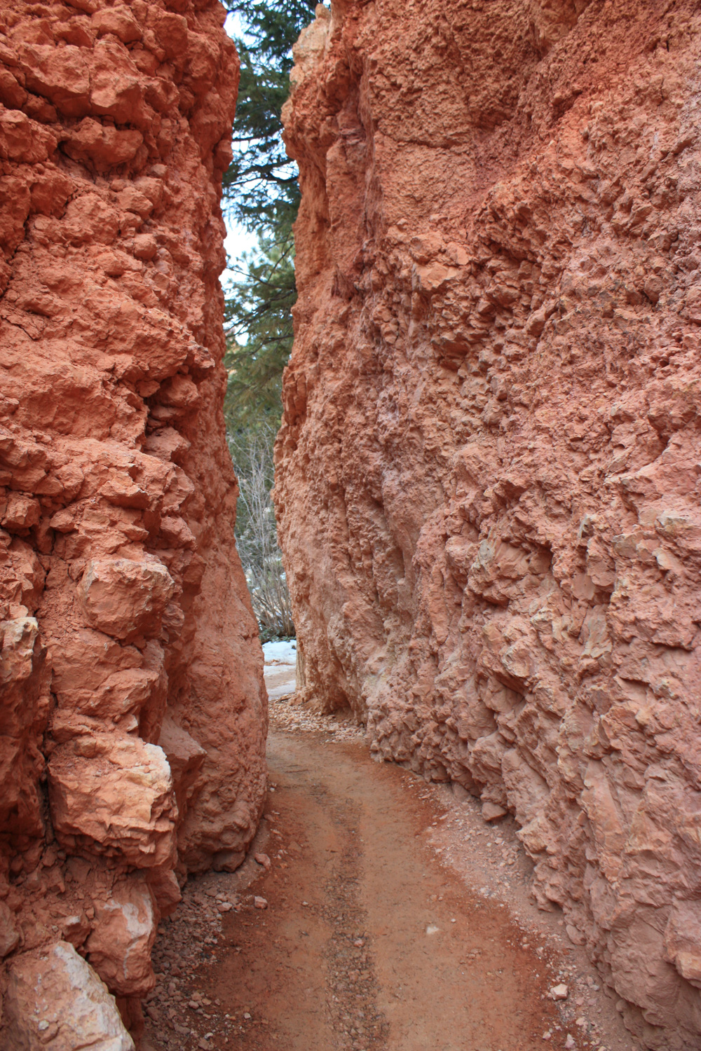
On your way down, you’ll be hiking along some of the tightest switchbacks you’re likely to ever come across. You might be surprised, but somehow trees have found a way to grow in these narrow, shady canyons.
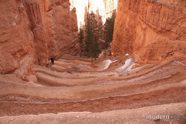
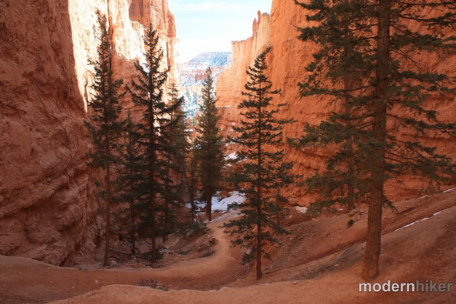
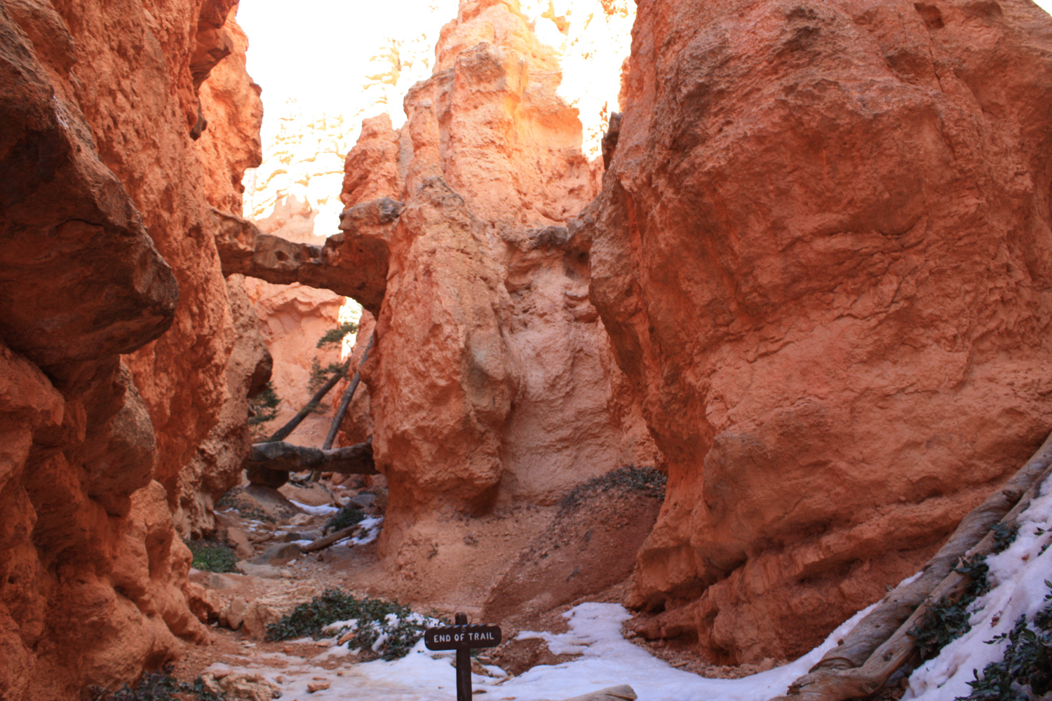
The trail drops 580 feet on the 0.8 mile Two Bridges section. Be sure to look into each of the side canyons for more incredible views – and, of course, the Two Bridges themselves. Do yourselves a favor and try to get a topo map with some of the named hoodoos pointed out – along this stretch, you’ll see Thor’s Hammer and The Sentinal along with Organ Grinder’s Monkey and The Gossips. And, of course, the slightly less whimsically named Two Bridges:
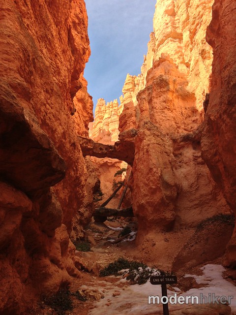
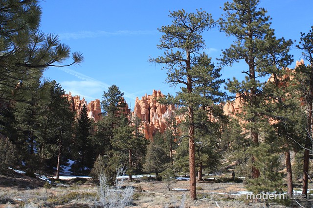
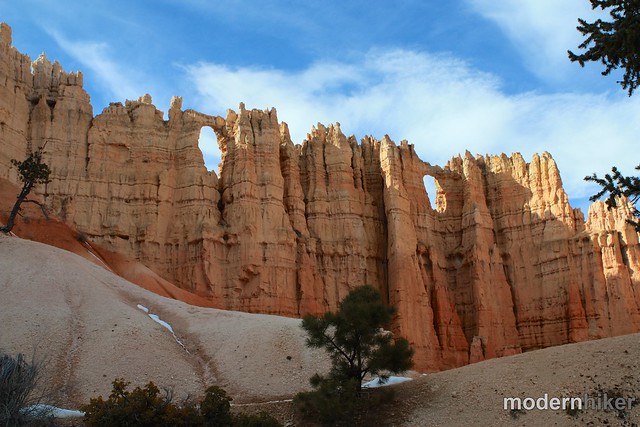
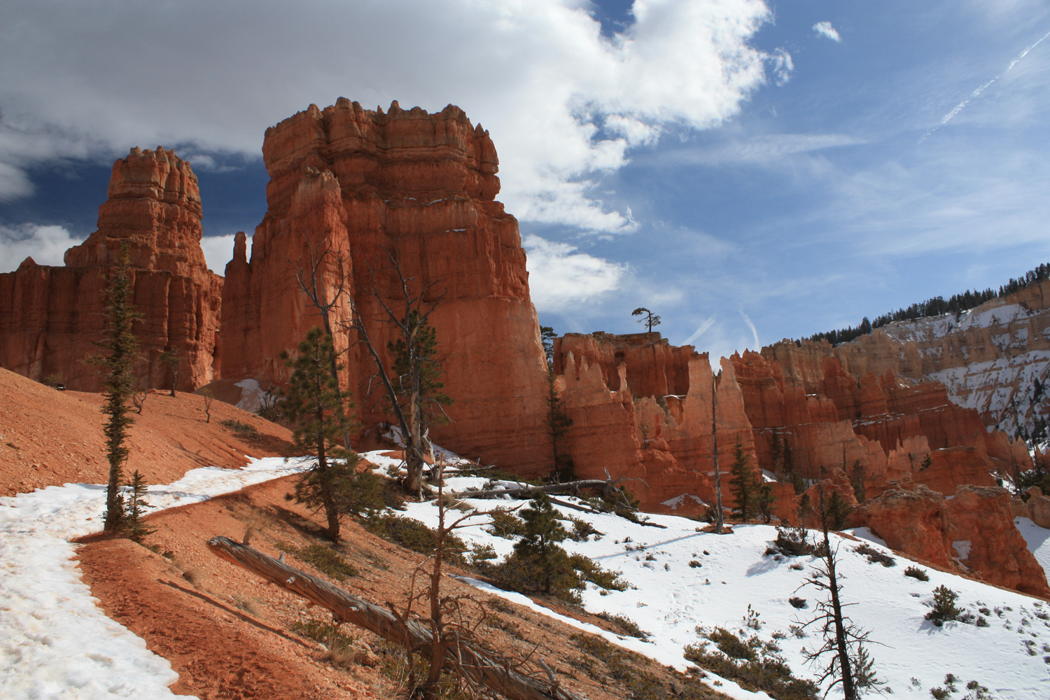
You’ll climb back up about 367 feet in 0.6 miles as the trail makes its way through some pines and soft dirt. You’ll be hard-pressed NOT to be slack-jawed as you explore the interior of Bryce Amphitheater. Looking at the hoodoos from above is exhilarating – and squeezing through the narrow paths of the Navajo Loop is fun – but there’s just something about walking among these rock formations at their level that really brings their scale and wonder into focus. On this section of trail, look for a large formation known as The Cathedral. You’ll know it when you see it. To your immediate south near the canyon rim is a ridge called the Wall of Windows. You should be able to figure that one out, too!
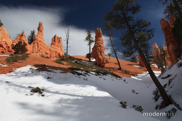
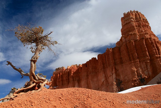
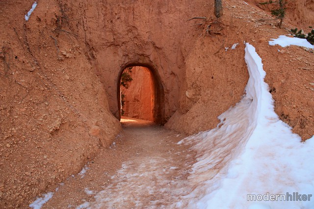
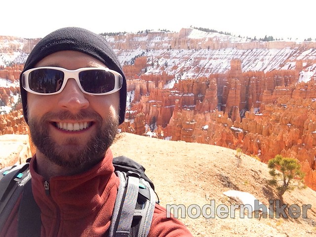
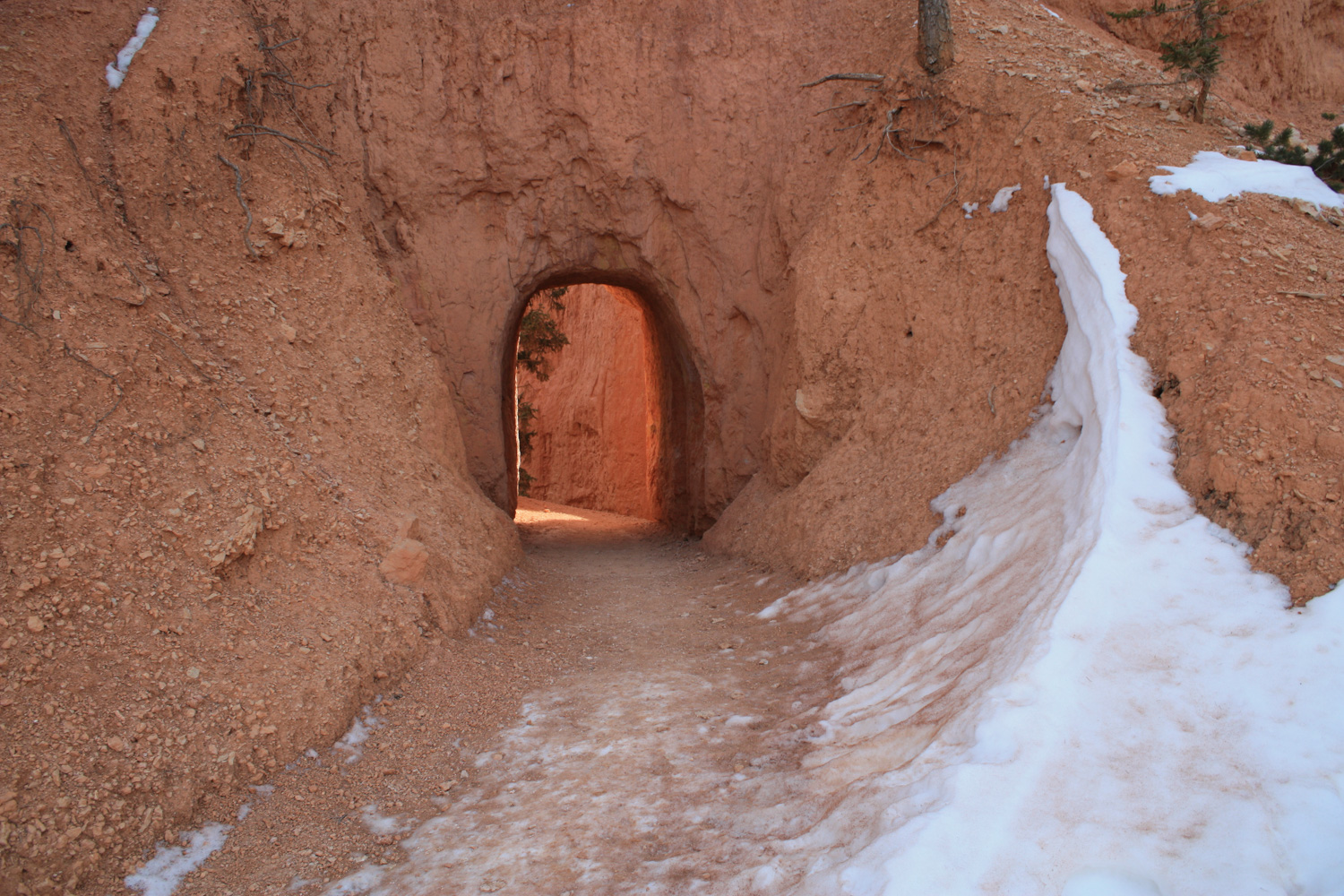
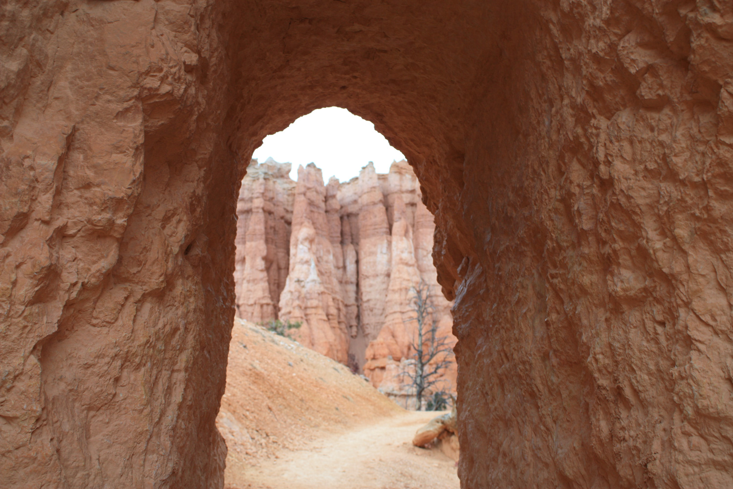
If you’re not content to just appreciate the hoodoos from afar, don’t worry – this trail will let you get up close and personal with them – and even go through them via small tunnels, too. I’m pretty sure I had a giant grin on my face the entire time I was hiking down here, so don’t fight it if you find yourself smiling for no reason.
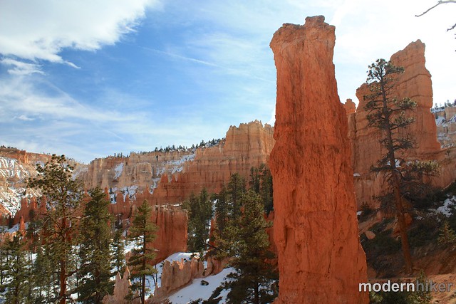
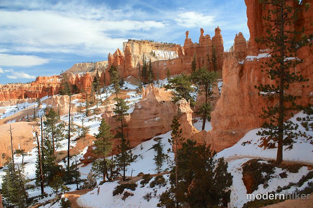
At about the 2.4 mile mark, you’ll pass a side trail that will take you back up to the Rim at Bryce Point (1.7 miles one-way), but you’re going to ignore that and keep heading back down through Peekaboo Canyon.
You’ll pass an outhouse and small equestrian facility cuts through more of those magical hoodoos.
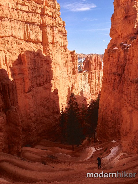
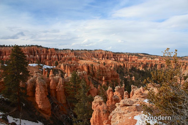
It’s 1.3 miles from the spur trail back to the start of the Peekaboo Loop. From there, backtrack 0.2 miles and this time ignore both sections of the Navajo Loop and instead stay to the far right / keep hiking north toward the Queen’s Garden.
It’s 0.6 miles to the Queen’s Garden – and while there aren’t a lot of hoodoos along the way, when I visited some other hikers made their own stone sculptures near a wash just outside the Queen’s Garden. I didn’t know about the Bryce Canyon Cairn Garden before I went here – there’s not much about it online or in any literature I read – but apparently it’s a semi-permanent thing. Whether or not you know about it (and now I guess you do), coming upon a scene like this seemingly out in the middle of nowhere is a very unique experience. They’re even in the trees!
I thought this was pretty neat when I saw it, but you could make a strong case for them as an unnatural alteration of the landscape (because it is), so I wouldn’t be surprised if rangers or volunteers came down every once in a while to knock these things down.
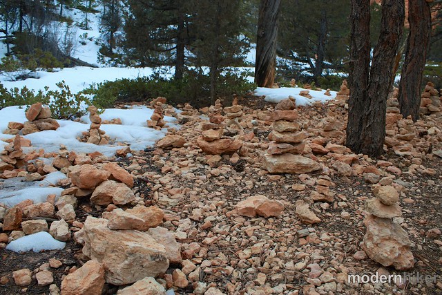
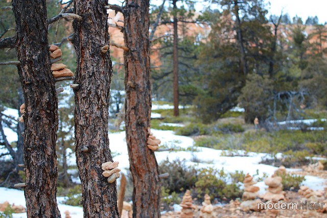
Regardless of your feelings about cairns, the Queen’s Garden is right around the corner from the Cairn Garden and 100% natural. Just head up that red rock trail and make a very short trip through some narrow squeezes on a spur trail that will take you inside a very tiny amphitheater surrounded by dozens of hoodoos – including one that allegedly looks like Queen Victoria riding a turtle or whale or something. I apparently didn’t see much because I didn’t take any photos, but I guess if you squint and really use your imagination you could make it work for you.
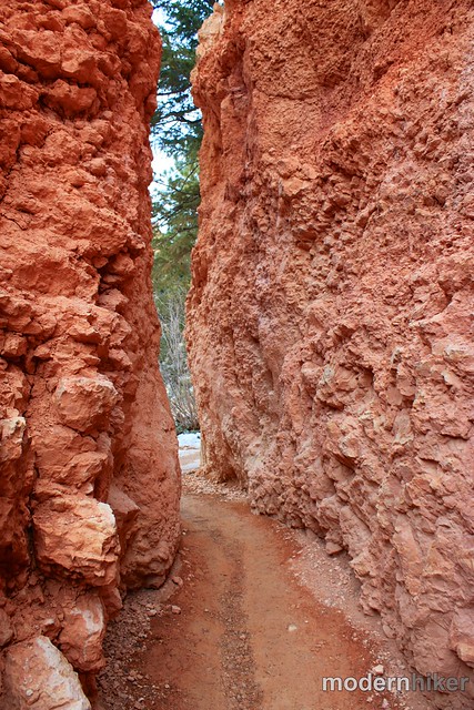

Whether or not you see the Grandmother of Europe, the Queen’s Garden is a really fun place to spend some time.
You’ve got another 0.9 miles of trail from the Queen’s Garden back up to the rim at Sunrise Point, and along the way you’ll pass through more tunnels and gaze upon even more incredible landscape as the hoodoos stretch into the horizon past Ship Rock.
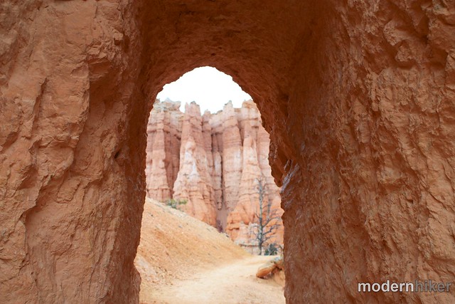
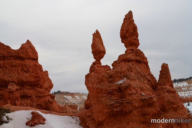
Once you reach the rim at Sunrise Point, it’s only an easy, flat, beautiful 0.5 miles along the rim back to Sunset Point.
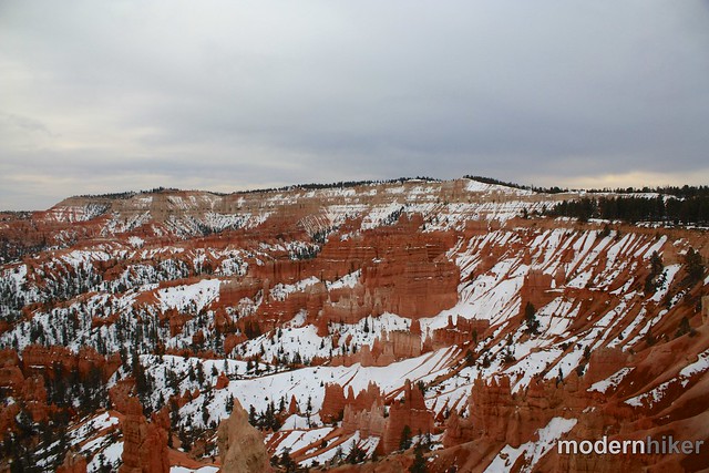
Bryce Canyon National Park isn’t the easiest place in the world to get to in the winter. It’s remote, many services shut down in the off-season, and you may find yourself like me and snowed-in during a winter snowstorm. However, it is 100% worth the effort to visit when it’s cold. The park is less crowded, rangers offer snowshoe hikes, you can book sleigh rides from the nearby lodges, and the colors of the hoodoos are absolutely stunning when they’re wet – especially when there’s still a bit of the white stuff dusting them.
To wit:
Tags: bryce amphitheater, bryce canyon cairn garden, bryce canyon national park, geology, Hiking, hoodoos, navajo trail, peekaboo canyon, peekaboo trail


