The Lost Lake Trail is a classic hike in Colorado. It’s also one of those “all around” hikes, not too long, not too difficult, and the scenery is the iconic stuff Colorado is made of. This makes it a very popular hike in the warmer months, but it is also a great trail for snowshoeing in the winter. It’s not hard to understand why so many hikers flock here. The trailhead is easy to get to, it’s not a far drive from most major cities, and it’s a moderate out and back hike that you can squeeze into your day at most any time. Get up there early for some sunrise glows, hike it midday and catch some rays on the lake, or tackle it later in the afternoon and admire the backdrop of sunset colors behind the surrounding peaks.
Lost Lake is a short 4 mile hike outside the Indian Peak Wilderness Area, and is close to the town of Nederland. Drive through the small mountain town of Eldora and you will find yourself at a dead end. Most people park here along the road (where permitted), however if you have a high clearance 4 wheel drive vehicle, you can drive past the trail sign, down the rocky road, over a small runoff stream, and park in the designated area closer to the start of the hike. If you choose to walk, this will add just about an extra mile to the trip (there seems to be conflicting mileage information on this hike due to this variation, although most data seem to put the total mileage between 3.8 and 4.2 miles).
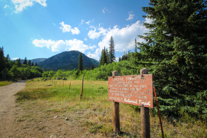
As you walk down the road you will first pass a sign designating the Hessie Townsite. This is not the trailhead.
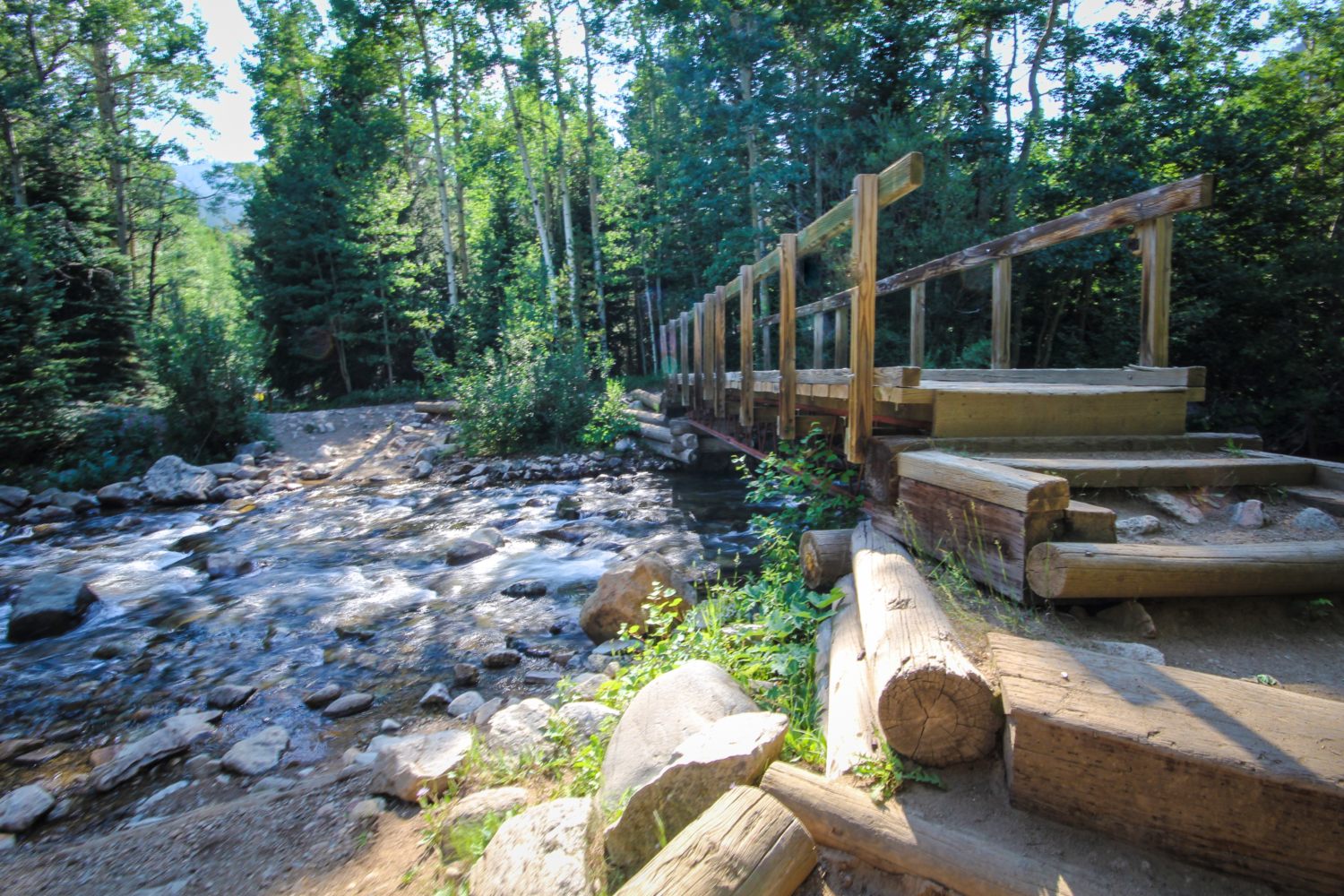
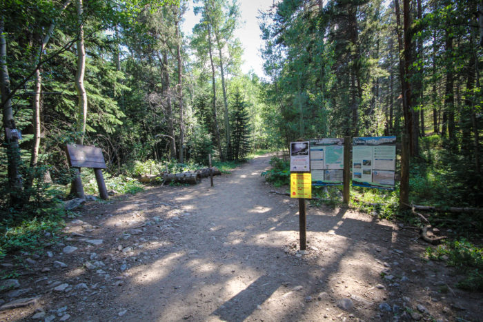
Continue down the road until you reach your first river crossing and the bridge that will guide you over the North Fork of Middle Boulder Creek. Once you’ve crossed, you will almost immediately see the Indian Peaks Wilderness area map and Hessie trailhead sign. The trial begins at about 9,000 ft. and will reach its highest point at 9,804 ft., your destination.

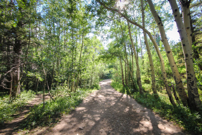
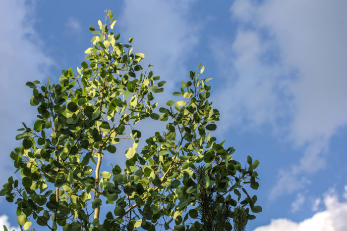
Set out west into the forest lined with aspen. This beginning section of the trail stays cool in the shade of the trees, and is a nice way to ease into the hike.
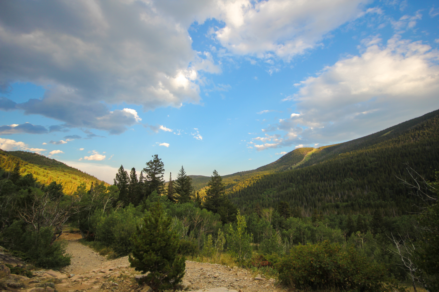
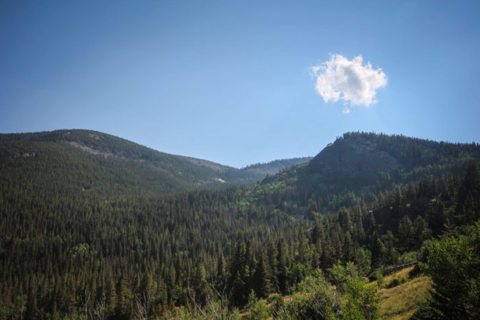
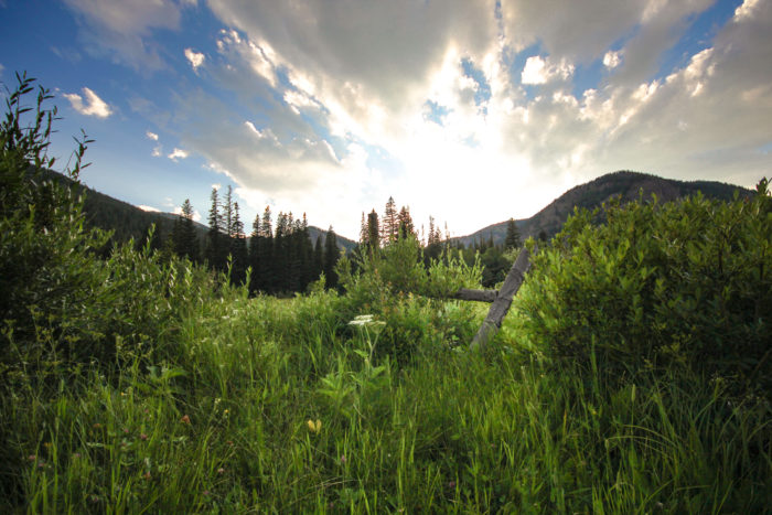
Continue along the trail until you are just about a mile in. You will emerge from the trees and catch your first sweeping views of the valley below and the mountains ahead.
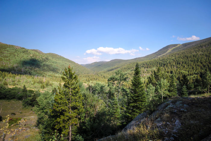
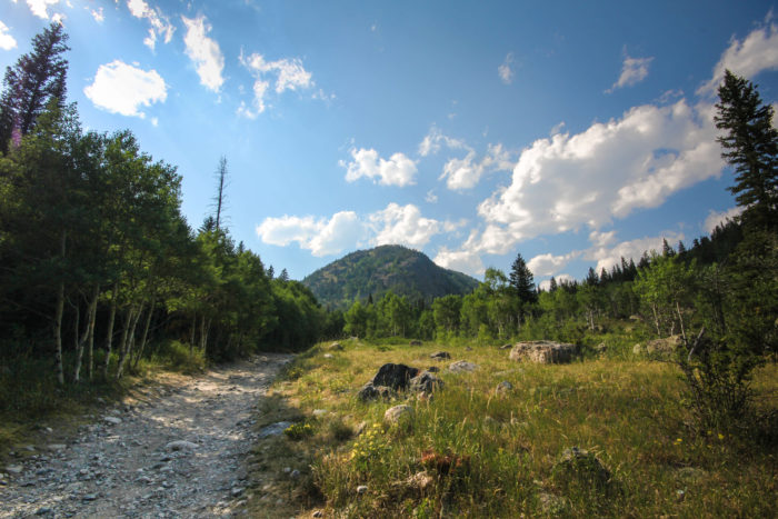
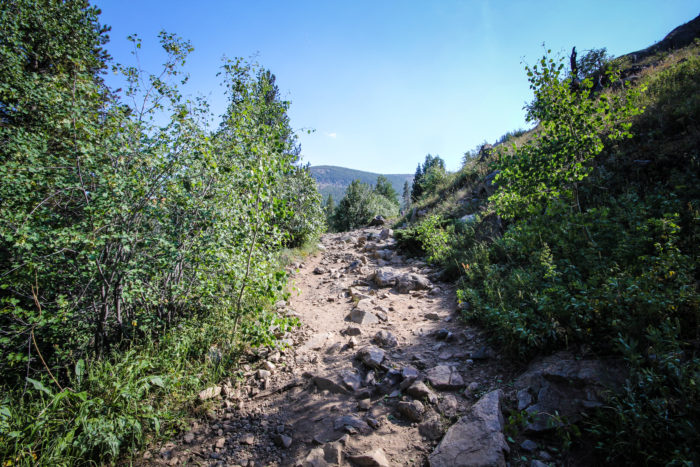
Here you will be on the most exposed part of the hike. This also happens to be a big chunk of the overall elevation gain you will make on the trail, though you will be ascending the entire time. What was once an old rocky road is now a portion of the hike. Traverse up and over the large rocks, and watch your step – rolled ankles happen often on this kind of terrain.
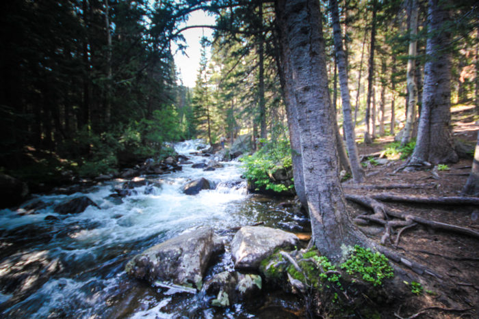
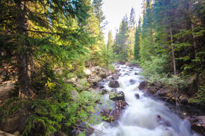
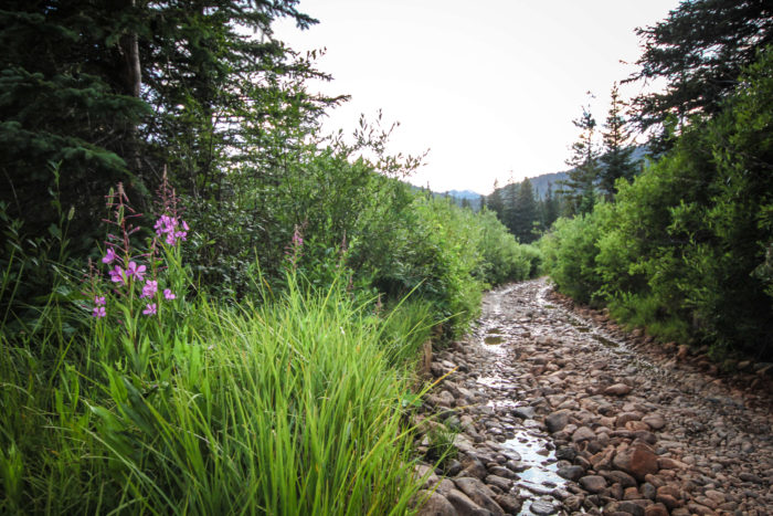
As you climb higher, you will start to hear Middle Boulder Creek rushing to your left. There are many cutoffs from the trail around this area that will take you to the river. Definitely hop off at any desired point and check it out. This spot serves as a great breaking point if you need to hydrate, re-fuel, or relax in the cool river air for a bit.
After you’ve enjoyed the ambience of the river, get back on the trail and continue the moderate climb. The trail leads back into wooded areas, and will mostly stay this way until you reach the lake. The shade on this trail really makes this hike more enjoyable.
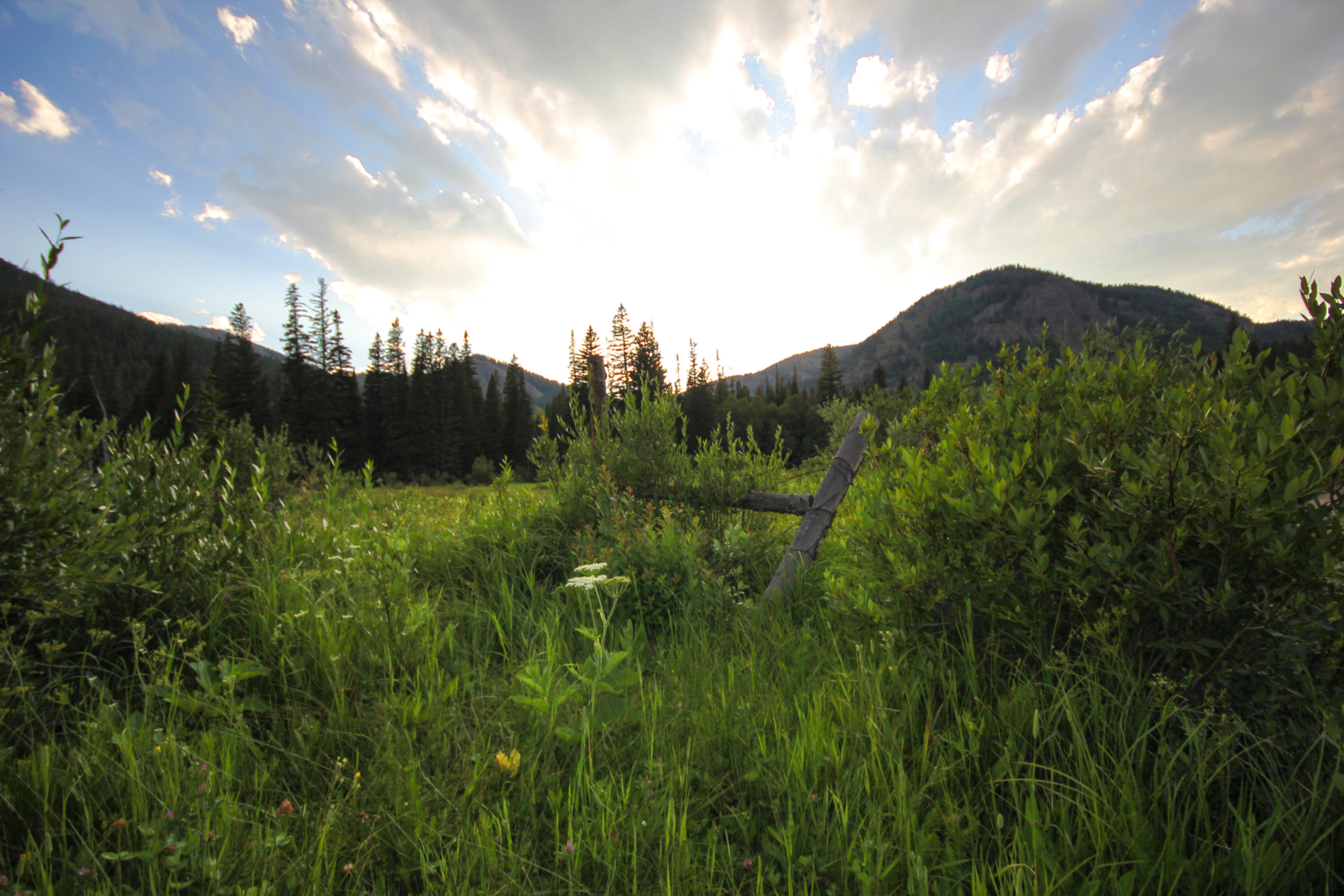
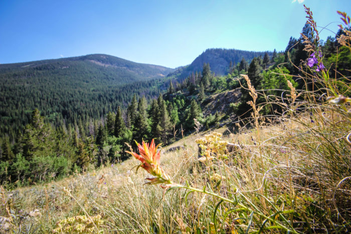
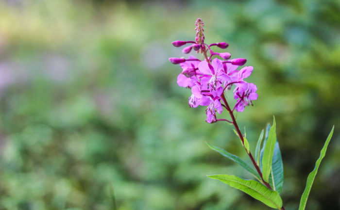
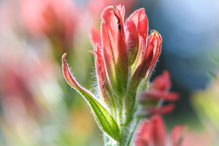
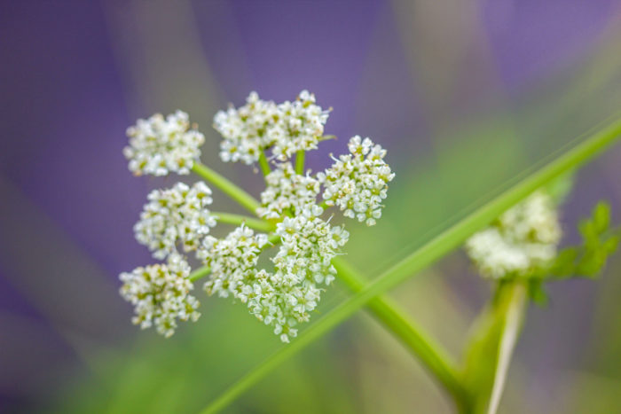
Keep an eye out for wildflowers along the sides of the trail during this portion. This part of Indian Peaks is well known for its wildflower viewing during the month of July. In fact, The Fourth of July Trailhead is just up the dead end road to the right of Hessie, and is named as such for its brilliant displays of color around the fourth of July.
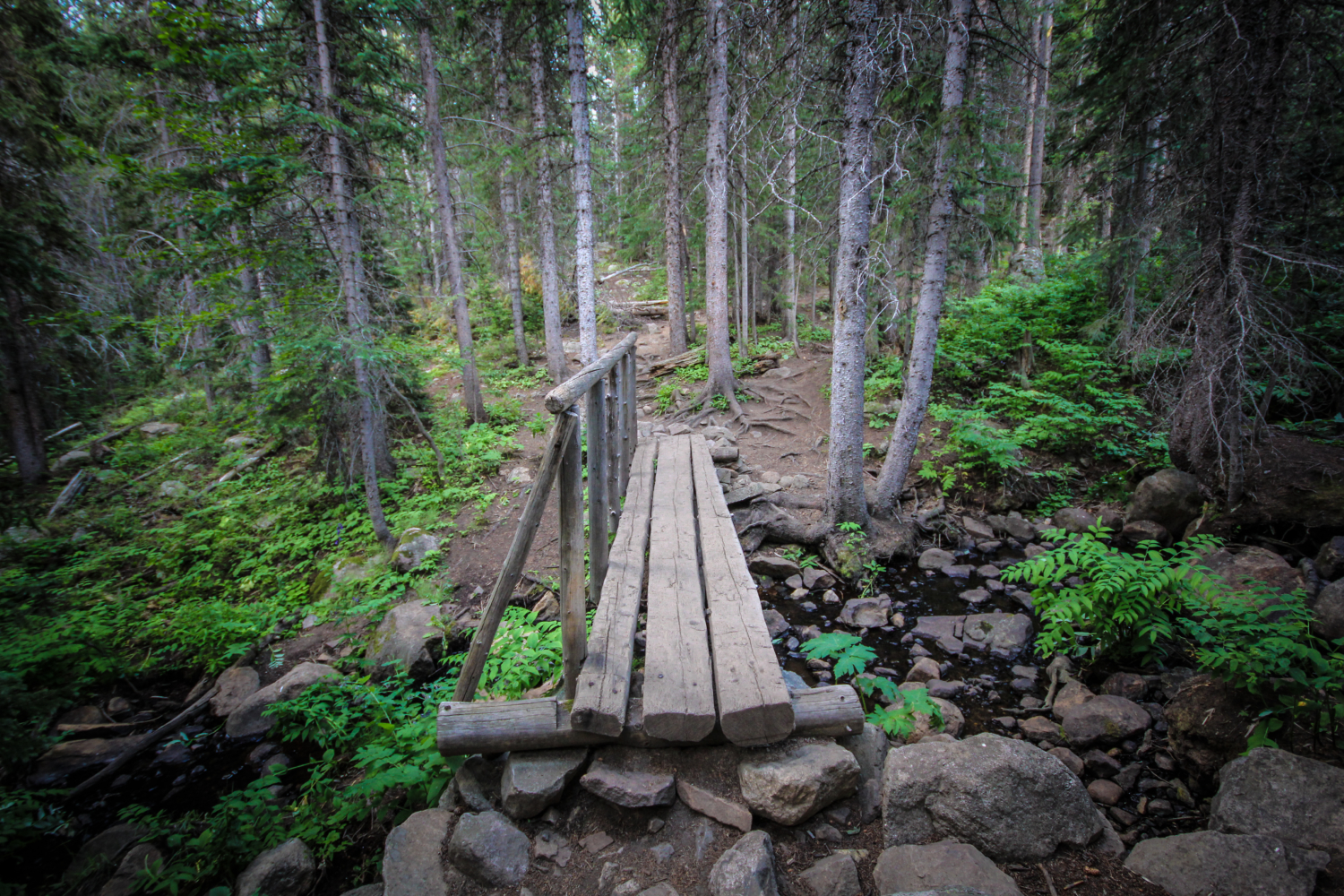
Soon you will encounter your second river crossing, also navigated by bridge. The climb to the top levels out a bit around here, and becomes much less of a strain than the portion below.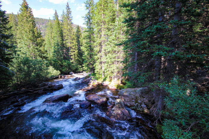
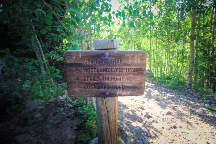
Just another short distance and you will reach the big trail junction. Continue on the Devil’s Thumb trail. From here it is .5 miles to Lost lake. If you are however up for more of a challenge you have a few options. The Devil’s Thumb Trail will take you to Lost Lake (.5 miles), Woodland Lake (4 miles), as well as King Lake (5 miles). Or you could opt for the Devil’s Thumb Bypass Trail, which will take you to Jasper Lake (4 miles), Devil’s Thumb Lake (5 miles), and Devil’s Thumb Pass (6 miles).

For those who wish to continue to Lost Lake, cross the third bridge, and the Middle Boulder Creek’s South Fork. You are very close to reaching your destination. Keep climbing for about a quarter of the last half mile and you will arrive at the next trail junction. This is where you would break off to reach Woodland, King Lake, or continue on the Devil’s Thumb Trail. Keep left at the fork and follow the path leading towards Lost Lake.
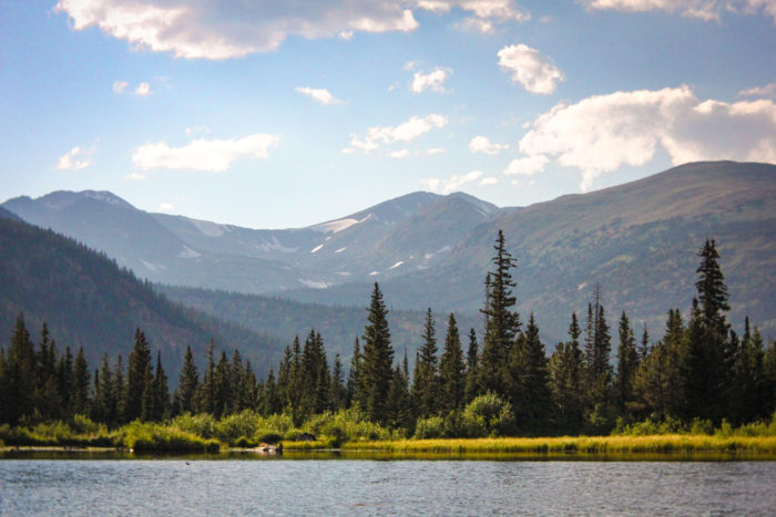
Just a final ascent through the woods, one last river crossing and you will suddenly emerge into a clearing and catch your first view of the lake. There are 8 designated primitive campsites that surround the lake, another reason this trail is awesome. It’s great for fishing, families, as well as first time backpackers.
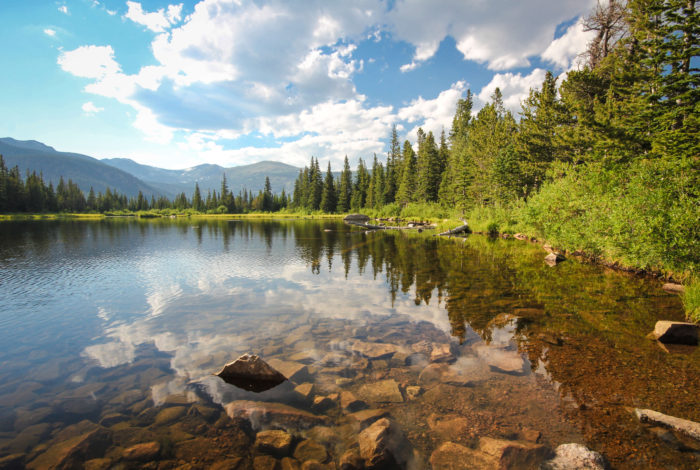
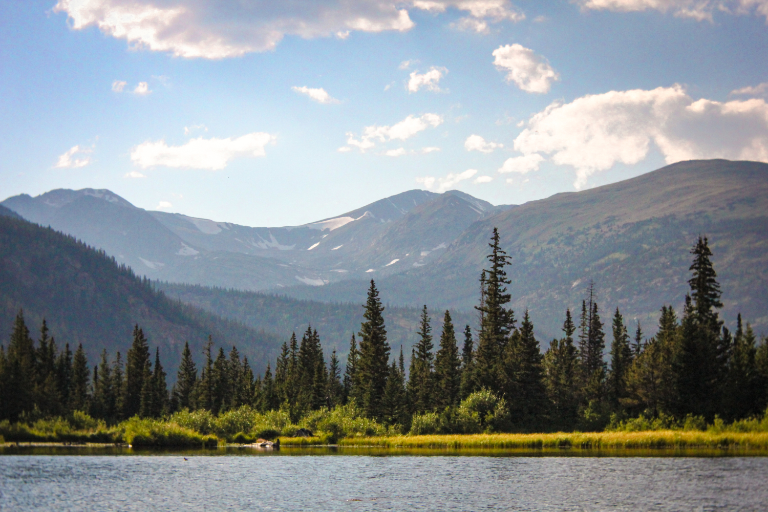
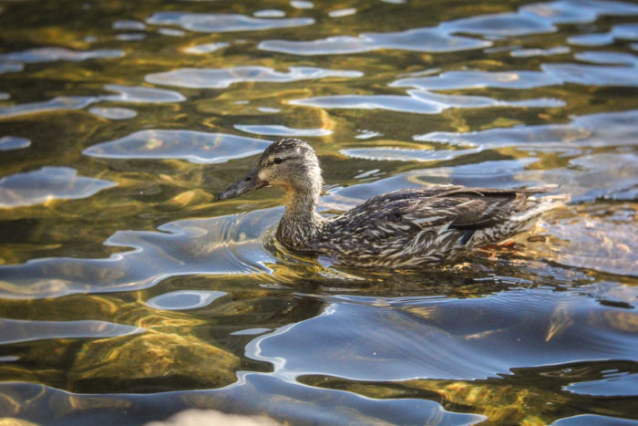
Find your way down to the lake and take it all in. There is a hiker made trail that allows you to circumnavigate the lake so you can choose your desired view and hang out. I’ve heard that there is an old mining structure on the south side of the lake, though I have not discovered it myself. There are a few particular large rocks that sit out in the water that are my favorite places to kick back and relax. They are also my favorites vantage points to photograph the lake and tall peaks that serve as its backdrop. The lake is stocked with Rainbow Trout so bring your fishing pole and license.
This is an out and back trail, so once you’ve taken in the views and are ready to head out, get back to the trail and descend through the forest.


If there is still time in the day for you, there are a lot of options in the area to add another layer to your adventure. I recommend heading down to Nederland – it’s a funky mountain town with lots of options for post hike grub and drinks. I particularly enjoy perusing the Nature’s Own store for fossils, geodes, crystals, and more. Right on the corner of town near the roundabout, you can’t miss it.
Tags: Colorado, eldora, foliage, indian peaks wilderness, lost lake, middle boulder creek, nederland, wildflowers